Elevation map of Uva Province, Sri Lanka
Location: Sri Lanka >
Longitude: 81.3399414
Latitude: 6.8427612
Elevation: 149m / 489feet
Barometric Pressure: 100KPa
Elevation Map:
Satellite Map:
Related Photos:
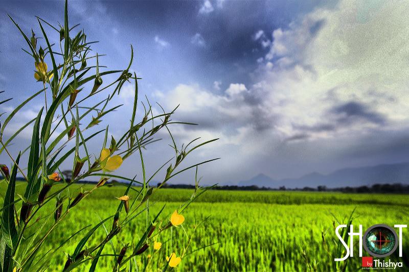
Brighter Day
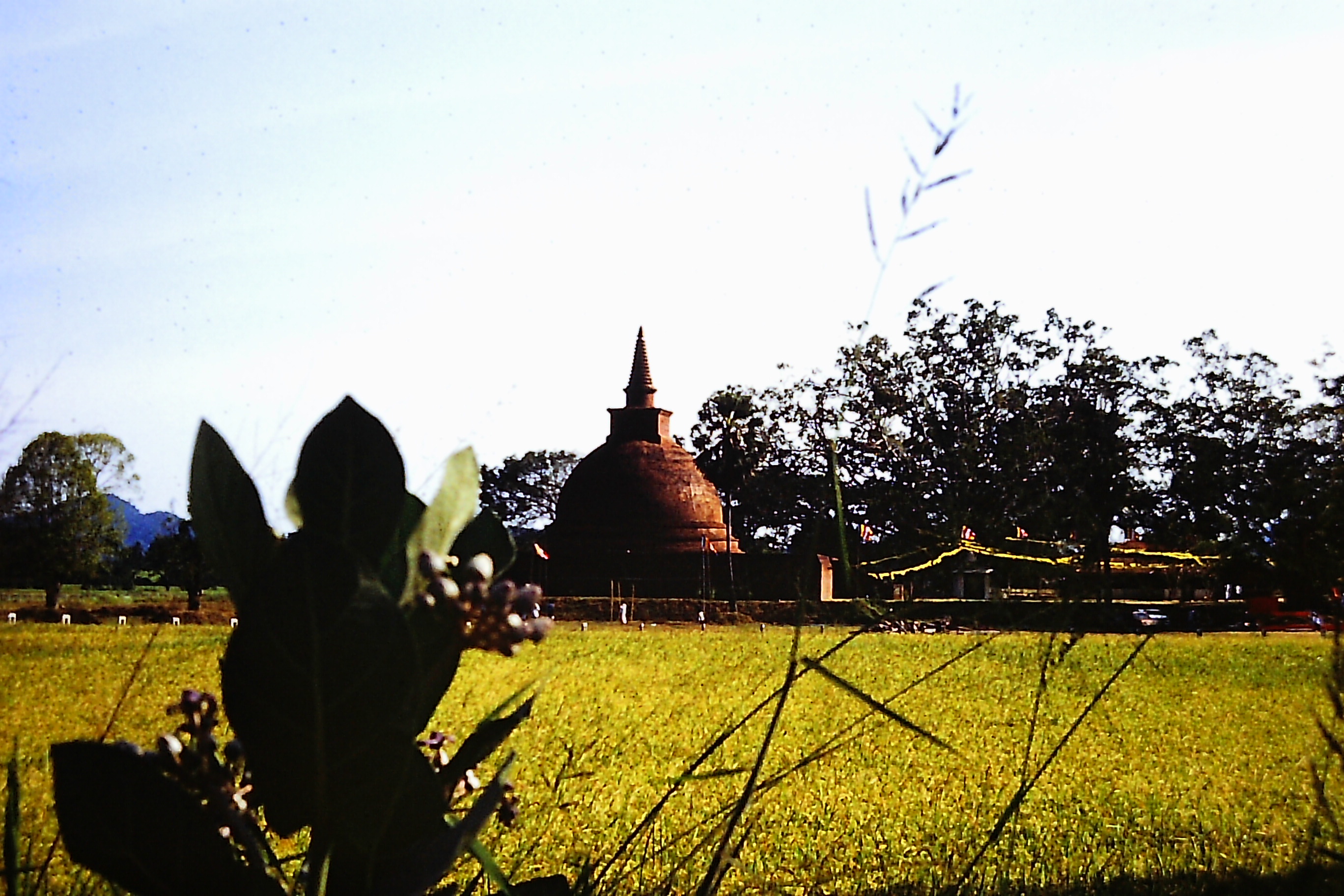
Dematamal Viharaya, Moneragala, Sri Lanka
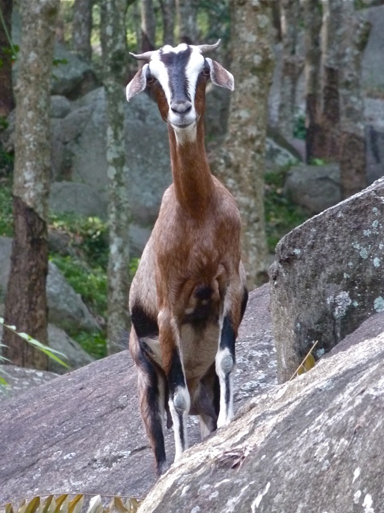
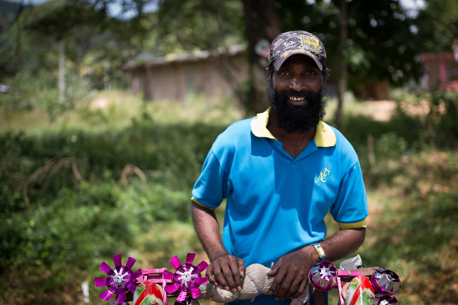
Perky Goat, Monaragala, Sri Lanka

Namunukula Mountain Range
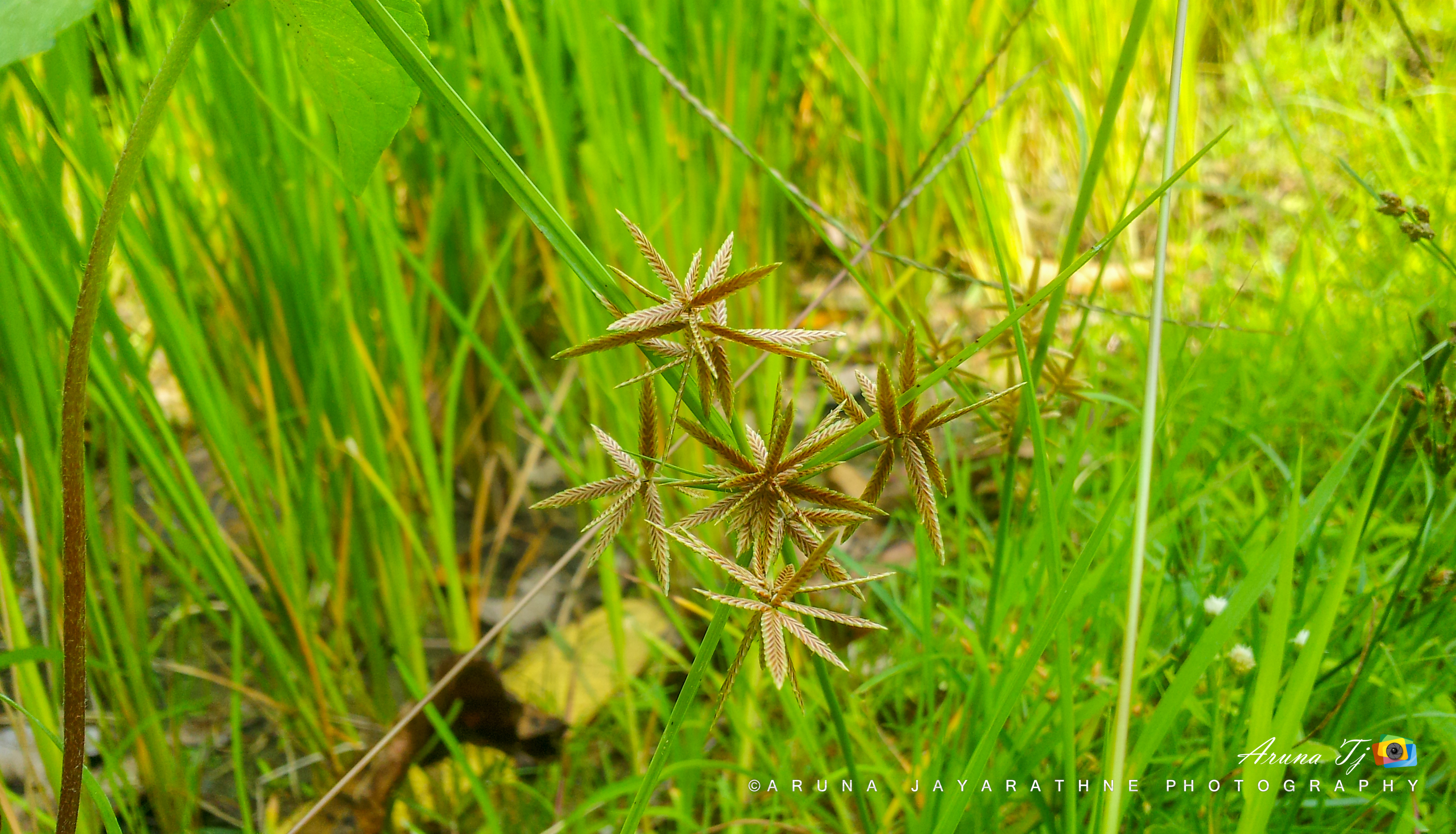
Weeds found in Paddy cultivation
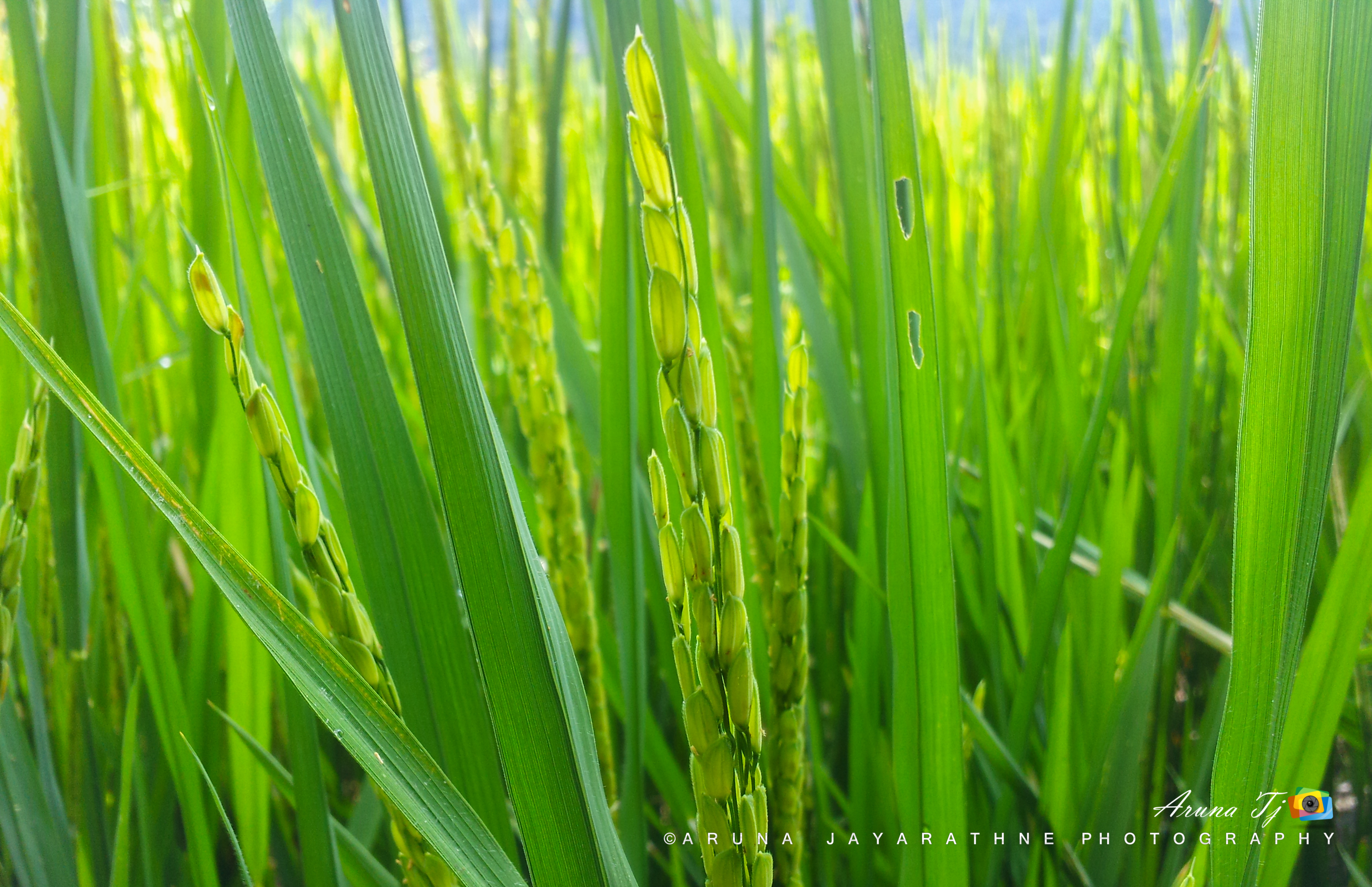
Paddy cultivation

Ösfkvhövksfh
O02A7220.jpg

#අවුරුදු
Topographic Map of Uva Province, Sri Lanka
Find elevation by address:

Places in Uva Province, Sri Lanka:
Places near Uva Province, Sri Lanka:
Moneragala
Monaragala
Pelwatta
Kumarapura
Pelwatte Sugar Industries Limited
Medagama National School
Wellawaya
Little Adam's Peak
Amba Estate
Ella Rock
Oak Ray Ella Gap Hotel
360 Ella
Ella
Ella
Kendagolla
Maple Guest Inn
Damanwara
Ella Gap Panorama
Badulla
Miriyabedde
Recent Searches:
- Elevation of Corso Fratelli Cairoli, 35, Macerata MC, Italy
- Elevation of Tallevast Rd, Sarasota, FL, USA
- Elevation of 4th St E, Sonoma, CA, USA
- Elevation of Black Hollow Rd, Pennsdale, PA, USA
- Elevation of Oakland Ave, Williamsport, PA, USA
- Elevation of Pedrógão Grande, Portugal
- Elevation of Klee Dr, Martinsburg, WV, USA
- Elevation of Via Roma, Pieranica CR, Italy
- Elevation of Tavkvetili Mountain, Georgia
- Elevation of Hartfords Bluff Cir, Mt Pleasant, SC, USA