Elevation of Uurainen, Finland
Location: Finland >
Longitude: 25.4416586
Latitude: 62.4969257
Elevation: 170m / 558feet
Barometric Pressure: 99KPa
Elevation Map:
Satellite Map:
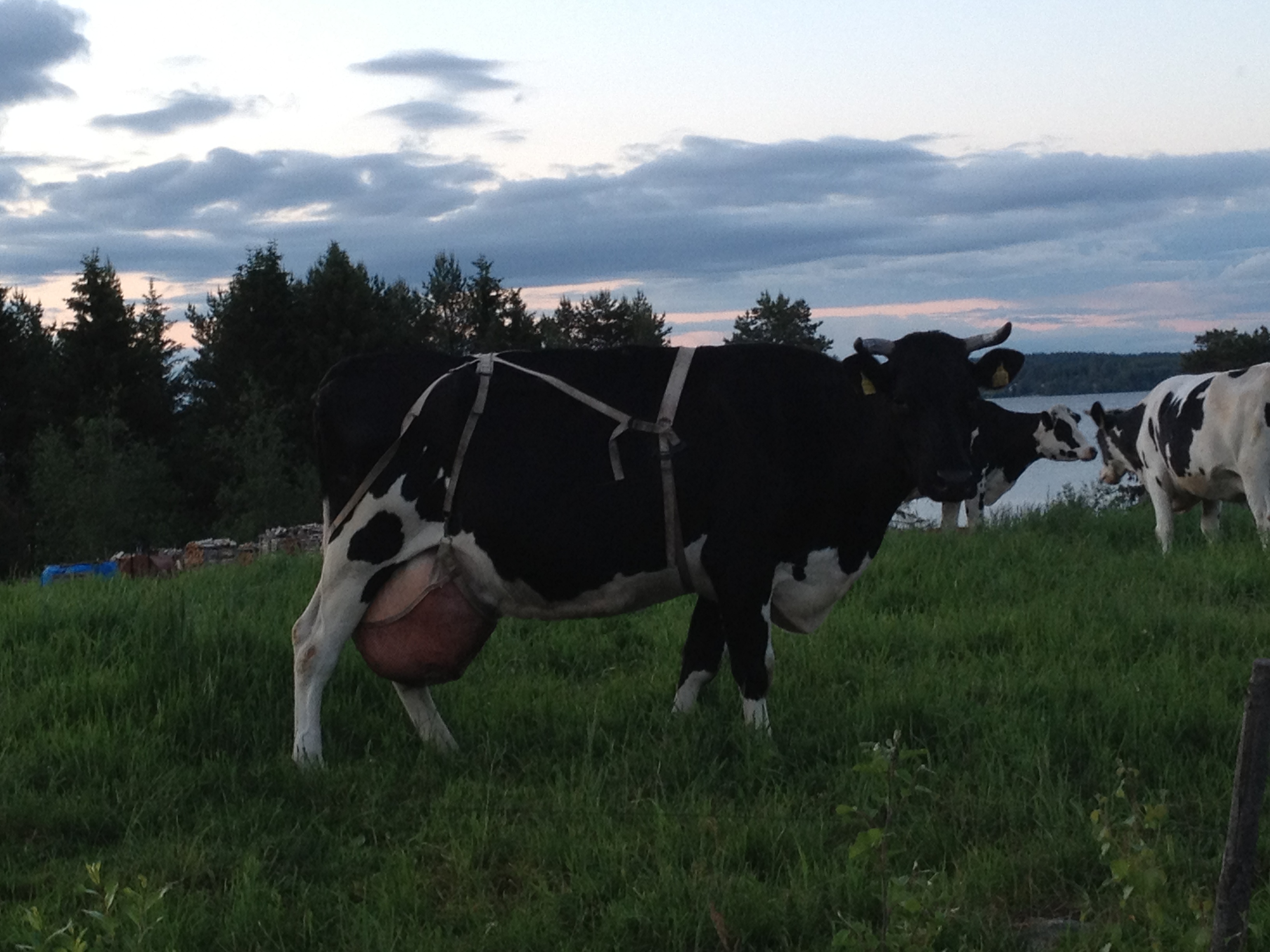
Related Photos:
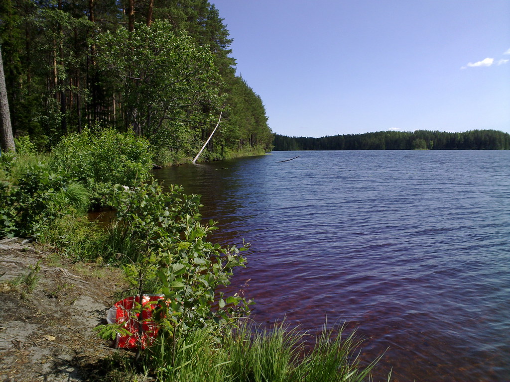
The lunch view
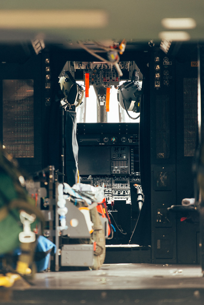
Office with a View

Здесь рыбы нет #finland #lake #sunset #dog #husky #huskydexter #siberianhusky

Начинаем трудовую неделю с воскресенья

The End of the Road
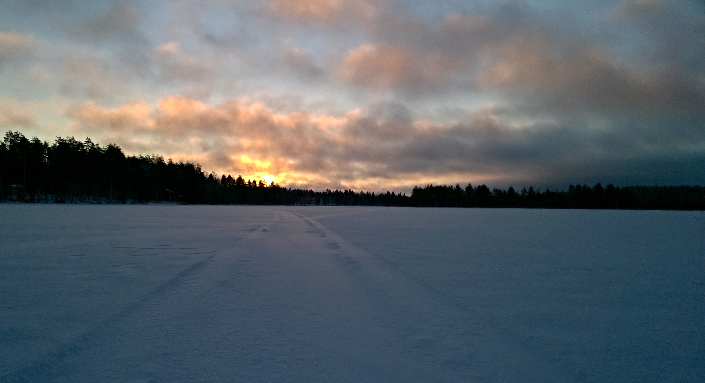
Sunrise on the icy lake
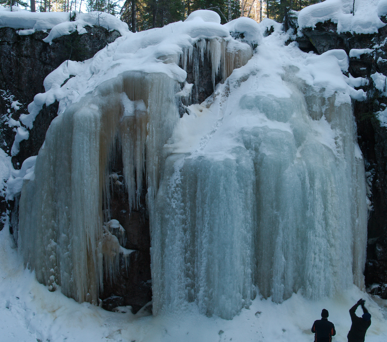
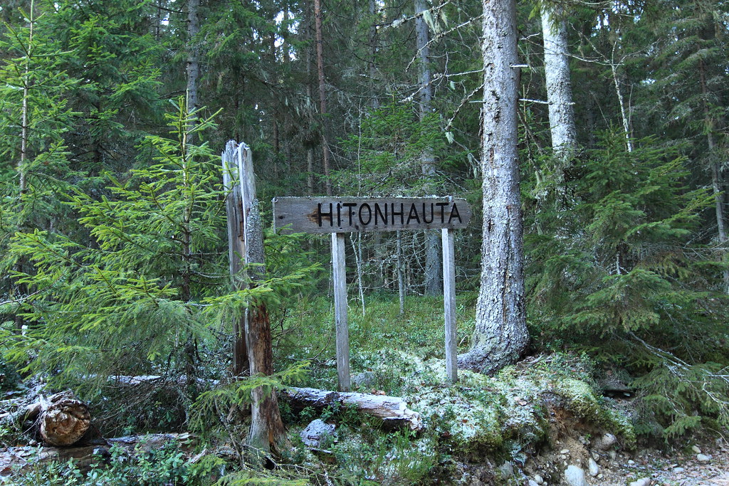
Hitonhauta ice
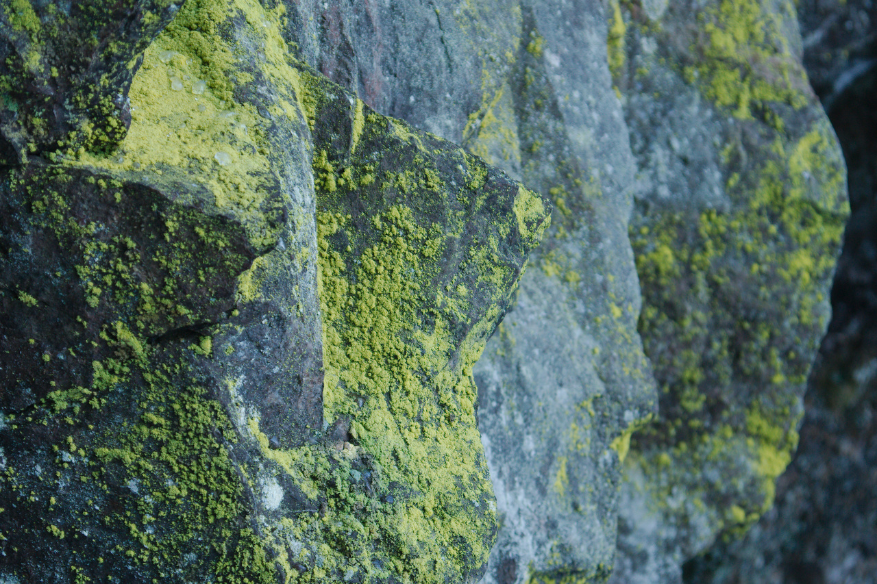
Hitonhauta rocks
Juhannus 2012
post to Hitonhauta_2016_01_01_0030
Topographic Map of Uurainen, Finland
Find elevation by address:

Places in Uurainen, Finland:
Places near Uurainen, Finland:
Kelloperäntie, Uurainen, Finland
Äänekoski
Hallintokatu 4, Äänekoski, Finland
Tee Mun Tötterö
Äänekoski Sub-region
Iso-kuukkasentie 312
Jyväskylä
Jyväskylä Sub-region
Compass
Moksintie, Jyväskylä, Finland
Muurame
Finnintie, Laukaa, Finland
Ahjokatu 5, Jyväskylä, Finland
Unnamed Road
Siltakatu 15
Kisällintie 7, Jyväskylä, Finland
Lehdokintie 9, Jyväskylä, Finland
Iltatuulentie 4, Jyväskylä, Finland
Juurakontie 5, Muurame, Finland
Samulinranta 4
Recent Searches:
- Elevation of Corso Fratelli Cairoli, 35, Macerata MC, Italy
- Elevation of Tallevast Rd, Sarasota, FL, USA
- Elevation of 4th St E, Sonoma, CA, USA
- Elevation of Black Hollow Rd, Pennsdale, PA, USA
- Elevation of Oakland Ave, Williamsport, PA, USA
- Elevation of Pedrógão Grande, Portugal
- Elevation of Klee Dr, Martinsburg, WV, USA
- Elevation of Via Roma, Pieranica CR, Italy
- Elevation of Tavkvetili Mountain, Georgia
- Elevation of Hartfords Bluff Cir, Mt Pleasant, SC, USA