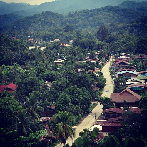
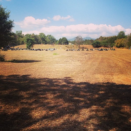
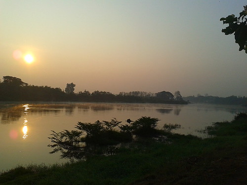
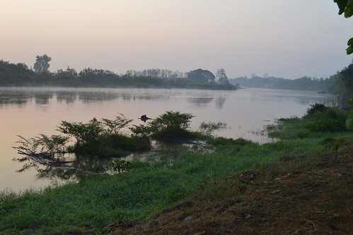
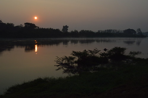
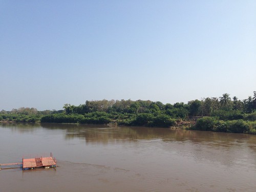
Elevation map of Uttaradit, Thailand
Location: Thailand >
Longitude: 100.099294
Latitude: 17.6200886
Elevation: 69m / 226feet
Barometric Pressure: 100KPa
Related Photos:
Topographic Map of Uttaradit, Thailand
Find elevation by address:

Places in Uttaradit, Thailand:
Nam Pat District
Sirikit Dam
Fak Tha District
Ban Khok District
Phichai District
Laplae District
Thong Saen Khan District
Places near Uttaradit, Thailand:
District Uttaradit
Uttaradit Provincial Hall
Laplae District
Tron District Agriculture Office
Thong Saen Khan District
Phichai District
Sirikit Dam
Na Chak
Mueang Phrae District
Phrae
Phrom Phiram District
Wat Bot District
Pa Daeng
ที่ว่าการอำเภอพรหมพิราม
Phrom Phiram
ที่ว่าการอำเภอชาติตระการ
Wat Bot
Chat Trakan District
Soi Yan Yao 4/1 Mu 3 - Soi Yan Yao 3/1 Mu 3
Nam Rat
Recent Searches:
- Elevation of Corso Fratelli Cairoli, 35, Macerata MC, Italy
- Elevation of Tallevast Rd, Sarasota, FL, USA
- Elevation of 4th St E, Sonoma, CA, USA
- Elevation of Black Hollow Rd, Pennsdale, PA, USA
- Elevation of Oakland Ave, Williamsport, PA, USA
- Elevation of Pedrógão Grande, Portugal
- Elevation of Klee Dr, Martinsburg, WV, USA
- Elevation of Via Roma, Pieranica CR, Italy
- Elevation of Tavkvetili Mountain, Georgia
- Elevation of Hartfords Bluff Cir, Mt Pleasant, SC, USA
