Elevation map of Uthukela DC, South Africa
Location: South Africa > Kwazulu-natal >
Longitude: 29.6035495
Latitude: -28.678344
Elevation: 1021m / 3350feet
Barometric Pressure: 90KPa
Elevation Map:
Satellite Map:
Related Photos:
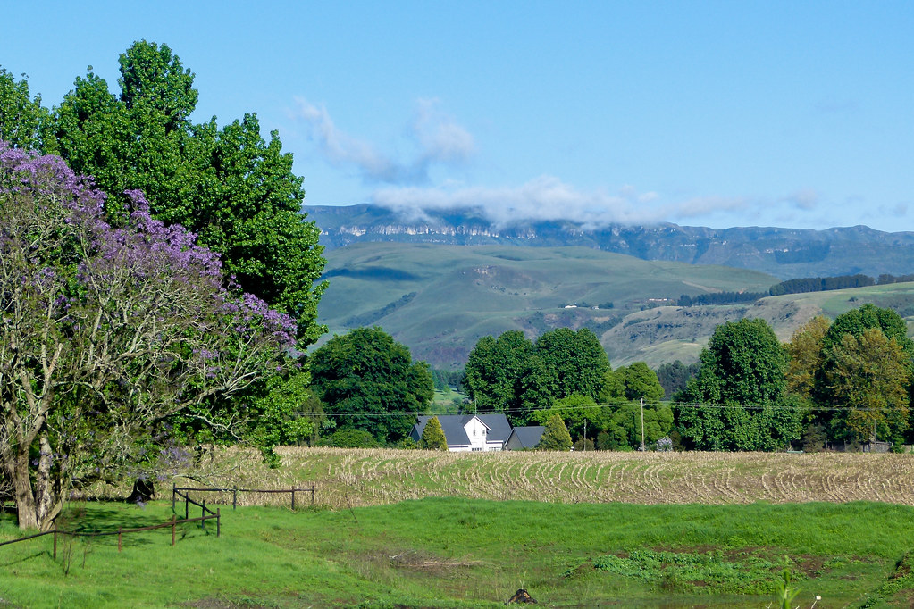
View from Ardmore Guest Farm
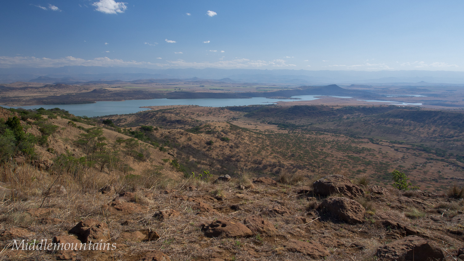
Spioenkop Nature Reserve
IMG_1317.jpg
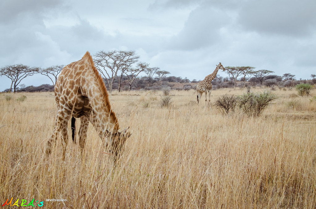
PA140323.jpg
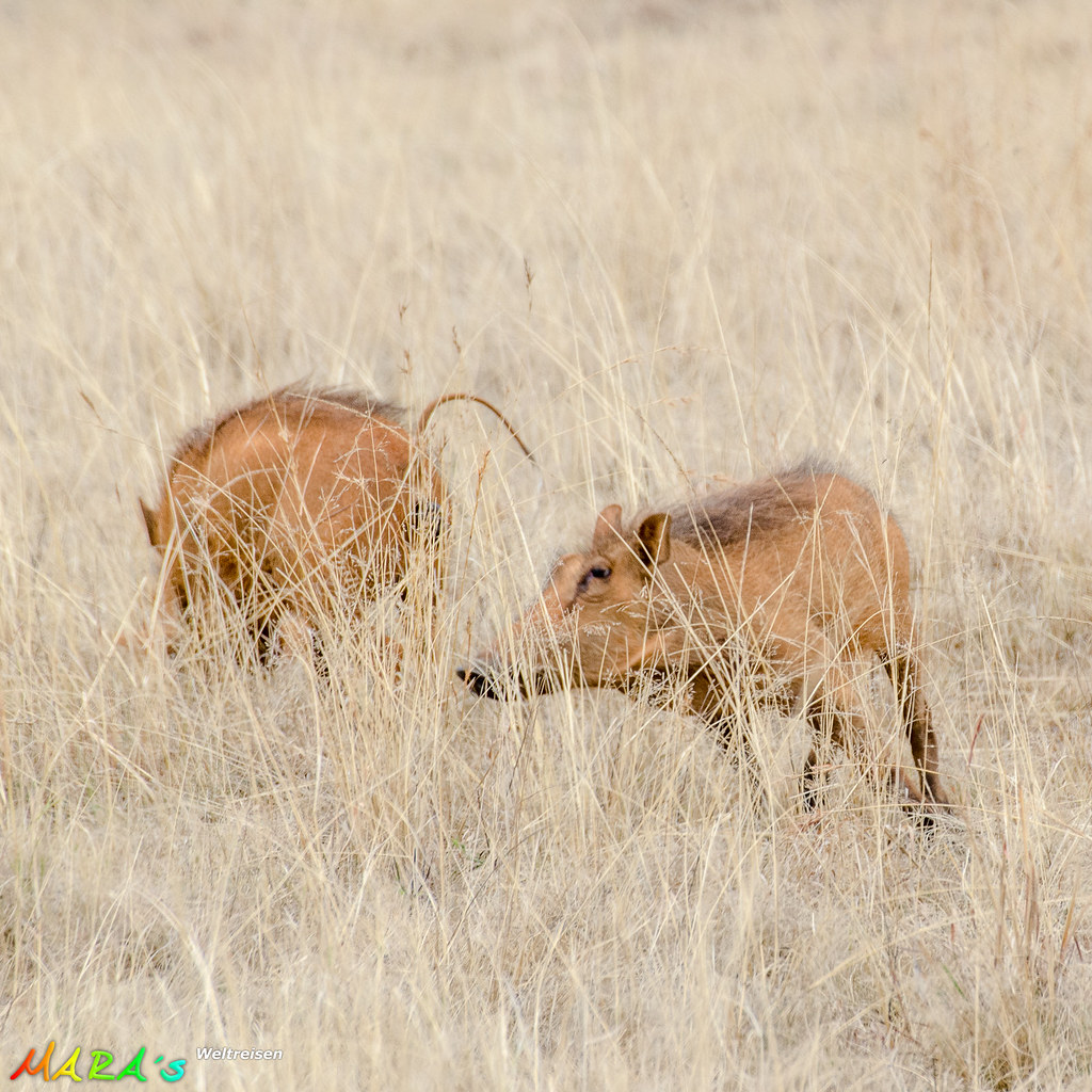
Common Warthog

Chain snapped
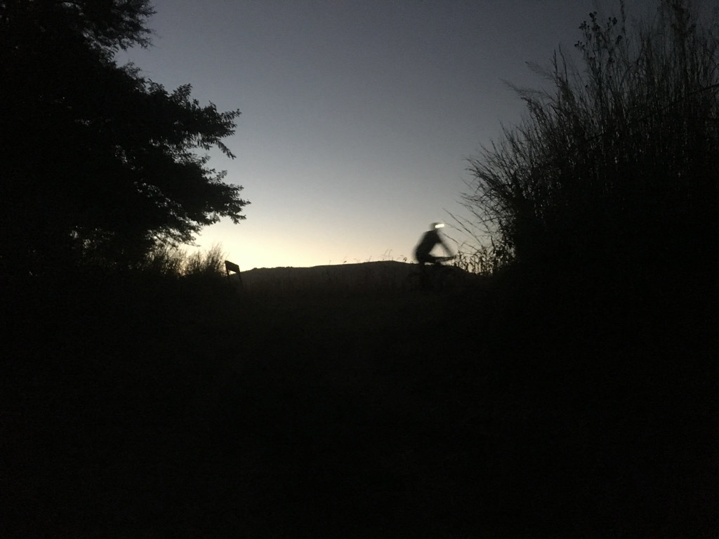
Camping out

High-fives from Winterton school kids

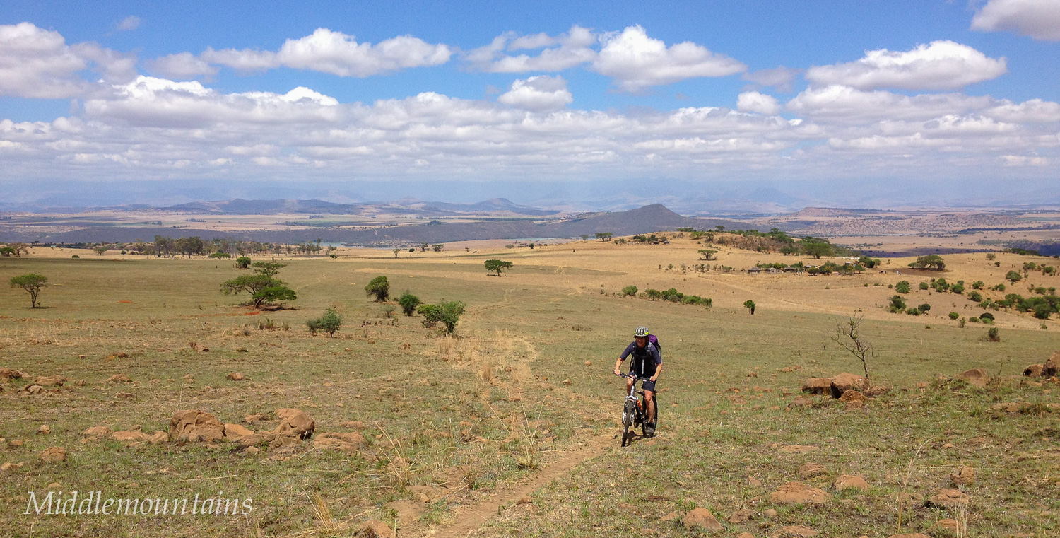
Garmin GPS devices are obligatory

Joberg2c route profile stickers
Topographic Map of Uthukela DC, South Africa
Find elevation by address:

Places in Uthukela DC, South Africa:
Places near Uthukela DC, South Africa:
Ladysmith
Ladysmith
Blue Haze Country Lodge & Conference Centre
Estcourt
Kamberg Valley Hideaway
Mooi River
Maloti-drakensberg Park
Mpofana Local Municipality
Dumbe
Nottingham Road
Dundee
Cwaka Clinic - T B Clinic
Curry's Post
Cwaka
Howick
Howick
Karkloof Road
32 Karkloof Rd
Midmar Water Treatment Works
(south) Umzinyathi Dc
Recent Searches:
- Elevation of Corso Fratelli Cairoli, 35, Macerata MC, Italy
- Elevation of Tallevast Rd, Sarasota, FL, USA
- Elevation of 4th St E, Sonoma, CA, USA
- Elevation of Black Hollow Rd, Pennsdale, PA, USA
- Elevation of Oakland Ave, Williamsport, PA, USA
- Elevation of Pedrógão Grande, Portugal
- Elevation of Klee Dr, Martinsburg, WV, USA
- Elevation of Via Roma, Pieranica CR, Italy
- Elevation of Tavkvetili Mountain, Georgia
- Elevation of Hartfords Bluff Cir, Mt Pleasant, SC, USA