Elevation of Utah 12, UT-12, Utah, USA
Location: United States > Utah > Garfield County >
Longitude: -111.32851
Latitude: 38.1284057
Elevation: 2689m / 8822feet
Barometric Pressure: 73KPa
Elevation Map:
Satellite Map:
Related Photos:
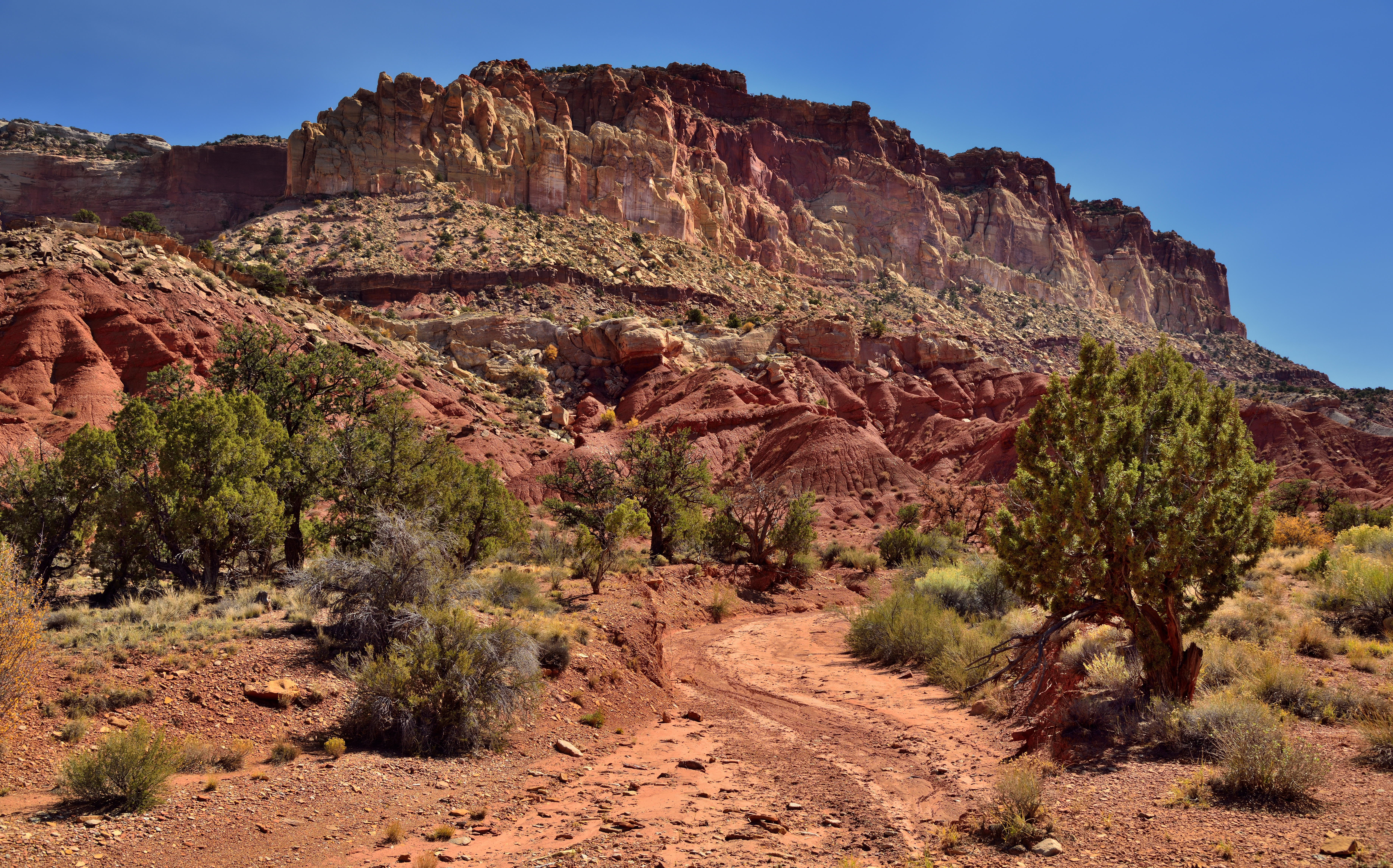
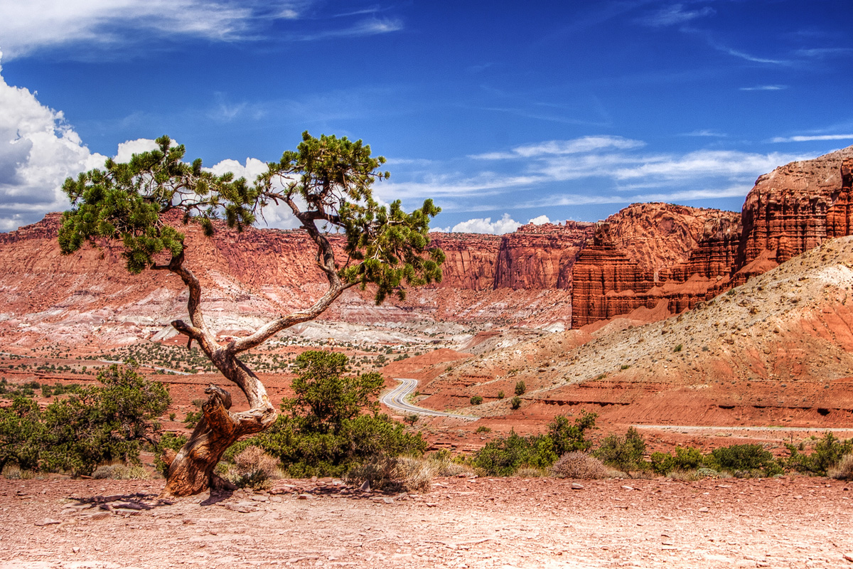
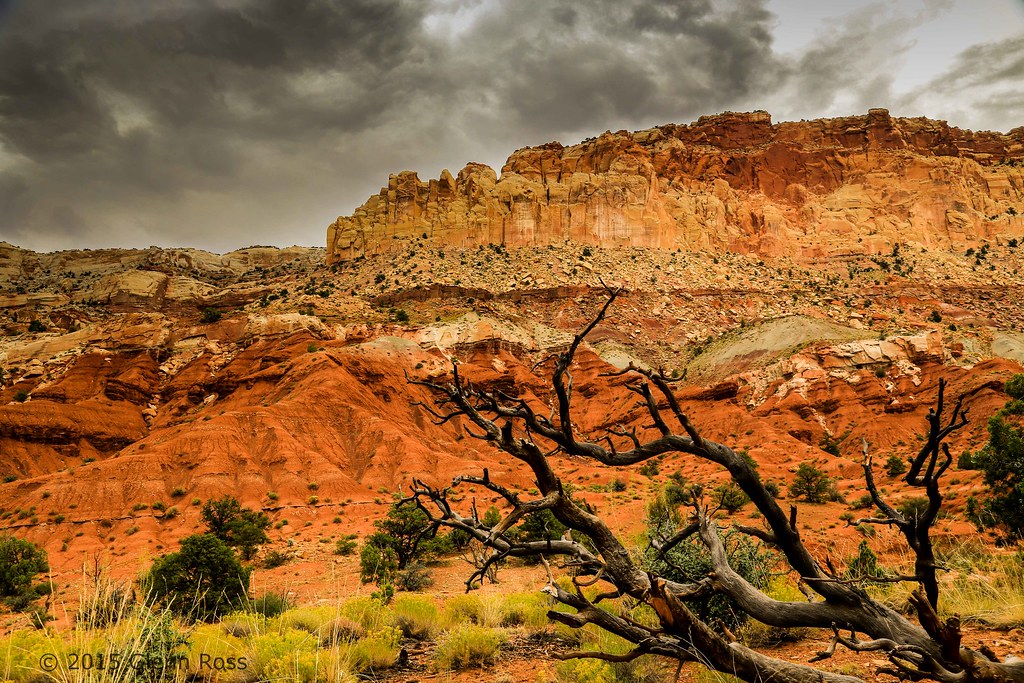
A Roadside Snapshot in Capitol Reef National Park
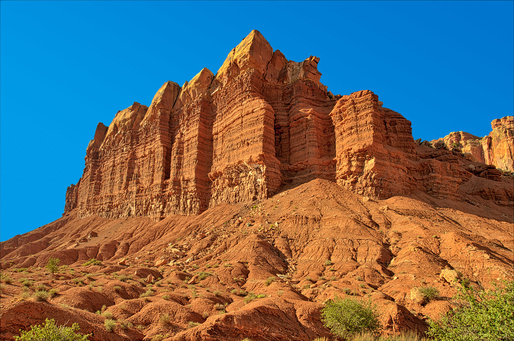
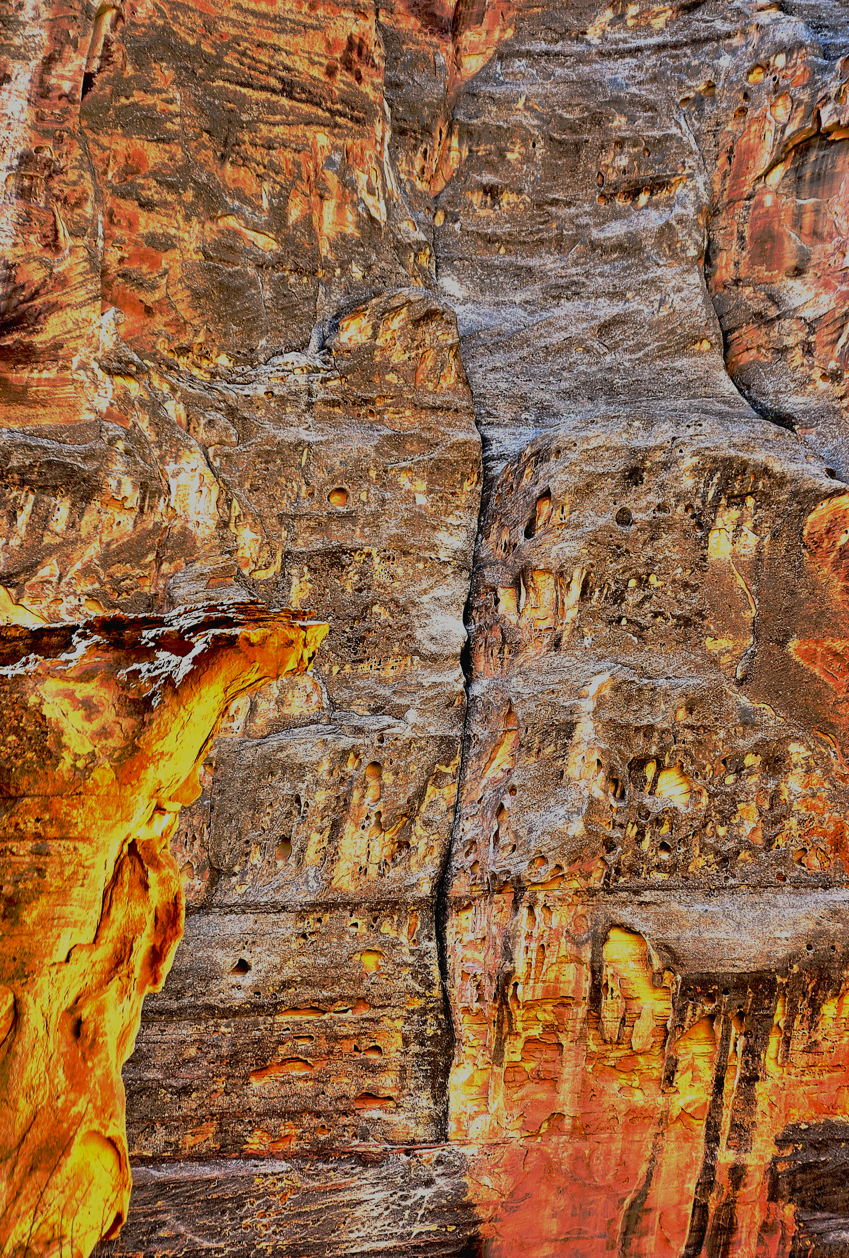
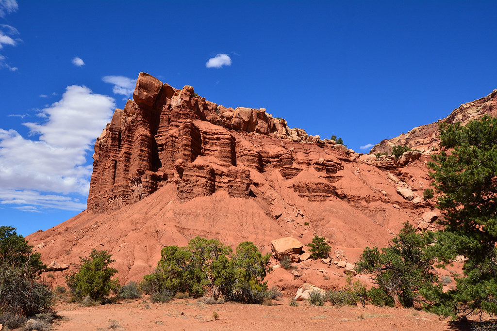
Afternoon at the Egyptian Temple
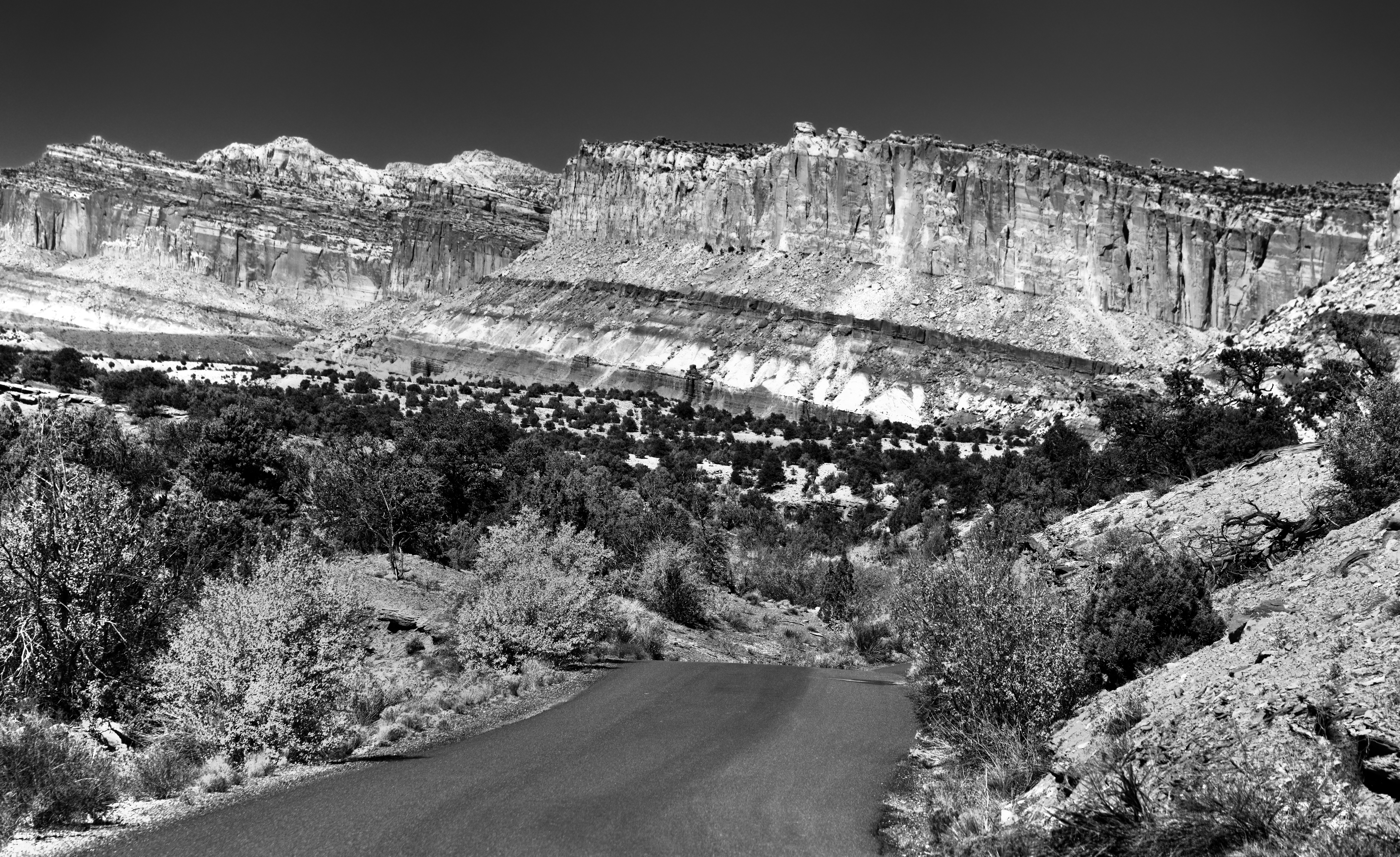
A Panoramic View to the Waterpocket Fold in Capitol Reef National Park (Black & White)
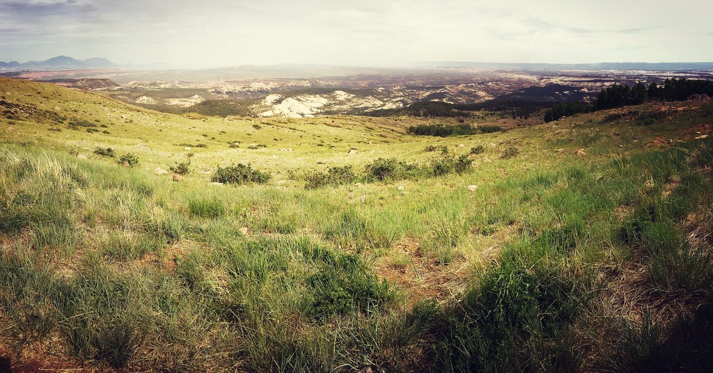
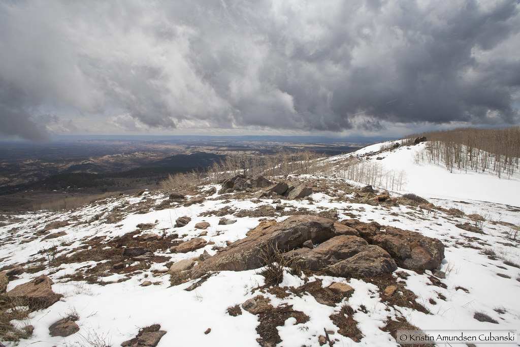
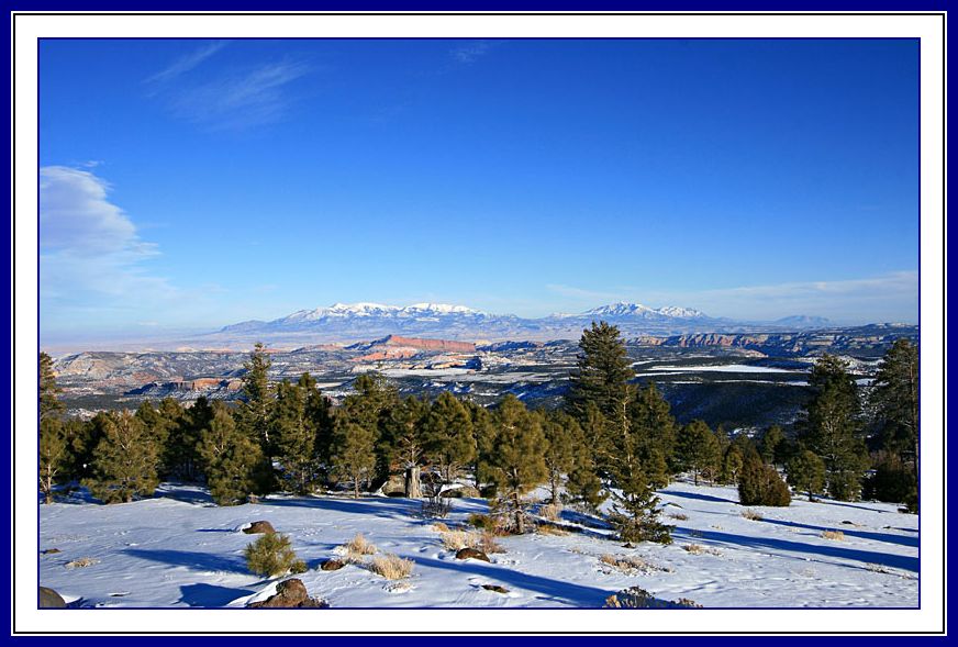
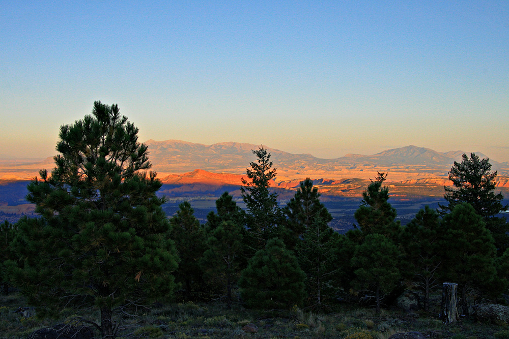
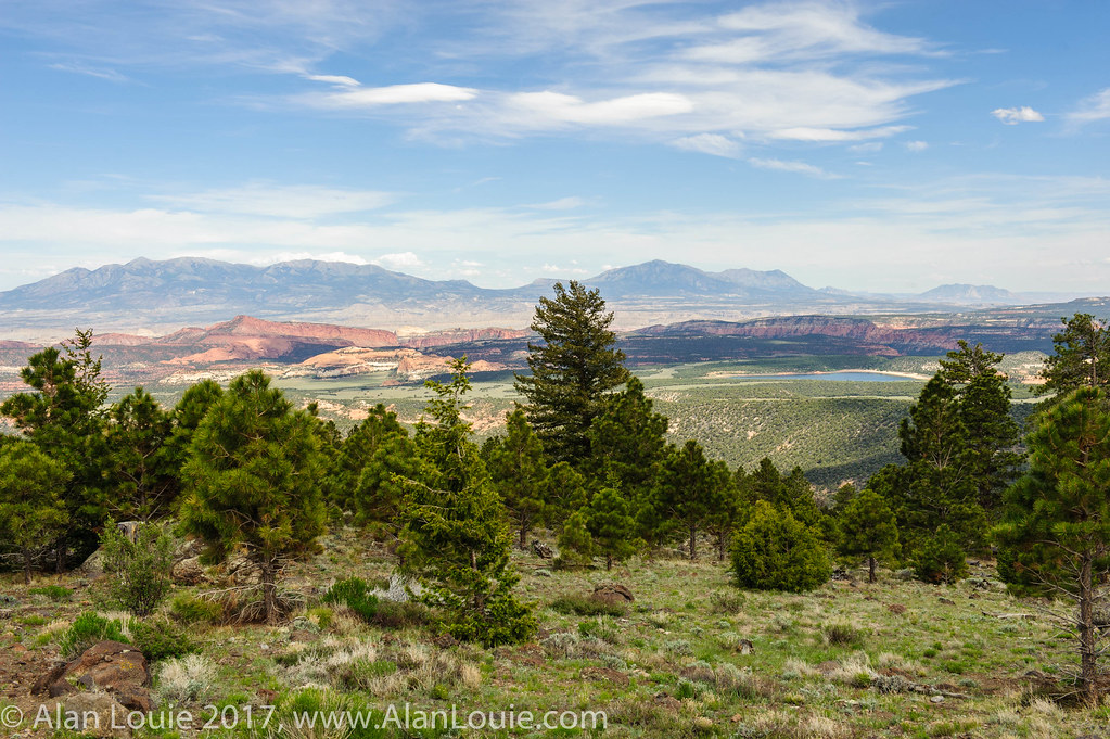
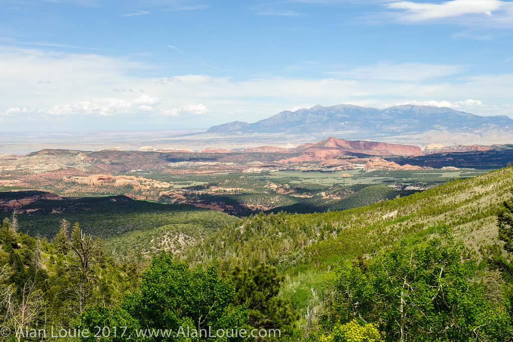
the view from Boulder Mtn -- looking out across Grand Staircase-Escalante NM
Dixie National Forest
View of Canyonlands from Hwy 12
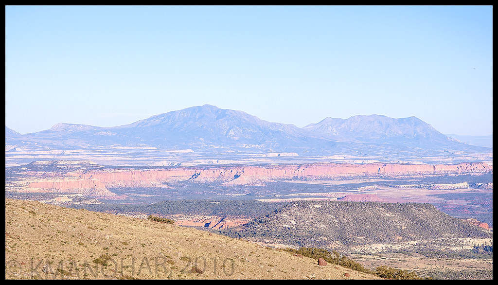
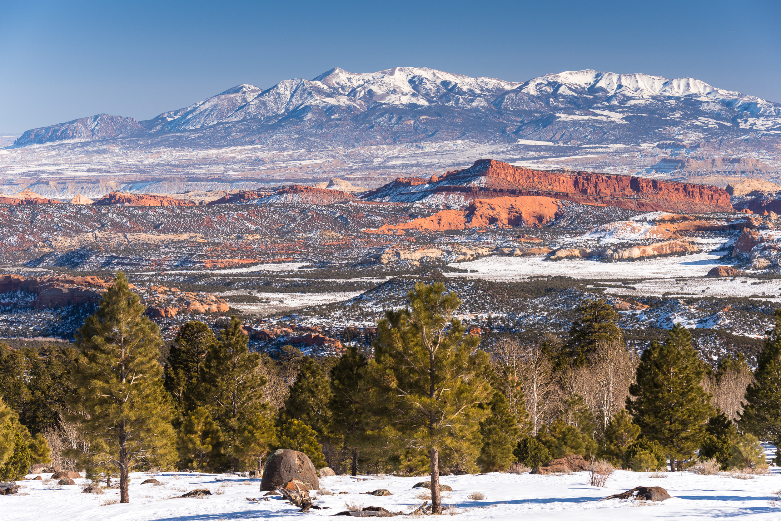
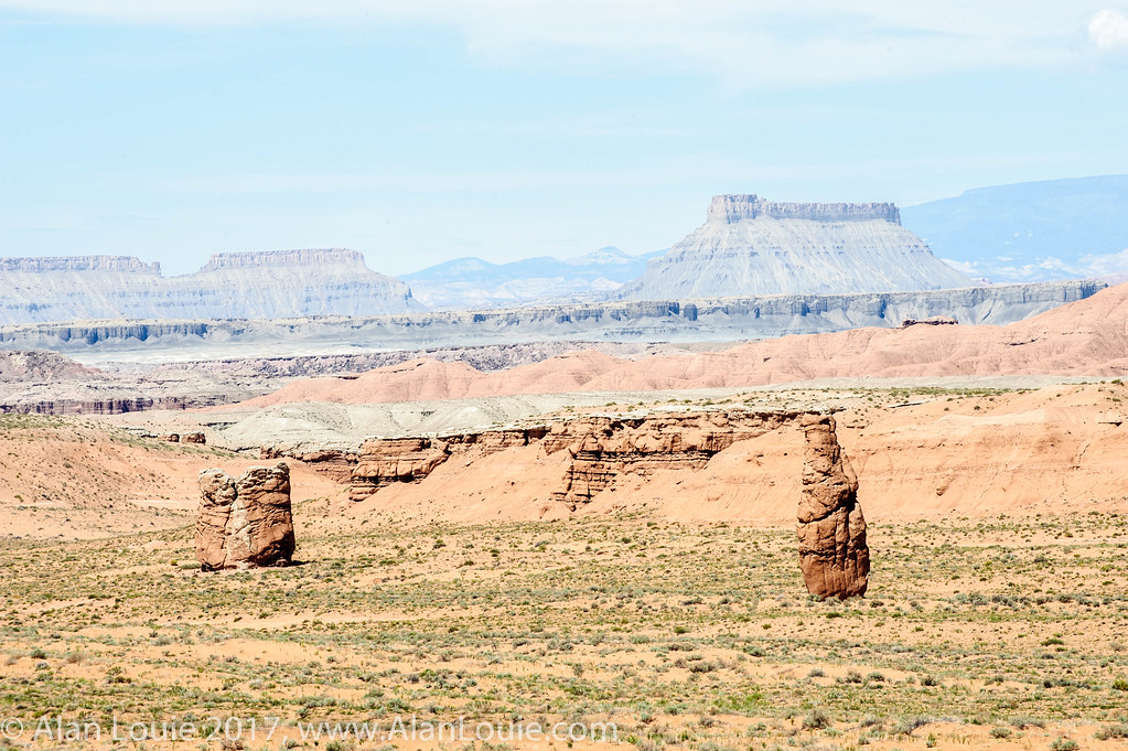
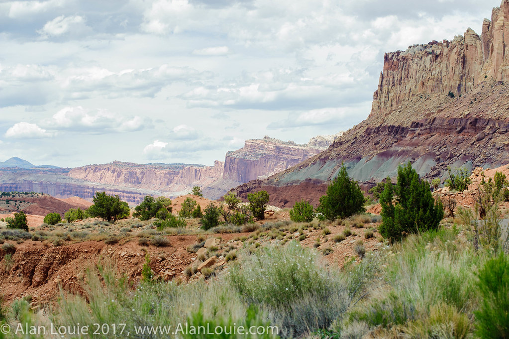
Henry Mountains, Waterpocket Fold and Circle Cliffs of Utah
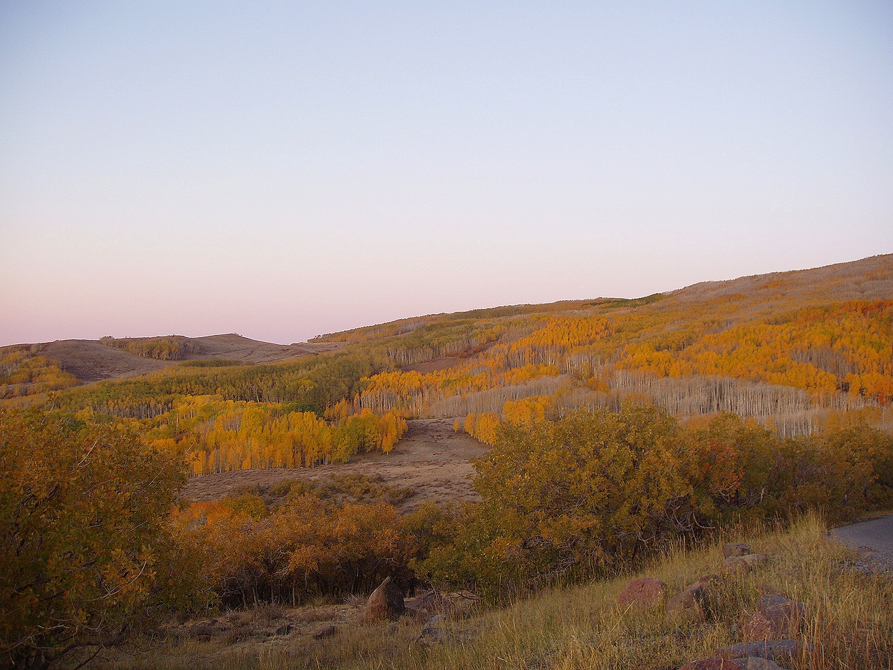
Sunrise on Boulder Mountain, Dixie National Forest, Scenic Highway 12, Utah
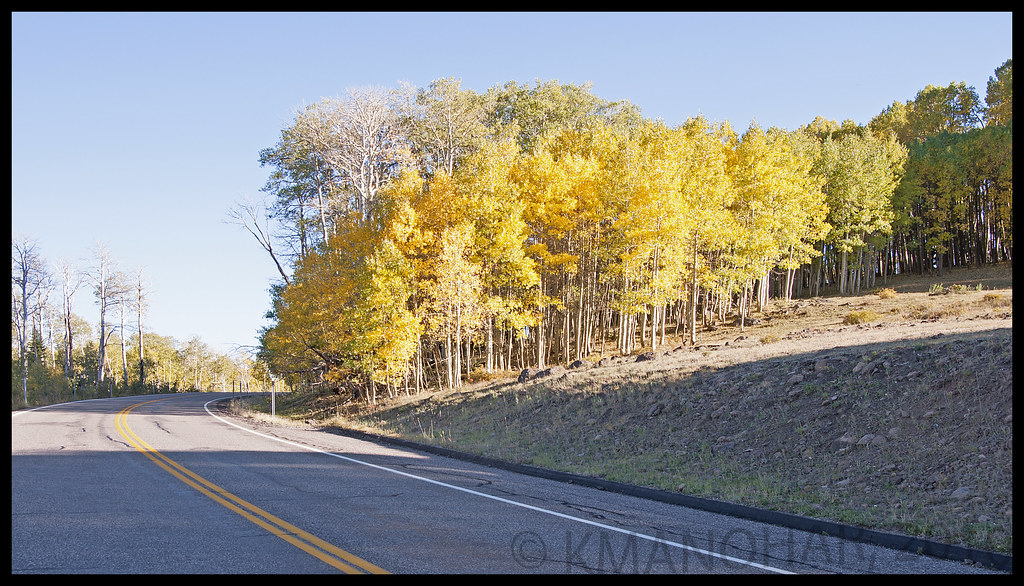
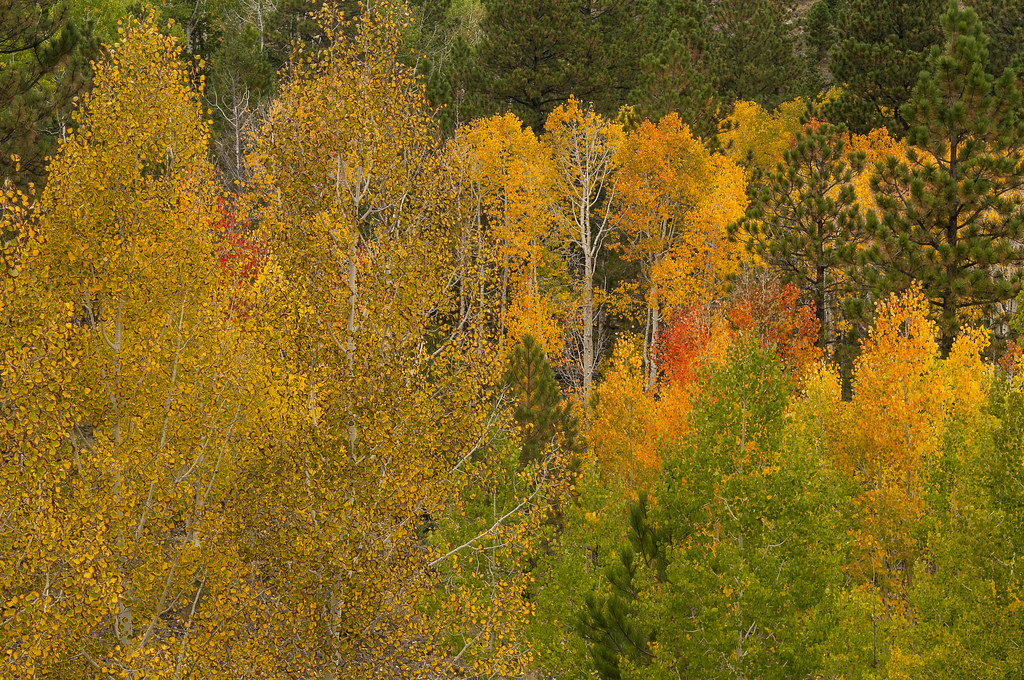
Fall Colors on Boulder Mountain, Utah

Scenic Escalante River Valley

5 June 12 Aspen and Escalante
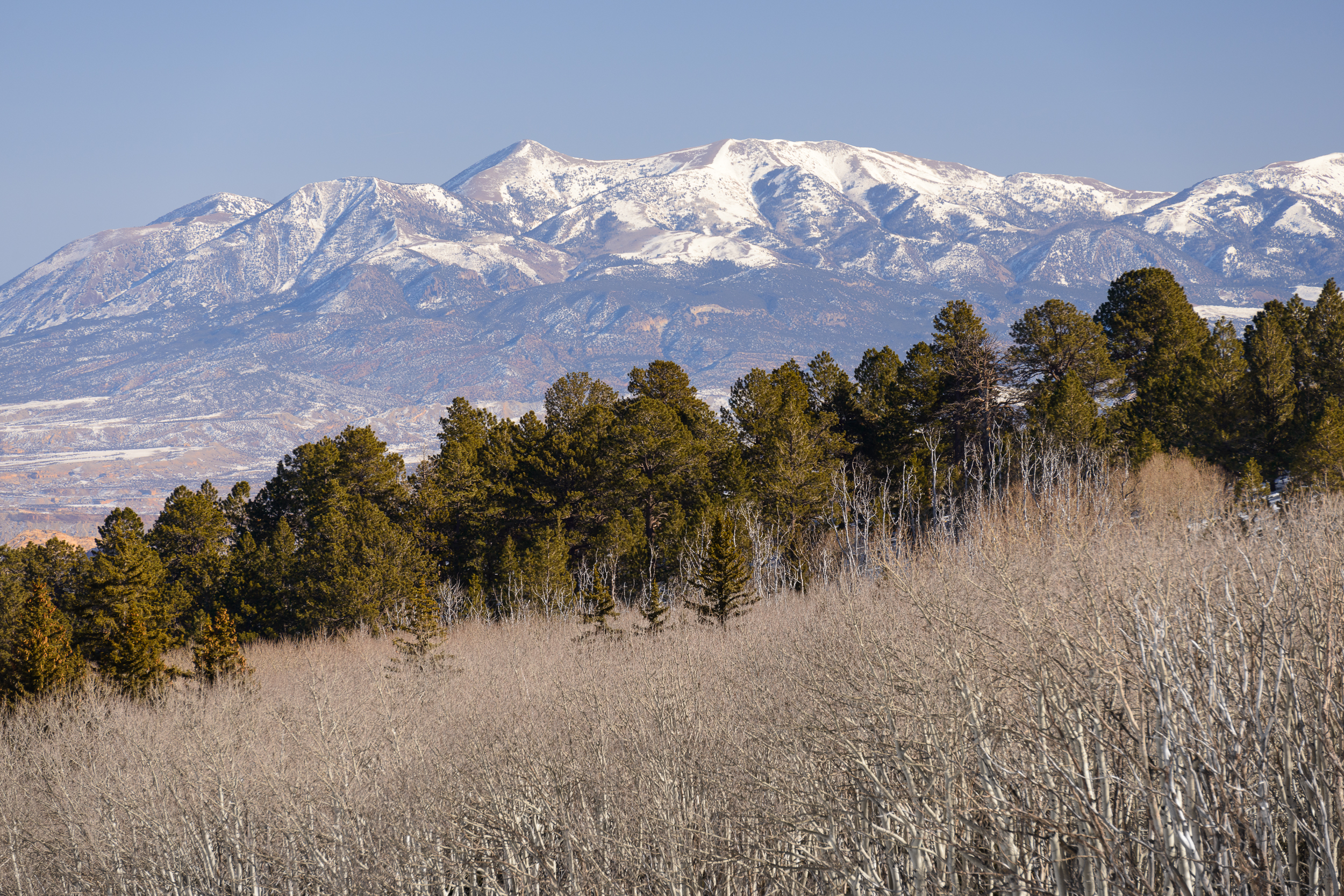
Henry Mountains
time study #1
A Panoramic View to the Waterpocket Fold in Capitol Reef National Park
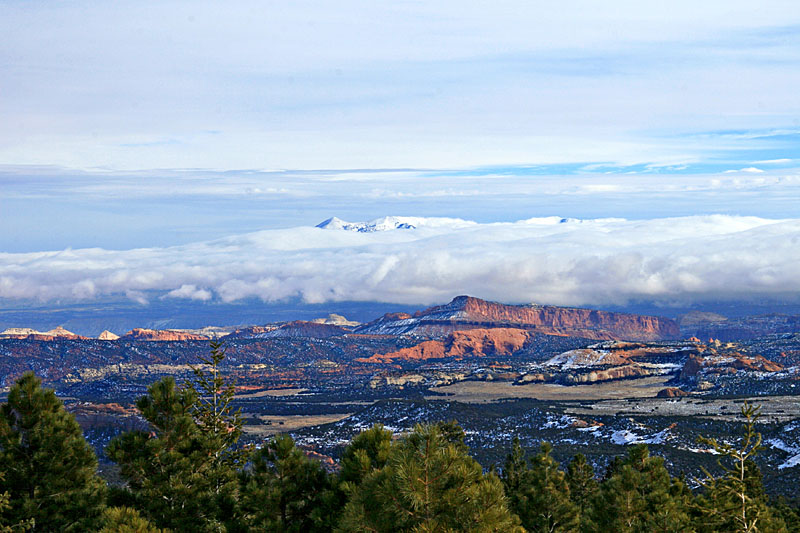
Henry Mountains from Larb Hollow
in the gallery
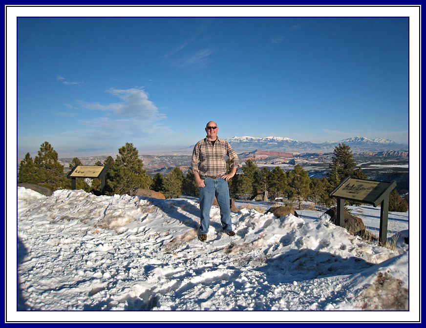
Bob Palin at Larb Hollow
Waterpocket Fold
2013-02-20_15-01-43_283

Waterpocket Fold
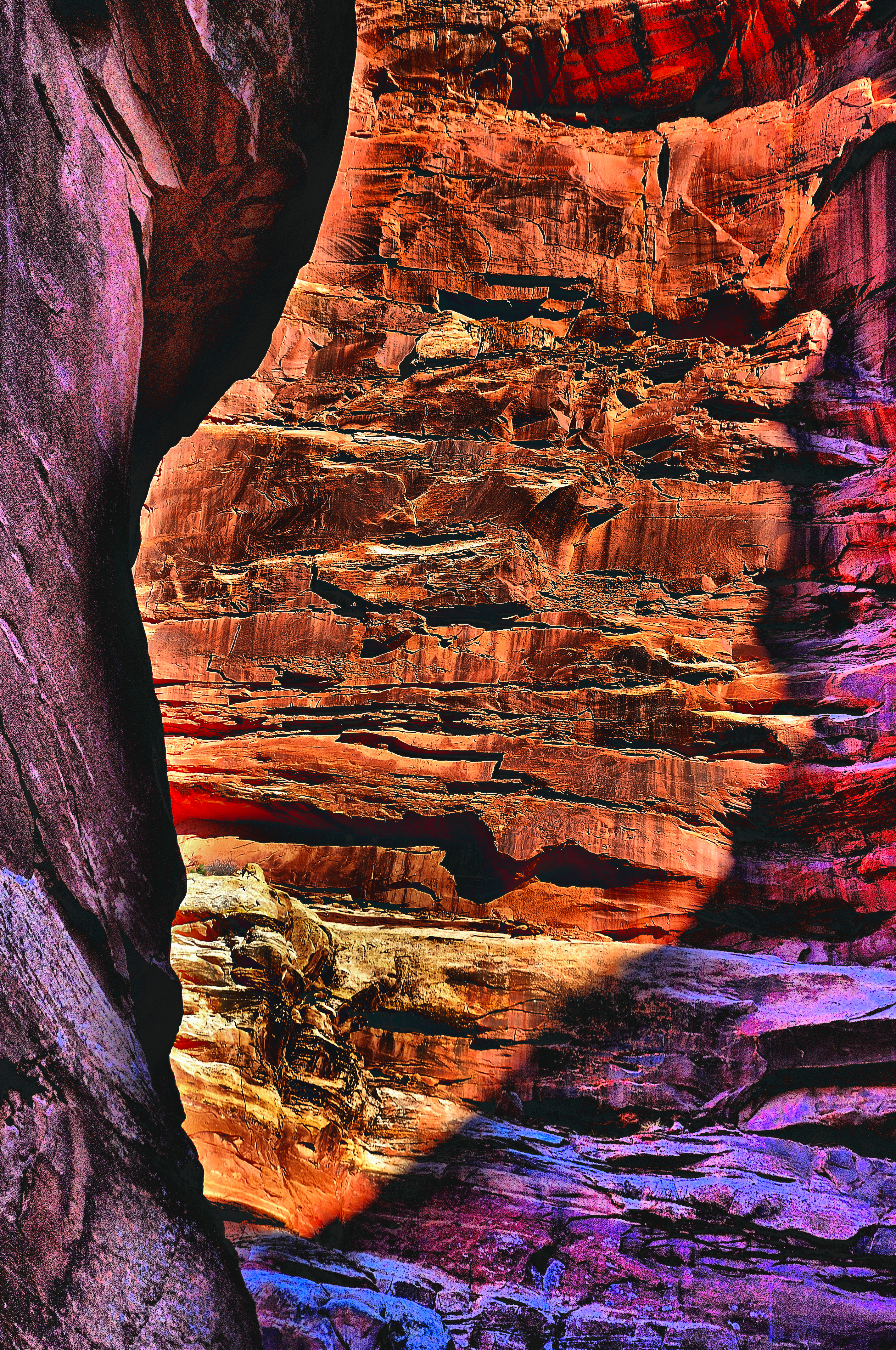
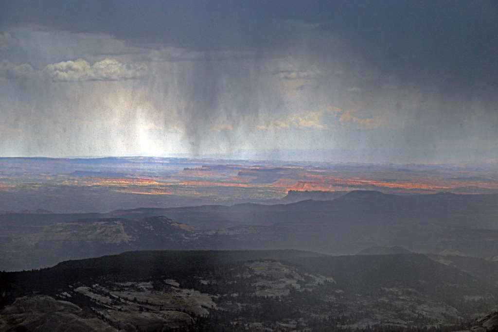
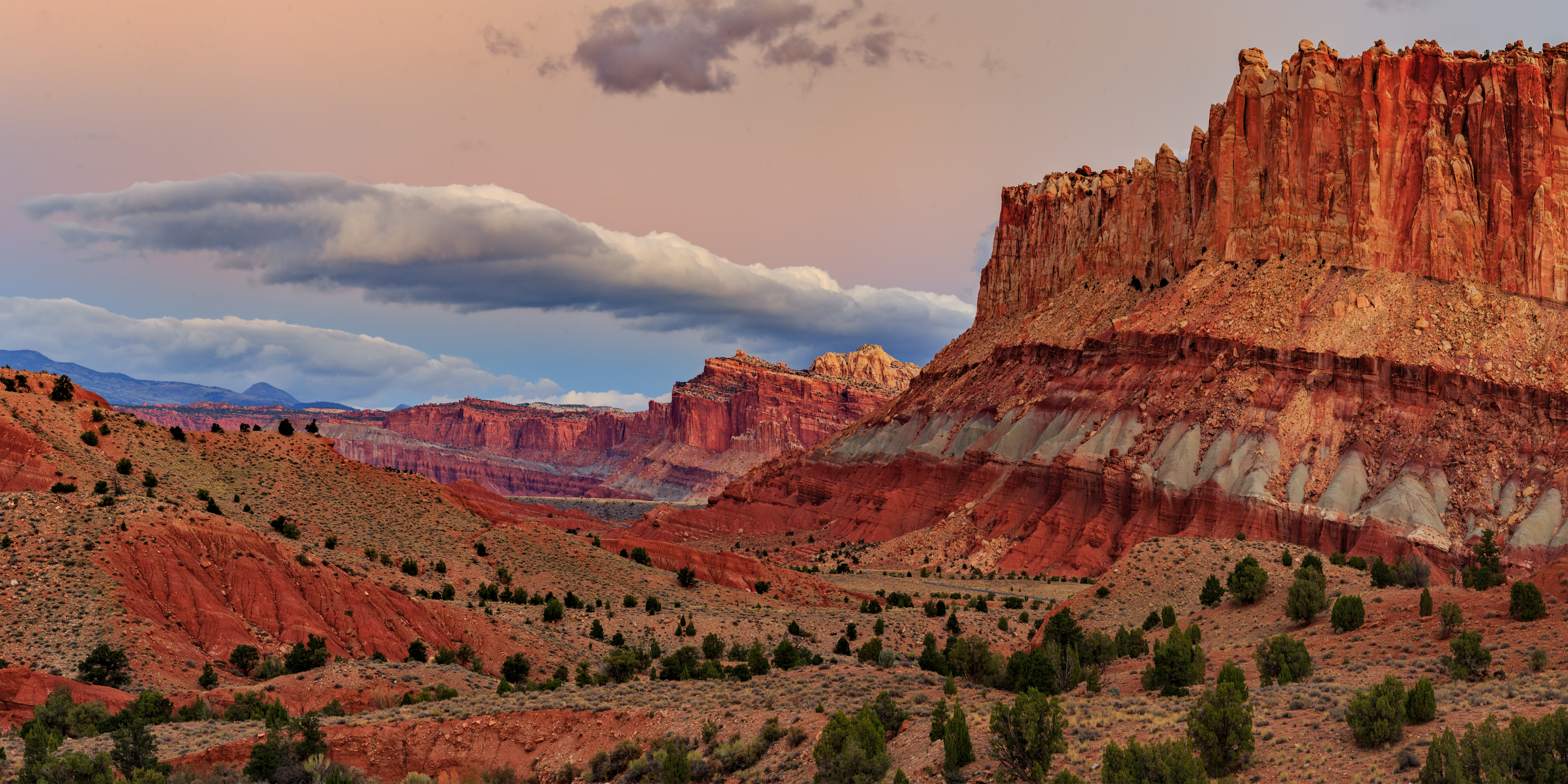
Shadows Creeping Across The Reef

Et 'Reef', ça veut dire 'Corail'.

Et puis hop là ! encore une, et vous êtes dans les montagnes sèches.

et pas n'importe lesquelles : voilà Capitol Reef.
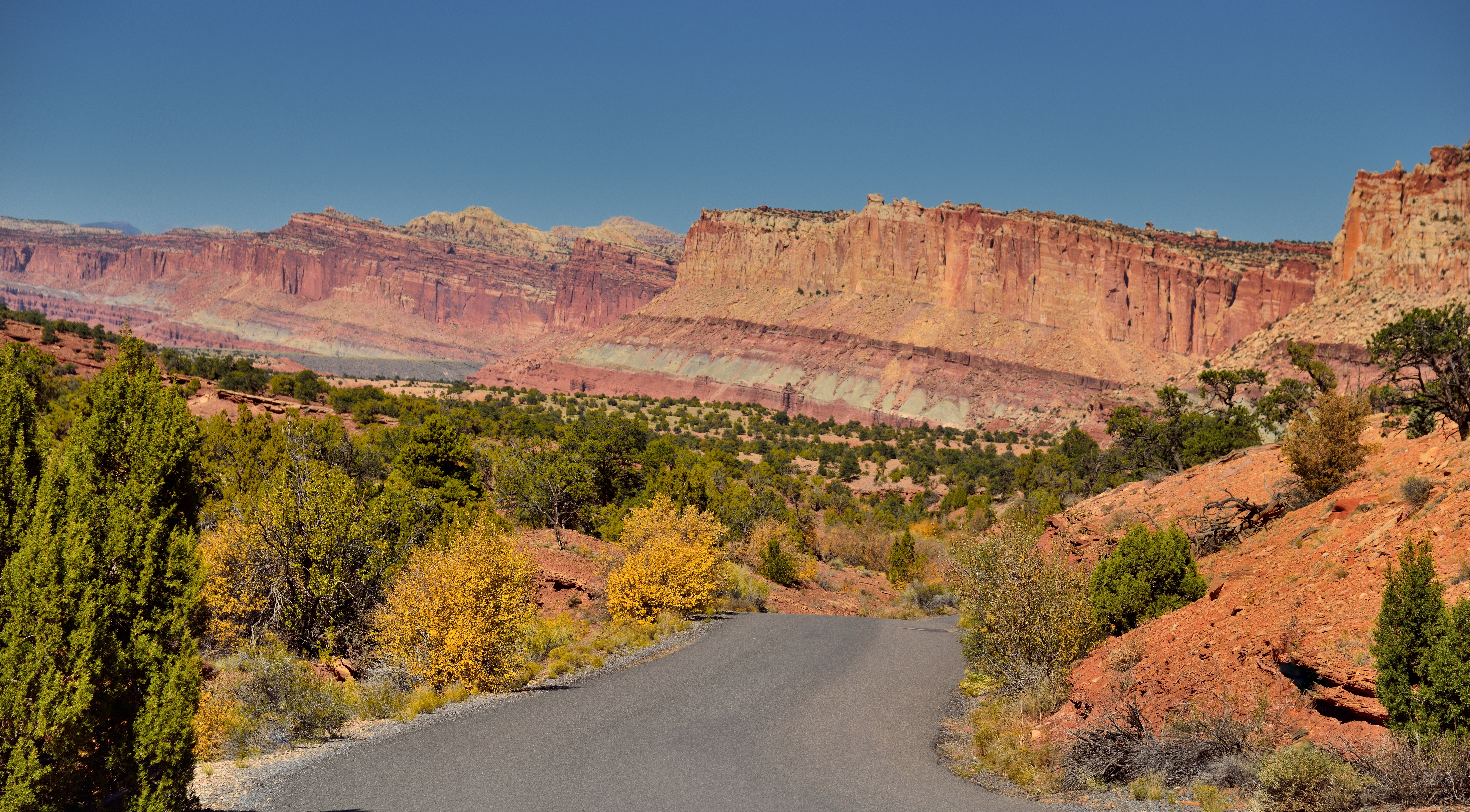
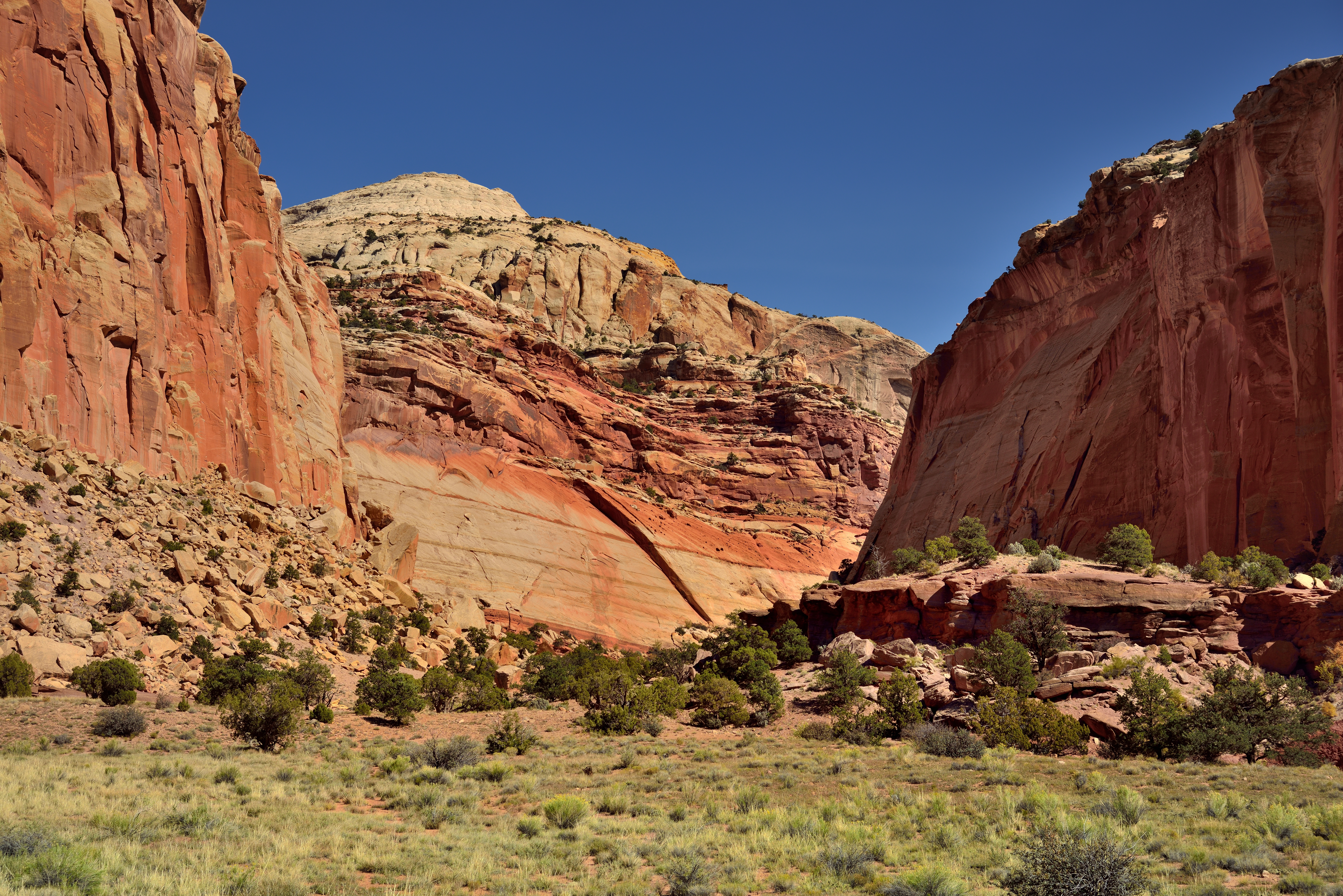
Capitol Reef National Park: scenic drive, Utah, USA
May Weather Won Again, 3 May 2015
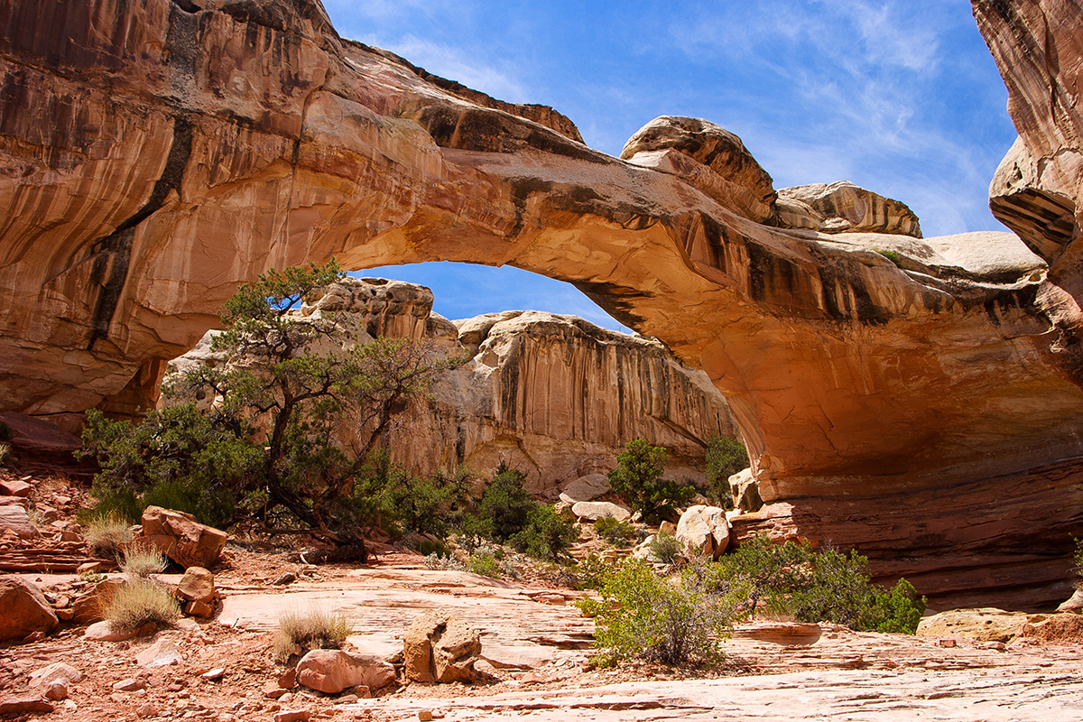
Hickman Bridge
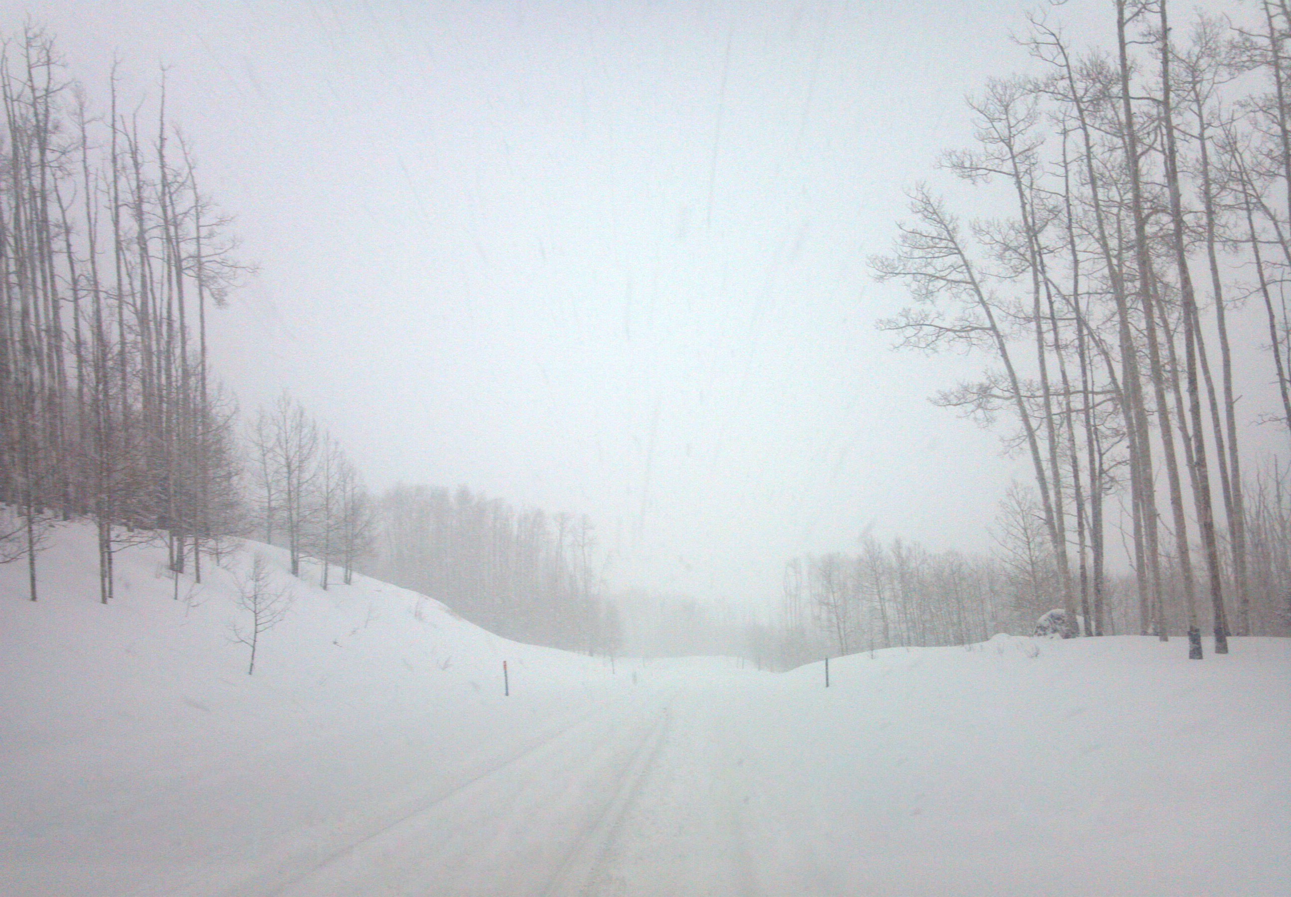
Lonely Road
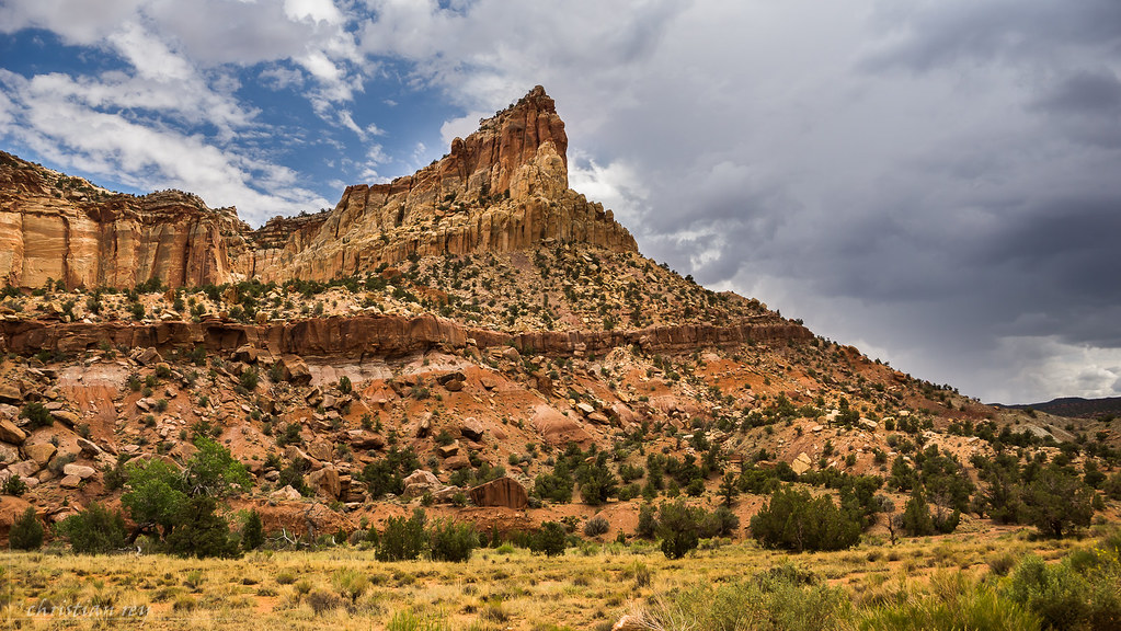
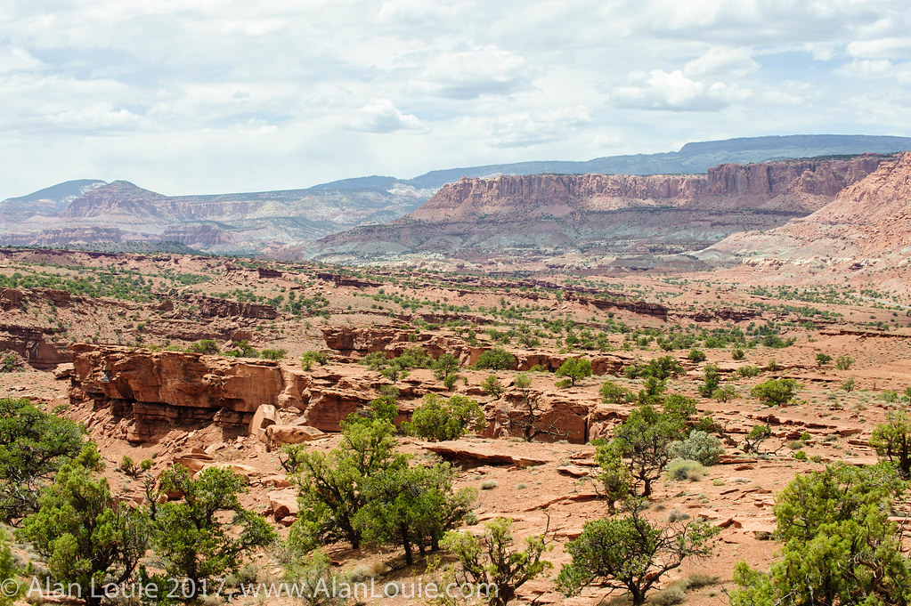
Vertical and Horizontal Layers of Rock (Capitol Reef National Park)
Capitol Reef National Park Panorama (10-29-16)
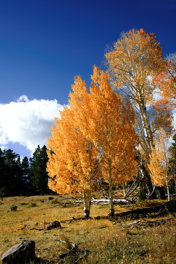
Golden Aspen
20090603 Scenic Utah 12 009.jpg
Looking east on Highway 12
20090603 Scenic Utah 12 017.jpg
20090603 Capitol Reef 005.jpg
20090603 Scenic Utah 12 012.jpg
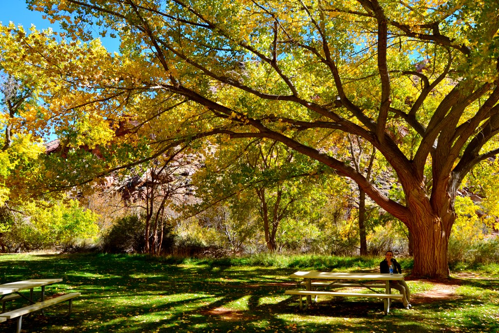
Pic-nic in Capitol Reef

Ca se couvre, on dirait, non ?
20090603 Capitol Reef 049.jpg
Capitol Reef -2466
Utah - Capitol Reef National Park
20090603 Capitol Reef 036.jpg
Topographic Map of Utah 12, UT-12, Utah, USA
Find elevation by address:

Places near Utah 12, UT-12, Utah, USA:
Grover
Chriss Lake Trailhead
Scenic Drive
Capitol Reef National Park Visitor Center
Fruita
Petroglyphs
Navajo Rd, Boulder, UT, USA
7hxw+pp
Torrey
Capitol Reef National Park
12 W Main St, Torrey, UT, USA
Capitol Reef Resort
UT-24, Torrey, UT, USA
UT-24, Torrey, UT, USA
Capitol Reef
Dixie National Forest
44 W S St, Teasdale, UT, USA
Teasdale
Capitol Reef National Park
Bicknell
Recent Searches:
- Elevation of Corso Fratelli Cairoli, 35, Macerata MC, Italy
- Elevation of Tallevast Rd, Sarasota, FL, USA
- Elevation of 4th St E, Sonoma, CA, USA
- Elevation of Black Hollow Rd, Pennsdale, PA, USA
- Elevation of Oakland Ave, Williamsport, PA, USA
- Elevation of Pedrógão Grande, Portugal
- Elevation of Klee Dr, Martinsburg, WV, USA
- Elevation of Via Roma, Pieranica CR, Italy
- Elevation of Tavkvetili Mountain, Georgia
- Elevation of Hartfords Bluff Cir, Mt Pleasant, SC, USA