Elevation of Ustersbach, Germany
Location: Austria > Bavaria > Swabia >
Longitude: 10.6438357
Latitude: 48.3158123
Elevation: 490m / 1608feet
Barometric Pressure: 96KPa
Elevation Map:
Satellite Map:
Related Photos:
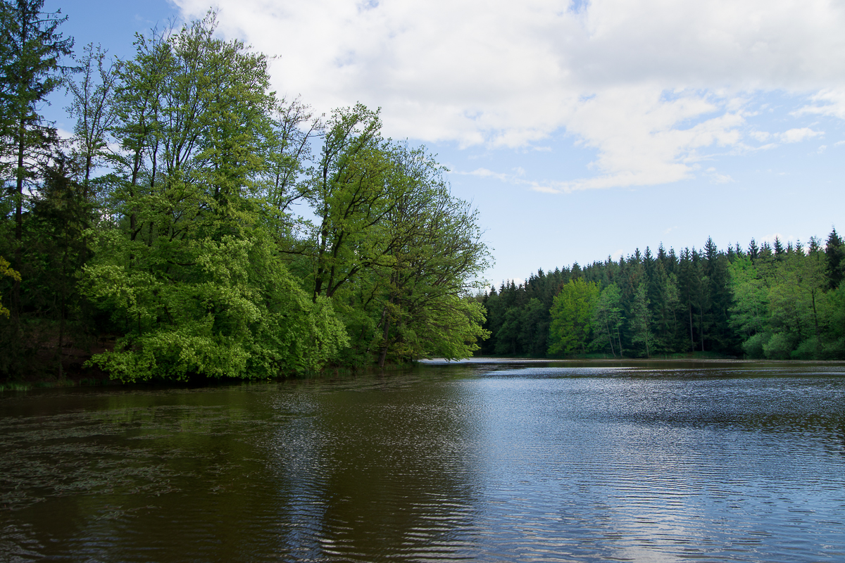
Anhauser Weiher

cheap sunglasses

Augsburg's Bismark Turm view

ICE 595 Berlin Ostbahnhof - München HBF

EC 319 Frankfurt (Main) HBF - Graz HBF

ICE 516 München HBF - Dortmund HBF

ICE 516 München HBF - Dortmund HBF
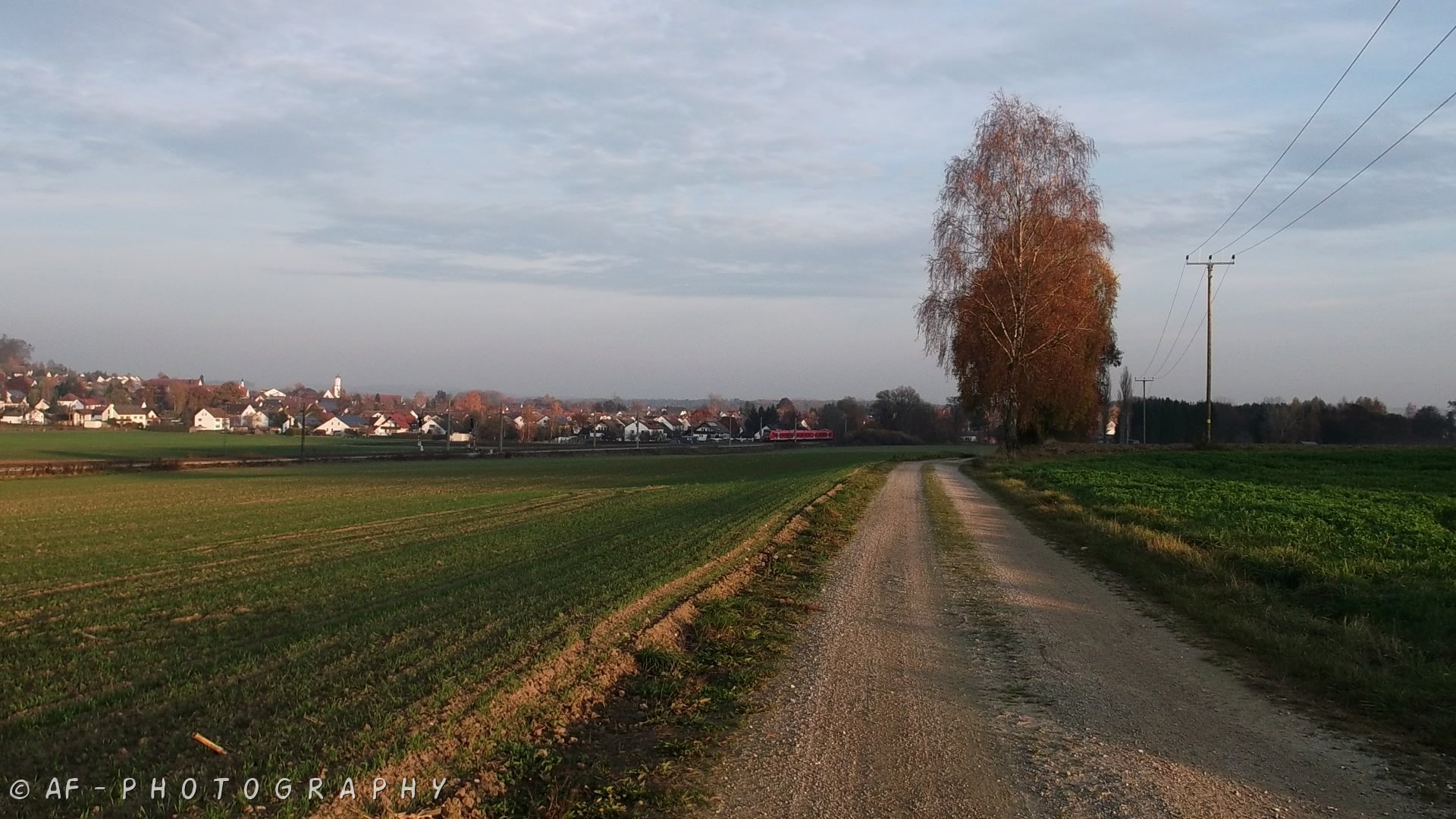
View to Dinkelscherben village

EC 319 Frankfurt (Main) HBF - Graz HBF
easter view

Haltepunkt Kutzenhausen

Daily Buddha 2008-11-16
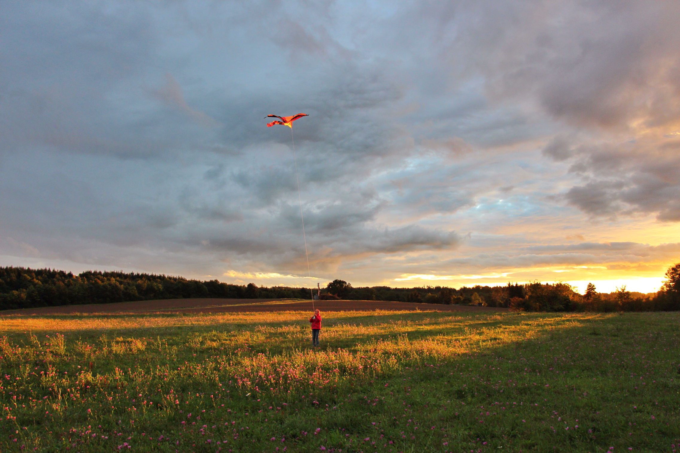
Fly to the sun
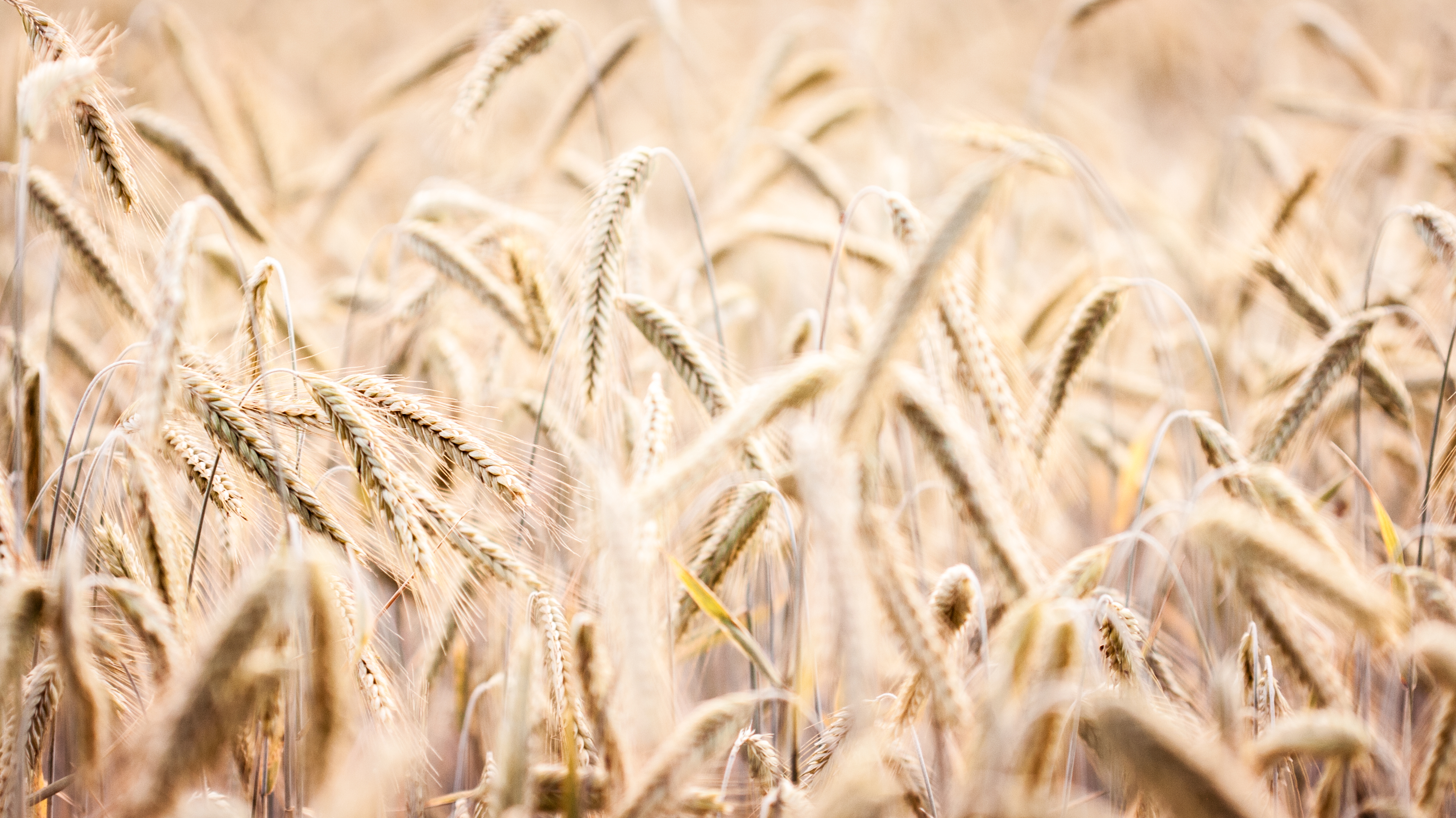
Crops IV
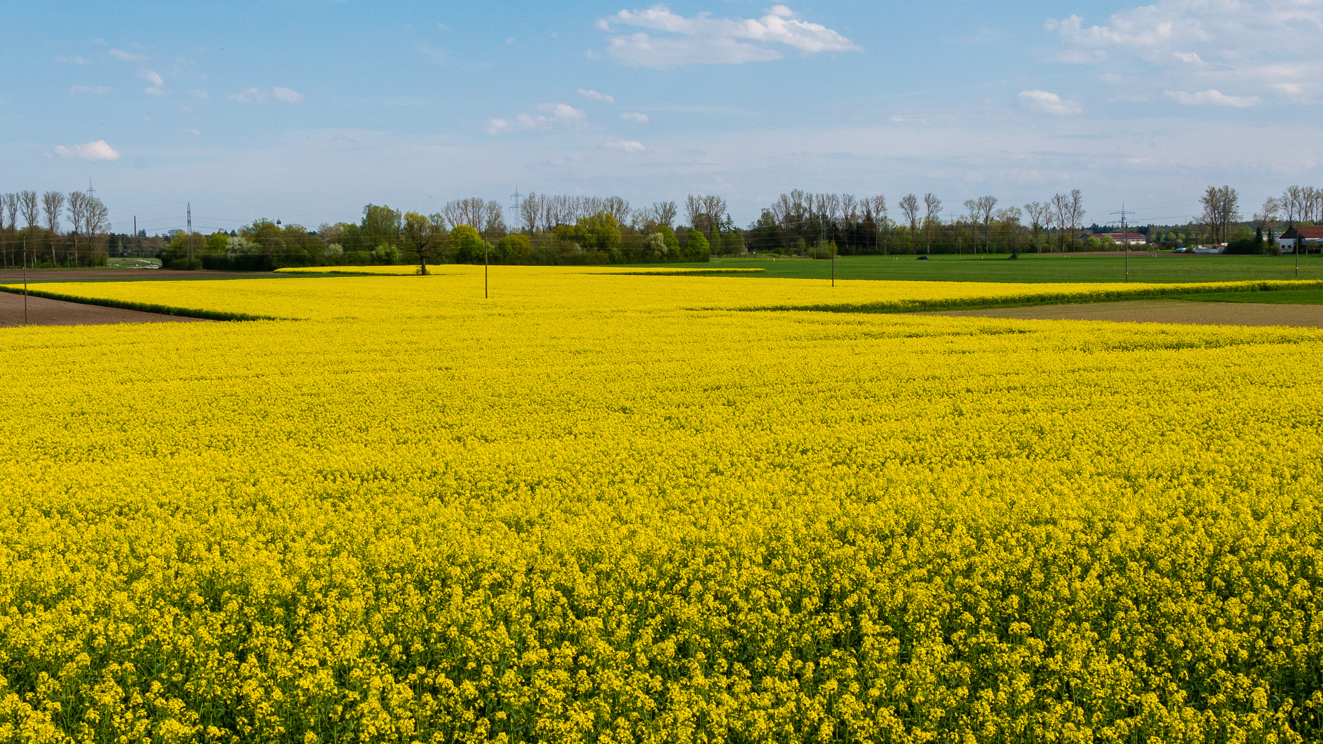
2016-04-30-001-MaMa - Wellenburg - Raps - 0019 - C00001s - W1920

Silvery sea

(Hillside Goats)

2016-04-30-001-MaMa - Wellenburg - Raps - 0004 - C00001s - W1920

Christmas forest
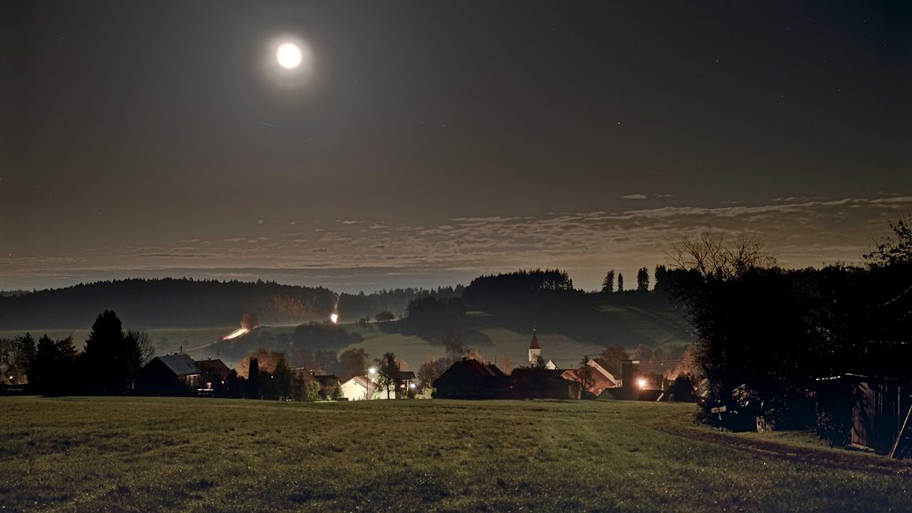
(Landscape in moon light)HDR
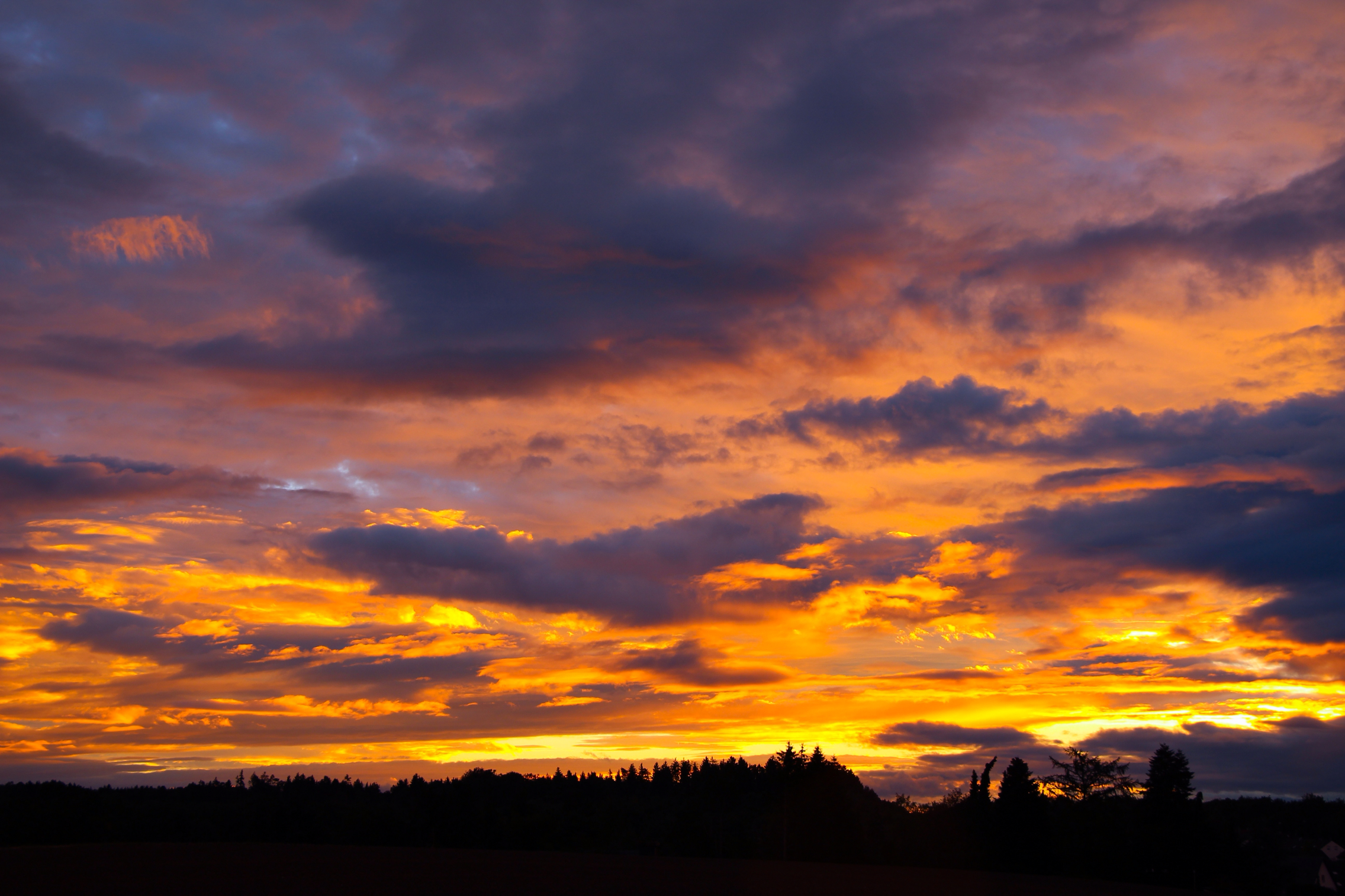
Bronze sunset
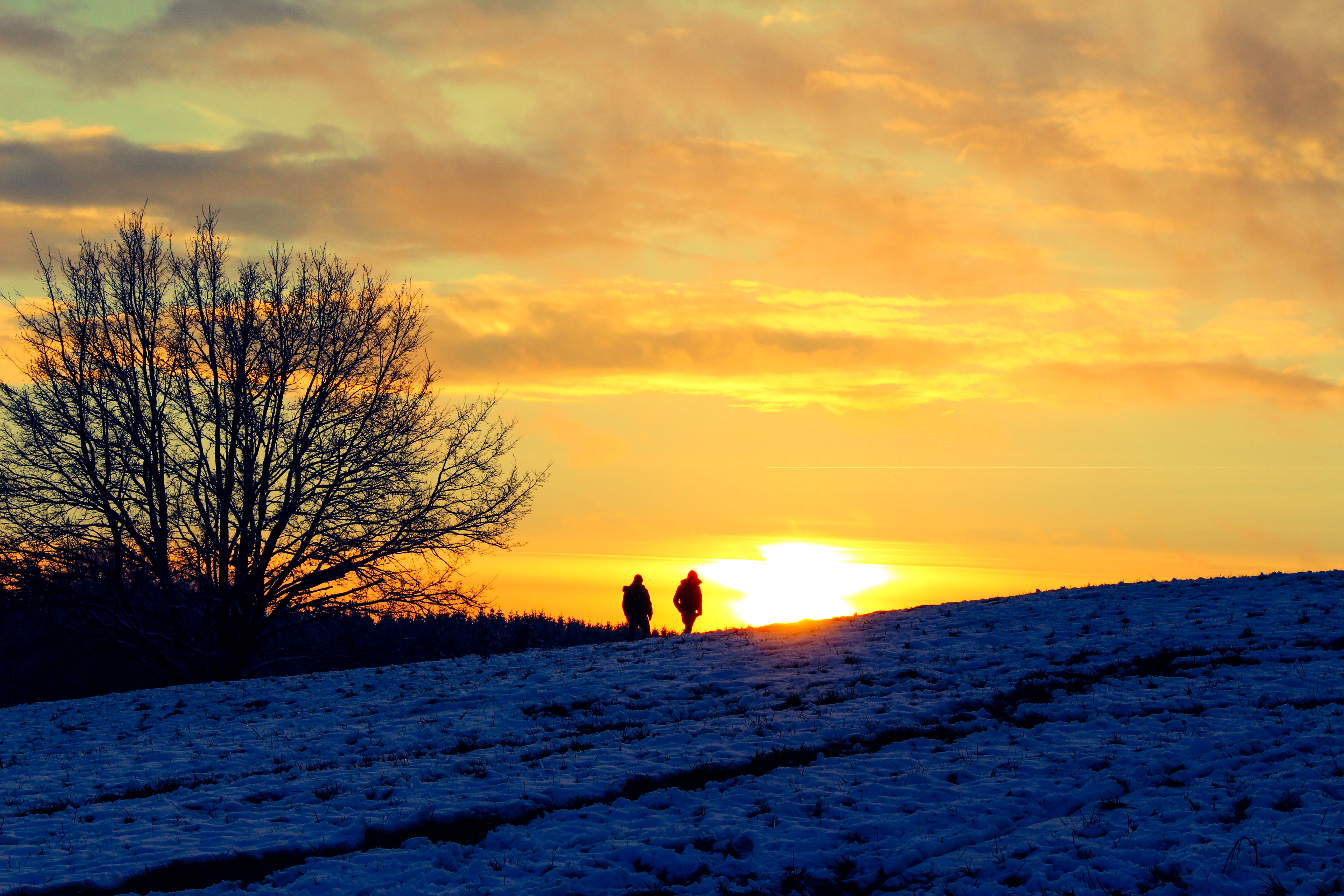
Evening walk
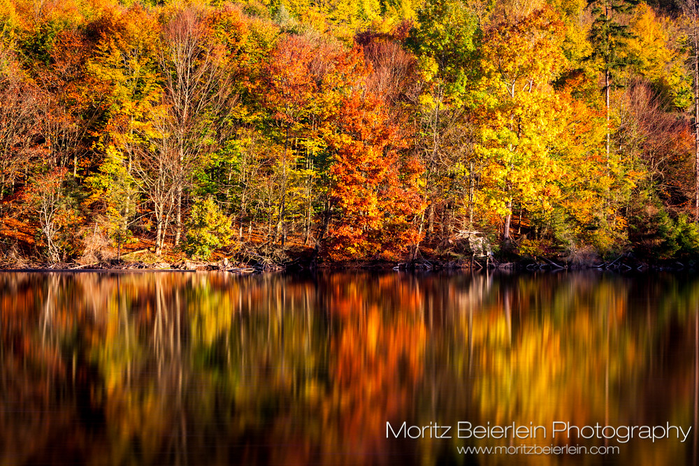
The acid side of the lake
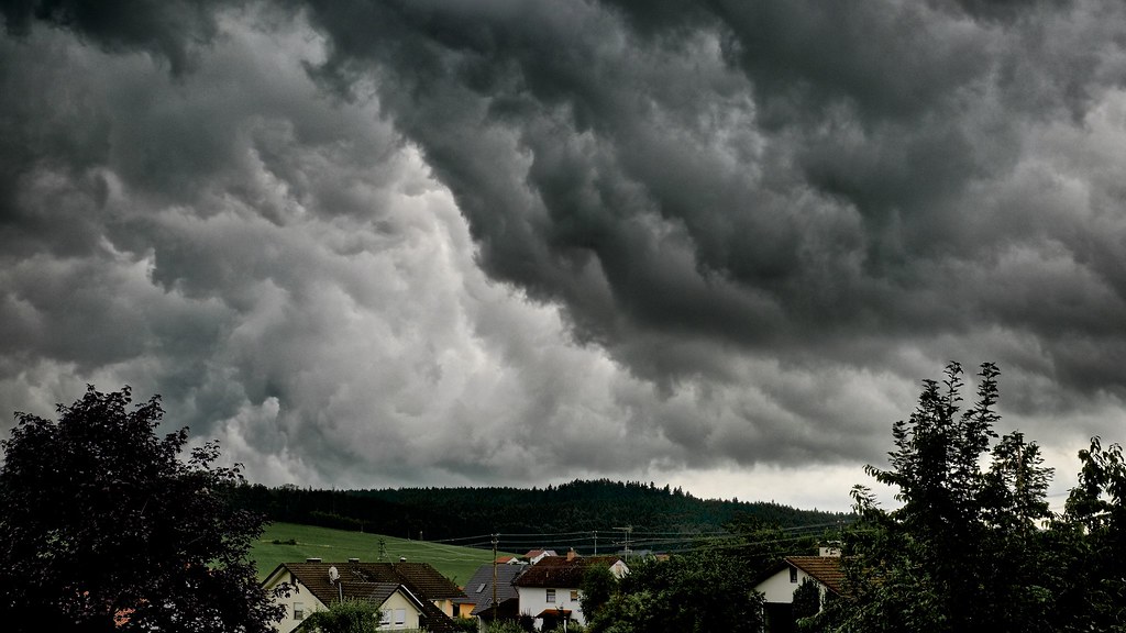
(dramaticl) HDR
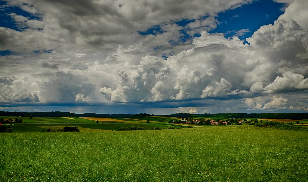
(Clouds over Allgäu) HDR
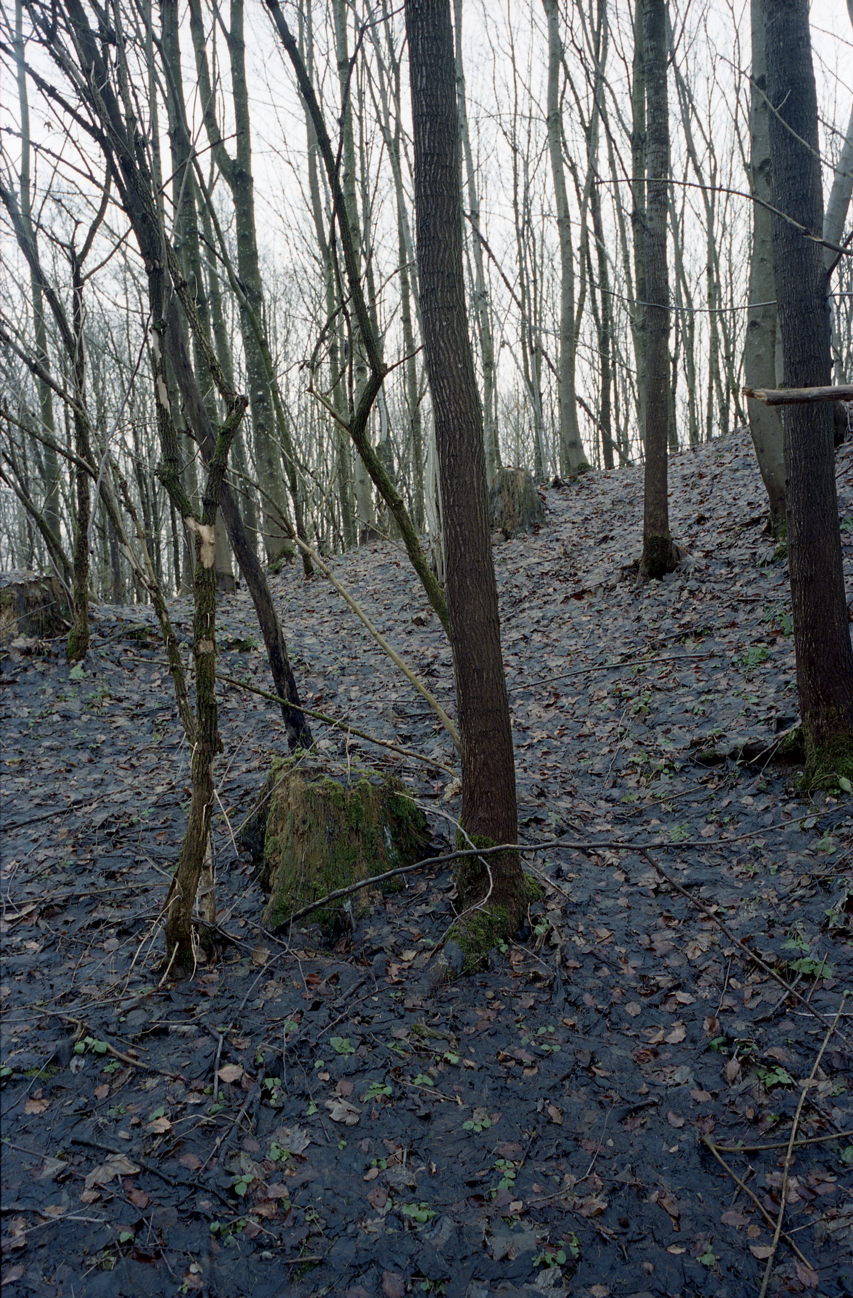
Christmas forest

Sunset lights
Crops I

Braunkehlchen (Saxicola rubetra)
calm down
Sunset III

On the hill
Topographic Map of Ustersbach, Germany
Find elevation by address:

Places in Ustersbach, Germany:
Places near Ustersbach, Germany:
Bahnhofstraße 4, Ustersbach, Germany
Mödishofen
1a
Breitenbronn
1a
Im Gäßle 1, Gessertshausen, Germany
Mickhausen
Von-Schnurbein-Straße 13, Dinkelscherben, Germany
Fuggerstraße 6, Mickhausen, Germany
Ettelried
Rielhofen
Walkertshofen
Ebrach 3, Walkertshofen, Germany
Kathreinerstraße 2, Augsburg, Germany
Graben
Oberottmarshausen
Hauptstraße 1, Oberottmarshausen, Germany
Augsburg Arena
Dywidag-systems International Gmbh
Augsburg-universitätsviertel
Recent Searches:
- Elevation of Corso Fratelli Cairoli, 35, Macerata MC, Italy
- Elevation of Tallevast Rd, Sarasota, FL, USA
- Elevation of 4th St E, Sonoma, CA, USA
- Elevation of Black Hollow Rd, Pennsdale, PA, USA
- Elevation of Oakland Ave, Williamsport, PA, USA
- Elevation of Pedrógão Grande, Portugal
- Elevation of Klee Dr, Martinsburg, WV, USA
- Elevation of Via Roma, Pieranica CR, Italy
- Elevation of Tavkvetili Mountain, Georgia
- Elevation of Hartfords Bluff Cir, Mt Pleasant, SC, USA