Elevation of Usachōryū, Tosa-shi, Kōchi-ken -, Japan
Location: Japan > Kochi Prefecture > Tosa >
Longitude: 133.455088
Latitude: 33.4265085
Elevation: 10m / 33feet
Barometric Pressure: 101KPa
Elevation Map:
Satellite Map:
Related Photos:

Greece in Japan
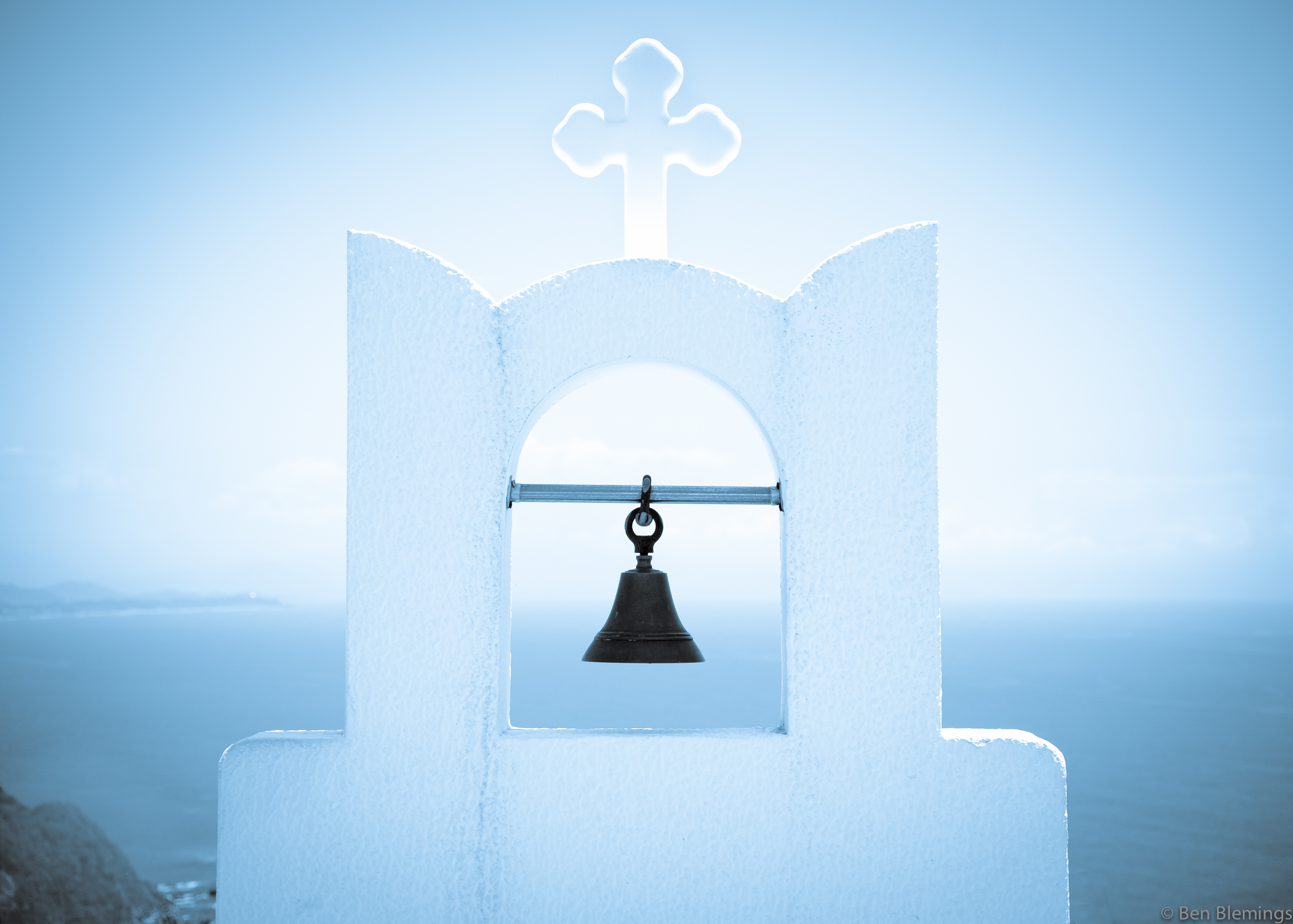
Greek Bell and cross
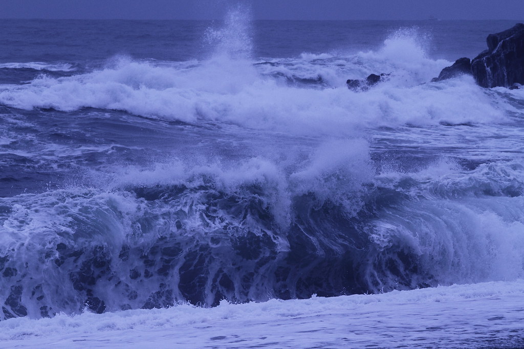
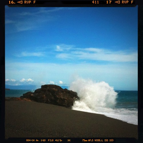
Powerful waves
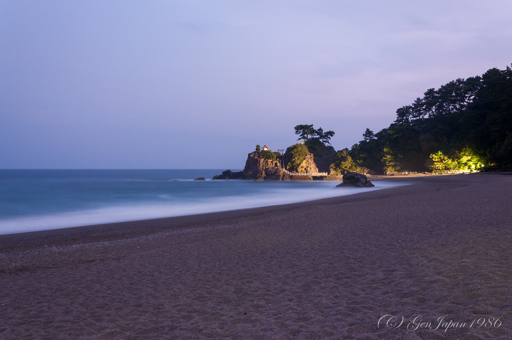
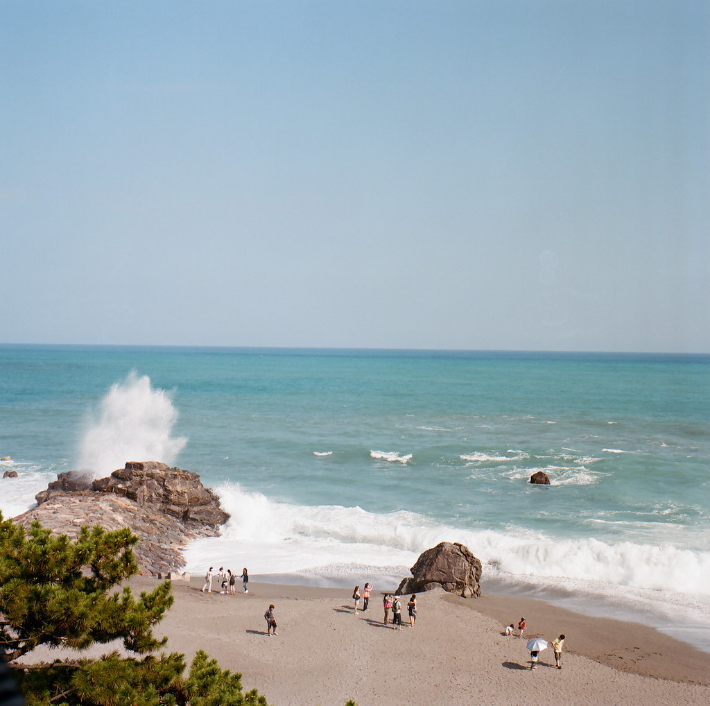
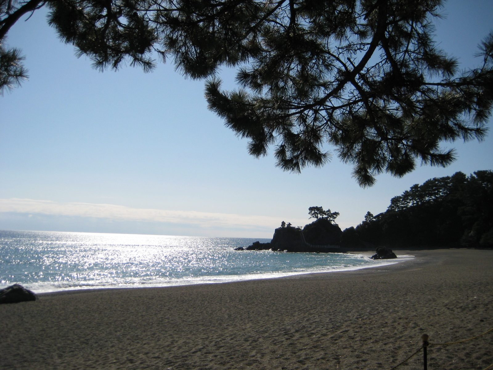
桂浜
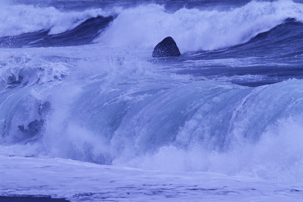
Dynamic motion
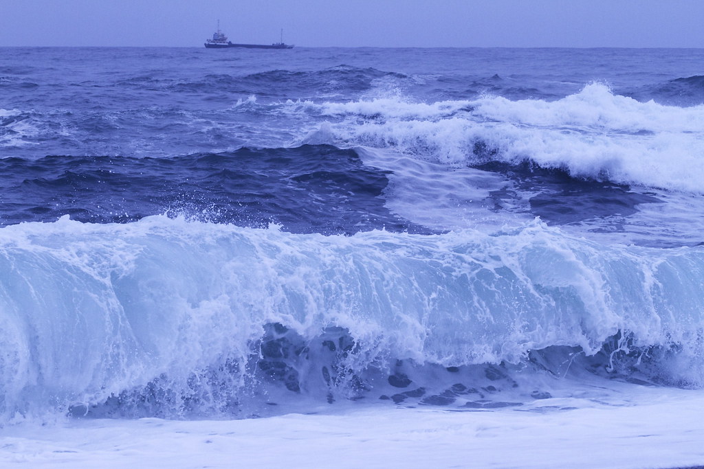
The power of nature ---Big waves---
clear sky

Sea in the morning
20081002_146.jpg
Somewhere in time
桂浜

20081002_108.jpg
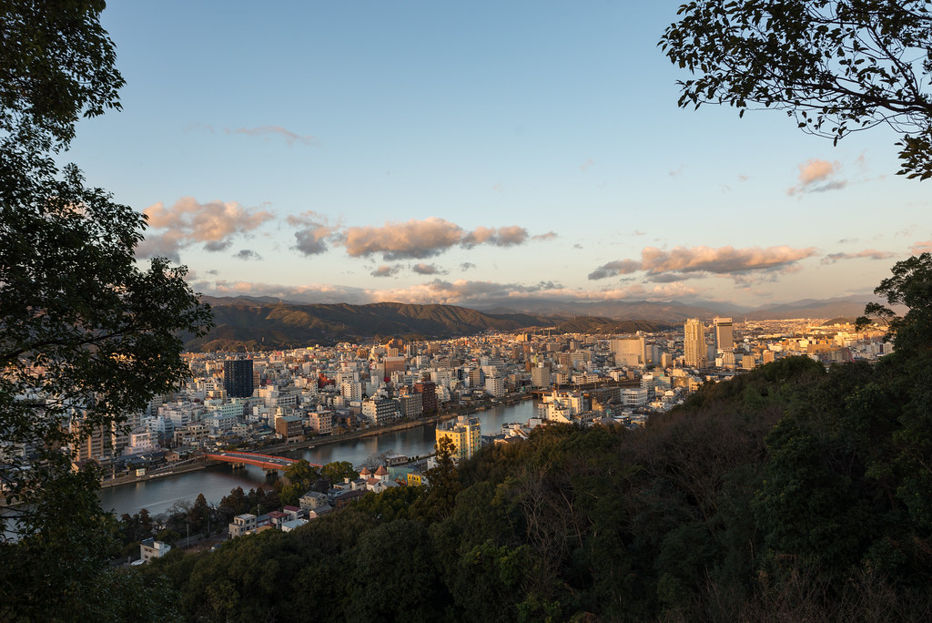
筆山公園

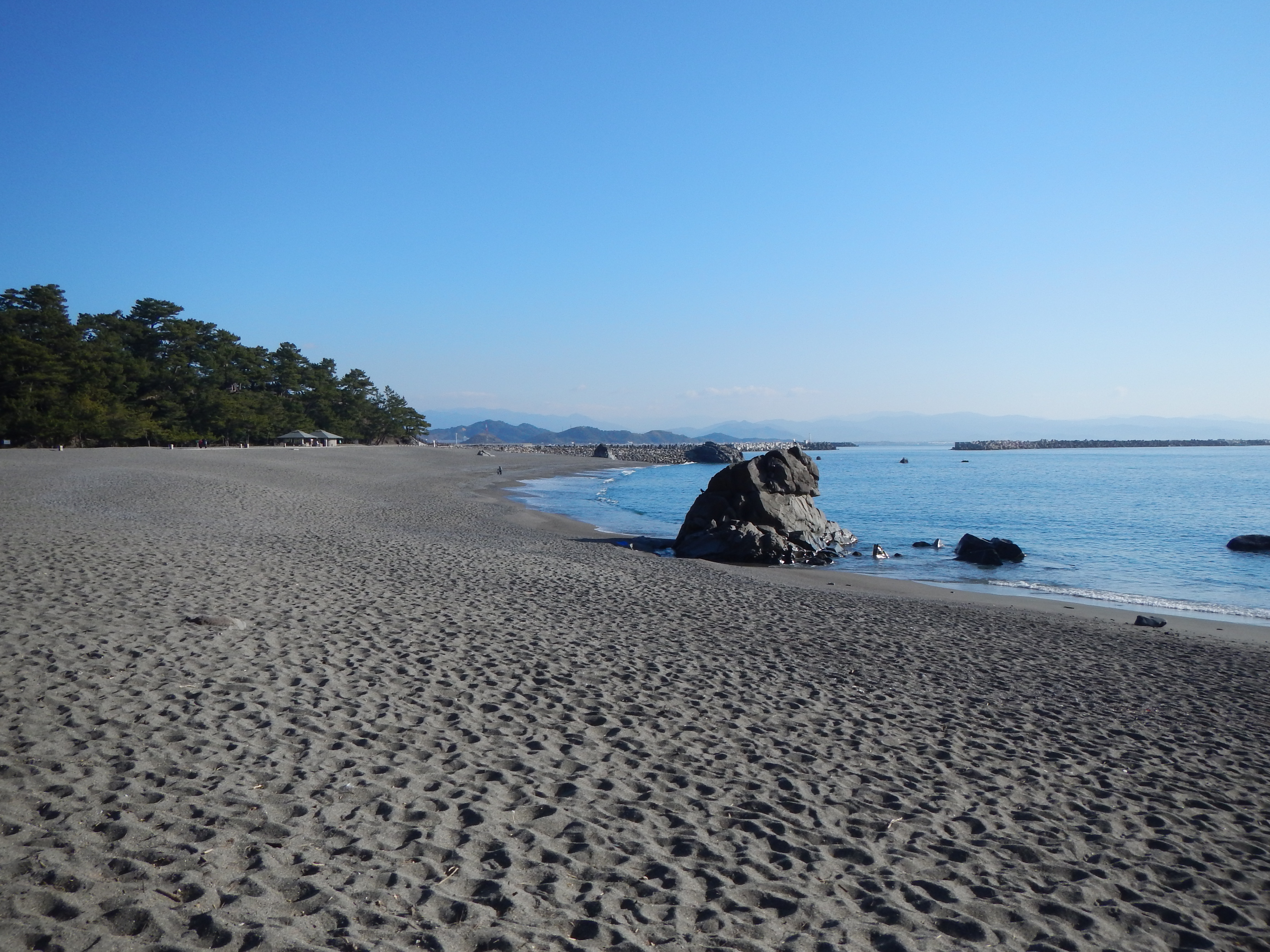
桂浜/Katsurahama

Noone in beach(良いビーチなのになー)
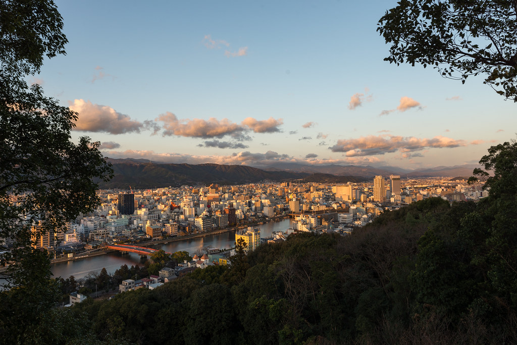
筆山公園からの景色

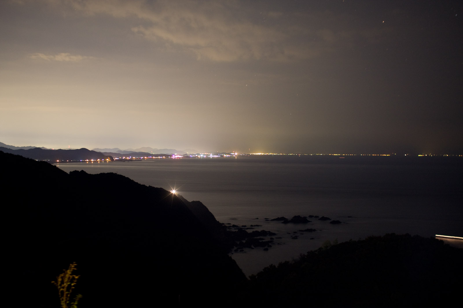
sunset in Kochi

筆山公園
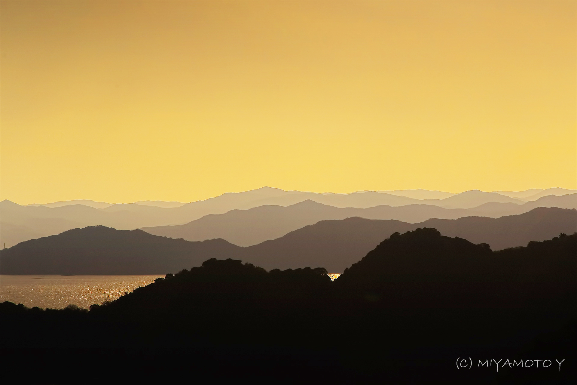
Mountain and mountain

Rural Japan

高知 坂本龍馬
Katsura-hama
高知 坂本龍馬
Topographic Map of Usachōryū, Tosa-shi, Kōchi-ken -, Japan
Find elevation by address:

Places near Usachōryū, Tosa-shi, Kōchi-ken -, Japan:
Usachō Inoshiri, Tosa-shi, Kōchi-ken -, Japan
Usachō Usa, Tosa-shi, Kōchi-ken -, Japan
-4 Usachō Usa, Tosa-shi, Kōchi-ken -, Japan
16 Uranouchi Shimonakayama, Susaki-shi, Kōchi-ken -, Japan
Uranouchi Kongawauchi, Susaki-shi, Kōchi-ken -, Japan
Uranouchi Izumi, Susaki-shi, Kōchi-ken -, Japan
Uranouchi Fukura, Susaki-shi, Kōchi-ken -, Japan
Tosa
Uranouchi Higashibun, Susaki-shi, Kōchi-ken -, Japan
21 Ekiminamimachi, Ino-chō, Agawa-gun, Kōchi-ken -, Japan
Ino
Hidaka
-4 Urado, Kōchi-shi, Kōchi-ken -, Japan
Hongō, Hidaka-mura, Takaoka-gun, Kōchi-ken -, Japan
Kochi
Kochi Prefecture
1 Chome-2 Marunouchi
Kochi Castle
Susaki
Ōnogōkō, Susaki-shi, Kōchi-ken -, Japan
Recent Searches:
- Elevation of Corso Fratelli Cairoli, 35, Macerata MC, Italy
- Elevation of Tallevast Rd, Sarasota, FL, USA
- Elevation of 4th St E, Sonoma, CA, USA
- Elevation of Black Hollow Rd, Pennsdale, PA, USA
- Elevation of Oakland Ave, Williamsport, PA, USA
- Elevation of Pedrógão Grande, Portugal
- Elevation of Klee Dr, Martinsburg, WV, USA
- Elevation of Via Roma, Pieranica CR, Italy
- Elevation of Tavkvetili Mountain, Georgia
- Elevation of Hartfords Bluff Cir, Mt Pleasant, SC, USA