Elevation of US-, San Benito, TX, USA
Location: United States > Texas > Cameron County > San Benito >
Longitude: -97.7573929
Latitude: 26.054371
Elevation: 18m / 59feet
Barometric Pressure: 0KPa
Related Photos:
Before and After
Spiney Spider 1
Edge of the Storm

Celestial Event
Immaculate Heart of Mary 1

Opposing Points of View

trigiR peeK ciffarT rewolS
Valentine's Day 2008
Termite, Dorsal View
Cannon No. 23 and Alonso de Leon Marker
Flat Iron Building and View of Fifth Avenue
The Law Library, Cambridge, Mass

Termite, Ventral View
Mockingbid, Dorsal View
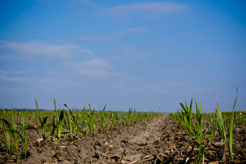
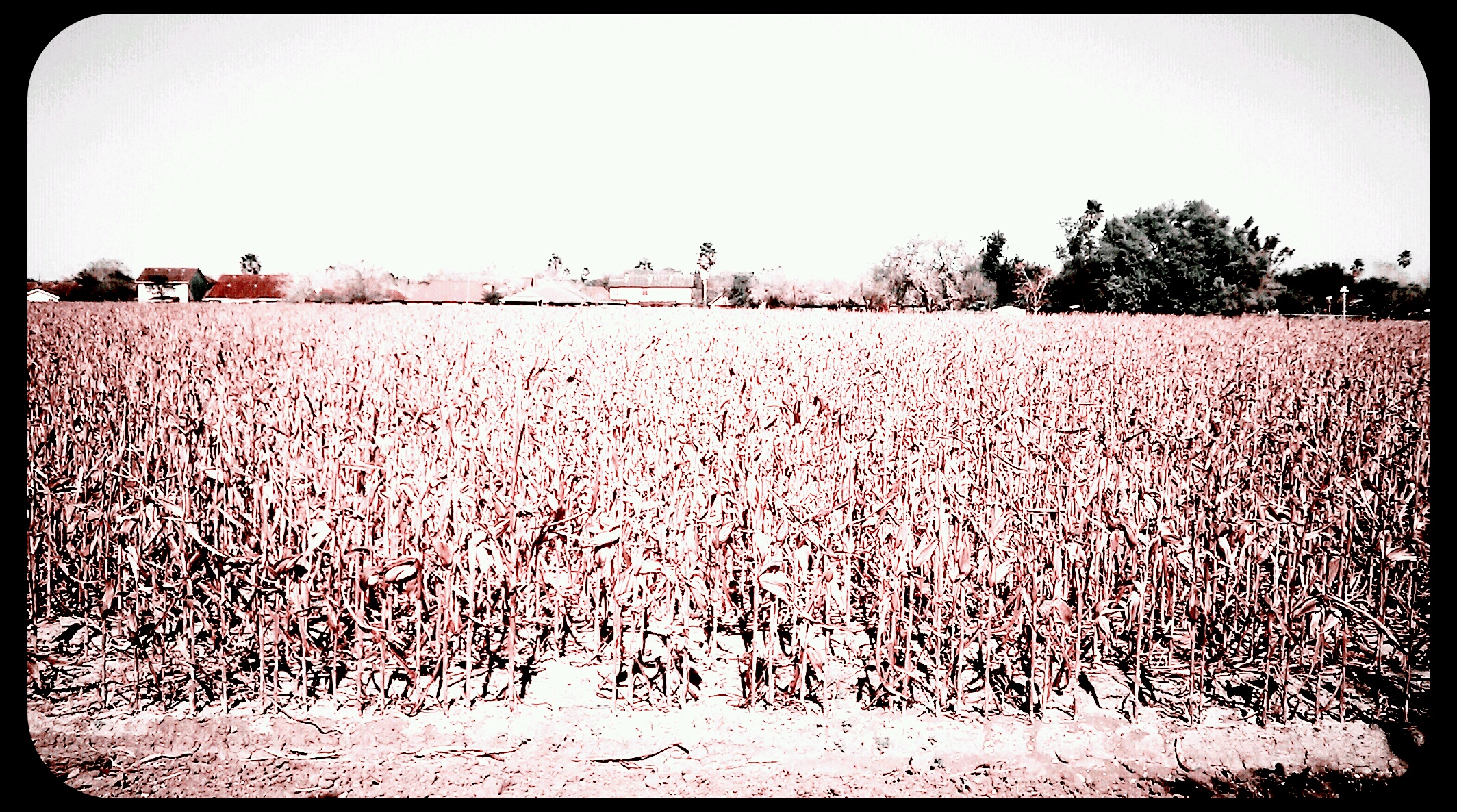
Cotton Field
Cotton Fields

A Walk In The Park
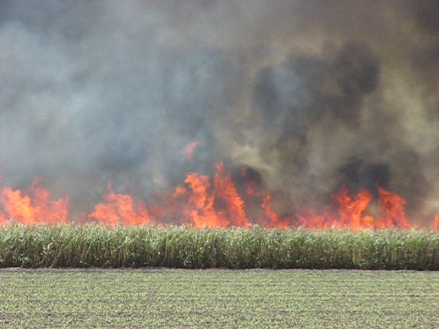
Sugar Cane Field Burn-Off
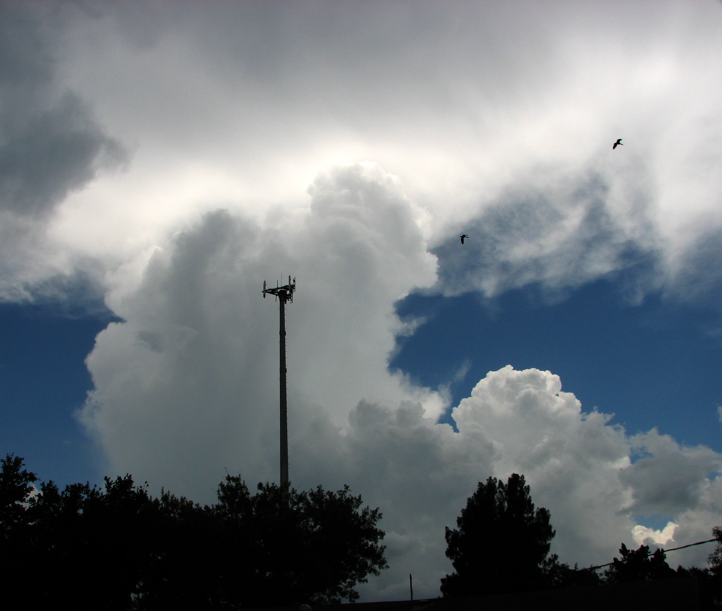
Afternoon Sea Breeze Thunderheads Firing Up
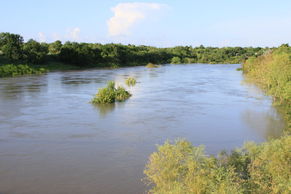
2010 Arroyo Colorado Flood
Ground level
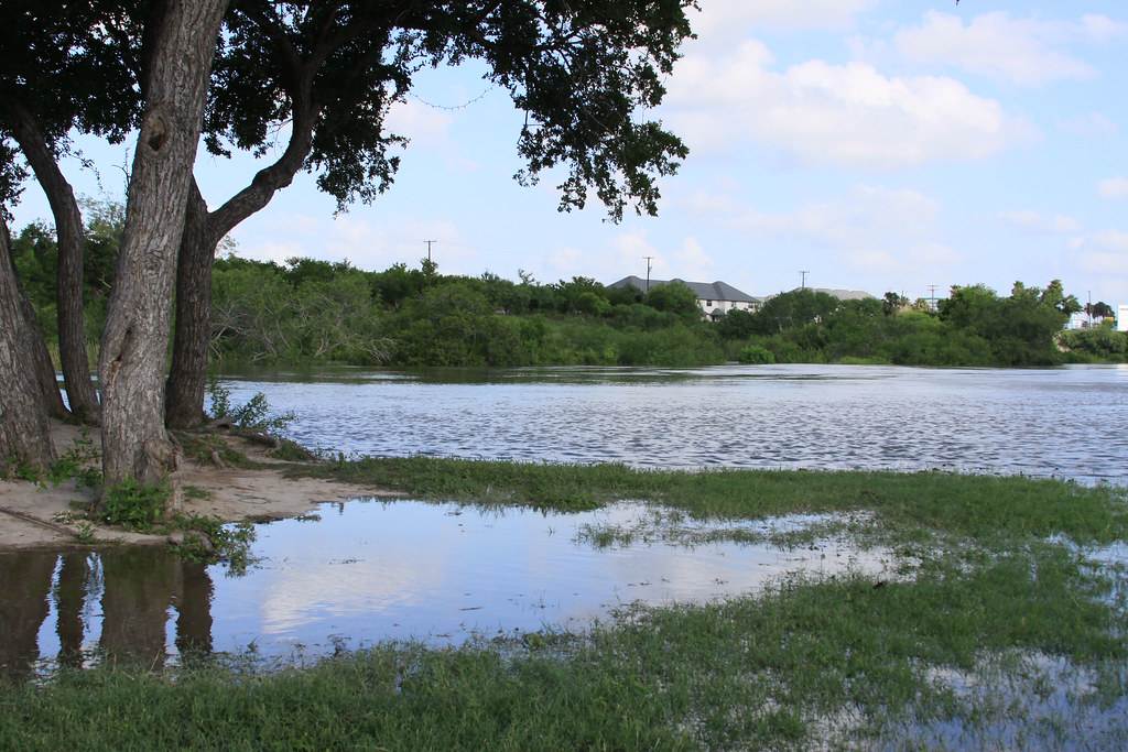
2010 Arroyo Colorado Flood
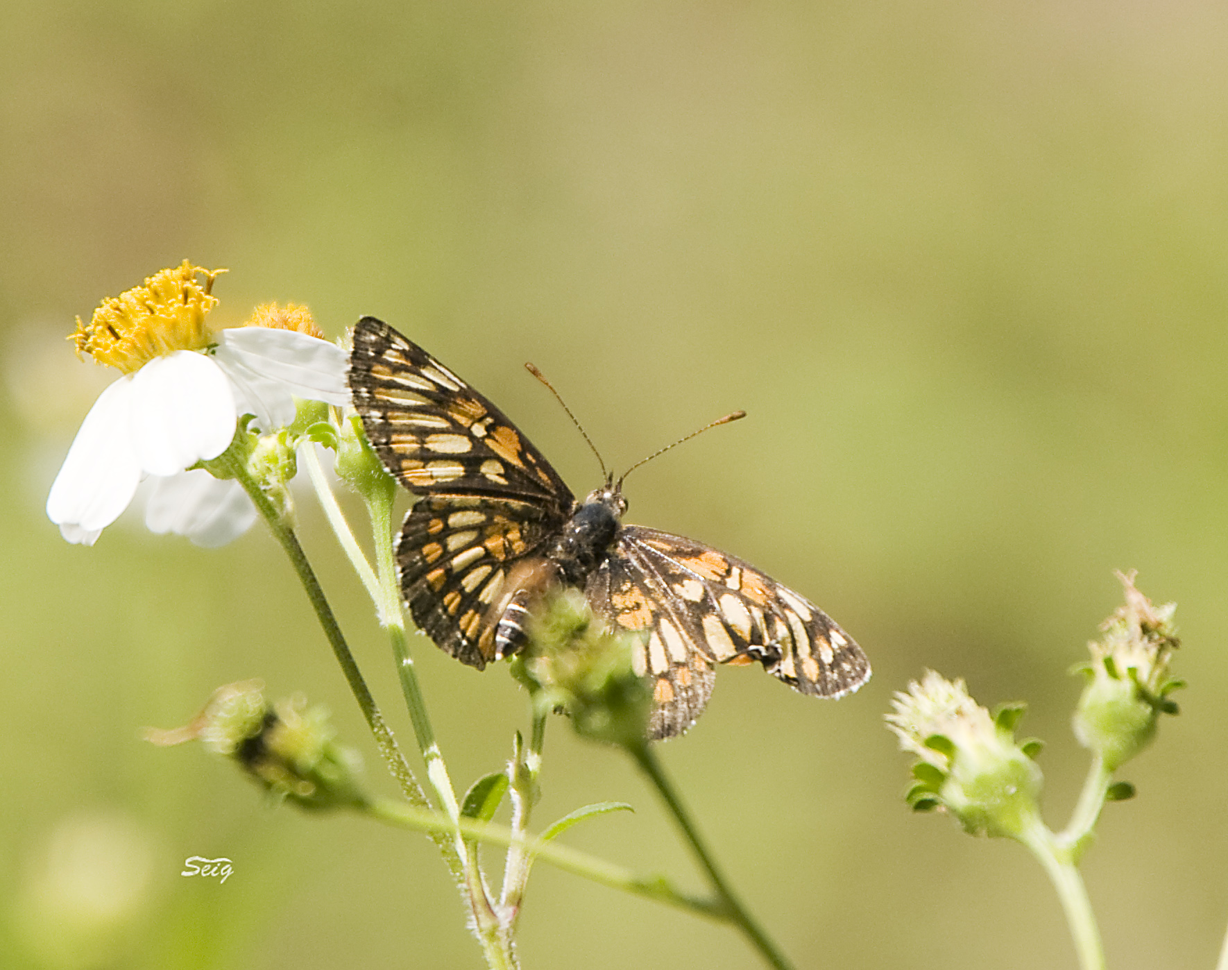
Theona Checkerspot Chlosyne theona se-tx_0102
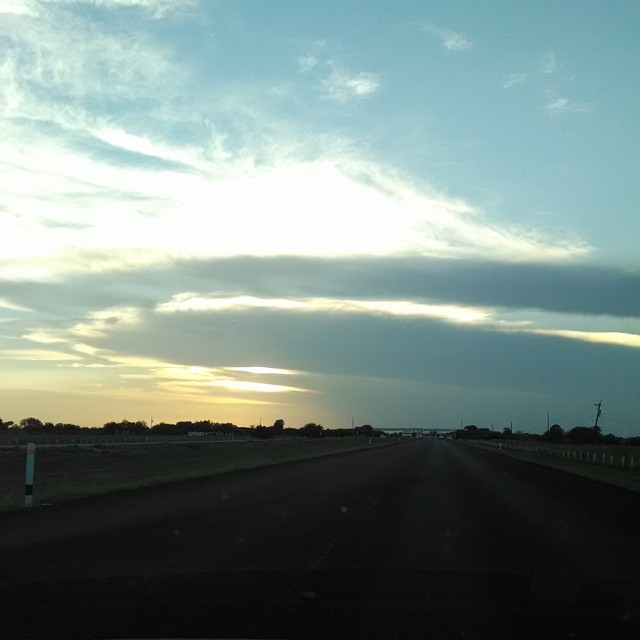
Road and sky
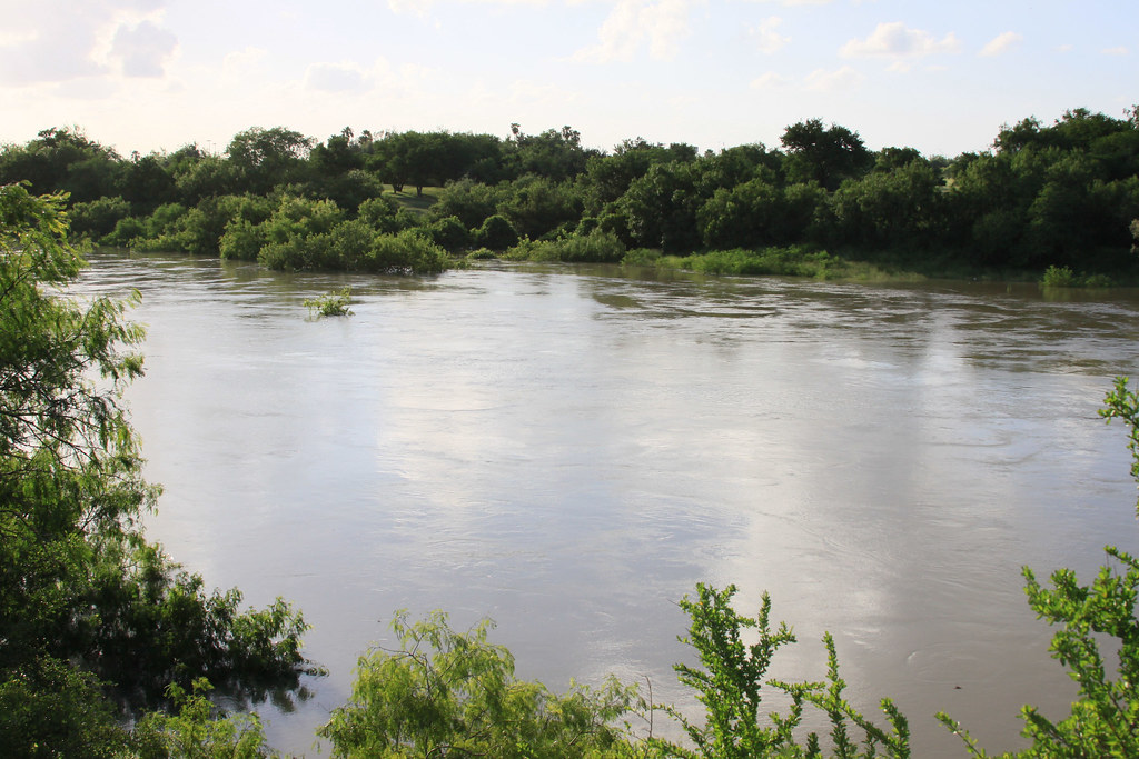
2010 Arroyo Colorado Flood

2010 Arroyo Colorado Flood
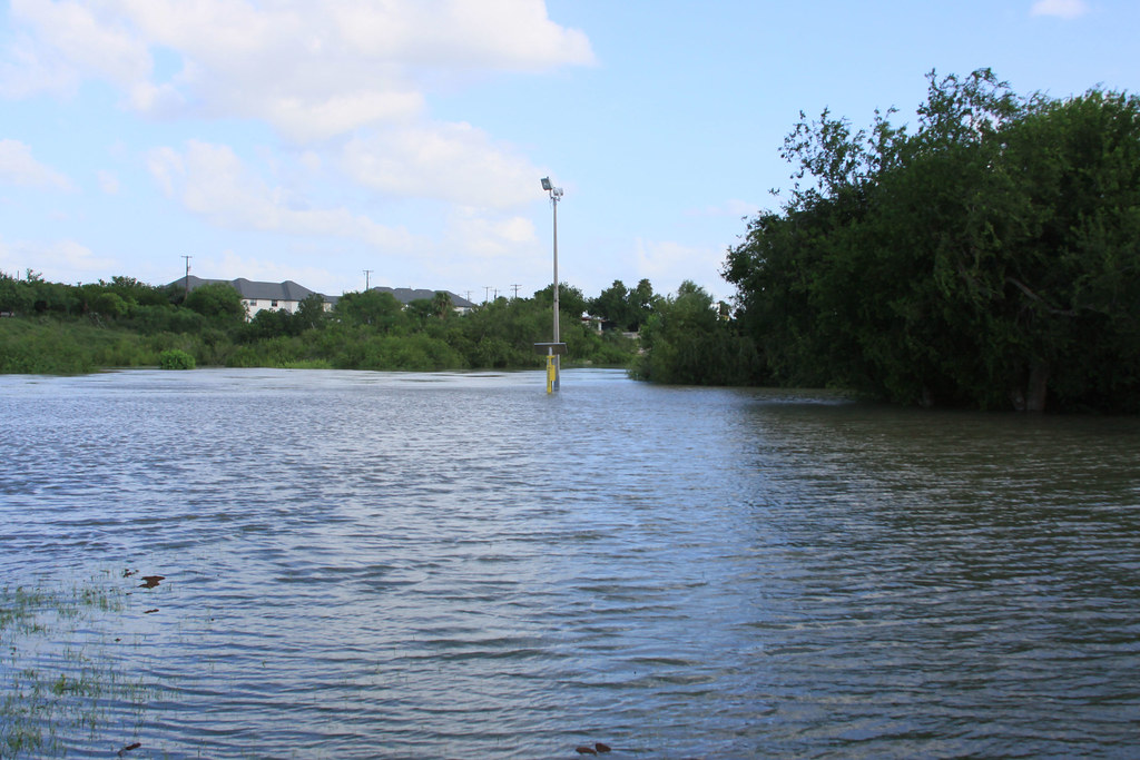
2010 Arroyo Colorado Flood
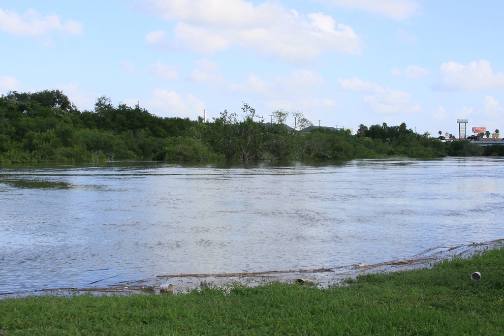
2010 Arroyo Colorado Flood

Venus And The Moon Share The Sky Tonight

Sun Behind The Tree

2011_06_16_046.jpg
2010-12-25-12-15-06-098

2010 Arroyo Colorado Flood
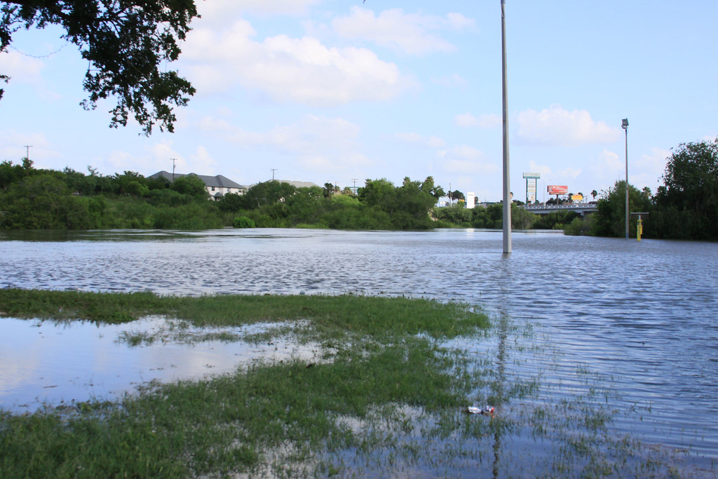
2010 Arroyo Colorado Flood

2010 Easterfest
Topographic Map of US-, San Benito, TX, USA
Find elevation by address:

Places near US-, San Benito, TX, USA:
J E Gerusa St, San Benito, TX, USA
Los Indios
Ohio, La Feria, TX, USA
E Commercial Ave, La Feria, TX, USA
Stuart Place Elementary School
U.S. 83 Business, Harlingen, TX, USA
La Feria
4797 W Expy 83
604 Hibiscus
Farm to Market, La Feria, TX, USA
Bixby
FM, La Feria, TX, USA
Mile 6 N, Mercedes, TX, USA
Mercedes
North Washington Avenue
E Lorenzana St, Mercedes, TX, USA
Executive Inn
Llano Grande
1710 S Oklahoma Ave
500 W 15th St
Recent Searches:
- Elevation of 107, Big Apple Road, East Palatka, Putnam County, Florida, 32131, USA
- Elevation of Jiezi, Chongzhou City, Sichuan, China
- Elevation of Chongzhou City, Sichuan, China
- Elevation of Huaiyuan, Chongzhou City, Sichuan, China
- Elevation of Qingxia, Chengdu, Sichuan, China
- Elevation of Corso Fratelli Cairoli, 35, Macerata MC, Italy
- Elevation of Tallevast Rd, Sarasota, FL, USA
- Elevation of 4th St E, Sonoma, CA, USA
- Elevation of Black Hollow Rd, Pennsdale, PA, USA
- Elevation of Oakland Ave, Williamsport, PA, USA
- Elevation of Pedrógão Grande, Portugal
- Elevation of Klee Dr, Martinsburg, WV, USA
- Elevation of Via Roma, Pieranica CR, Italy
- Elevation of Tavkvetili Mountain, Georgia
- Elevation of Hartfords Bluff Cir, Mt Pleasant, SC, USA
- Elevation of SW Barberry Dr, Beaverton, OR, USA
- Elevation of Old Ahsahka Grade, Ahsahka, ID, USA
- Elevation of State Hwy F, Pacific, MO, USA
- Elevation of Chemin de Bel air, Chem. de Bel air, Mougins, France
- Elevation of Cloverdale Dr, Bloomingdale, GA, USA