Elevation of US-, Naselle, WA, USA
Location: United States > Washington > Pacific County > Naselle >

Longitude: -123.88712

Latitude: 46.489572

Elevation: 4m / 13feet

Barometric Pressure: 101KPa

Elevation Map:

elevation map of US-, Naselle, WA, USA

Satellite Map:

Satellite map of US-, Naselle, WA, USA

Related Photos:

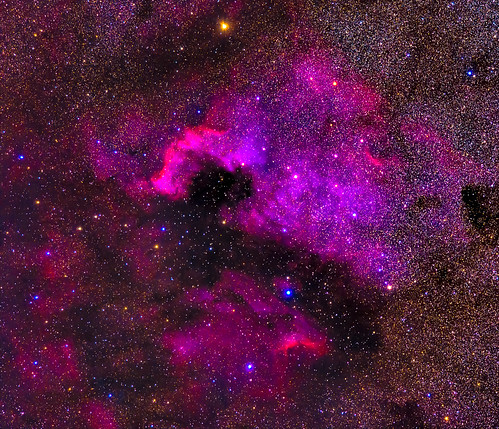
longexposure travel november nature stars iso800 washington unitedstates olympicpeninsula noflash longbeach nebula northamerica portfolio locations oceanpark 400mm manualmode ngc7000 2013 longbeachpeninsula 500px losmandyg11 400mmf28 astronomicalobject geo:state=washington exif:iso_speed=800 Astrometrydotnet:status=solved germanequatorialmount hasmetastyletag hascameratype haslenstype selfrating4stars exif:focal_length=400mm camera:make=nikoncorporation exif:make=nikoncorporation geo:countrys=unitedstates exif:aperture=ƒ50 subjectdistanceunknown nikond800e exif:lens=400mmf28 exif:model=nikond800e camera:model=nikond800e 2013travel nikkor400mmf28gedafsvr november242013 hasmounttype longbeachwashington1122201311252013adamsbirthdaytrip processedinpixinsight thenorthamericannebula geo:city=oceanpark geo:lon=12406033741 geo:lat=4649445038 3000secatf50 46°2940n124°337w oceanparkwashingtonunitedstates Astrometrydotnet:id=nova159644
NGC7000 - The North American Nebula
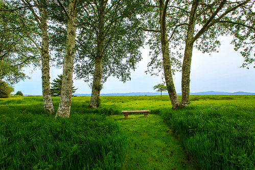
trees grass bench path oceanview pacificcounty oystervillewa
Sea View
geotagged geo:lon=123913666666667 geo:lat=466143333333333 geo:dir=2808
19299.jpg
geotagged geo:lon=124026666666667 geo:dir=2435 geo:lat=464566666666667
18217.jpg
geotagged geo:dir=2379 geo:lat=465883333333333 geo:lon=124026833333333
18284.jpg
panorama beach ava mediumformat holga dunes longbeach elaine russ beachhouse
dunes panorama
sky clouds watercolor bay pier boat nikon decay working hero pacificnorthwest pnw willapabay resilience baycenter researchvessel scrappiness baycenterwa mvherobaycenterwa mvhero rvherobaycenterwa
R/V Hero, Bay Center WA
geotagged geo:lon=123965 geo:dir=2522 geo:lat=46438
19677.jpg
geotagged geo:dir=25 geo:lon=1239045 geo:lat=464383333333333
19570.jpg
geotagged geo:lon=123890333333333 geo:lat=466001666666667 geo:dir=2765
19323.jpg
geotagged geo:dir=139 geo:lat=464333333333333 geo:lon=123902333333333
19569.jpg
geotagged geo:lon=123914666666667 geo:lat=465995 geo:dir=2457
19366.jpg
geotagged geo:lon=123948166666667 geo:lat=466255 geo:dir=2311
19387.jpg
geotagged geo:lon=123924666666667 geo:lat=466313333333333 geo:dir=1874
19287.jpg
geotagged geo:lon=123885 geo:dir=743 geo:lat=465175
19498.jpg
geotagged geo:lon=123983333333333 geo:lat=464805 geo:dir=1692
18088.jpg
geotagged geo:lon=123884 geo:lat=466048333333333 geo:dir=1834
19325.jpg
geotagged geo:lon=123901166666667 geo:lat=46433 geo:dir=19
19571.jpg
geotagged geo:lon=123913333333333 geo:lat=466045 geo:dir=511
19306.jpg
geotagged geo:lon=123969 geo:dir=511 geo:lat=46438
19716.jpg
geotagged geo:dir=1701 geo:lon=123884666666667 geo:lat=466005
19328.jpg
ocean park sunset southwest clouds coast washington pacific events places oceanpark 201502220011
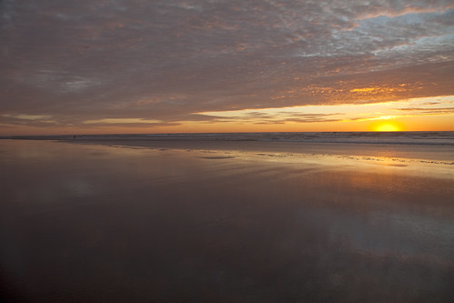
Ocean Park Sunset
PIX-IMG_6957HDTV-Test-g
sun beach fog landscape washington sand bravo dunes dune longbeach sanddune klipsan klipsanbeach
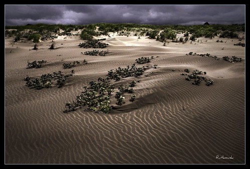
Dunes #1 - Klipsan Beach, Washington
365/31 - 1/31/13 - Immortal, the beach and water will always be here, wish the plastic junk was'nt!
ocean beach water washington sand highkey odc1
365/77 - 3/18/13 - HIGH KEY is the topic for Monday 18th March 2013
Untitled_HDR2 2
dog seaweed beach coast washington sand pacificocean pacificnorthwest
A seaweed huntin' dog
hipstamatic
Willapa Bay, WA
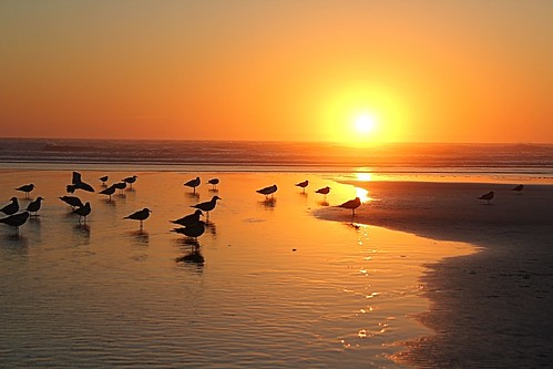
ocean sunset water birds sand pacificocean 366
366/250 - 9/6/12 - Sunset on the Pacific Ocean!
trip beach book long
Long beach
trees blackandwhite usa monochrome forest river spring woods unitedstates northwest estuary pacificnorthwest northamerica willapa
Early Spring Forest, Willapa Bay, Washington, 2014
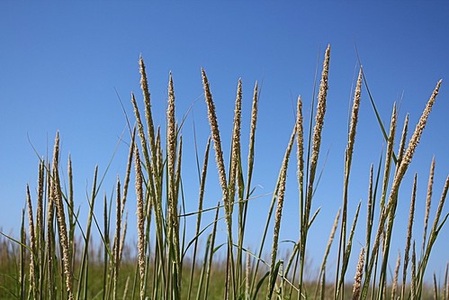
grass delicate odc1
8/12/12 "DELICATE"
trip beach book long dene
Dene and pup on Long Beach
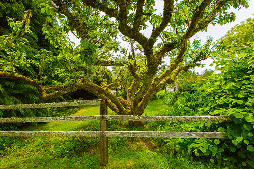
tree fence appletree pacificcounty longbeachpeninsula oystervillewa
Apple Tree