Elevation of US-, Groveton, TX, USA
Location: United States > Texas > Trinity County > Groveton >
Longitude: -95.2338798
Latitude: 31.1791076
Elevation: 103m / 338feet
Barometric Pressure: 0KPa
Related Photos:
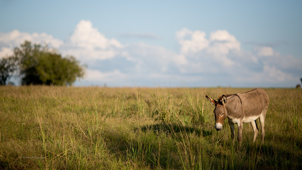
The Noble Ass
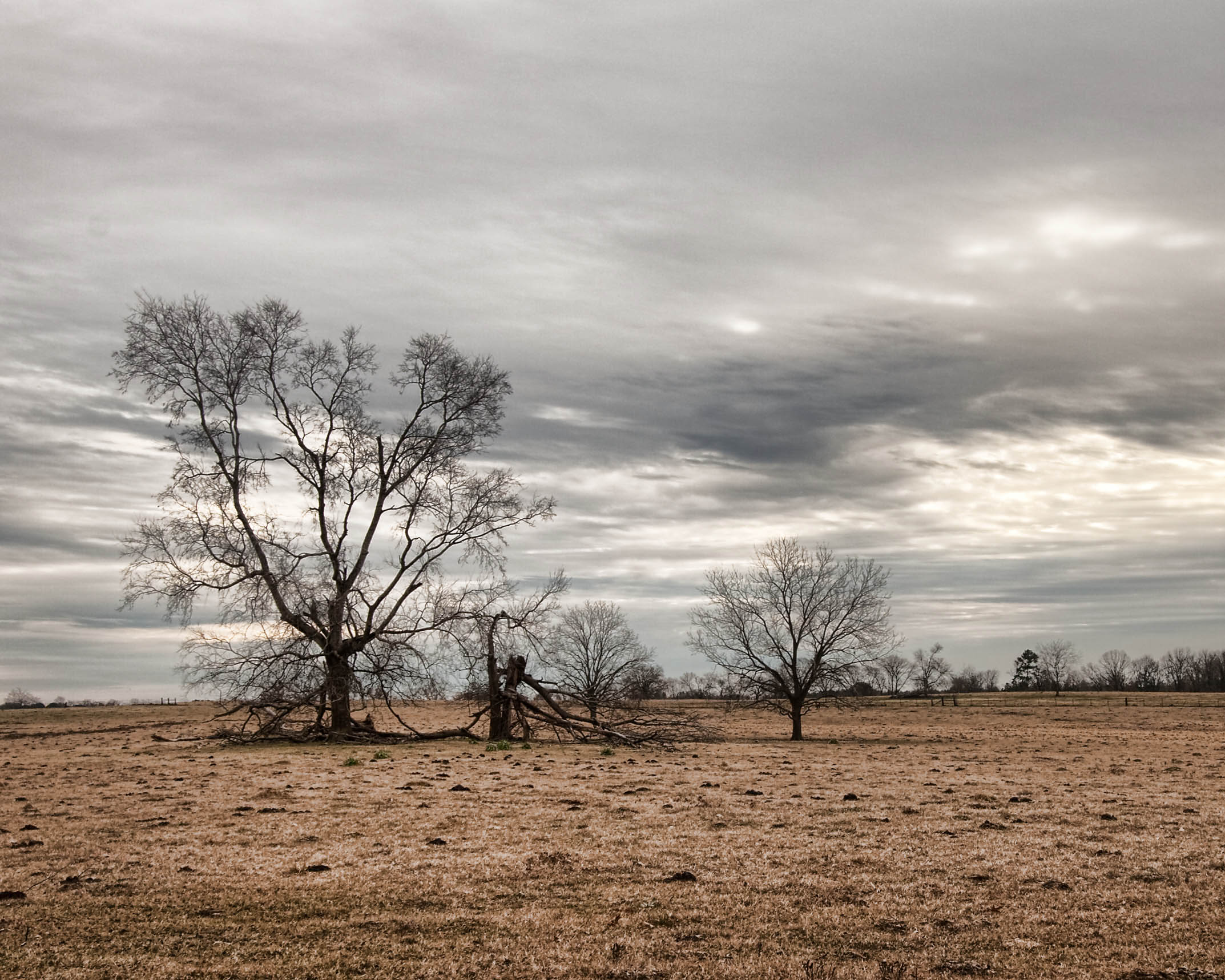
Old Homesite, Pennington, TX

Looking Through a Texas Fence - HFF!!
Topographic Map of US-, Groveton, TX, USA
Find elevation by address:

Places near US-, Groveton, TX, USA:
Parker Road 2
Evans Lane
US-, Lovelady, TX, USA
250 Carl Evans Rd
US-, Crockett, TX, USA
Trinity County
Parker Road
Possum Walk Road
Kennard, TX, USA
FM, Lovelady, TX, USA
Groveton
E 1st St, Groveton, TX, USA
TX-94, Trinity, TX, USA
1286 County Rd 4690
Cochino Lodge
Kennard
FM, Kennard, TX, USA
680 Fm1280
Lovelady
385 Parrs Marina Rd
Recent Searches:
- Elevation map of Greenland, Greenland
- Elevation of Sullivan Hill, New York, New York, 10002, USA
- Elevation of Morehead Road, Withrow Downs, Charlotte, Mecklenburg County, North Carolina, 28262, USA
- Elevation of 2800, Morehead Road, Withrow Downs, Charlotte, Mecklenburg County, North Carolina, 28262, USA
- Elevation of Yangbi Yi Autonomous County, Yunnan, China
- Elevation of Pingpo, Yangbi Yi Autonomous County, Yunnan, China
- Elevation of Mount Malong, Pingpo, Yangbi Yi Autonomous County, Yunnan, China
- Elevation map of Yongping County, Yunnan, China
- Elevation of North 8th Street, Palatka, Putnam County, Florida, 32177, USA
- Elevation of 107, Big Apple Road, East Palatka, Putnam County, Florida, 32131, USA
- Elevation of Jiezi, Chongzhou City, Sichuan, China
- Elevation of Chongzhou City, Sichuan, China
- Elevation of Huaiyuan, Chongzhou City, Sichuan, China
- Elevation of Qingxia, Chengdu, Sichuan, China
- Elevation of Corso Fratelli Cairoli, 35, Macerata MC, Italy
- Elevation of Tallevast Rd, Sarasota, FL, USA
- Elevation of 4th St E, Sonoma, CA, USA
- Elevation of Black Hollow Rd, Pennsdale, PA, USA
- Elevation of Oakland Ave, Williamsport, PA, USA
- Elevation of Pedrógão Grande, Portugal