Elevation of US-, Cuddebackville, NY, USA
Location: United States > New York > Orange County > Deerpark > Cuddebackville >
Longitude: -74.575321
Latitude: 41.487101
Elevation: 164m / 538feet
Barometric Pressure: 99KPa
Elevation Map:
Satellite Map:
Related Photos:
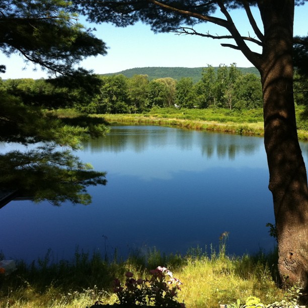
the Hawk's Nest by day

Sacrificed To Time
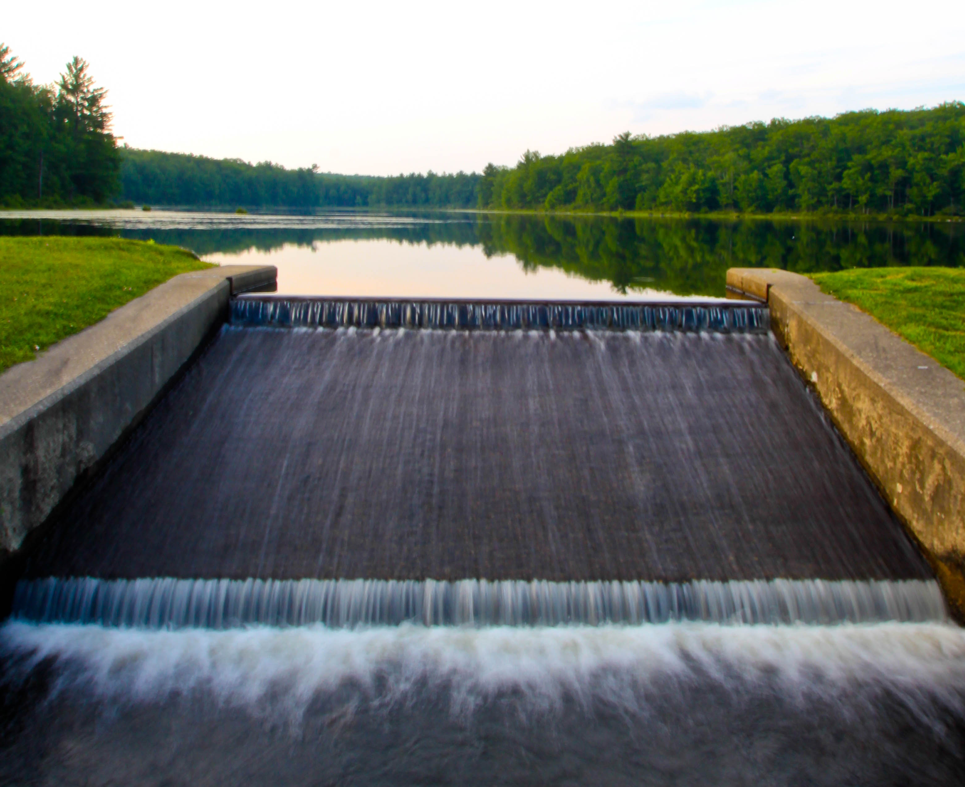
Views of Greenkill 2

A Place To Sit

Along The College Fence
Views of Greenkill

Holiday Shopping Choices
Psychiatric Center Windows

Octoberfest Bubbles
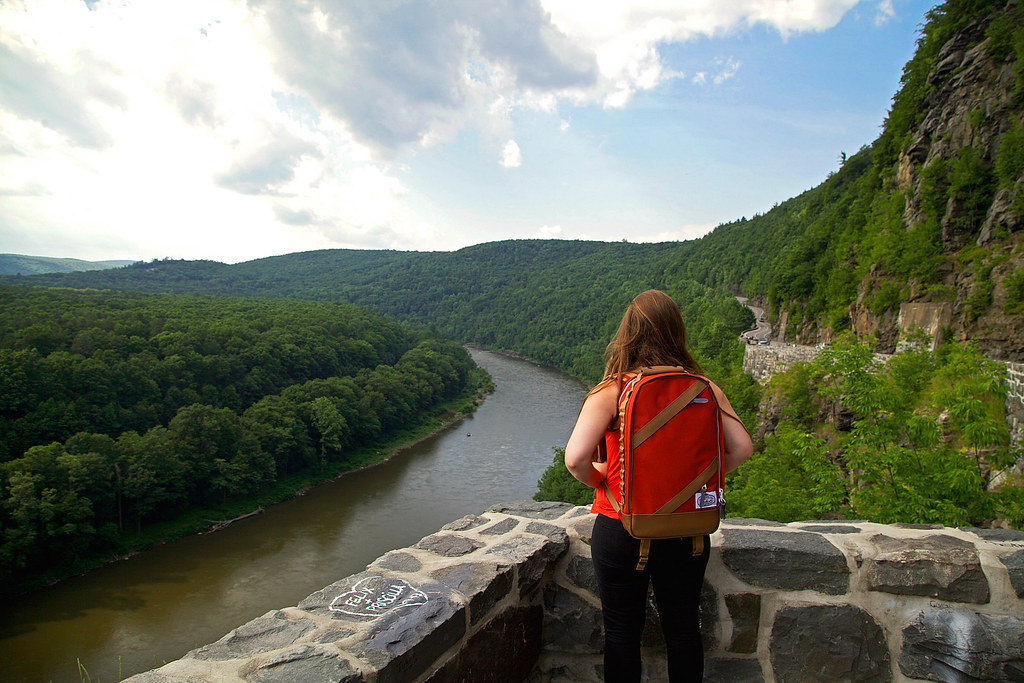
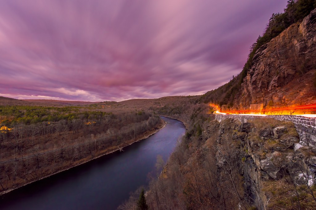
Overlooking the Delaware River

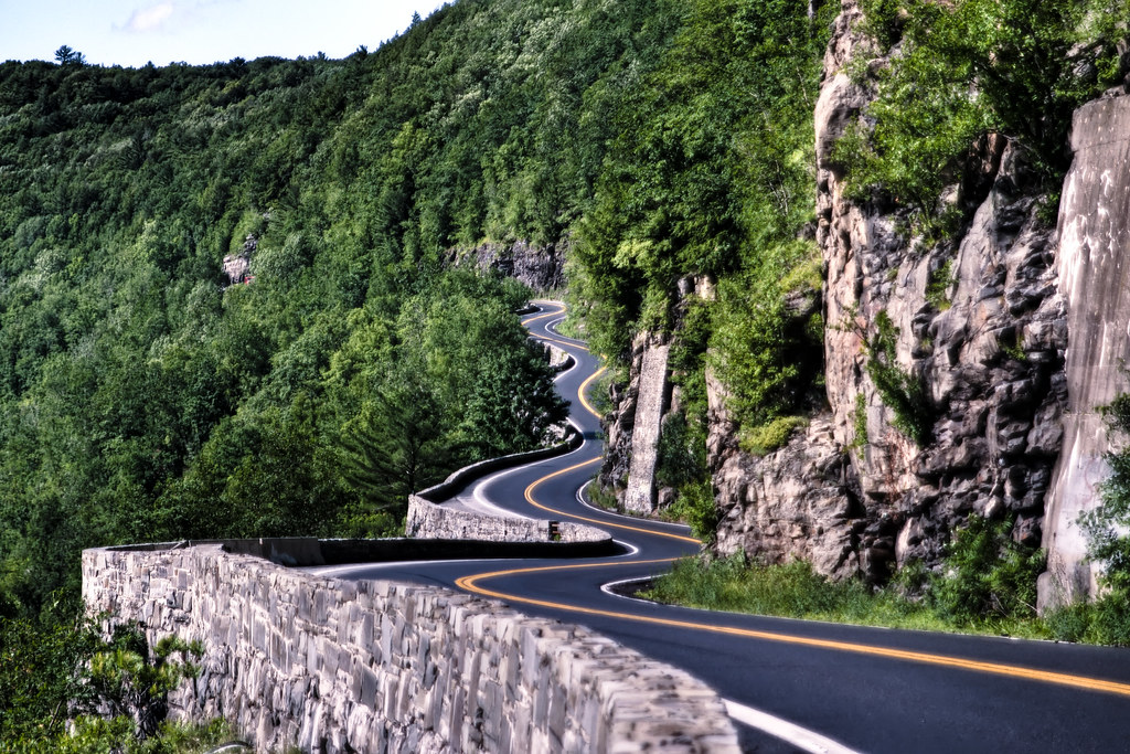
Lines Along A Straight Road

storm ahead

Vacation To 1969
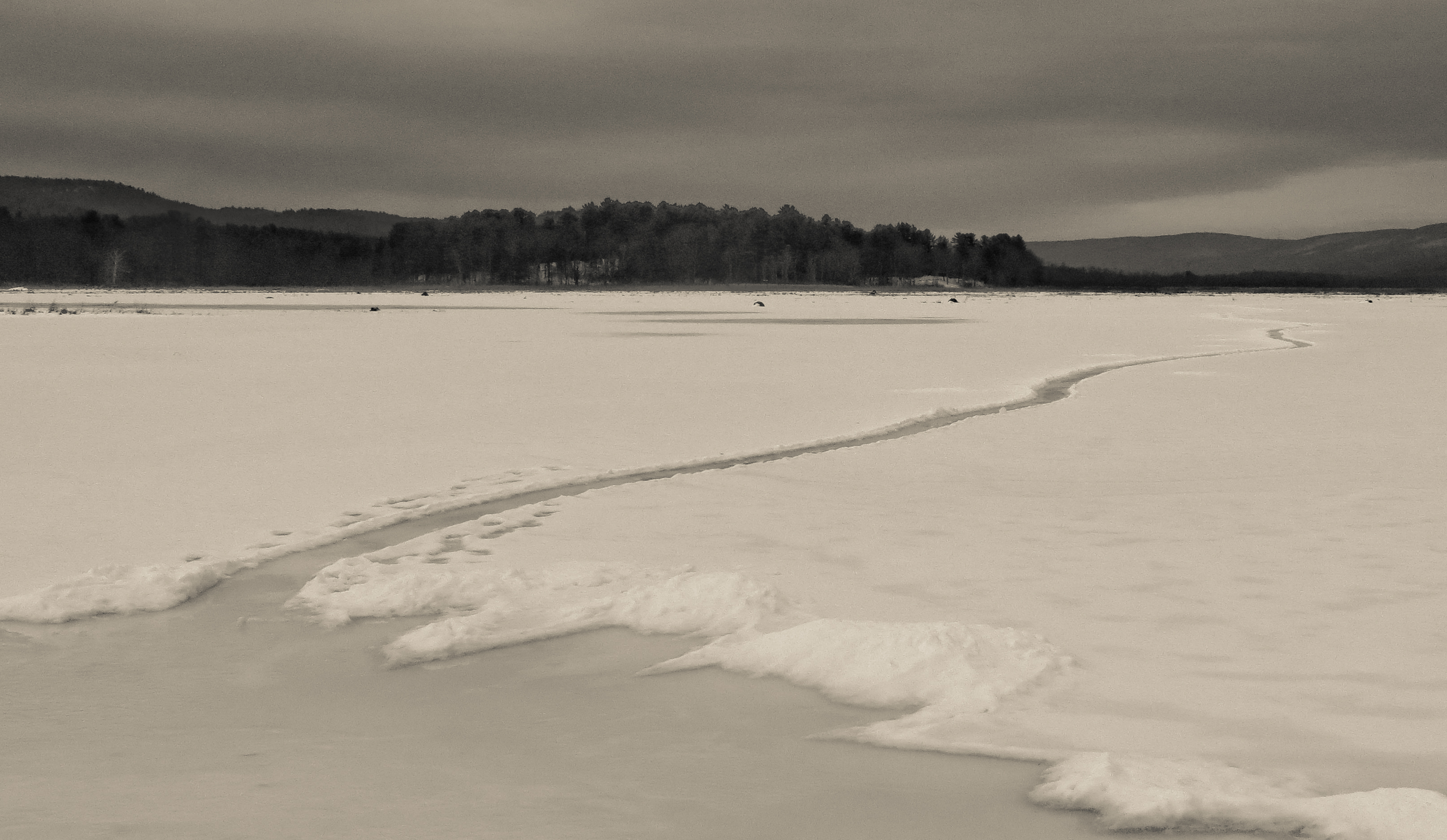
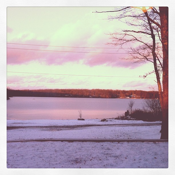
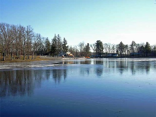
Path Into An Icy Lake

John W. Chorley Elementary School - Model
Evening Sky Over Wolf Lake

Clouds Moving In Over The Bashakill *Explore*
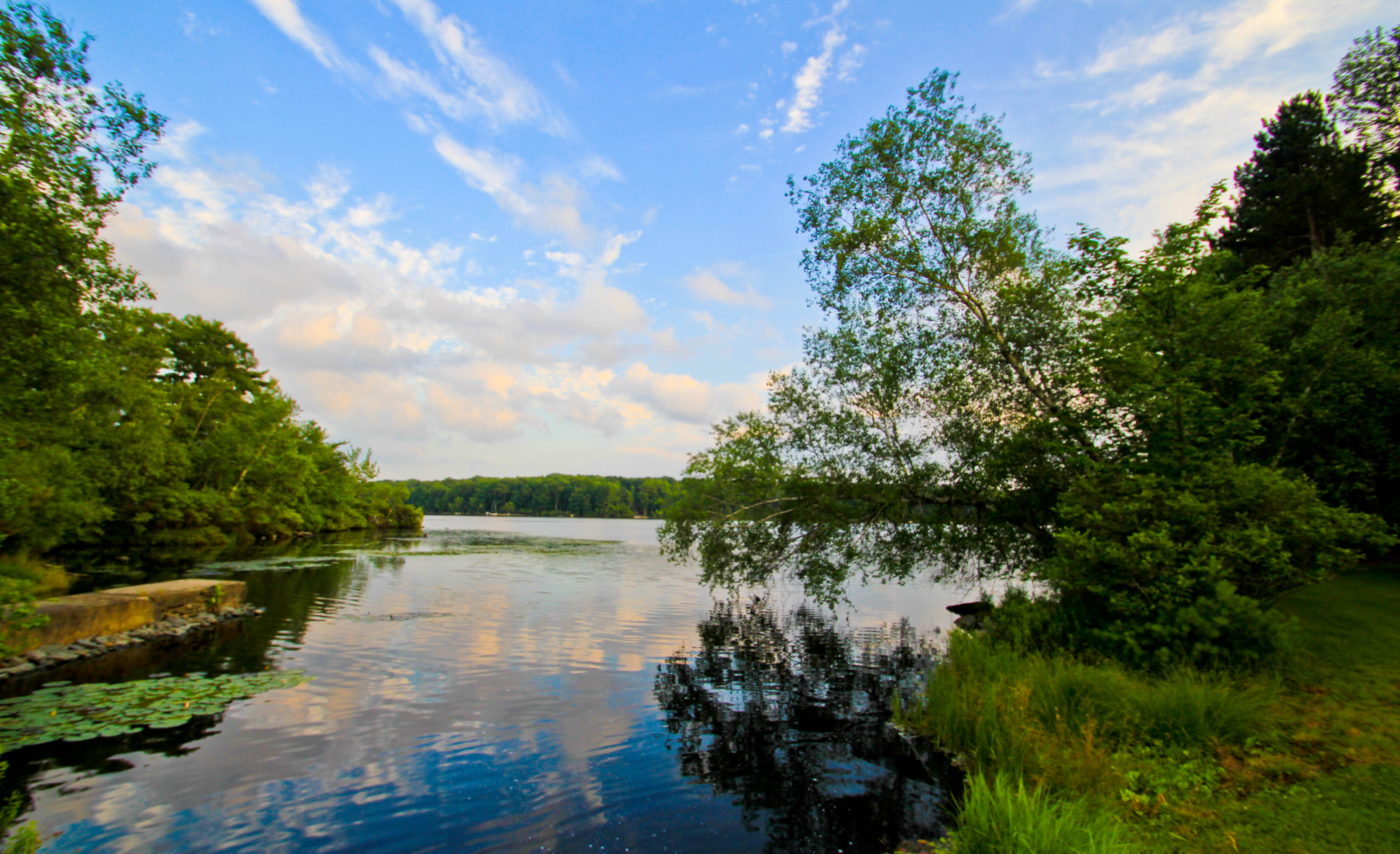
Freedom To Flow
The view from my cousin's new house
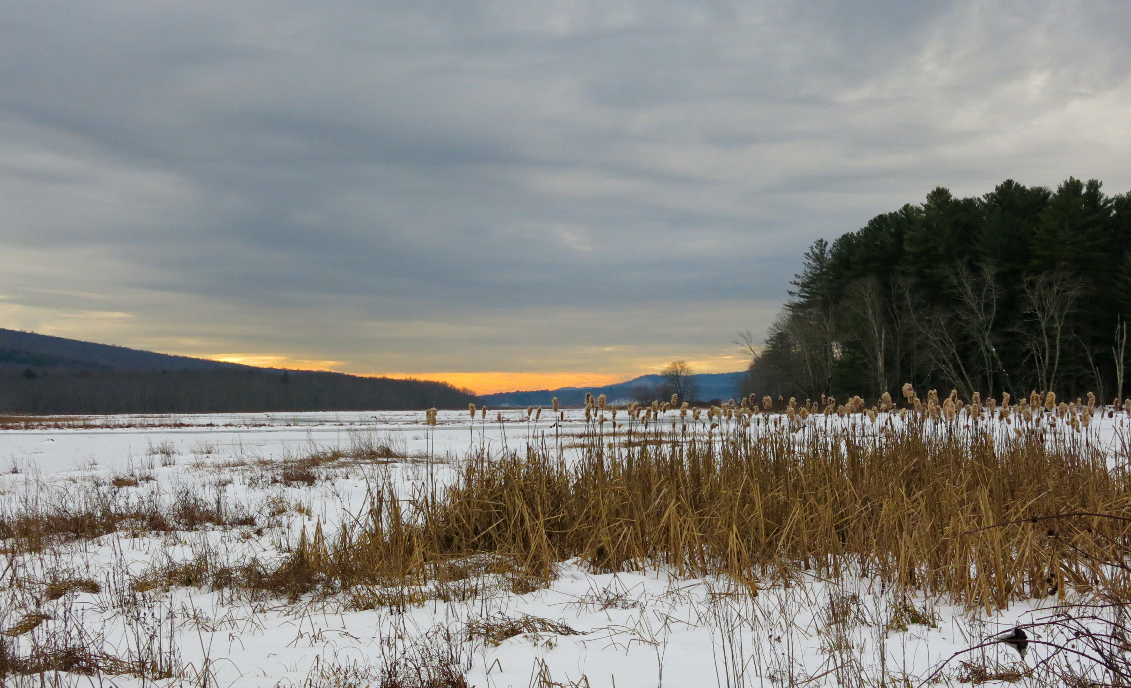
Bashakill Snowscape

Do Not Touch My Olds

NY State Route97-1204.jpg
The Hawk's Nest on November 24, 2012

Coal Trestle
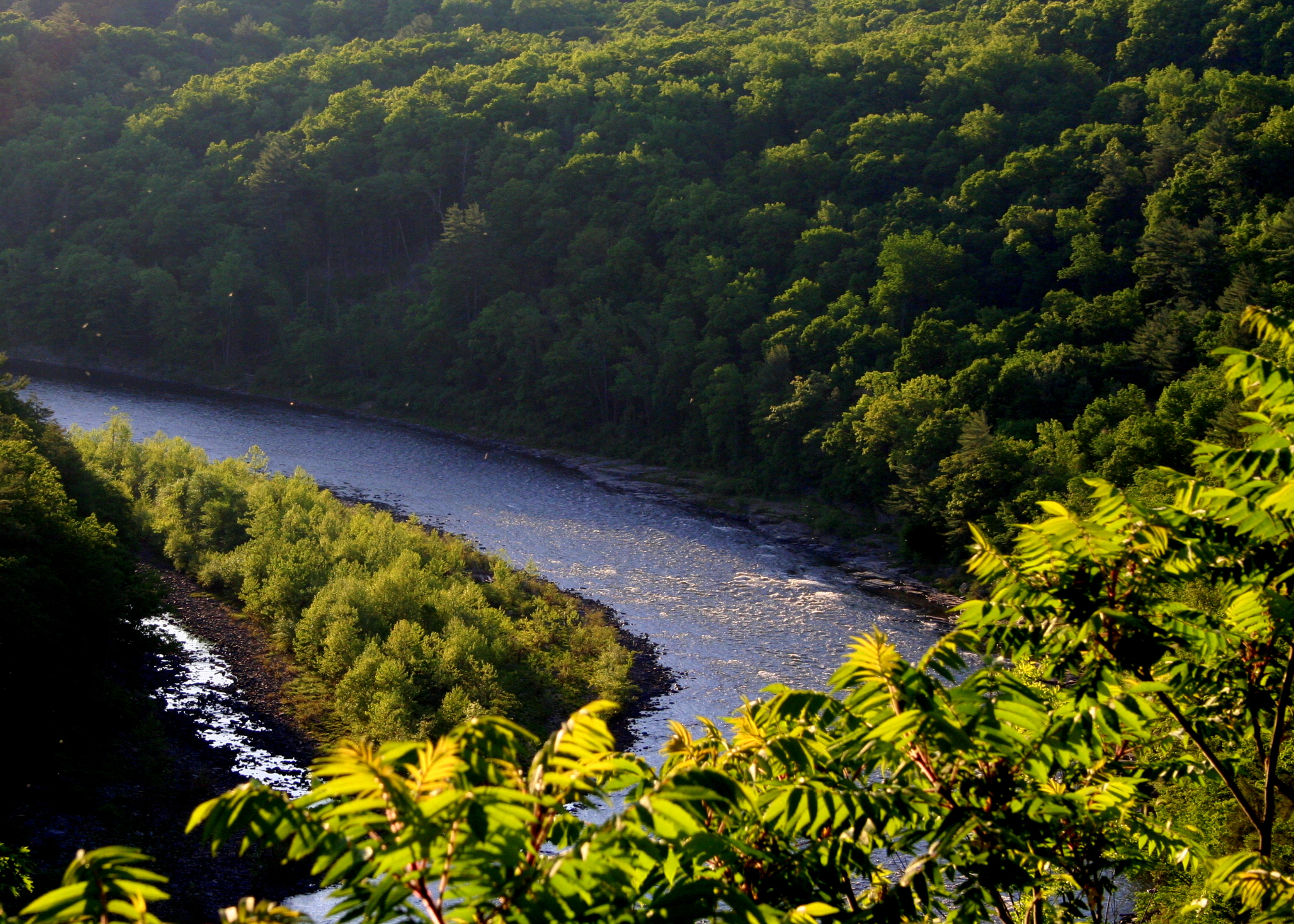
Along the Delaware

D&H Canal

D&H Canal 2
Circleville Park
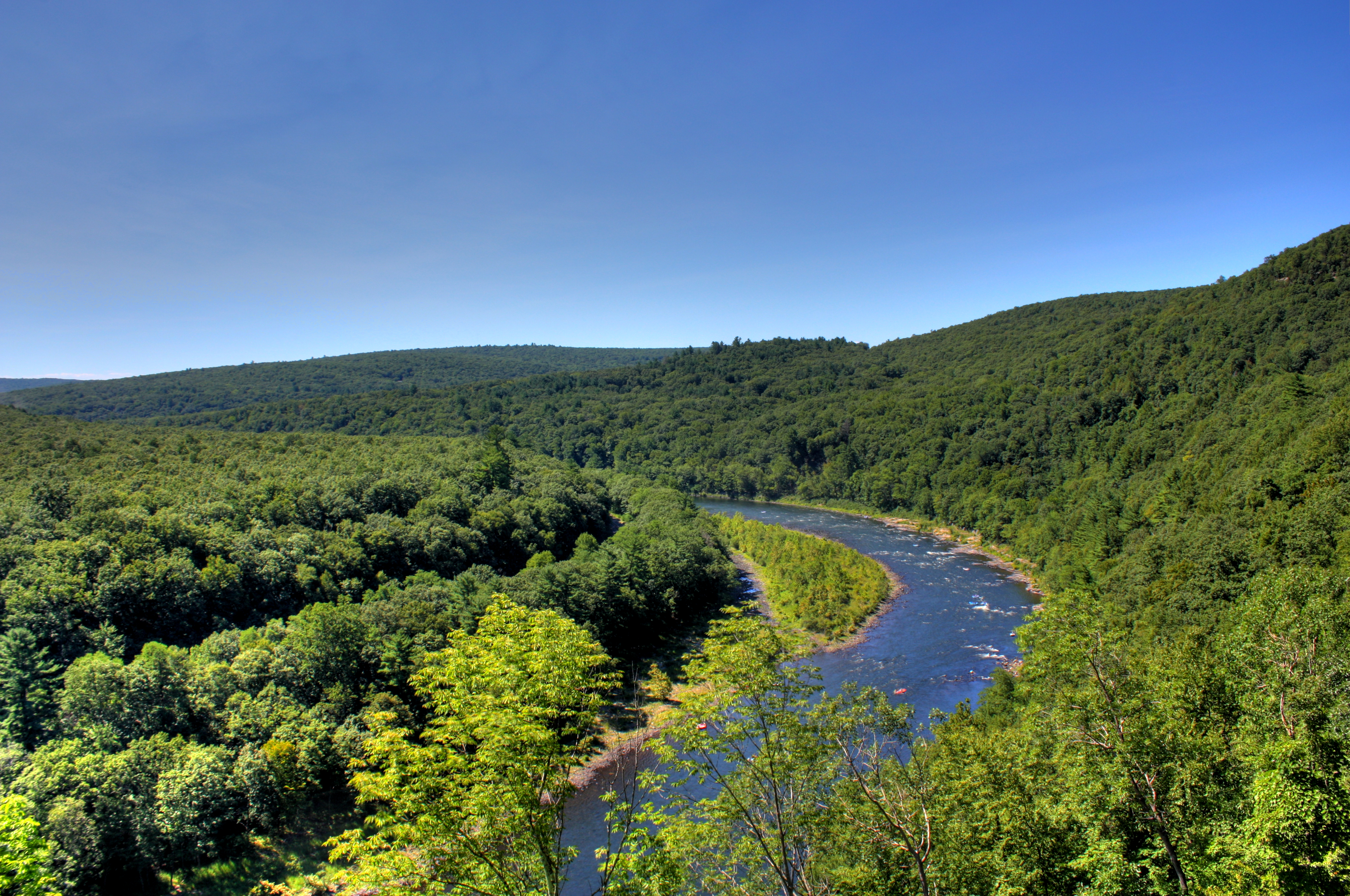
Delaware River
Grass in the woods

A Starry Night @ The Hawk's Nest on November 24, 2012
Old Erie Mainline

DSC_5290.jpg

It's winter up at the lake, hooray!
No filter needed

DSC_5253-BW.jpg

DSC_5253.jpg
Camping (152)
Topographic Map of US-, Cuddebackville, NY, USA
Find elevation by address:

Places near US-, Cuddebackville, NY, USA:
Westbrookville
3 Maple Ln, Westbrookville, NY, USA
WESTBROOKVLLE, NY, USA
8 Kennel Rd
Oakland Valley Rd, Cuddebackville, NY, USA
413 Yankee Lake Rd
Little Road
599 Old Sackett Rd
29 Timber Point Rd
27 Scarborough Cir
17 Bristol Cir
Rock Hill
28 Hemlock Dr
195 Beaver Lake Rd
Forestburgh
Lake Joseph Drive
3 Kukas Rd
198 Bridgeville Rd
Glen Wild
179 Heiden Rd
Recent Searches:
- Elevation of Corso Fratelli Cairoli, 35, Macerata MC, Italy
- Elevation of Tallevast Rd, Sarasota, FL, USA
- Elevation of 4th St E, Sonoma, CA, USA
- Elevation of Black Hollow Rd, Pennsdale, PA, USA
- Elevation of Oakland Ave, Williamsport, PA, USA
- Elevation of Pedrógão Grande, Portugal
- Elevation of Klee Dr, Martinsburg, WV, USA
- Elevation of Via Roma, Pieranica CR, Italy
- Elevation of Tavkvetili Mountain, Georgia
- Elevation of Hartfords Bluff Cir, Mt Pleasant, SC, USA