Elevation of US-, Clayton, LA, USA
Location: United States > Louisiana > Catahoula Parish >
Longitude: -91.579875
Latitude: 31.7930775
Elevation: 20m / 66feet
Barometric Pressure: 101KPa
Elevation Map:
Satellite Map:
Related Photos:
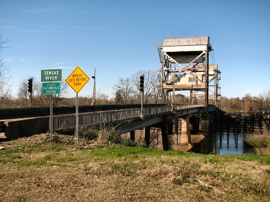
Tensas River-Side View
Tensas Bridge-Side View

Lake St John
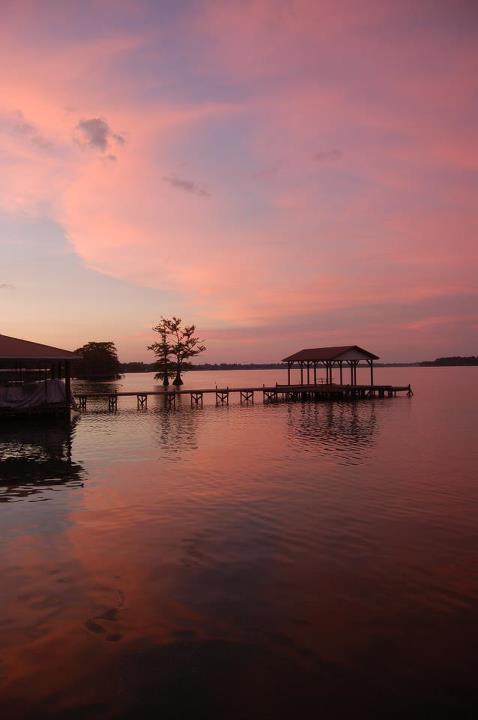
Sunset @ Lake St. John

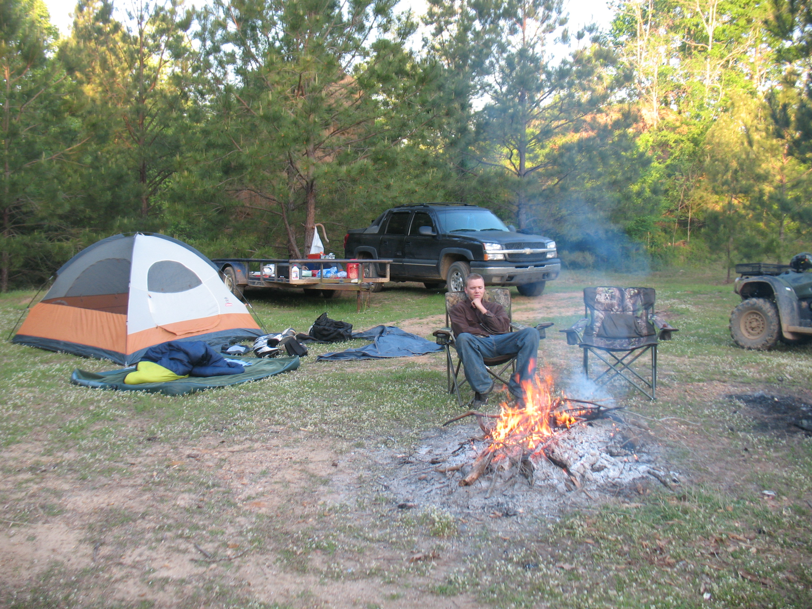
Scott - Cool morning camping at Sicily Island Louisiana

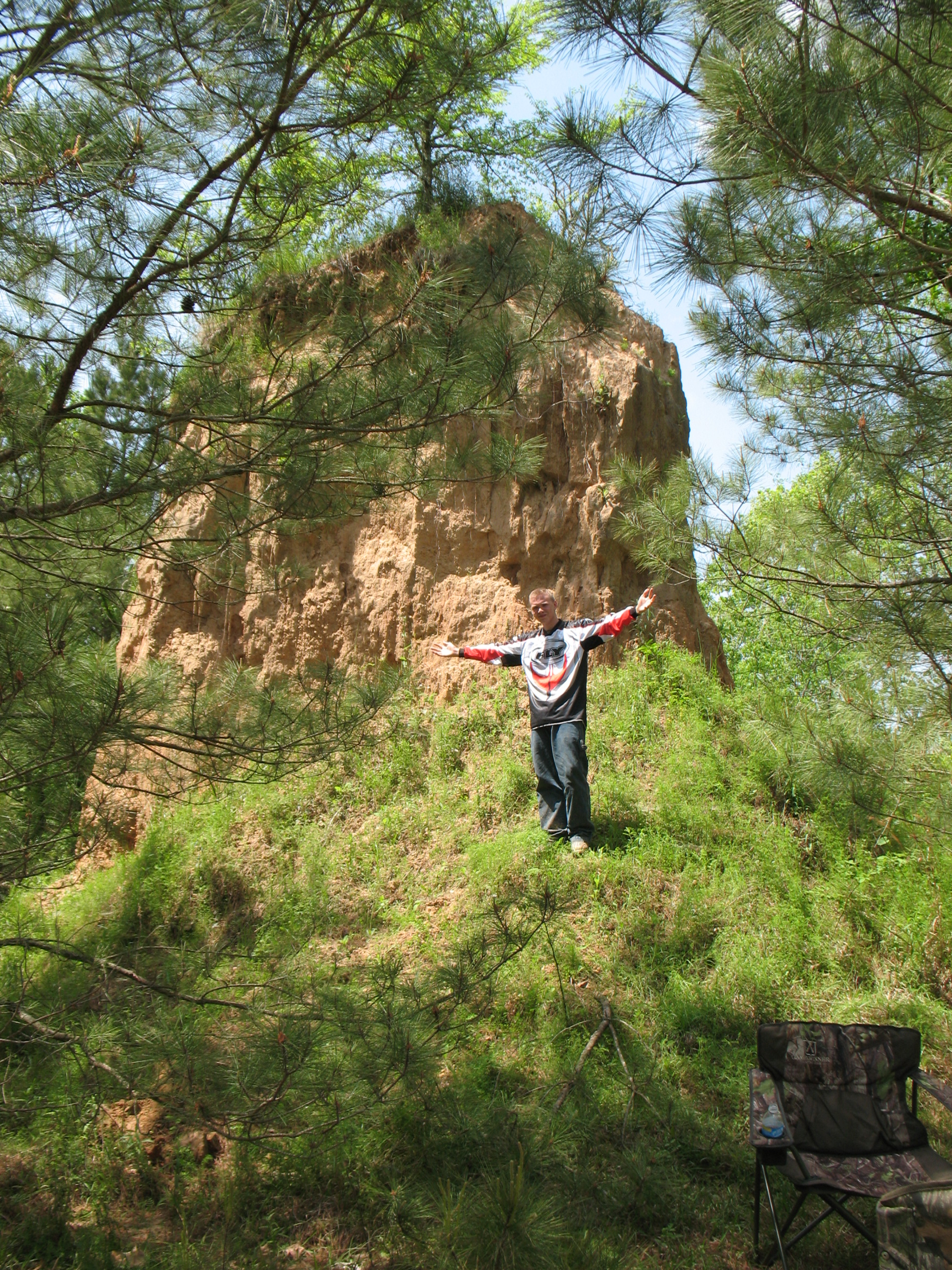
David at the Sand hill Sicley Island

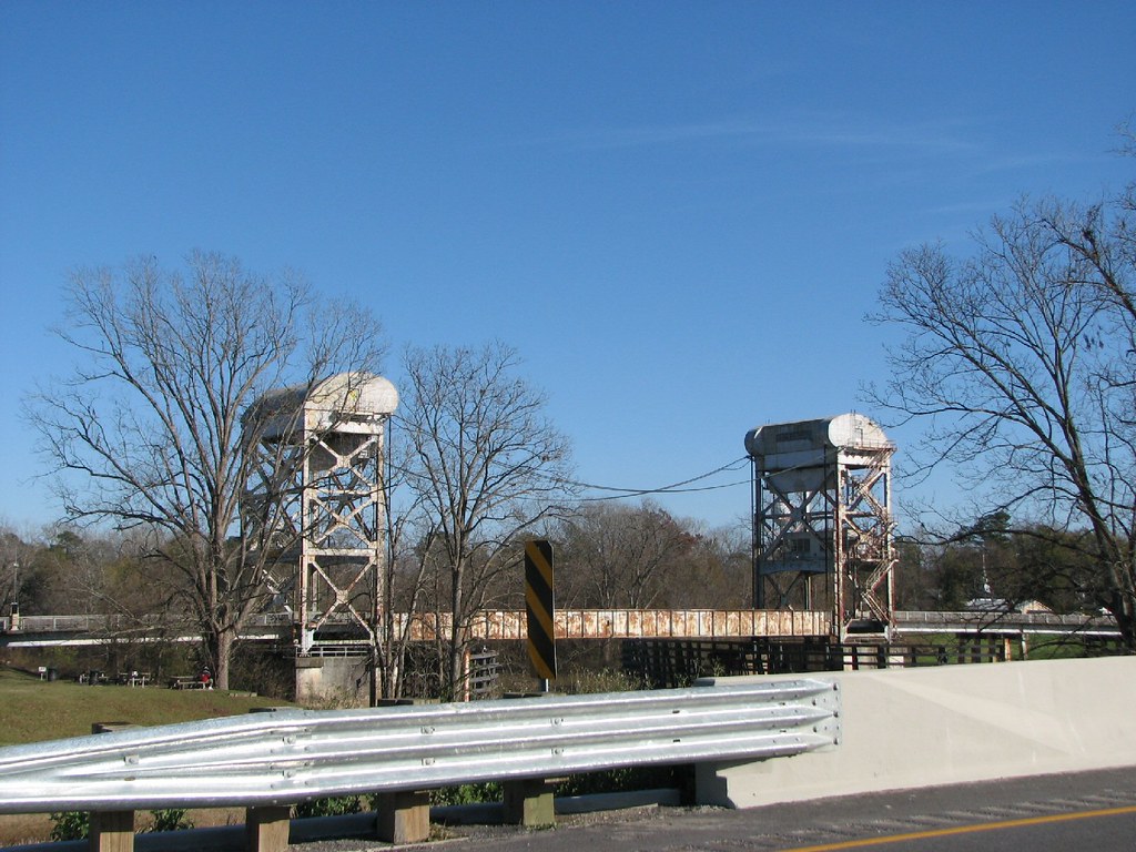
Draw Bridge
David @ Sicily Island
David camping at Sicley Island

Paul @ Sicley Island

David @ Sicley Island - cool
Topographic Map of US-, Clayton, LA, USA
Find elevation by address:

Places near US-, Clayton, LA, USA:
LA-, Waterproof, LA, USA
2537 Par Rd 5a 59
6, LA, USA
132 Luneau Rd
1315 Doty Rd
1279 Doty Rd
1279 Doty Rd
5a
1763 State Rte 568
1763 State Rte 568
State Rte, Waterproof, LA, USA
721 Doty Rd
660 Doty Rd
West Ferriday
1, LA, USA
Ferriday
Louisiana Ave, Ferriday, LA, USA
Ridgecrest
116 Grape St
214 Magnolia St
Recent Searches:
- Elevation of Corso Fratelli Cairoli, 35, Macerata MC, Italy
- Elevation of Tallevast Rd, Sarasota, FL, USA
- Elevation of 4th St E, Sonoma, CA, USA
- Elevation of Black Hollow Rd, Pennsdale, PA, USA
- Elevation of Oakland Ave, Williamsport, PA, USA
- Elevation of Pedrógão Grande, Portugal
- Elevation of Klee Dr, Martinsburg, WV, USA
- Elevation of Via Roma, Pieranica CR, Italy
- Elevation of Tavkvetili Mountain, Georgia
- Elevation of Hartfords Bluff Cir, Mt Pleasant, SC, USA