Elevation of US-, Bronte, TX, USA
Location: United States > Texas > Coke County > Bronte >
Longitude: -100.27800
Latitude: 31.9994007
Elevation: 637m / 2090feet
Barometric Pressure: 94KPa
Elevation Map:
Satellite Map:
Related Photos:

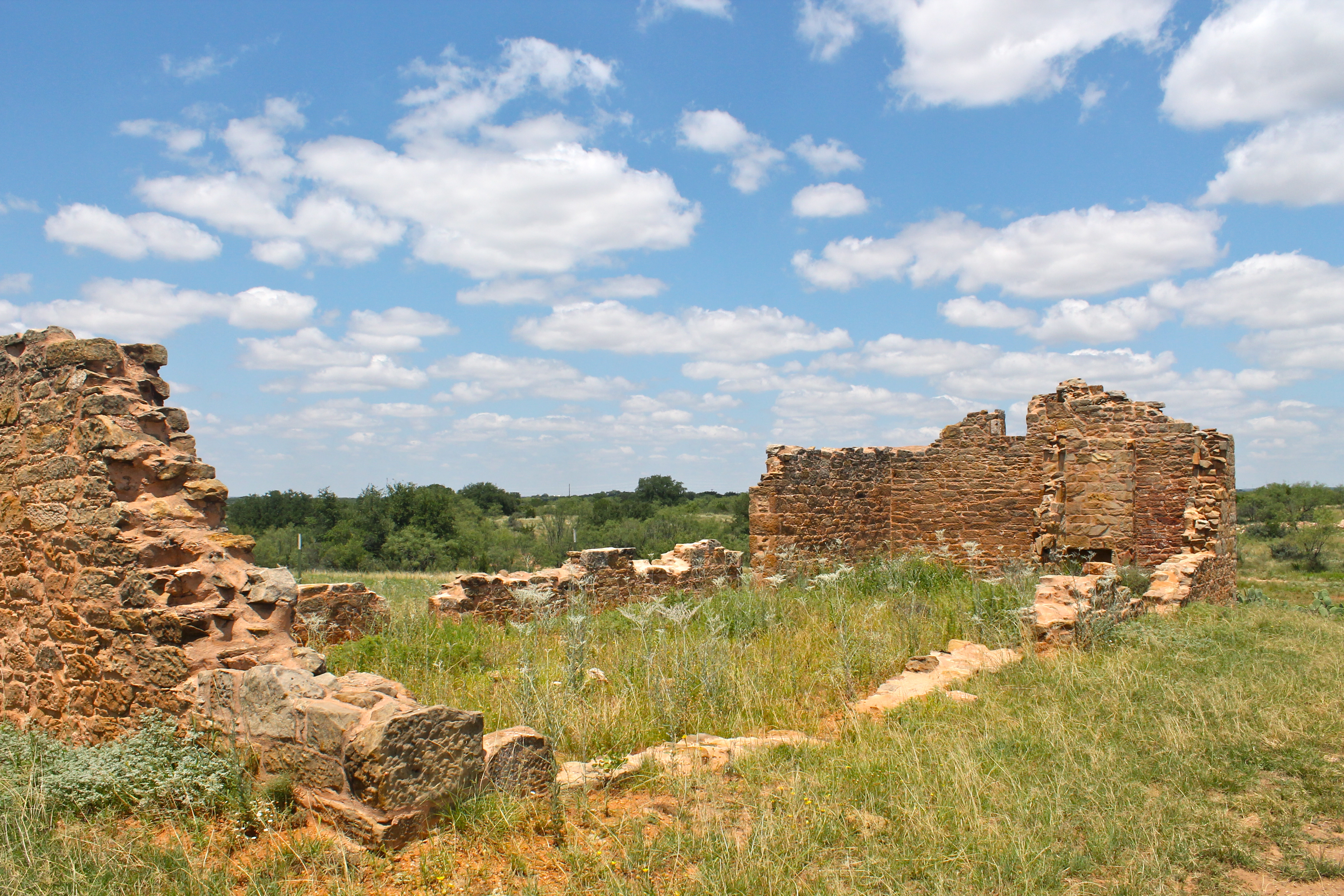
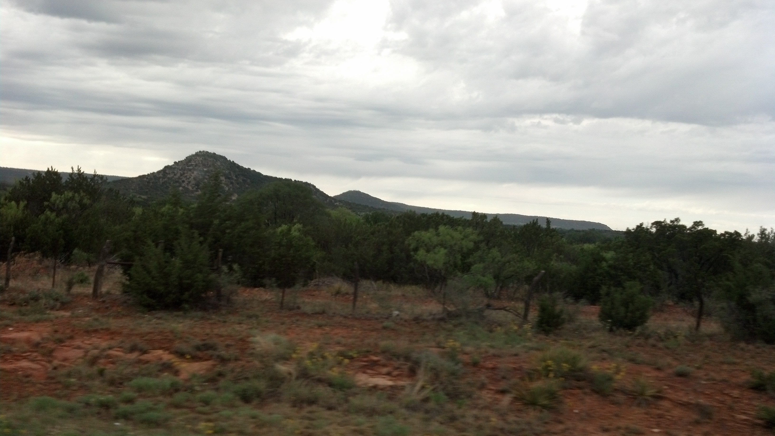
snake country

About ten miles west of the center most point of Texas.
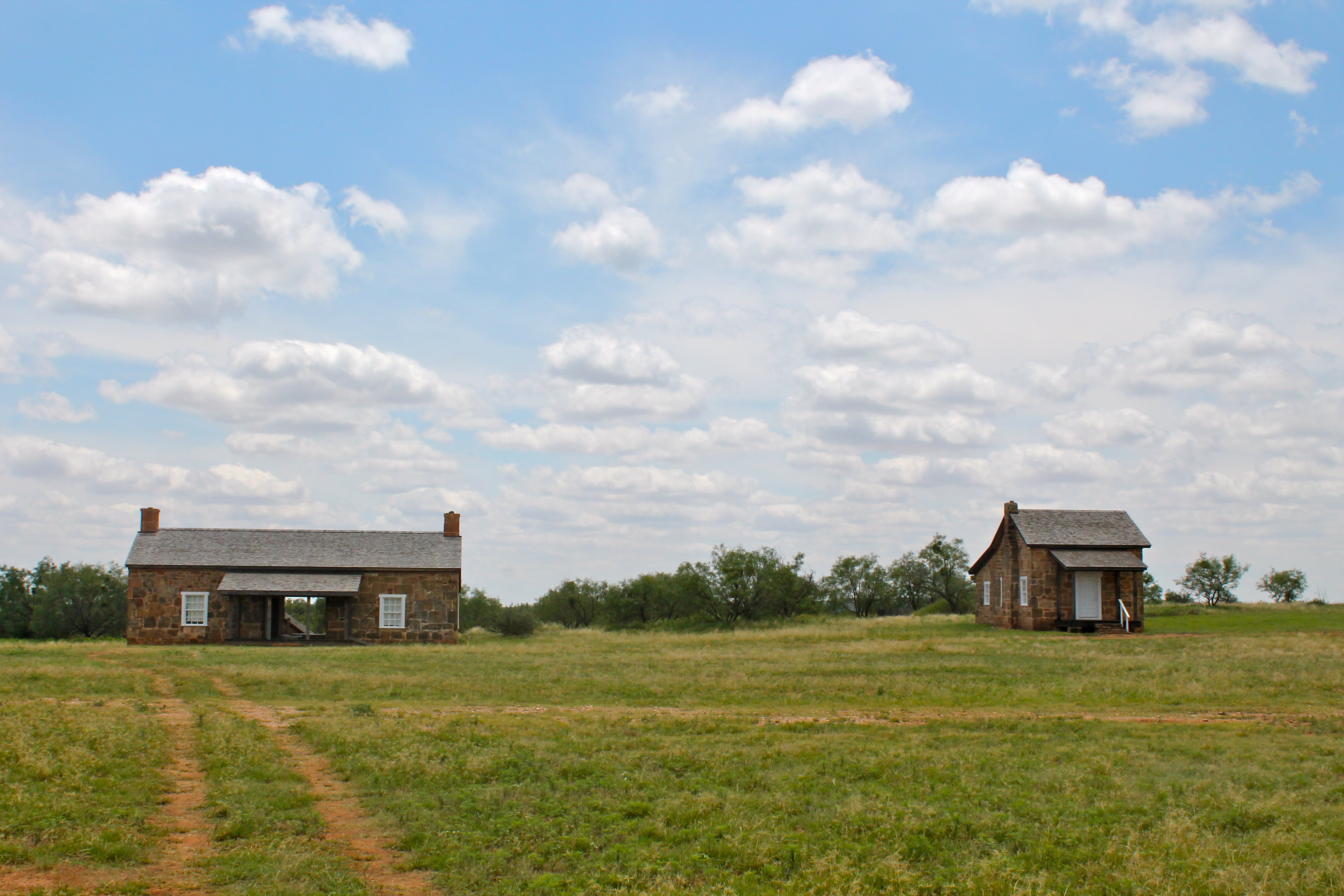
Officer's Quarters
Hospital Building
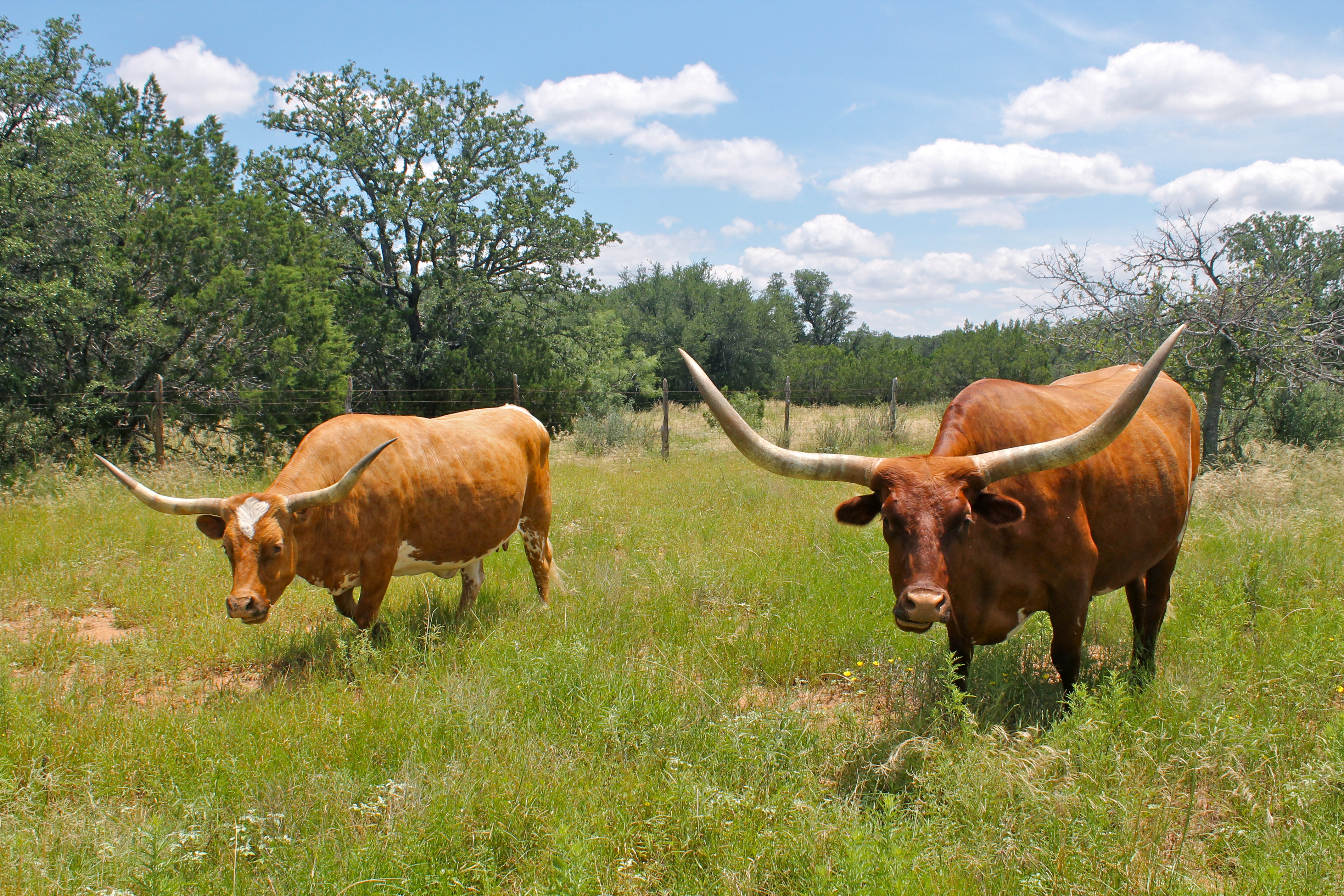
Texas Longhorn Cattle
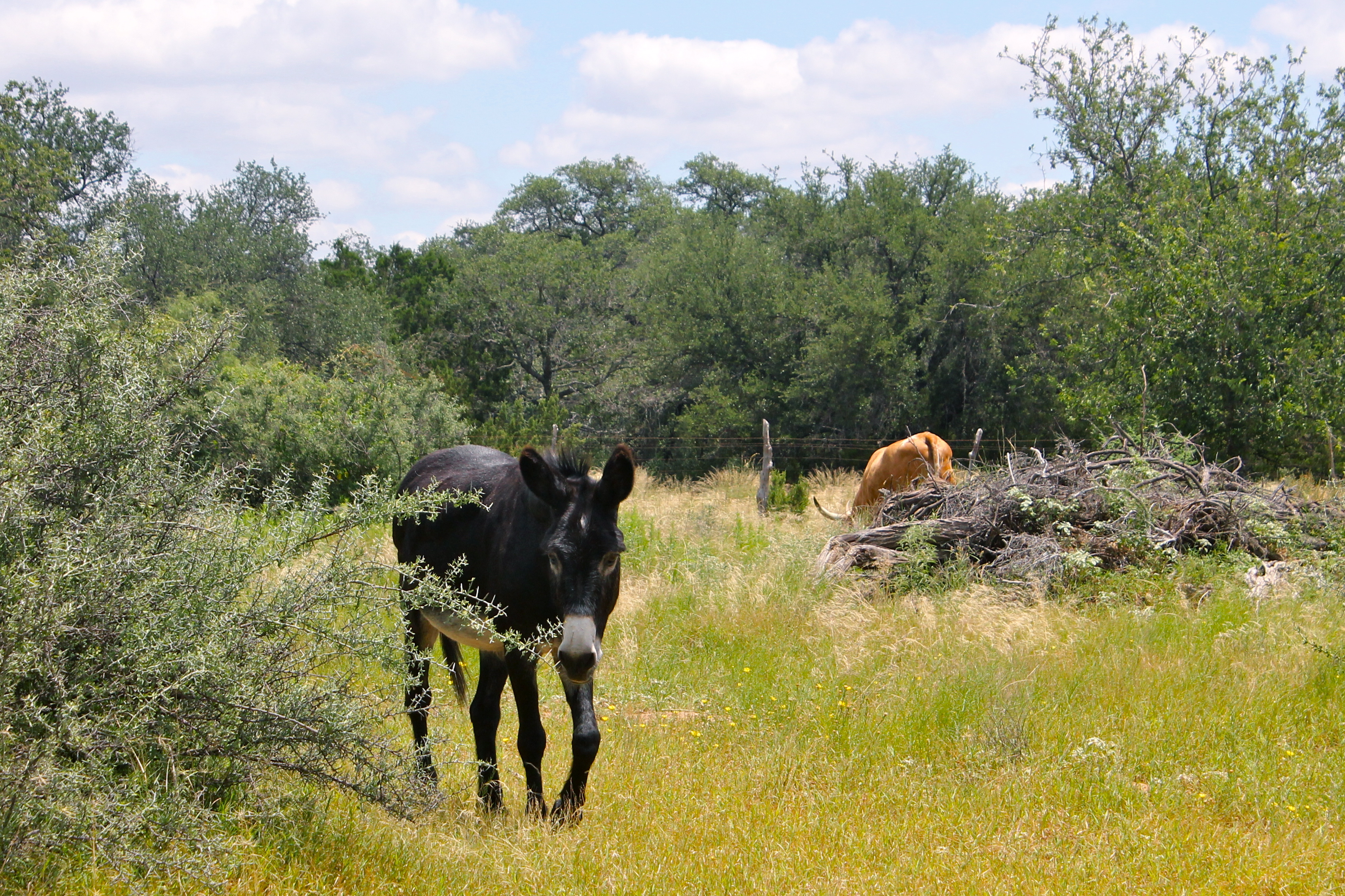
Black Mule
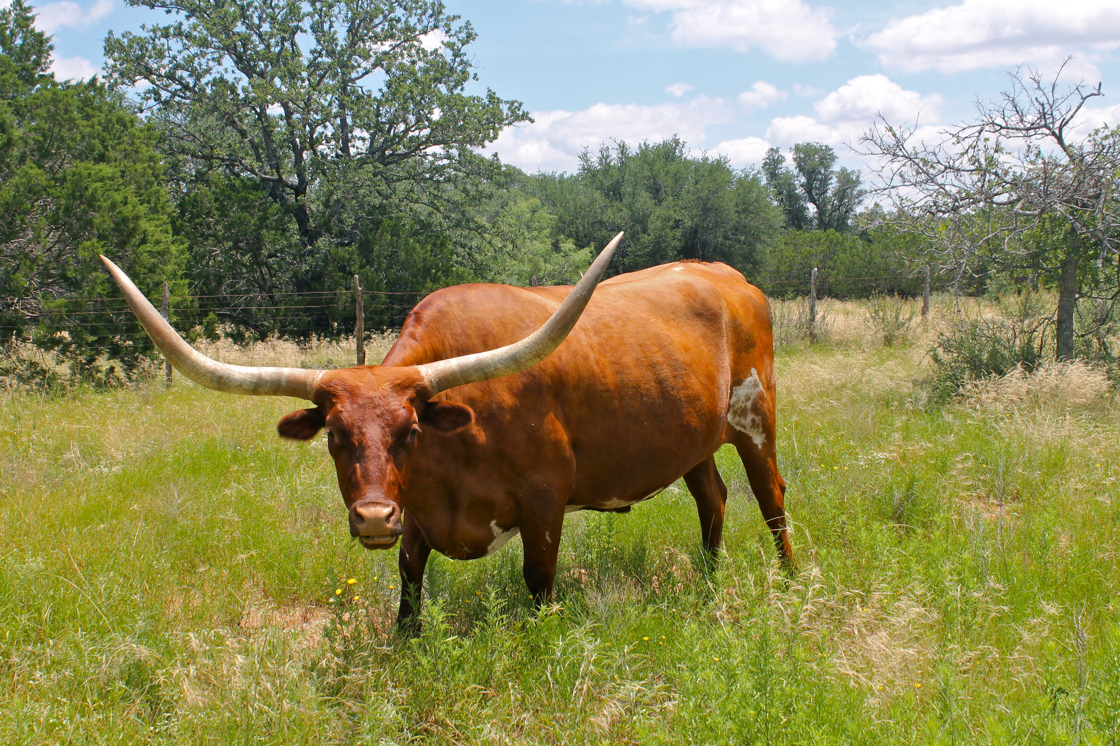
Texas Longhorn Cow
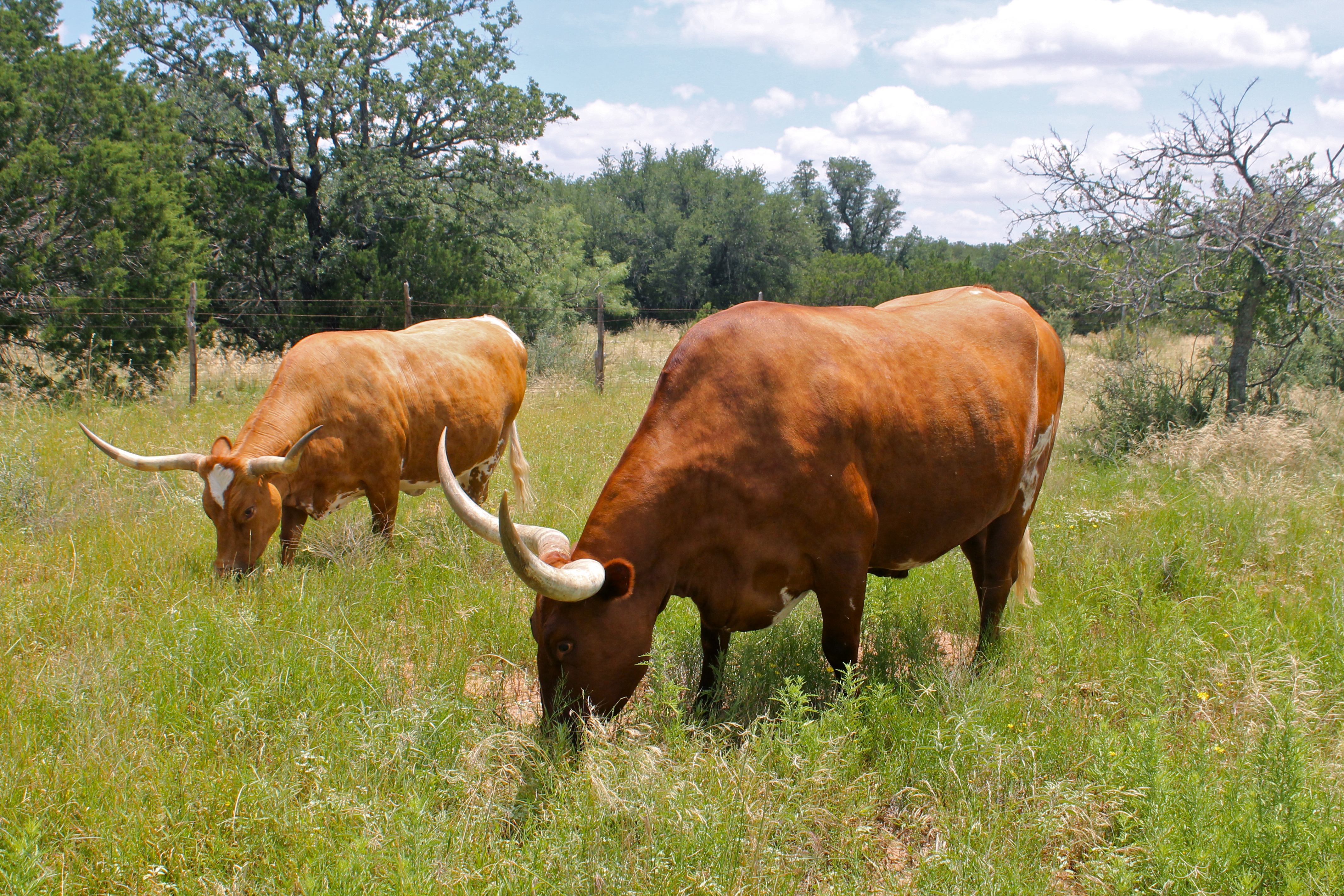
Texas Longhorn Cattle
Runnels County, Texas
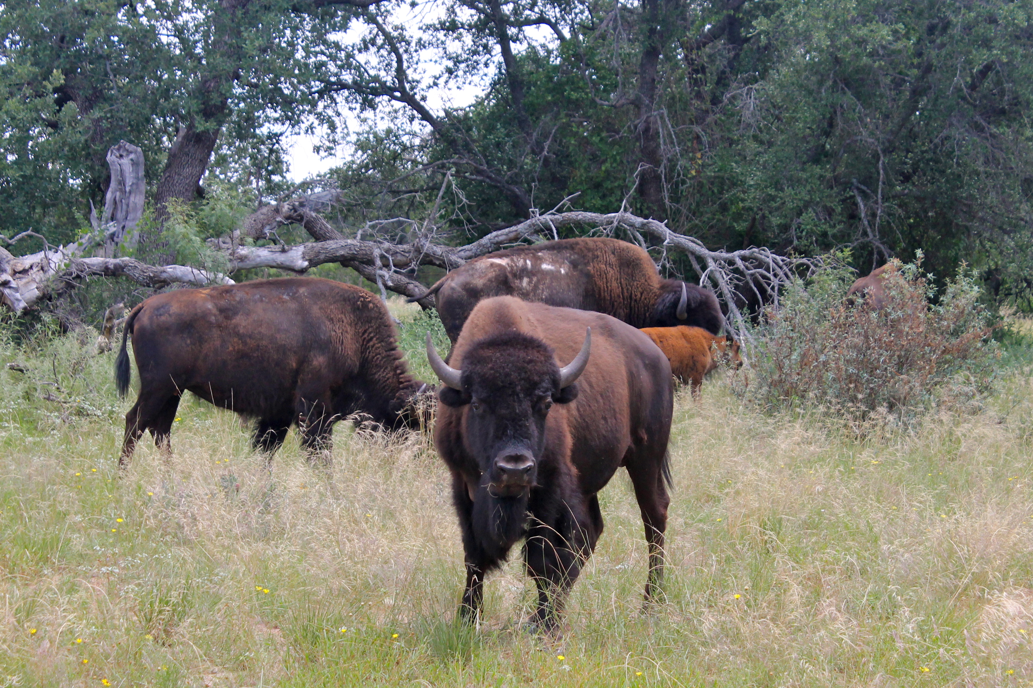
Buffalo Herd
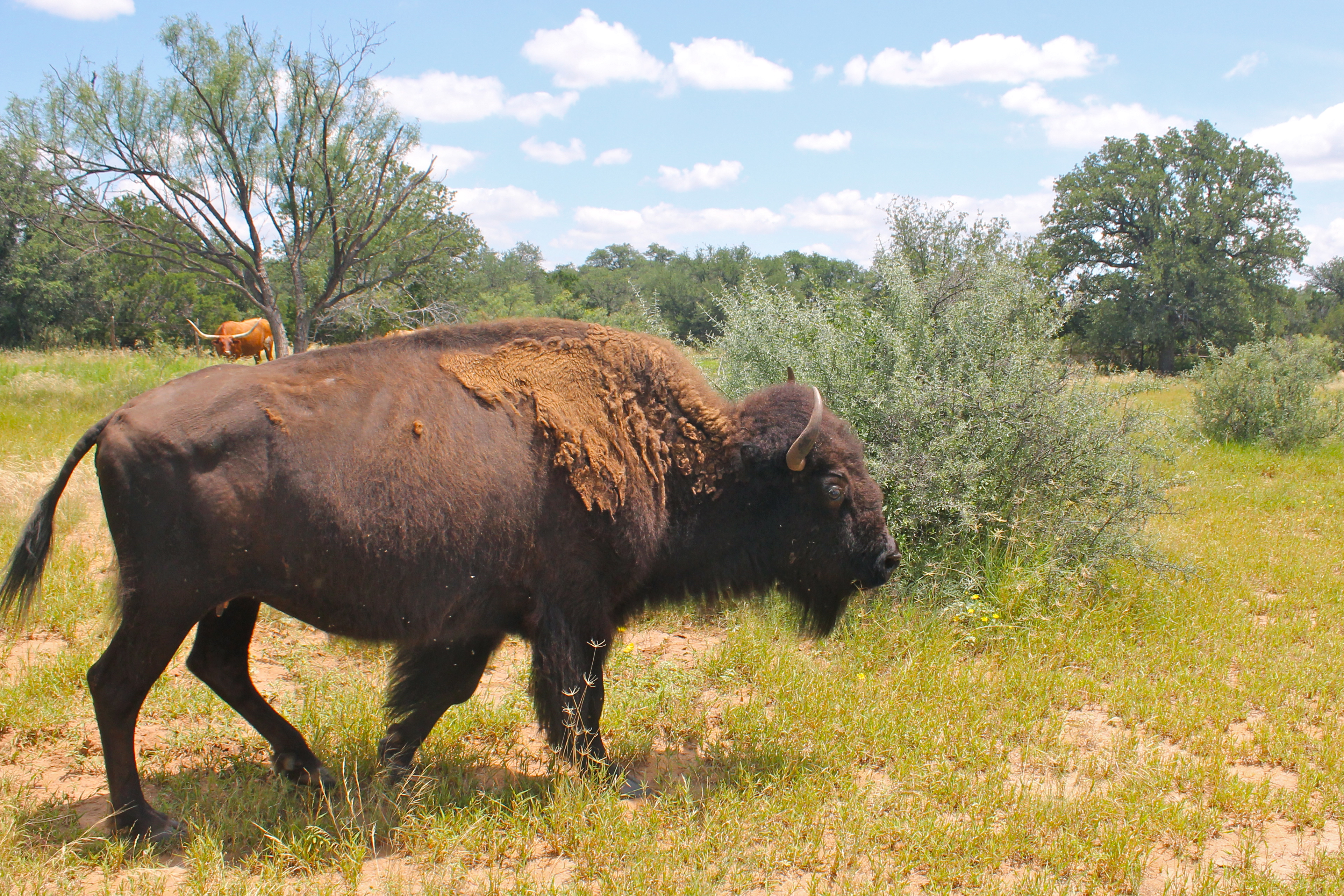
Buffalo Cow
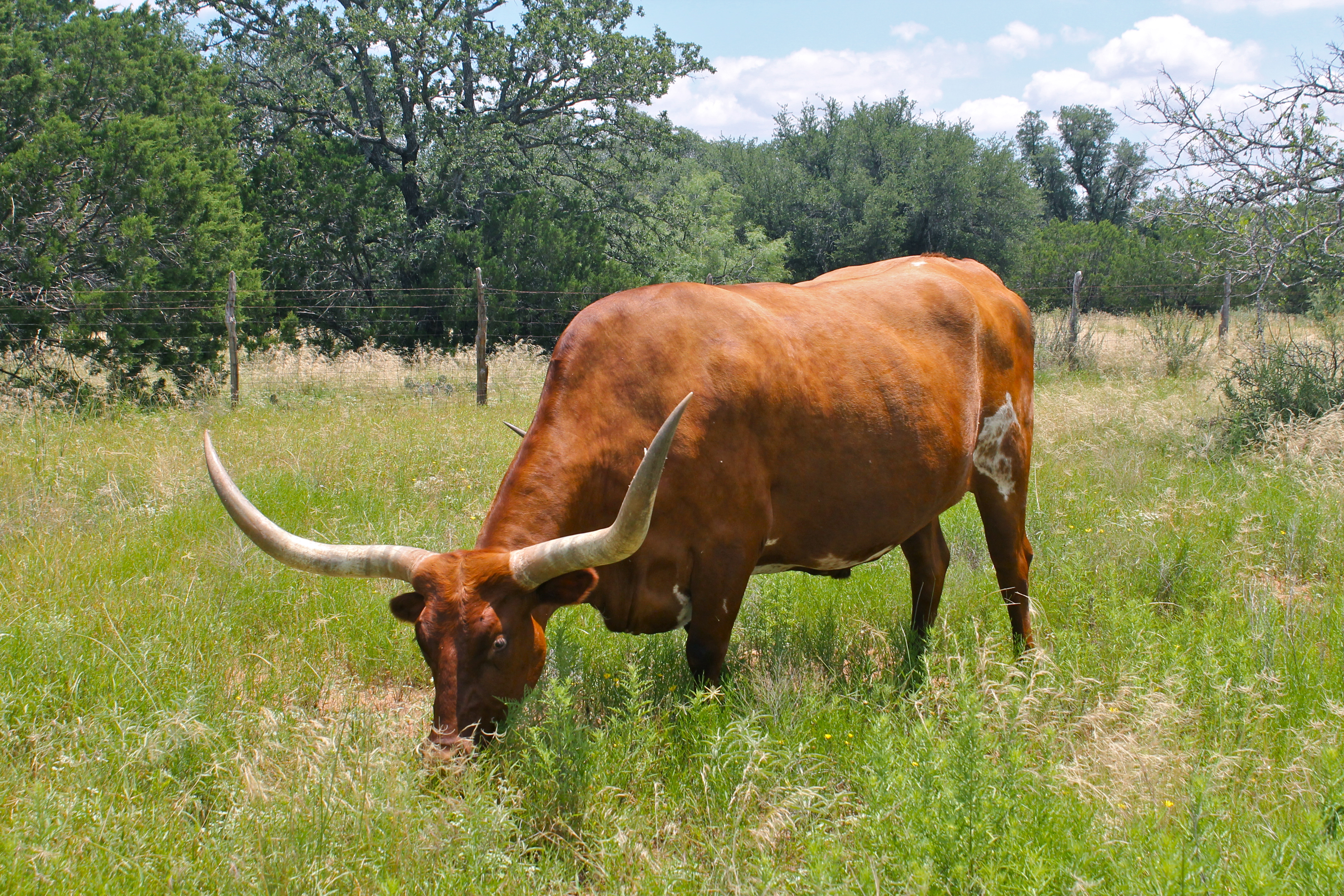
Texas Longhorn Cow
Topographic Map of US-, Bronte, TX, USA
Find elevation by address:

Places near US-, Bronte, TX, USA:
Blackwell
Bronte
Wingate
FM, Wingate, TX, USA
Robert Lee
Sanco
County Road
310 County Rd 231
Nolan
Maryneal
Coke County
FM, Winters, TX, USA
Runnels County
Winters
Edith
Texas
Miles
Parsons Heating And Air, Inc.
Ballinger
8269 Runion Rd
Recent Searches:
- Elevation of Corso Fratelli Cairoli, 35, Macerata MC, Italy
- Elevation of Tallevast Rd, Sarasota, FL, USA
- Elevation of 4th St E, Sonoma, CA, USA
- Elevation of Black Hollow Rd, Pennsdale, PA, USA
- Elevation of Oakland Ave, Williamsport, PA, USA
- Elevation of Pedrógão Grande, Portugal
- Elevation of Klee Dr, Martinsburg, WV, USA
- Elevation of Via Roma, Pieranica CR, Italy
- Elevation of Tavkvetili Mountain, Georgia
- Elevation of Hartfords Bluff Cir, Mt Pleasant, SC, USA