Elevation of US-, Ardmore, OK, USA
Location: United States > Oklahoma > Carter County > Ardmore >
Longitude: -96.968235
Latitude: 34.2693364
Elevation: 218m / 715feet
Barometric Pressure: 99KPa
Elevation Map:
Satellite Map:
Related Photos:
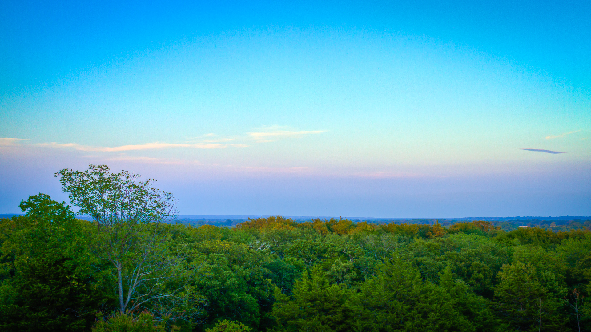
Shiloh Morning Sunset

The Kia isn't 4x4 but she's does great on flat grass during #roadtrip #oklahoma

colors?

cattails again

sunset moon

foggy pathway
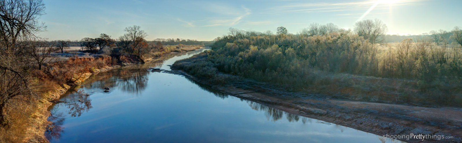
River in Dickson, OK
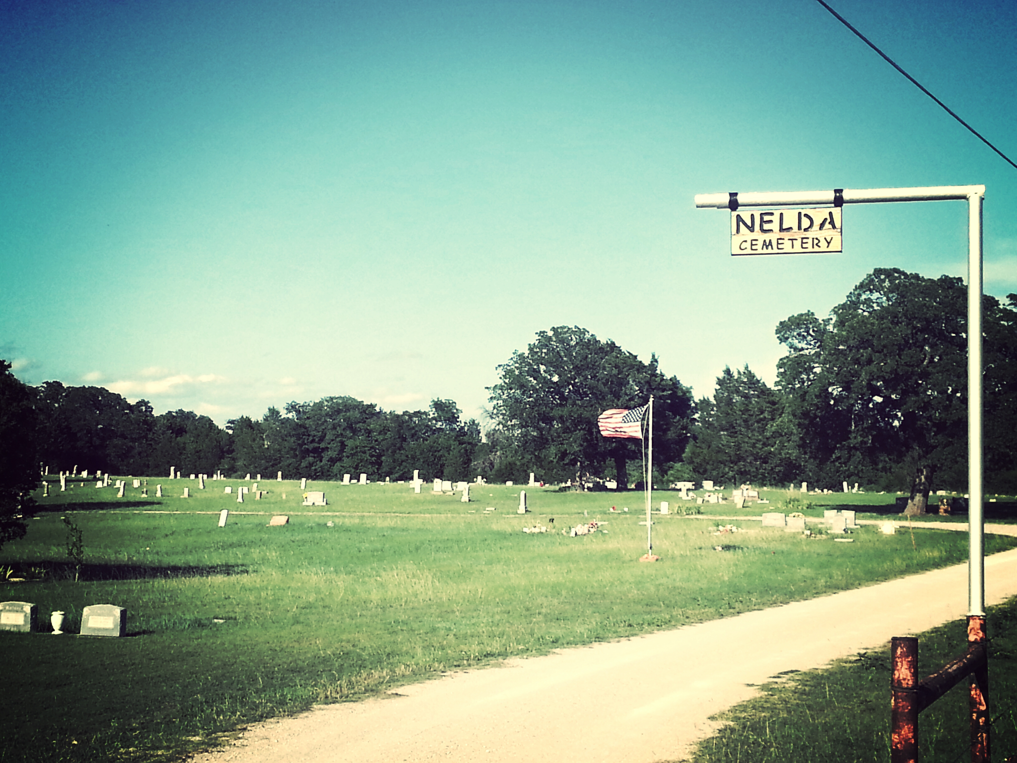
Nelda Cemetery too

big sky

olivia in field

olivia and...

big sky lake

cattails close
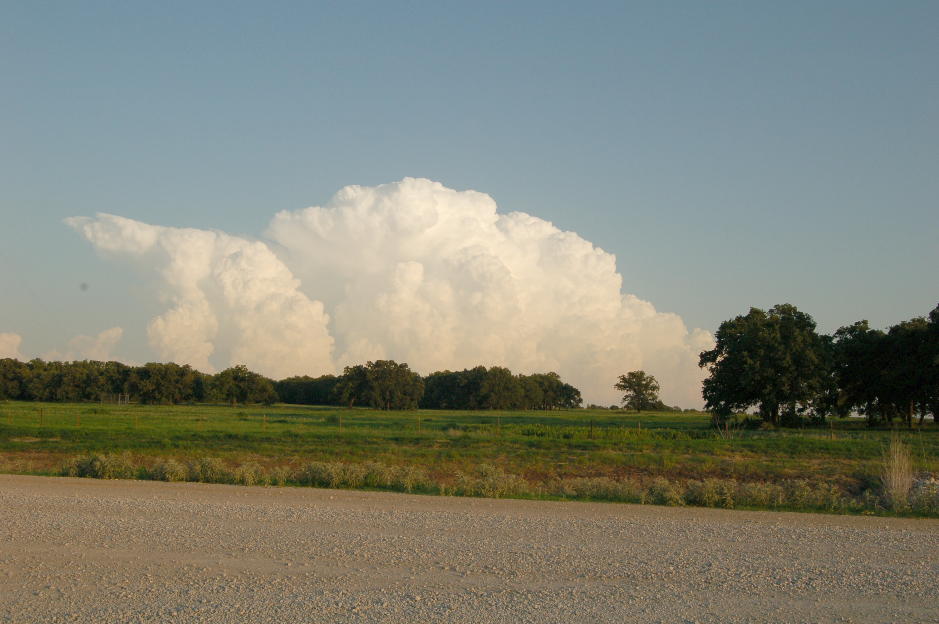
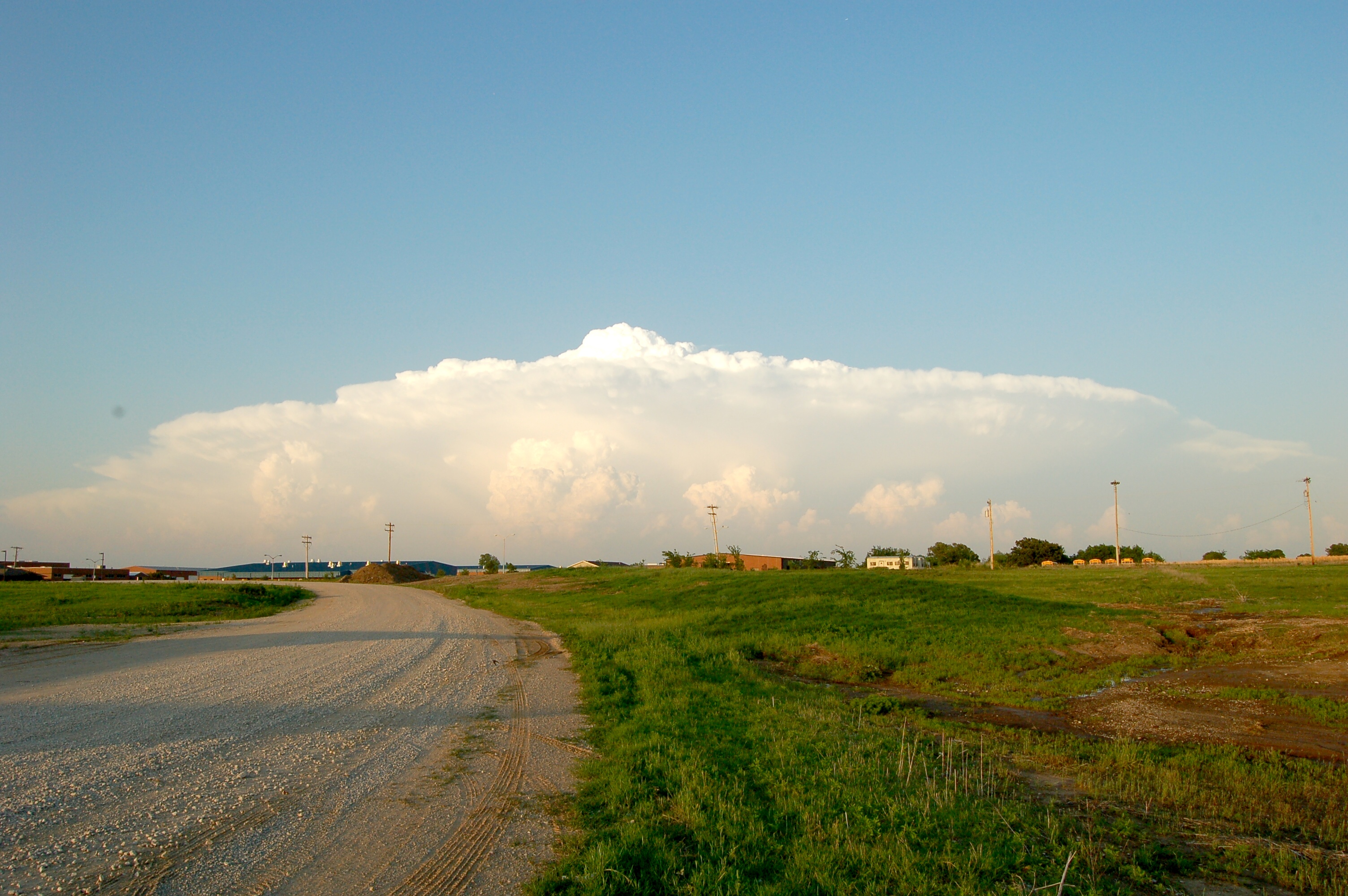
Noble Clouds #1

flower in her hair

lilly pads
Noble Clouds #3

sun break

Family Gathering 12/31/13

frozen lake

girl, tree, sky, sun
Topographic Map of US-, Ardmore, OK, USA
Find elevation by address:

Places near US-, Ardmore, OK, USA:
199 Buckhorn Rd
Lake Of The Arbuckles
Cedar Blue Property Owners
914 County Redbud
Bromide Hill
Melvin Douglas Road
Melvin Douglas Road
Sulphur
Inca Head Start
1224 E 3rd St
777 Redbud Rd
2379 N3370 Rd
Madill
S 1st St, Madill, OK, USA
1297 Smiley Rd
1041 S 1st St
Tishomingo
504 E 20th St
Dr. Kayla Muszynski, Dds
806 E 8th St
Recent Searches:
- Elevation of Corso Fratelli Cairoli, 35, Macerata MC, Italy
- Elevation of Tallevast Rd, Sarasota, FL, USA
- Elevation of 4th St E, Sonoma, CA, USA
- Elevation of Black Hollow Rd, Pennsdale, PA, USA
- Elevation of Oakland Ave, Williamsport, PA, USA
- Elevation of Pedrógão Grande, Portugal
- Elevation of Klee Dr, Martinsburg, WV, USA
- Elevation of Via Roma, Pieranica CR, Italy
- Elevation of Tavkvetili Mountain, Georgia
- Elevation of Hartfords Bluff Cir, Mt Pleasant, SC, USA