Elevation of US-70, Durant, OK, USA
Location: United States > Oklahoma > Bryan County > Durant >
Longitude: -96.4485249
Latitude: 33.9977908
Elevation: 218m / 715feet
Barometric Pressure: 0KPa
Related Photos:
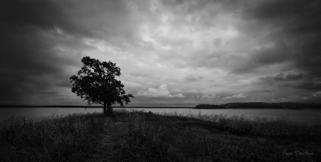
Lake Texoma, Oklahoma.

REAR OF FAGEOL VAN
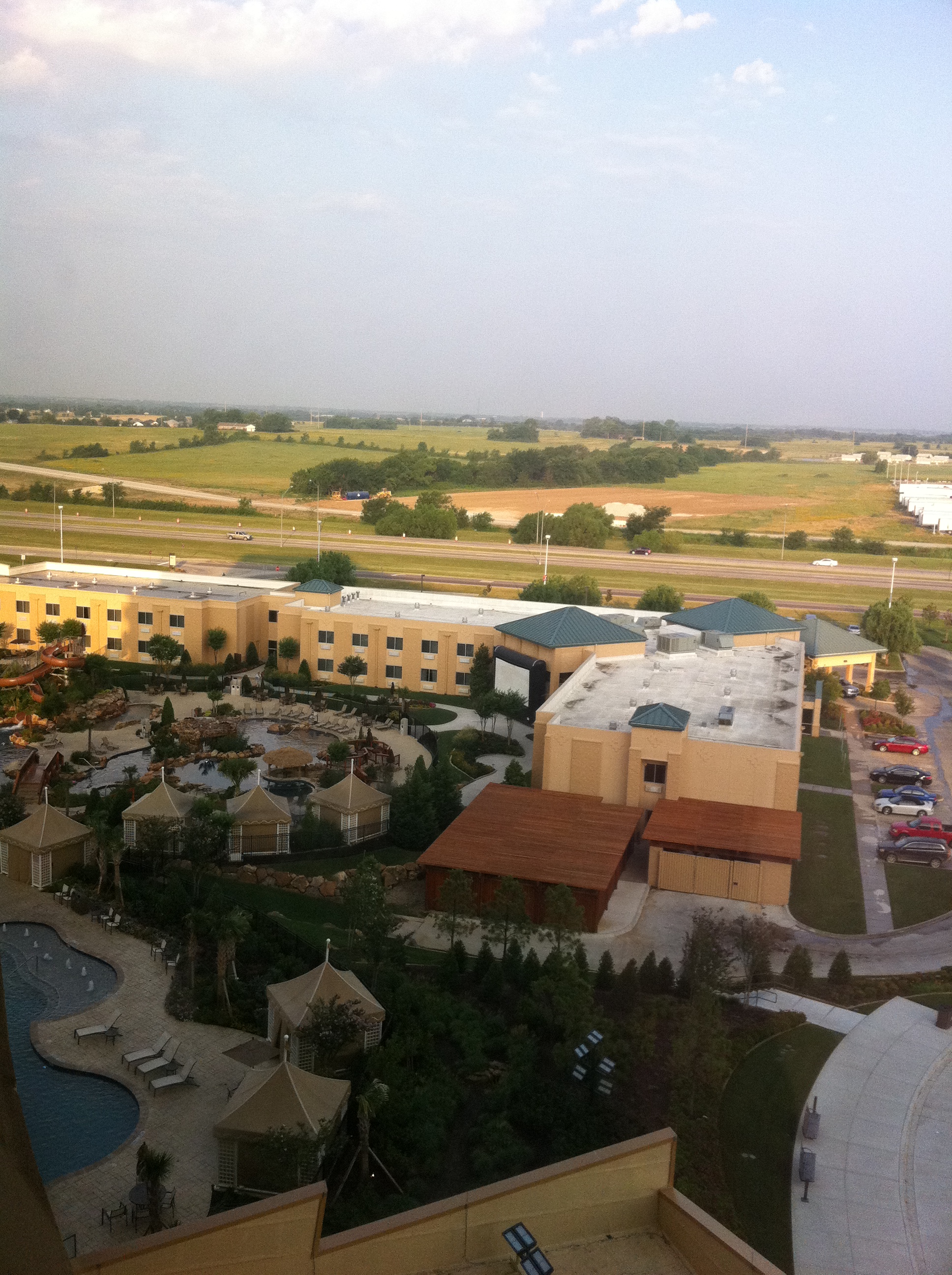
Choctaw Casino and Resort, 05-06 June 2011. A fun mini-vacation to Choctaw Casino in Durant! It was a great, relaxing weekend! The view from the 8th floor!

Waters Of Kindness

Water Feature

Oklahoma wilderness

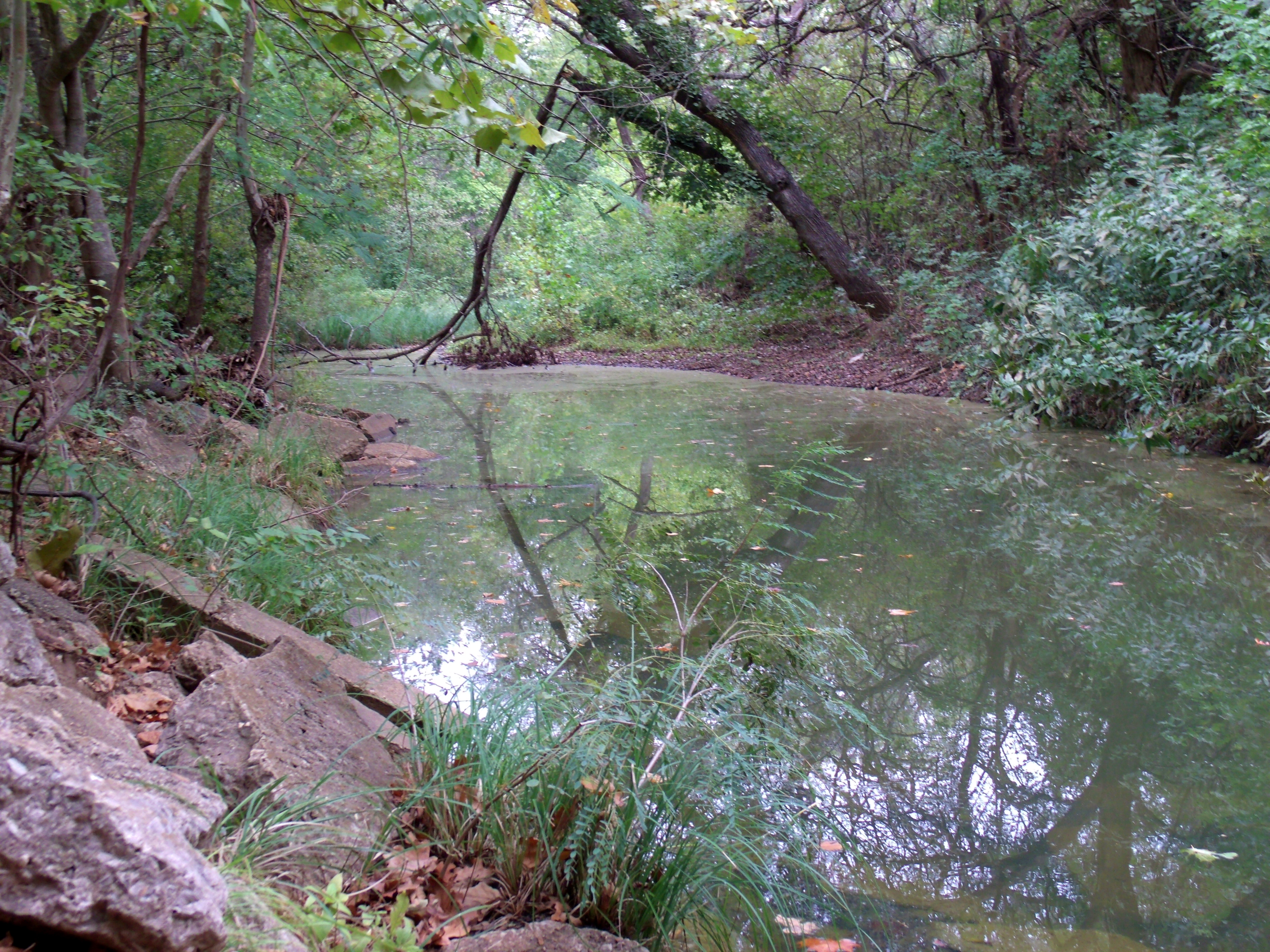
Rushing creek

Lake Texoma
TRIANGULAR BRANCH

Making a mountain out of a molehill

Lake Texoma

Purple Glory 1

Spring Has Arrived 2

Dirty Dandelion 2

Unfamiliar Shore

i was a landscape
Topographic Map of US-70, Durant, OK, USA
Find elevation by address:

Places near US-70, Durant, OK, USA:
10028 Us-70
10028 Us-70
Rd, Durant, OK, USA
Brookhaven
498 Crestview Ln
3011 Kande Ln
Durant
Calera
802 W University Blvd
The Jubilation House
NE 2nd Ave, Durant, OK, USA
Scott St, Durant, OK, USA
Newberry Creek Resort & Marina
W Main St, Durant, OK, USA
62 S Katy Dr, Mead, OK, USA
Caney Creek Rd, Calera, OK, USA
Colbert
Bryan County
1616 Winnett Rd
1616 N3680 Rd
Recent Searches:
- Elevation map of Greenland, Greenland
- Elevation of Sullivan Hill, New York, New York, 10002, USA
- Elevation of Morehead Road, Withrow Downs, Charlotte, Mecklenburg County, North Carolina, 28262, USA
- Elevation of 2800, Morehead Road, Withrow Downs, Charlotte, Mecklenburg County, North Carolina, 28262, USA
- Elevation of Yangbi Yi Autonomous County, Yunnan, China
- Elevation of Pingpo, Yangbi Yi Autonomous County, Yunnan, China
- Elevation of Mount Malong, Pingpo, Yangbi Yi Autonomous County, Yunnan, China
- Elevation map of Yongping County, Yunnan, China
- Elevation of North 8th Street, Palatka, Putnam County, Florida, 32177, USA
- Elevation of 107, Big Apple Road, East Palatka, Putnam County, Florida, 32131, USA
- Elevation of Jiezi, Chongzhou City, Sichuan, China
- Elevation of Chongzhou City, Sichuan, China
- Elevation of Huaiyuan, Chongzhou City, Sichuan, China
- Elevation of Qingxia, Chengdu, Sichuan, China
- Elevation of Corso Fratelli Cairoli, 35, Macerata MC, Italy
- Elevation of Tallevast Rd, Sarasota, FL, USA
- Elevation of 4th St E, Sonoma, CA, USA
- Elevation of Black Hollow Rd, Pennsdale, PA, USA
- Elevation of Oakland Ave, Williamsport, PA, USA
- Elevation of Pedrógão Grande, Portugal