Elevation of US-29, Brewton, AL, USA
Location: United States > Alabama > Escambia County > Brewton >
Longitude: -86.875553
Latitude: 31.146328
Elevation: 53m / 174feet
Barometric Pressure: 101KPa
Elevation Map:
Satellite Map:
Related Photos:
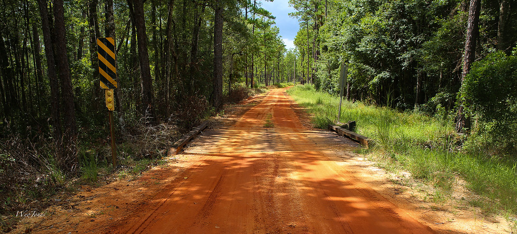
Red Road Bridge
DSC_0223.jpg

DSC_0131.jpg
DSC_0229.jpg
DSC_0238.jpg

DSC_0101.jpg
DSC_0252.jpg
DSC_0251.jpg
_DSC0170.jpg

_DSC0136.jpg
Topographic Map of US-29, Brewton, AL, USA
Find elevation by address:

Places near US-29, Brewton, AL, USA:
Damascus Rd, Brewton, AL, USA
Moffett Ln, Brewton, AL, USA
8 Co Rd 53, Andalusia, AL, USA
Ridge Rd, Brewton, AL, USA
23 Dixie School Rd, Andalusia, AL, USA
Alaflora Rd, Wing, AL, USA
Kirkland Rd, Brewton, AL, USA
Sellersville Rd, Jay, FL, USA
97 Maddox Loop, Brewton, AL, USA
194 Horseshoe Rd
6595 Kirkland Rd
Forrest Ave, Brewton, AL, USA
106 Watson St
Brewton
Riverview
103 Brooks Blvd
748 Williamson St
Castleberry
8300 Mashourn Forks Rd
AL-41, Brewton, AL, USA
Recent Searches:
- Elevation of Corso Fratelli Cairoli, 35, Macerata MC, Italy
- Elevation of Tallevast Rd, Sarasota, FL, USA
- Elevation of 4th St E, Sonoma, CA, USA
- Elevation of Black Hollow Rd, Pennsdale, PA, USA
- Elevation of Oakland Ave, Williamsport, PA, USA
- Elevation of Pedrógão Grande, Portugal
- Elevation of Klee Dr, Martinsburg, WV, USA
- Elevation of Via Roma, Pieranica CR, Italy
- Elevation of Tavkvetili Mountain, Georgia
- Elevation of Hartfords Bluff Cir, Mt Pleasant, SC, USA