Elevation of US-29, Banks, AL, USA
Location: United States > Alabama > Bullock County >
Longitude: -85.701683
Latitude: 31.8973755
Elevation: 121m / 397feet
Barometric Pressure: 100KPa
Elevation Map:
Satellite Map:
Related Photos:
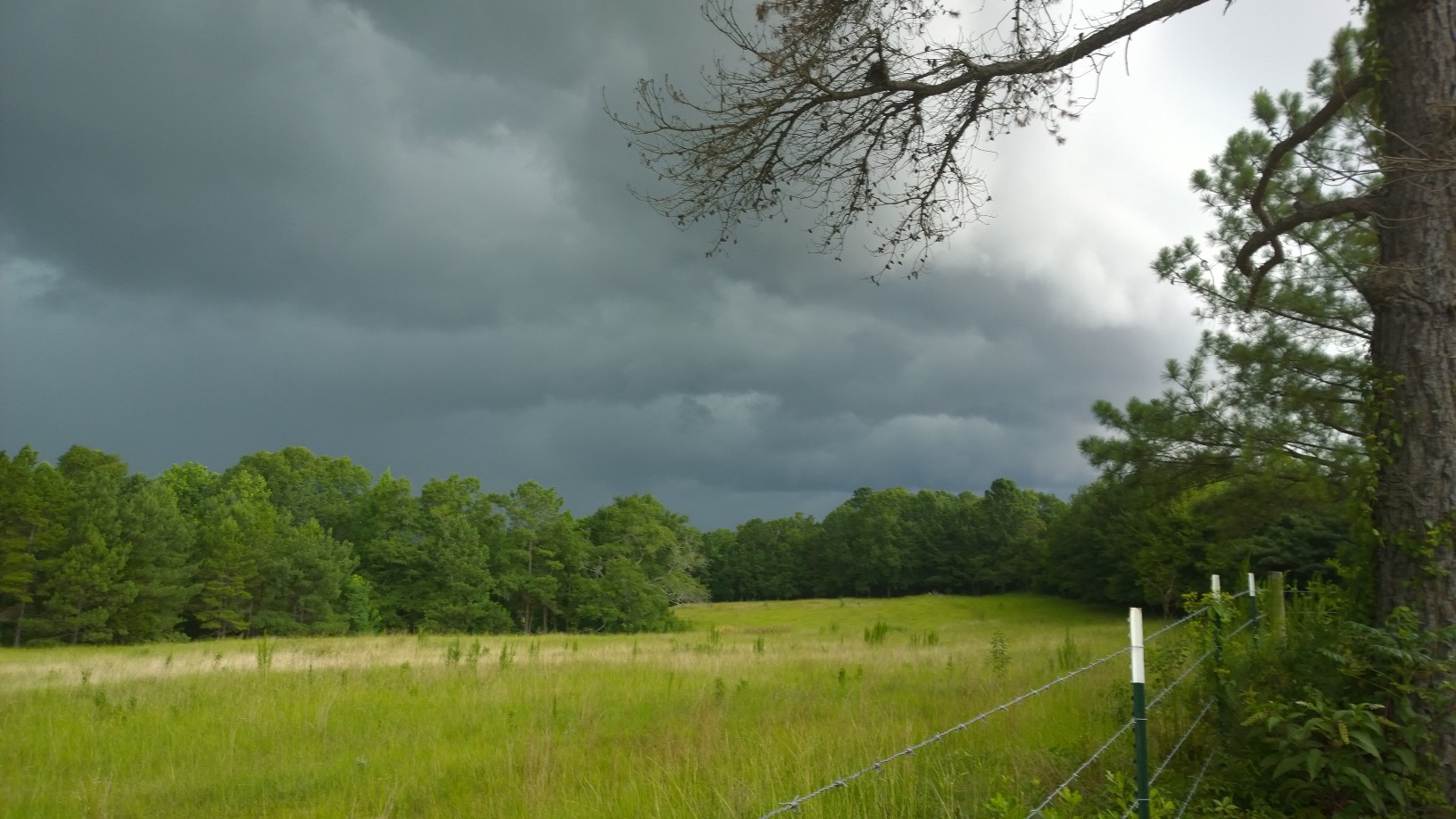
Stormy Skies
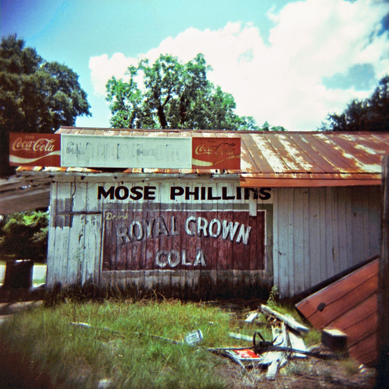
RC or Coke? Smuteye can't decide.
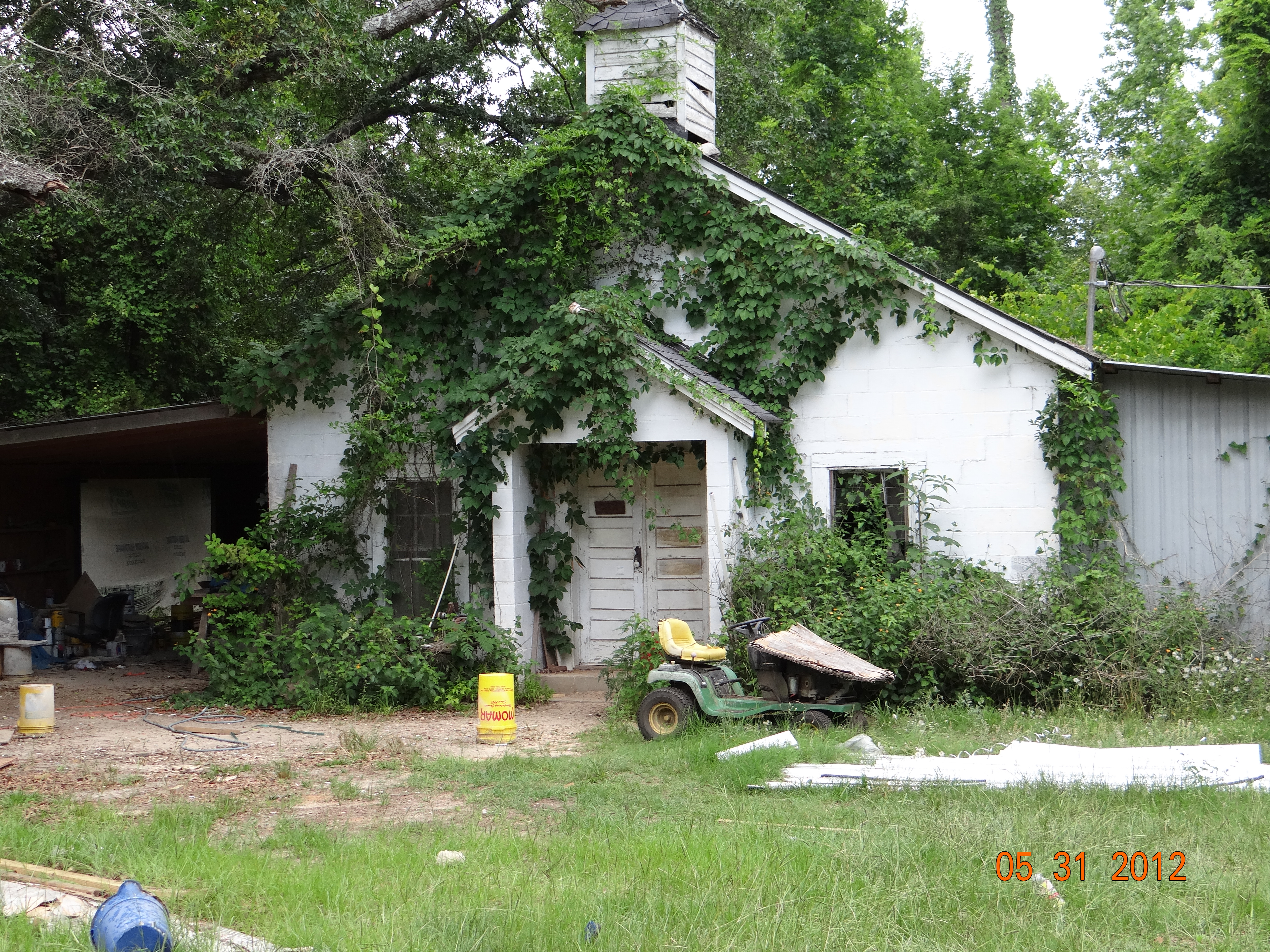
Old Church
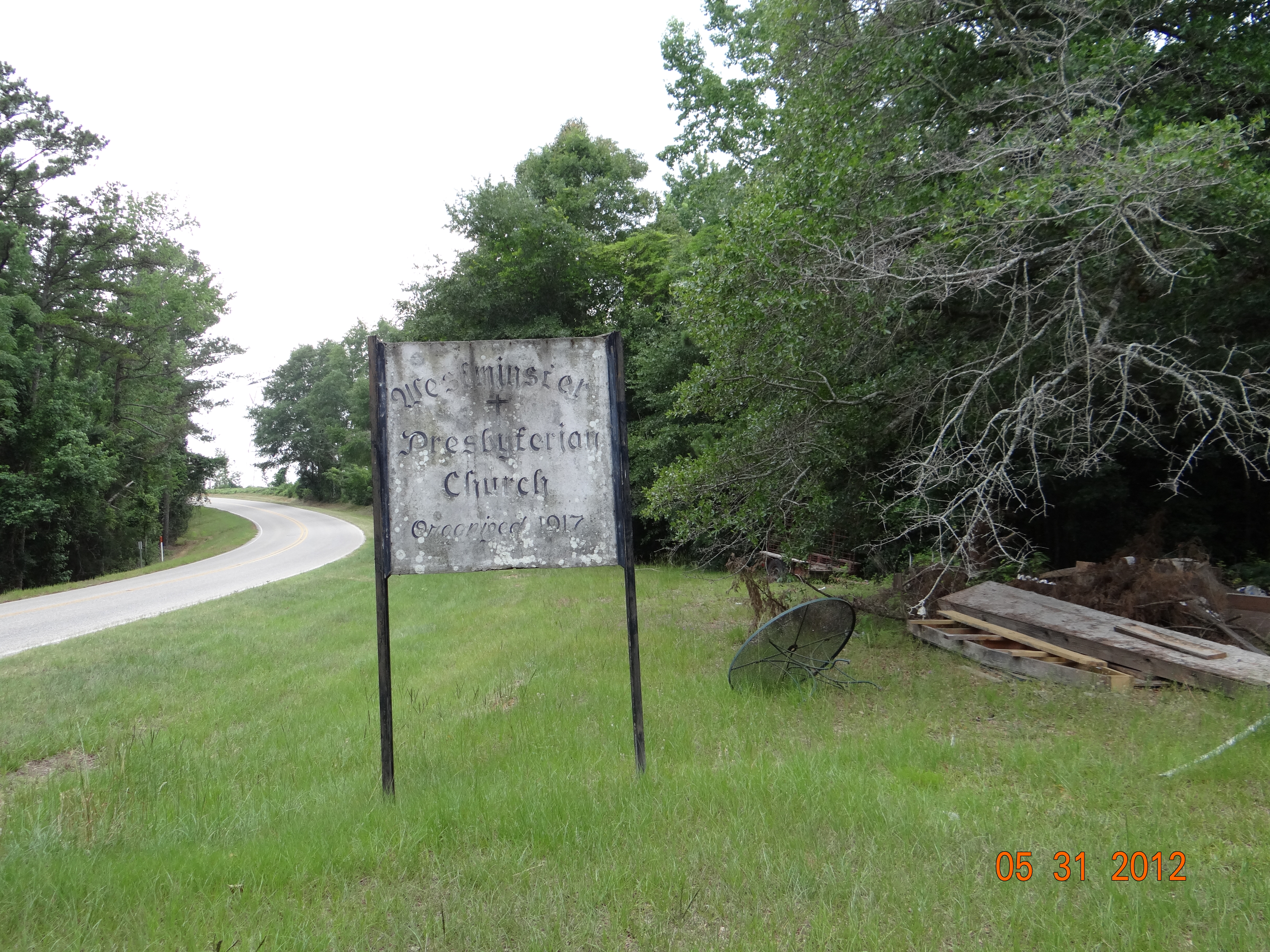
West Minster Church Sign
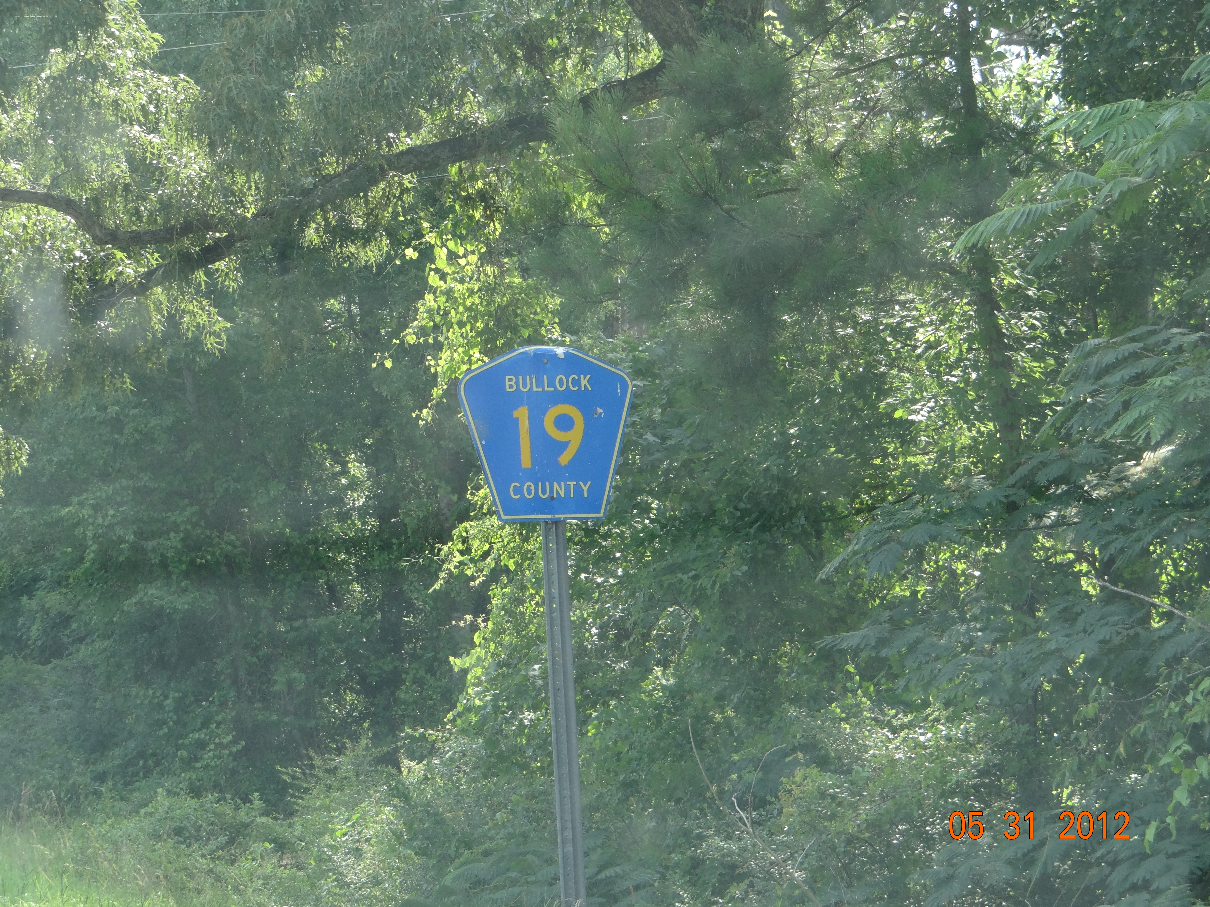
Bullock Co Rd 19
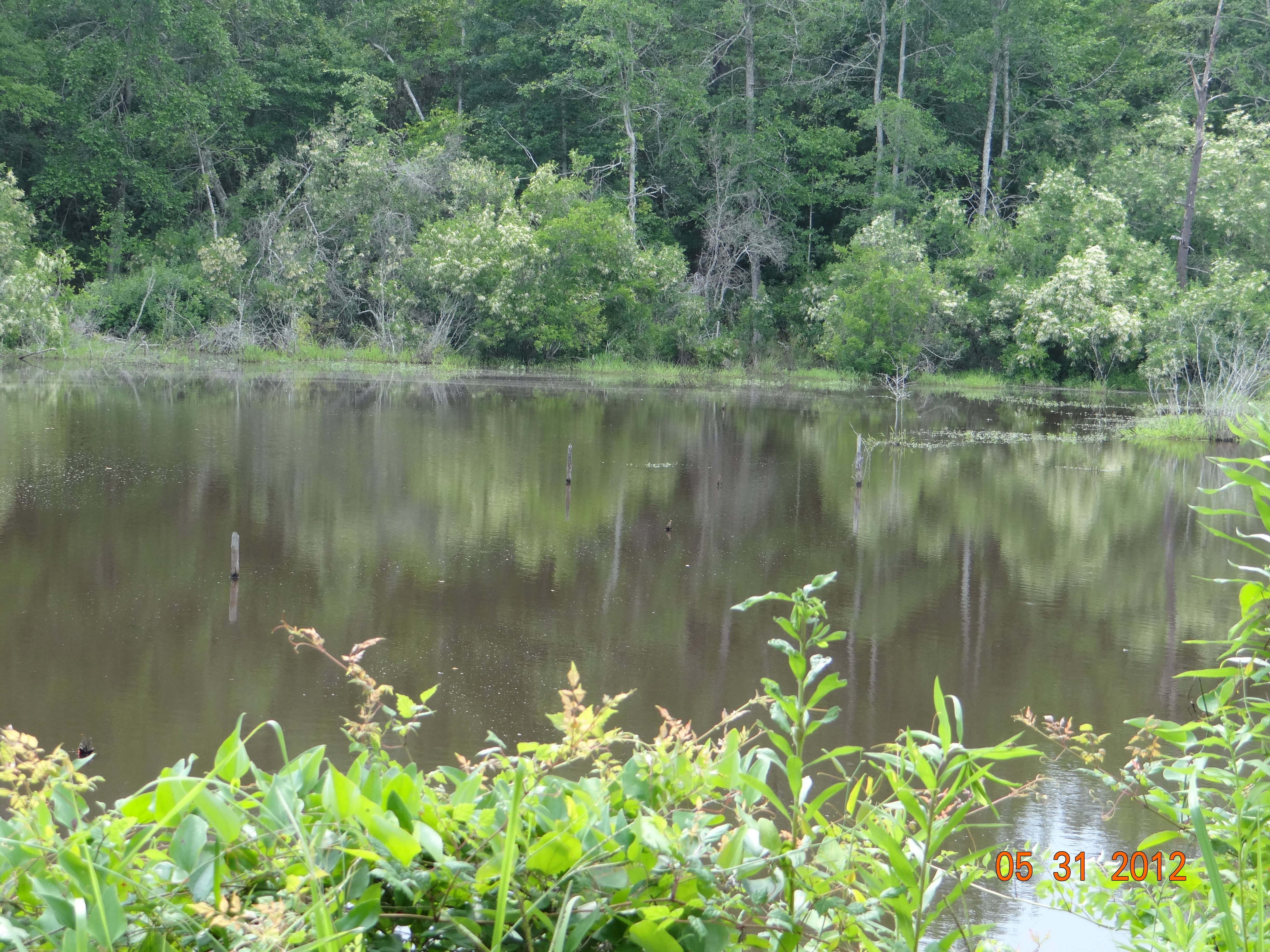
Smut Eye Lake

Here stands Smuteye

Wheels of fortune
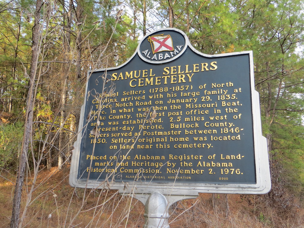
Samuel Sellers Cemetery Marker Bullock Co AL
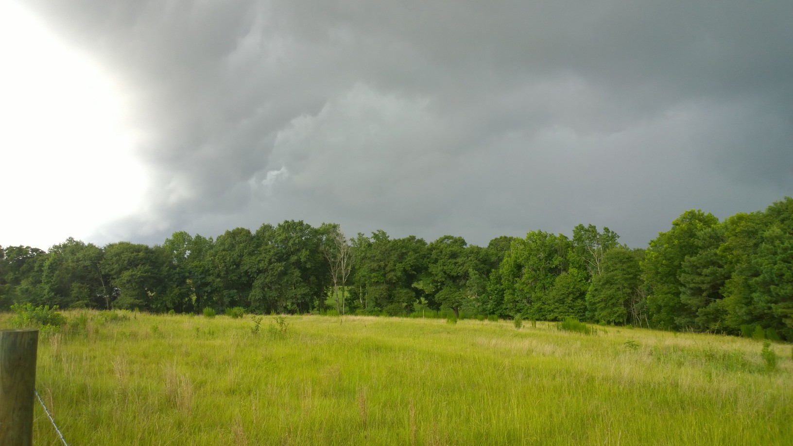
Stormy Skies

Monticello, Alabama
Topographic Map of US-29, Banks, AL, USA
Find elevation by address:

Places near US-29, Banks, AL, USA:
5 Star Hill Rd, Clayton, AL, USA
Bullock County
Louisville
56 Baxters Station Rd, Louisville, AL, USA
Bethlehem Church Rd, Louisville, AL, USA
22 Ike Cir
22 Ike Cir
22 Ike Cir
22 Ike Cir
22 Ike Cir
Pratts Station Rd, Clayton, AL, USA
Clio
Elamville St, Clio, AL, USA
AL-51, Ariton, AL, USA
Union Springs
93 Doster Rd, Ariton, AL, USA
Clayton
Midway
AL-, Clio, AL, USA
Co Rd 30, Union Springs, AL, USA
Recent Searches:
- Elevation of Corso Fratelli Cairoli, 35, Macerata MC, Italy
- Elevation of Tallevast Rd, Sarasota, FL, USA
- Elevation of 4th St E, Sonoma, CA, USA
- Elevation of Black Hollow Rd, Pennsdale, PA, USA
- Elevation of Oakland Ave, Williamsport, PA, USA
- Elevation of Pedrógão Grande, Portugal
- Elevation of Klee Dr, Martinsburg, WV, USA
- Elevation of Via Roma, Pieranica CR, Italy
- Elevation of Tavkvetili Mountain, Georgia
- Elevation of Hartfords Bluff Cir, Mt Pleasant, SC, USA