Elevation of US-26, Crowheart, WY, USA
Location: United States > Wyoming > Fremont County >
Longitude: -109.19392
Latitude: 43.3096001
Elevation: 1855m / 6086feet
Barometric Pressure: 81KPa
Elevation Map:
Satellite Map:
Related Photos:
untitled201307010159.jpg
_K5P7698.JPG
_K5P7697.JPG
untitled201307010158.jpg
untitled201307010038.jpg

untitled201307010037.jpg

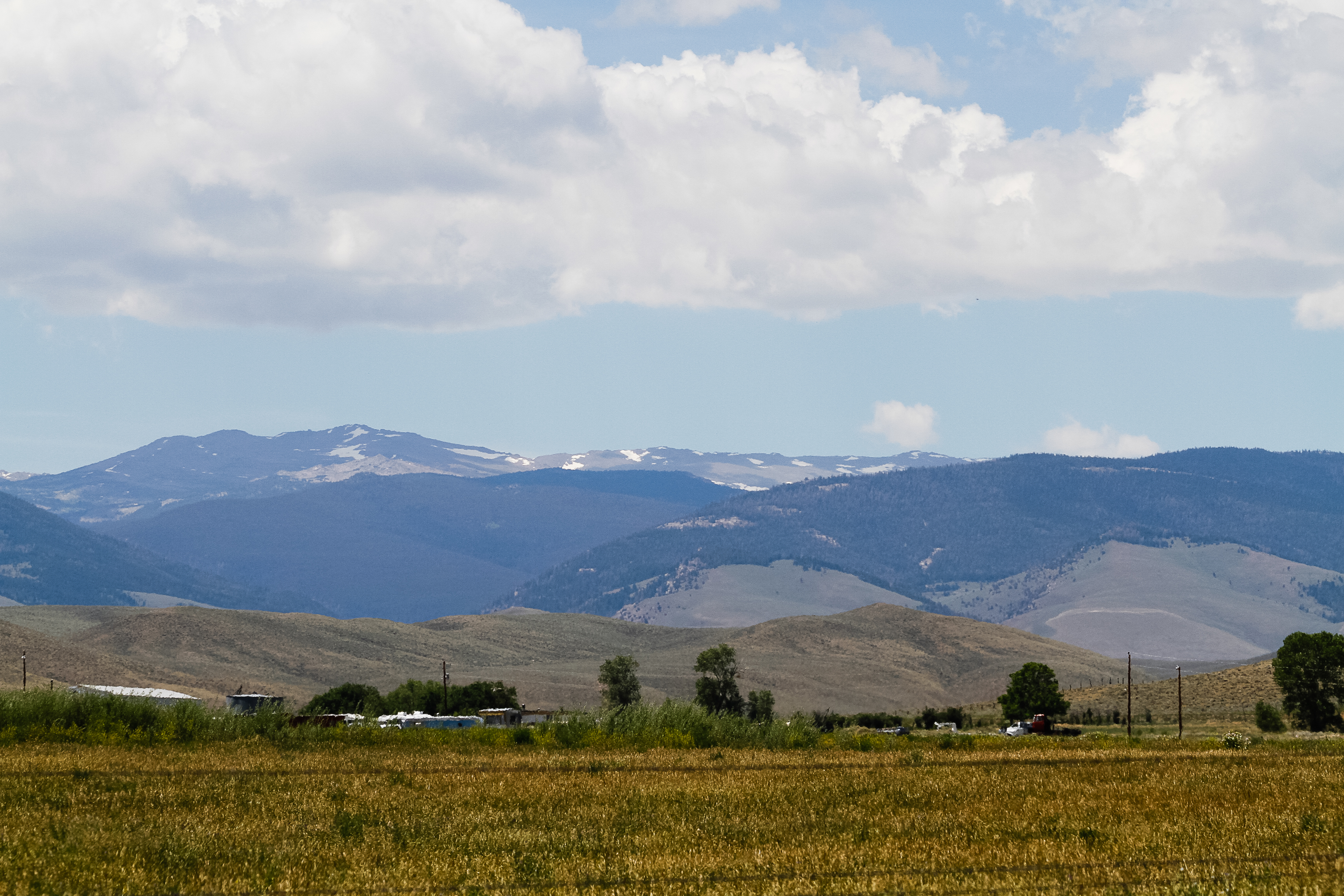
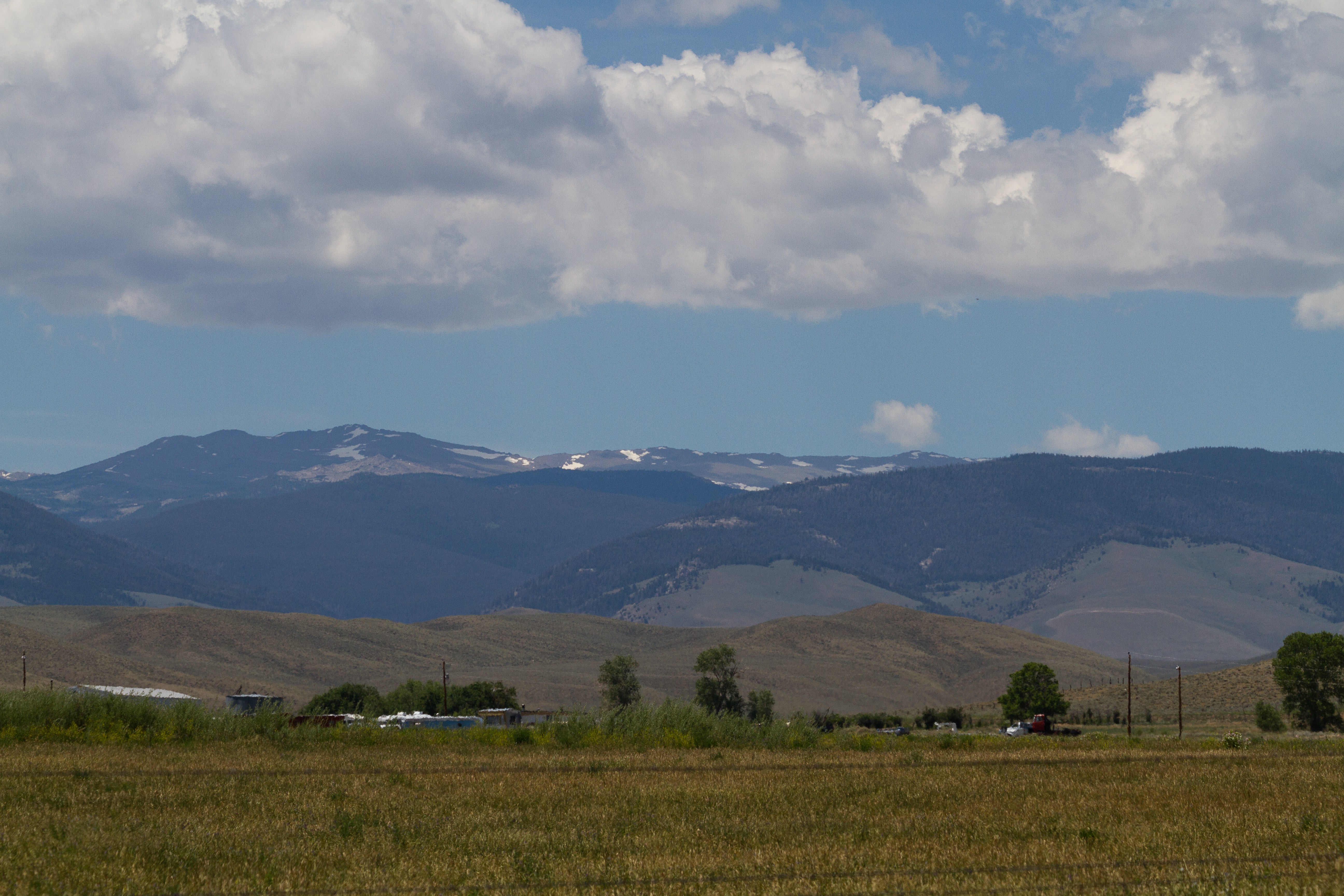
Wind River, Crowheart Wyoming
_K5P7701.JPG
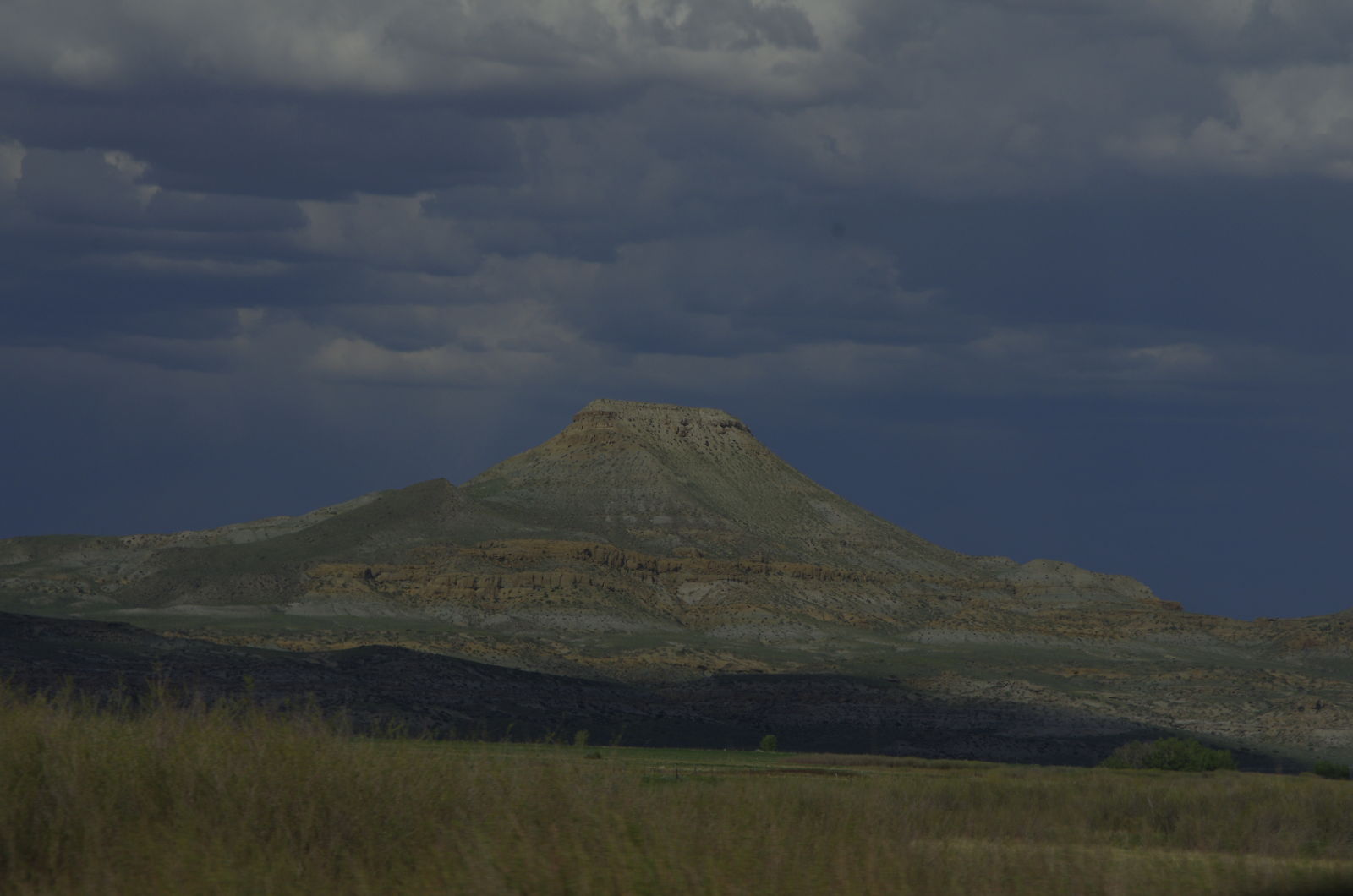
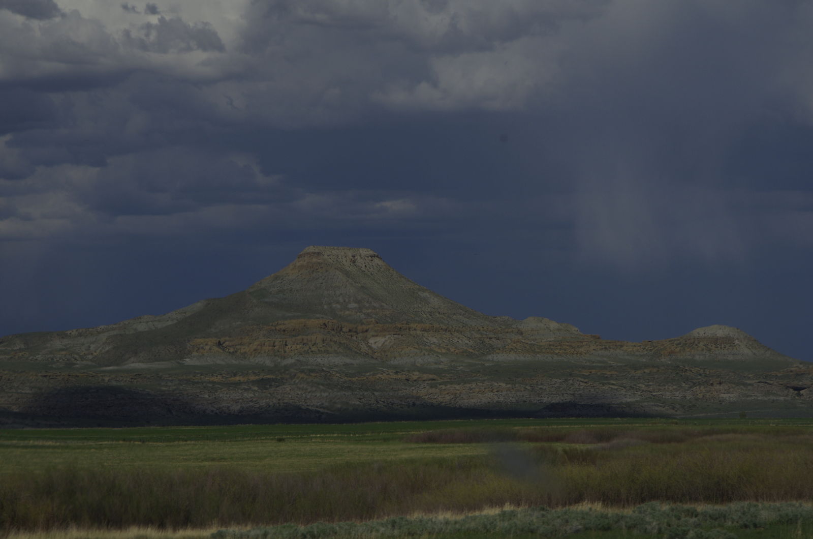
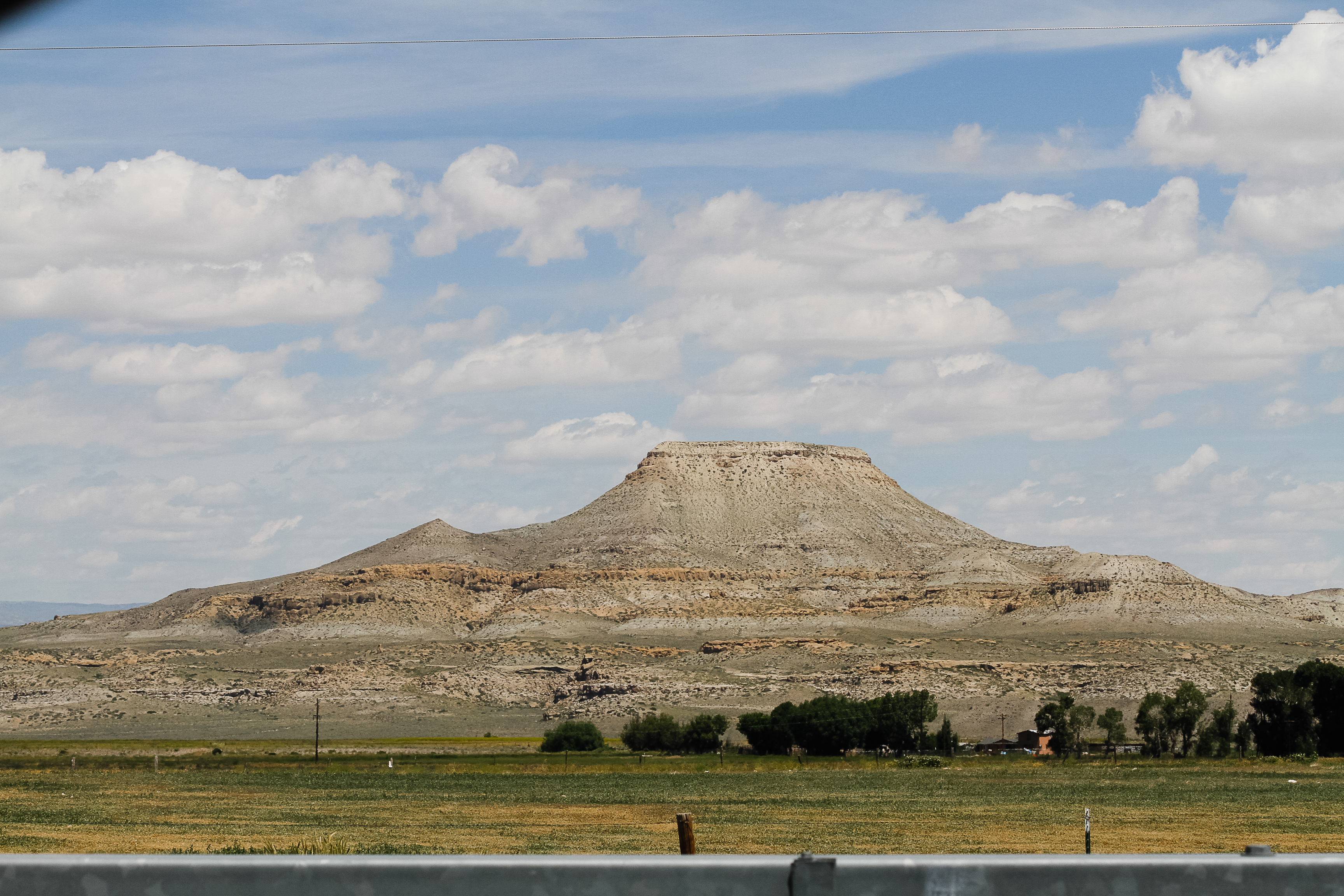
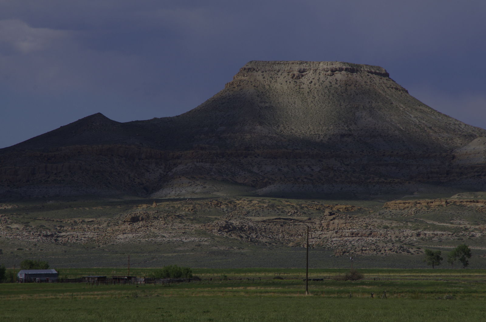
Crowheart Butte

USA September 2015
USA September 2015
Topographic Map of US-26, Crowheart, WY, USA
Find elevation by address:

Places near US-26, Crowheart, WY, USA:
27 Red Creek Ln, Dubois, WY, USA
Wind River Reservation
Torrey Lake
Stewart Road
Gannett Peak
Dubois
Gannett Realty
218 W Rams Horn St
N Cherry St, Pavillion, WY, USA
48 Johnstown Spur, Riverton, WY, USA
US-26, Riverton, WY, USA
Boulder Flats
Boulder Flats
Boulder Flats
Boulder Flats
Boulder Flats
Boulder Flats
Boulder Flats
Boulder Flats
US-, Lander, WY, USA
Recent Searches:
- Elevation of Corso Fratelli Cairoli, 35, Macerata MC, Italy
- Elevation of Tallevast Rd, Sarasota, FL, USA
- Elevation of 4th St E, Sonoma, CA, USA
- Elevation of Black Hollow Rd, Pennsdale, PA, USA
- Elevation of Oakland Ave, Williamsport, PA, USA
- Elevation of Pedrógão Grande, Portugal
- Elevation of Klee Dr, Martinsburg, WV, USA
- Elevation of Via Roma, Pieranica CR, Italy
- Elevation of Tavkvetili Mountain, Georgia
- Elevation of Hartfords Bluff Cir, Mt Pleasant, SC, USA