Elevation of US-21, Great Falls, SC, USA
Location: United States > South Carolina > Chester County > Great Falls >
Longitude: -80.918670
Latitude: 34.5284107
Elevation: 120m / 394feet
Barometric Pressure: 100KPa
Elevation Map:
Satellite Map:
Related Photos:
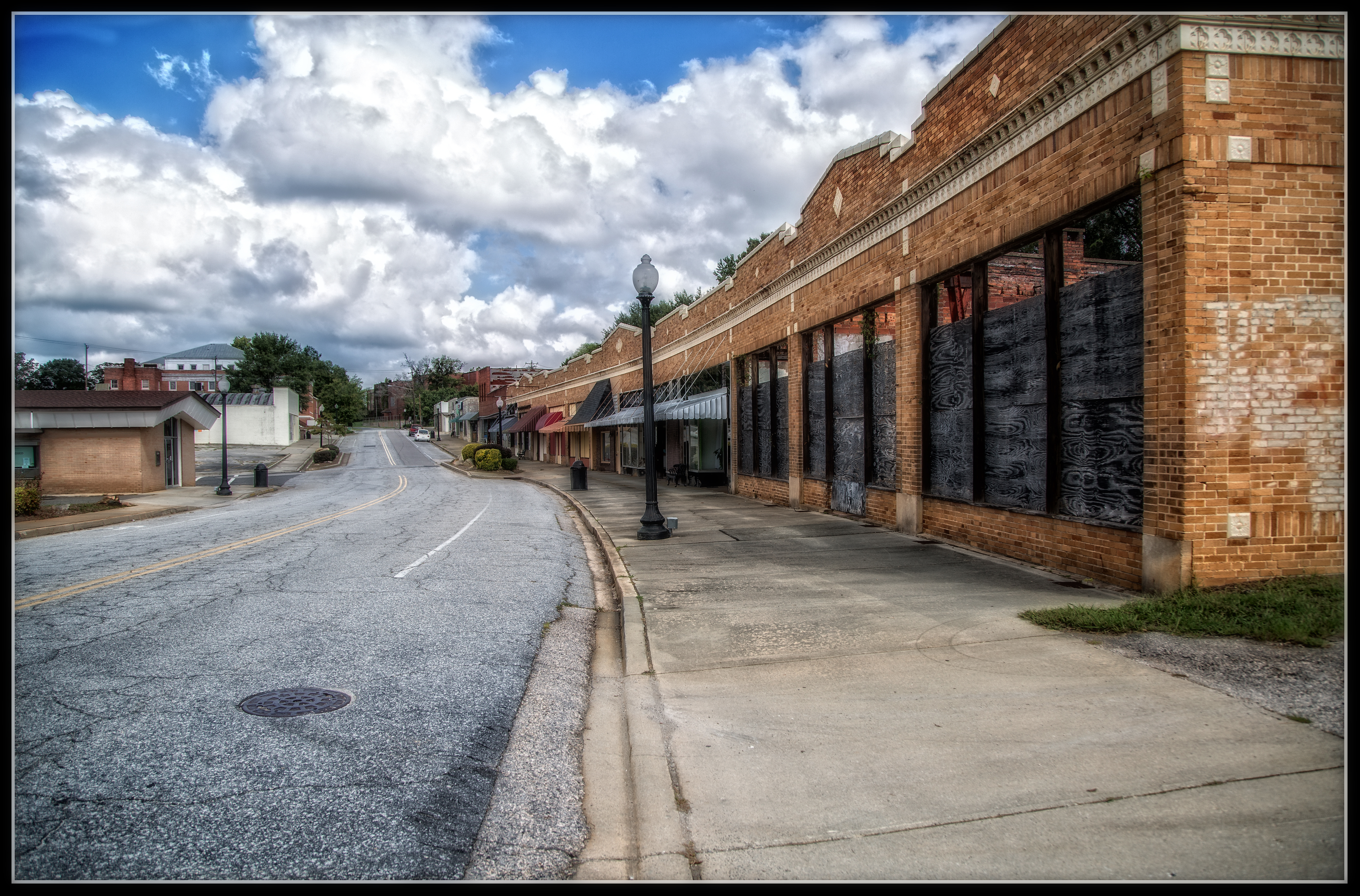
Sad, Spooky, & Fascinating
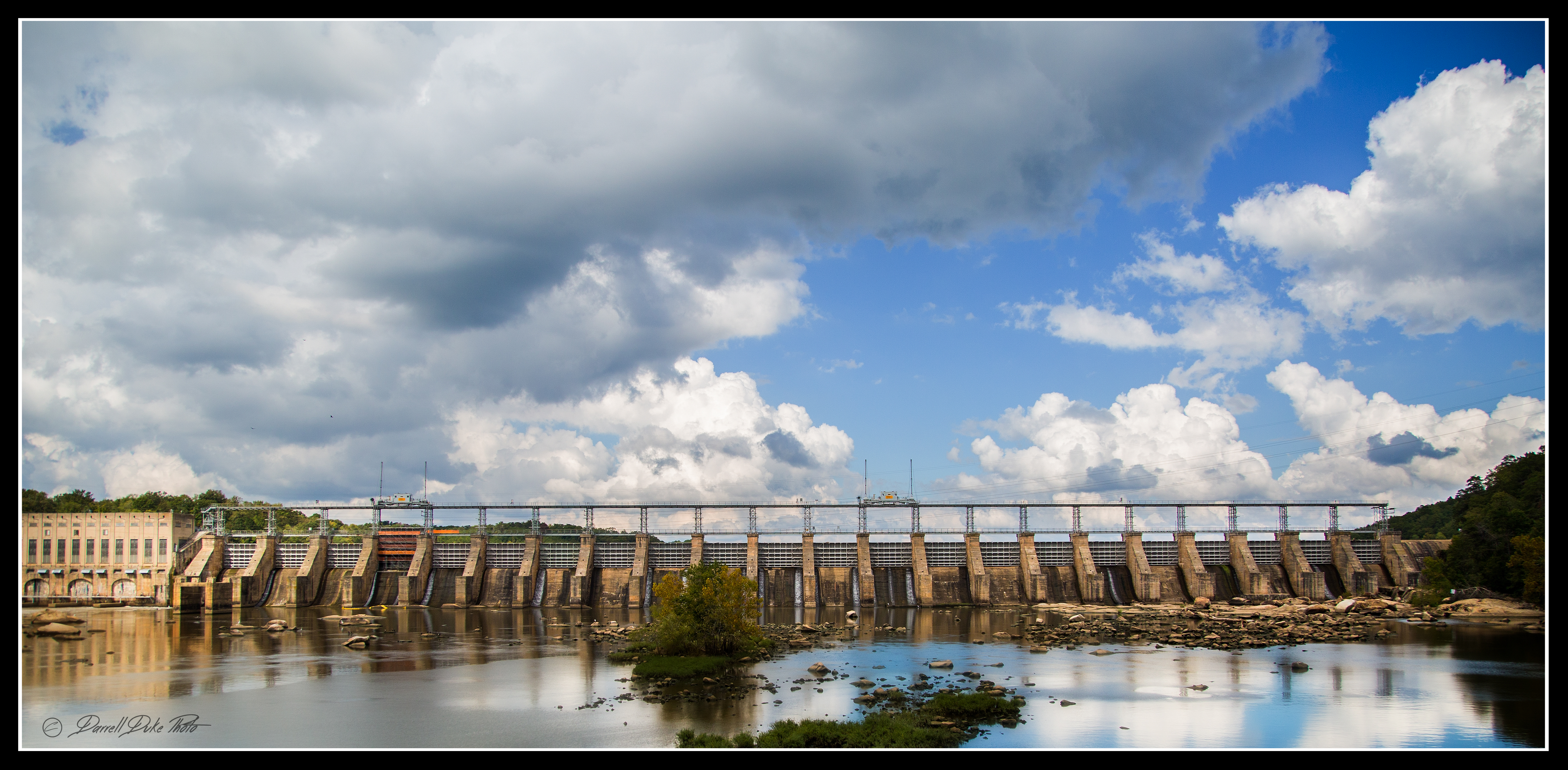
That Dam Picture
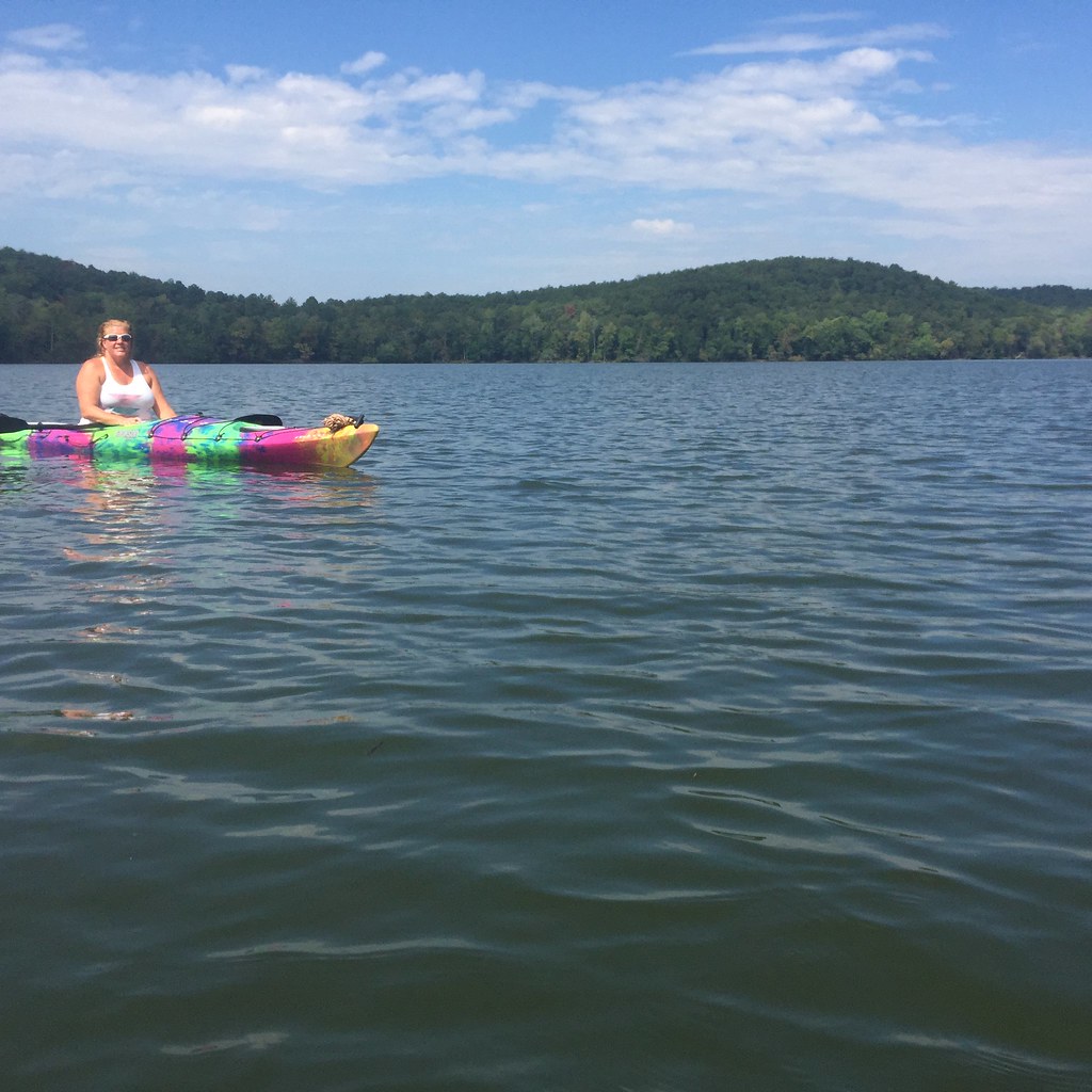
Christy kayaking
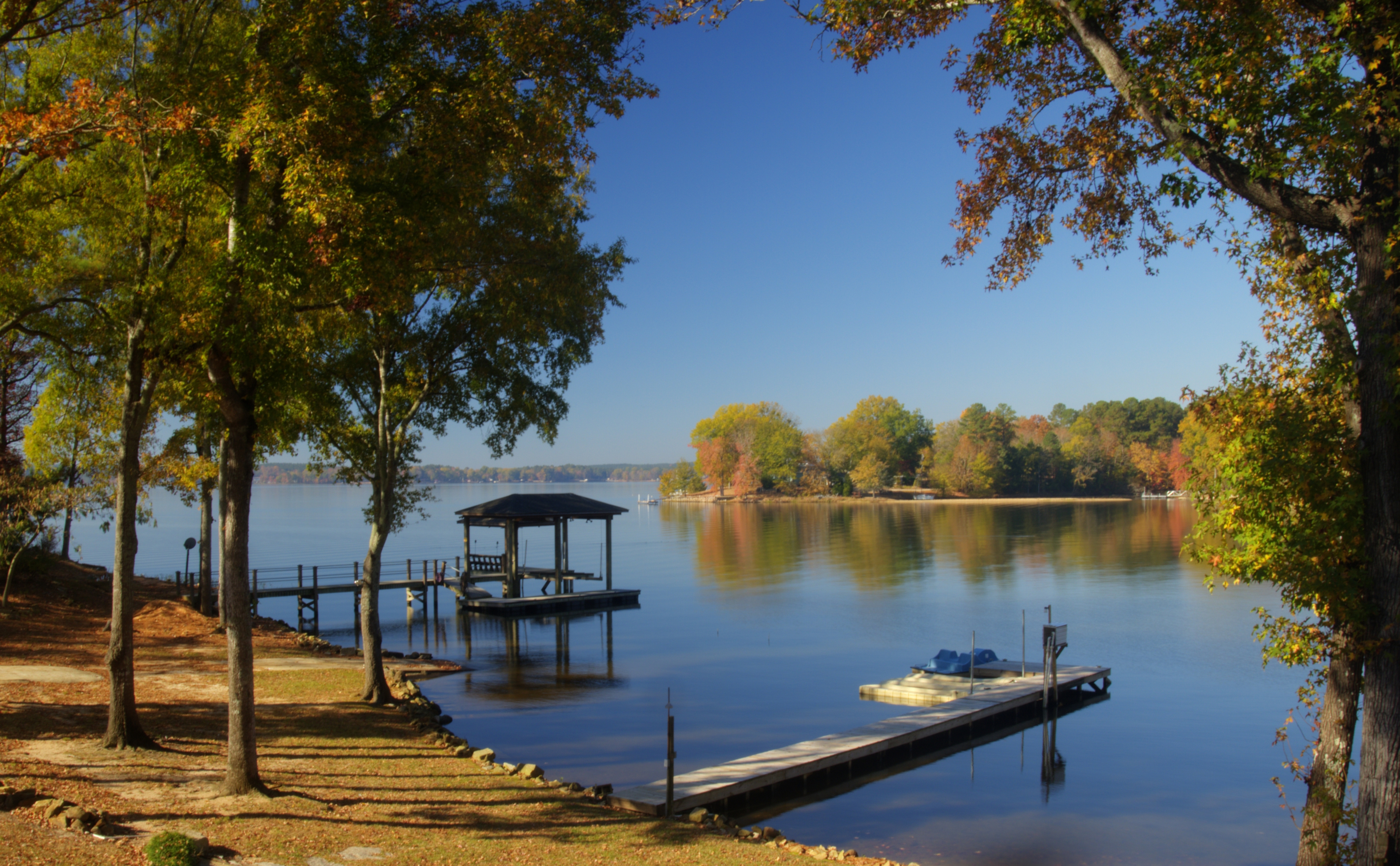
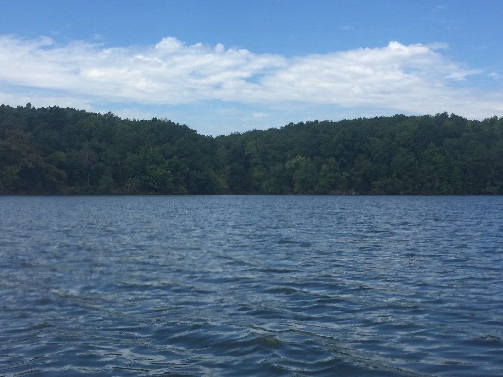
November Morning Lake Wateree HDR

The Point

Lake Wateree State Park, SC

Catawba River
Jeff T Casting
Sunset on Lake Wateree SC

Picture 242
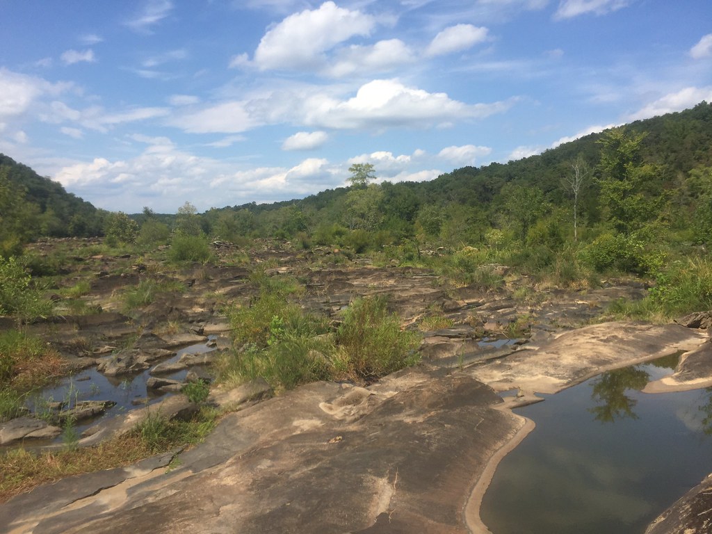
Rocky Creek-9

Rocky Creek-5
Rocky Creek-10
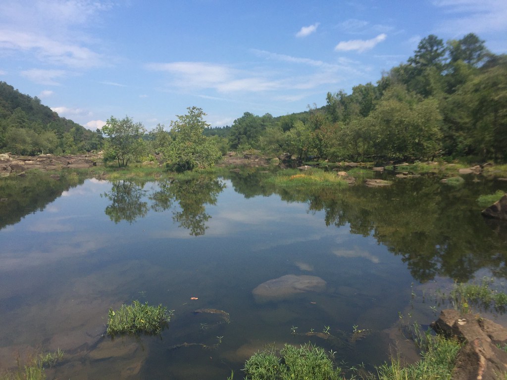
The mouth of one of the dry Catawba River channels.
one of the dry Catawba River channels.

The mouth of one of the dry Catawba River channels.
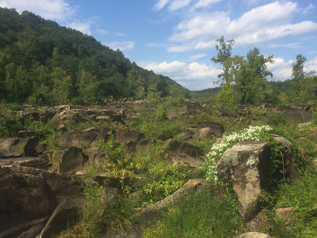
Cool flowers
Cedar Creek Reservoir
Topographic Map of US-21, Great Falls, SC, USA
Find elevation by address:

Places near US-21, Great Falls, SC, USA:
3190 Havenwood Dr
3190 Havenwood Dr
Great Falls
38 Canal St, Great Falls, SC, USA
550 Timberlane Cir
19661 Harbor Watch Ct
SC-, Blackstock, SC, USA
Blackstock
Blackstock
Blackstock
Blackstock
Blackstock
265 Crow Ln
265 Crow Ln
265 Crow Ln
265 Crow Ln
265 Crow Ln
265 Crow Ln
265 Crow Ln
265 Crow Ln
Recent Searches:
- Elevation of Corso Fratelli Cairoli, 35, Macerata MC, Italy
- Elevation of Tallevast Rd, Sarasota, FL, USA
- Elevation of 4th St E, Sonoma, CA, USA
- Elevation of Black Hollow Rd, Pennsdale, PA, USA
- Elevation of Oakland Ave, Williamsport, PA, USA
- Elevation of Pedrógão Grande, Portugal
- Elevation of Klee Dr, Martinsburg, WV, USA
- Elevation of Via Roma, Pieranica CR, Italy
- Elevation of Tavkvetili Mountain, Georgia
- Elevation of Hartfords Bluff Cir, Mt Pleasant, SC, USA