Elevation of US-20, Thermopolis, WY, USA
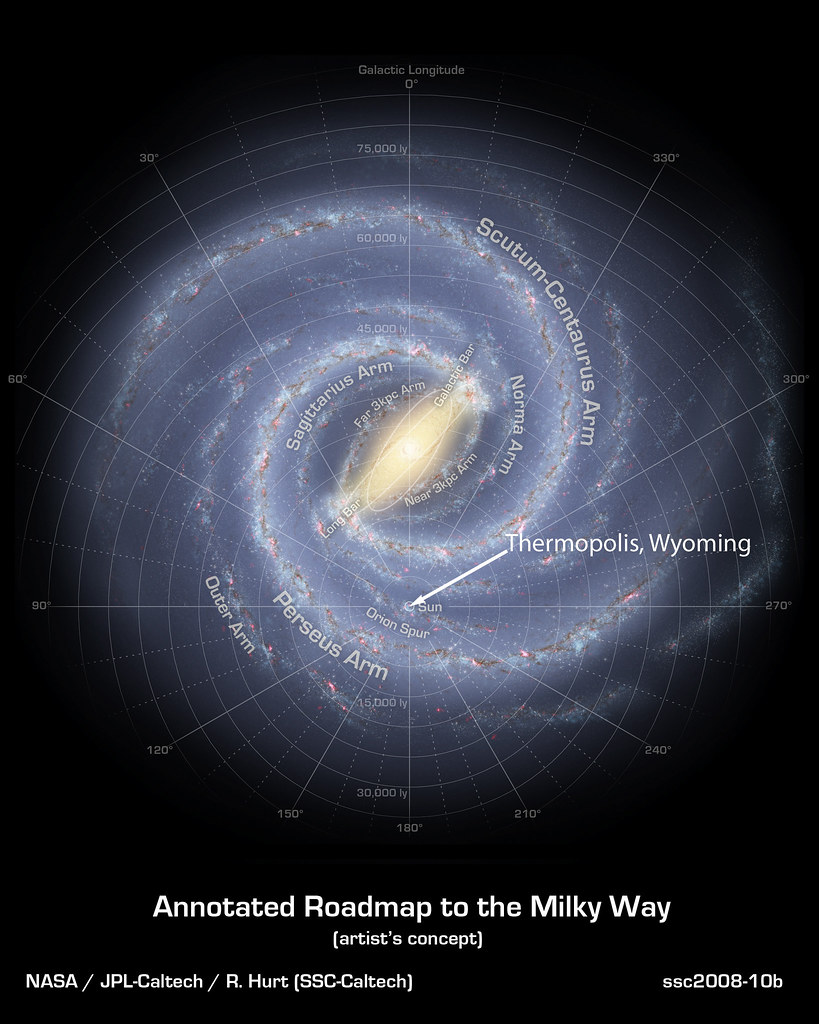
Location: United States > Wyoming > Hot Springs County > Thermopolis >
Longitude: -108.214
Latitude: 43.5899
Elevation: 1332m / 4370feet
Barometric Pressure: 86KPa
Elevation Map:
Satellite Map:
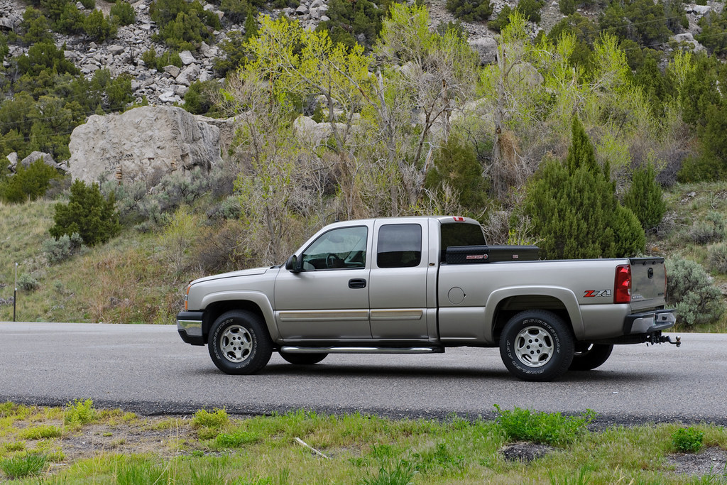
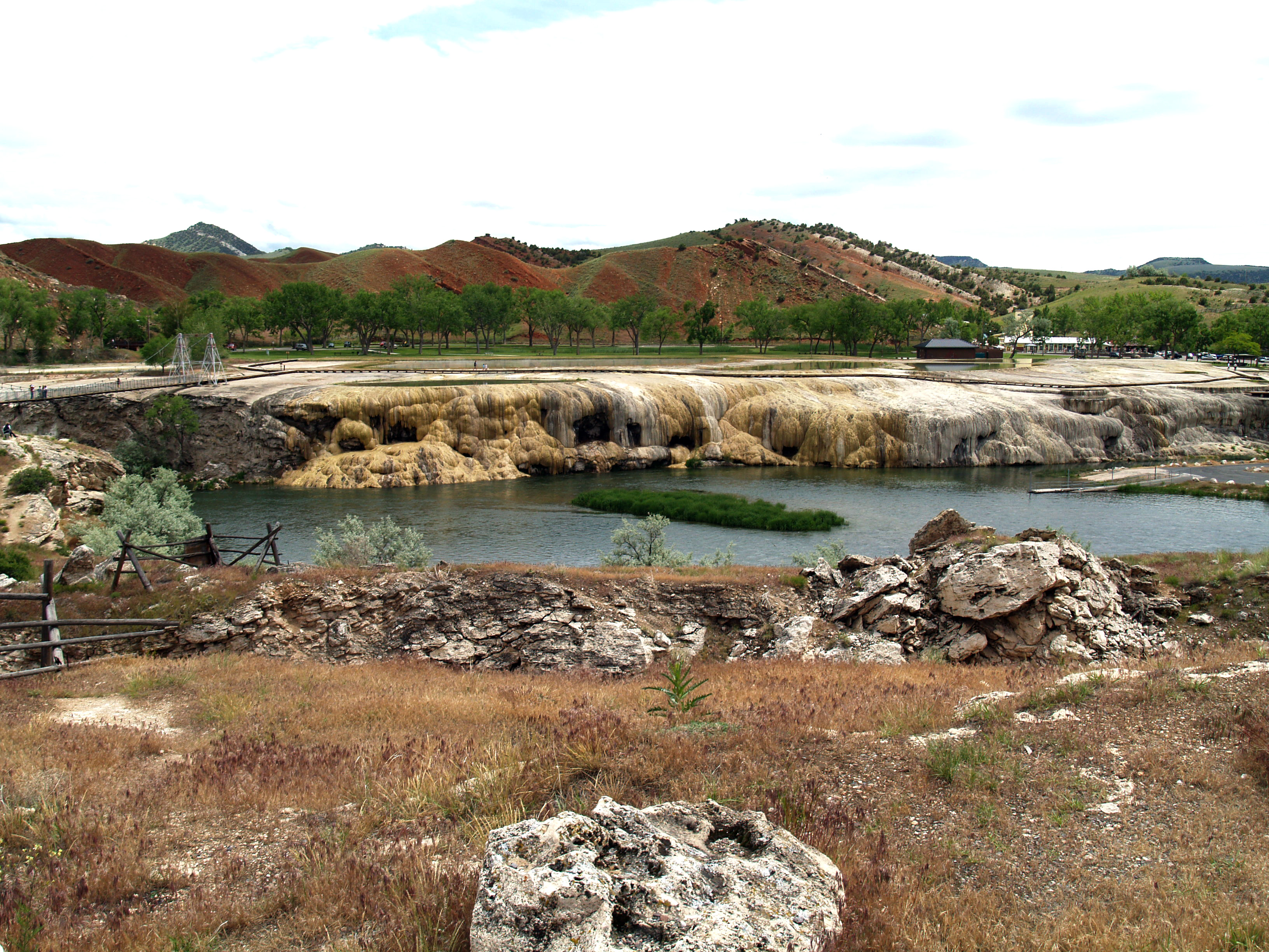
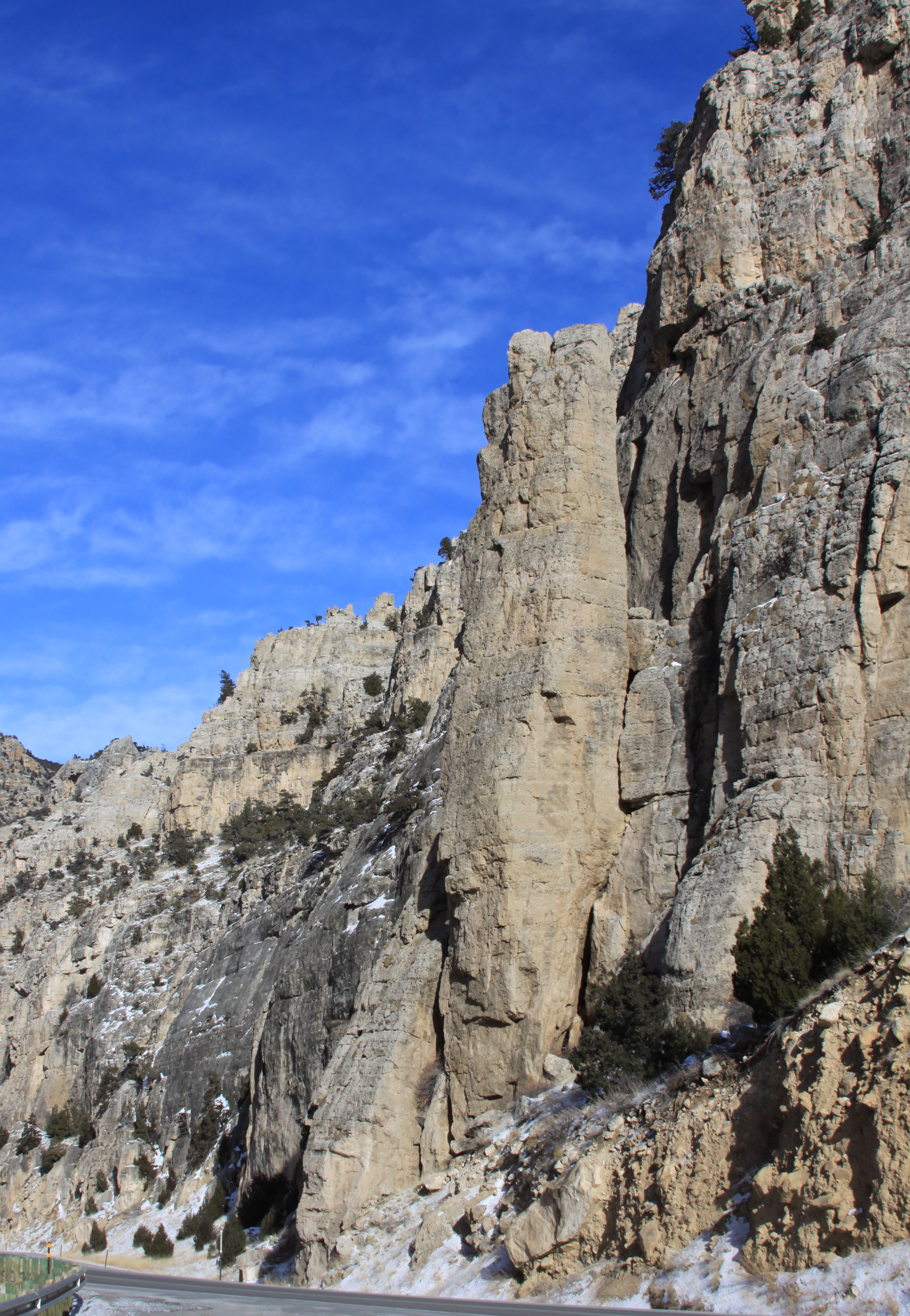
Related Photos:
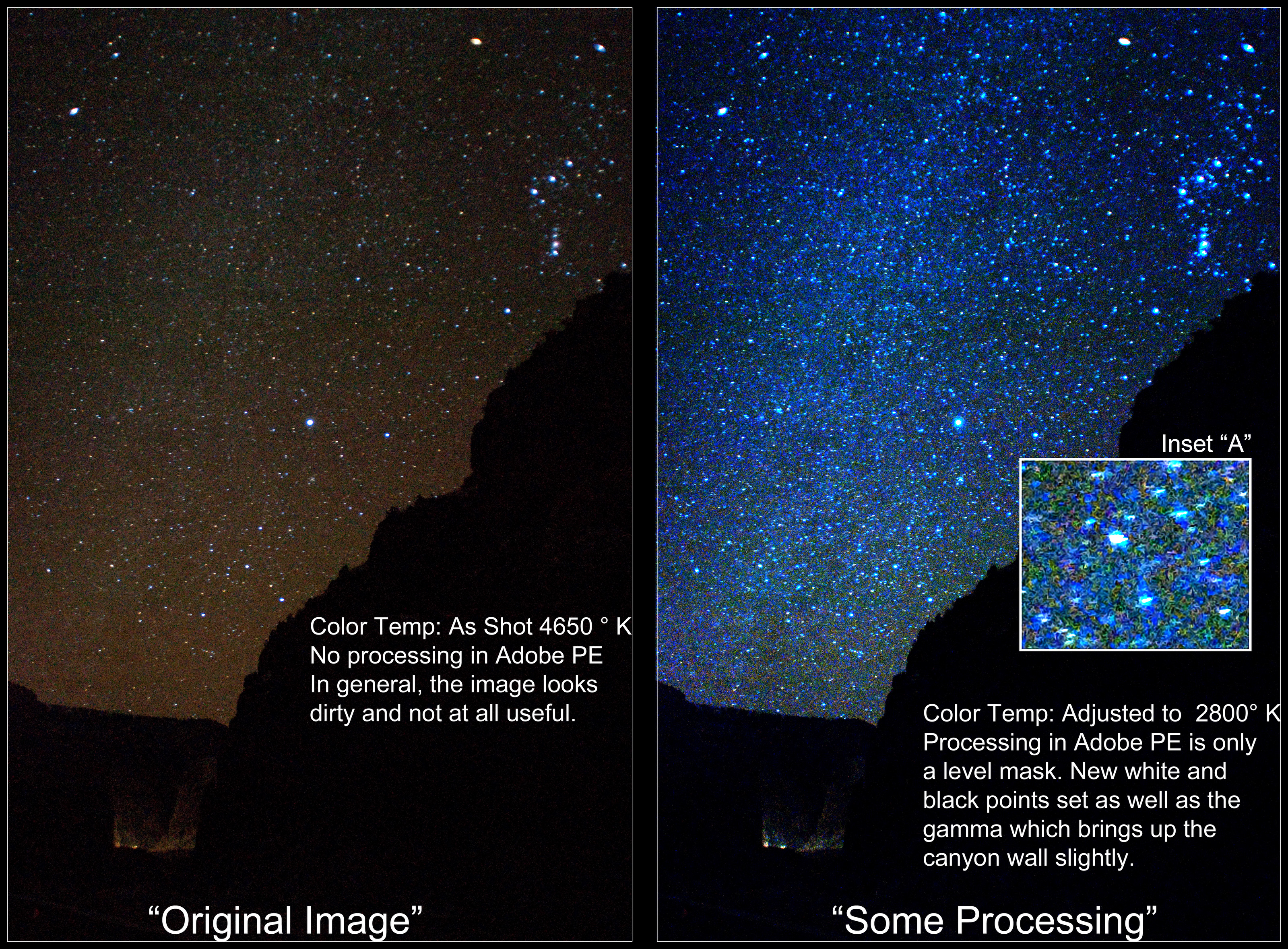
Milky Way in Wind River Canyon (Expert Advice Sought)
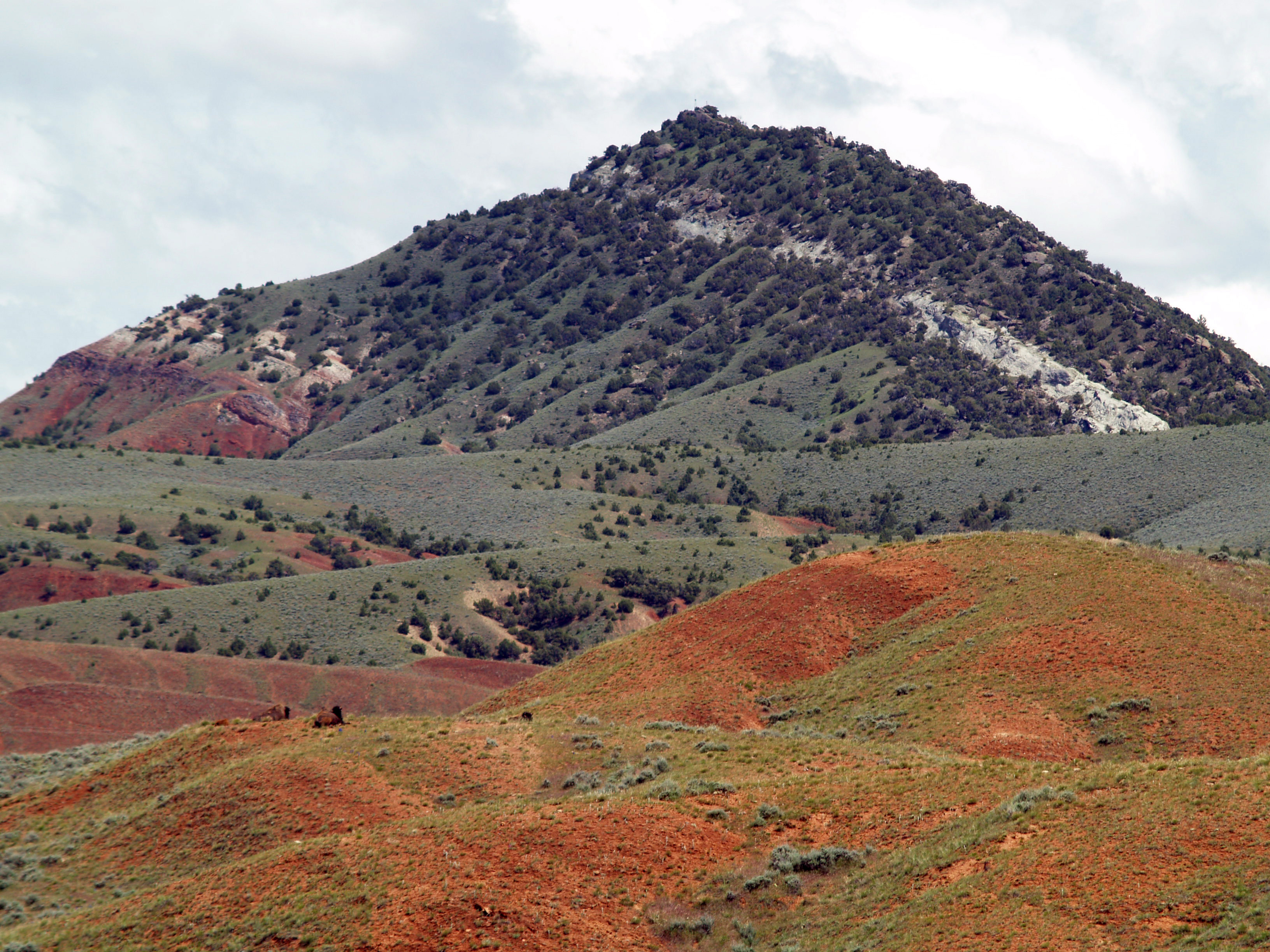
More buffalo viewing
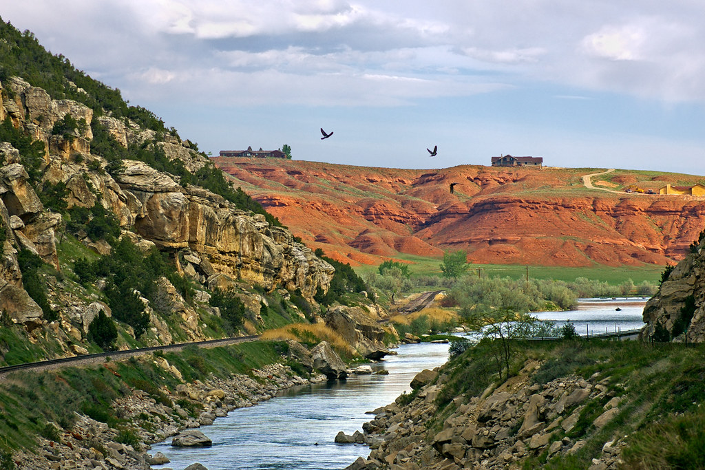
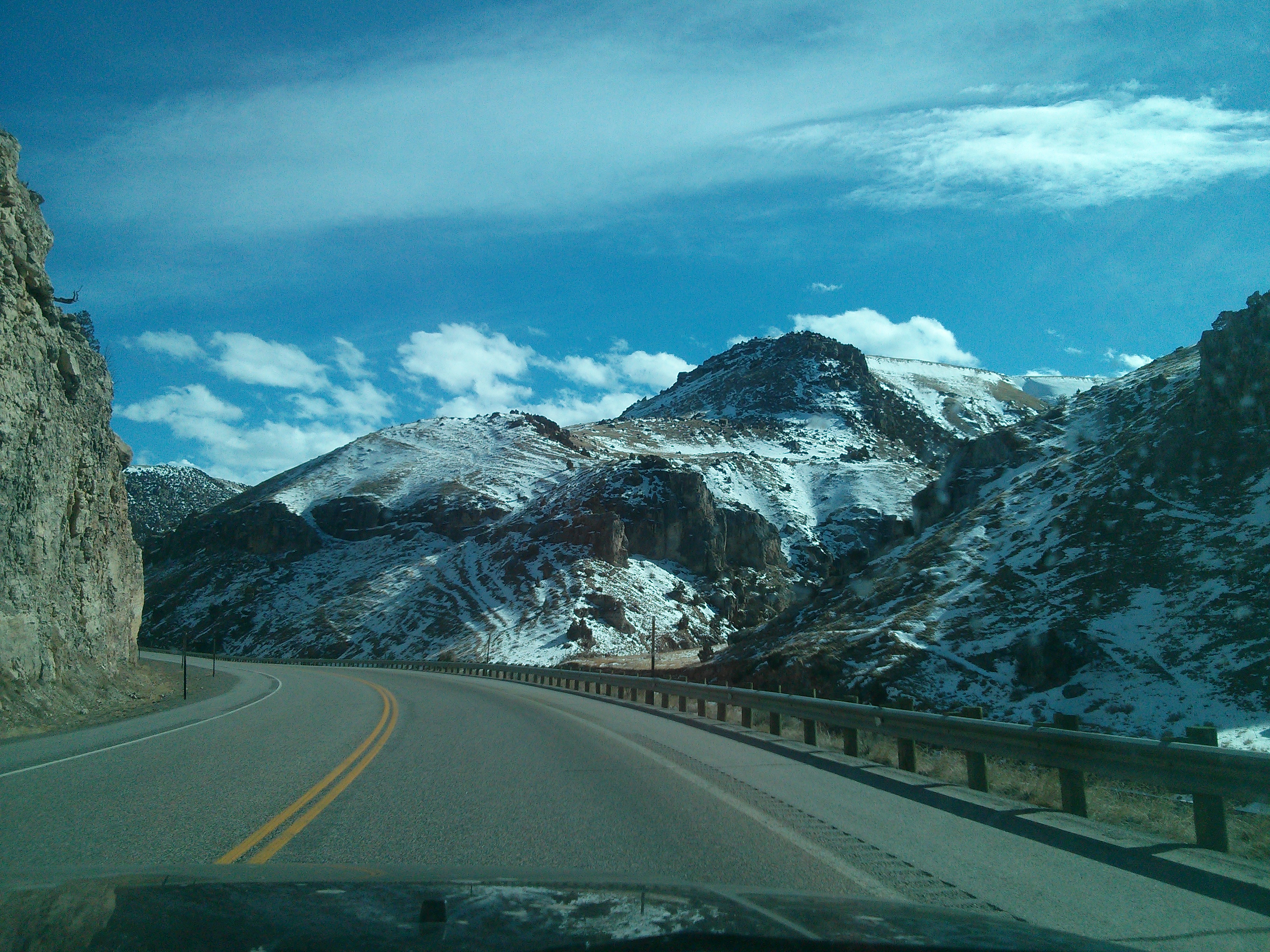
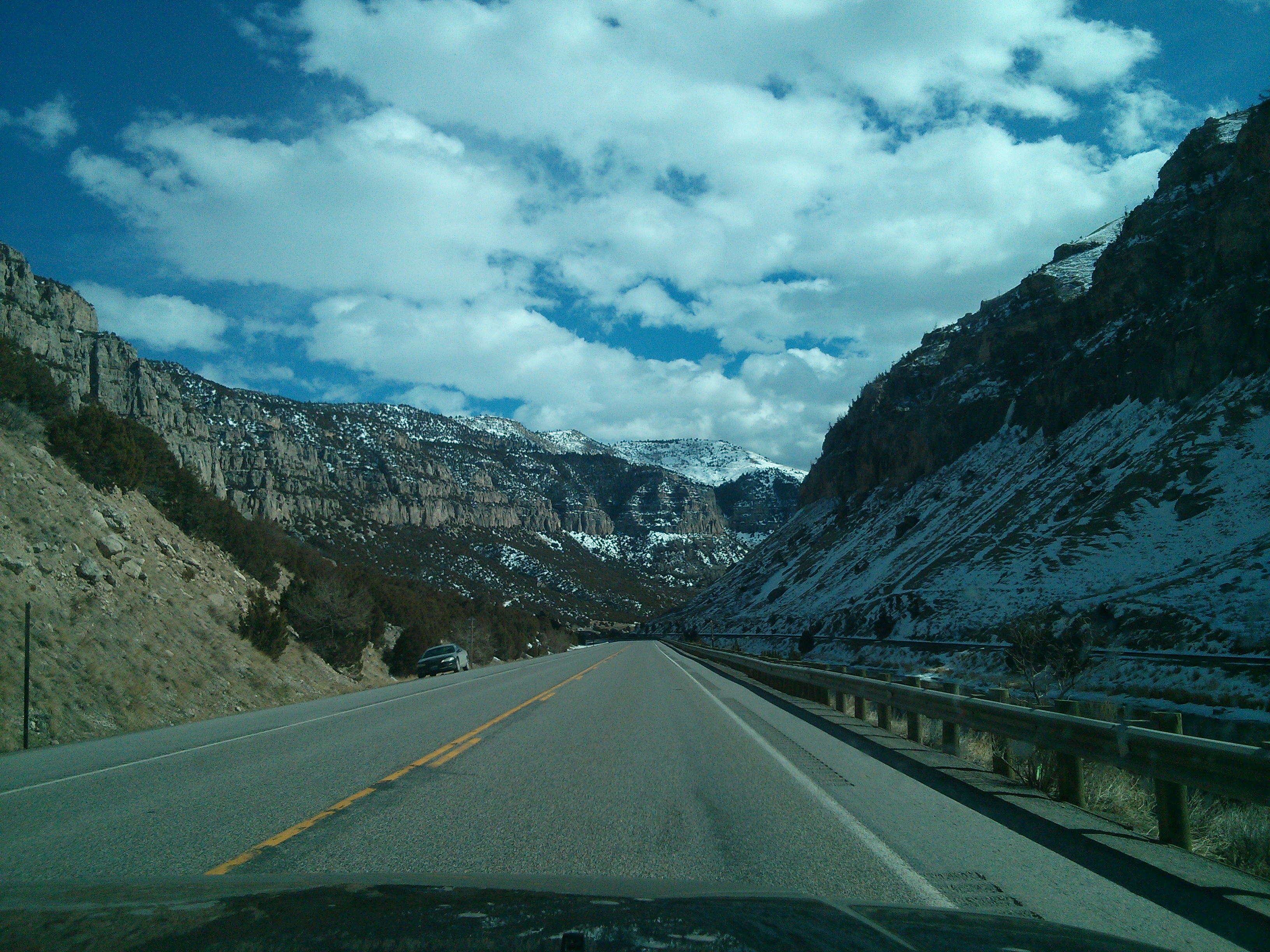
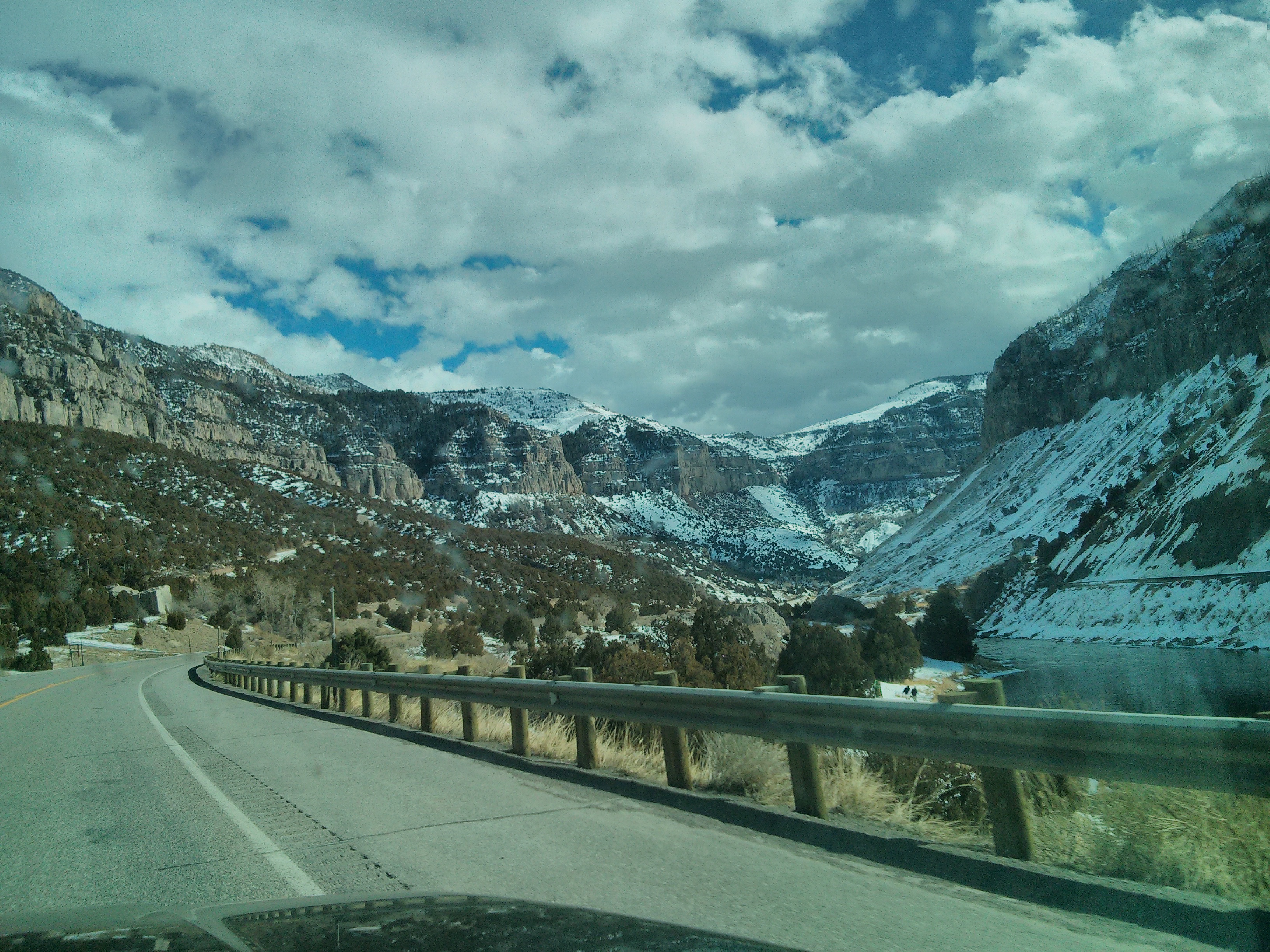
Wind River Canyon
Out In The Sticks
Proof of Travel May 2011
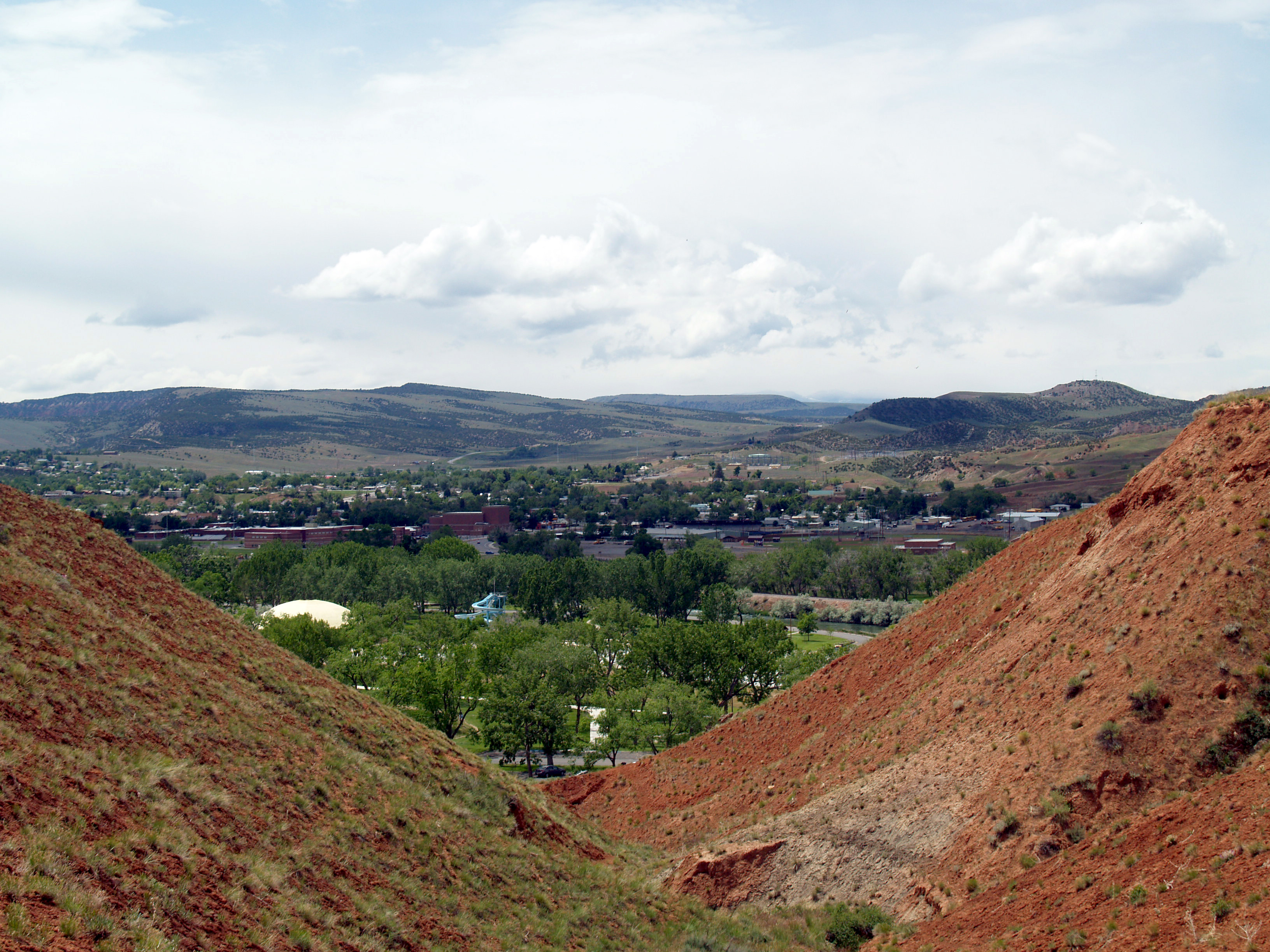
View of Thermopolis
View of the Hot Springs from outside the park
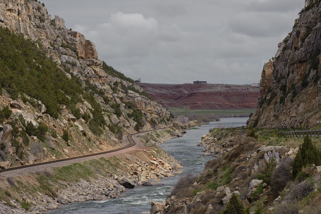
North side of Wind River Canyon
Wind River Canyon

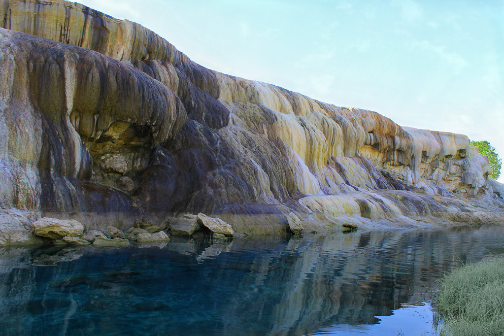
Colorful Terraces, Hot Springs State Park, Thermopolis, Wyoming
Terraces On Monday Morning
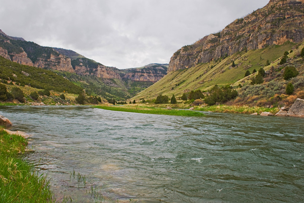
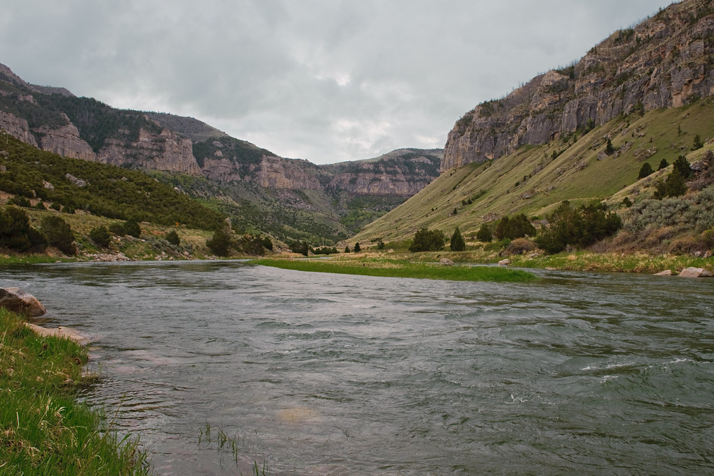
Wind River
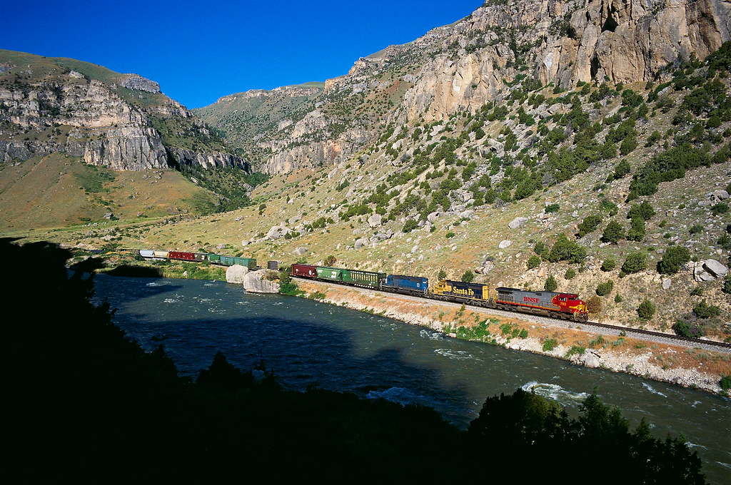
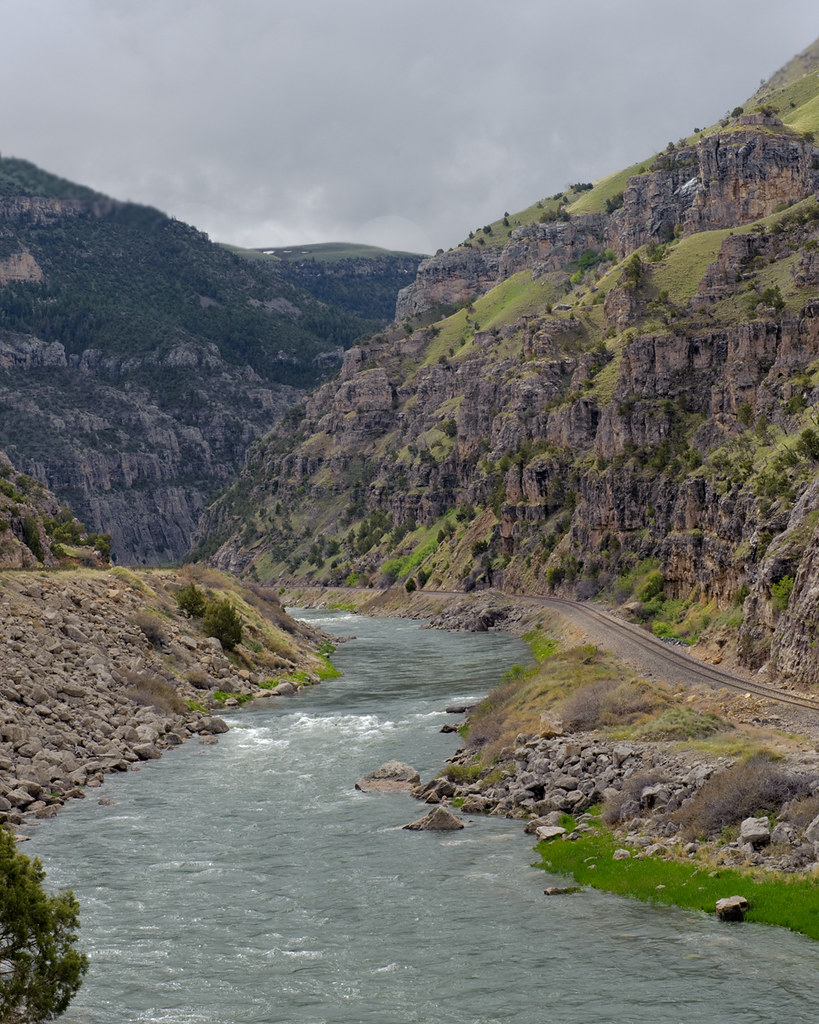
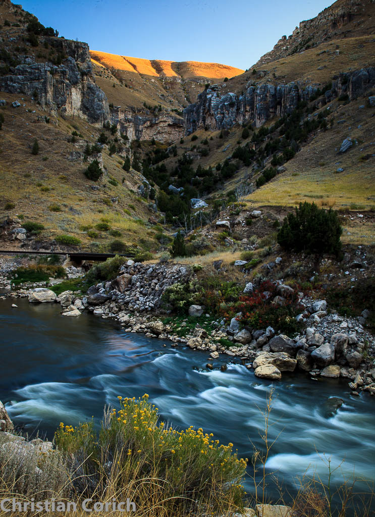
Wind River Canyon
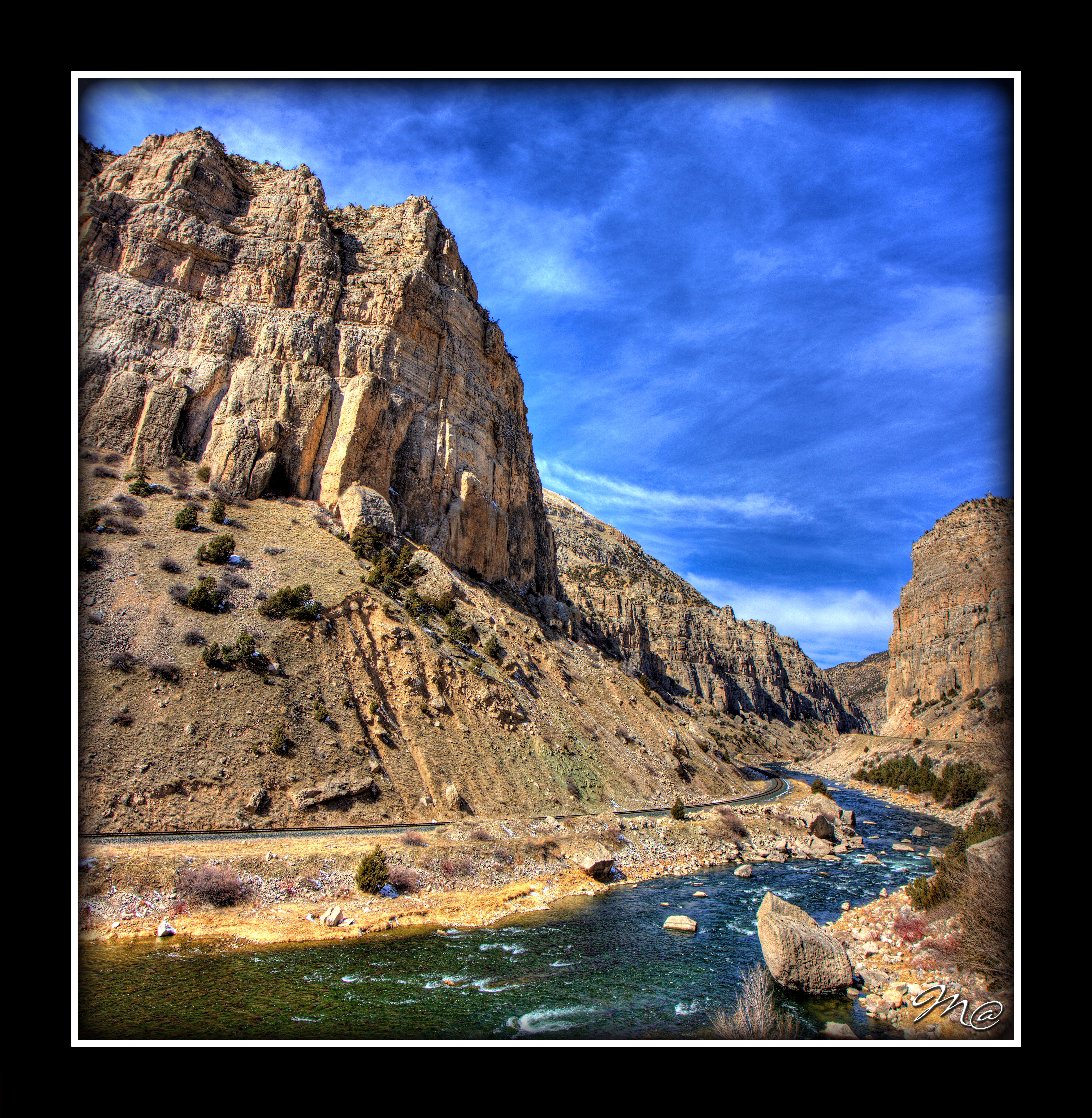
Wind River Canyon
Windriver Canyon Vertorama 2
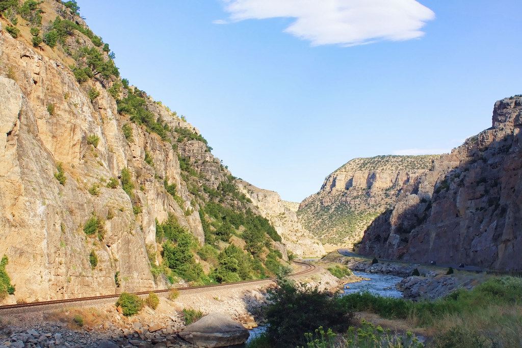
Wind River Canyon
Wind River 3

Thermopolis, Wyoming
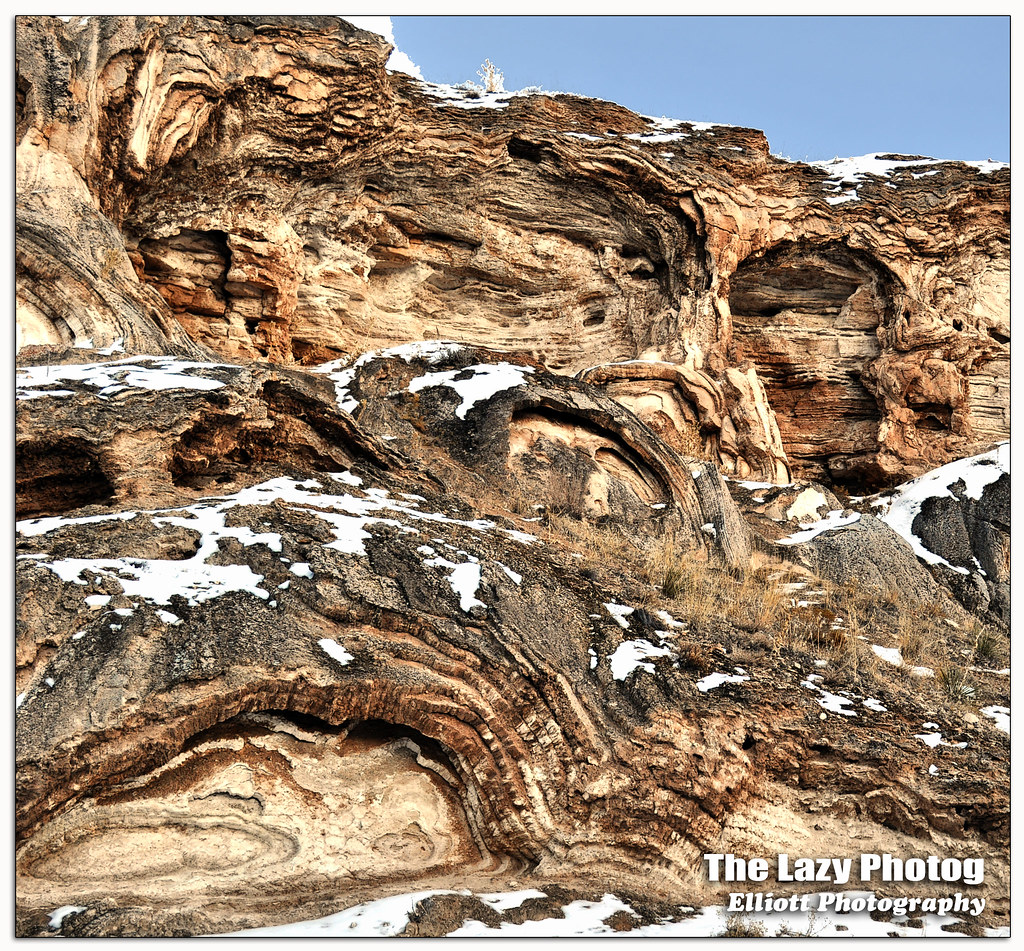
Feb 5 2016 - Rock formations a result of mineral hot springs thermal activity
Wyoming(22).jpg(2)(22)(2)
Wyoming, Thermopolis, Hot Spring (8.1)
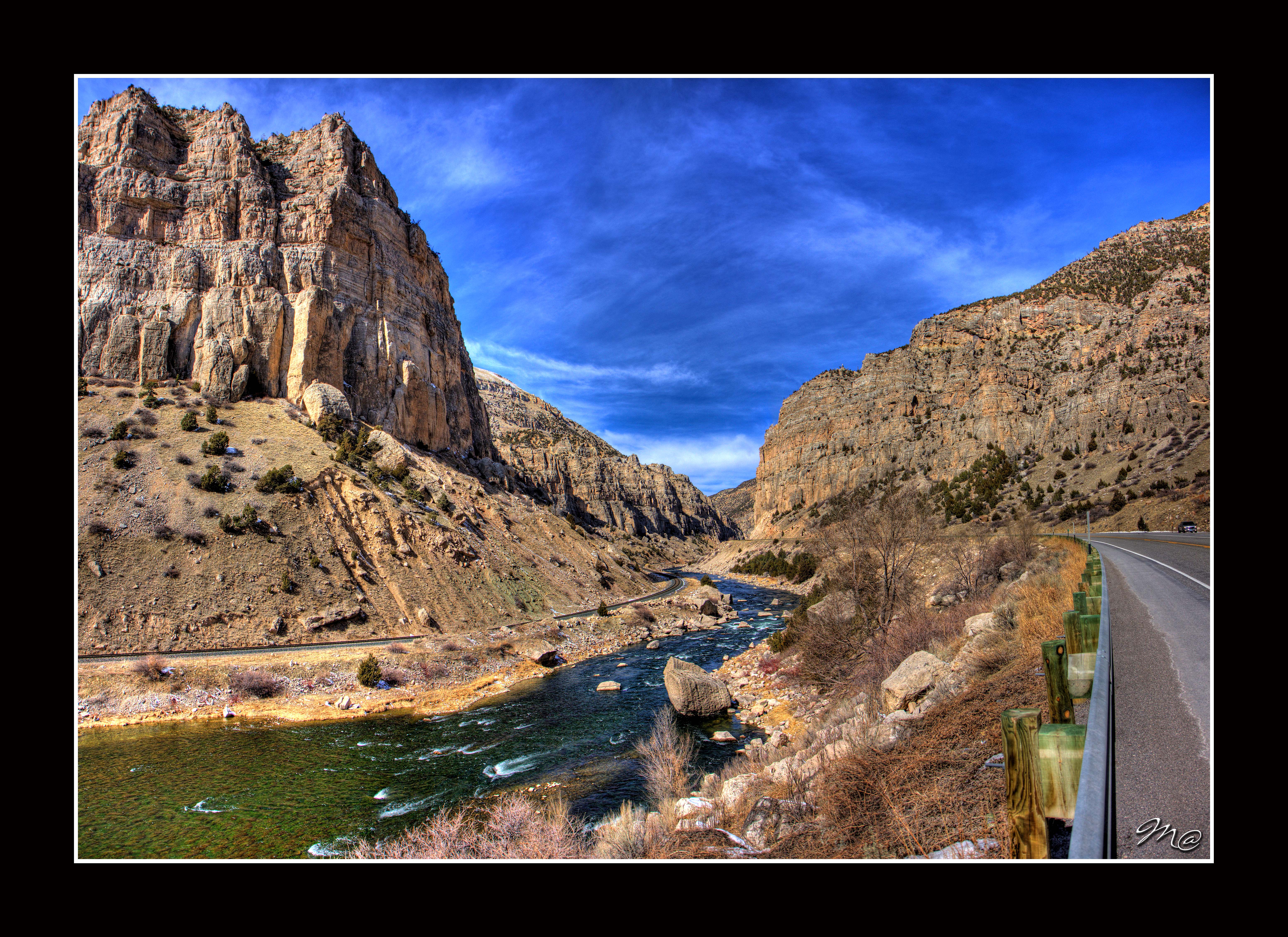
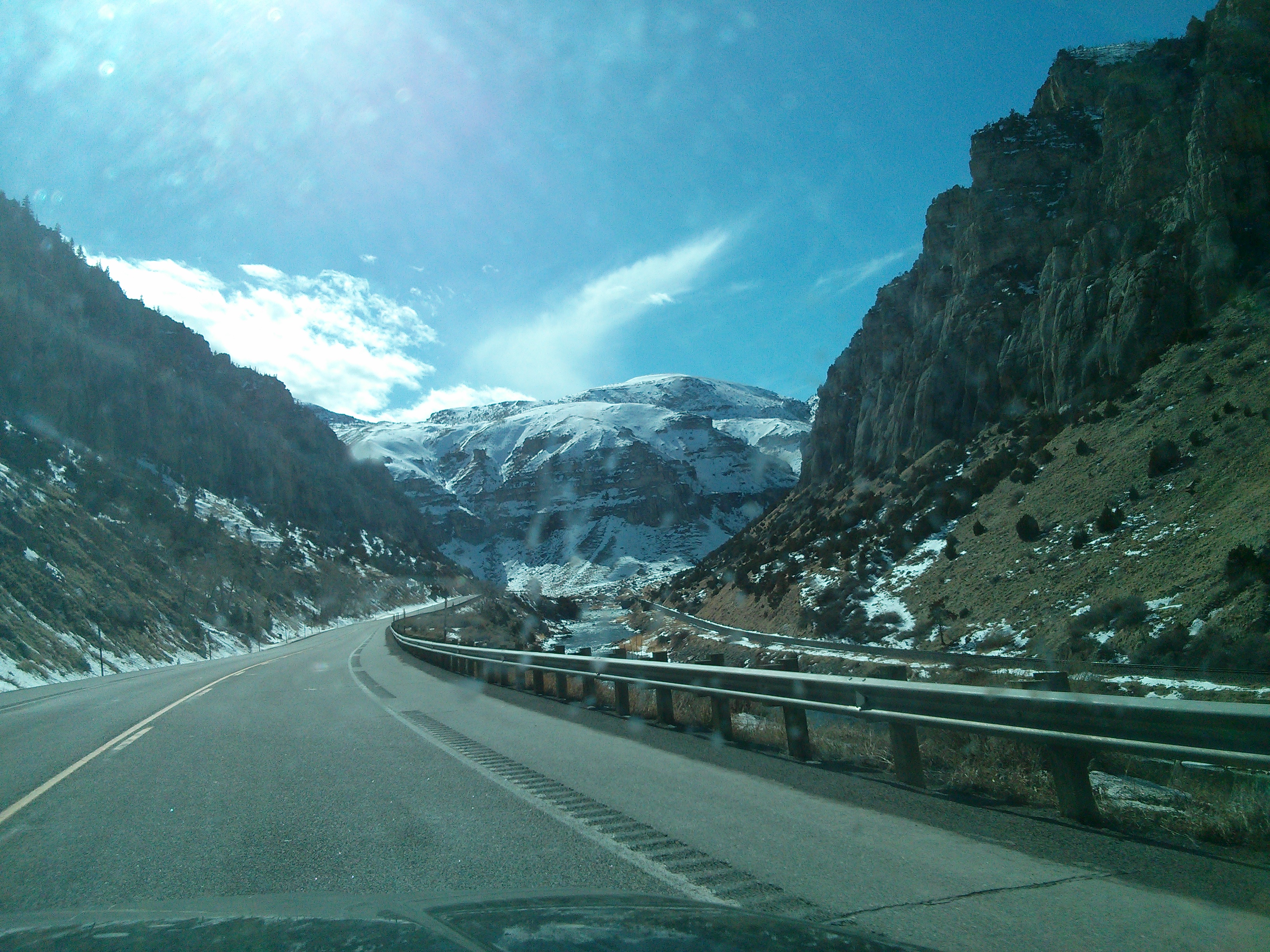
Wind River Canyon
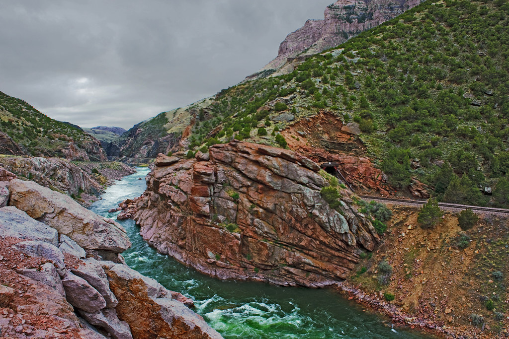
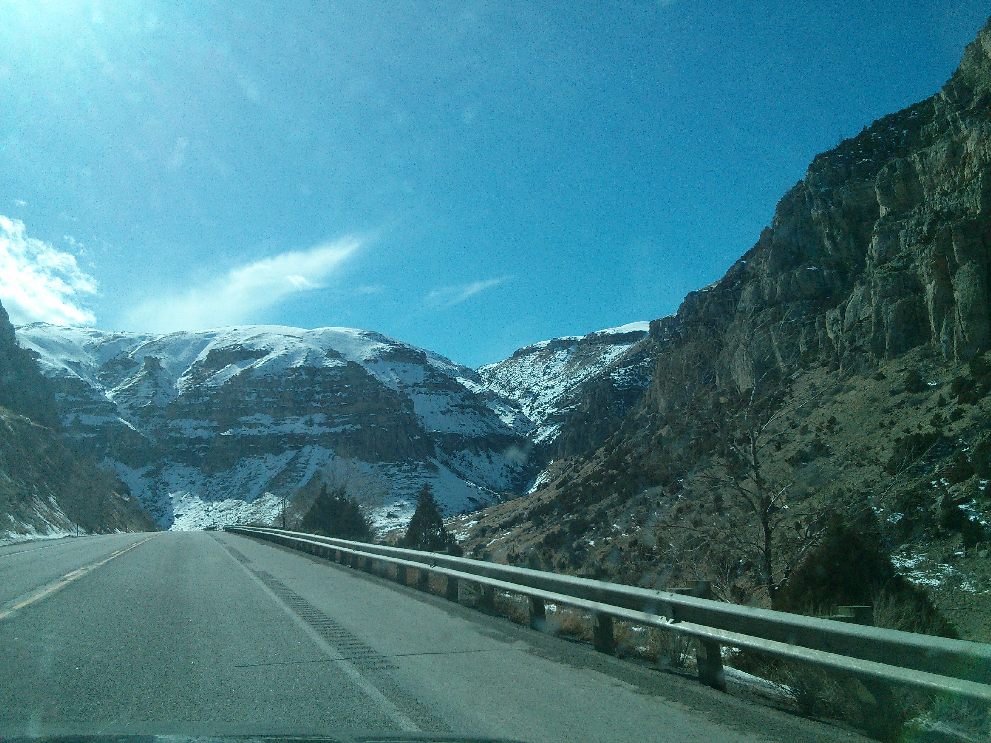
Wind River Canyon
Wyoming(22).jpg(2)(6)
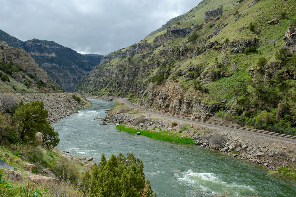
Wind River Canyon

X Marks the Spot.
Wyoming(22)(22)(2)
_MG_1160.jpg
Wyoming(22).jpg(2)(18)
Wyoming(22).jpg(2)(14)
Topographic Map of US-20, Thermopolis, WY, USA
Find elevation by address:

Places near US-20, Thermopolis, WY, USA:
Jones Creek Rd, Thermopolis, WY, USA
1117 California St
Poison Creek
Shoshoni
Campbell Livestock
65 Wyoming St, Lysite, WY, USA
37 Moneta Srv Rd, Shoshoni, WY, USA
Moneta
10 Lost Cabin Rd, Lysite, WY, USA
Arminto Rd, Arminto, WY, USA
Arminto
4176 Wy-789
Sweetwater Station
Wyoming
Gas Hills Rd, Casper, WY, USA
Powder River
Bairoil
Antelope Dr, Bairoil, WY, USA
1207 Beebe Ave
Natrona County
Recent Searches:
- Elevation of Corso Fratelli Cairoli, 35, Macerata MC, Italy
- Elevation of Tallevast Rd, Sarasota, FL, USA
- Elevation of 4th St E, Sonoma, CA, USA
- Elevation of Black Hollow Rd, Pennsdale, PA, USA
- Elevation of Oakland Ave, Williamsport, PA, USA
- Elevation of Pedrógão Grande, Portugal
- Elevation of Klee Dr, Martinsburg, WV, USA
- Elevation of Via Roma, Pieranica CR, Italy
- Elevation of Tavkvetili Mountain, Georgia
- Elevation of Hartfords Bluff Cir, Mt Pleasant, SC, USA