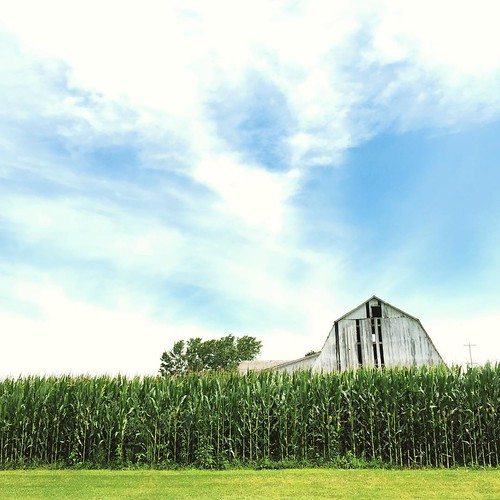
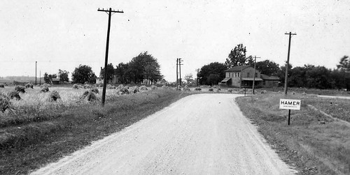
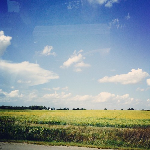
Elevation of US-20, Montpelier, OH, USA
Location: United States > Ohio > Williams County > Bridgewater Township >
Longitude: -84.602208
Latitude: 41.6437524
Elevation: 271m / 889feet
Barometric Pressure: 98KPa
Related Photos:
Topographic Map of US-20, Montpelier, OH, USA
Find elevation by address:

Places near US-20, Montpelier, OH, USA:
Bridgewater Township
104 S East Ave
Montpelier
E Jefferson St, Montpelier, OH, USA
Madison Township
OH-15, Holiday City, OH, USA
605 Empire St
Superior Township
OH-15, Montpelier, OH, USA
J Rd, Montpelier, OH, USA
Williams County
8230 Co Rd I
7082 Co Rd I
7082 Co Rd I
7082 Co Rd I
7082 Co Rd I
6899 Co Rd I
West Unity
Brady Township
Recent Searches:
- Elevation of Corso Fratelli Cairoli, 35, Macerata MC, Italy
- Elevation of Tallevast Rd, Sarasota, FL, USA
- Elevation of 4th St E, Sonoma, CA, USA
- Elevation of Black Hollow Rd, Pennsdale, PA, USA
- Elevation of Oakland Ave, Williamsport, PA, USA
- Elevation of Pedrógão Grande, Portugal
- Elevation of Klee Dr, Martinsburg, WV, USA
- Elevation of Via Roma, Pieranica CR, Italy
- Elevation of Tavkvetili Mountain, Georgia
- Elevation of Hartfords Bluff Cir, Mt Pleasant, SC, USA
