Elevation of US-20, Carlisle, NY, USA
Location: United States > New York > Schoharie County > Carlisle >
Longitude: -74.463667
Latitude: 42.7564538
Elevation: 420m / 1378feet
Barometric Pressure: 96KPa
Elevation Map:
Satellite Map:
Related Photos:

D&H 2306 Cobleskill Coal

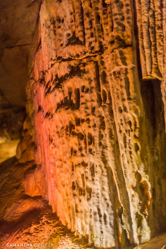
Caverna Magica ( Explore 9/7/09 #496)

Ingold-Schaeffer New World Dutch Barn

pond eyes
The Pipe Organ Up Close

Washington Hotel
looking north

Old Stone Fort Cemetery

Old Stone Fort Cemetery 2

Old Stone Fort Cemetery 3

old barns
earth's view 1

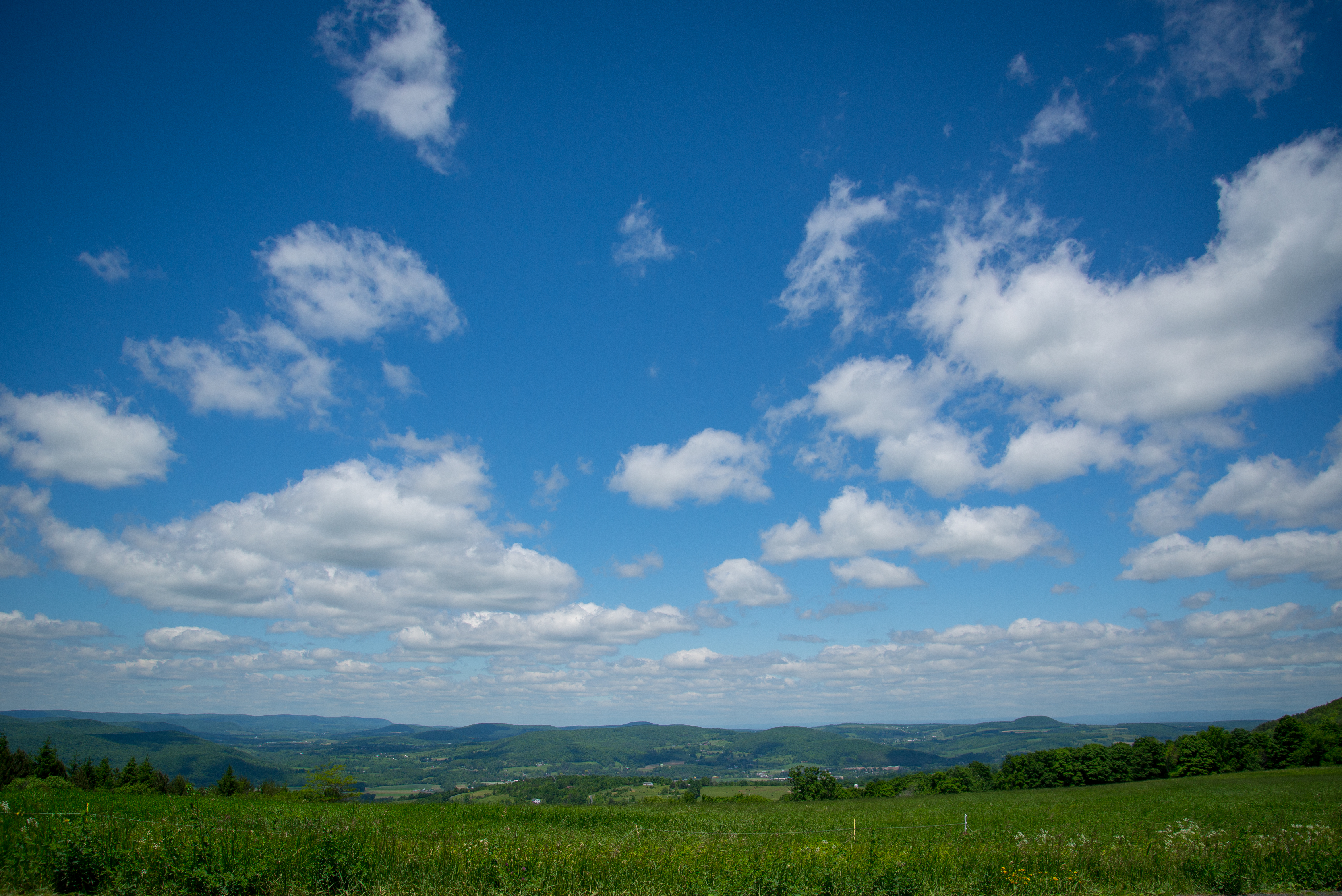
Valley views, Sharon Spings NY (Route 20)

wasps weave paper patterns

library heart

Howe Caverns Motorcycle: Rear View

Schoharie Old Stone Fort

Howe Caverns Motorcycle: Front View

Schoharie Creek

White Sulfur Temple
Schoharie Valley Views
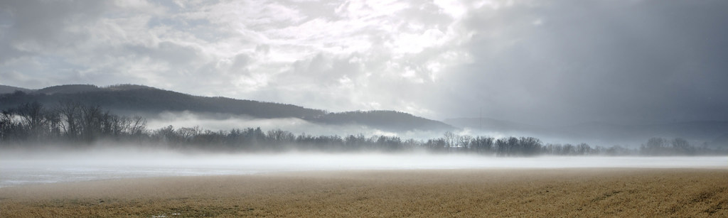
Misty Fields

D&H 7406 Richmondville Hill
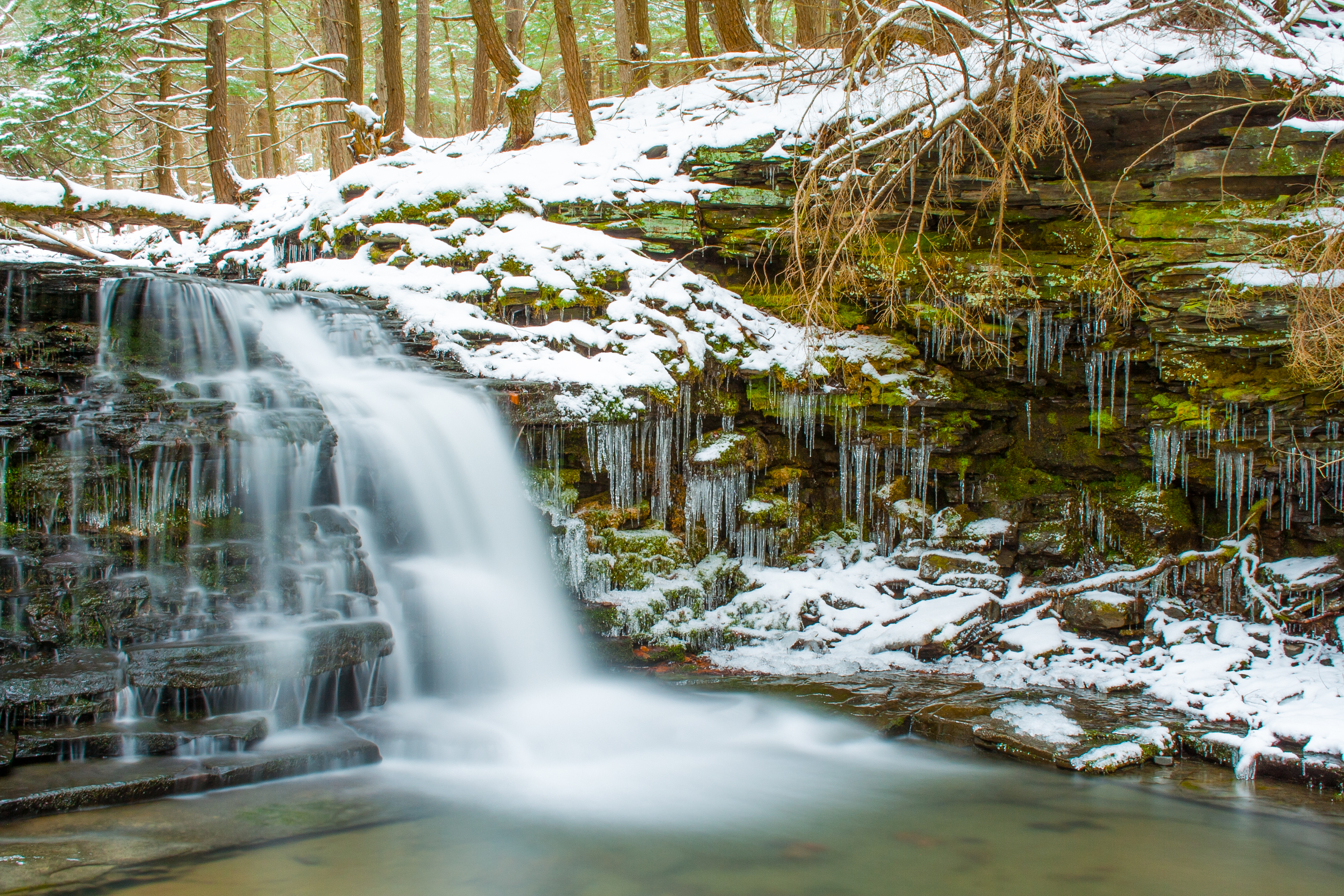
HDR Waterfall

Bridge Over Fox Creek

Fox Creek

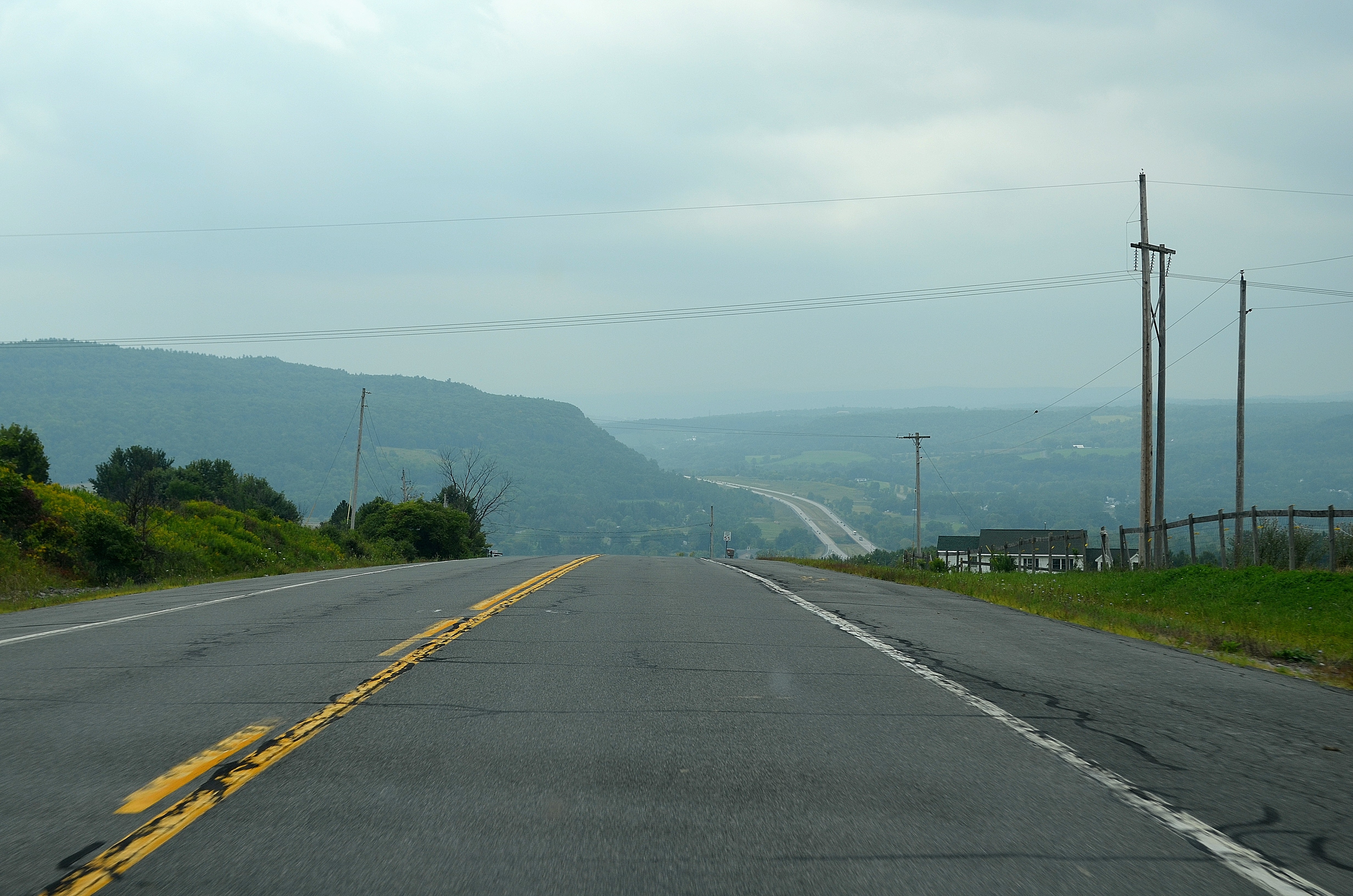
On a beautiful couldy day - Howes Cave, Catskill Mountains, NY

fall rainbow
Winter Stream

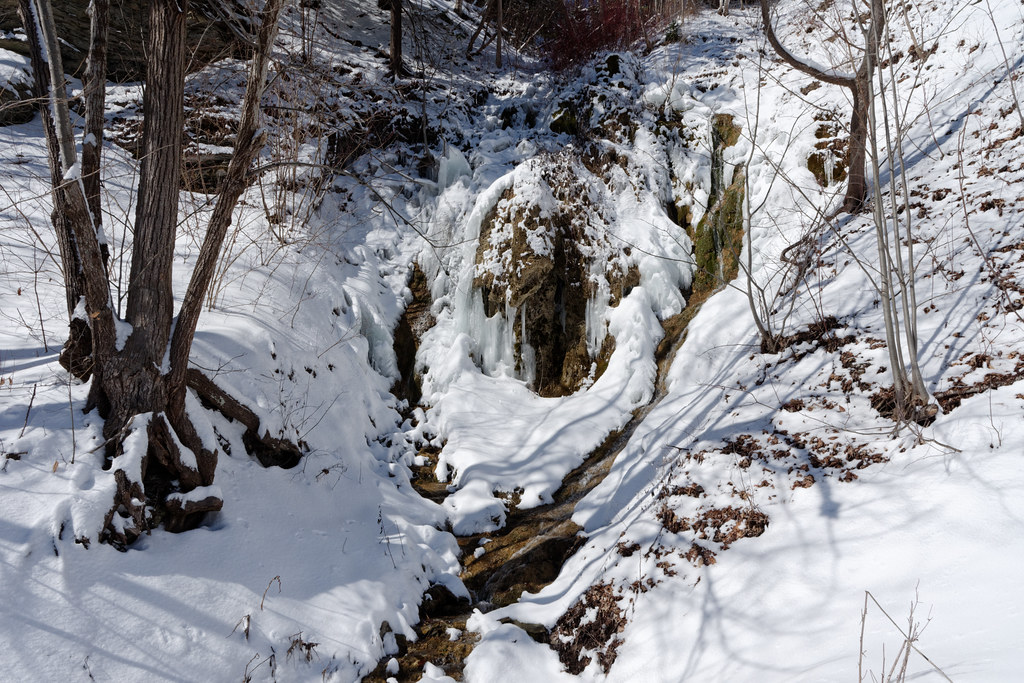
Dripping Rock

The Dock
Yatesville Falls

For the Ages

samsebeskazal.livejournal.com-01777.jpg

Victorian barns at Clausen Farm

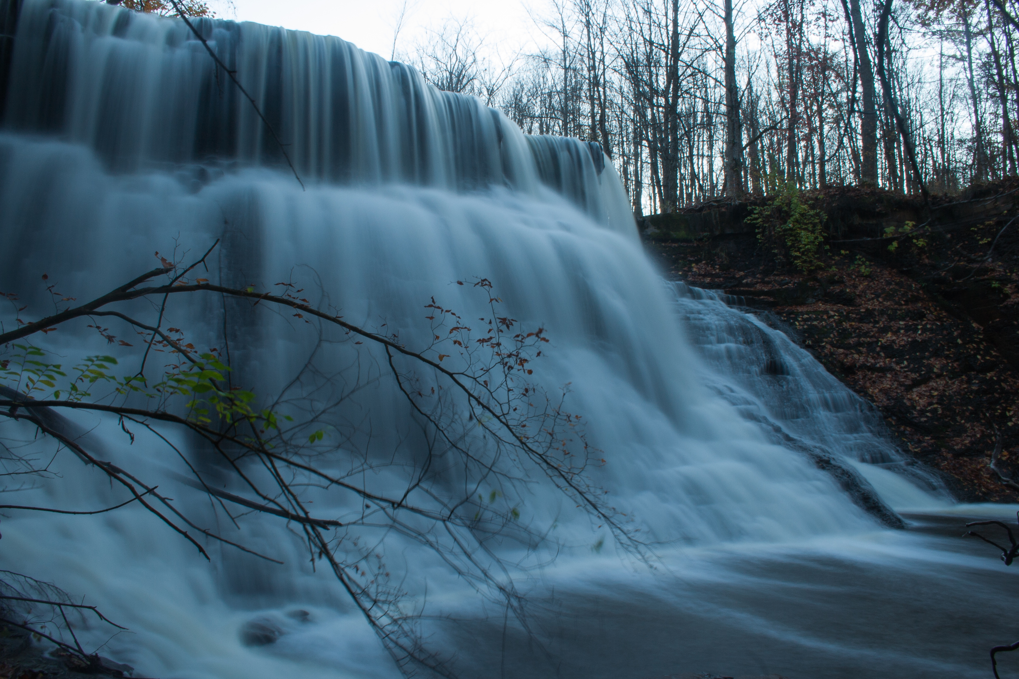
Stony Creek Waterfall

View of Adler Hotel from Clausen Farm

Rock Formations at Howe Caverns Part 2

Stone Wall
Topographic Map of US-20, Carlisle, NY, USA
Find elevation by address:

Places near US-20, Carlisle, NY, USA:
Carlisle
334 Lake Rd
334 Lake Rd
1041 E Lykers Rd
422 Argusville Rd
1723 Latimer Hill Rd
345 Beckers Corners Rd
345 Beckers Corners Rd
Root
459 Ice Cave Rd
159 Shenendoah Dr
556 E Corbin Hill Rd
Sloansville, NY, USA
Rural Grove
123 Freeds Rd
Root Town Clerk
3207 Us-20
914 Rankan Grove Rd
Charleston
NY-, Sprakers, NY, USA
Recent Searches:
- Elevation of Corso Fratelli Cairoli, 35, Macerata MC, Italy
- Elevation of Tallevast Rd, Sarasota, FL, USA
- Elevation of 4th St E, Sonoma, CA, USA
- Elevation of Black Hollow Rd, Pennsdale, PA, USA
- Elevation of Oakland Ave, Williamsport, PA, USA
- Elevation of Pedrógão Grande, Portugal
- Elevation of Klee Dr, Martinsburg, WV, USA
- Elevation of Via Roma, Pieranica CR, Italy
- Elevation of Tavkvetili Mountain, Georgia
- Elevation of Hartfords Bluff Cir, Mt Pleasant, SC, USA