Elevation of Urne, WI, USA
Location: United States > Wisconsin > Buffalo County >
Longitude: -91.89354
Latitude: 44.49897
Elevation: 248m / 814feet
Barometric Pressure: 98KPa
Elevation Map:
Satellite Map:
Related Photos:
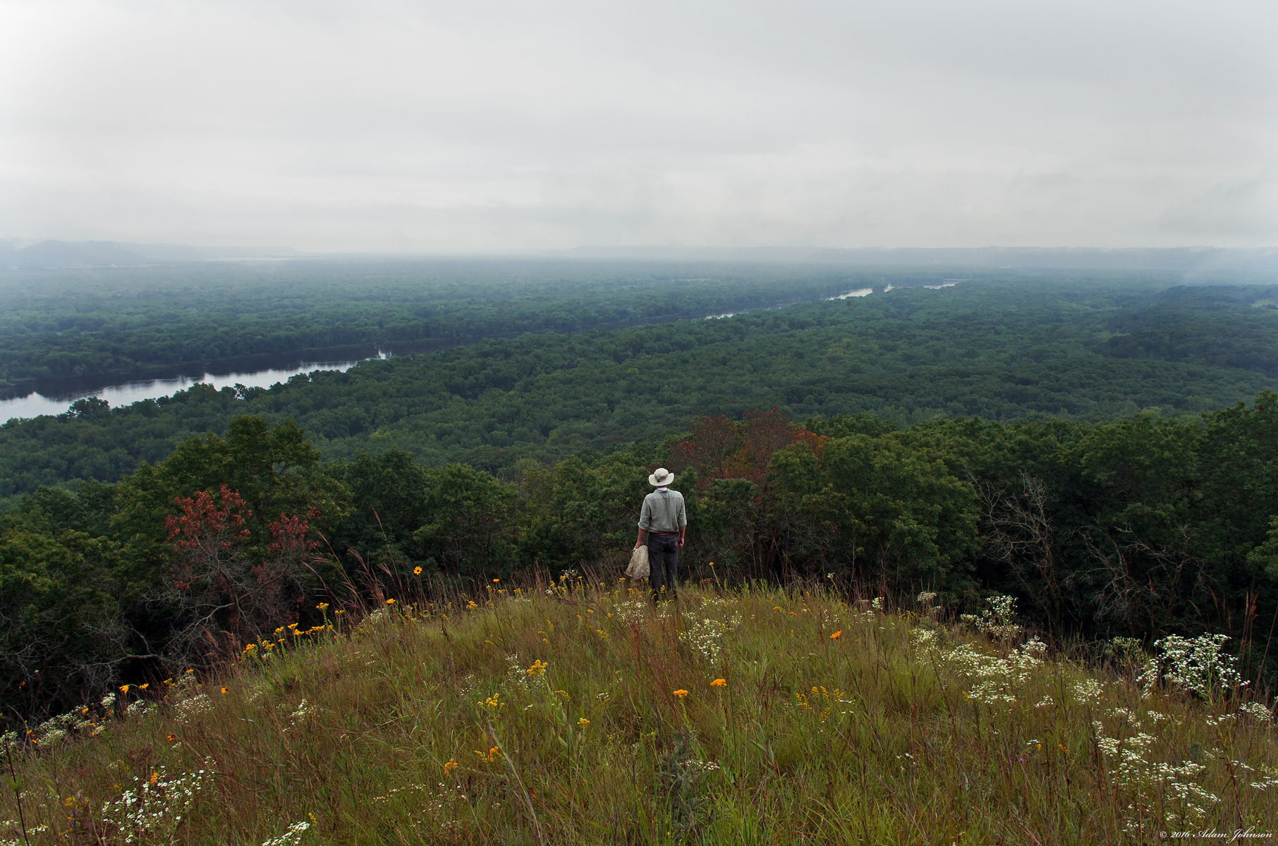
Looking Out Over a Clouded Valley

Contemplating the Climb Down
Under The Bluffs

Chippewa View Park

in memory ~ shon e richardson ~ 72 to 97

deer, railroad tracks

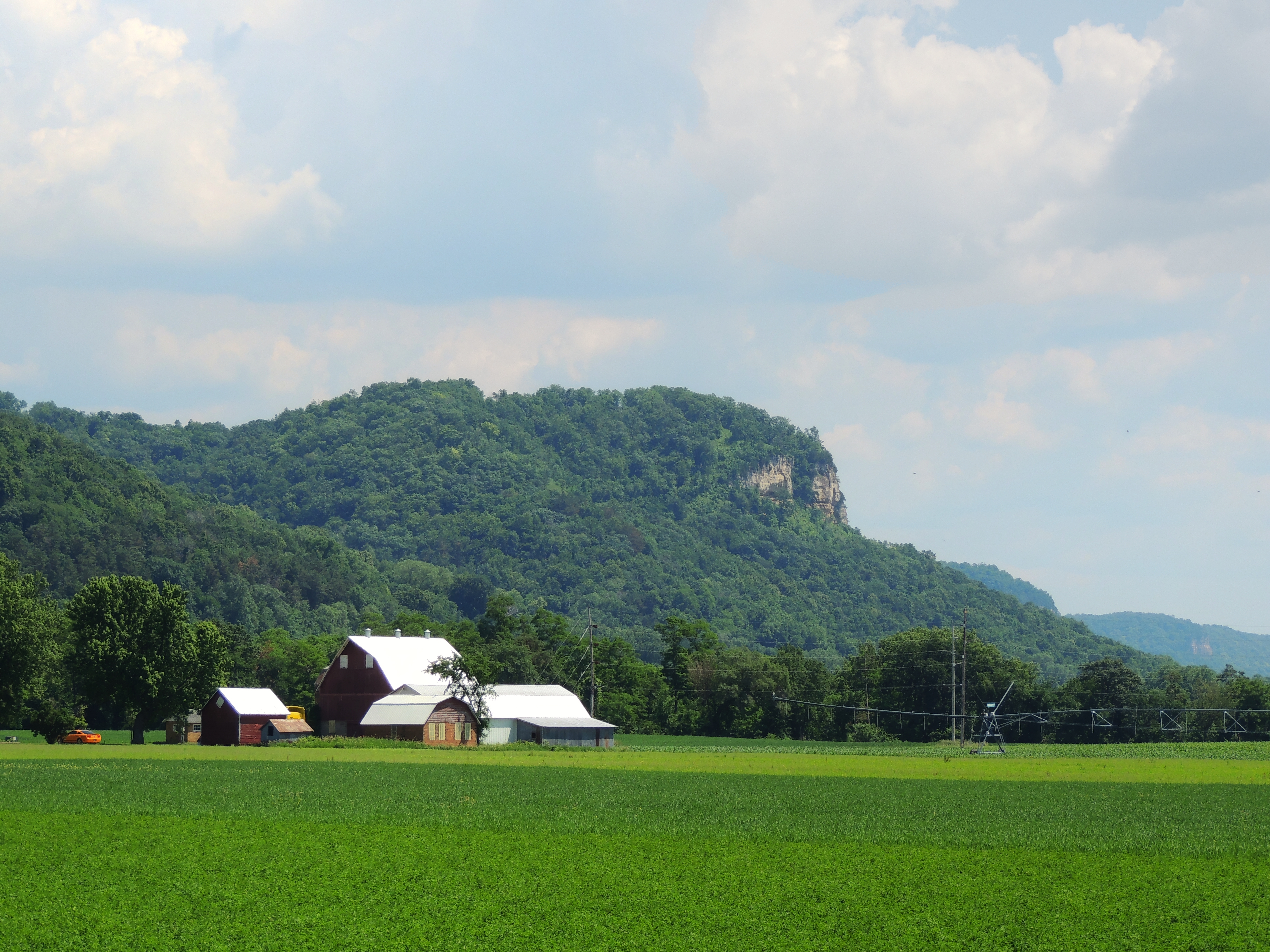
Nelson, WI bluffs, viewed from the tracks west of town

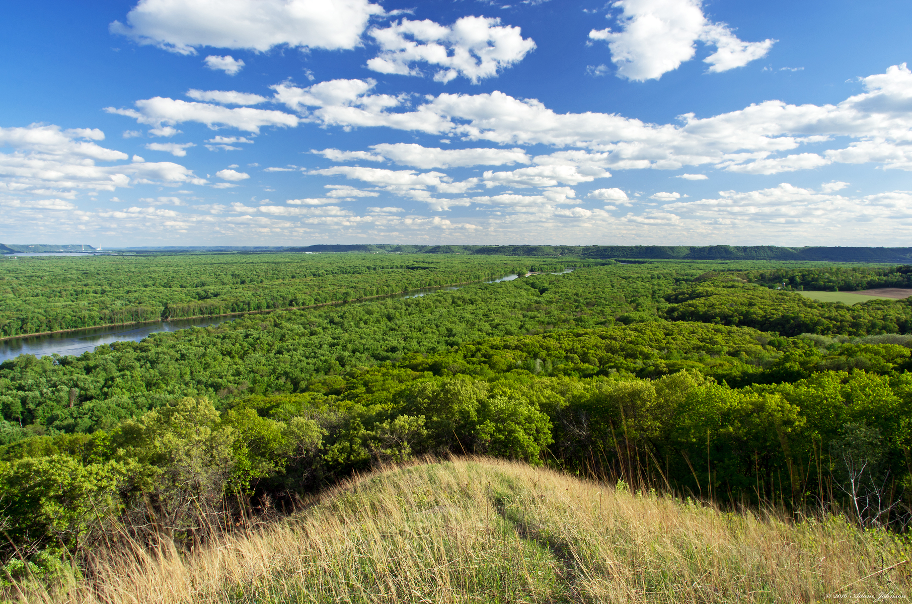
View from Five-Mile Bluff

Nelson Bluff VIews

View From Five-Mile Bluff

View from the Nelson Bluffs

Nelson Bluff VIews

Nelson Bluff VIews

Nelson Bluff VIews

Nelson Bluff VIews

Nelson Bluff VIews

View from Five-Mile Bluff

View from Five-Mile Bluff

View from Five-Mile Bluff

View from Five-Mile Bluff

Nelson-Trevino Bottoms State Natural Area

A Reflective Morning

Spring Wheat Field at Sunset

U.S. Route 10

Rolling Hills, Roiling Clouds

Fields Of Gold
Blue Sky From the Bluff

Hardwood Swamp

Hardwood Swamp

An Evening with Tennessee Watts
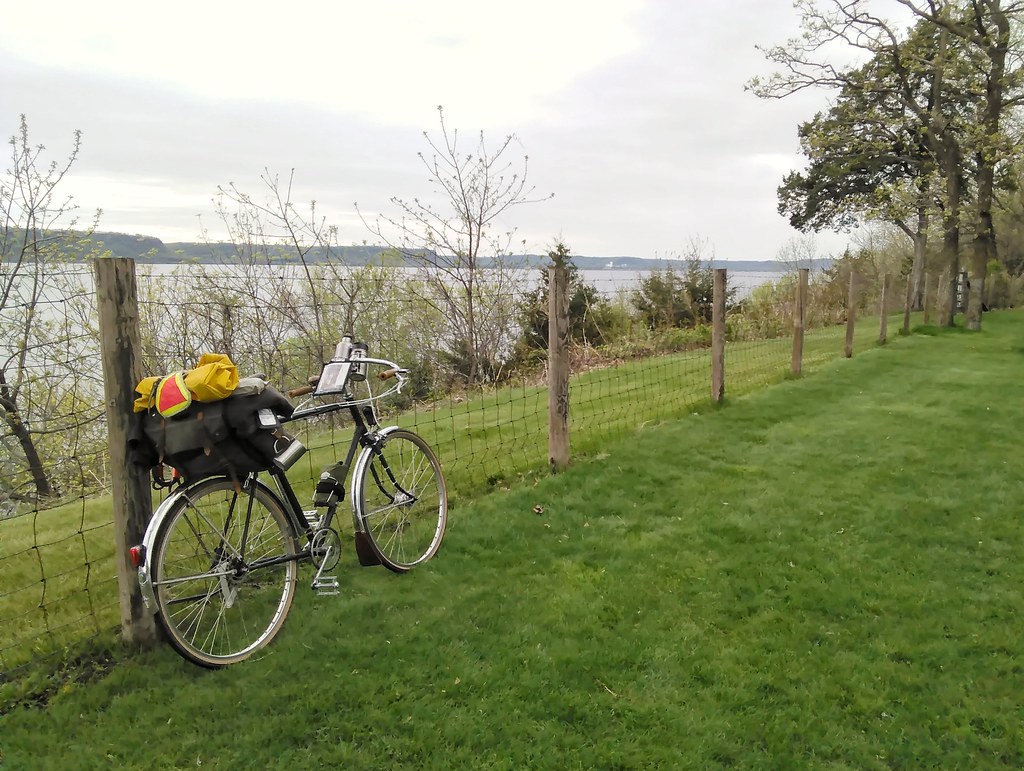
Saturday: Scenes from the Wisconsin side: From Stockholm to the state line and the second Mississippi River crossing of the day. #lakepepinthreespeedtour #pepinmplstripmay2018

School Rd Panorama

Lower Chippewa River State Natural Area

Distant Mississippi River Bluffs

An Evening with Tennessee Watts

Tiffany Wildlife Area

Five-Mile Bluff Prairie State Natural Area

Dead Lake

Lower Chippewa River/Mississippi River Valleys
Topographic Map of Urne, WI, USA
Find elevation by address:

Places near Urne, WI, USA:
Nelson
W3850
Wisconsin 35
Wisconsin 35
Nelson
N Main St, Nelson, WI, USA
15212 667th St
Buena Vista Park
1144 166th Ave
225 Lawrence Blvd W
Alma
Main St, Alma, WI, USA
155 Pembroke Ave
65114 140th Ave
S1480
Woodhaven Rd, Peru, WI, USA
Wisconsin 88
Greenfield Township
Wabasha
Dairyland Power Cooperative
Recent Searches:
- Elevation of Corso Fratelli Cairoli, 35, Macerata MC, Italy
- Elevation of Tallevast Rd, Sarasota, FL, USA
- Elevation of 4th St E, Sonoma, CA, USA
- Elevation of Black Hollow Rd, Pennsdale, PA, USA
- Elevation of Oakland Ave, Williamsport, PA, USA
- Elevation of Pedrógão Grande, Portugal
- Elevation of Klee Dr, Martinsburg, WV, USA
- Elevation of Via Roma, Pieranica CR, Italy
- Elevation of Tavkvetili Mountain, Georgia
- Elevation of Hartfords Bluff Cir, Mt Pleasant, SC, USA