Elevation of Upper Salford Township, PA, USA
Location: United States > Pennsylvania > Montgomery County >
Longitude: -75.440299
Latitude: 40.2907756
Elevation: 91m / 299feet
Barometric Pressure: 100KPa
Elevation Map:
Satellite Map:
Related Photos:

Wooden Wheelchair
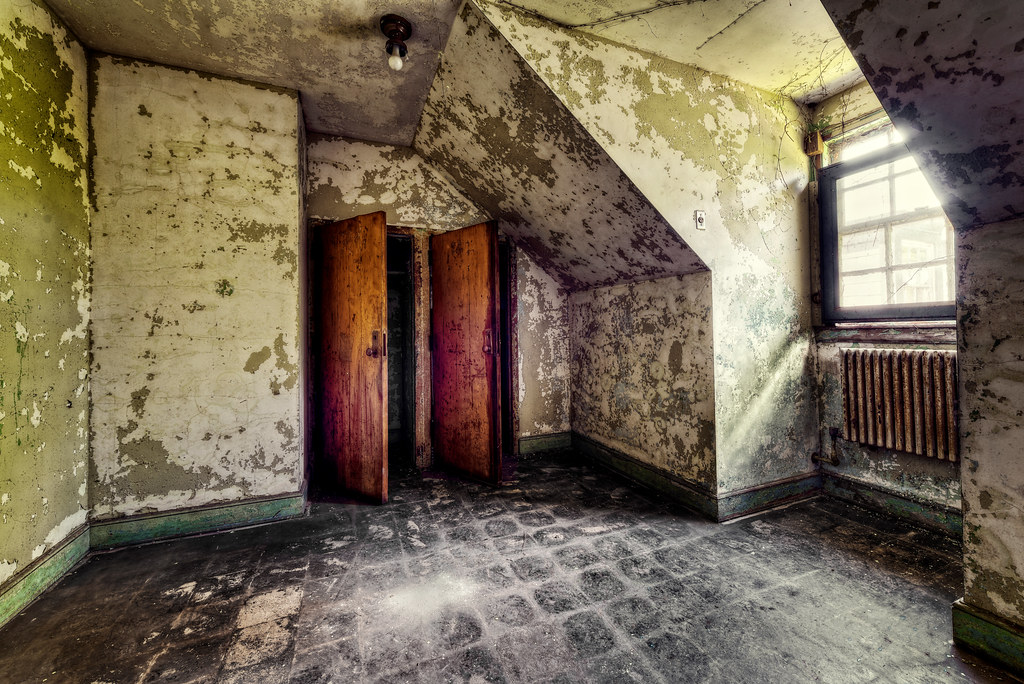
Nurse's Room

View of a thunderstorm, from my car

View of a thunderstorm, from my car
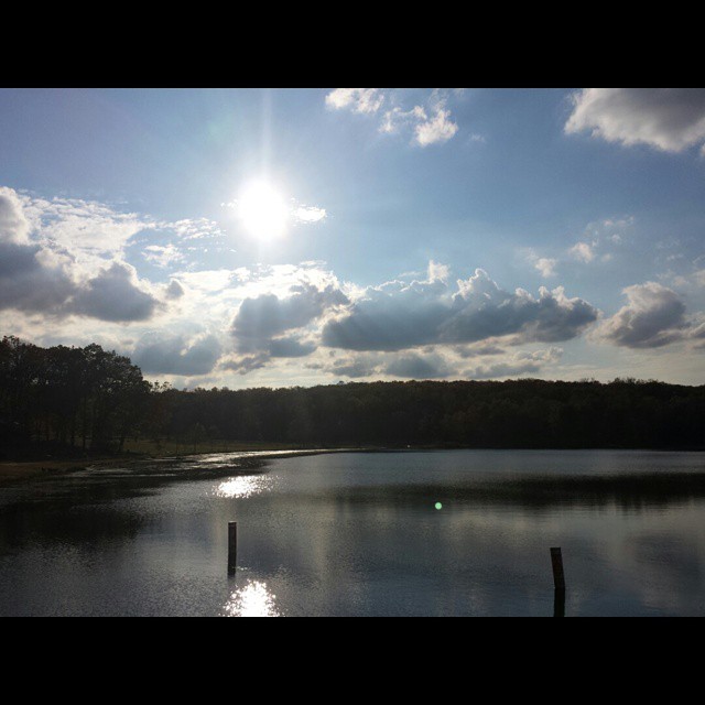
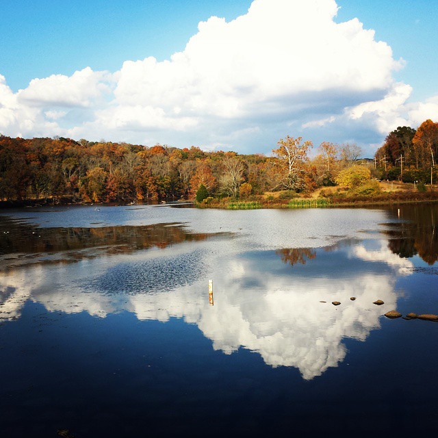
Another lake view from Green Lane

View from my car, heading north on Rte. PA-113 south of Trappe, PA
A Room with a View at The Barracks
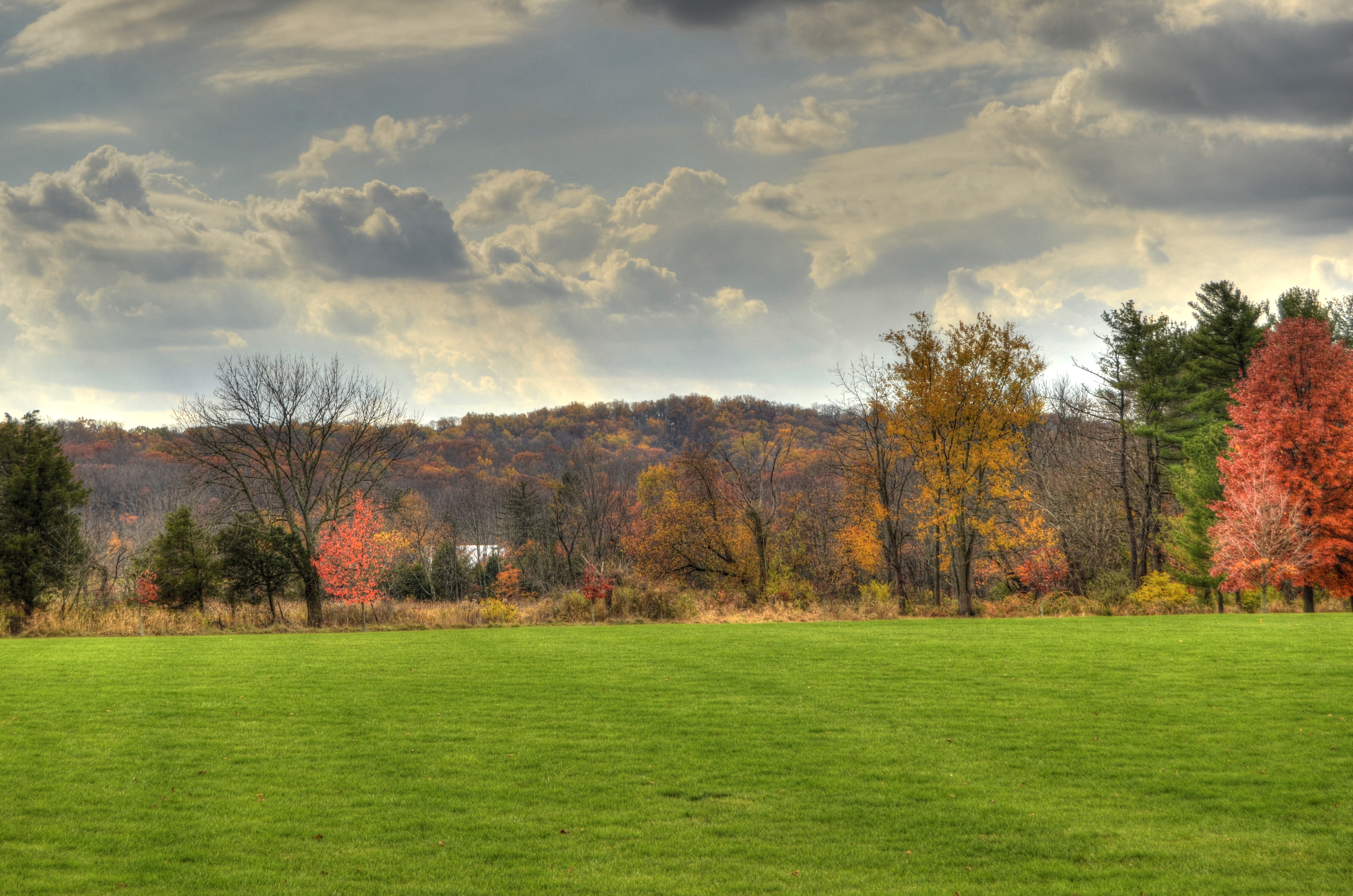
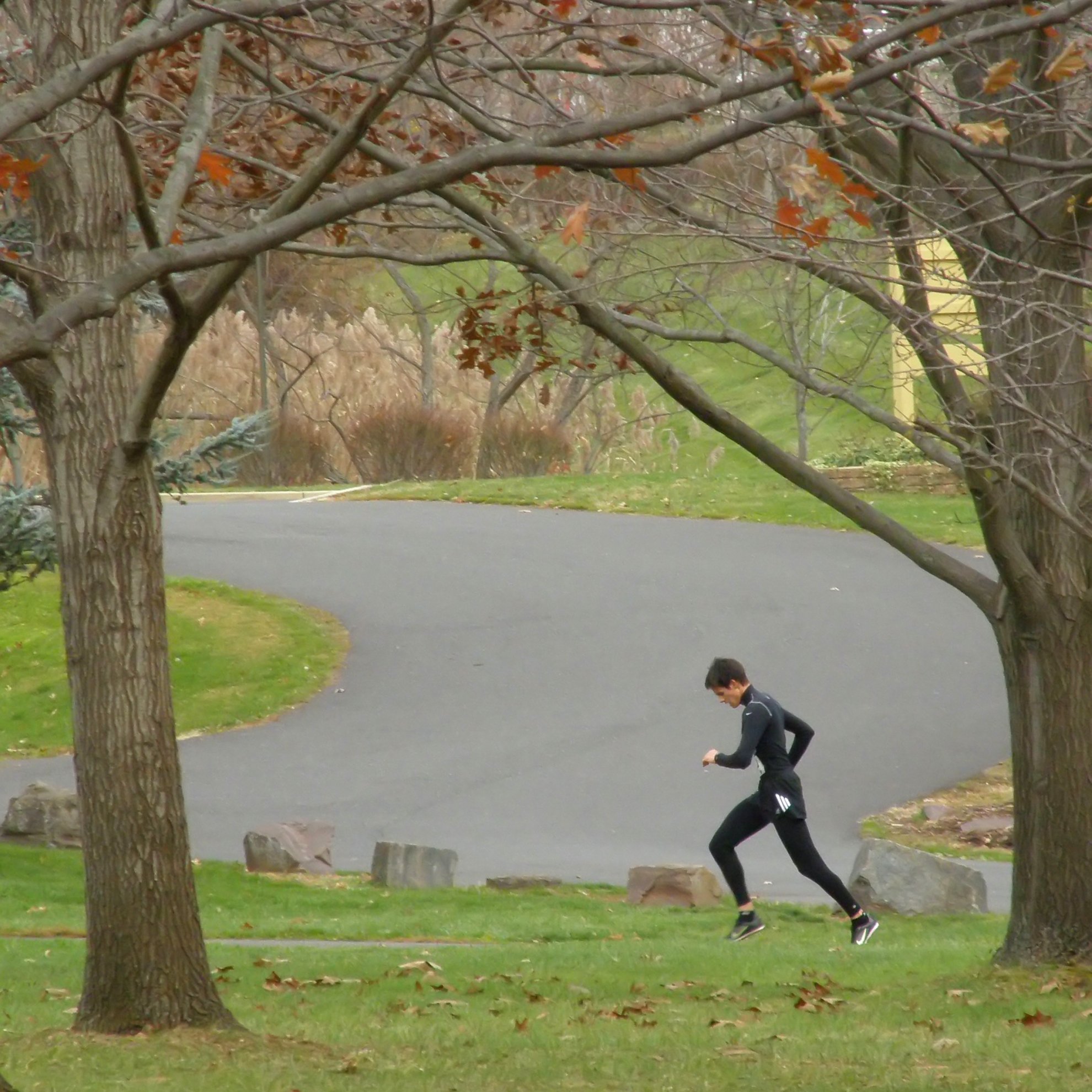
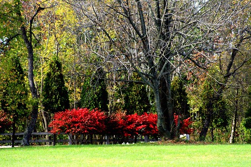
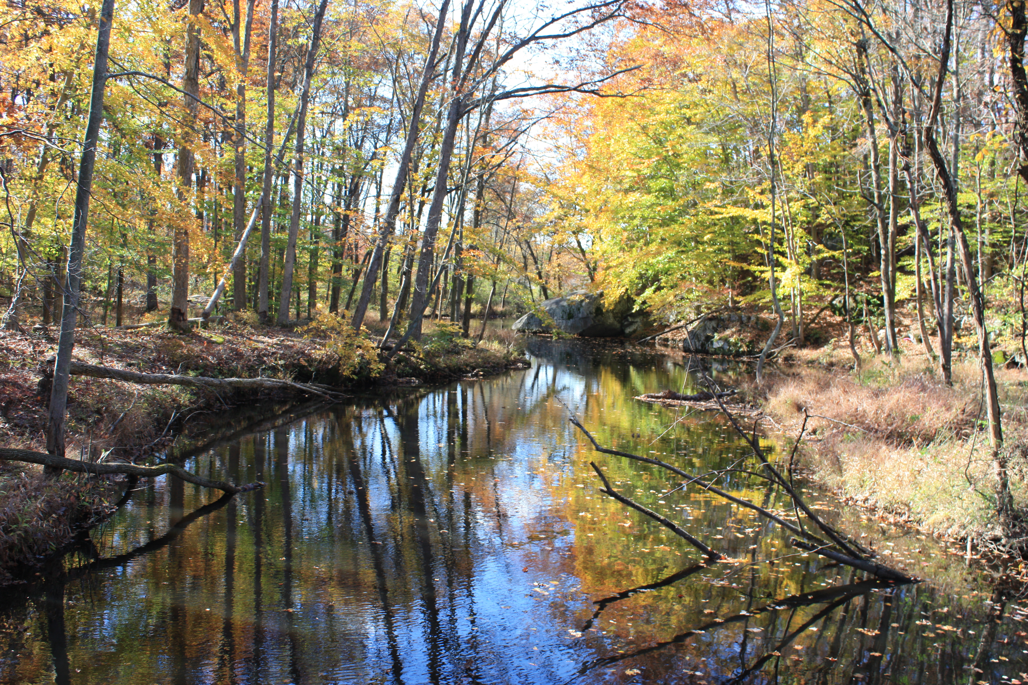
fall landscape_upper salford park
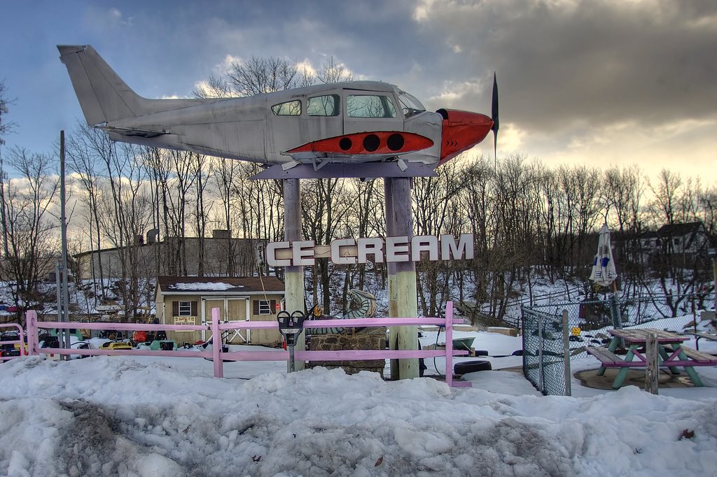
¡Mayday!

View from my car, heading north on Rte. PA-113 south of Trappe, PA
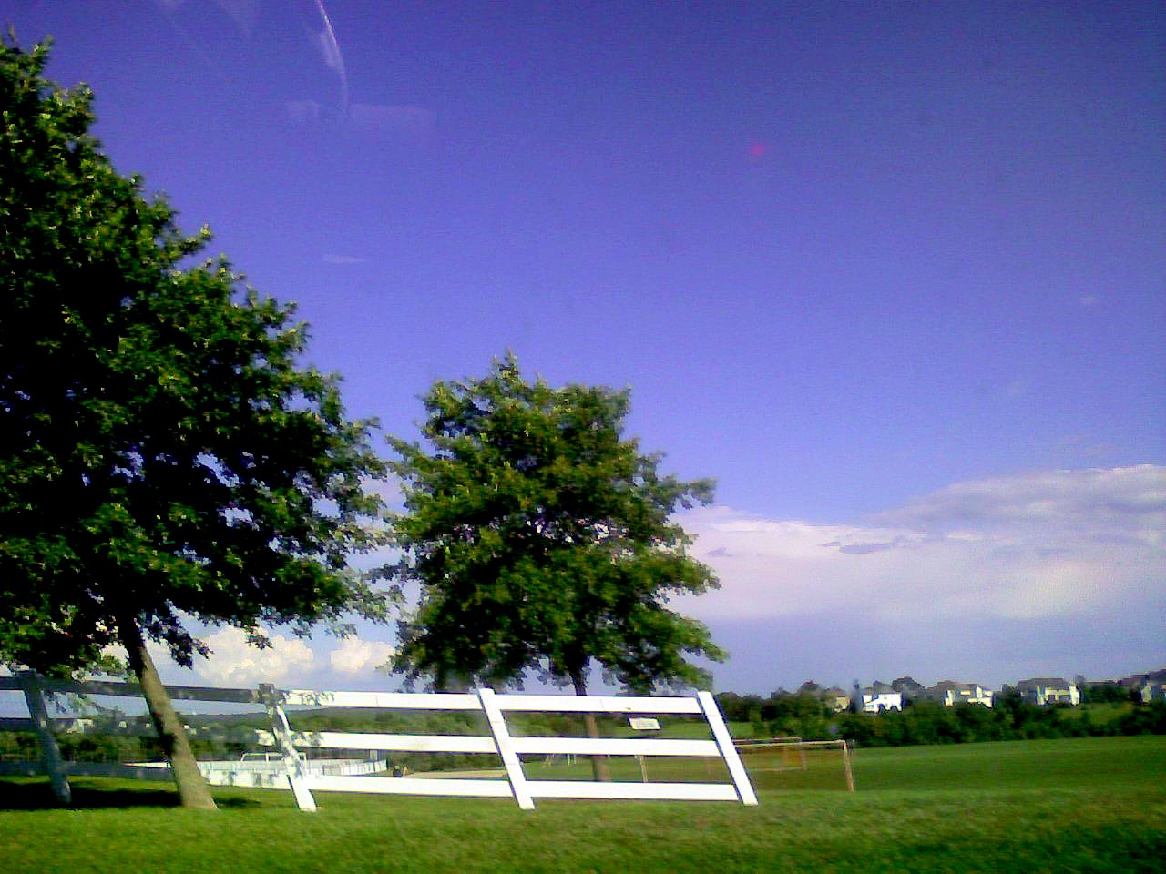
View from my car, heading north on Rte. PA-113 south of Trappe, PA

LO-VE the Winter

Unami Creek panorama

Sky-view_In_Ursinus_Monument

Wanted to see what it would look like if I used something less than a zoon lens. Here is the Orion Constellation from the waste down ????. From this view you can see Orion's belt, #Alnitak #Alnilam #Mintaka, along with the Horsehead Nebula #NGC2023 - T

David's Long Hair 1978
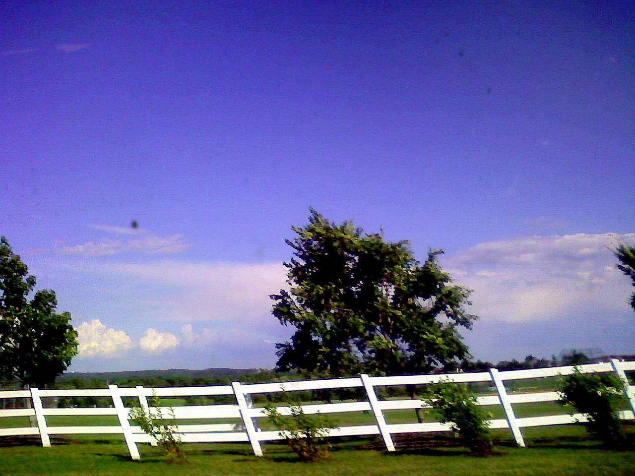
View from my car, heading north on Rte. PA-113 south of Trappe, PA
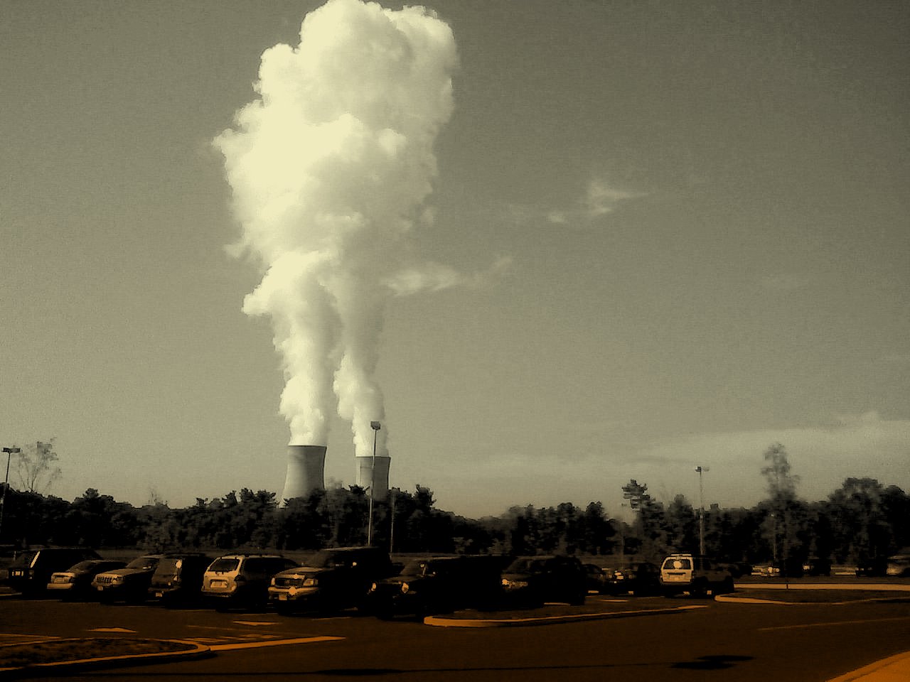
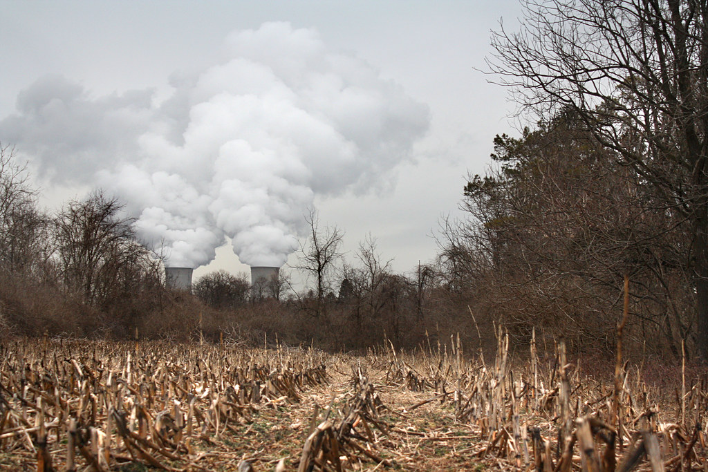
View of cooling towers, Limerick Generating Station, seen from the parking lot of Philadelphia Premium Outlets, Limerick, PA
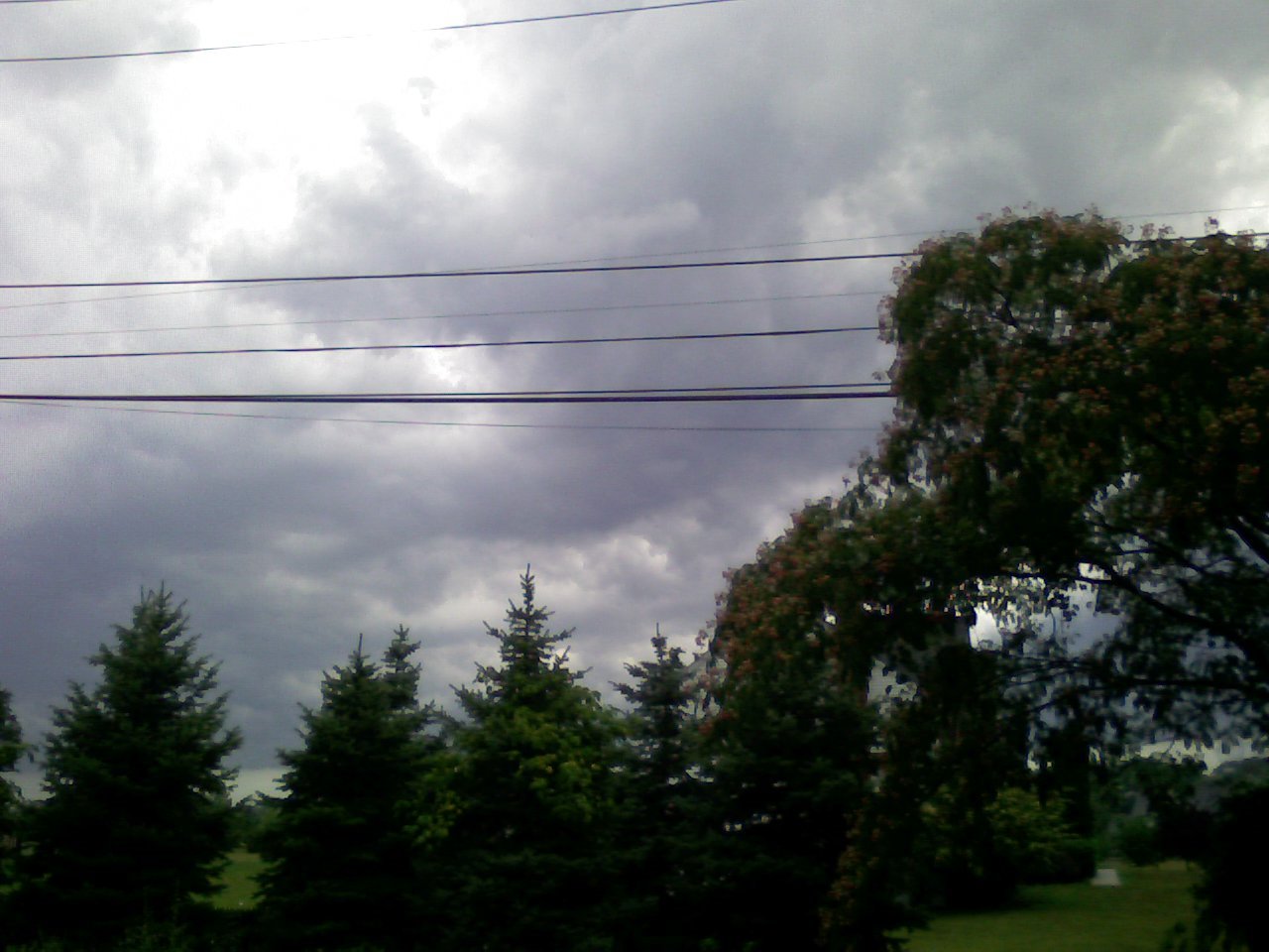
View of a thunderstorm, from my car
Lonely Out Front

Day 6: View from here

foot bridge

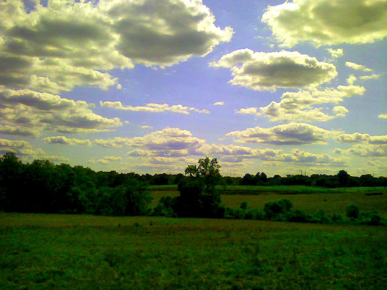
Clouds Over Weeds
perkiomen_old warehouse1
"All I see are heavy skies...

Good Morning Winter!
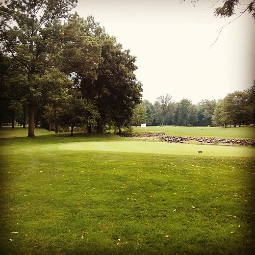
Side lawn
A little photography session at Green Lane. #reflection #Autumn #fall
black rock sanctuary
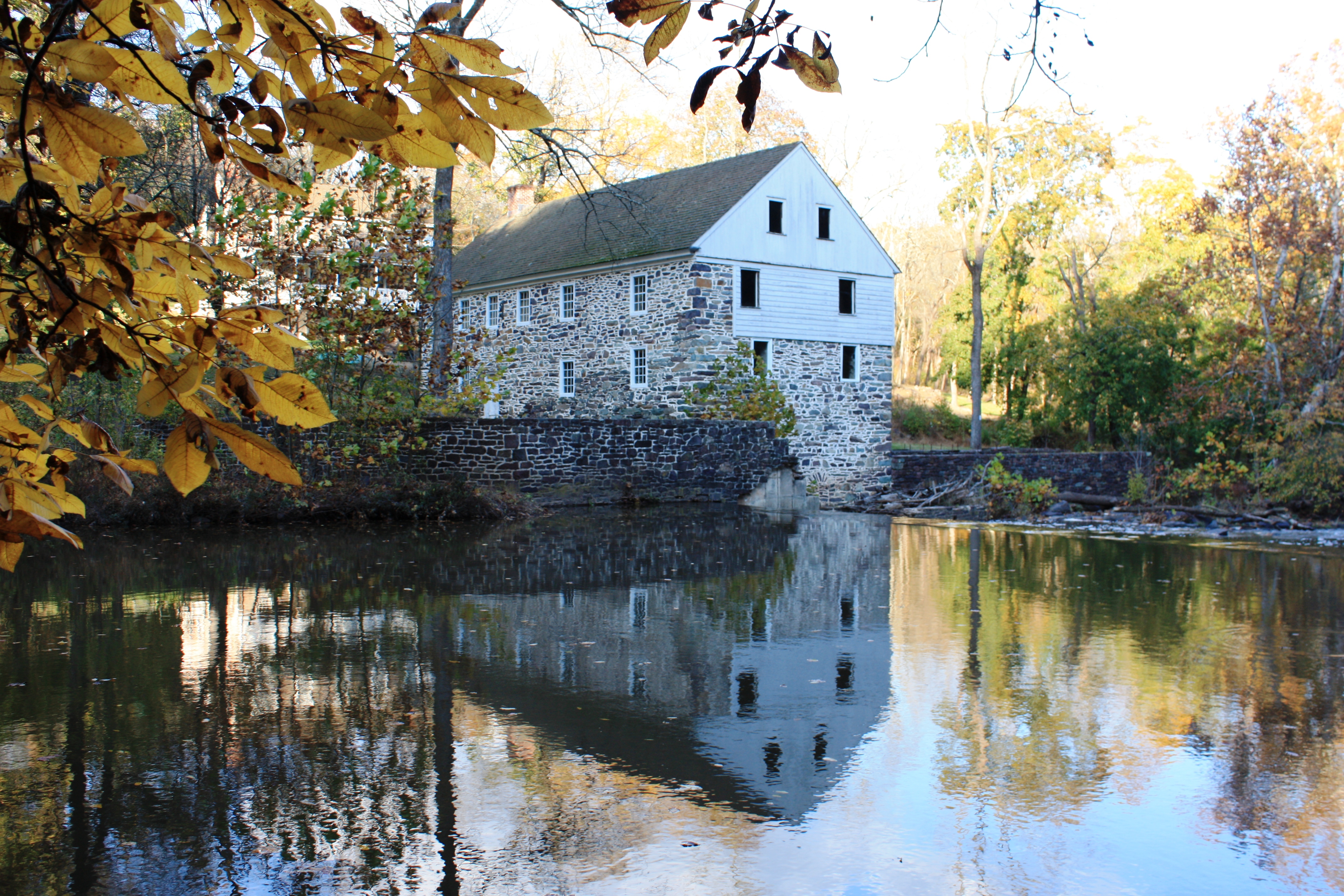
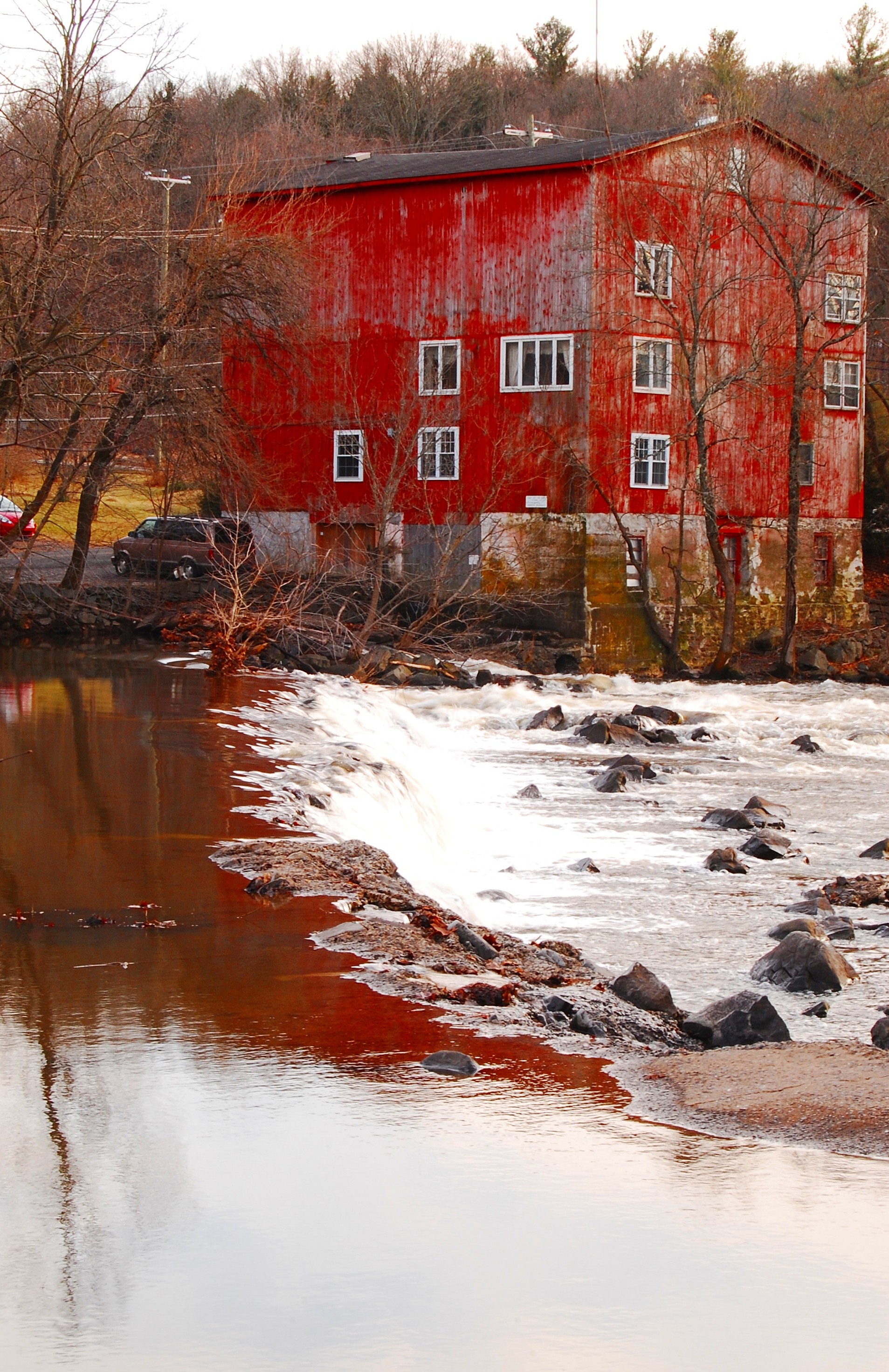
SunRise Mill
Ridge Valley Creek IV
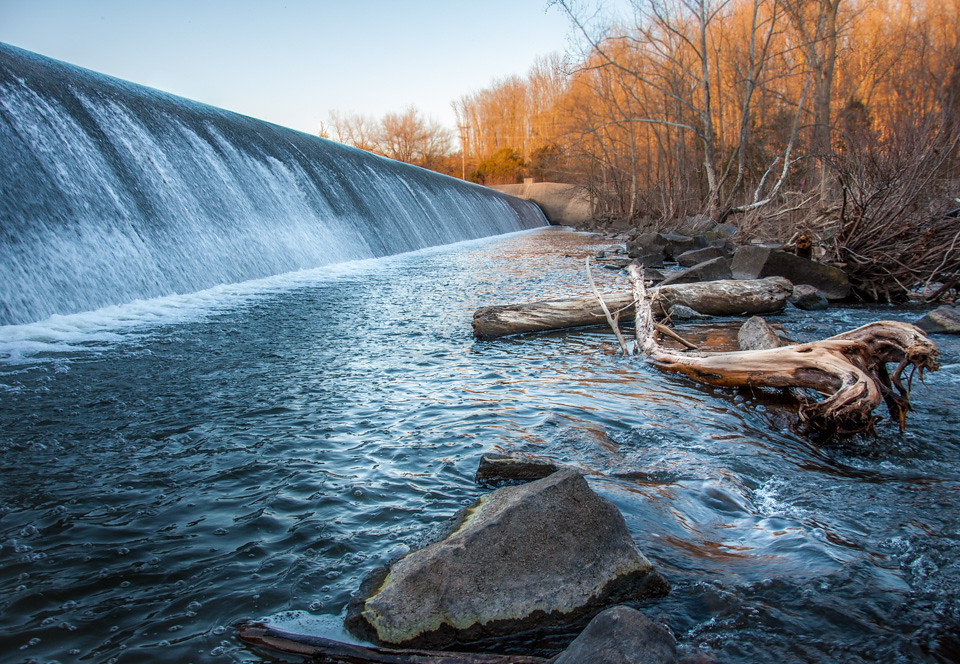
Dam At Green Lane.jpg

Horse Farm - Beautiful Fall Day
Evansburg, Pennsylvania
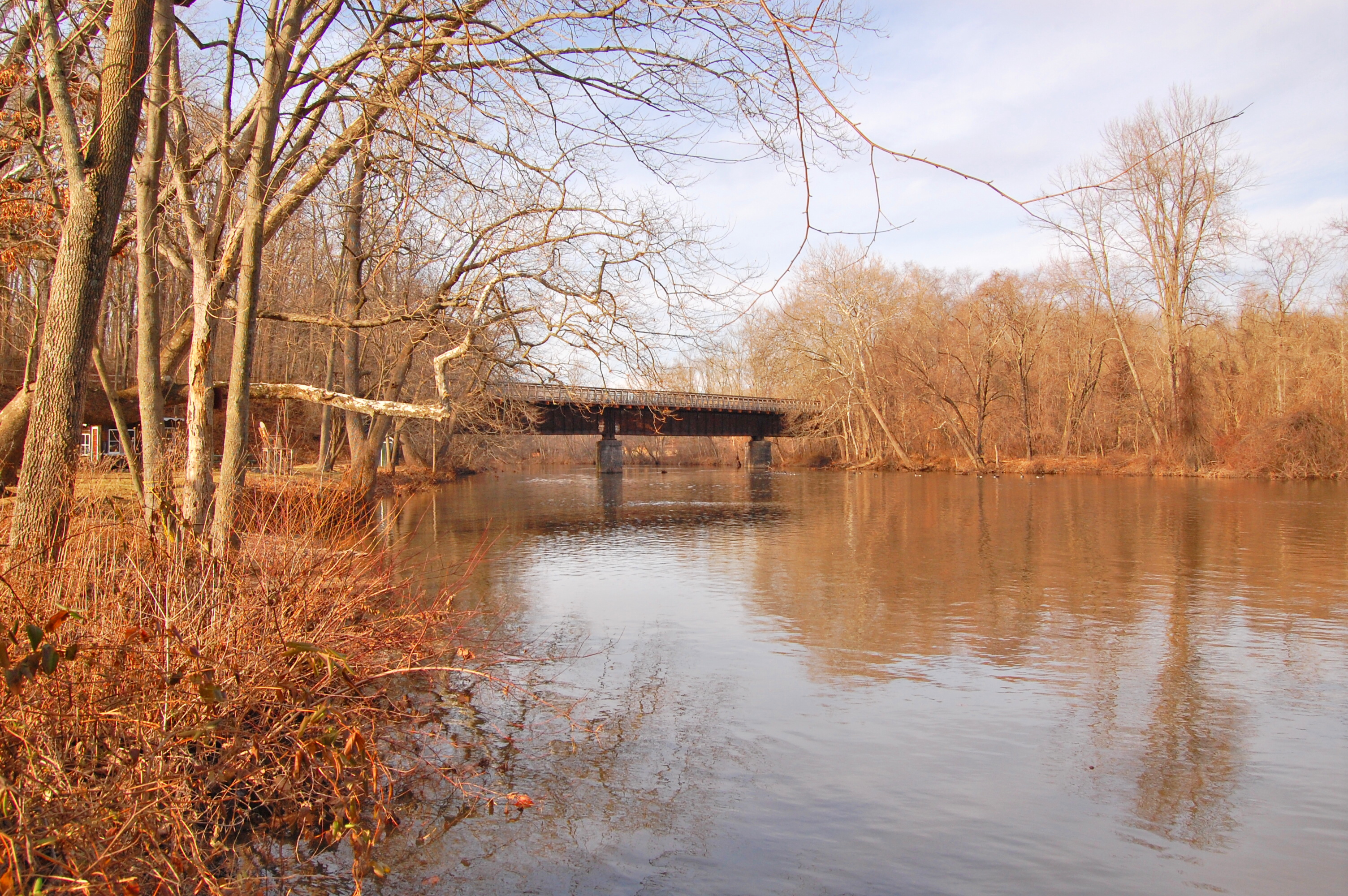
Old Route 29 Bridge over Swamp Creek
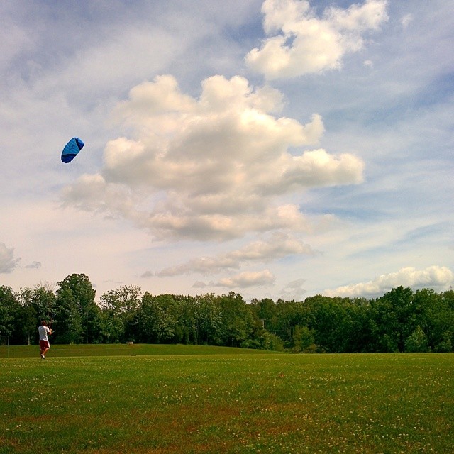
Perfect day for kite flying.
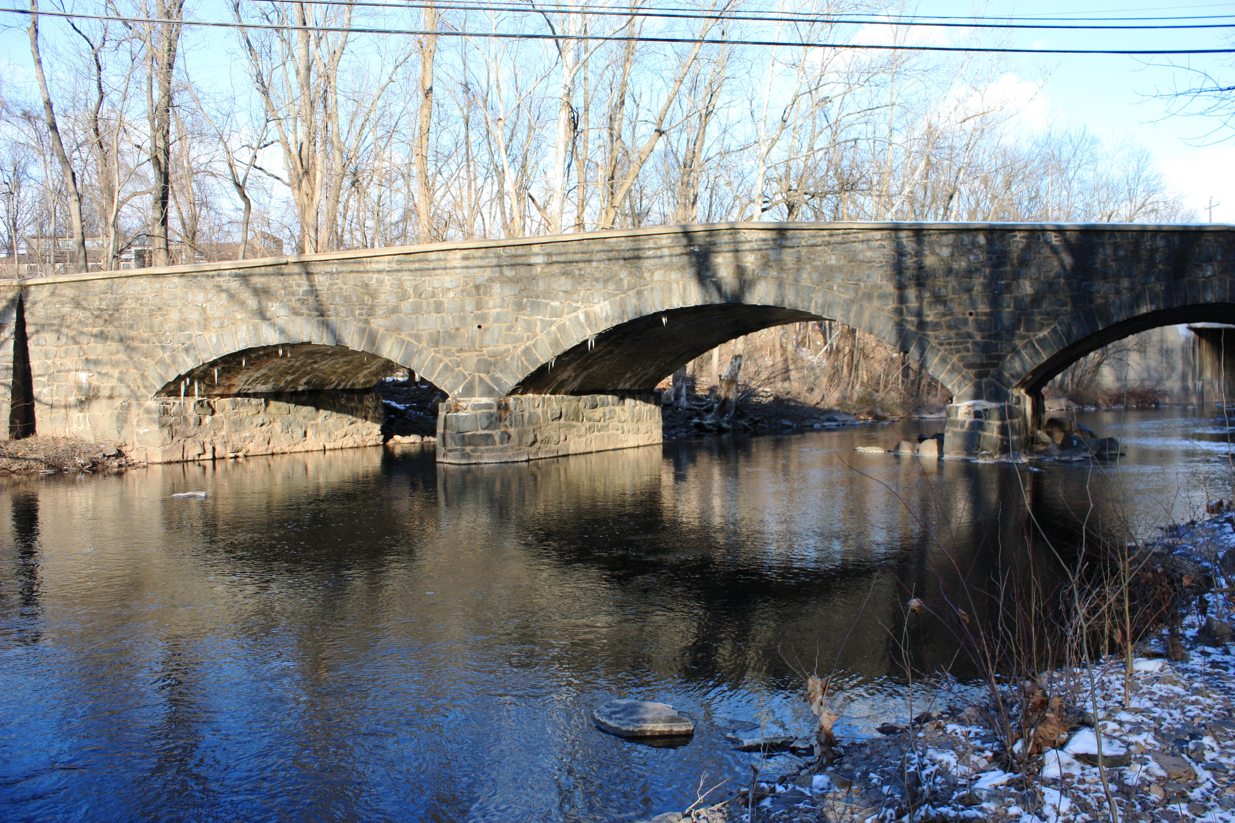
perkiomen bridge1
Western horizon, seen from Upper Schuylkill Valley Park
Not a bad day.

IMG_2889.JPG
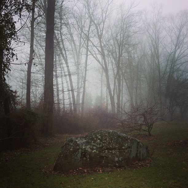
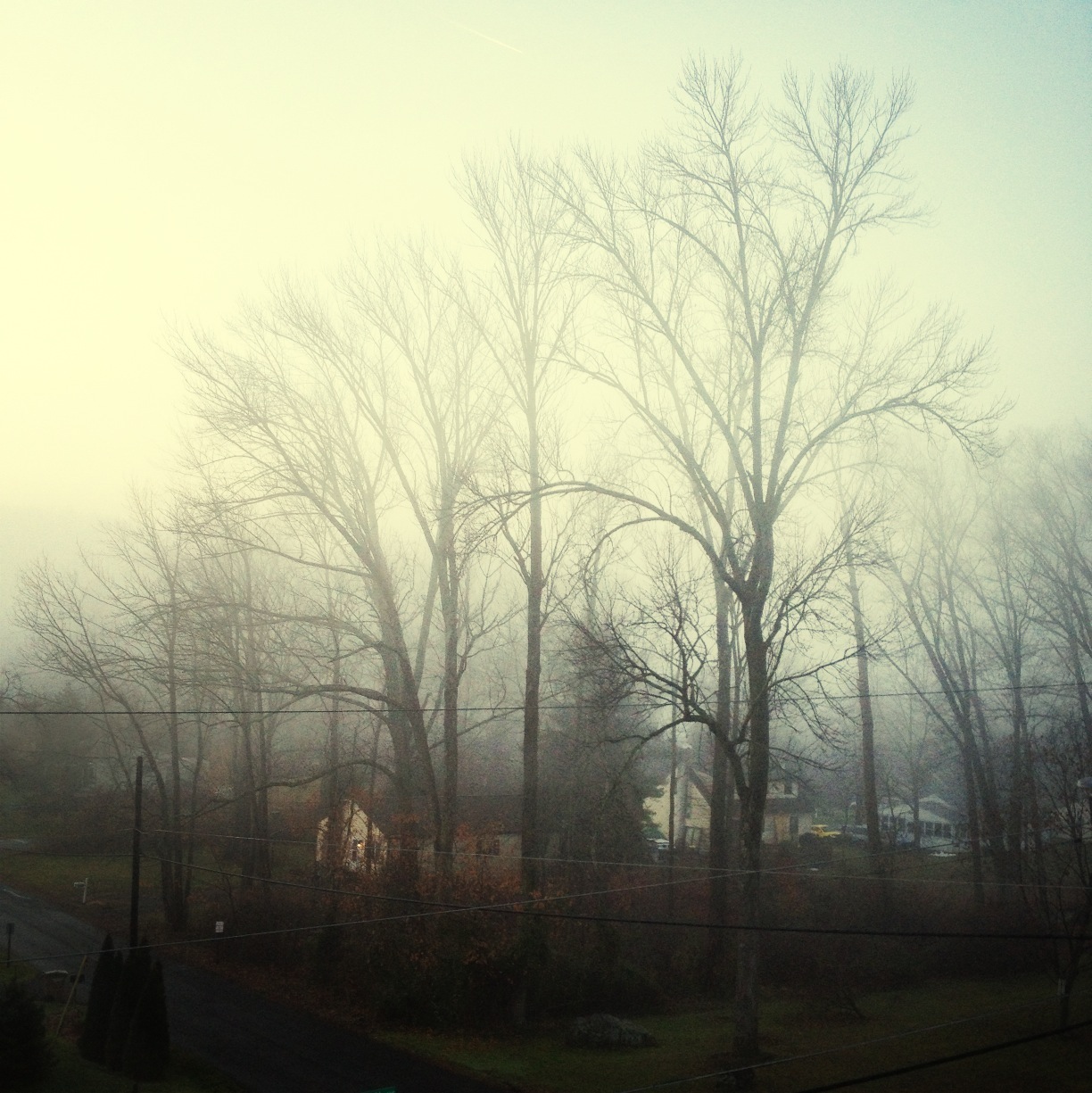
Foggy morning

Magnificent Sky
Topographic Map of Upper Salford Township, PA, USA
Find elevation by address:

Places in Upper Salford Township, PA, USA:
Places near Upper Salford Township, PA, USA:
1909 Quarry Rd
Schwenksville Rd, Schwenksville, PA, USA
990 Galen Ln
Salford
Old Sumneytown Pike, Harleysville, PA, USA
Spring Mount
132 Spring Mt Rd
41 Spring Mt Rd
68 Spring Mt Rd
1010 Gravel Pike
741 Ridge Rd
600 Camp Wawa Rd
592 Camp Wawa Rd
4 Meng Rd
500 Camp Wawa Rd
450 Camp Wawa Rd
550 Camp Wawa Rd
Schwenksville
555 Meetinghouse Rd
Harleysville, PA, USA
Recent Searches:
- Elevation of Corso Fratelli Cairoli, 35, Macerata MC, Italy
- Elevation of Tallevast Rd, Sarasota, FL, USA
- Elevation of 4th St E, Sonoma, CA, USA
- Elevation of Black Hollow Rd, Pennsdale, PA, USA
- Elevation of Oakland Ave, Williamsport, PA, USA
- Elevation of Pedrógão Grande, Portugal
- Elevation of Klee Dr, Martinsburg, WV, USA
- Elevation of Via Roma, Pieranica CR, Italy
- Elevation of Tavkvetili Mountain, Georgia
- Elevation of Hartfords Bluff Cir, Mt Pleasant, SC, USA