Elevation of Upper Fraser, BC V0J, Canada
Location: Canada > British Columbia >
Longitude: -121.93219
Latitude: 54.111782
Elevation: 632m / 2073feet
Barometric Pressure: 94KPa
Elevation Map:
Satellite Map:
Related Photos:
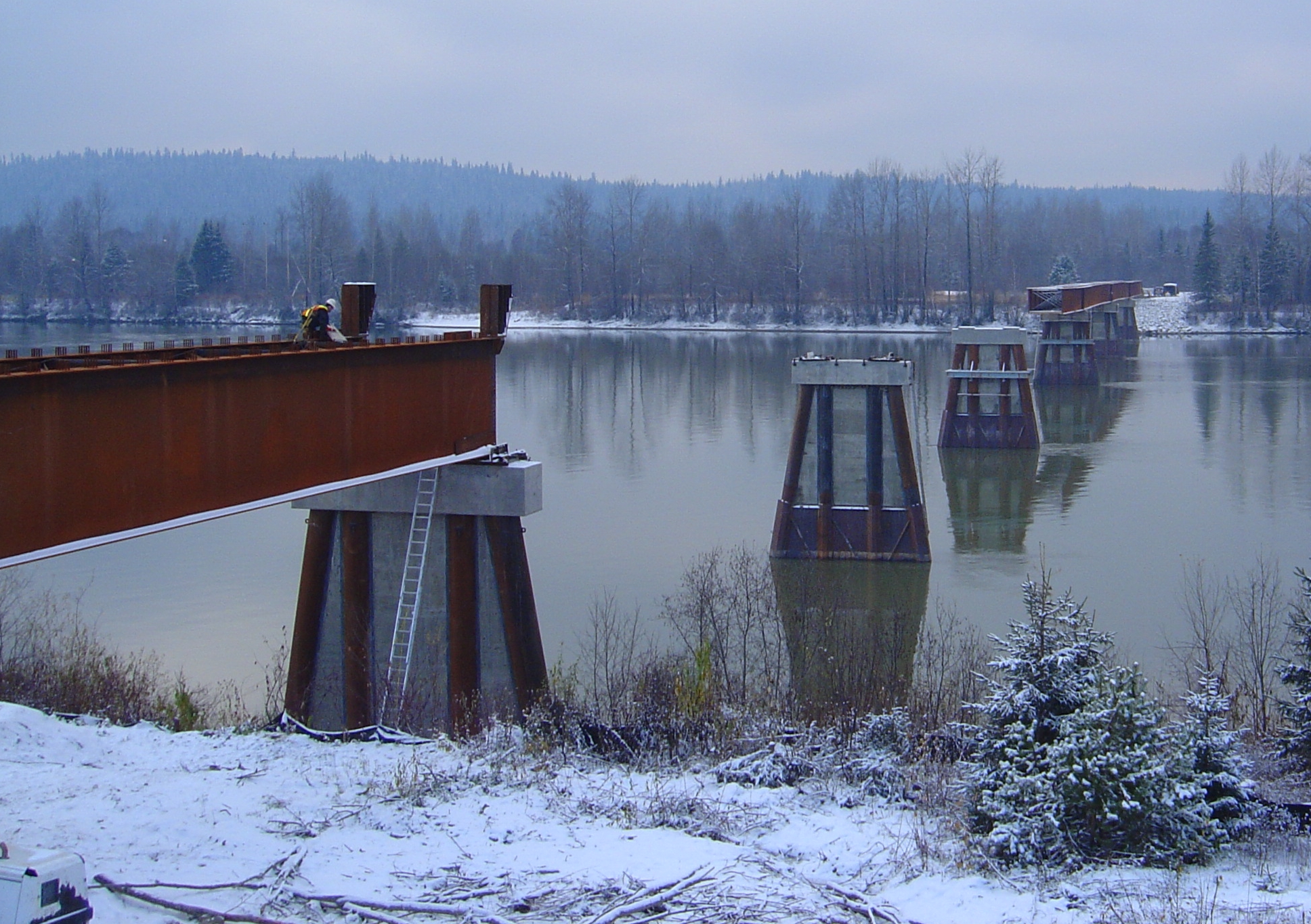
Hansard Bridge
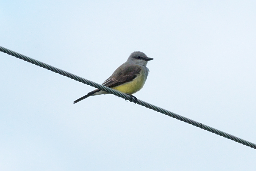
Western Kingbird - Tyrannus verticalis - adult
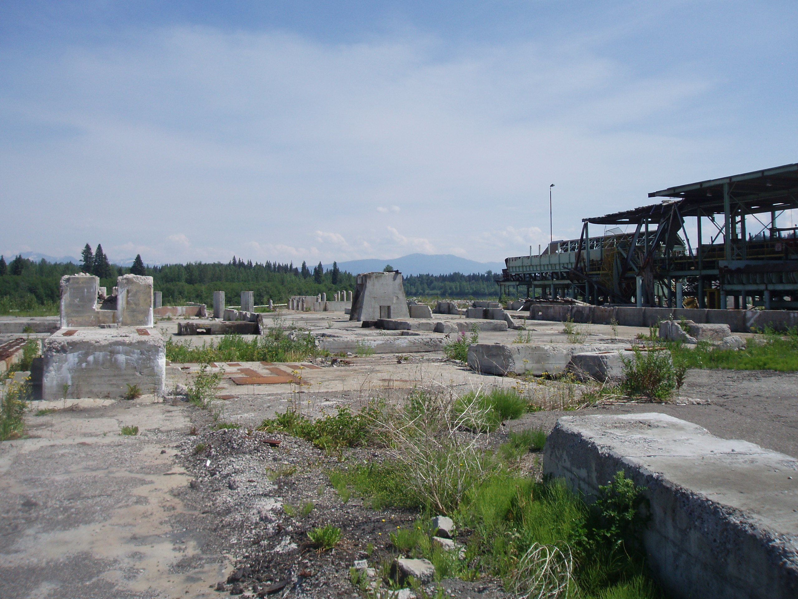
Mill foundations
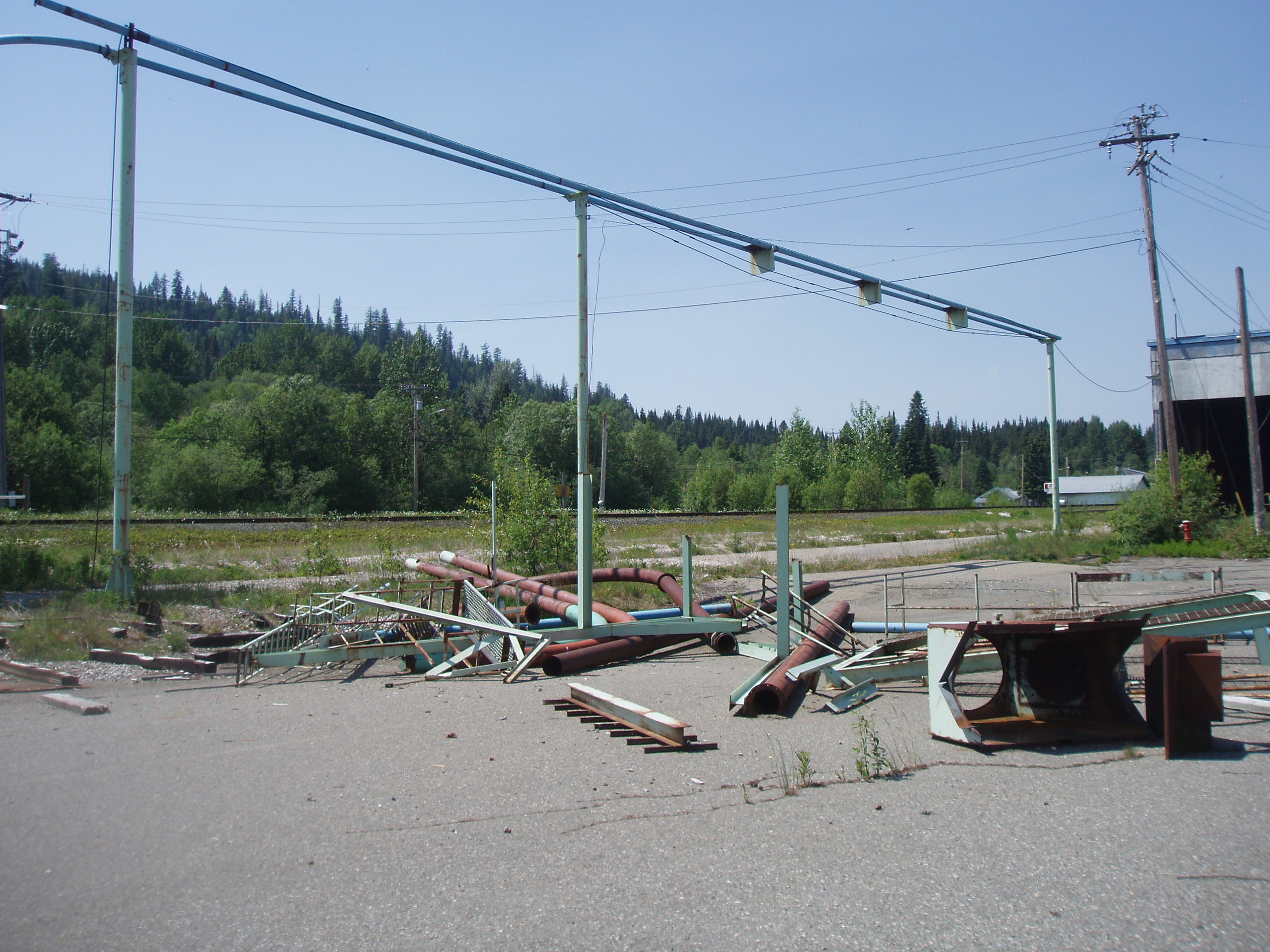
Abandoned machinery
Topographic Map of Upper Fraser, BC V0J, Canada
Find elevation by address:

Places in Upper Fraser, BC V0J, Canada:
Places near Upper Fraser, BC V0J, Canada:
35346 Upper Fraser Rd
Upper Fraser Rd, Sinclair Mills, BC V0J 3M0, Canada
Sinclair Mills
Fraser-fort George F
Fraser-fort George
Mount Kenchuse
Viking Peak
Mount Charles
Overland Peak
Longworth Peak
Fang Mountain
Mount Vreeland
Torpy Mountain
Ice Mountain
Dome Creek
Mount Watts
Dezaiko Peak
Dome Creek Rd, Dome Creek, BC V0J 1H0, Canada
Recent Searches:
- Elevation of Corso Fratelli Cairoli, 35, Macerata MC, Italy
- Elevation of Tallevast Rd, Sarasota, FL, USA
- Elevation of 4th St E, Sonoma, CA, USA
- Elevation of Black Hollow Rd, Pennsdale, PA, USA
- Elevation of Oakland Ave, Williamsport, PA, USA
- Elevation of Pedrógão Grande, Portugal
- Elevation of Klee Dr, Martinsburg, WV, USA
- Elevation of Via Roma, Pieranica CR, Italy
- Elevation of Tavkvetili Mountain, Georgia
- Elevation of Hartfords Bluff Cir, Mt Pleasant, SC, USA