Elevation of Upper Fish Creek Rd, Wheatland, WY, USA
Location: United States > Wyoming > Albany County >
Longitude: -105.30841
Latitude: 42.2495993
Elevation: 1830m / 6004feet
Barometric Pressure: 81KPa
Elevation Map:
Satellite Map:
Related Photos:
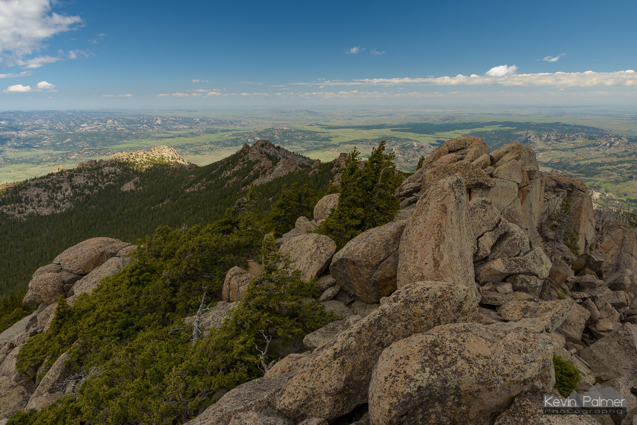
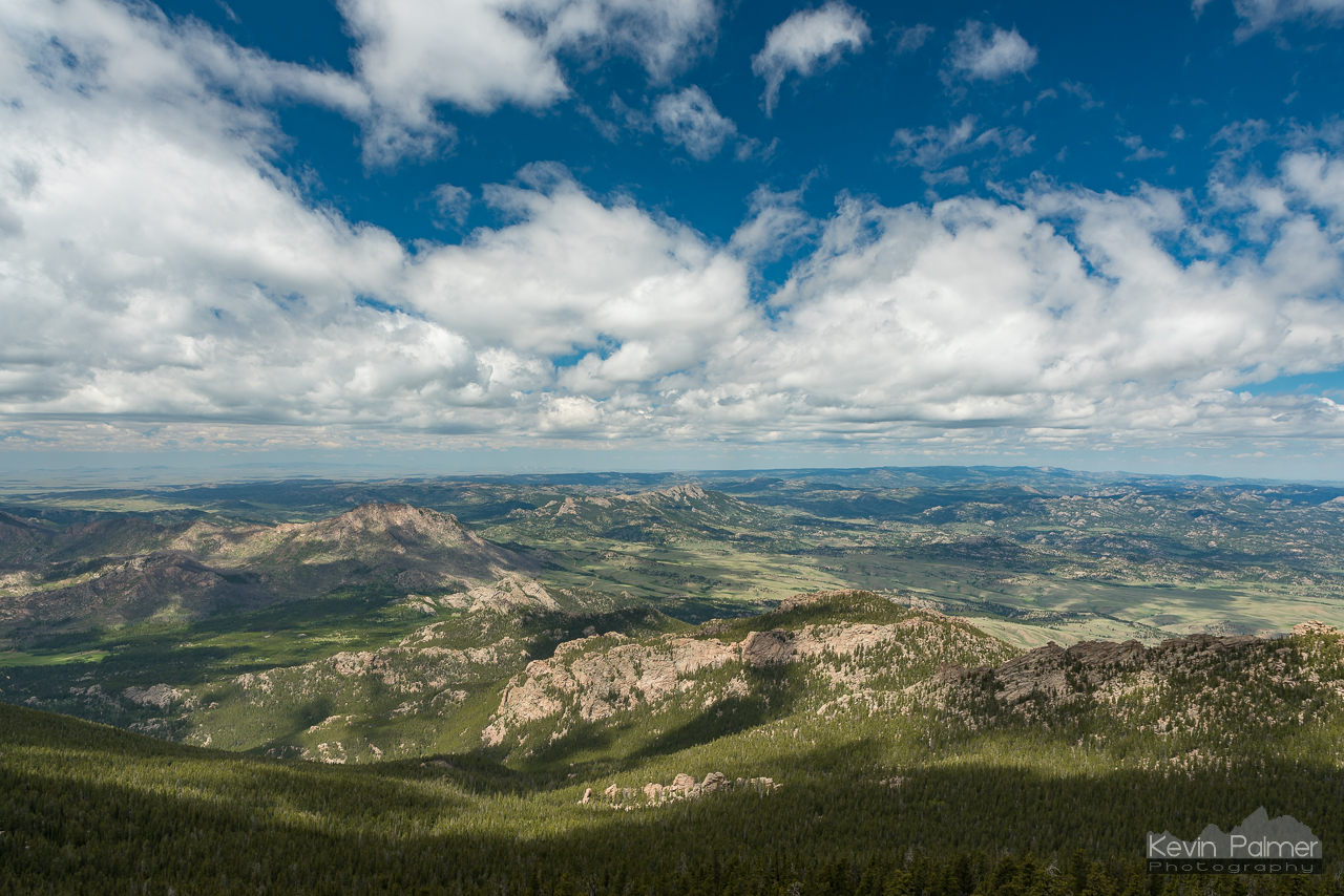
Summit Boulder Pile
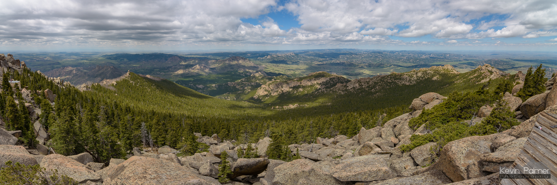
Laramie Peak Panorama
A Spot of Sunshine
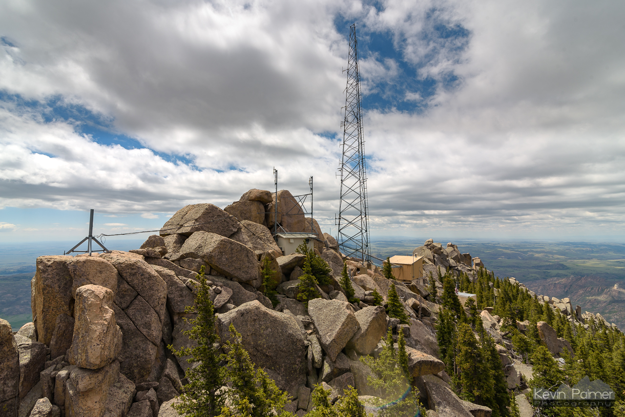
Radio Towers
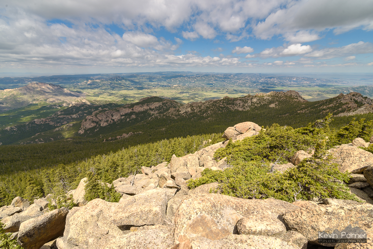
Laramie Peak West

A Look Across the Planet Earth

Glowing Laramie Mountains snowy sunset

Antelope herd & Laramie Peak
Topographic Map of Upper Fish Creek Rd, Wheatland, WY, USA
Find elevation by address:

Places near Upper Fish Creek Rd, Wheatland, WY, USA:
Harris Park Road
65 Us Frst Service Rd 633
Esterbrook
2951 Esterbrook Rd
Anvil Peak
Esterbrook Rd, Douglas, WY, USA
Glendo
Cassa Rd, Glendo, WY, USA
Irvine Rd, Douglas, WY, USA
Orin
26 Sierra
910 Washington St
17 Mountainview Rd
Douglas
332 N 4th St
Guernsey State Park
Guernsey
18 S Wyoming Ave, Guernsey, WY, USA
Hartville
50 Osprey Ln
Recent Searches:
- Elevation of Corso Fratelli Cairoli, 35, Macerata MC, Italy
- Elevation of Tallevast Rd, Sarasota, FL, USA
- Elevation of 4th St E, Sonoma, CA, USA
- Elevation of Black Hollow Rd, Pennsdale, PA, USA
- Elevation of Oakland Ave, Williamsport, PA, USA
- Elevation of Pedrógão Grande, Portugal
- Elevation of Klee Dr, Martinsburg, WV, USA
- Elevation of Via Roma, Pieranica CR, Italy
- Elevation of Tavkvetili Mountain, Georgia
- Elevation of Hartfords Bluff Cir, Mt Pleasant, SC, USA