Elevation of Upper Dalton Creek Road, Upper Dalton Creek Rd, Franklin, NC, USA
Location: United States > North Carolina > Macon County > Franklin > Franklin >
Longitude: -83.333302
Latitude: 35.2564738
Elevation: 1005m / 3297feet
Barometric Pressure: 90KPa
Elevation Map:
Satellite Map:
Related Photos:

Me & My Photograph
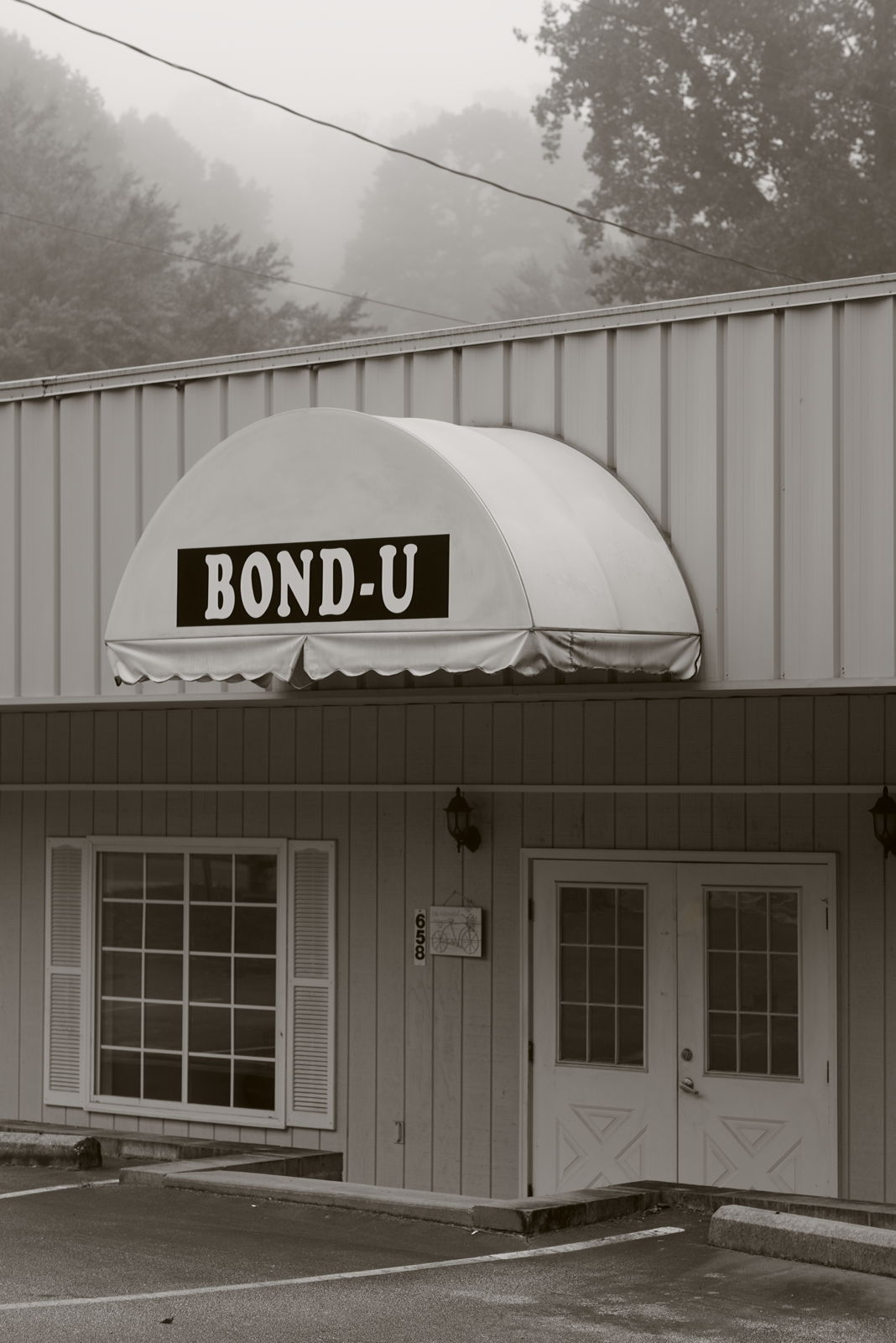
For when U need it

Peaceful View

Eclipse - Cullowhee North Carolina

Cullasaja Falls - Highlands, North Carolina.

Fringed Phacelia

Cowee Bald Fire Tower - North Carolina

Mountain View, Speedwell, NC

Mountain Sun
Mountain Waters Scenic Byway, Between Franklin and Highlands, North Carolina

Mountain Waters Scenic Byway, Between Franklin and Highlands, North Carolina
Mountain Waters Scenic Byway, Between Franklin and Highlands, North Carolina

Webster Baptist Church, Webster, NC

The Cowee Mountains.

Webster Baptist Church, Webster, NC

Mountain View, Speedwell, NC

Mountain Hiking

Webster Baptist Church, Webster, NC

Webster Baptist Church, Webster, NC

Webster Baptist Church, Webster, NC

Fire Pink

Town and country

Between the river and the fog

Morning on Main Street

Smoky Mountains

PrrysWtrGrdn_0817_edit.jpg

Ruby City

Fields of Gold | Franklin, NC
The road at the end of the falls

GSMR GP9 1755 at Dillsboro

Jackson County Airport 24A in Cullowhee, NC
Western Carolina University Campus
Franklin, North Carolina

Alarka Falls

Jackson County Airport 24A in Cullowhee, NC

Dry Falls
Mountain Roads

Marshy area in Franklin NC

Alarka Falls

Mossy Bank, Cowee, NC
Topographic Map of Upper Dalton Creek Road, Upper Dalton Creek Rd, Franklin, NC, USA
Find elevation by address:

Places near Upper Dalton Creek Road, Upper Dalton Creek Rd, Franklin, NC, USA:
1389 Flowers Gap Rd
1209 Chinquapin Mountain Rd
1442 Coon Creek Rd
Coon Creek Road
1605 Coon Creek Rd
481 Coon Creek Rd
678 Coon Creek Rd
678 Coon Creek Rd
678 Coon Creek Rd
678 Coon Creek Rd
678 Coon Creek Rd
678 Coon Creek Rd
678 Coon Creek Rd
682 Coon Creek Rd
28 Coon Creek Rd
1892 Coon Creek Rd
606 Orenda Dr
Orenda Drive
1093 Gold City Ln
636 Big Ridge Rd
Recent Searches:
- Elevation of Corso Fratelli Cairoli, 35, Macerata MC, Italy
- Elevation of Tallevast Rd, Sarasota, FL, USA
- Elevation of 4th St E, Sonoma, CA, USA
- Elevation of Black Hollow Rd, Pennsdale, PA, USA
- Elevation of Oakland Ave, Williamsport, PA, USA
- Elevation of Pedrógão Grande, Portugal
- Elevation of Klee Dr, Martinsburg, WV, USA
- Elevation of Via Roma, Pieranica CR, Italy
- Elevation of Tavkvetili Mountain, Georgia
- Elevation of Hartfords Bluff Cir, Mt Pleasant, SC, USA