Elevation of Upland Trail, Cleveland, NC, USA
Location: United States > North Carolina > Rowan County > Scotch Irish > Cleveland >
Longitude: -80.716666
Latitude: 35.8055836
Elevation: 256m / 840feet
Barometric Pressure: 98KPa
Elevation Map:
Satellite Map:
Related Photos:
Northward View Of Downtown Statesville NC
Southward View Of Downtown Statesville NC
Front View,Old Iredell County Jail

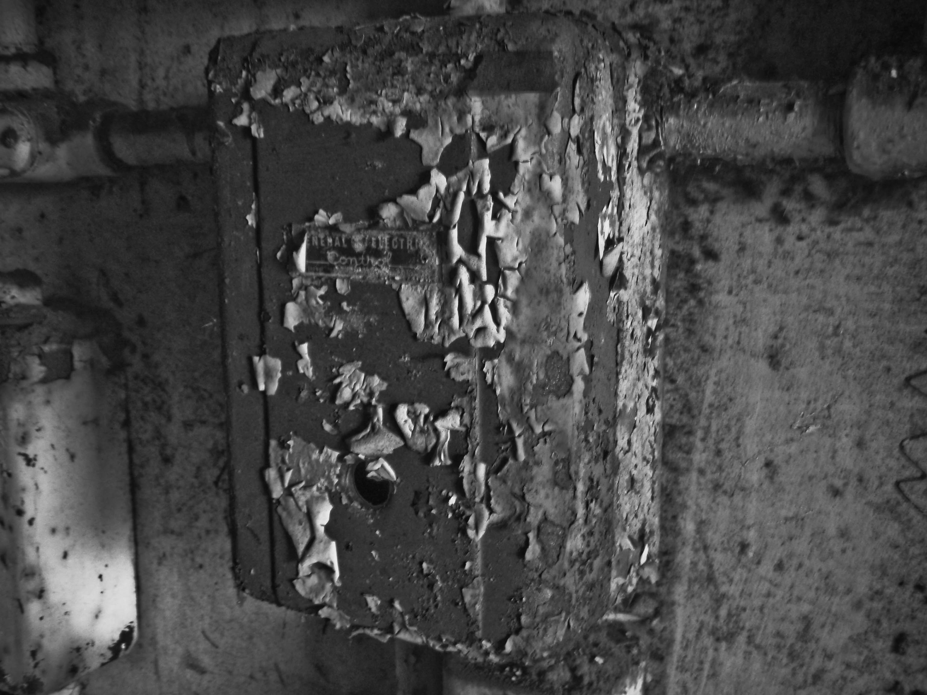
Power On Display
20091126-PB260058
Power of Crust
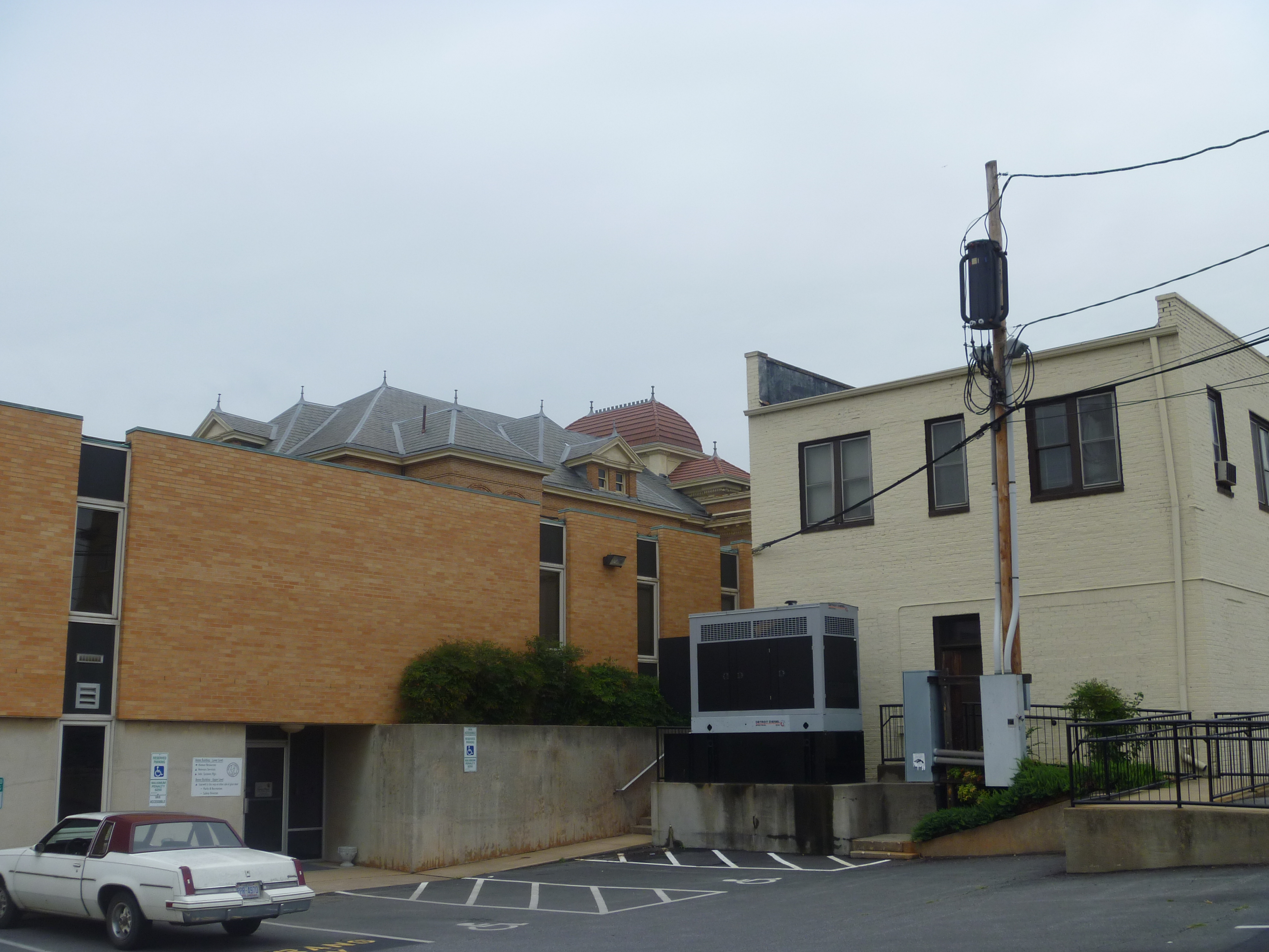
Backside View, Old Iredell County Courthouse

Cemetery View from Walkway
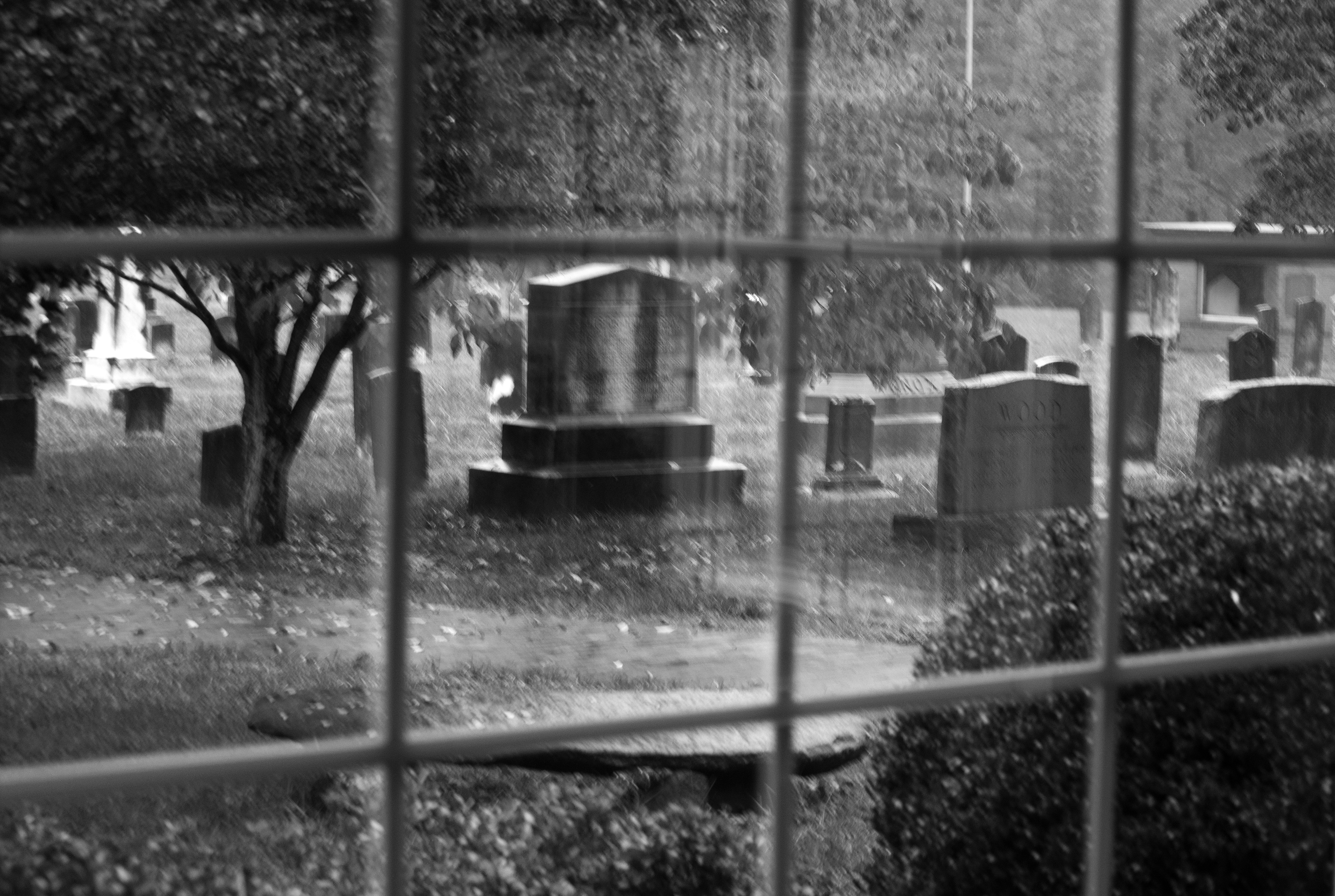
Cemetery View from Walkway
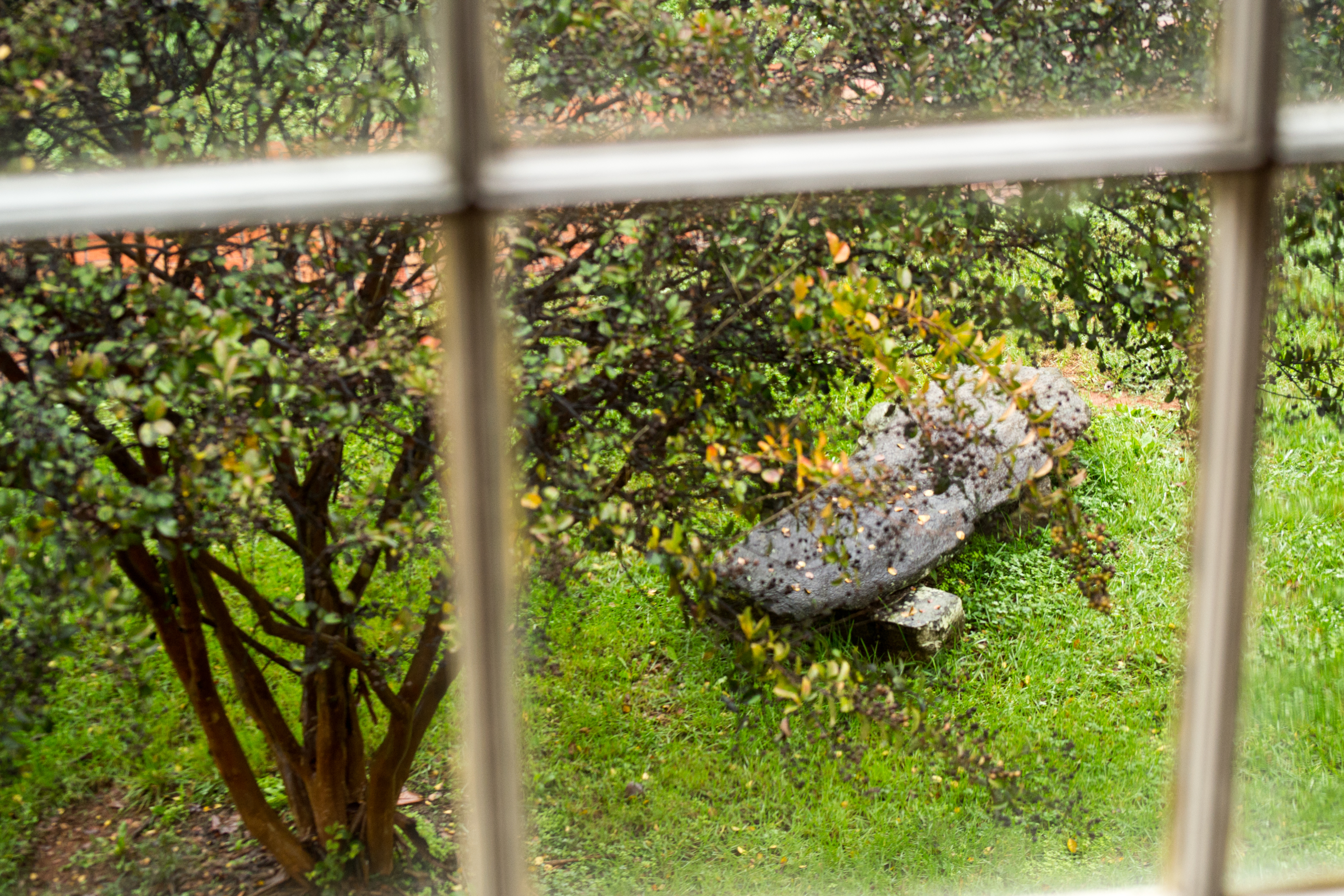
Stone Bench view from Slave Gallery
Textiles enter a new century-260067
20091126-PB260051

Cows in the buttercups in the fog of morning (HDR)
Late evening light (HDR)
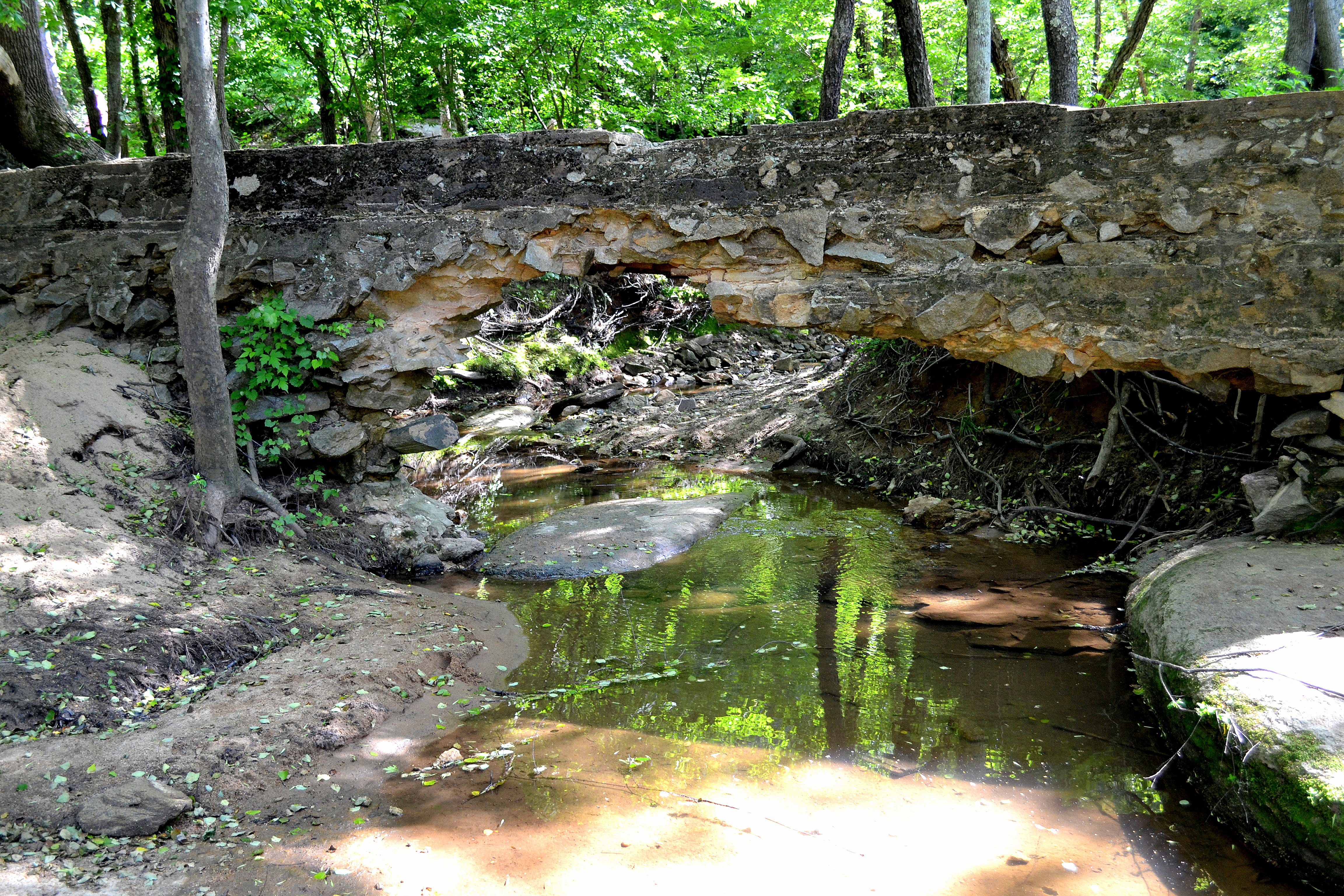
Bull Hole, River Park, Cooleemee NC, Davie County

#chasingsunsets

Lakewood Park
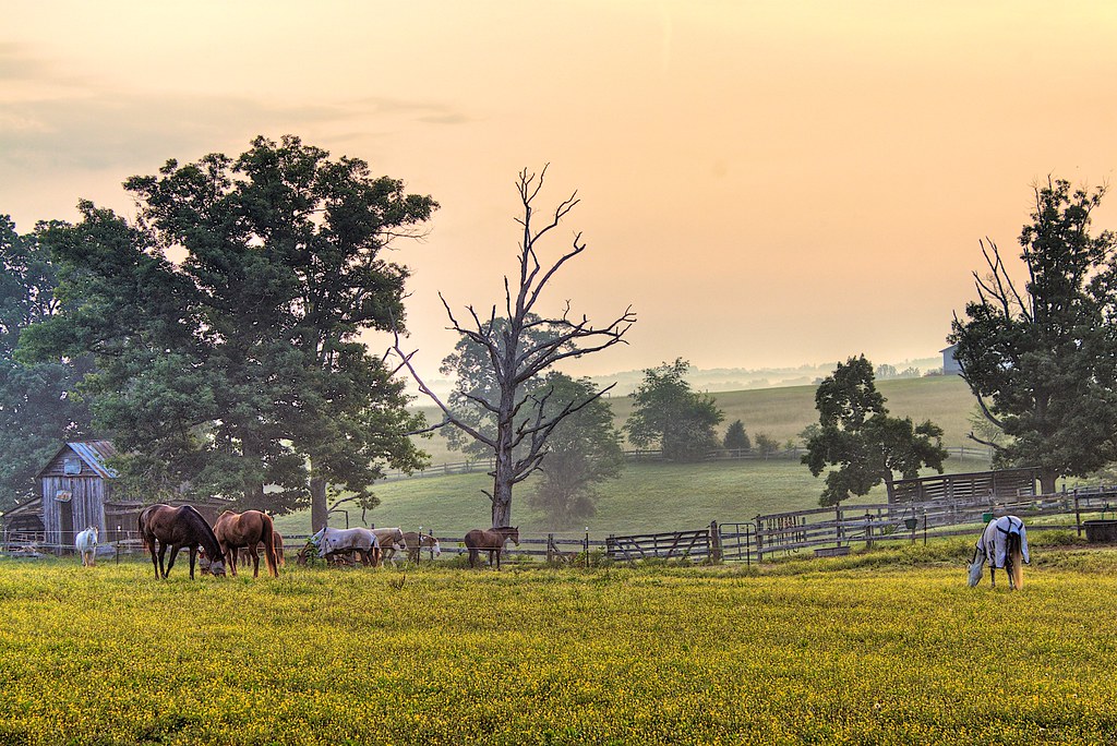
Sunrising over the fog at Dixieland Farm (HDR)
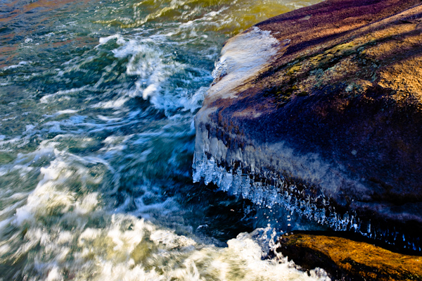
Icy River Rocks
Fort Dobbs, North Carolina, USA

Sun setting behind an old abandon silo (HDR)
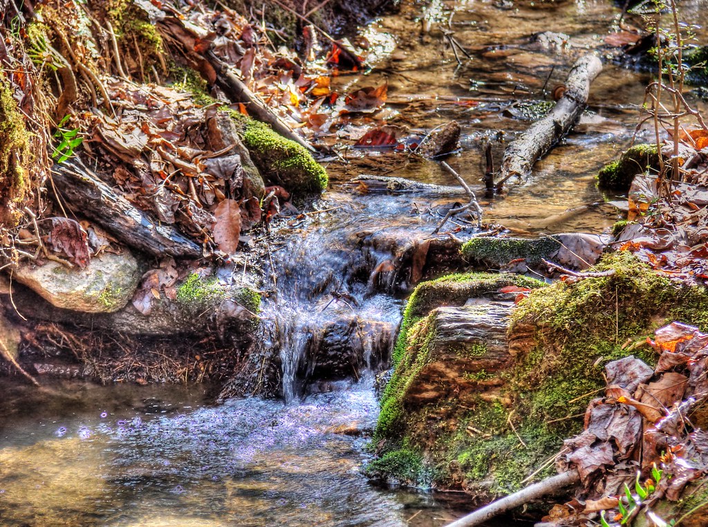
Cool Spring (HDR)
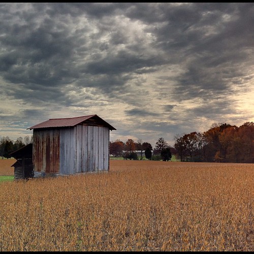
Tobacco barn in the soybean field (iPhone) (True HDR)
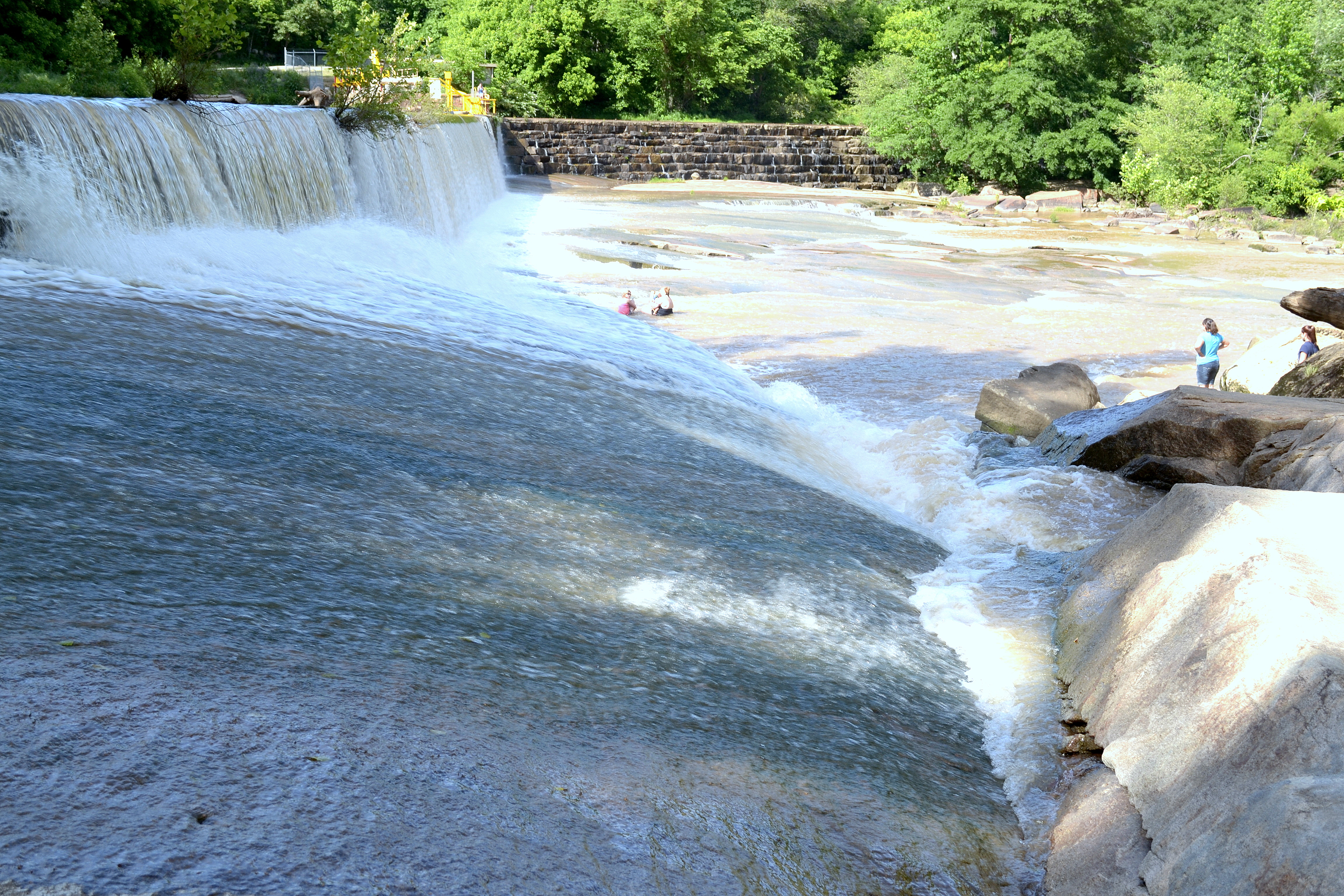
Bull Hole, River Park, Cooleemee NC, Davie County
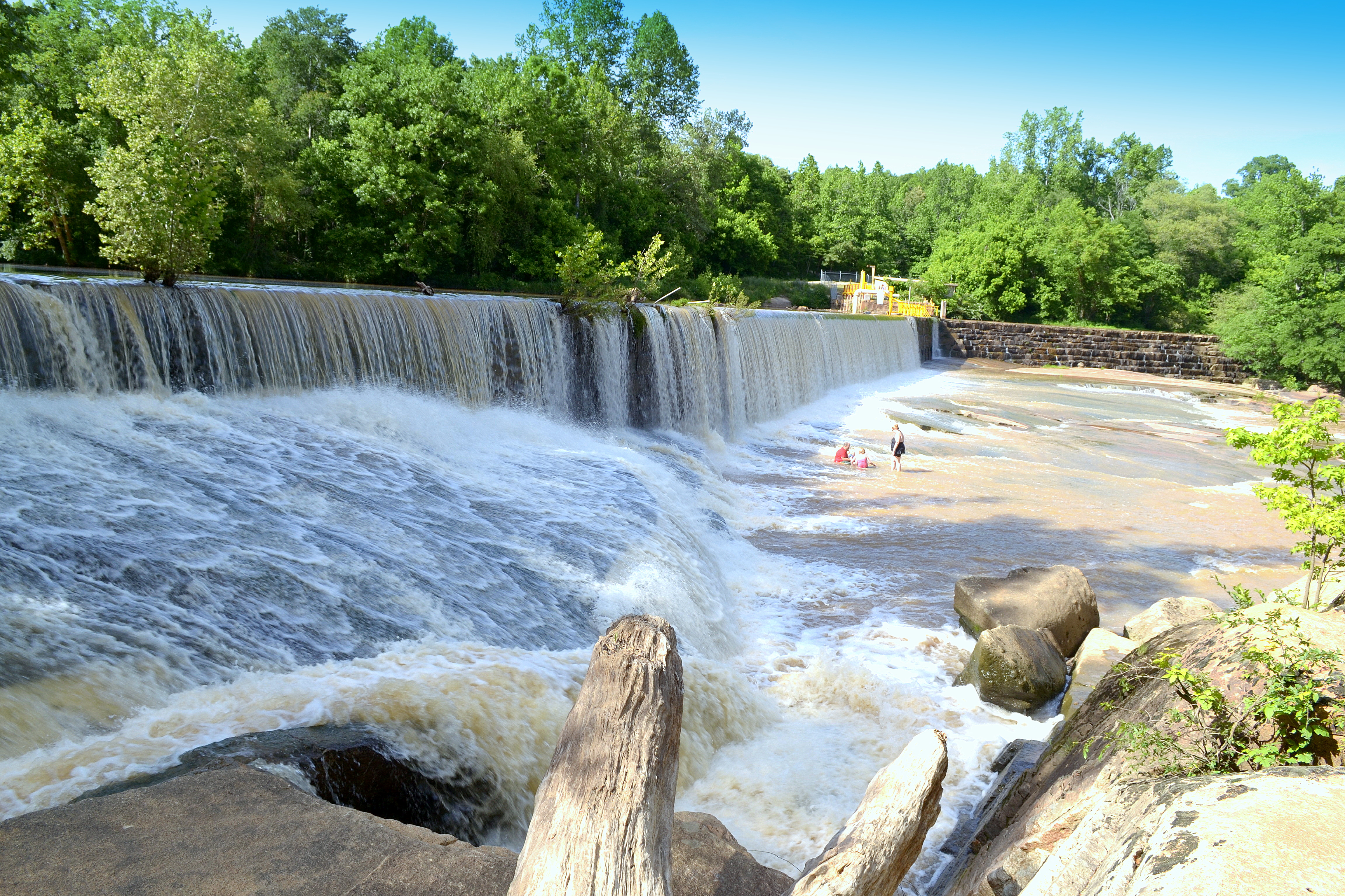
Bull Hole, River Park, Cooleemee NC, Davie County

Bull Hole, River Park, Cooleemee NC, Davie County
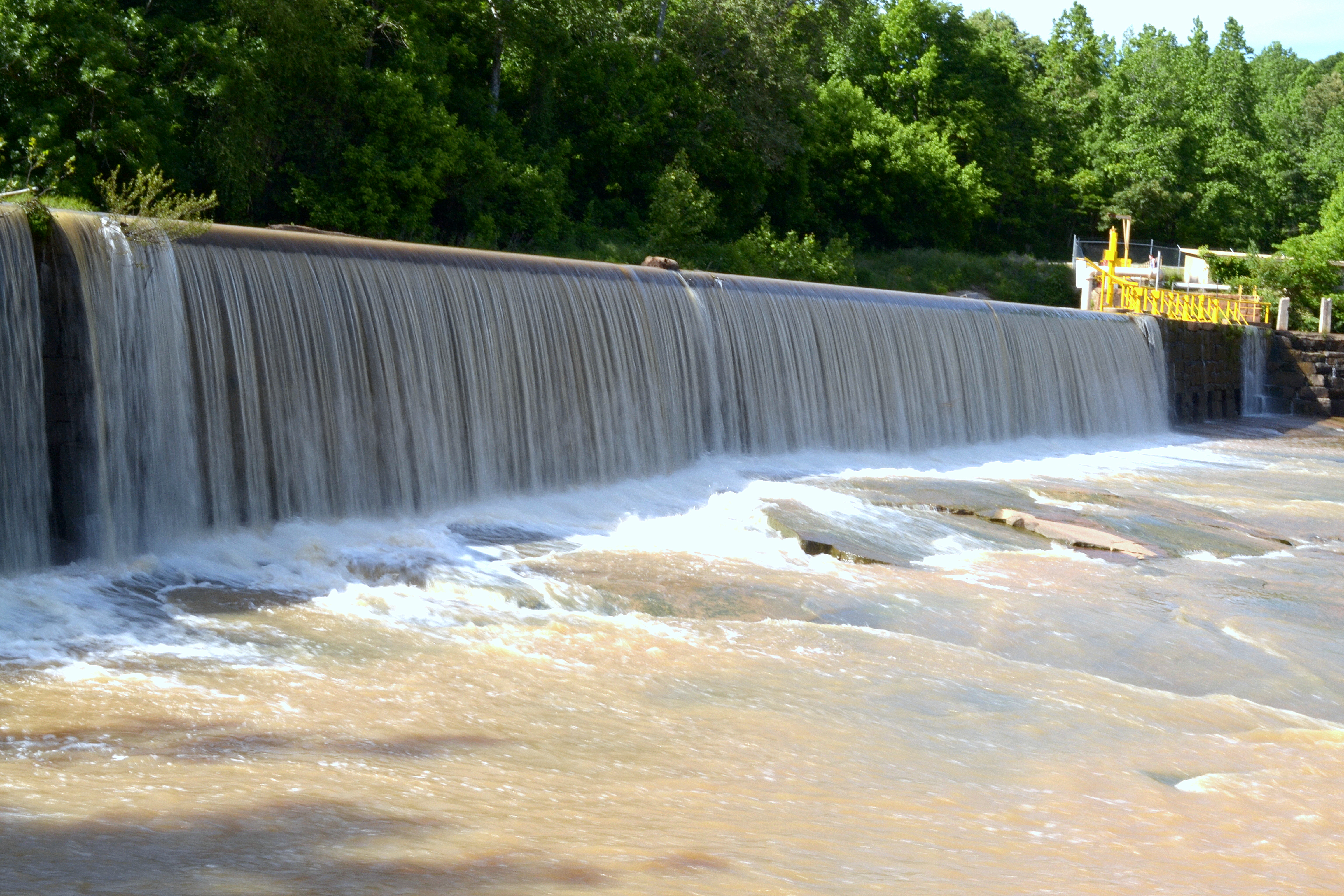
Bull Hole, River Park, Cooleemee NC, Davie County
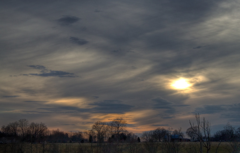
Dark & Windy Sunset (HDR)

Bird on a Wire 2 (HDR)
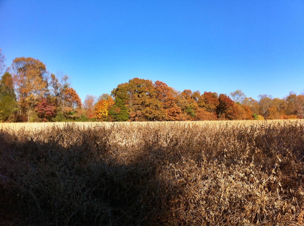
Soybean field
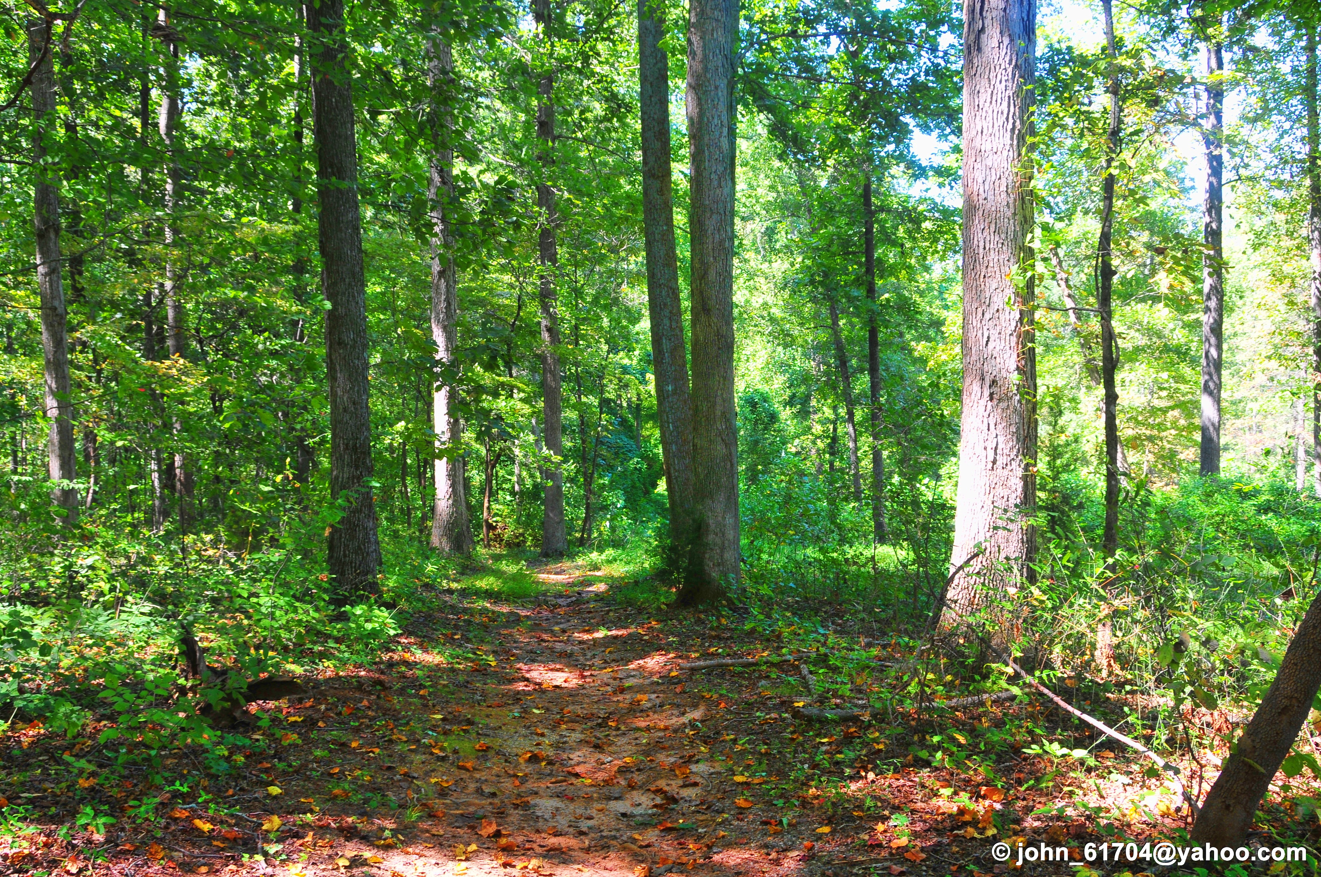
NC IV
Bull Hole, River Park, Cooleemee NC, Davie County
One last look at my folks house before moving
Topographic Map of Upland Trail, Cleveland, NC, USA
Find elevation by address:

Places near Upland Trail, Cleveland, NC, USA:
107 Upland Trail
107 Upland Trail
107 Upland Trail
107 Upland Trail
107 Upland Trail
Mocksville Hwy, Cleveland, NC, USA
Scotch Irish
362 Knox Farm Rd
203 W Main St #2
Cleveland
S Depot St, Salisbury, NC, USA
Chambersburg
Mapleleaf Rd, Statesville, NC, USA
Bell Farm Rd, Statesville, NC, USA
Camelot Dr, Statesville, NC, USA
3109 Oakmont Rd
Barber Jct Rd, Cleveland, NC, USA
Wilworth Ln, Statesville, NC, USA
Ostwalt Amity Rd, Cleveland, NC, USA
Stonehouse Dr, Statesville, NC, USA
Recent Searches:
- Elevation of Corso Fratelli Cairoli, 35, Macerata MC, Italy
- Elevation of Tallevast Rd, Sarasota, FL, USA
- Elevation of 4th St E, Sonoma, CA, USA
- Elevation of Black Hollow Rd, Pennsdale, PA, USA
- Elevation of Oakland Ave, Williamsport, PA, USA
- Elevation of Pedrógão Grande, Portugal
- Elevation of Klee Dr, Martinsburg, WV, USA
- Elevation of Via Roma, Pieranica CR, Italy
- Elevation of Tavkvetili Mountain, Georgia
- Elevation of Hartfords Bluff Cir, Mt Pleasant, SC, USA