Elevation of Unterstadl 1, Johanniskirchen, Germany
Location: Austria > Bavaria > Lower Bavaria > Rottal-inn > Johanniskirchen >
Longitude: 12.90474
Latitude: 48.53121
Elevation: 437m / 1434feet
Barometric Pressure: 96KPa
Elevation Map:
Satellite Map:
Related Photos:
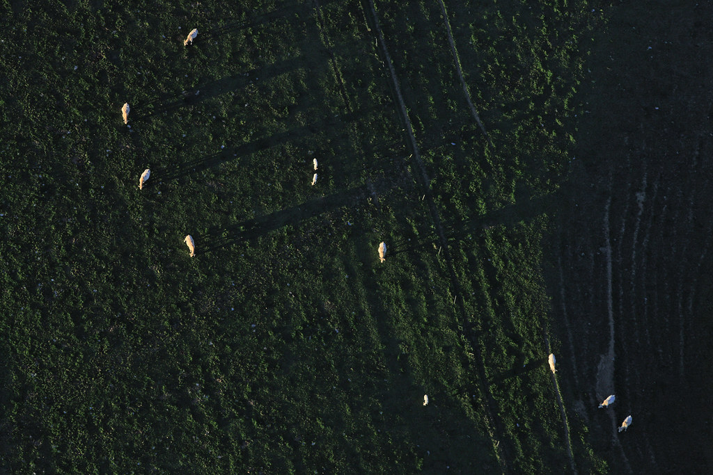
Cattle In The Evening Light
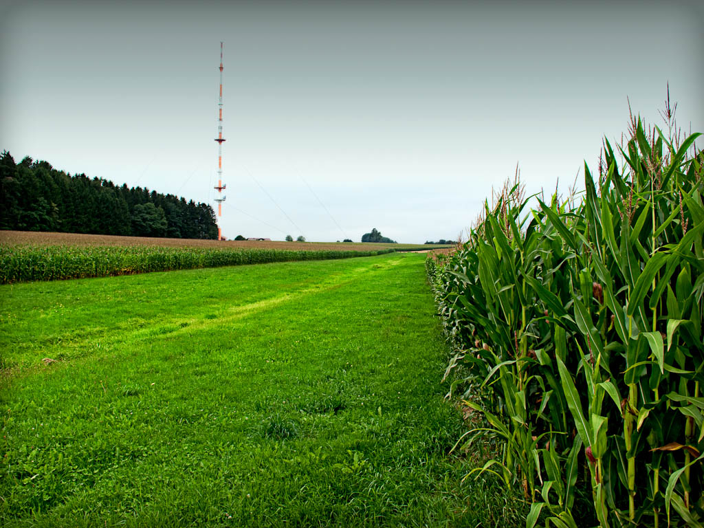
Rural Highway

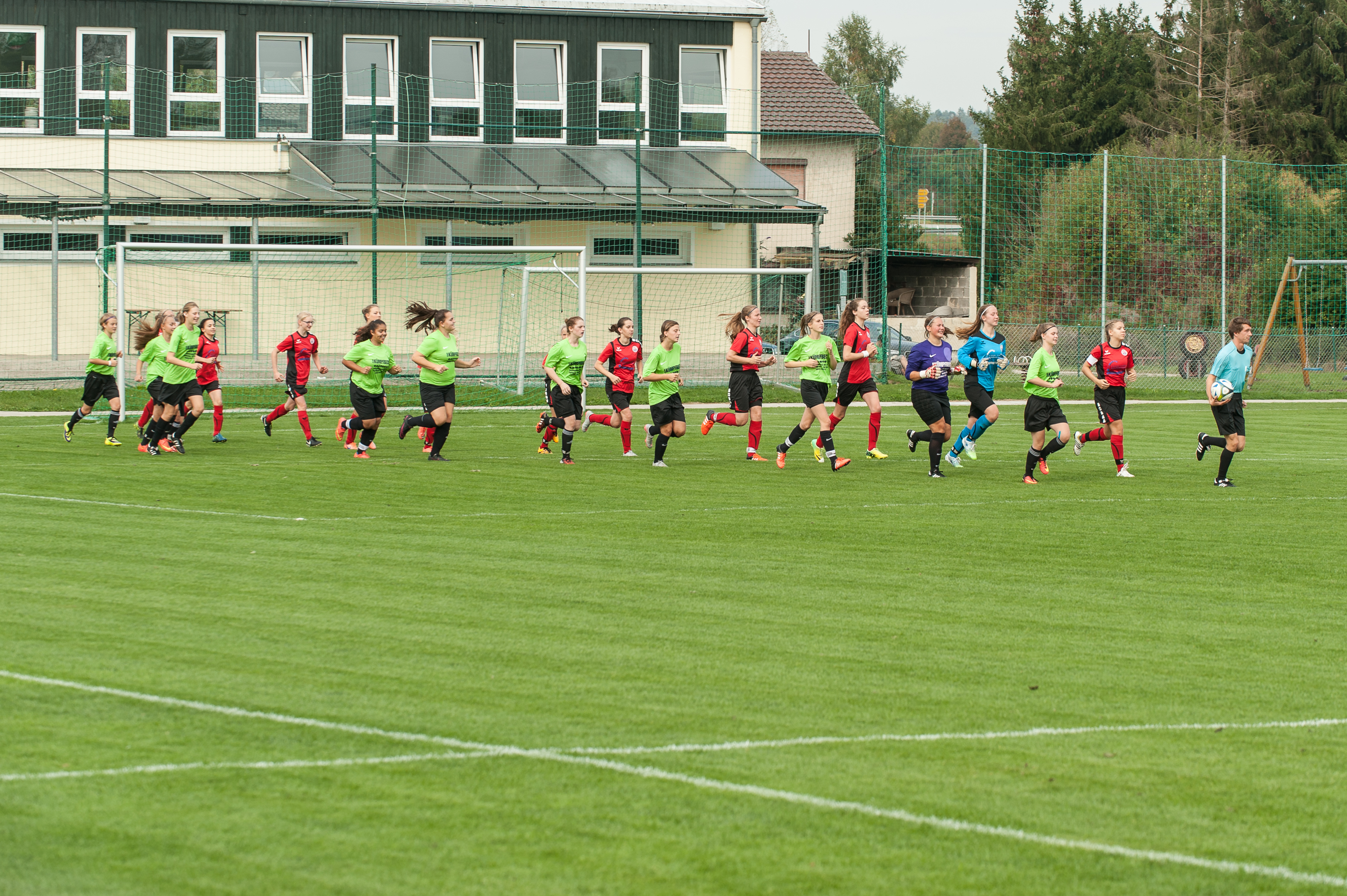
Mother&son

Quiet place

2016-10-01-14-02-03
2016-10-01-14-02-07

2016-10-01-14-02-30

2016-10-01-14-02-44

2016-10-01-14-03-28

2016-10-01-14-04-11

2016-10-01-14-04-18

2016-10-01-14-04-21

2016-10-01-14-04-21-2

2016-10-01-14-04-24

2016-10-01-14-04-36

2016-10-01-14-04-38

2016-10-01-14-04-47

2016-10-01-14-04-59

2016-10-01-14-06-20

2016-10-01-14-08-06

2016-10-01-14-08-33

2016-10-01-14-08-35

2016-10-01-14-08-36

2016-10-01-14-09-43

2016-10-01-14-09-45
Topographic Map of Unterstadl 1, Johanniskirchen, Germany
Find elevation by address:

Places near Unterstadl 1, Johanniskirchen, Germany:
Minihof
Minihof 3, Roßbach, Germany
Birchen 4, Arnstorf, Germany
Johanniskirchen
Schimpfhausen 4, Arnstorf, Germany
Padersberg 6, Arnstorf, Germany
Fabach 13, Johanniskirchen, Germany
Padersberg
Kühbach 4, Arnstorf, Germany
Kühbach
Roßbach
Esterndorf 22, Roßbach, Germany
12a
Arnstorf
Gartenweg 9
Badersdorf
Badersdorf 8, Eichendorf, Germany
Eichendorf
Pörndorf
Pfarrgasse 5, Osterhofen, Germany
Recent Searches:
- Elevation of Corso Fratelli Cairoli, 35, Macerata MC, Italy
- Elevation of Tallevast Rd, Sarasota, FL, USA
- Elevation of 4th St E, Sonoma, CA, USA
- Elevation of Black Hollow Rd, Pennsdale, PA, USA
- Elevation of Oakland Ave, Williamsport, PA, USA
- Elevation of Pedrógão Grande, Portugal
- Elevation of Klee Dr, Martinsburg, WV, USA
- Elevation of Via Roma, Pieranica CR, Italy
- Elevation of Tavkvetili Mountain, Georgia
- Elevation of Hartfords Bluff Cir, Mt Pleasant, SC, USA