Elevation of Unnamed Road, San Pedro de Atacama, Región de Antofagasta, Chile
Location: Chile > Antofagasta Region > El Loa > San Pedro De Atacama >
Longitude: -67.754823
Latitude: -23.026719
Elevation: 5035m / 16519feet
Barometric Pressure: 54KPa
Elevation Map:
Satellite Map:
Related Photos:
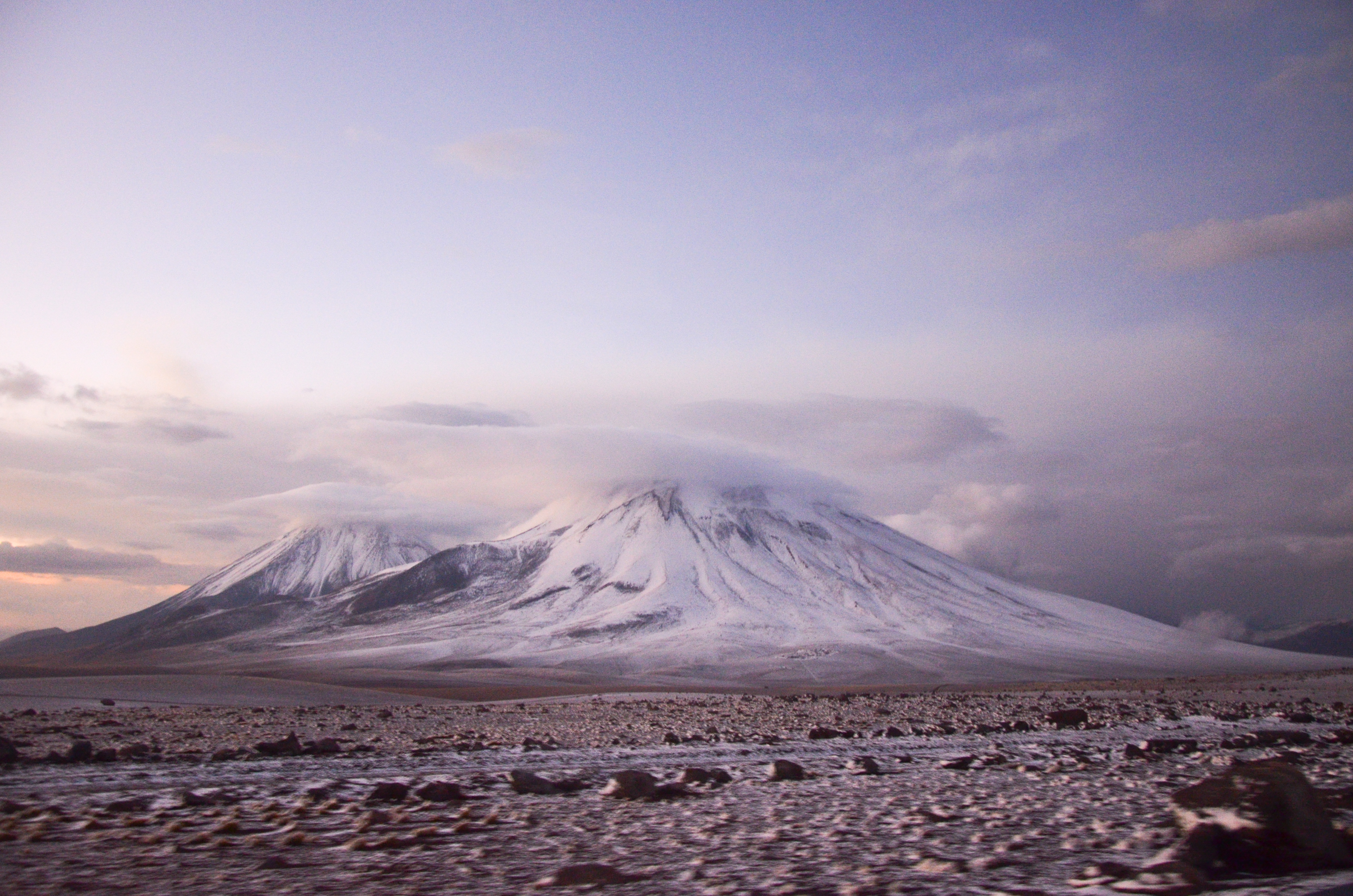
atacama_2015-11-08_18_098
View towards ALMA
Acceso Bolivia
ALMA panorama I

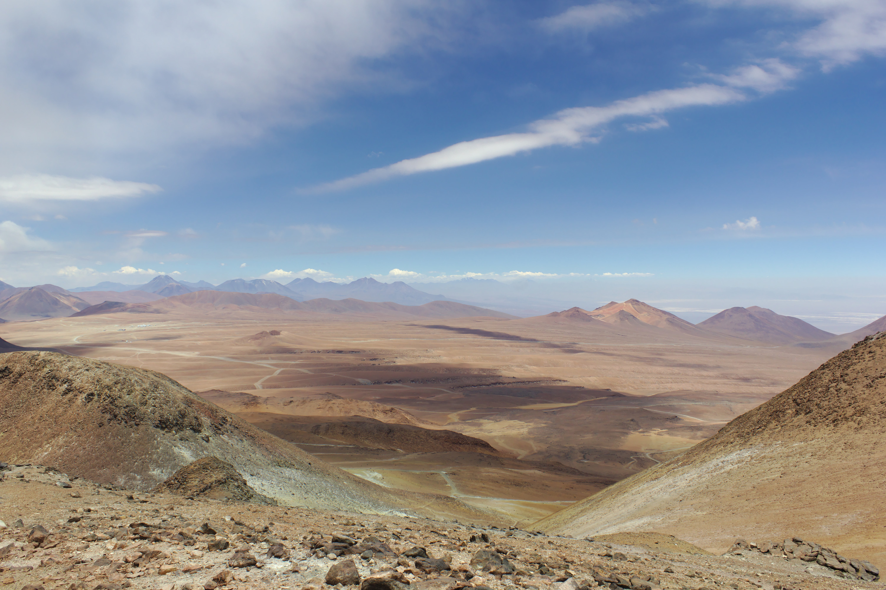
View Driving Down Cerro Toco

View from Old Cerro Toco Sulfur Mine
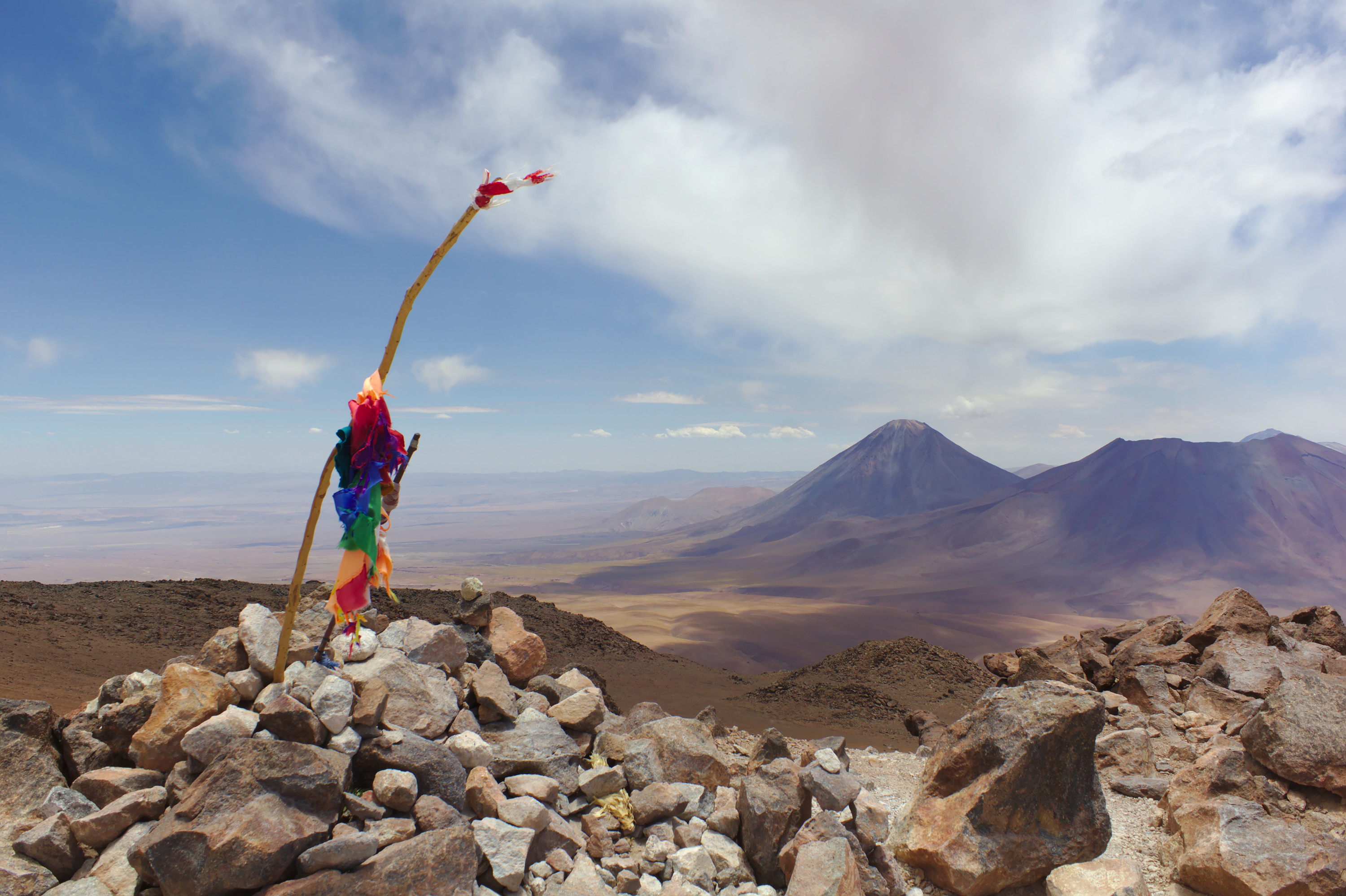
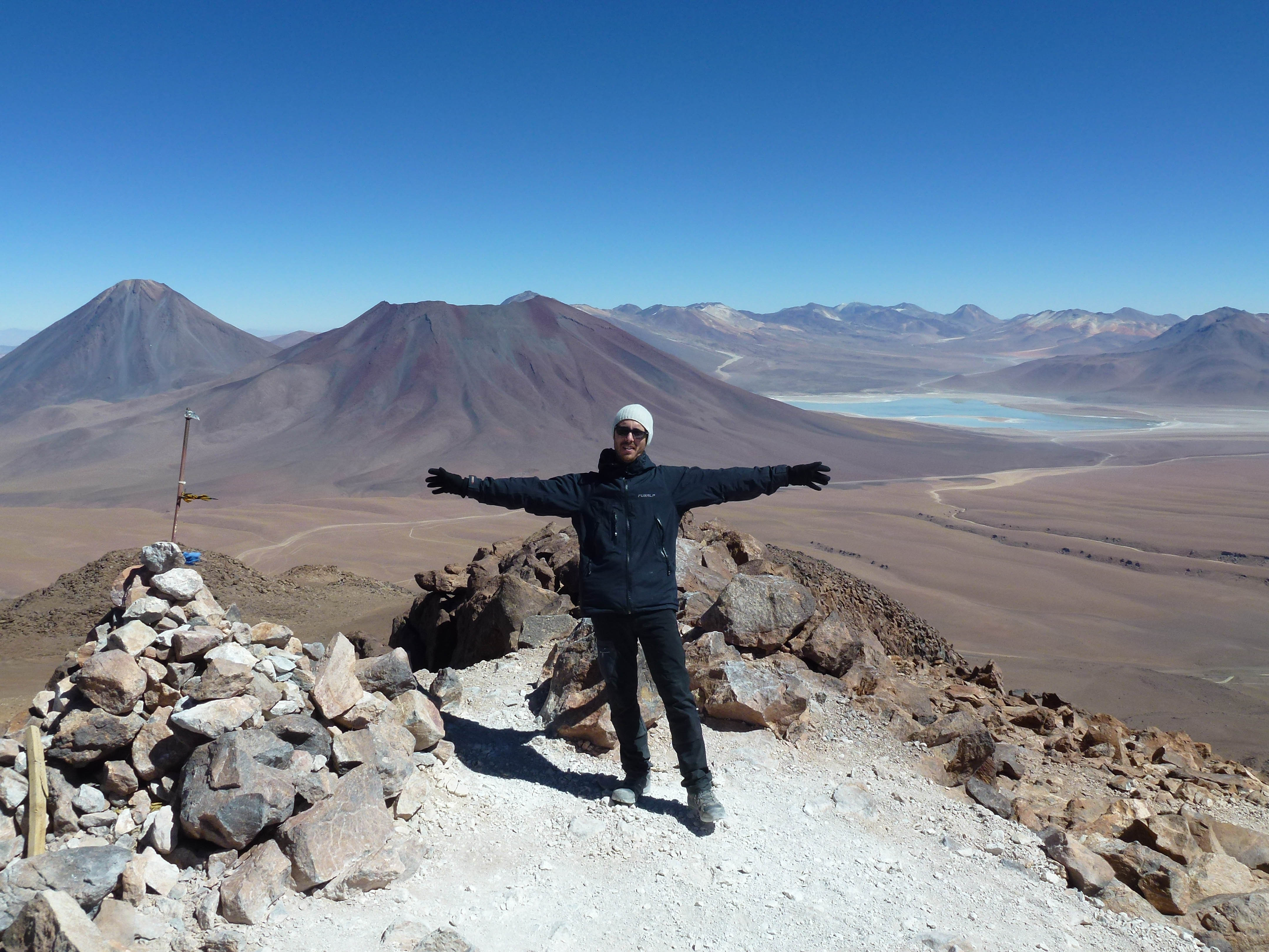
View from Cerro Toco Summit
View from Cerro Toco Summit
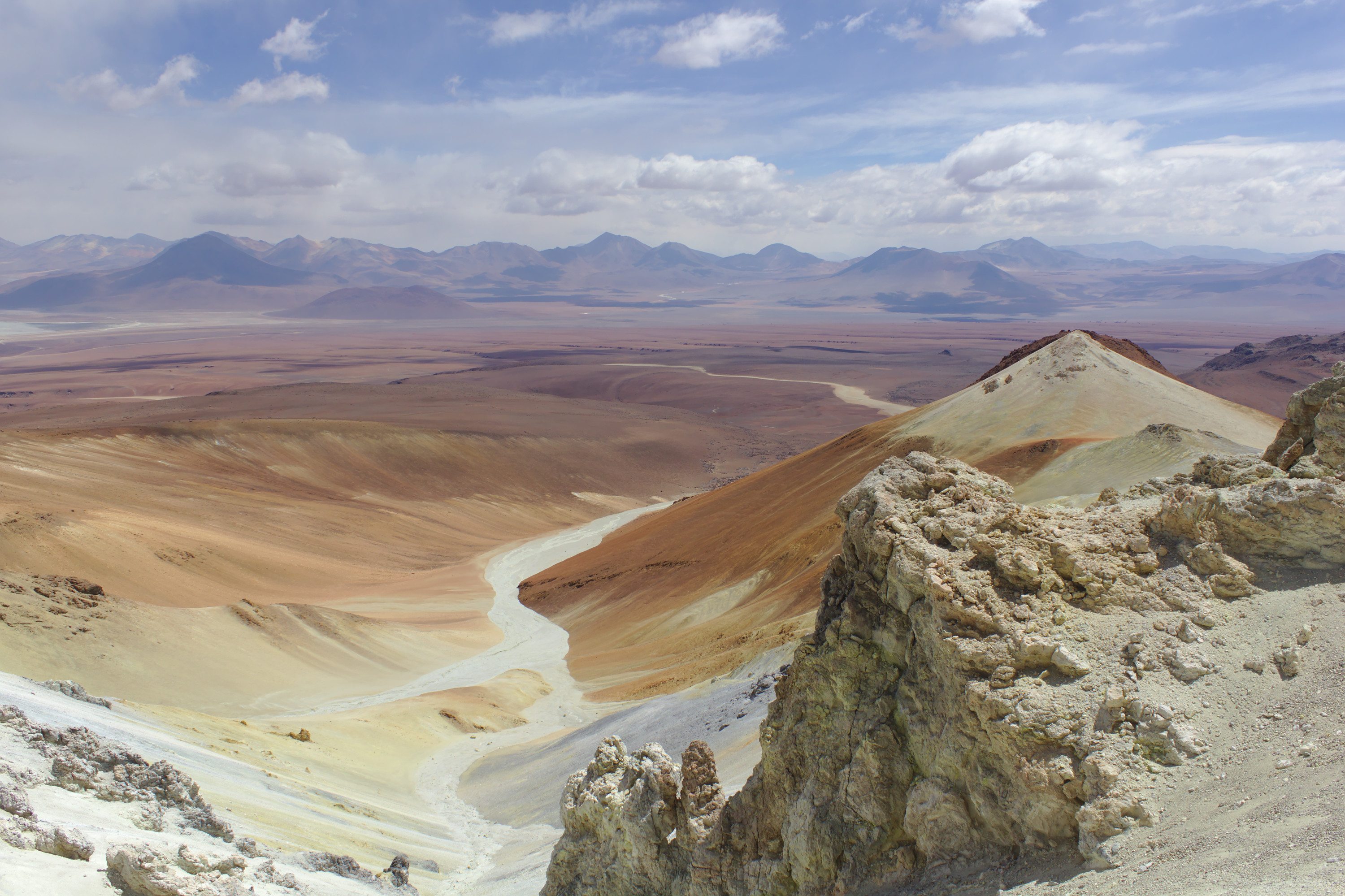
View from Old Cerro Toco Sulfur Mine

View from Old Cerro Toco Sulfur Mine

IMG_0852a-1
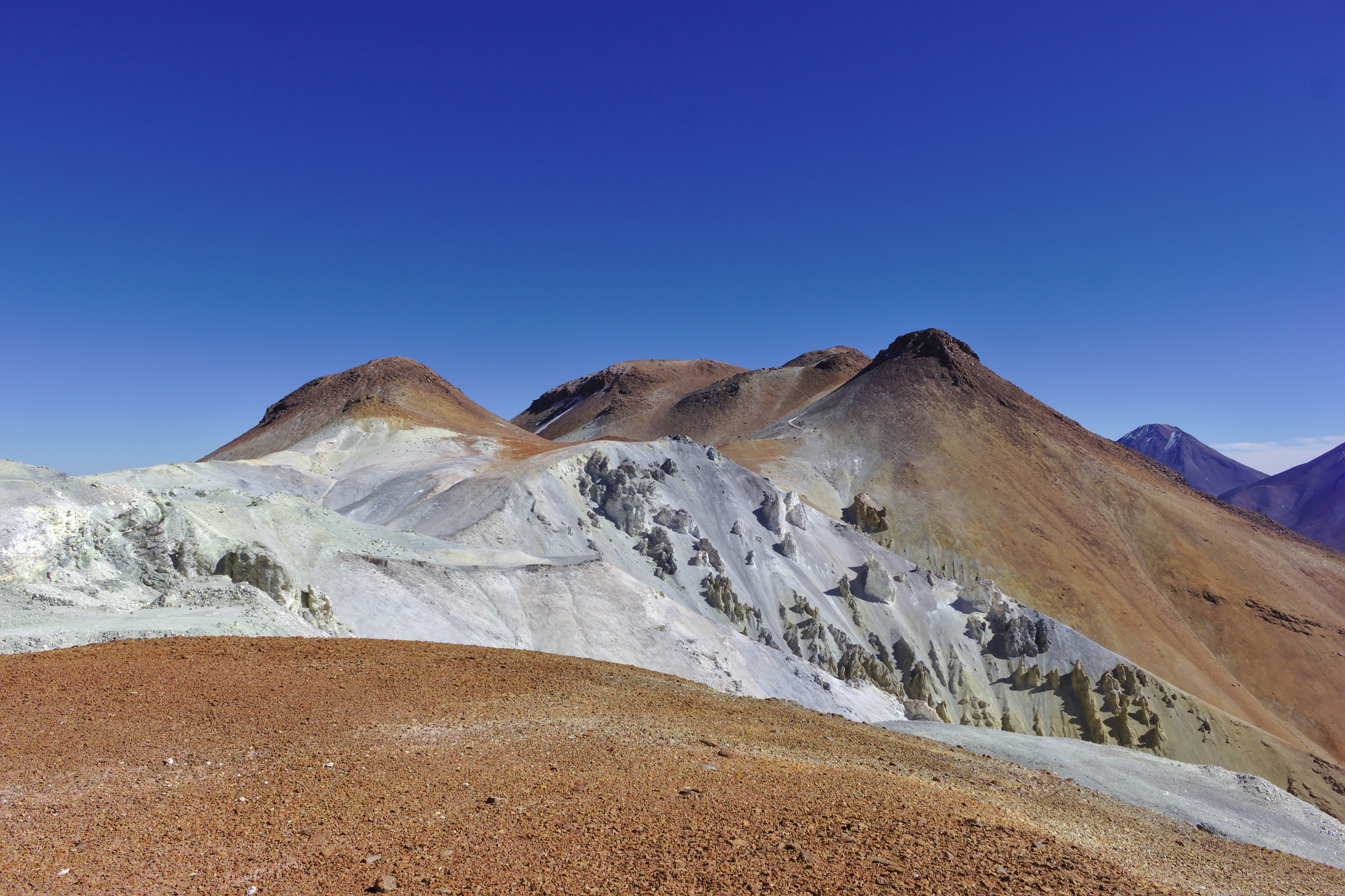
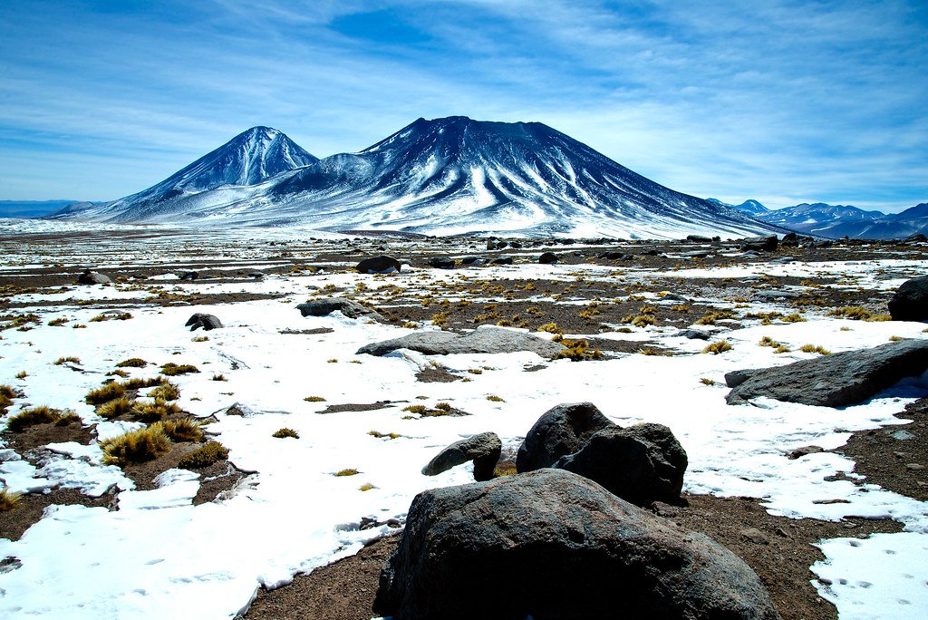
Cerro Toco

Cerro Toco

Laguna Diamante

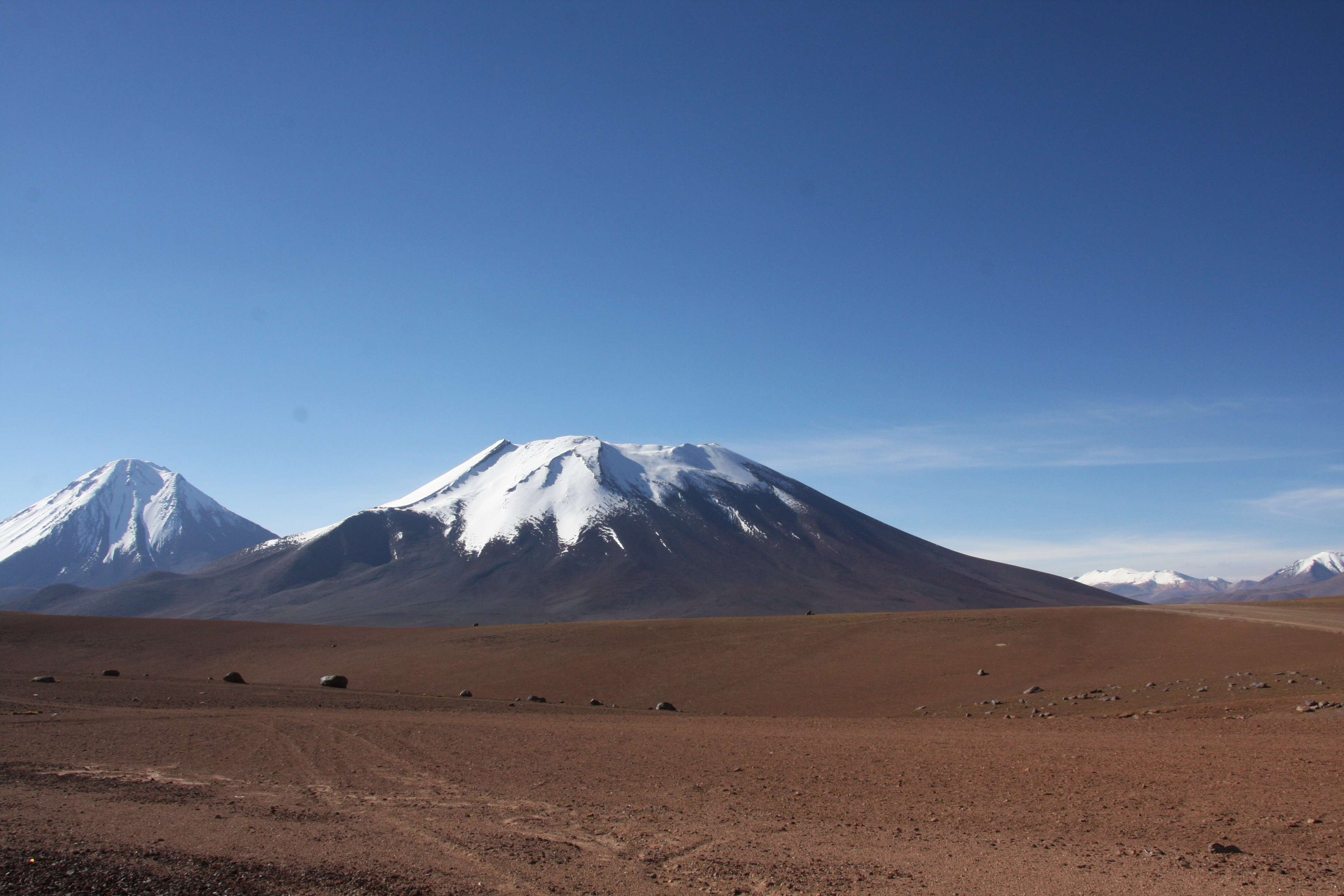
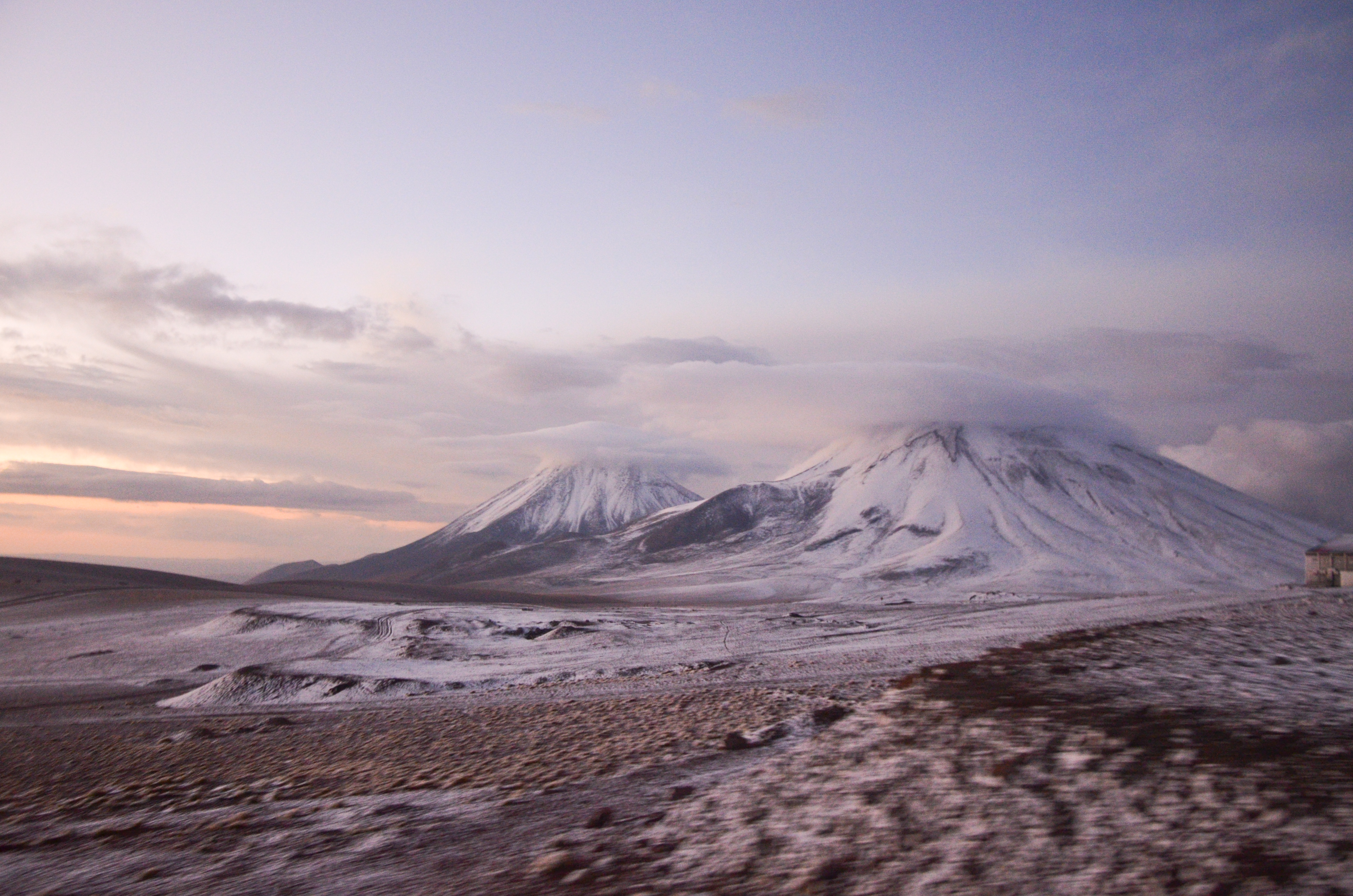
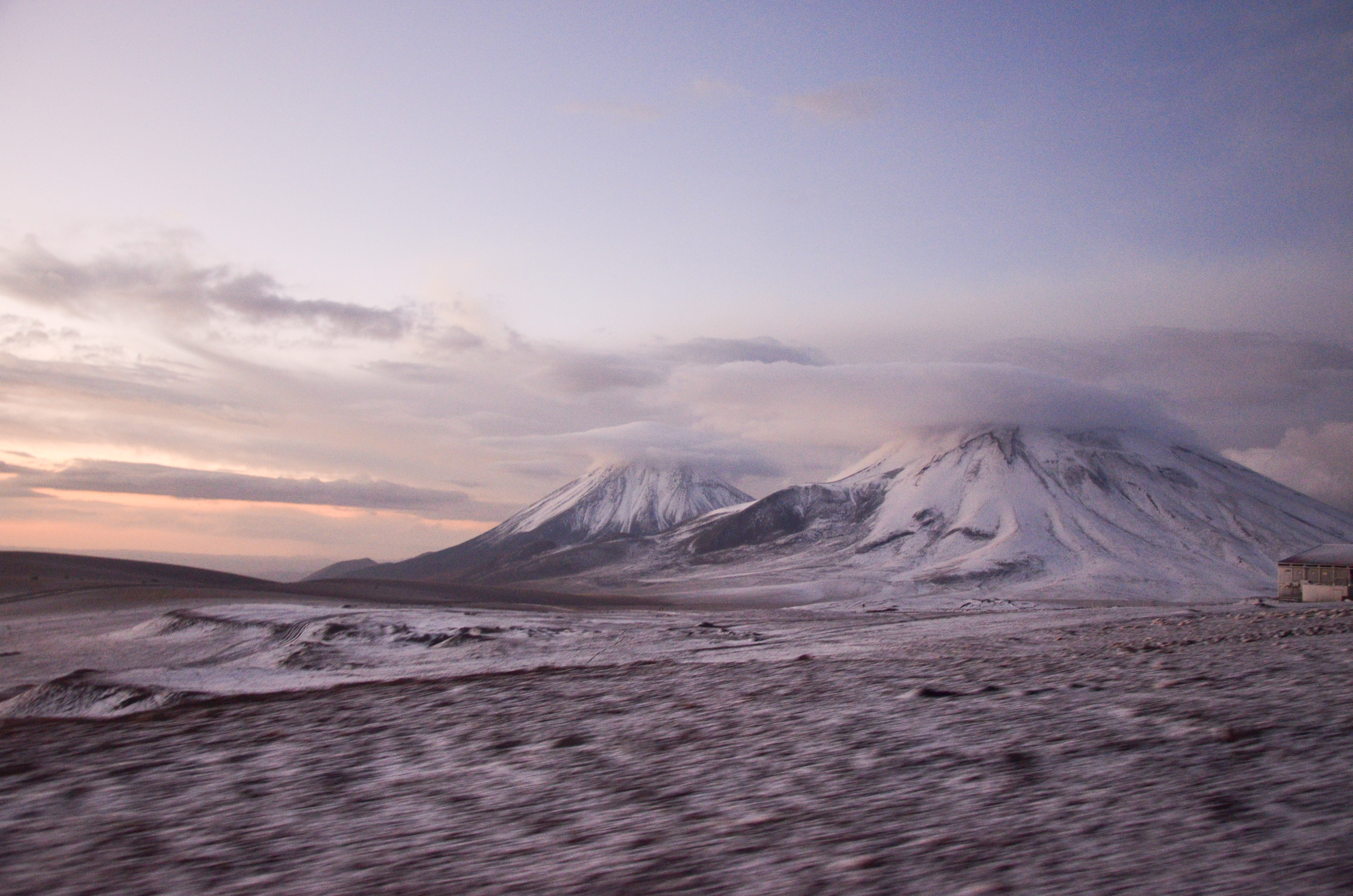
Twin volcanoes
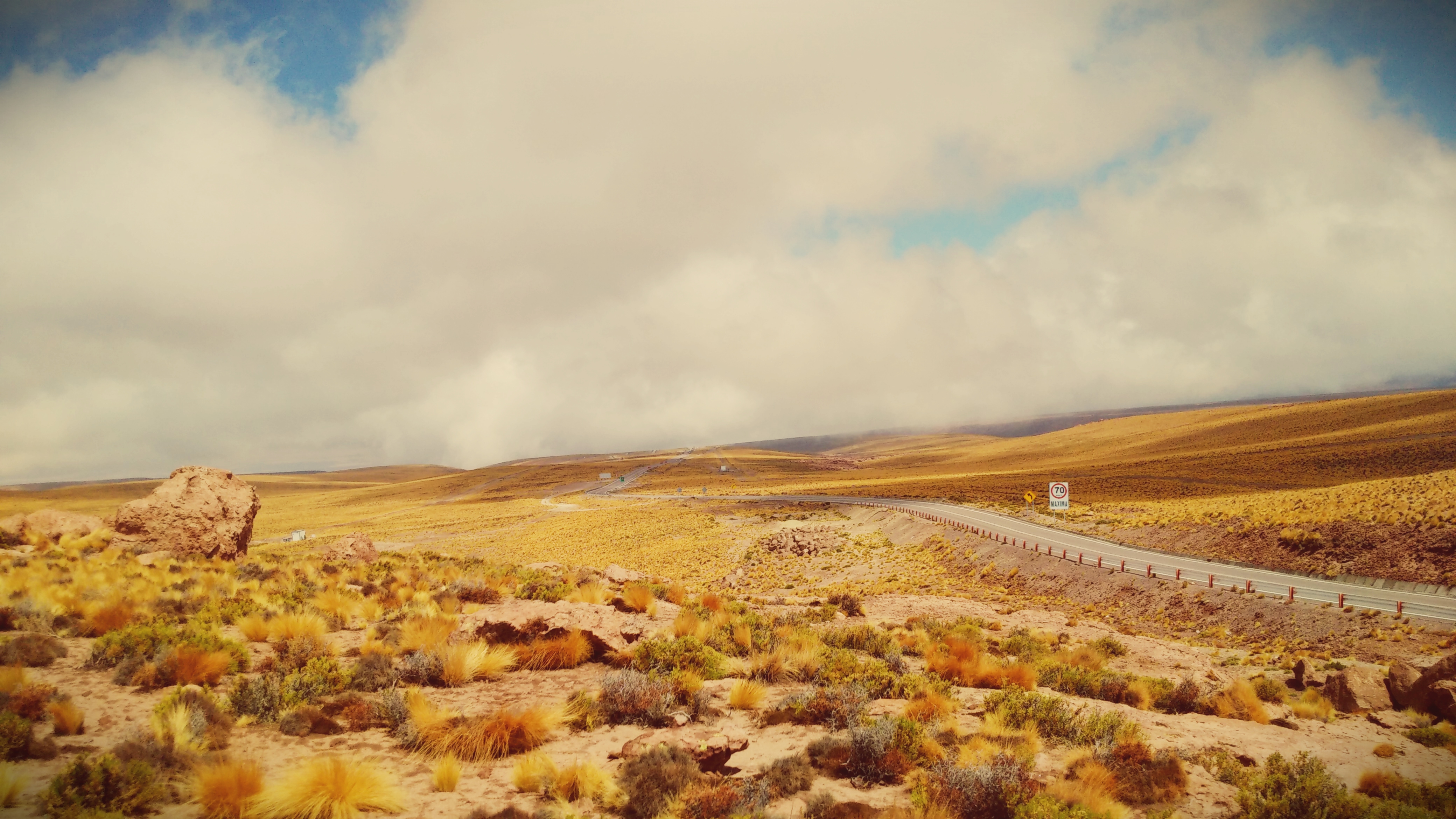
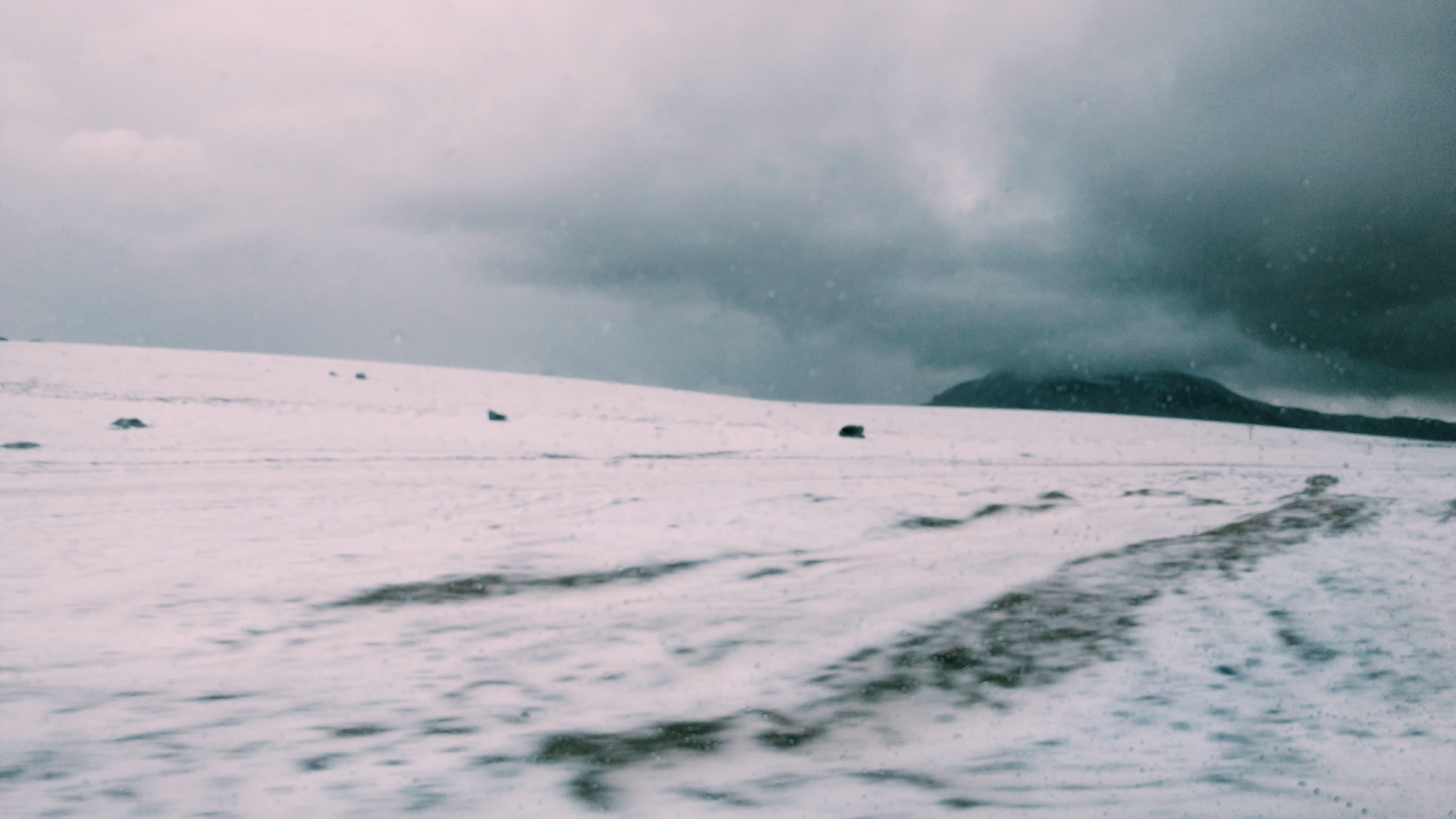
Road cloud
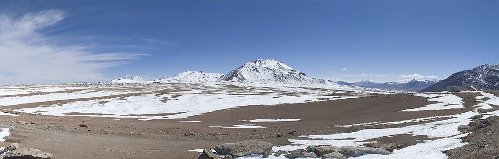
Llano de Chajnantor

Chile, Bolivia, Argentinia in one View

Licancabur.
Paso de Jama, Chile
Paso de Jama. San Pedro de Atacama.El Loa. Chile.

Sunset over ALMA

On the Top

Chili > Atacama
201411 - Chili - 0071.jpg

Coach going up the Andes
⛱️♥️
Sairecabur & Juriques volcanoes at sunset
_MG_0754.jpg
Sairecabur & Juriques volcanoes at sunset
Sairecabur & Juriques volcanoes at sunset
Topographic Map of Unnamed Road, San Pedro de Atacama, Región de Antofagasta, Chile
Find elevation by address:

Places near Unnamed Road, San Pedro de Atacama, Región de Antofagasta, Chile:
Portezuelo Del Cajón
Licancabur
Laguna Verde
Toconao
Sairecabur
Salvador Dalí Desert
Termas De Puritama
Laguna Tara / Cerro Quimal
Curiquinca
Puro Perú La Picada Pilco
Piedras Rojas Hostal
Incanorth
Tebenquiche
Toconao
San Pedro De Atacama
Laguna Cejar
San Pedro De Atacama
San Pedro De Atacama
Tocopilla 411
Calama 469
Recent Searches:
- Elevation of Corso Fratelli Cairoli, 35, Macerata MC, Italy
- Elevation of Tallevast Rd, Sarasota, FL, USA
- Elevation of 4th St E, Sonoma, CA, USA
- Elevation of Black Hollow Rd, Pennsdale, PA, USA
- Elevation of Oakland Ave, Williamsport, PA, USA
- Elevation of Pedrógão Grande, Portugal
- Elevation of Klee Dr, Martinsburg, WV, USA
- Elevation of Via Roma, Pieranica CR, Italy
- Elevation of Tavkvetili Mountain, Georgia
- Elevation of Hartfords Bluff Cir, Mt Pleasant, SC, USA