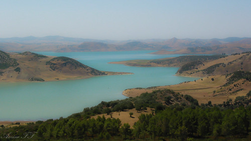
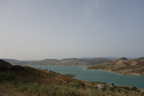
Elevation of Unnamed Road, Morocco
Location: Morocco > Tangier-tétouan-al Hoceima > Larache >
Longitude: -5.781567
Latitude: 35.0154849
Elevation: 166m / 545feet
Barometric Pressure: 99KPa
Related Photos:
Topographic Map of Unnamed Road, Morocco
Find elevation by address:

Places near Unnamed Road, Morocco:
Jahejouka
Sidi Kacem
Mechra Bel Ksiri
Sidi Slimane
Kenitra
Rabat-salé-kénitra
Bafra Military Airport
Unnamed Road
Kenitra
Sidi Taibi
Tiflet
Khemisset Province
Ait Ichou
Ait Ichou
Sale Al Jadida
Bouknadel
Ait Belkacem
Rabat - Sale Airport
Sale
Salé
Recent Searches:
- Elevation of Corso Fratelli Cairoli, 35, Macerata MC, Italy
- Elevation of Tallevast Rd, Sarasota, FL, USA
- Elevation of 4th St E, Sonoma, CA, USA
- Elevation of Black Hollow Rd, Pennsdale, PA, USA
- Elevation of Oakland Ave, Williamsport, PA, USA
- Elevation of Pedrógão Grande, Portugal
- Elevation of Klee Dr, Martinsburg, WV, USA
- Elevation of Via Roma, Pieranica CR, Italy
- Elevation of Tavkvetili Mountain, Georgia
- Elevation of Hartfords Bluff Cir, Mt Pleasant, SC, USA


