Elevation of Unnamed Road, Morocco
Location: Morocco > Marrakesh-safi >
Longitude: -7.7703992
Latitude: 32.1106938
Elevation: 410m / 1345feet
Barometric Pressure: 96KPa
Elevation Map:
Satellite Map:
Related Photos:
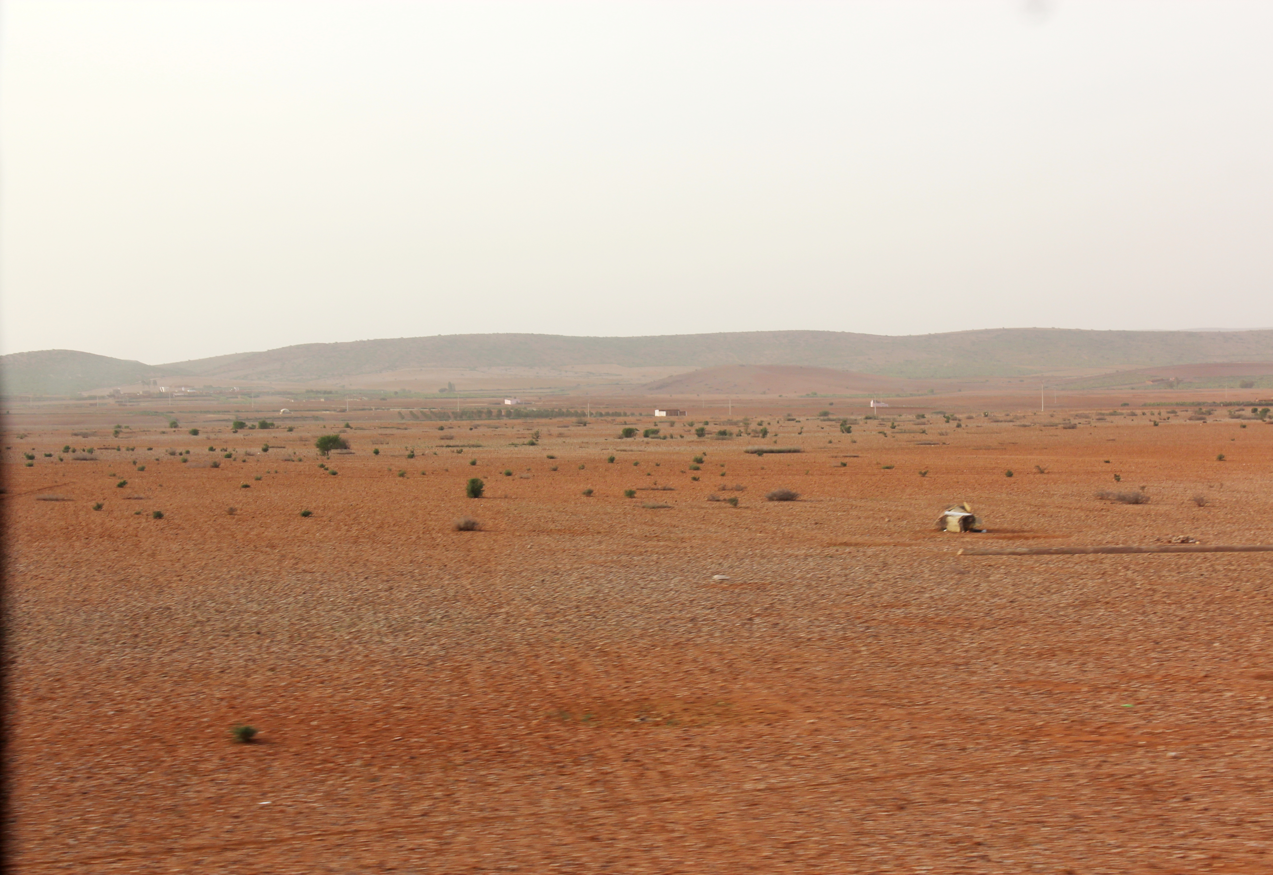
Desert along road to Marrakech, Morocco

Berber Village or Kasbah, Morocco
Topographic Map of Unnamed Road, Morocco
Find elevation by address:

Places near Unnamed Road, Morocco:
Unnamed Road
Ouled Ben Anou Grichate
Unnamed Road
Unnamed Road
Rehamna
Tamensourt
Marrakesh-safi
Marrakesh
Medina
El Ksour
Djemaa El Fna جامع الفنا
Riad Kaiss
Riad Africa
Royal Tennis Club De Marrakech
Marrakesh
Ait Ourir
Marrakesh-tensift-el Haouz
Sidi Zouine
Oued Ourika
Morocco
Recent Searches:
- Elevation of Corso Fratelli Cairoli, 35, Macerata MC, Italy
- Elevation of Tallevast Rd, Sarasota, FL, USA
- Elevation of 4th St E, Sonoma, CA, USA
- Elevation of Black Hollow Rd, Pennsdale, PA, USA
- Elevation of Oakland Ave, Williamsport, PA, USA
- Elevation of Pedrógão Grande, Portugal
- Elevation of Klee Dr, Martinsburg, WV, USA
- Elevation of Via Roma, Pieranica CR, Italy
- Elevation of Tavkvetili Mountain, Georgia
- Elevation of Hartfords Bluff Cir, Mt Pleasant, SC, USA