Elevation of Unnamed Road, Alzey, Germany
Location: Germany > Rhineland-palatinate > Alzey-worms > Alzey >
Longitude: 8.0808222
Latitude: 49.751838
Elevation: 288m / 945feet
Barometric Pressure: 98KPa
Elevation Map:
Satellite Map:
Related Photos:

The Kiirtan Flow
a view at Flörsheim-Dalsheim

Felder am Petersberg

Petersberg - view to Bechtolsheim

Frosty Morning

Garten in Gundersheim :: HDR

établissement vinicole ©

the thing about keeping

Group Photo
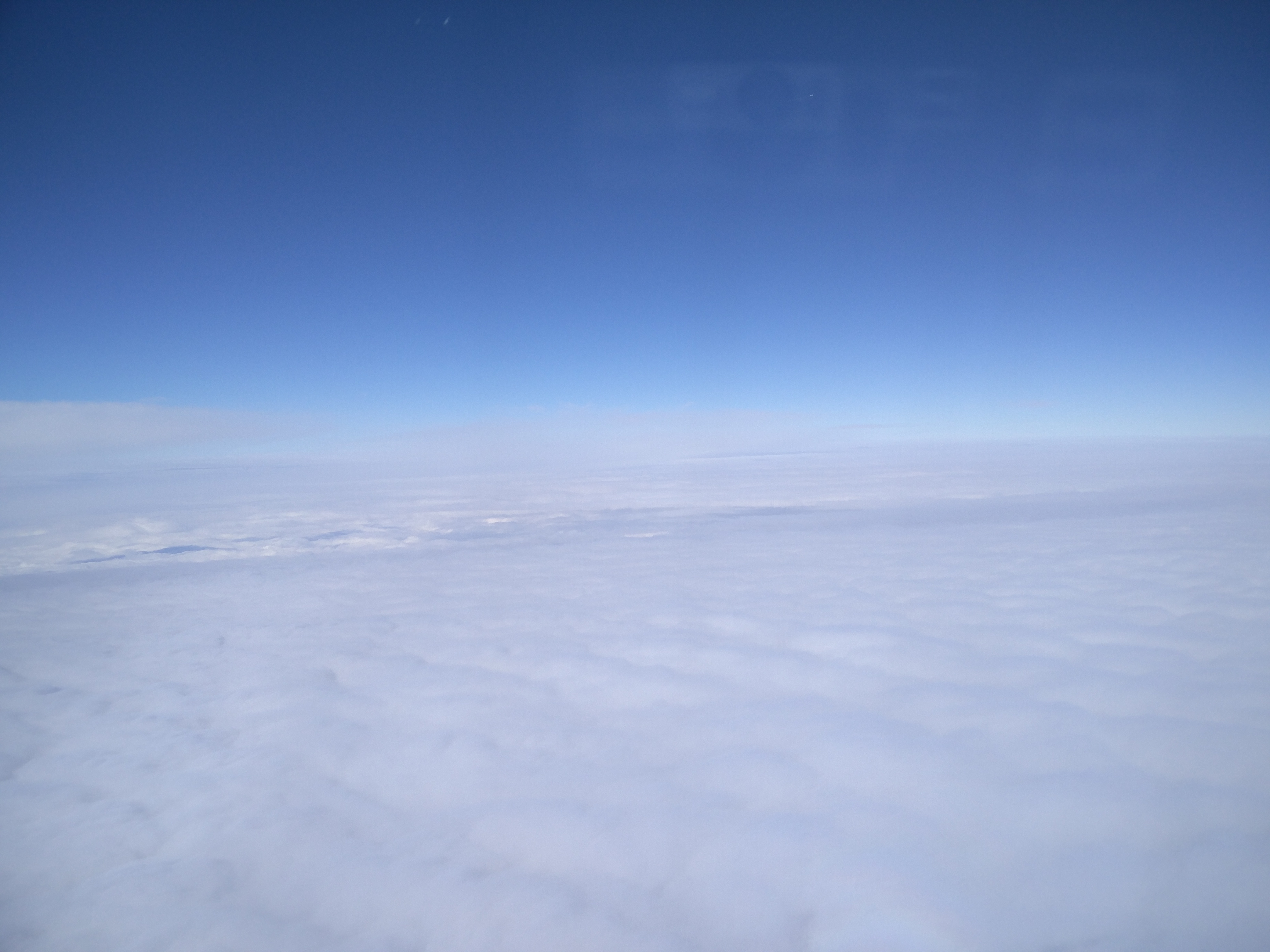
View after take-off

Burning sky
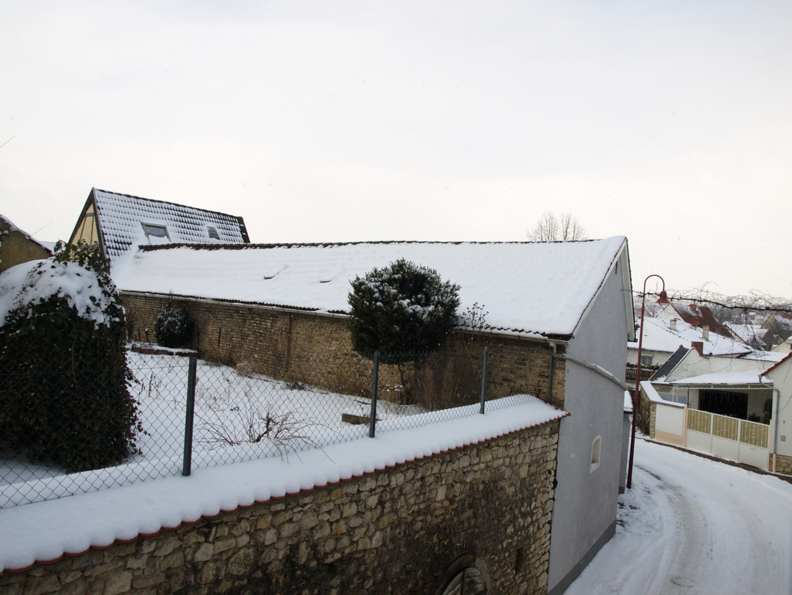
Winter view

Sunset storm

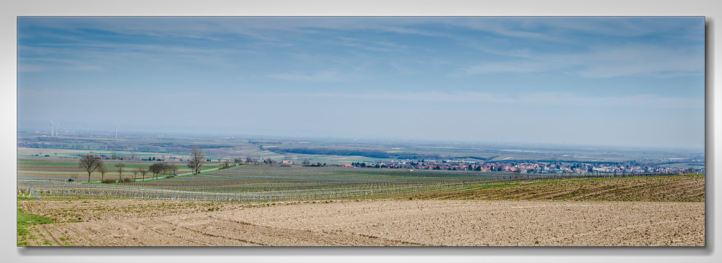
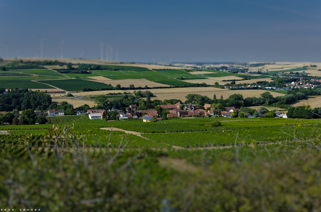
Alzey/Rheinhessen
next to my heart, to my conscience, to my faith

don't you see what you're finding? this is heaven in hiding
Niefernheim (Zellertal)
fake paradise for no one

Strohballen 2
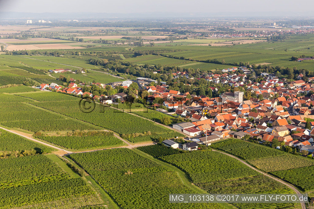
Bechtheim (0.59 km North-West) - IMG_103138
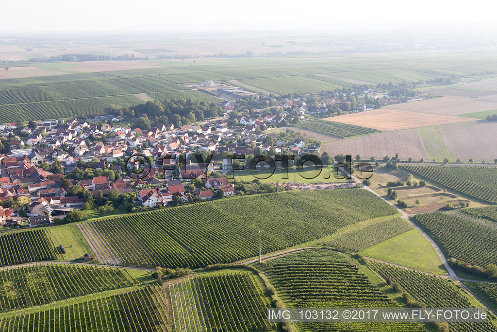
Bechtheim (0.59 km North) - IMG_103132
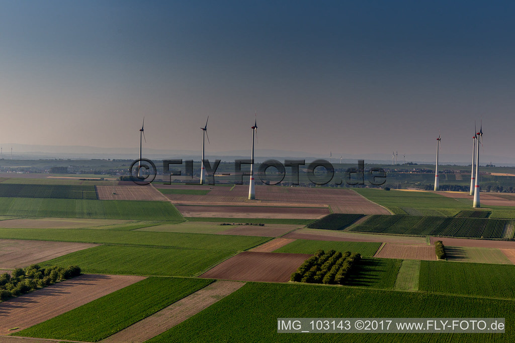
Bechtheim (0.65 km North) - IMG_103143
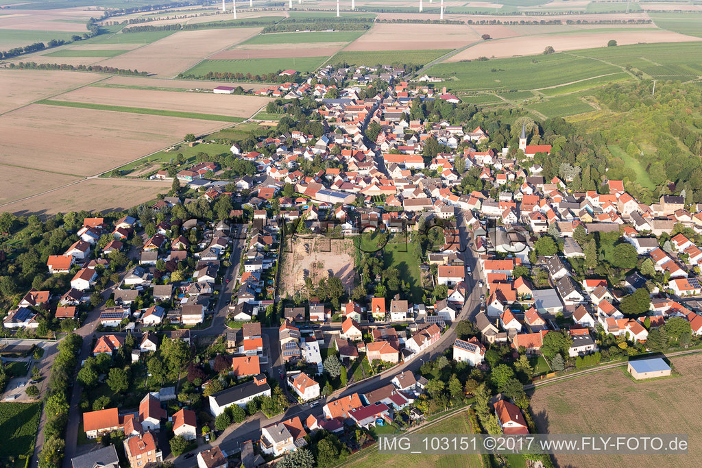
Dittelsheim-Heßloch (0.51 km South) - IMG_103151

the afternoon started sunny, but...

September meadow bw

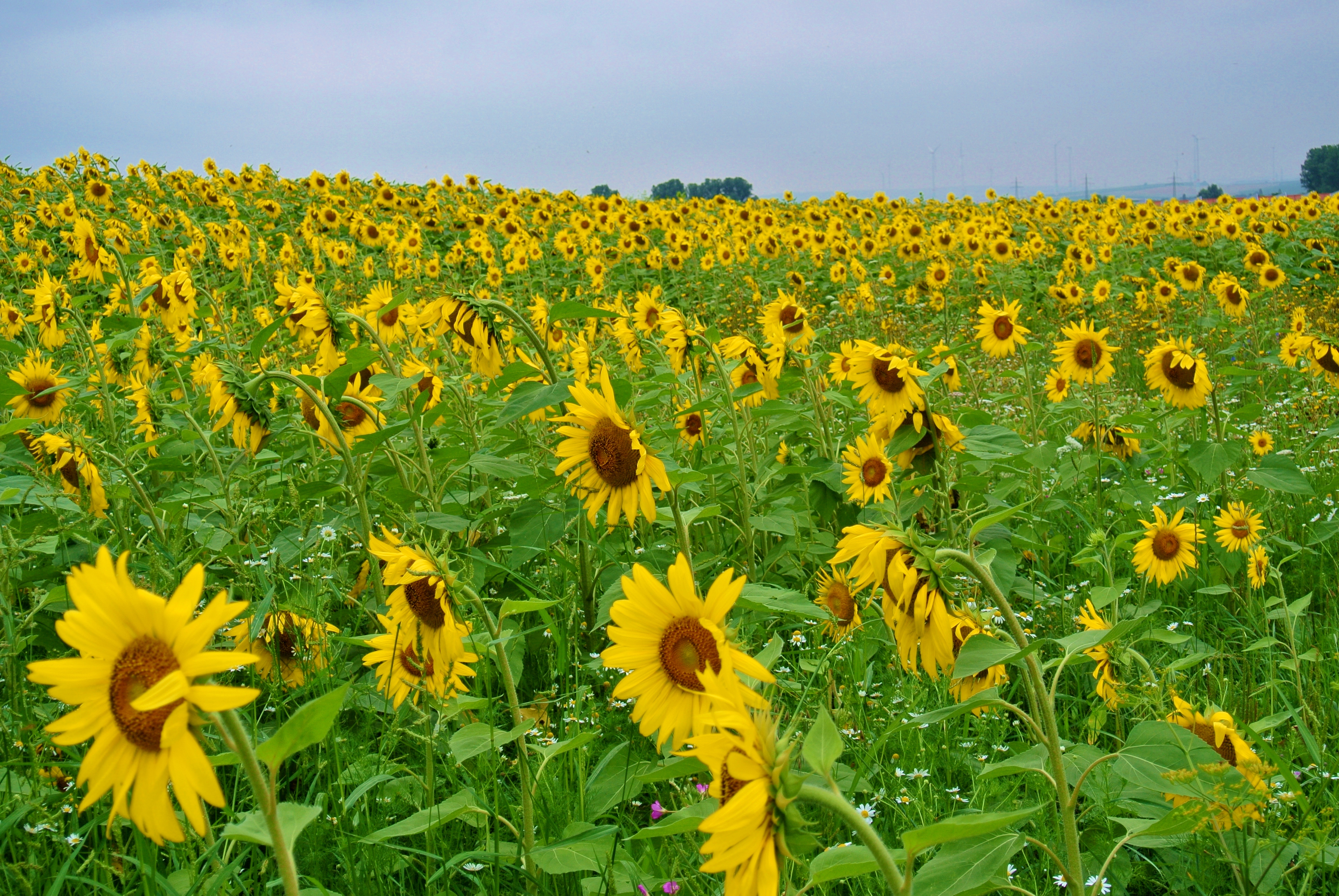
yellow fields

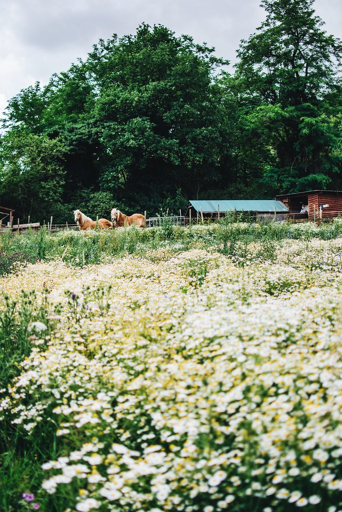
smells like summer

searching spring

Kibo city mix
Photographer's Delight

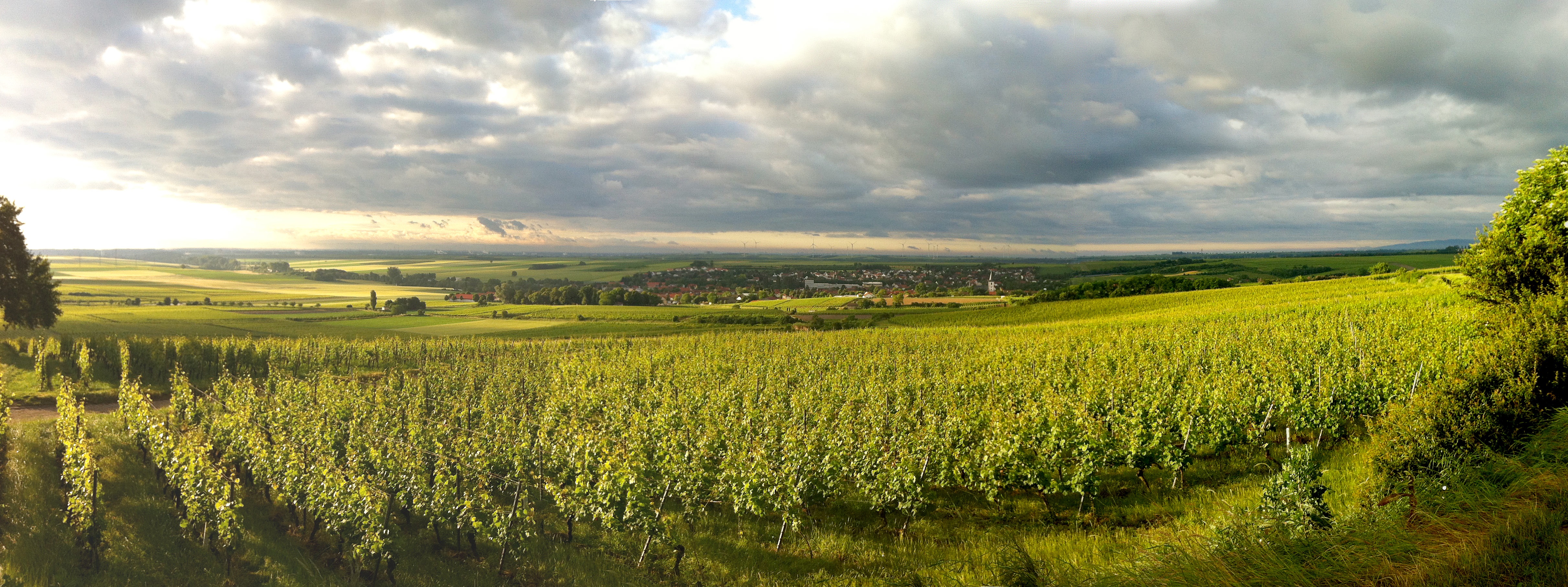
Morgenlicht im Weinberg
Blick über Westhofen
Topographic Map of Unnamed Road, Alzey, Germany
Find elevation by address:

Places near Unnamed Road, Alzey, Germany:
Flonheim
Uffhofen
Hauptstraße 45, Flonheim, Germany
Siefersheim
8a
5a
Badenheim
Hauptstraße 42, Nieder-Hilbersheim, Germany
Nieder-hilbersheim
Biebelsheim
Obergasse 9, Biebelsheim, Germany
Frei-laubersheim
Philipp-Wehr-Straße 19, Frei-Laubersheim, Germany
Gensingen
Bad Kreuznach
Burgenlandstraße 9
Kurhausstraße 39, Bad Münster am Stein-Ebernburg, Germany
Bad Münster Am Stein-ebernburg
Laubenheim
Schulstraße 28, Laubenheim, Germany
Recent Searches:
- Elevation of Corso Fratelli Cairoli, 35, Macerata MC, Italy
- Elevation of Tallevast Rd, Sarasota, FL, USA
- Elevation of 4th St E, Sonoma, CA, USA
- Elevation of Black Hollow Rd, Pennsdale, PA, USA
- Elevation of Oakland Ave, Williamsport, PA, USA
- Elevation of Pedrógão Grande, Portugal
- Elevation of Klee Dr, Martinsburg, WV, USA
- Elevation of Via Roma, Pieranica CR, Italy
- Elevation of Tavkvetili Mountain, Georgia
- Elevation of Hartfords Bluff Cir, Mt Pleasant, SC, USA