Elevation of Union, NE, USA
Location: United States > Nebraska > Cass County >
Longitude: -95.921983
Latitude: 40.814293
Elevation: 308m / 1010feet
Barometric Pressure: 98KPa
Elevation Map:
Satellite Map:
Related Photos:
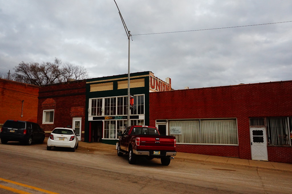
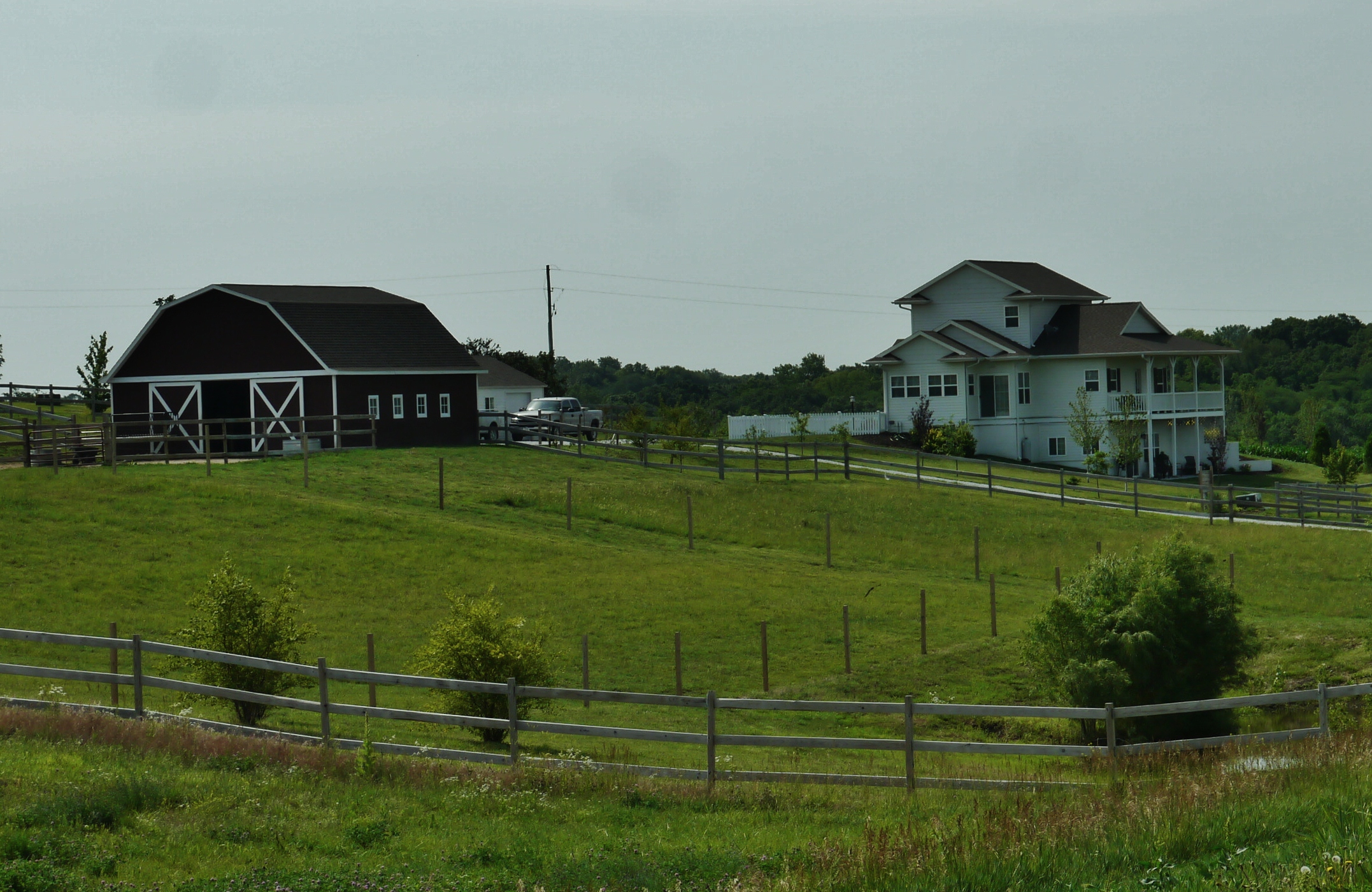
Antique Town
North Branch

Prairie wildflowers - Nebraska landscape

SOUL of the earth
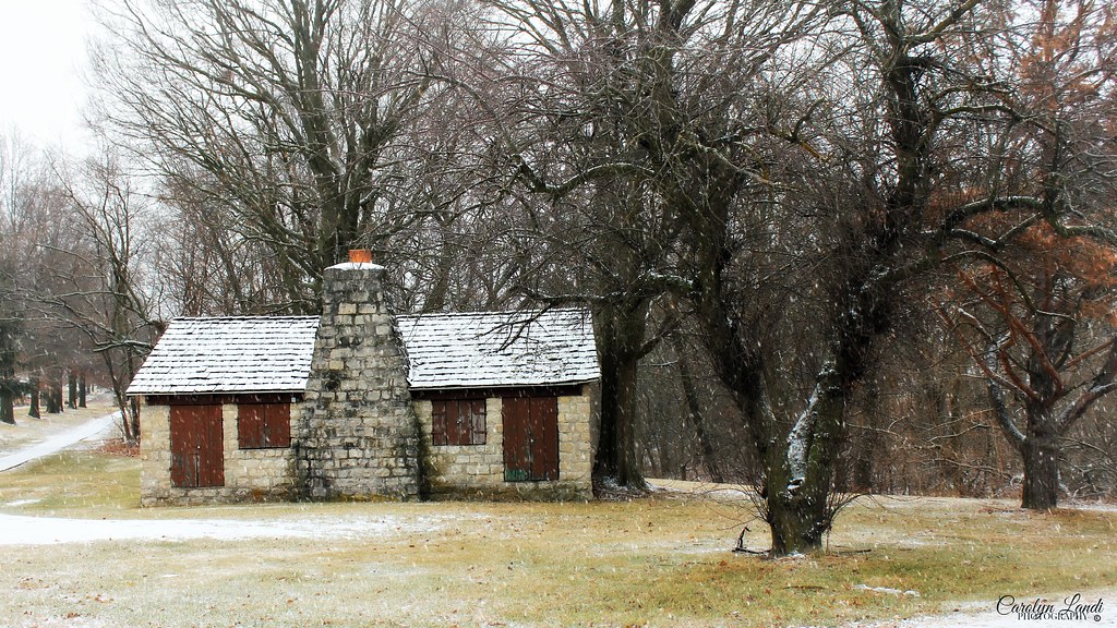
The Cabin In The Woods

Bridge through the trees
photo.jpg

OUCH!

Missouri River Flooding
61712-091, Yes, There are Nice Places in Nebraska
June 2013
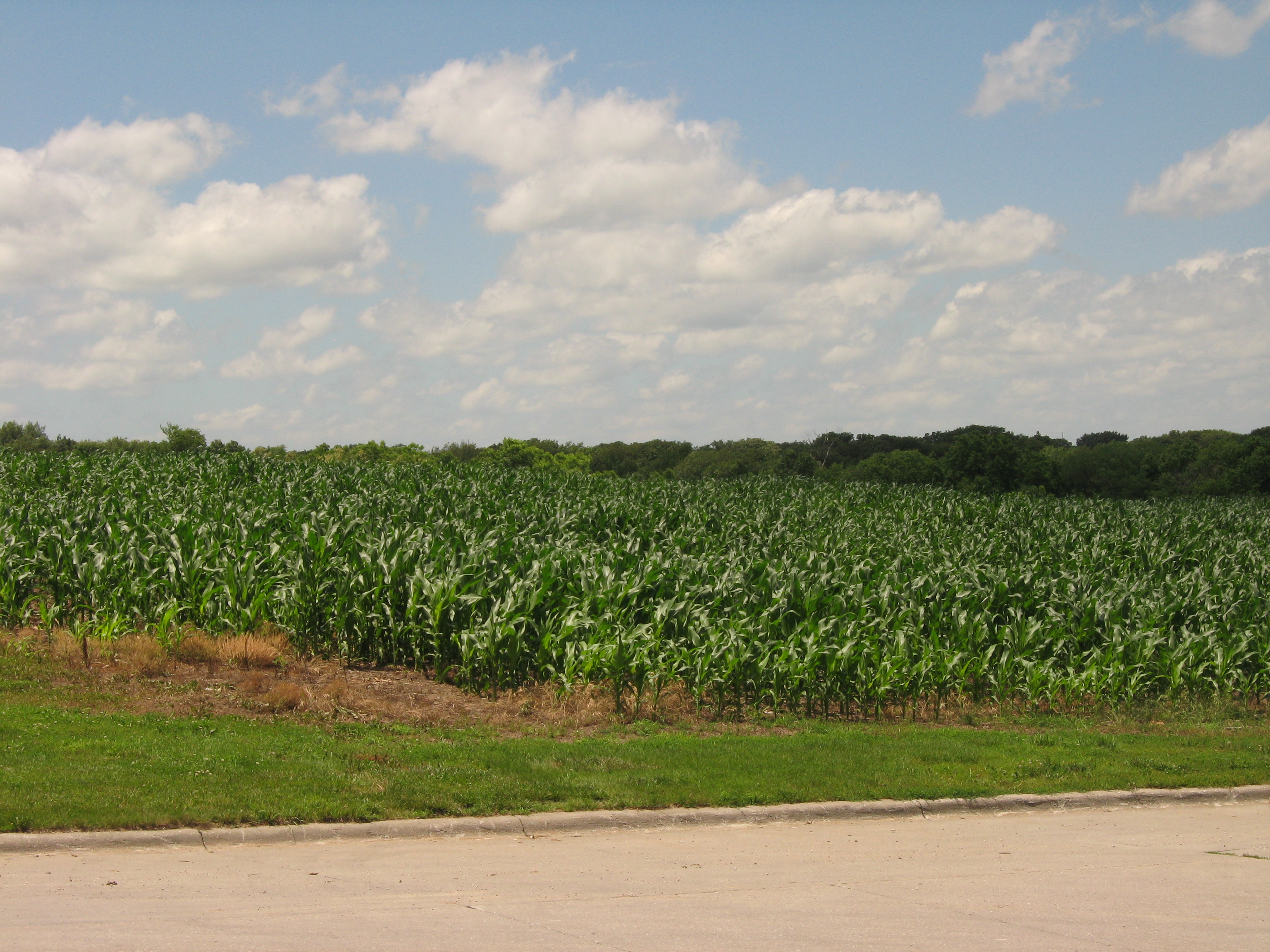
Nebraska cornfield
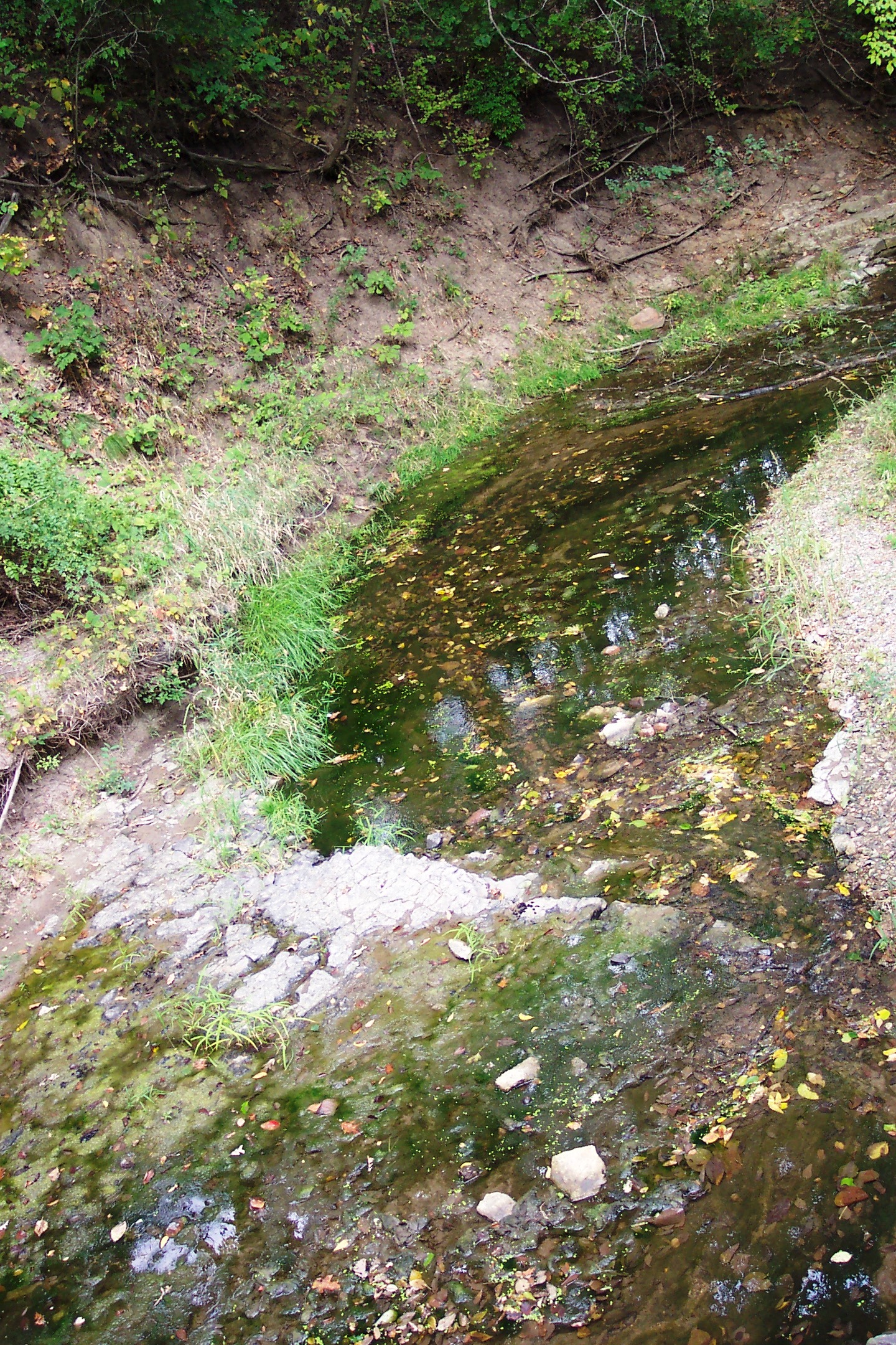
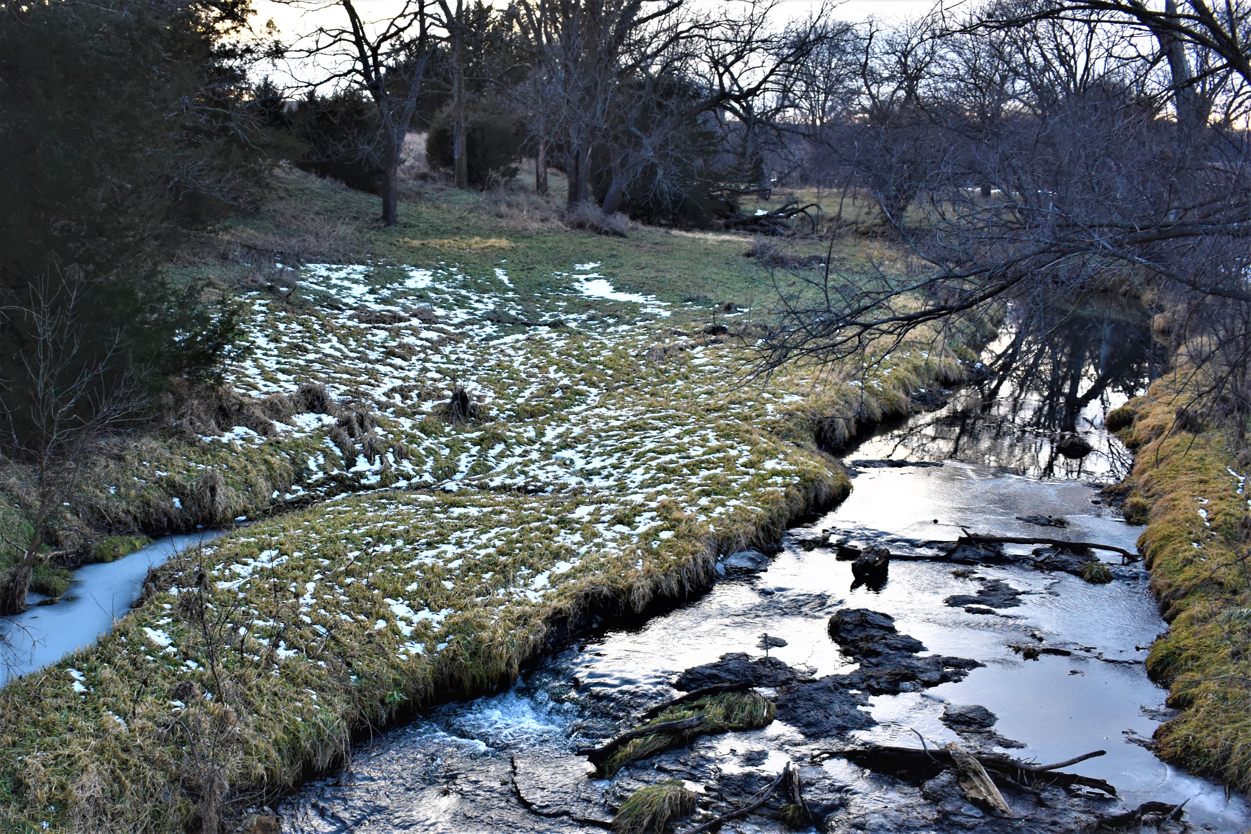
Winding Creek

Arbor Day Farm 9.30.16-13 Bethany Charlie

Dead twigs in the meadow
Topographic Map of Union, NE, USA
Find elevation by address:

Places near Union, NE, USA:
Sherman Ave, Nehawka, NE, USA
Nehawka
Nehawka
Nehawka
Nehawka
Nehawka
Nehawka
Nehawka
Nehawka
Nehawka
Nehawka
Nehawka
Nehawka
Nehawka
Nehawka
Nehawka
Nehawka
Nehawka
Nehawka
Nehawka
Recent Searches:
- Elevation of Corso Fratelli Cairoli, 35, Macerata MC, Italy
- Elevation of Tallevast Rd, Sarasota, FL, USA
- Elevation of 4th St E, Sonoma, CA, USA
- Elevation of Black Hollow Rd, Pennsdale, PA, USA
- Elevation of Oakland Ave, Williamsport, PA, USA
- Elevation of Pedrógão Grande, Portugal
- Elevation of Klee Dr, Martinsburg, WV, USA
- Elevation of Via Roma, Pieranica CR, Italy
- Elevation of Tavkvetili Mountain, Georgia
- Elevation of Hartfords Bluff Cir, Mt Pleasant, SC, USA