Elevation of Union, KS, USA
Location: United States > Kansas > Rice County >
Longitude: -97.981084
Latitude: 38.4021803
Elevation: 494m / 1621feet
Barometric Pressure: 96KPa
Elevation Map:
Satellite Map:
Related Photos:
DSC_0897
DSC_0890

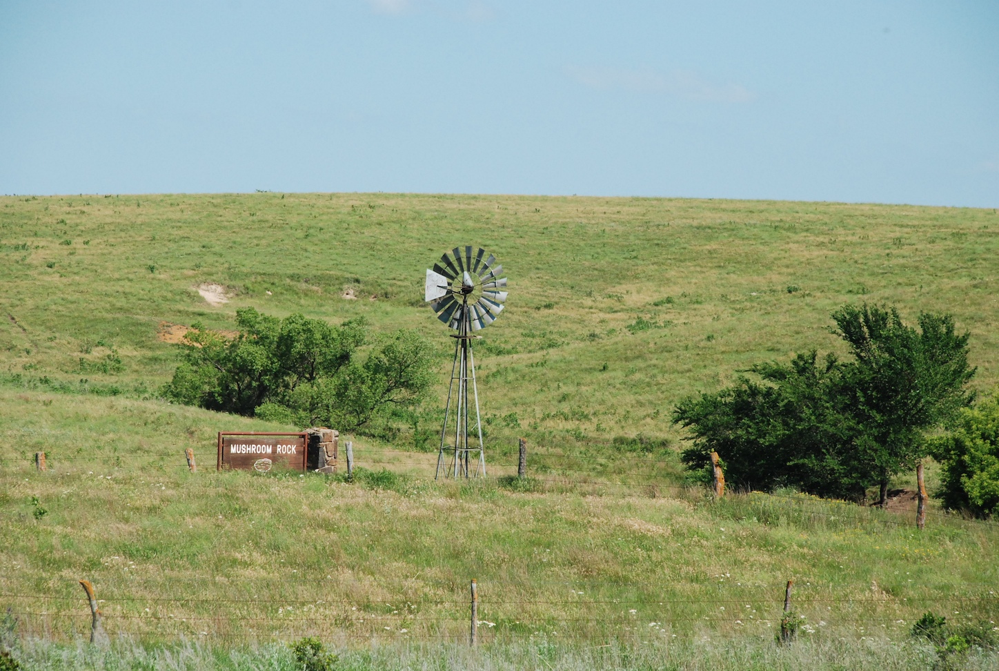
Little River, Kansas

Downtown Windom (2 of 2)

Downtown Windom (1 of 2)

Fuller's Market

Windom City Hall building

U.S.A. State, Kansas, City, Little River (Ford Crown Vic.)

Slowly Falling

WAMX 3902

WAMX 3902

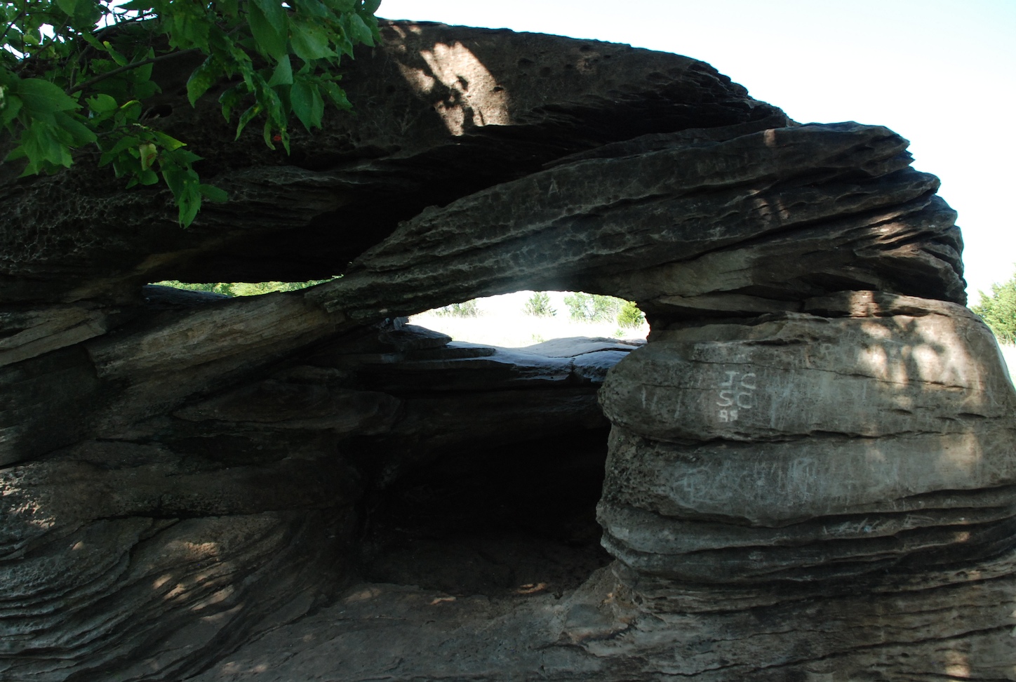
Storybook elevator

DSC_0909 (1)
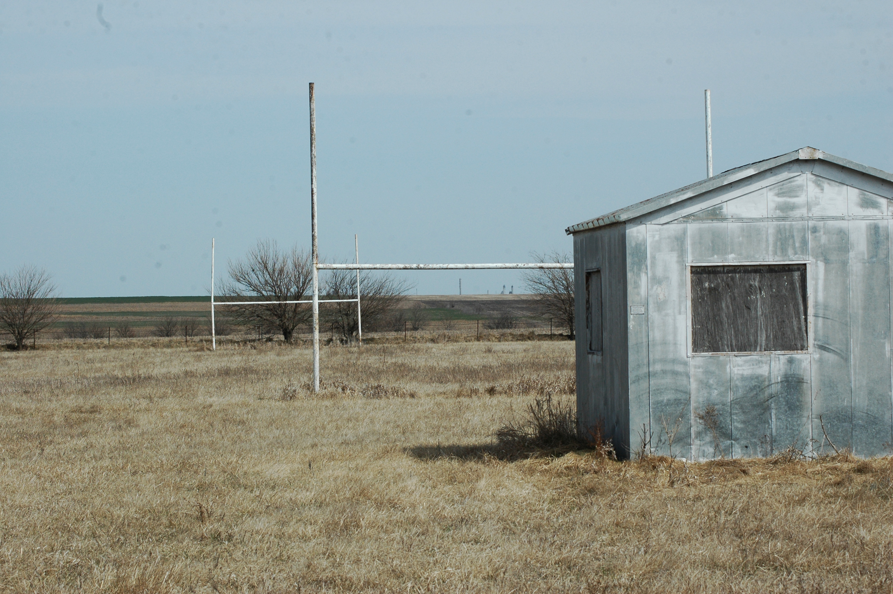
Old Football Field

New Beginnings
Topographic Map of Union, KS, USA
Find elevation by address:

Places in Union, KS, USA:
Places near Union, KS, USA:
Main St, Little River, KS, USA
Little River
Windom
Main St, Windom, KS, USA
Church St, Lyons, KS, USA
Castle
Mitchell
Avenue W, Marquette, KS, USA
Langley
US-56, McPherson, KS, USA
Main St, Geneseo, KS, USA
Geneseo
Marquette
E 4th St, Marquette, KS, USA
Marquette
Jackson
Lyons
Victoria
10410 Pennington Rd
1 Sunflower Ln, Marquette, KS, USA
Recent Searches:
- Elevation of Corso Fratelli Cairoli, 35, Macerata MC, Italy
- Elevation of Tallevast Rd, Sarasota, FL, USA
- Elevation of 4th St E, Sonoma, CA, USA
- Elevation of Black Hollow Rd, Pennsdale, PA, USA
- Elevation of Oakland Ave, Williamsport, PA, USA
- Elevation of Pedrógão Grande, Portugal
- Elevation of Klee Dr, Martinsburg, WV, USA
- Elevation of Via Roma, Pieranica CR, Italy
- Elevation of Tavkvetili Mountain, Georgia
- Elevation of Hartfords Bluff Cir, Mt Pleasant, SC, USA