Elevation of Umarkot, Umerkot, Sindh, Pakistan
Location: Pakistan > Sindh > Umerkot > Umerkot >
Longitude: 69.7376286
Latitude: 25.354928
Elevation: 19m / 62feet
Barometric Pressure: 101KPa
Elevation Map:
Satellite Map:
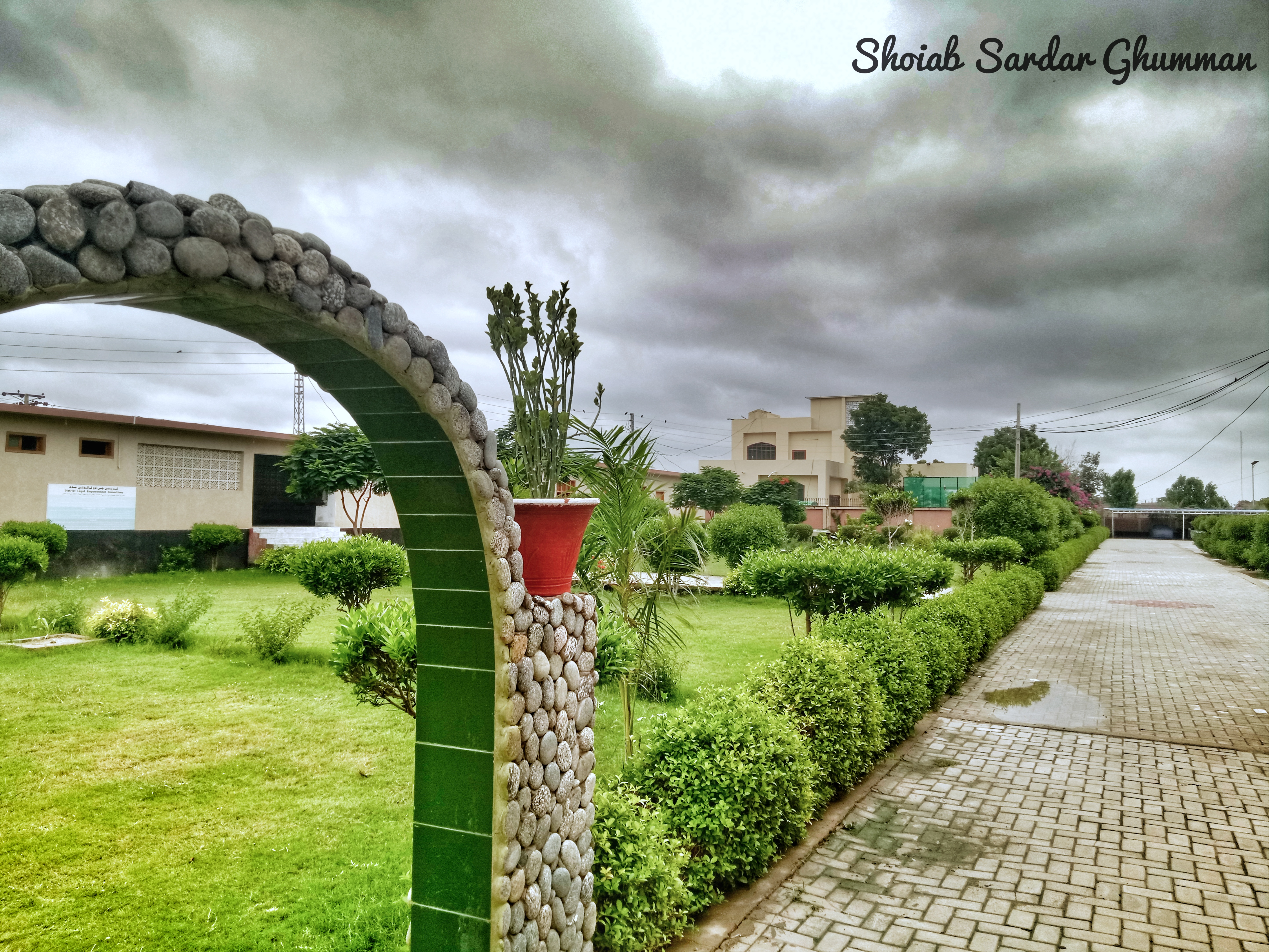
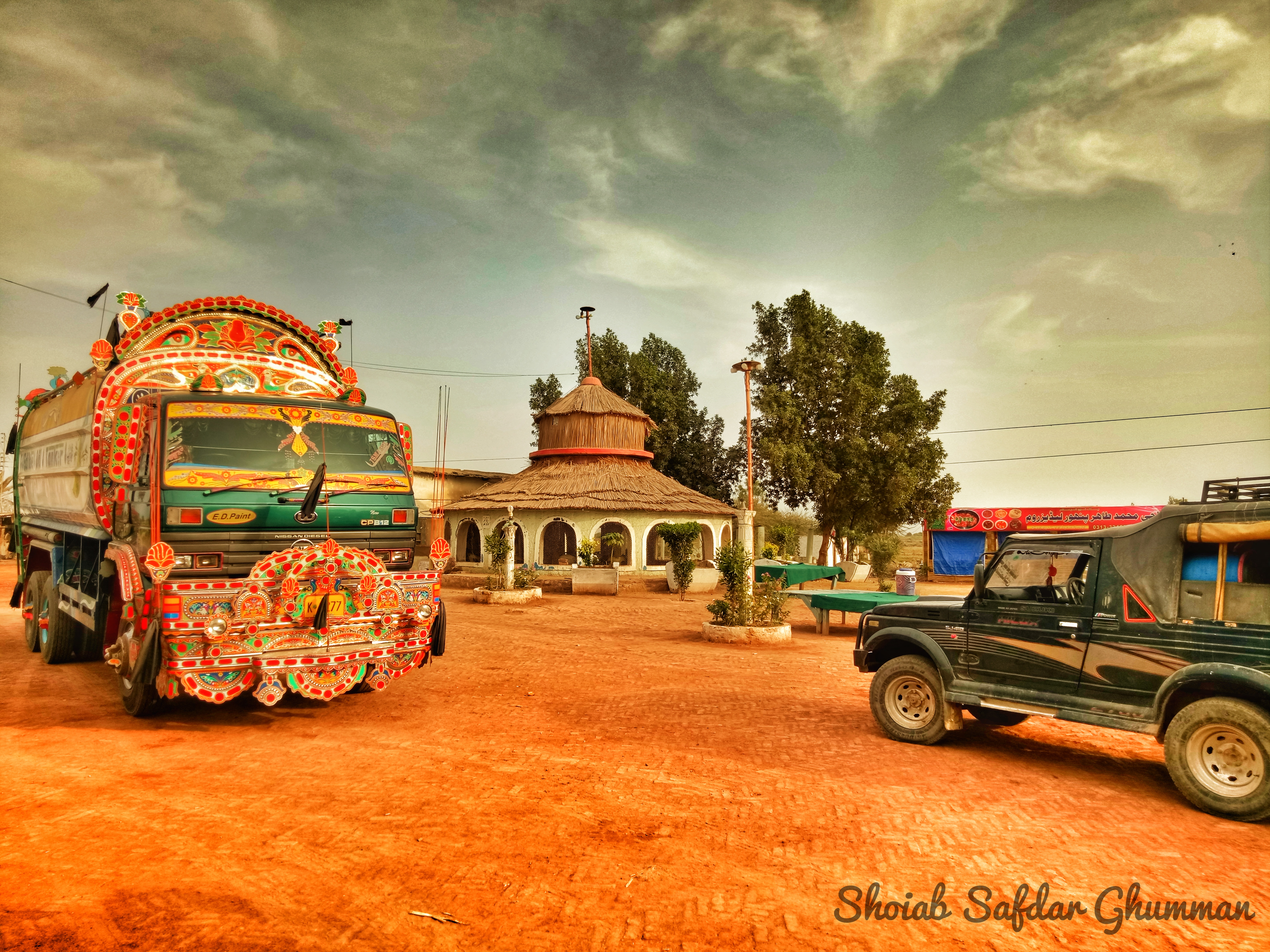
Related Photos:
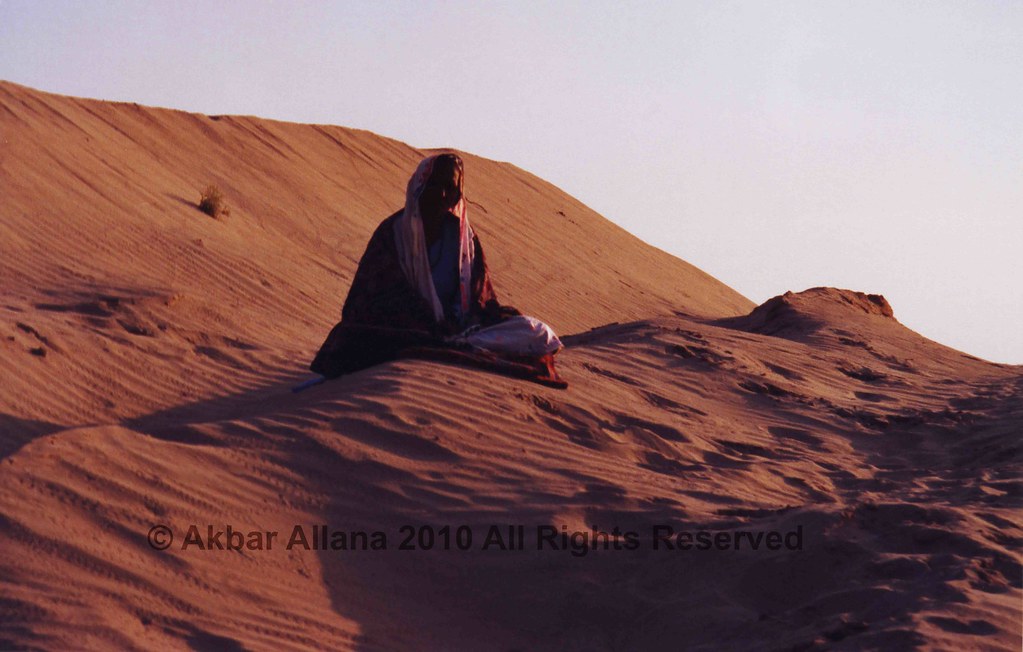
Mai Soni
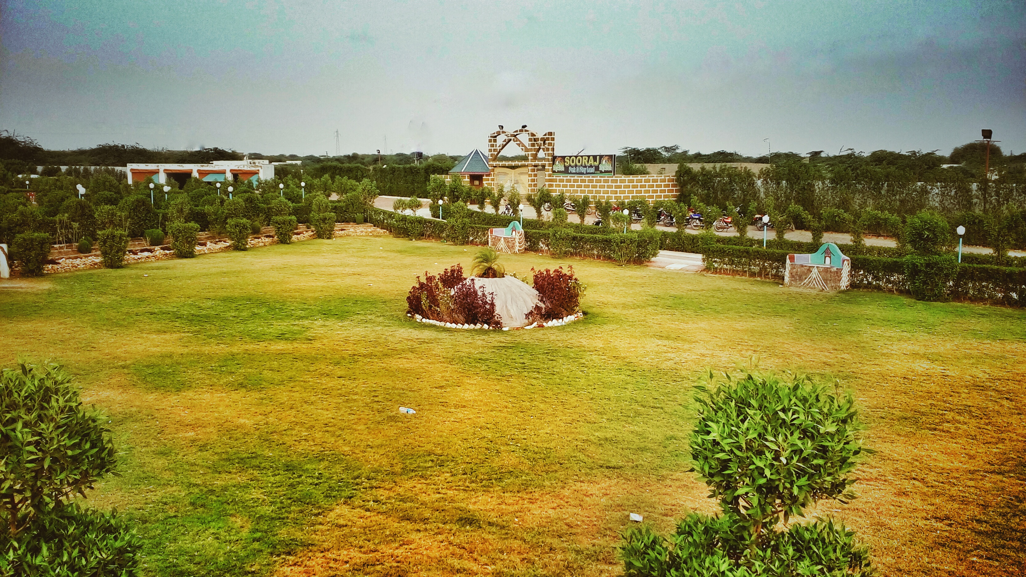
سورج پارک، عمر کوٹ
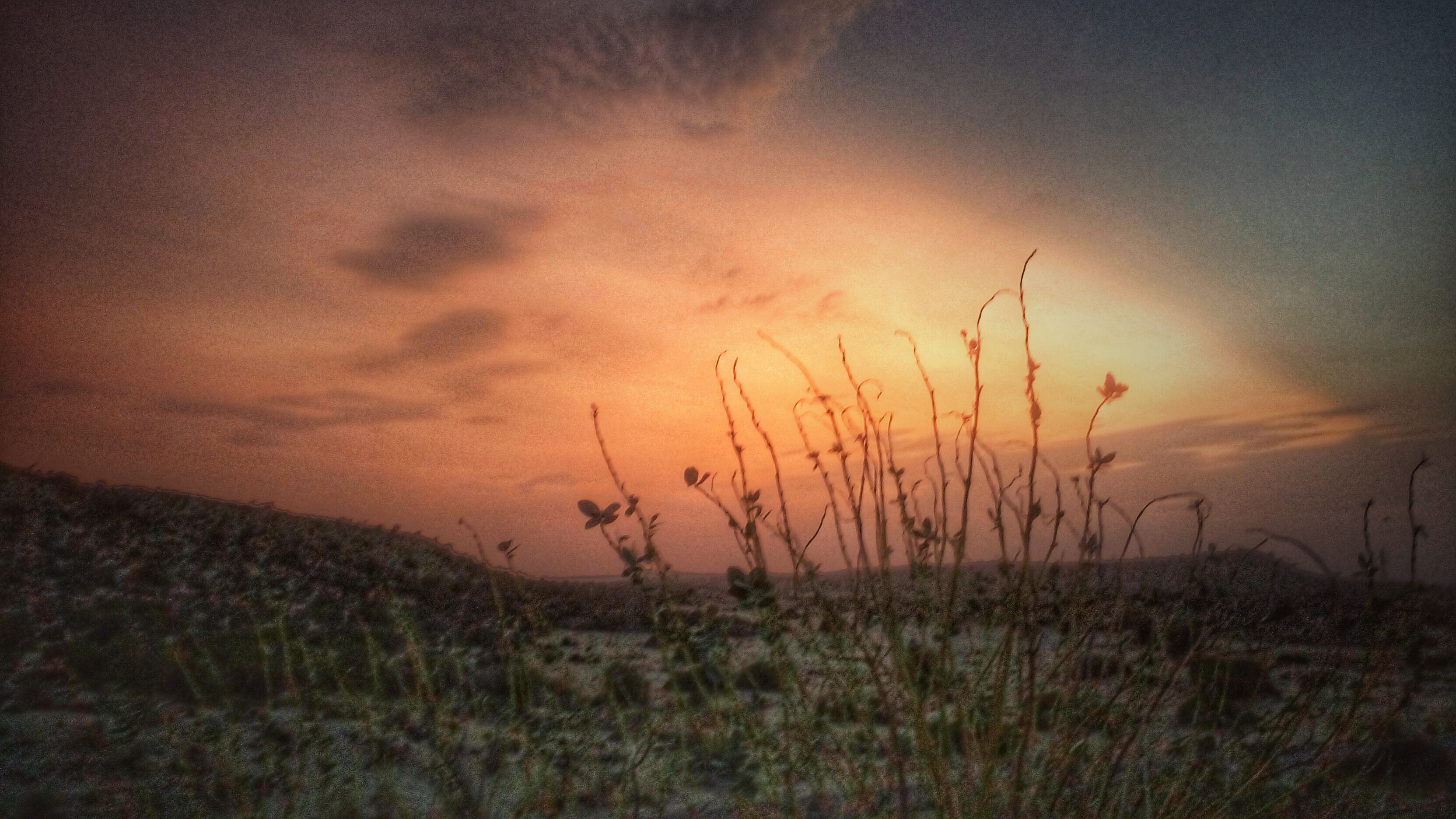
#thar #evening #sunset #sand #sky
شام اور ریگستان
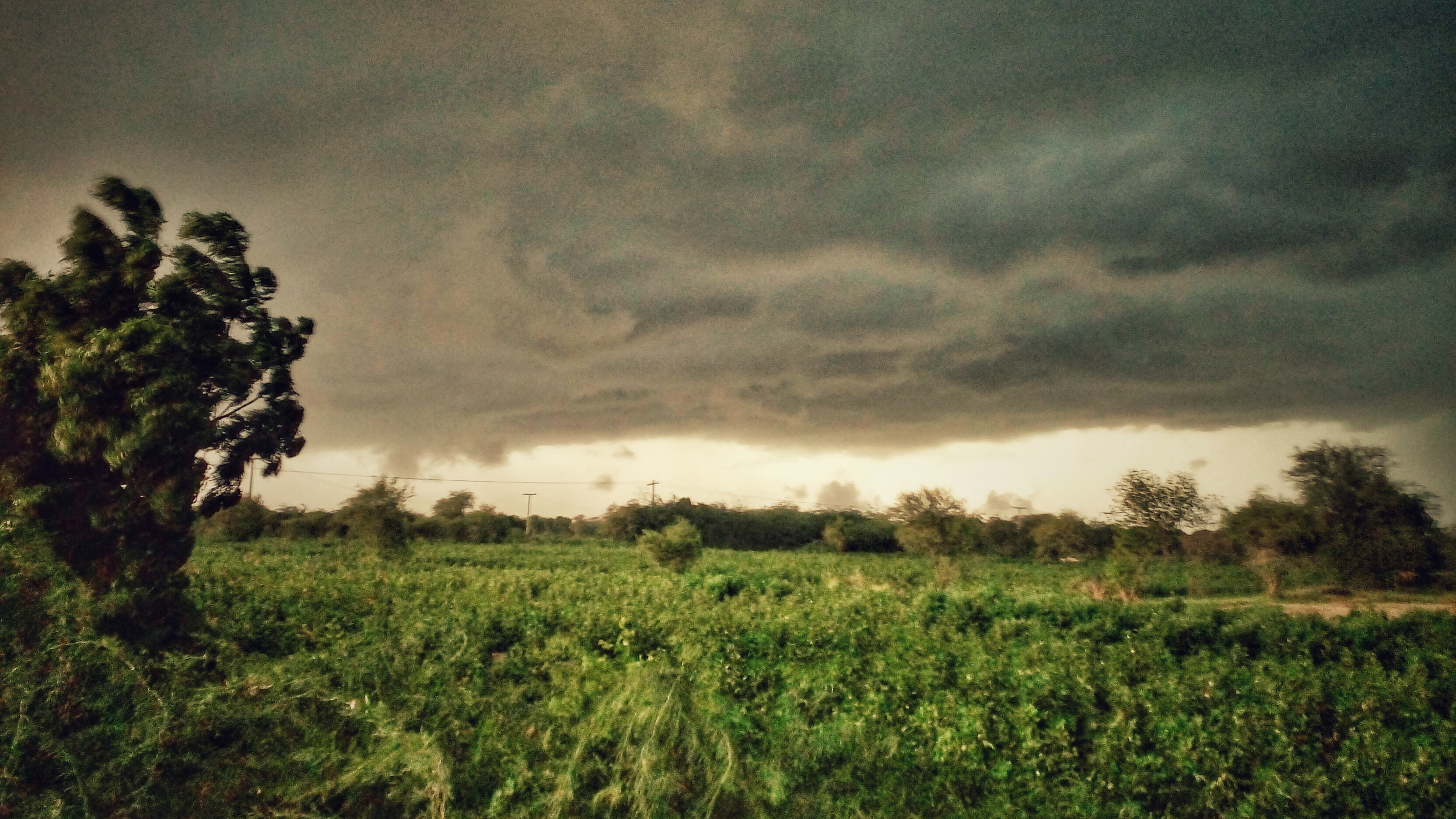
Just Before The Rain
#garden #grass #greenary #sky
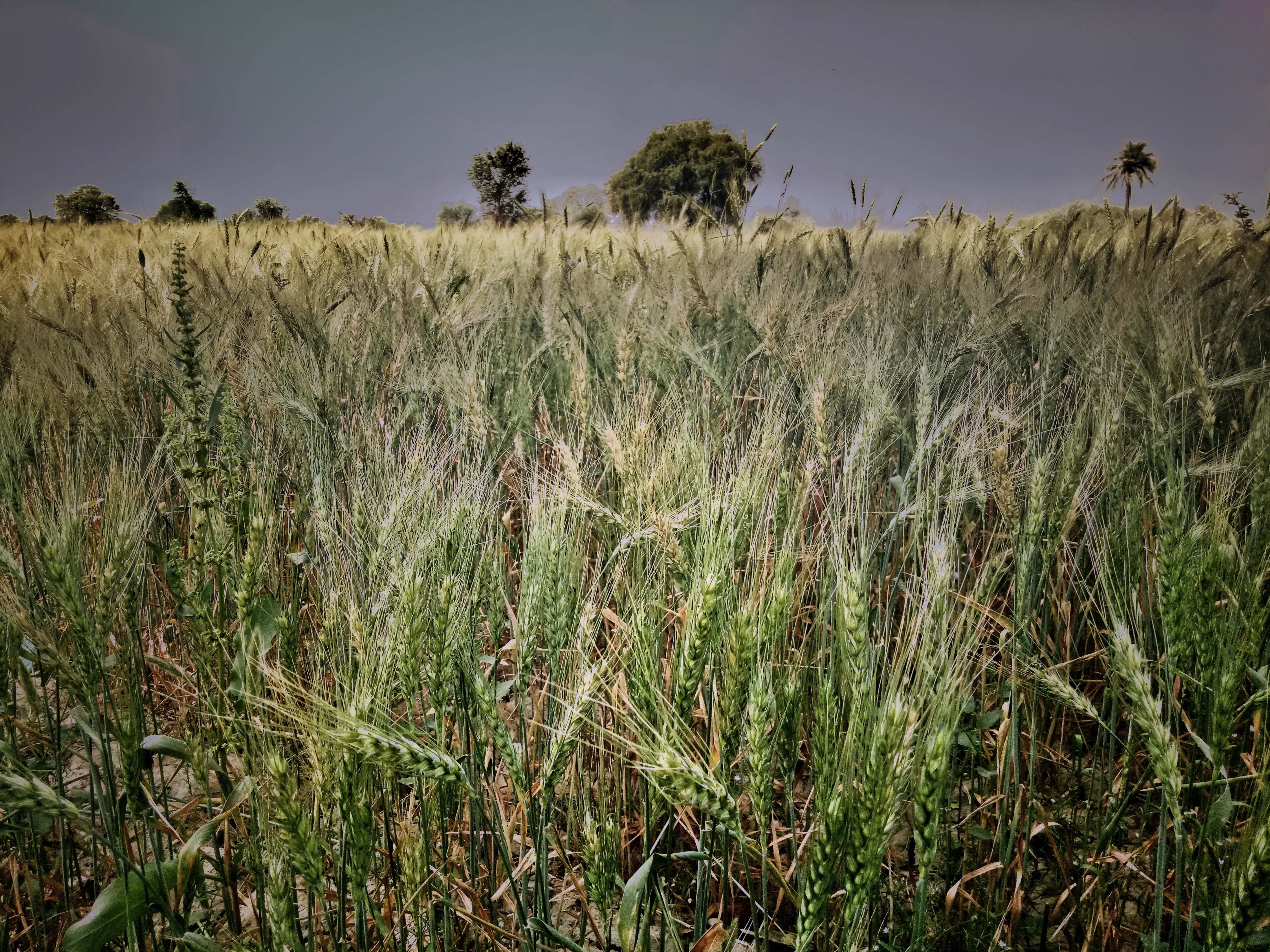
Wheat 's Field #umerkot
پنھور ہوٹل Panhwar #Hotel Umerkot. Sindh
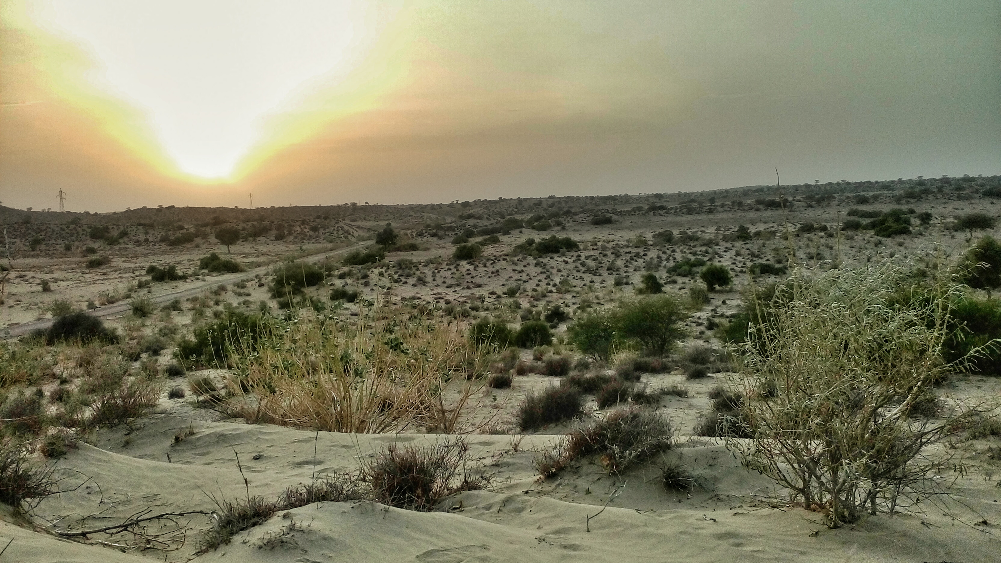
Sunset at Evening Time
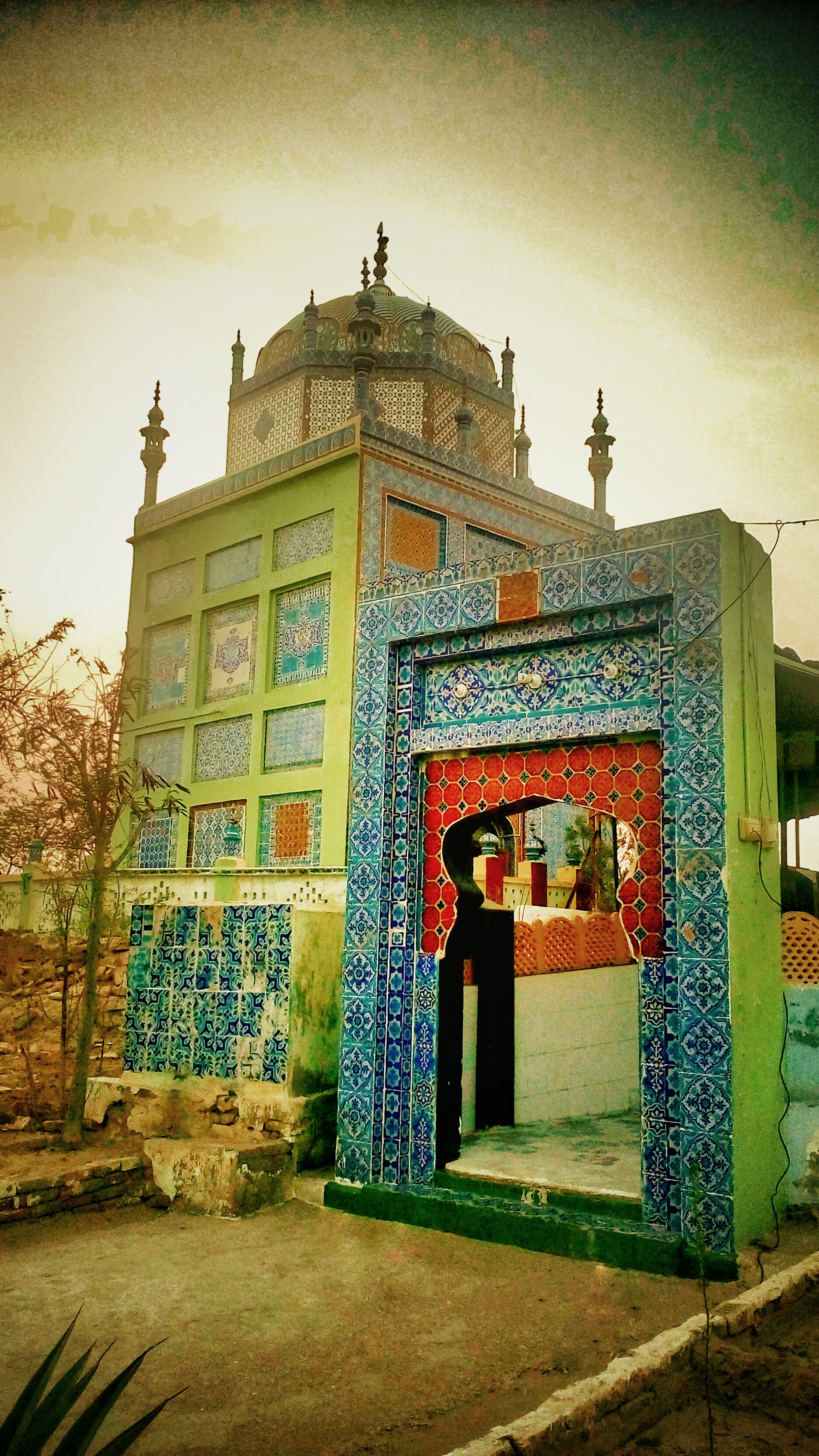
درگاہ نمانا شاہ، عمرکوٹ
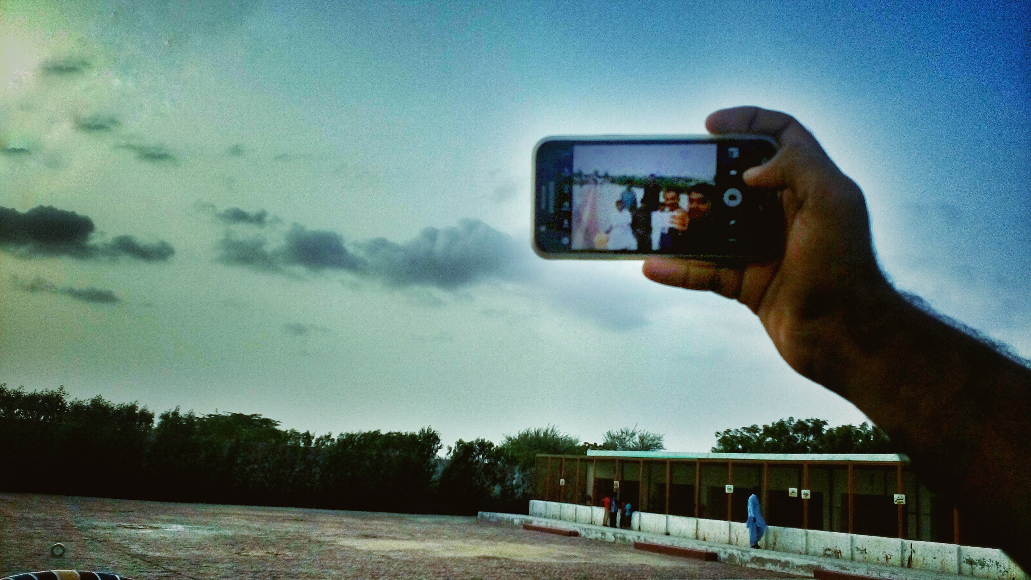
سیلفی لیتے وقت موبائل کی تصویر
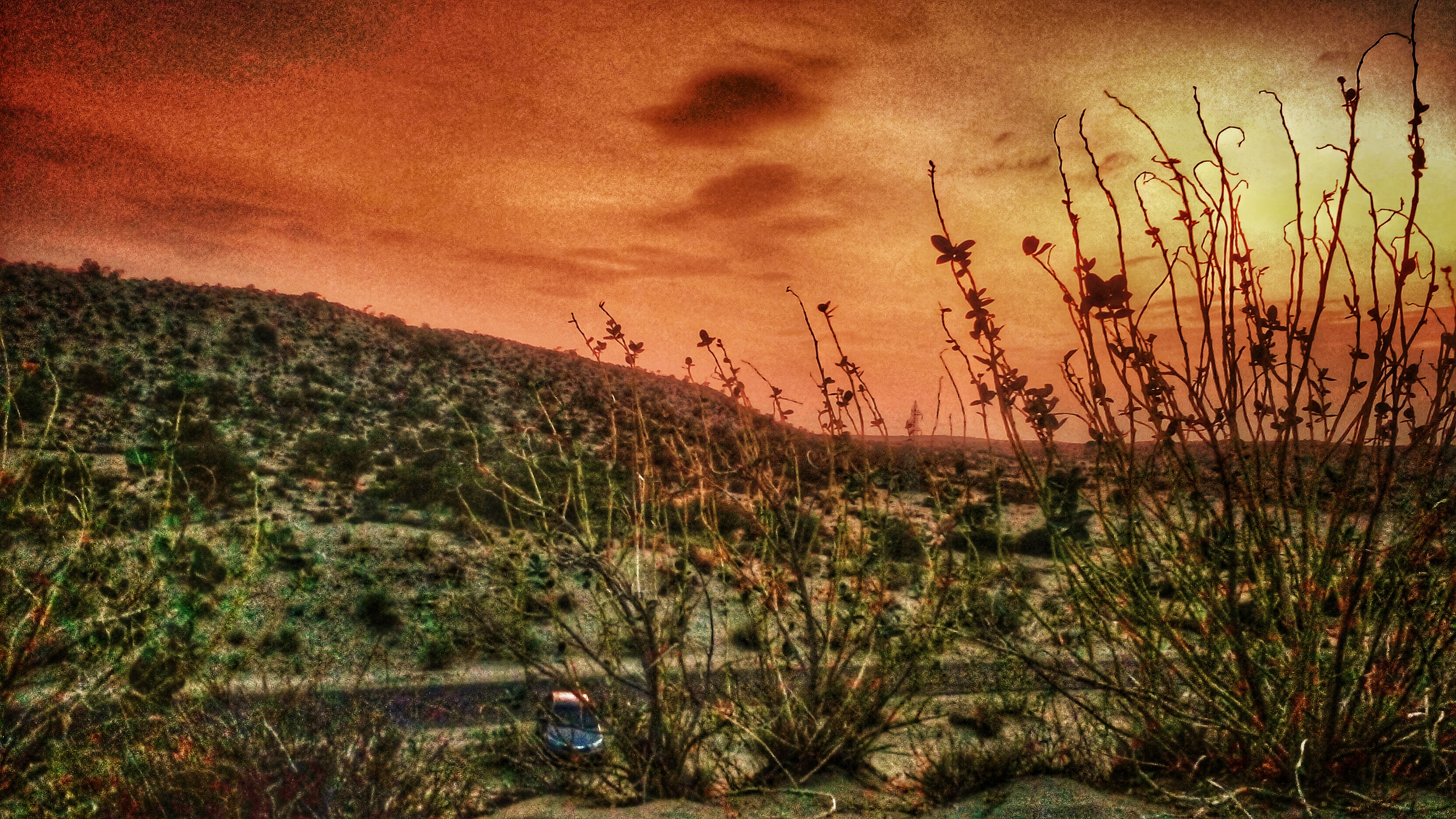
شام اور ریگستان
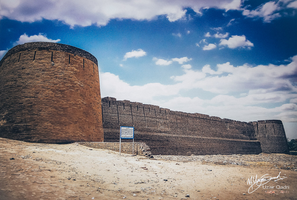
Umarkot Fort

Dialogue with Women group
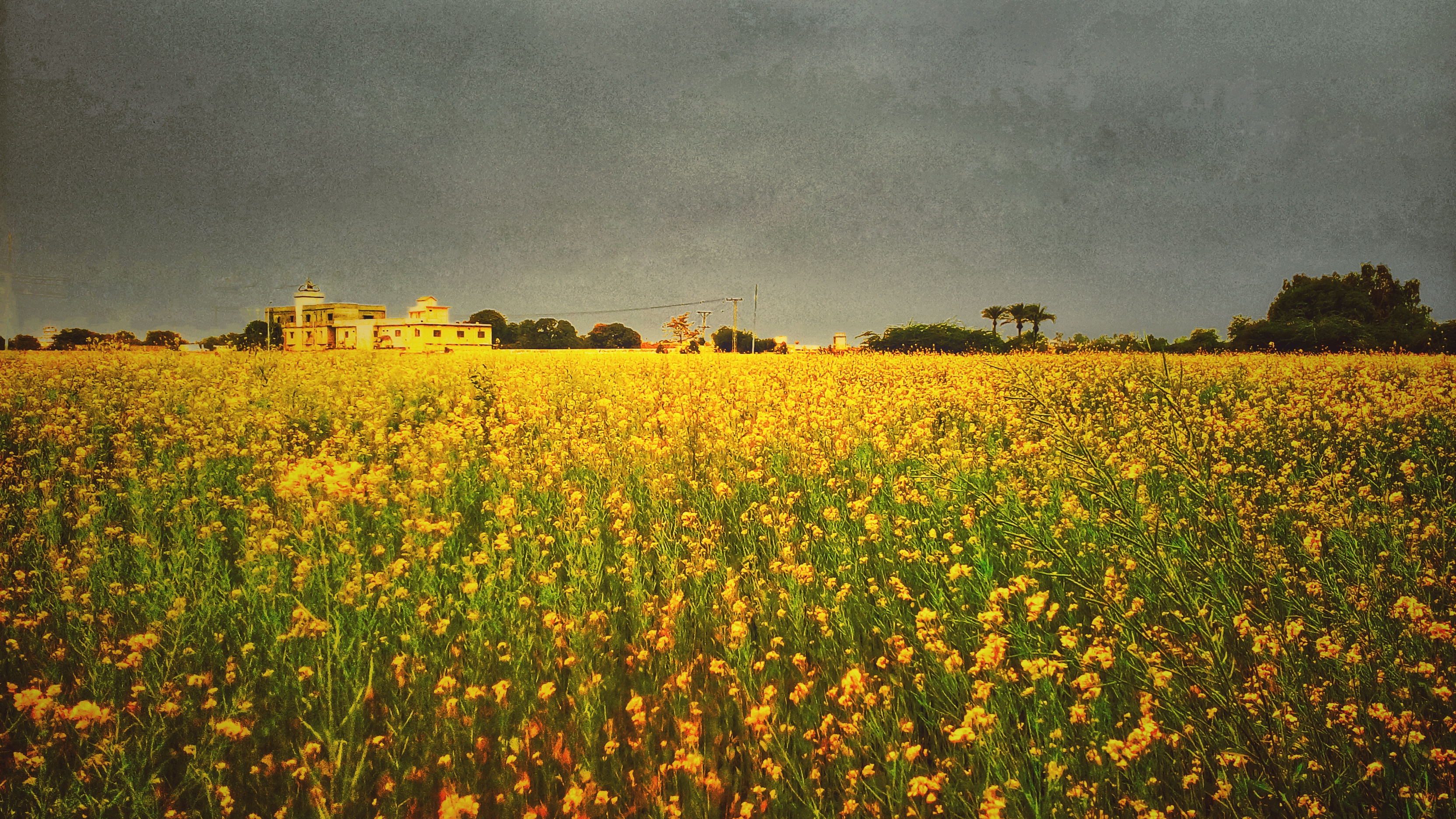
سرسوں

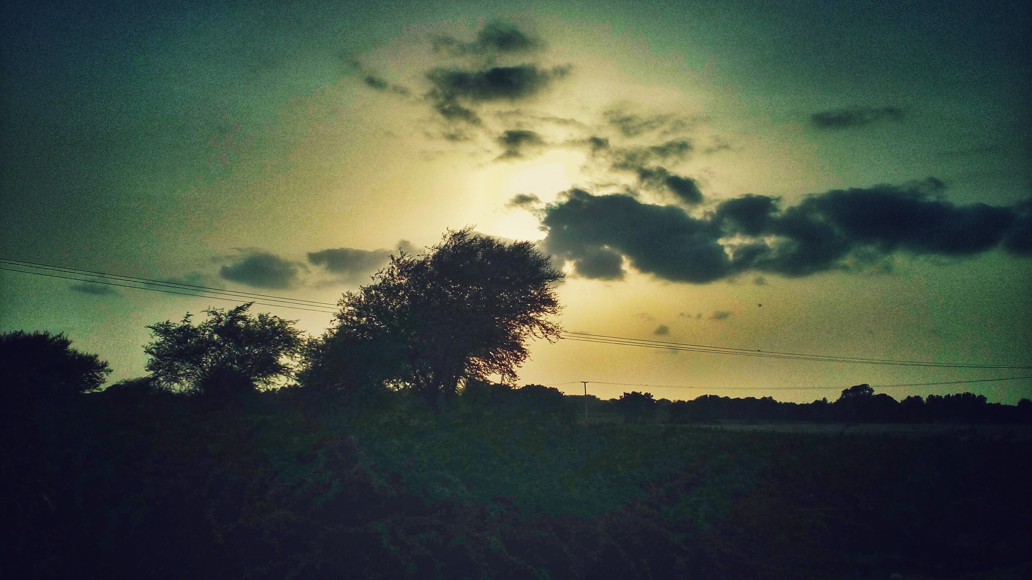
Sunset in Umerkot.
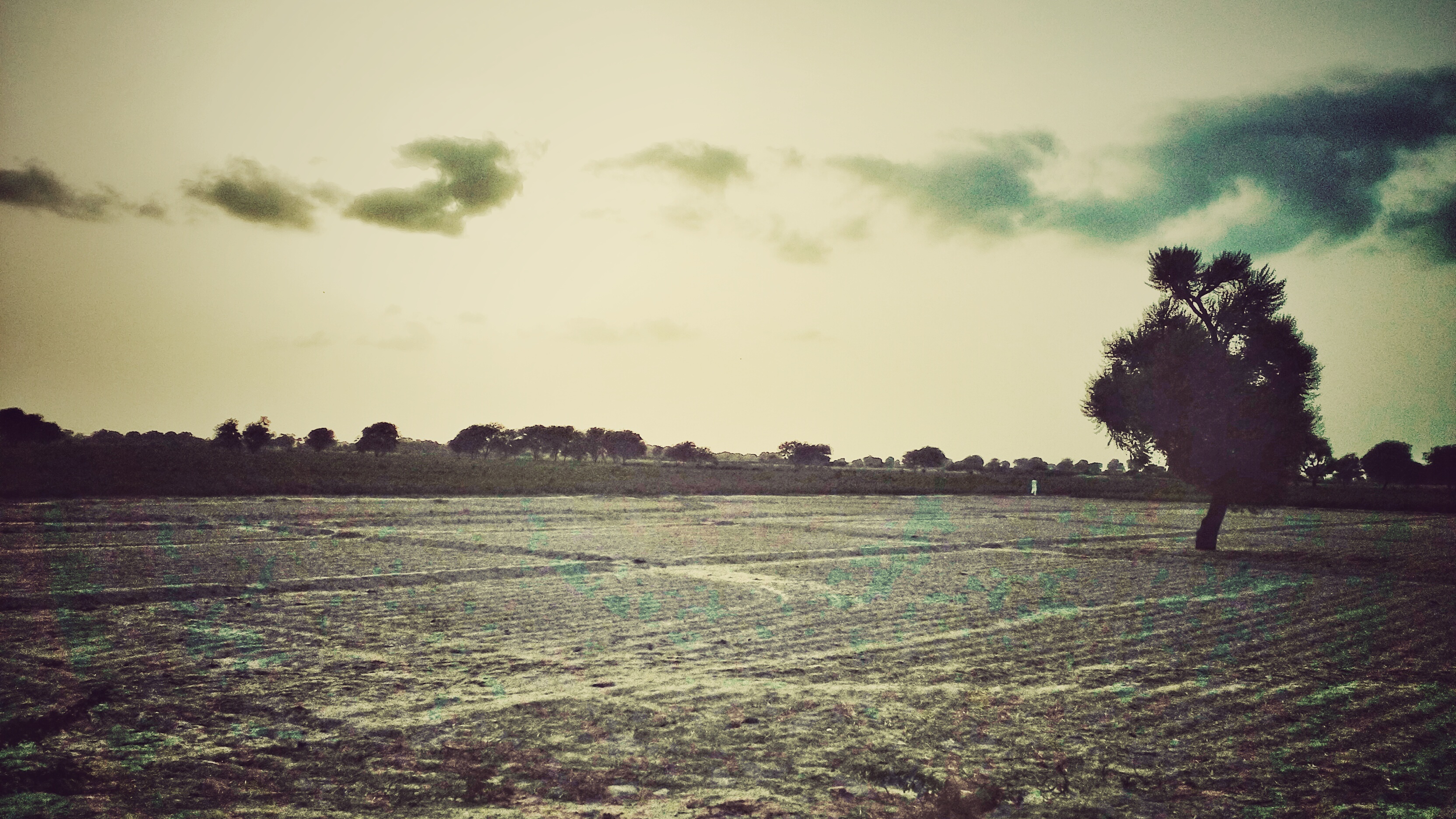
Tree, cloud and evening
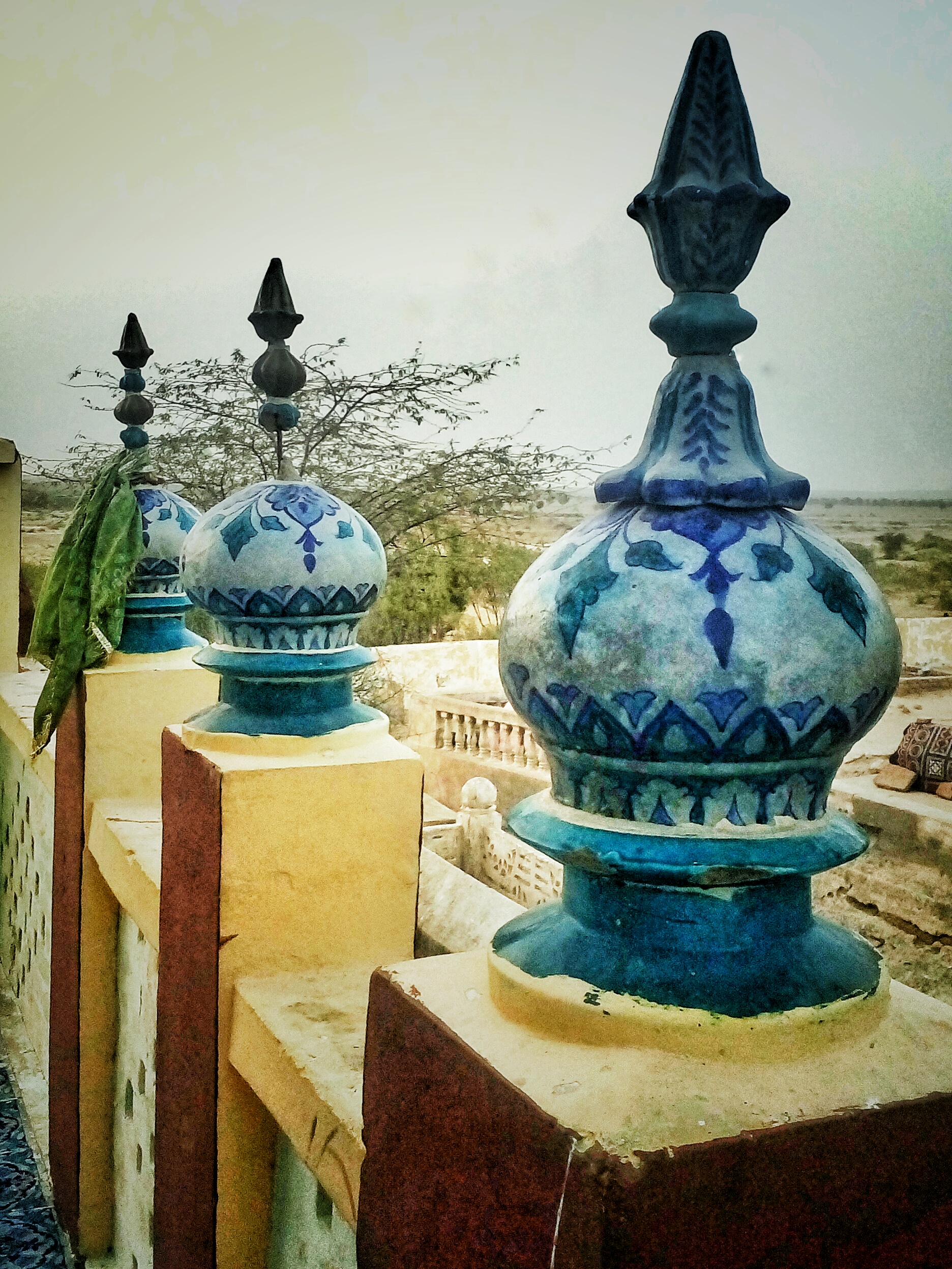
درگاہ نمانا شاہ کے صحن/راہداری میں لگے ہوئے چھوٹے مینارے
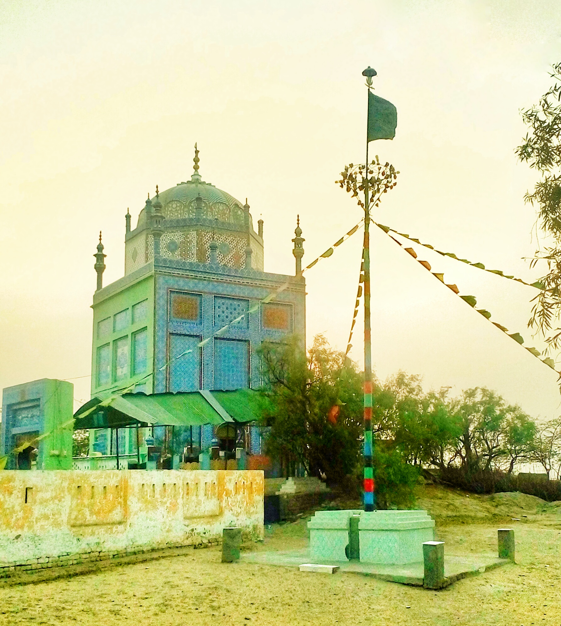
درگاہ نمانا شاہ کا ایک منظر

The 'selfie' disease hasn't quite spread here yet.

درگاہ نمانا شاہ، عمرکوٹ
Topographic Map of Umarkot, Umerkot, Sindh, Pakistan
Find elevation by address:

Places in Umarkot, Umerkot, Sindh, Pakistan:
Places near Umarkot, Umerkot, Sindh, Pakistan:
Qila Road
Nagori Travels Pvt Ltd.
Chor
Naya Chor
Kalankar Lake Dhoronaro
Dhoronāro
Umerkot
Umerkot
Pithoro
Shadi Palli
Sanghar
Khokhropar
Mirpur Khas
Chittori Graveyard
Mirpur Khas Airport
Mīrpur Khās
Abdul Qadir Narejo
Sanghar
Haruntharri
Chotiari Reservoir
Recent Searches:
- Elevation of Corso Fratelli Cairoli, 35, Macerata MC, Italy
- Elevation of Tallevast Rd, Sarasota, FL, USA
- Elevation of 4th St E, Sonoma, CA, USA
- Elevation of Black Hollow Rd, Pennsdale, PA, USA
- Elevation of Oakland Ave, Williamsport, PA, USA
- Elevation of Pedrógão Grande, Portugal
- Elevation of Klee Dr, Martinsburg, WV, USA
- Elevation of Via Roma, Pieranica CR, Italy
- Elevation of Tavkvetili Mountain, Georgia
- Elevation of Hartfords Bluff Cir, Mt Pleasant, SC, USA