Elevation of Uljin-gun, Gyeongsangbuk-do, South Korea
Location: South Korea > Gyeongsangbuk-do >
Longitude: 129.400419
Latitude: 36.9930661
Elevation: 15m / 49feet
Barometric Pressure: 101KPa
Elevation Map:
Satellite Map:
Related Photos:

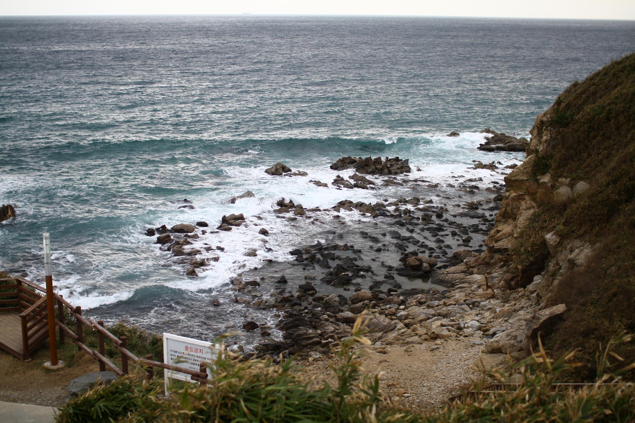
Phantom View
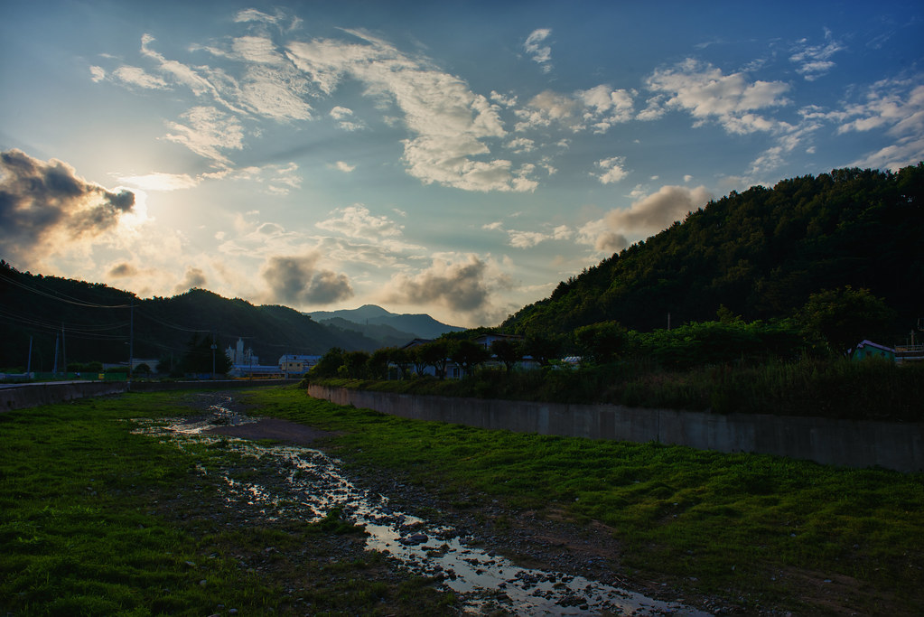
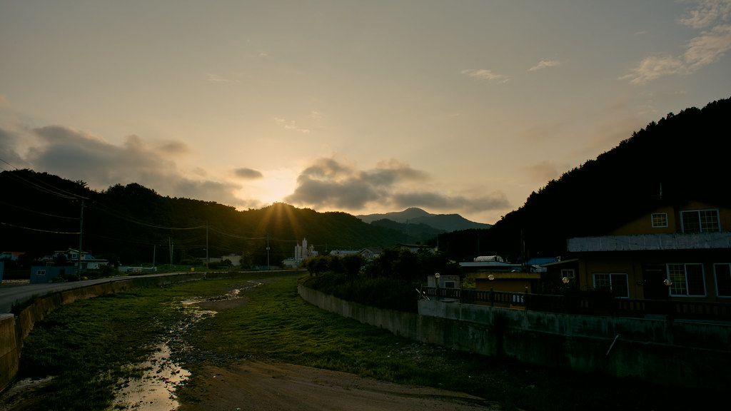
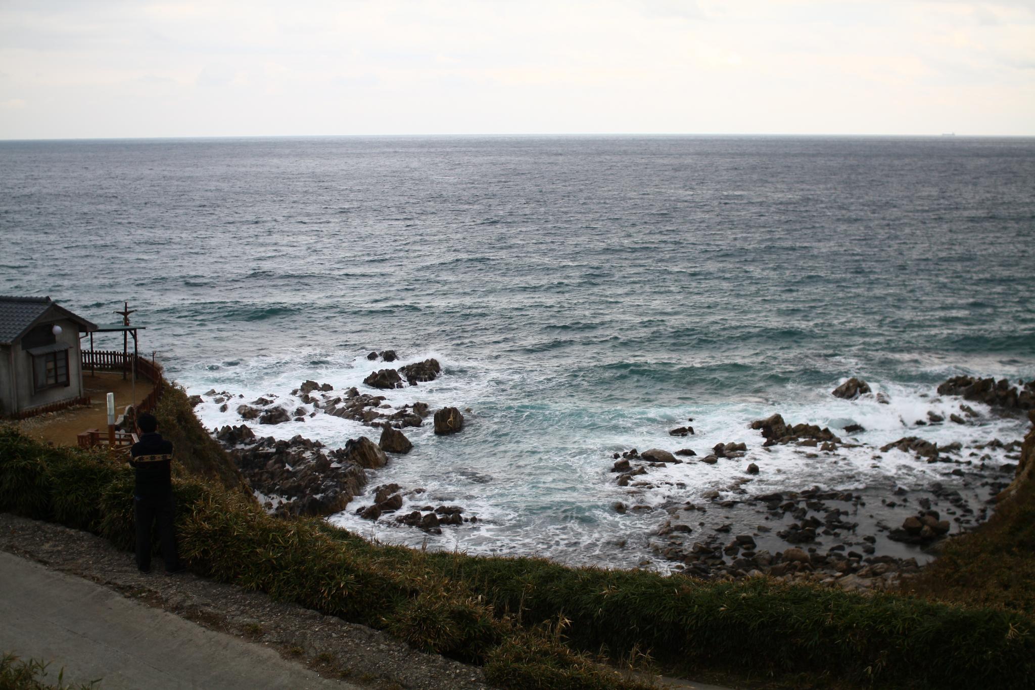
Uljin Sunset
Uljin 1
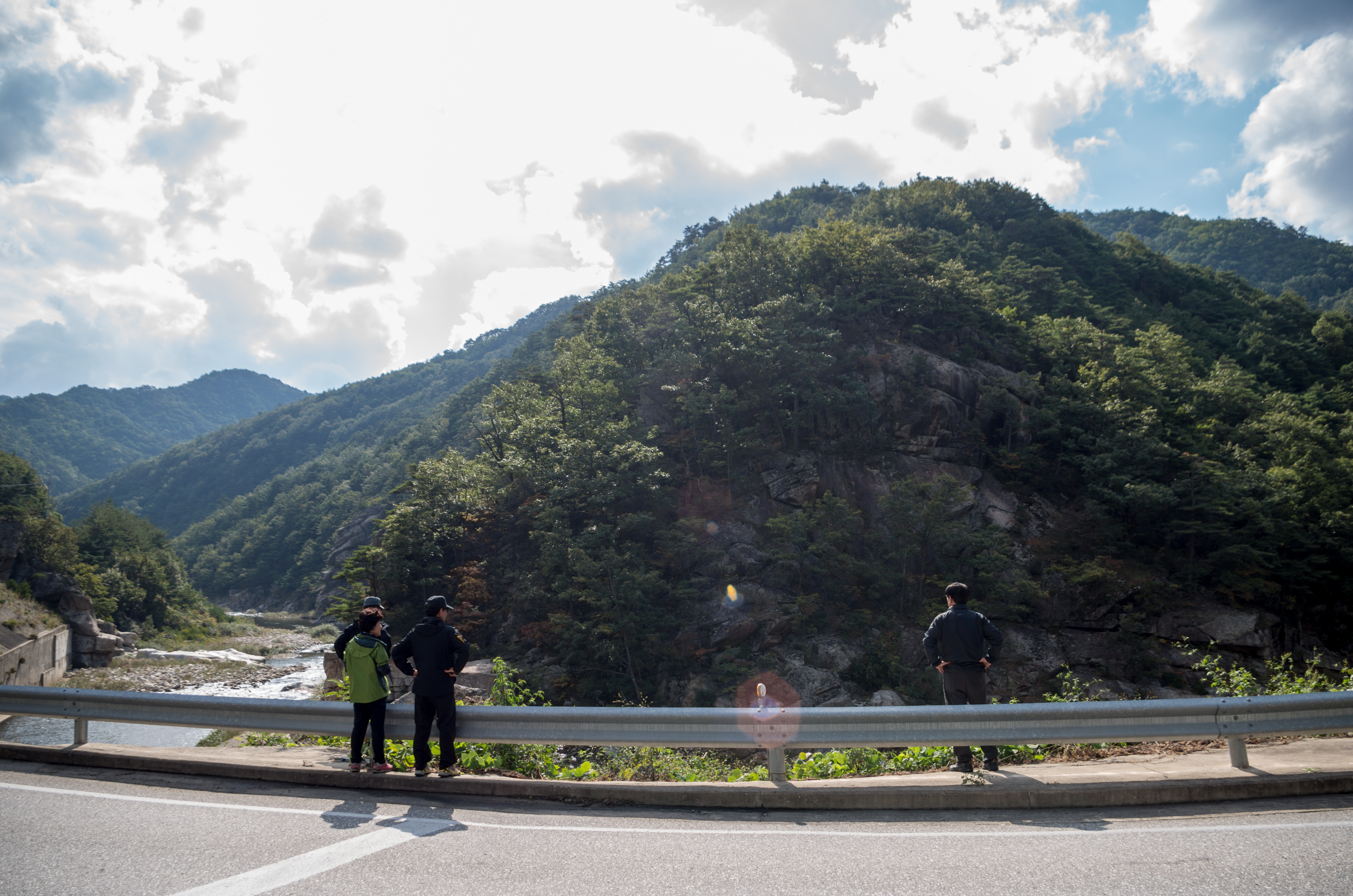
2011 마무리 여행
Uljin-Eup, Gyeongsangbuk-Do, South Korea
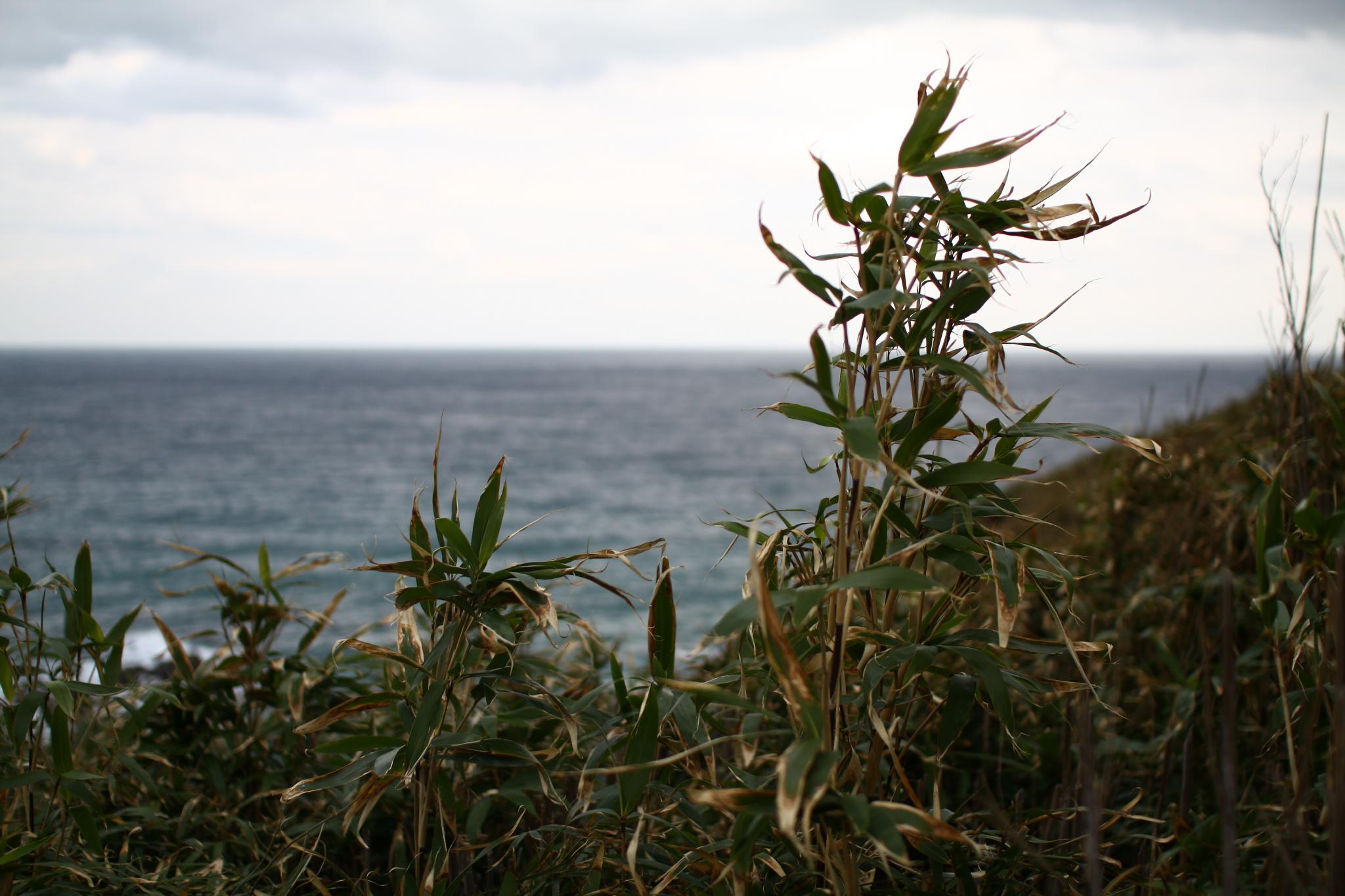
The way to Boolyoung-temple

The way to Boolyoung-temple
2011 마무리 여행
2011 마무리 여행
2011 마무리 여행

2011 마무리 여행

2011 마무리 여행
Topographic Map of Uljin-gun, Gyeongsangbuk-do, South Korea
Find elevation by address:

Places in Uljin-gun, Gyeongsangbuk-do, South Korea:
Places near Uljin-gun, Gyeongsangbuk-do, South Korea:
Recent Searches:
- Elevation of Corso Fratelli Cairoli, 35, Macerata MC, Italy
- Elevation of Tallevast Rd, Sarasota, FL, USA
- Elevation of 4th St E, Sonoma, CA, USA
- Elevation of Black Hollow Rd, Pennsdale, PA, USA
- Elevation of Oakland Ave, Williamsport, PA, USA
- Elevation of Pedrógão Grande, Portugal
- Elevation of Klee Dr, Martinsburg, WV, USA
- Elevation of Via Roma, Pieranica CR, Italy
- Elevation of Tavkvetili Mountain, Georgia
- Elevation of Hartfords Bluff Cir, Mt Pleasant, SC, USA