Elevation map of Udaipur, Rajasthan, India
Location: India > Rajasthan >
Longitude: 73.6536209
Latitude: 24.1980766
Elevation: 431m / 1414feet
Barometric Pressure: 96KPa
Elevation Map:
Satellite Map:
Related Photos:
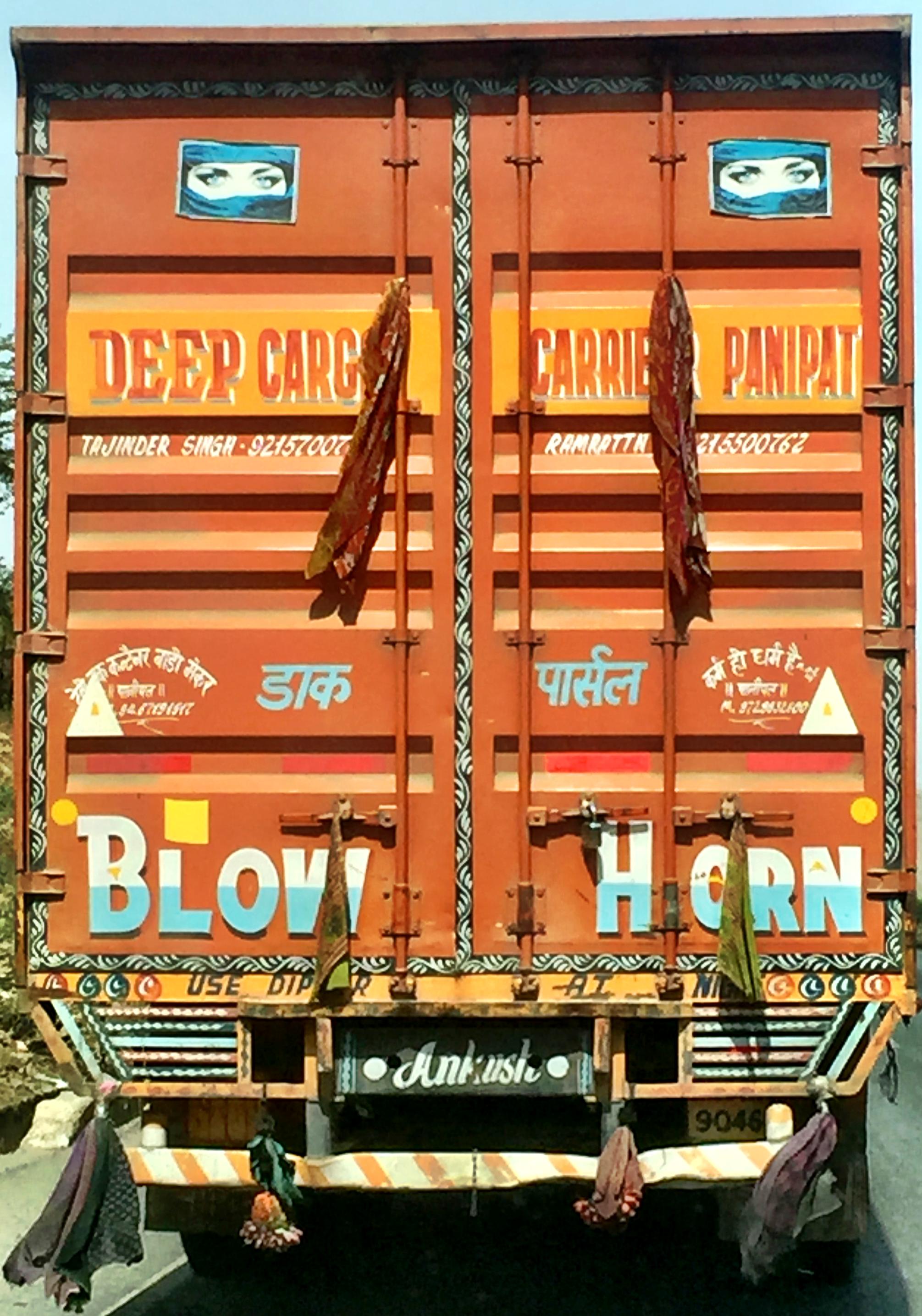
20150405_132856
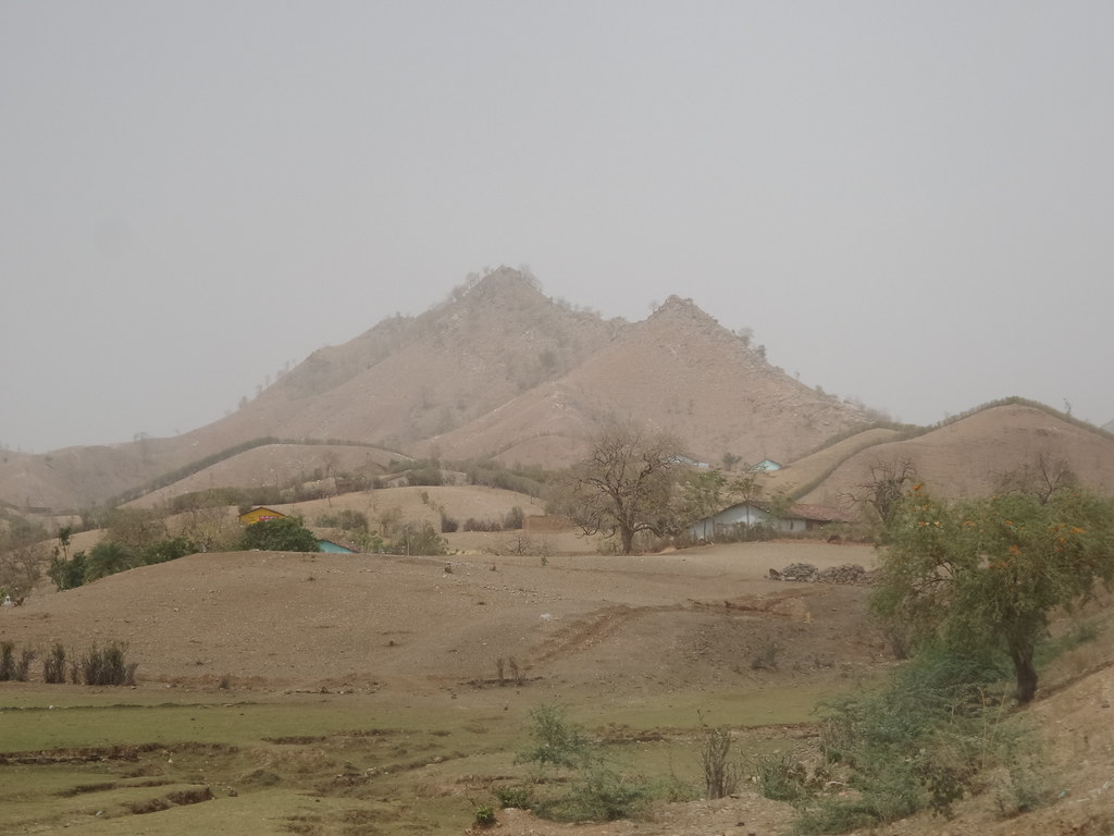
Rajasthan traffic

Rajasthan traffic

traffic issues
Topographic Map of Udaipur, Rajasthan, India
Find elevation by address:

Places in Udaipur, Rajasthan, India:
Places near Udaipur, Rajasthan, India:
Awarda
Balicha
Vijaynagar
Dudh Talai
Lake Pichola
Pichola
City Palace
Udaipur
Abhapur
Raas Devigarh
Delwara
Dungla
Bari Sadri
Nana
Rajsamand
Kapasan
Bhadesar
Rajsamand
Recent Searches:
- Elevation of Corso Fratelli Cairoli, 35, Macerata MC, Italy
- Elevation of Tallevast Rd, Sarasota, FL, USA
- Elevation of 4th St E, Sonoma, CA, USA
- Elevation of Black Hollow Rd, Pennsdale, PA, USA
- Elevation of Oakland Ave, Williamsport, PA, USA
- Elevation of Pedrógão Grande, Portugal
- Elevation of Klee Dr, Martinsburg, WV, USA
- Elevation of Via Roma, Pieranica CR, Italy
- Elevation of Tavkvetili Mountain, Georgia
- Elevation of Hartfords Bluff Cir, Mt Pleasant, SC, USA