Elevation of Uau Road, Uau Rd, Hawaiian Acres, HI, USA
Location: United States > Hawaii > Hawaii County > Pāhoa >
Longitude: -155.0349778
Latitude: 19.5012869
Elevation: 347m / 1138feet
Barometric Pressure: 0KPa
Related Photos:

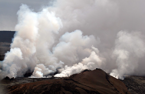
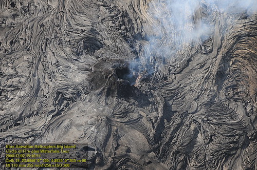
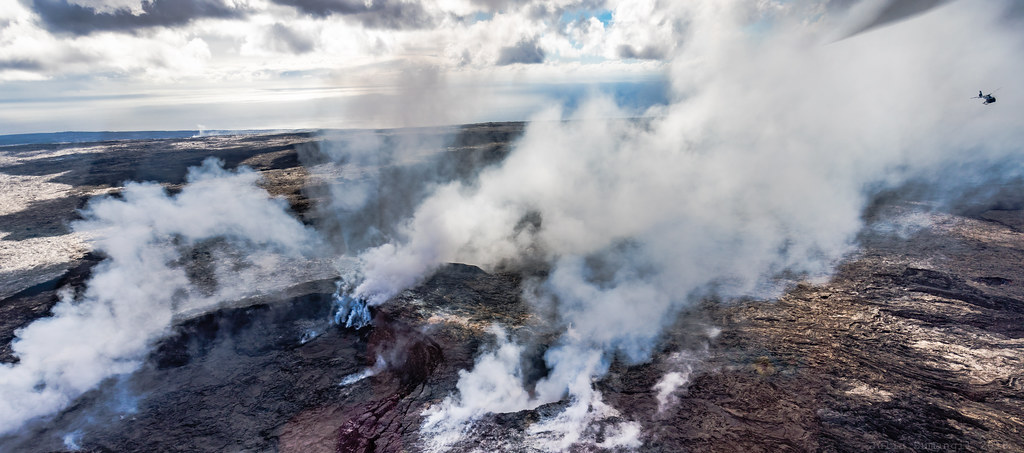
Napau Crater, Kalapana, Hawaii
Mount Kilauea Volcano 2560
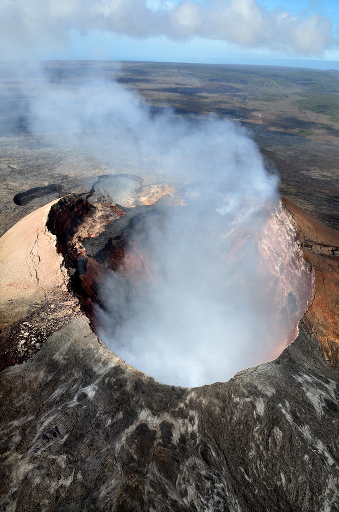
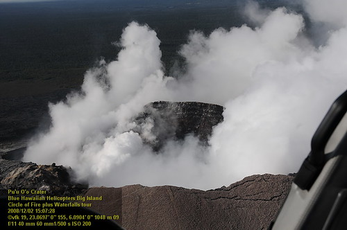
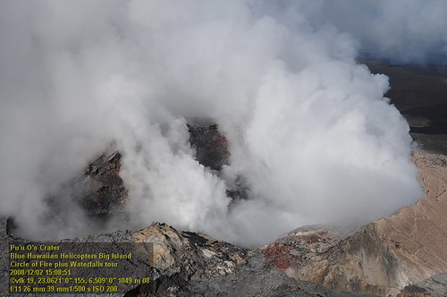
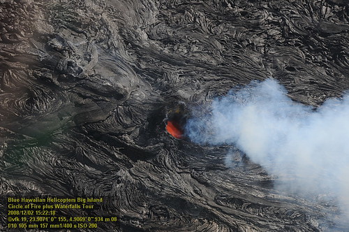
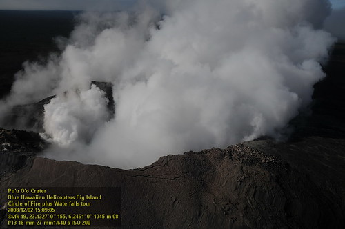
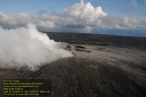
Pu'u Ō'ō Crater
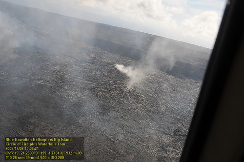
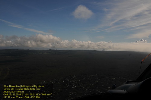
2006: Pahoa and Puna, Hawai'i - In the path of Kilauea Volcano lava
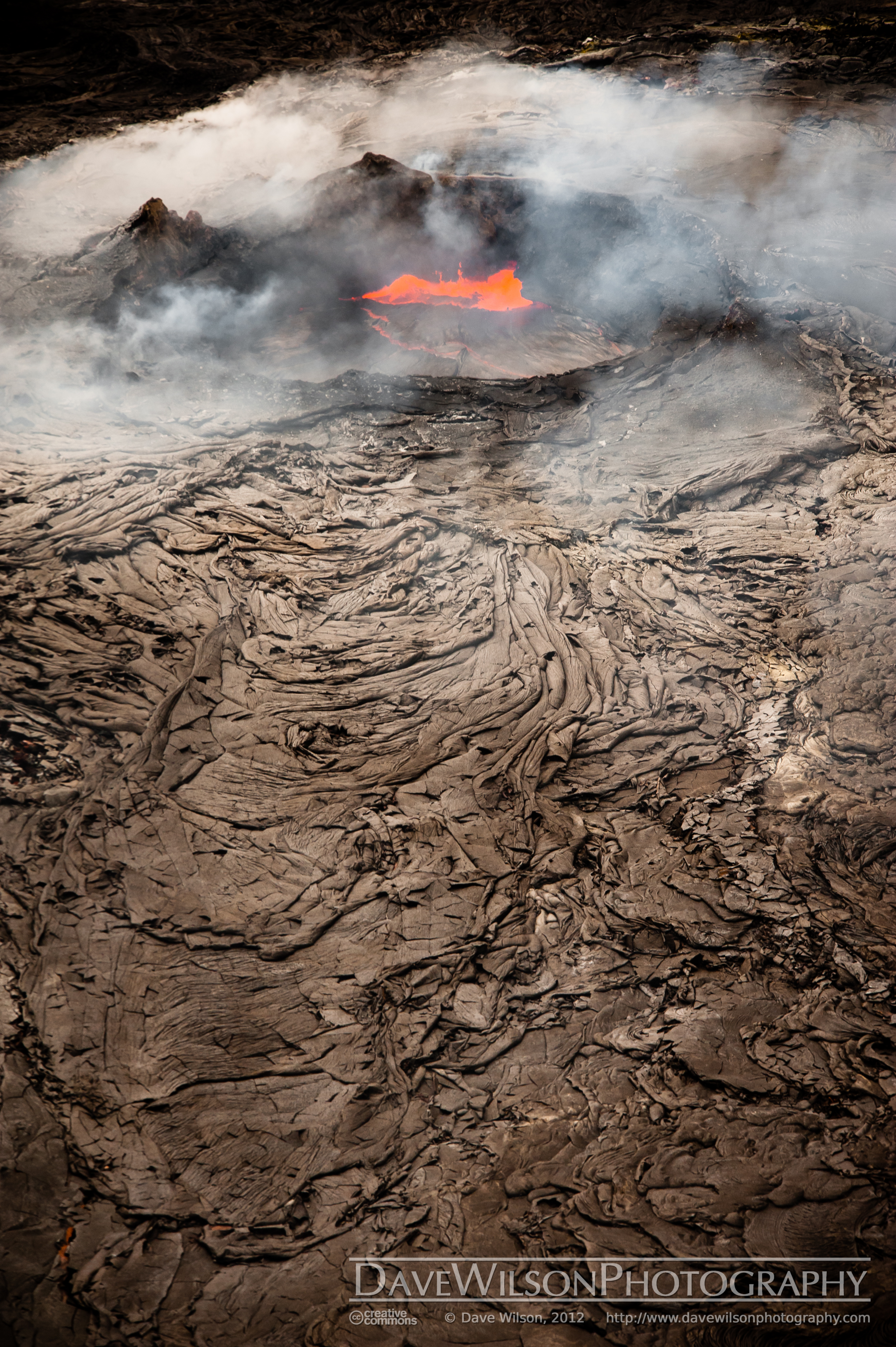
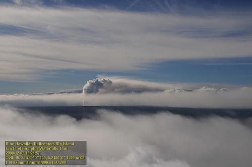
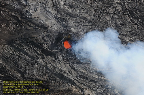
Kilauea Crater and Lava Flow

Palm Frond at dawn, Hawaii

Comet's Tail
HW7042VF2_4548 Pu'u O'o Crater.JPG

Sunup on a snowy Mauna Kea from Mountain View B&B, Hawaii
HW7428VF2_4929.JPG
HW7042VF2_4561 Pu'u O'o Crater.JPG
HW7035VF2_4536.JPG
HW7401VF2_4902.JPG
HW7042VF2_4564 Pu'u O'o Crater.JPG
HW7404VF2_4905.JPG
HW6981VF2_4482.JPG
HW7151VF2_4652.JPG

Mauna Kea in early morning light from Mountain View, Hawaii
HW7001VF2_4502.JPG
HW7042VF2_4555 Pu'u O'o Crater.JPG
HW7126VF2_4627.JPG
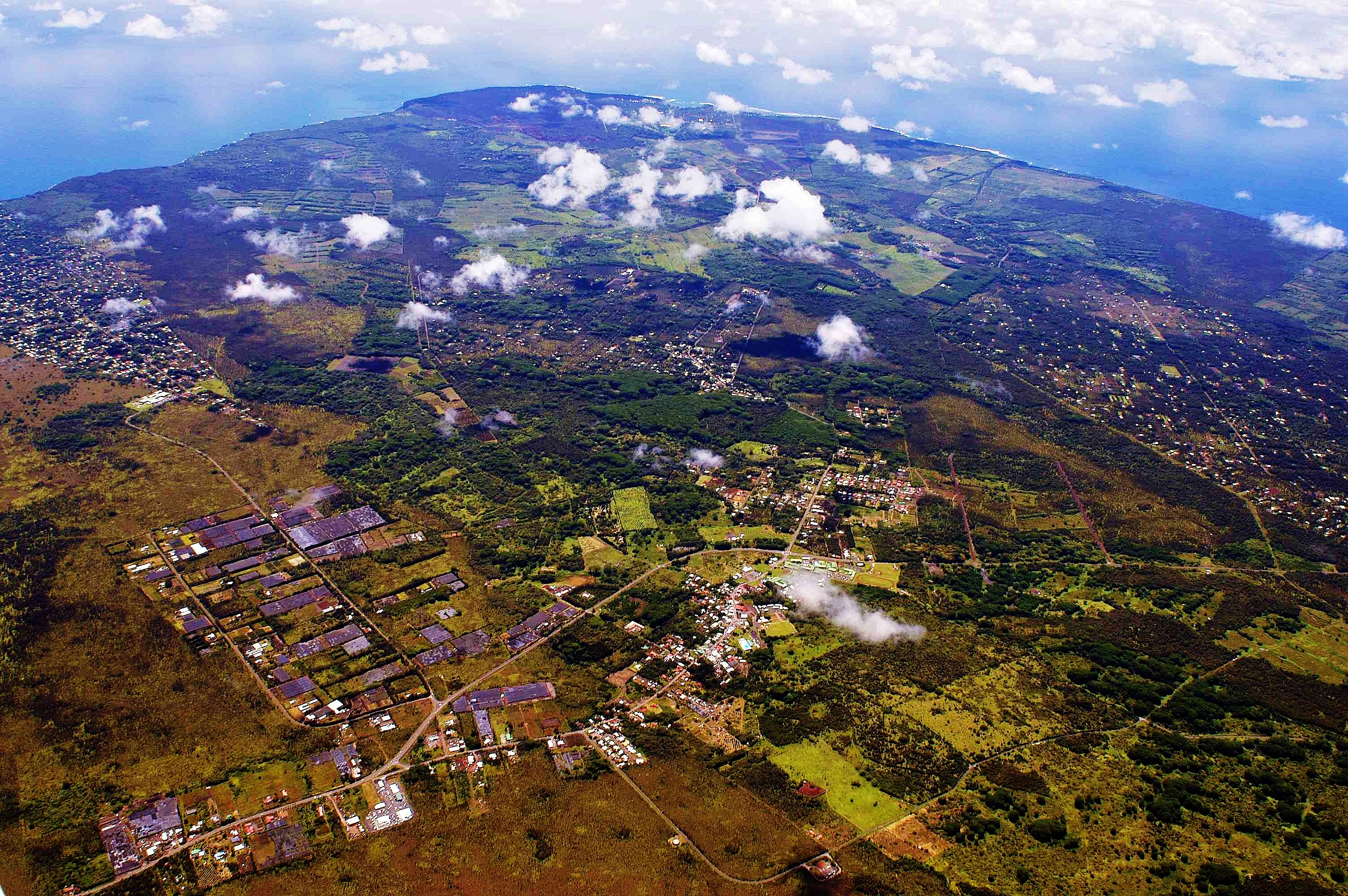
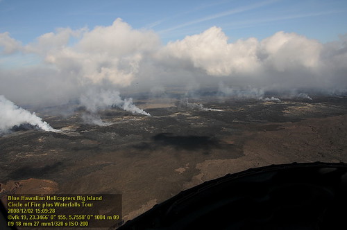
Big Island helicopter ride

Kilauea Hawaii Volcano - Fissure 8

Leilani Eruption
Topographic Map of Uau Road, Uau Rd, Hawaiian Acres, HI, USA
Find elevation by address:

Places near Uau Road, Uau Rd, Hawaiian Acres, HI, USA:
16-2168 Ooaa Rd
16-2137 Opeapea Rd
16-2196 Moho Rd
15-278 S Rd
15-1529 Rubbish Dump Rd
15-1361 Auina St
Pāhoa
Homestead Road
Kaleo's Bar & Grill
Pahoa Elementary School
13-3896 Ala'ili Rd
Ala'ili Road
13-3773 Ala'ili Rd
13-731 Leilani Ave
13-1187 Kahukai St
Kopoho Street
14-3310 Mayzee Rd
Mayzee Road
13-1139 Leilani Ave
Kapiolani Street
Recent Searches:
- Elevation map of Greenland, Greenland
- Elevation of Sullivan Hill, New York, New York, 10002, USA
- Elevation of Morehead Road, Withrow Downs, Charlotte, Mecklenburg County, North Carolina, 28262, USA
- Elevation of 2800, Morehead Road, Withrow Downs, Charlotte, Mecklenburg County, North Carolina, 28262, USA
- Elevation of Yangbi Yi Autonomous County, Yunnan, China
- Elevation of Pingpo, Yangbi Yi Autonomous County, Yunnan, China
- Elevation of Mount Malong, Pingpo, Yangbi Yi Autonomous County, Yunnan, China
- Elevation map of Yongping County, Yunnan, China
- Elevation of North 8th Street, Palatka, Putnam County, Florida, 32177, USA
- Elevation of 107, Big Apple Road, East Palatka, Putnam County, Florida, 32131, USA
- Elevation of Jiezi, Chongzhou City, Sichuan, China
- Elevation of Chongzhou City, Sichuan, China
- Elevation of Huaiyuan, Chongzhou City, Sichuan, China
- Elevation of Qingxia, Chengdu, Sichuan, China
- Elevation of Corso Fratelli Cairoli, 35, Macerata MC, Italy
- Elevation of Tallevast Rd, Sarasota, FL, USA
- Elevation of 4th St E, Sonoma, CA, USA
- Elevation of Black Hollow Rd, Pennsdale, PA, USA
- Elevation of Oakland Ave, Williamsport, PA, USA
- Elevation of Pedrógão Grande, Portugal