Elevation of U.S. Scenic, US- Scenic, Mexican Hat, UT, USA
Location: United States > Utah > San Juan County > Mexican Hat >
Longitude: -109.86006
Latitude: 37.1736781
Elevation: 1310m / 4298feet
Barometric Pressure: 87KPa
Elevation Map:
Satellite Map:
Related Photos:

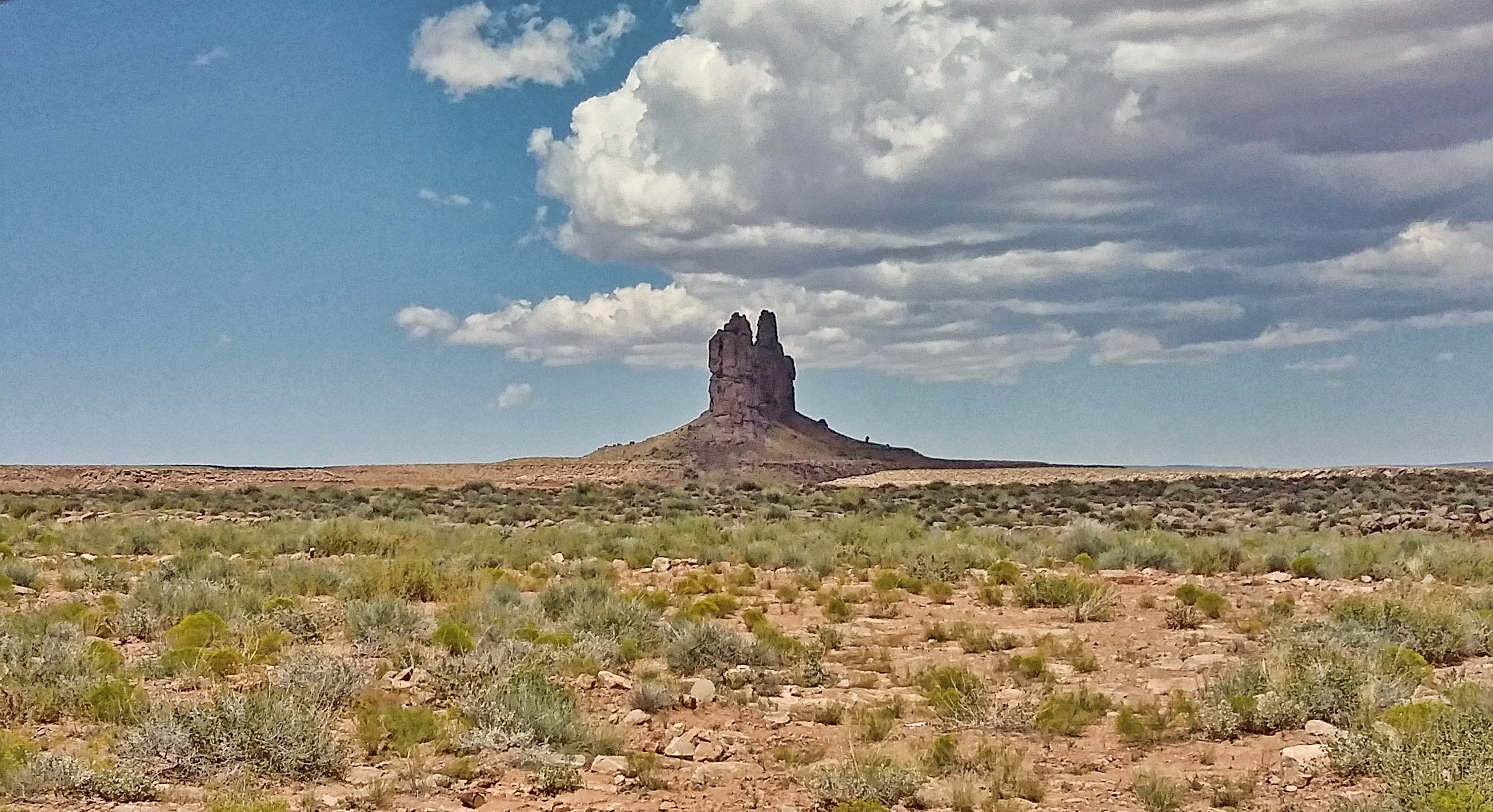
The Mexican Hat

*Muley Point @ pulling thunderstorm over Goosenecks State Park*

*Muley Point @ Storm over Monument Valley*

At Forrest Gump Point

Water Resources

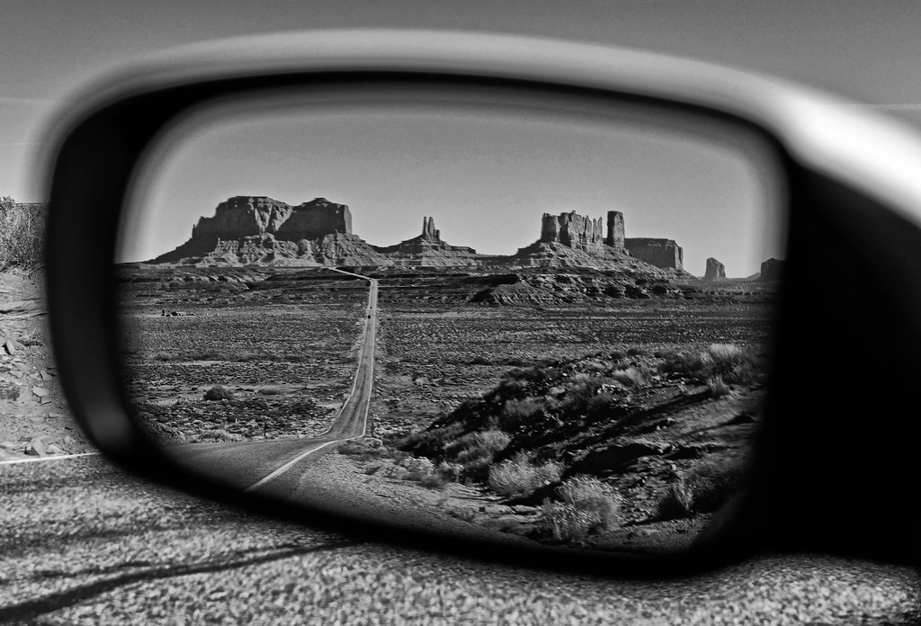
Monument Valley view

MOKI DUGWAY - près de Valley of the Gods

US 163

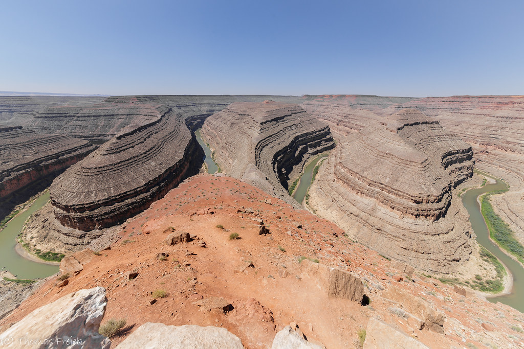
San Juan Goosenecks

Road Trip

Panorama of Goosenecks of the San Juan River at Utah's Gooseneck State Park

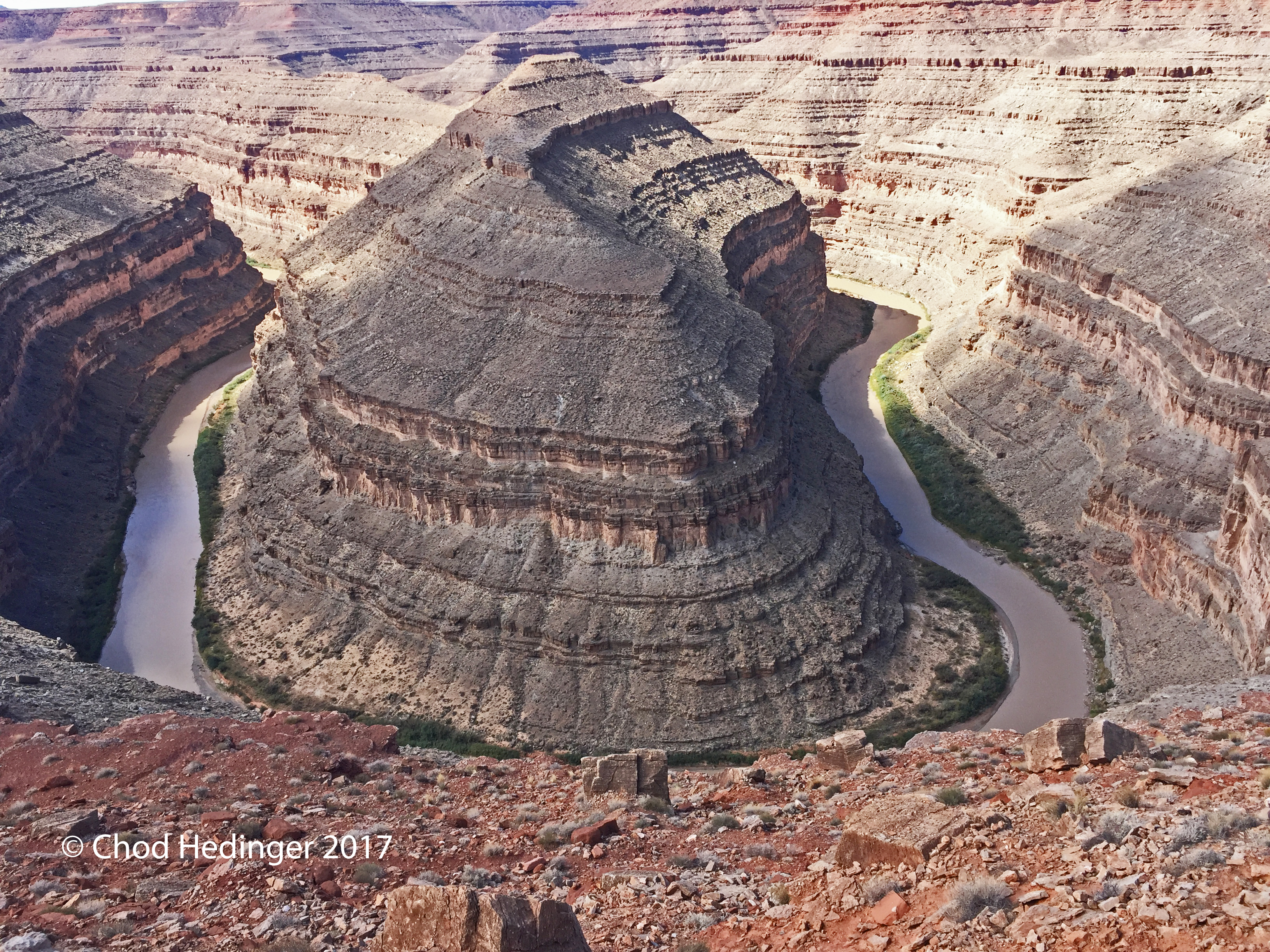
Gooseneck Canyon

Valley of the Gods. Night view..

San Juan River & Steel Arch Bridge, Mexican Hat, Utah, USA
Road to My Past

Gooseneck of the San Juan River at Utah's Gooseneck State Park
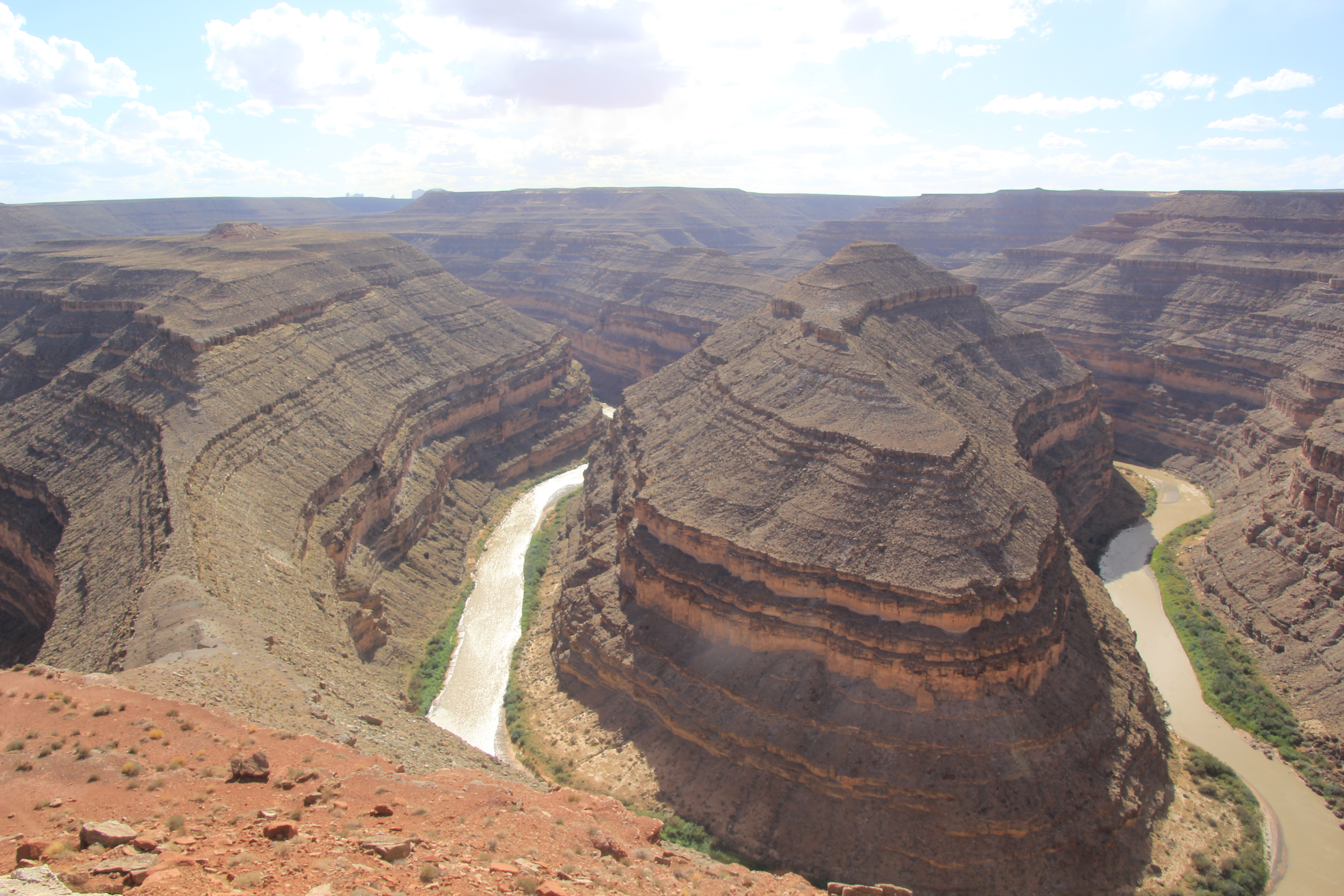
Goosenecks State Park

San Juan River and its gooseneck, Utah

The Goosenecks, Utah

One For The Road
Gooseneck State Park, Utah.

Gooseneck Canyon, Utah, USA.
Gooseneck Canyon, Utah, USA.

Weird Mexican Hat rock, Utah, USA
BETTER ALONE THAN IN BAD COMPANY
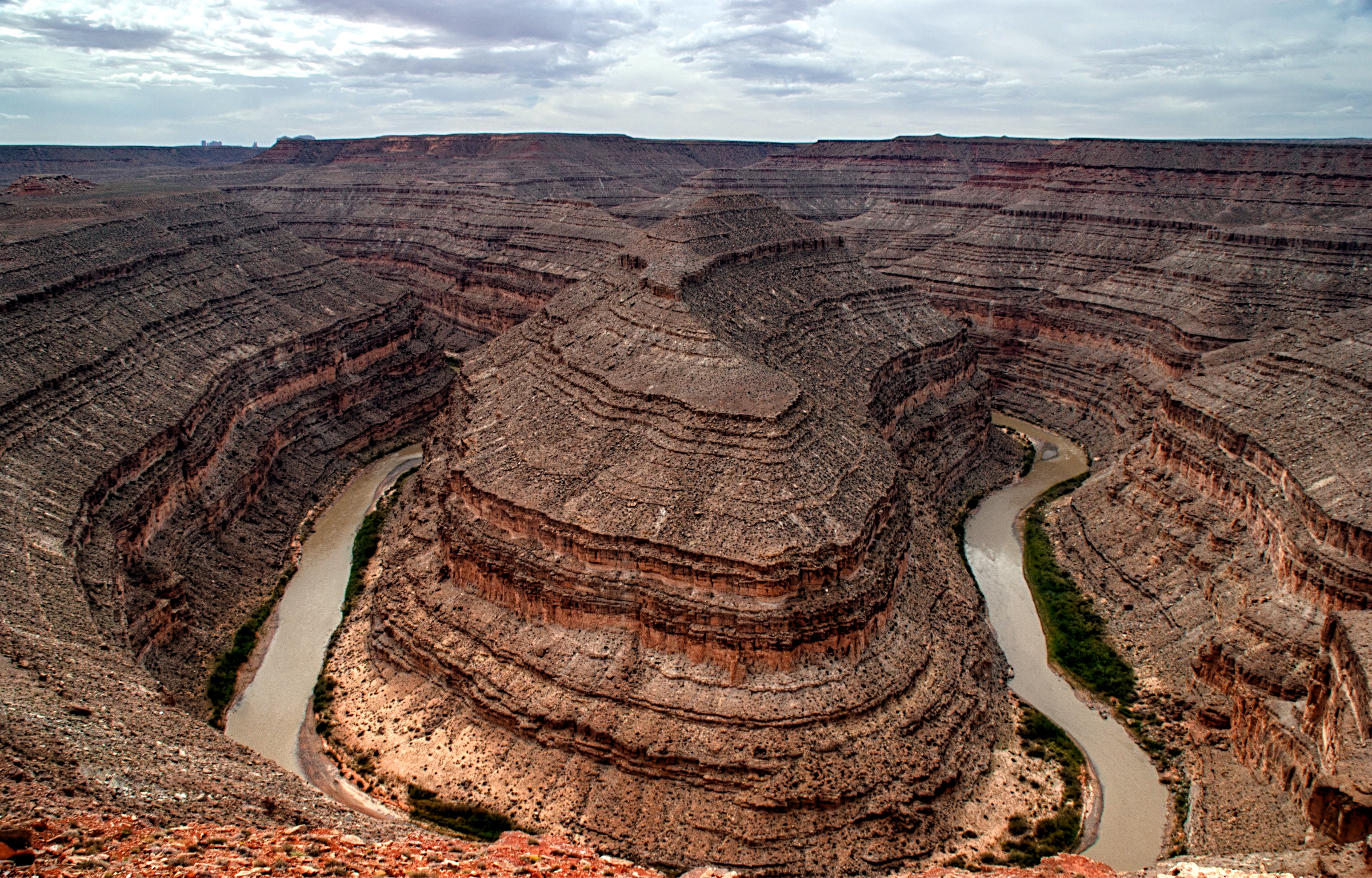
Gooseneck meander, Utah

Valley of the Gods

Light on the Gods

The road thru the Valley of the Gods

Valley of the Gods, Utah

San Juan River

Duck Duck Gooseneck

The Goosenecks

Geminid meteor shower, 2018

SHOW ME THE WAY TO GO HOME

Moki Dugway, Utah

THE VALLEY
Topographic Map of U.S. Scenic, US- Scenic, Mexican Hat, UT, USA
Find elevation by address:

Places near U.S. Scenic, US- Scenic, Mexican Hat, UT, USA:
Mexican Hat
Goosenecks State Park
Moki Dugway
Moki Dugway
Forrest Gump Point
Utah 261
Colorado Plateau
Monument Pass
Spearhead Mesa
West And East Mitten Buttes
Monument Valley
San Juan County
Wildcat Trail
John Ford Point
Monument Valley Navajo Tribal Park Visitor Center
The View Hotel
Oljato-monument Valley
Oljato-Monument Valley, UT, USA
Goulding
Oljato-monument Valley
Recent Searches:
- Elevation of Corso Fratelli Cairoli, 35, Macerata MC, Italy
- Elevation of Tallevast Rd, Sarasota, FL, USA
- Elevation of 4th St E, Sonoma, CA, USA
- Elevation of Black Hollow Rd, Pennsdale, PA, USA
- Elevation of Oakland Ave, Williamsport, PA, USA
- Elevation of Pedrógão Grande, Portugal
- Elevation of Klee Dr, Martinsburg, WV, USA
- Elevation of Via Roma, Pieranica CR, Italy
- Elevation of Tavkvetili Mountain, Georgia
- Elevation of Hartfords Bluff Cir, Mt Pleasant, SC, USA