Elevation of U.S. 69, US-69, United States
Location: United States > Oklahoma > Ottawa County > Miami >
Longitude: -94.927249
Latitude: 36.7724892
Elevation: 249m / 817feet
Barometric Pressure: 98KPa
Elevation Map:
Satellite Map:
Related Photos:
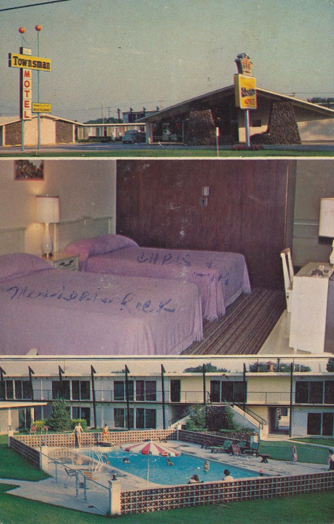
Townsman Motel - Miami, Oklahoma
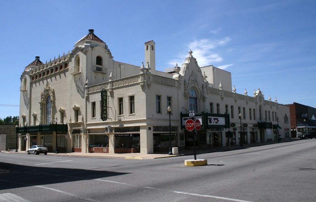
corner view of the coleman theater
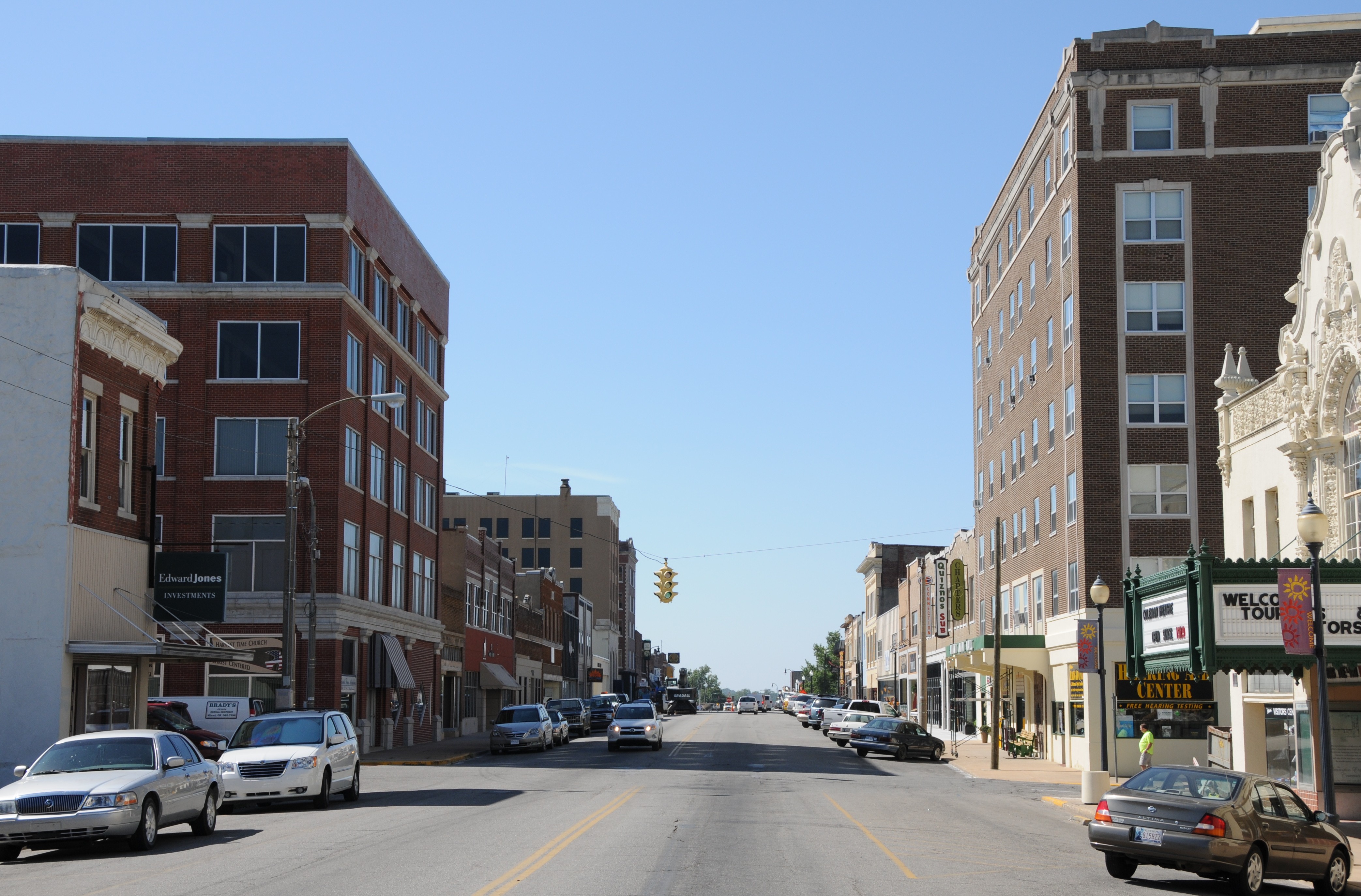
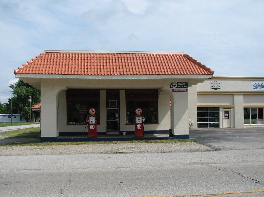
ROUTE66_0583 - MIAMI OK
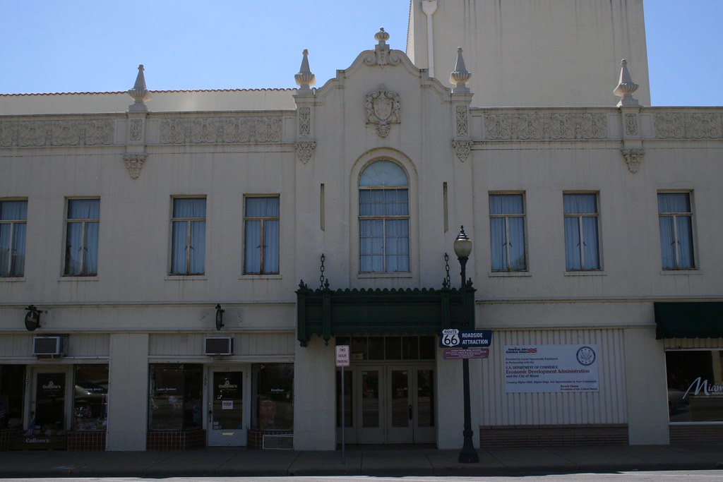
street view of coleman theater side entrance
Afton Station- Front View

Afton Station- Side View
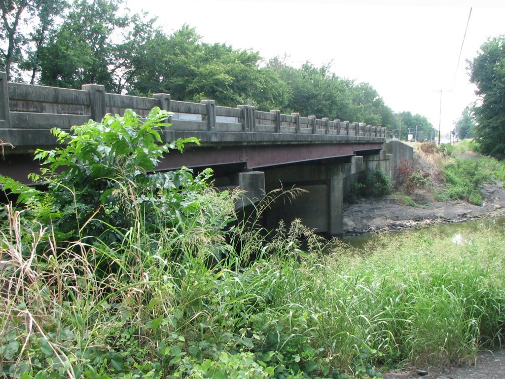
Side View: Horse Creek

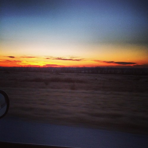
What a gorgeous Oklahoma sunset tonight. #sunsets #oklahoma
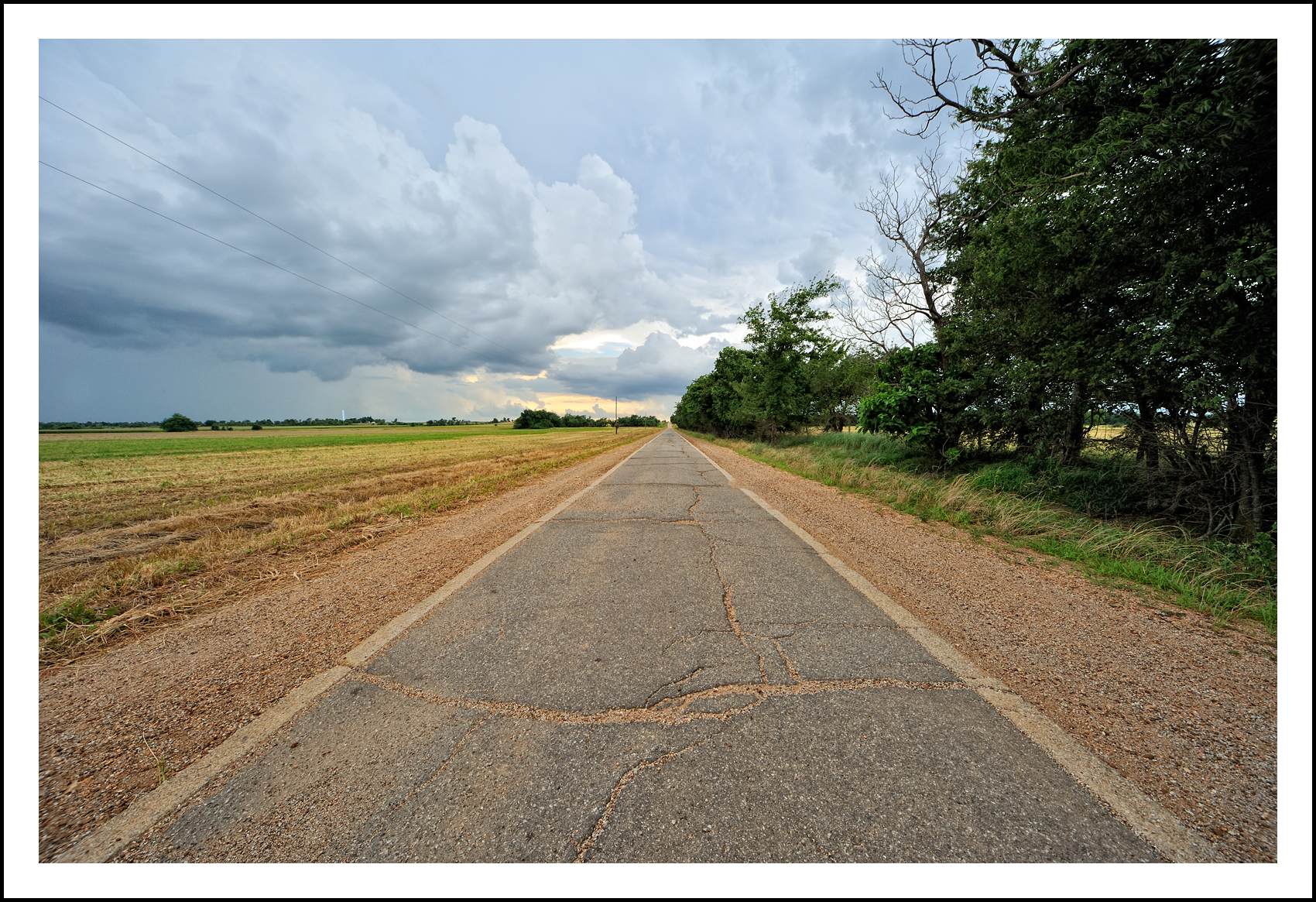
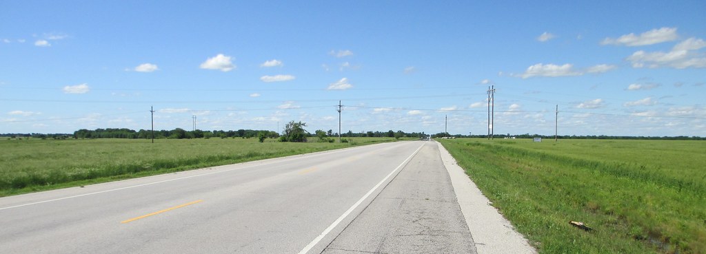
Route 66 'Sidewalk Highway' section (Oklahoma)

I rarely get up early enough just to shoot sunrises, but I was finally determined to get up this morning to try and catch a sunrise. Totally worth it! Here's one of the shots that I got. Edited with Mextures, VSCOcam, and Snapseed. Definitely motivated no

A Drive in the Country

Iced over.
Winter sunsets.

Sky Ablaze
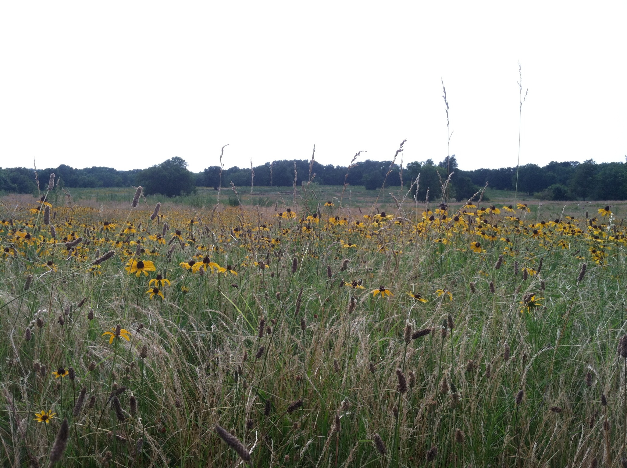
Northeastern Oklahoma Landscape (Ottawa County, Oklahoma)

Sudden sunset

Northeastern Oklahoma Landscape (Ottawa County, Oklahoma)

Kiss the Sky
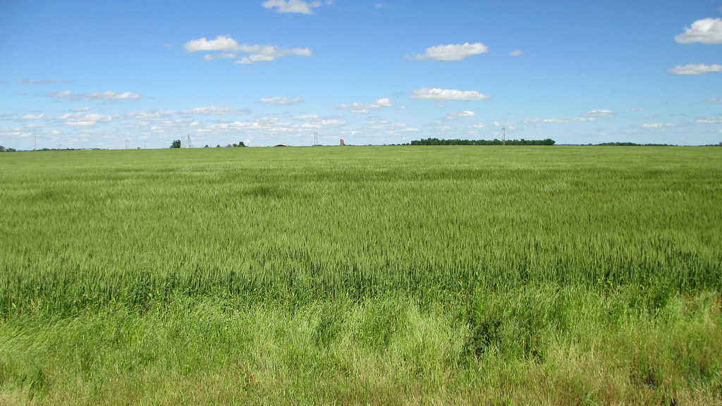
Northeastern Oklahoma Wheatfield (Delaware County, Oklahoma)

Sudden sunset close

Northeastern Oklahoma Landscape (Delaware County, Oklahoma)

Snow Sunset
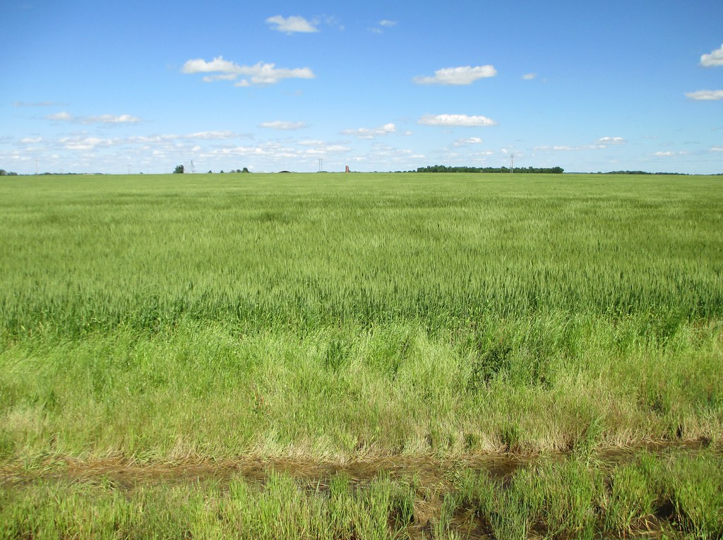
Northeastern Oklahoma Wheatfield (Delaware County, Oklahoma)

My Photo Stream-351
My Photo Stream-353
2012 Route 66, Vegas,Los Angeles, and Houston
#Missouri #skyview #skyline #mowx
Topographic Map of U.S. 69, US-69, United States
Find elevation by address:

Places near U.S. 69, US-69, United States:
Fairland
Afton
Miami Municipal Pool
Miami
320 J St Nw
Ottawa County
Miami, Ok
17 G St Ne
Baby Blip 3d/4d Ultrasound Studio
Playland Lanes
Neo A&m College
Days Inn By Wyndham Miami
620 Mckinley St
502 Eastgate Blvd
Bird
Neo Medical Center: Grotheer Martin H Md
Sky Harbor Drive
2415 N Main St
1401 Linden Ln
Copeland
Recent Searches:
- Elevation of Corso Fratelli Cairoli, 35, Macerata MC, Italy
- Elevation of Tallevast Rd, Sarasota, FL, USA
- Elevation of 4th St E, Sonoma, CA, USA
- Elevation of Black Hollow Rd, Pennsdale, PA, USA
- Elevation of Oakland Ave, Williamsport, PA, USA
- Elevation of Pedrógão Grande, Portugal
- Elevation of Klee Dr, Martinsburg, WV, USA
- Elevation of Via Roma, Pieranica CR, Italy
- Elevation of Tavkvetili Mountain, Georgia
- Elevation of Hartfords Bluff Cir, Mt Pleasant, SC, USA