Elevation of U.S. 23, US-23, Mars Hill, NC, USA
Location: United States > North Carolina > Madison County > 3, Mars Hill > Mars Hill >
Longitude: -82.535988
Latitude: 35.8210798
Elevation: 658m / 2159feet
Barometric Pressure: 94KPa
Elevation Map:
Satellite Map:
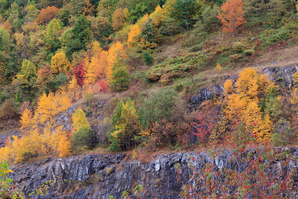
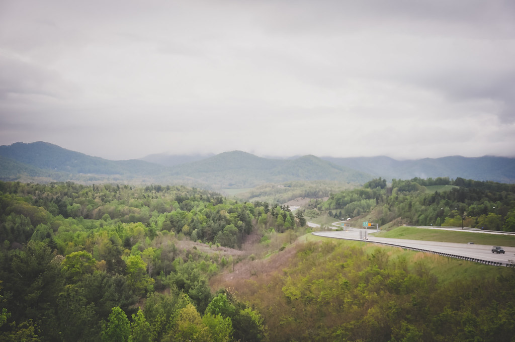
Related Photos:

Madison County Courthouse, Marshall, NC

Over the Blacks Range

Red Barn with Tree

Solo Creek

View from Sid's Veranda in Marshal NC.

Carson Cabin, Big Ivy Historical Park

Marshall, NC, Contrasted View

East of Dillingham

In the Library at Weaverville, NC

You Are the Sunflower of My Life - Apologies to Stevie Wonder! View large. Explore November 3, 2012.

HDR Rainbow

Nearly Engulfed

Mars Theatre

blue ridge valley

A "Laurel Hell" (Rhododendron maxima)

Dark and Misty
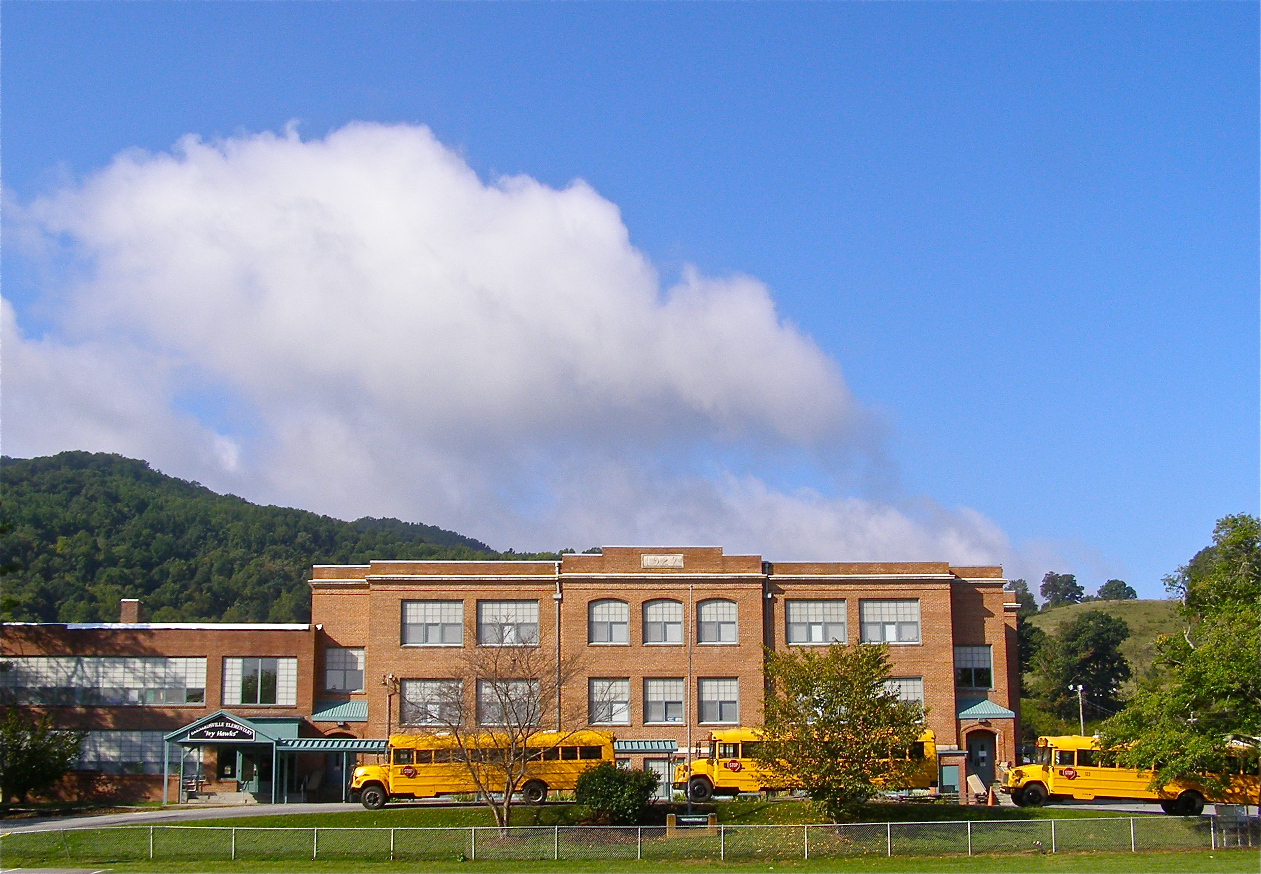
Mountain School

Carter-Swain House

After the Storm

Carter-Swain House

Appalachian Trail

784 crosses the French Broad

Rime Ice

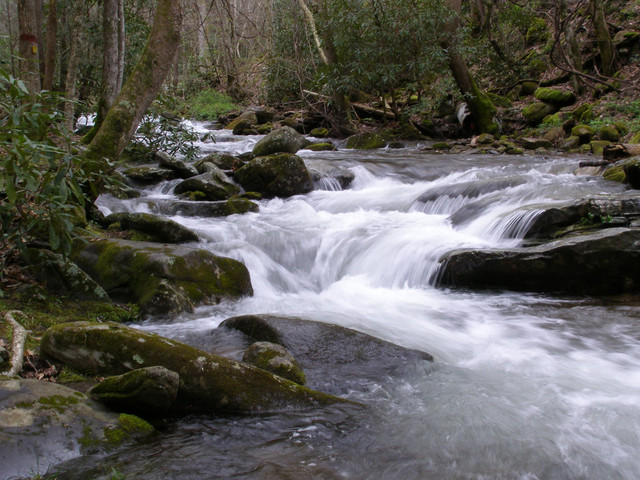
Grey Winter Creek

Haw Branch Barns

Yesterday's Barn
All's Well
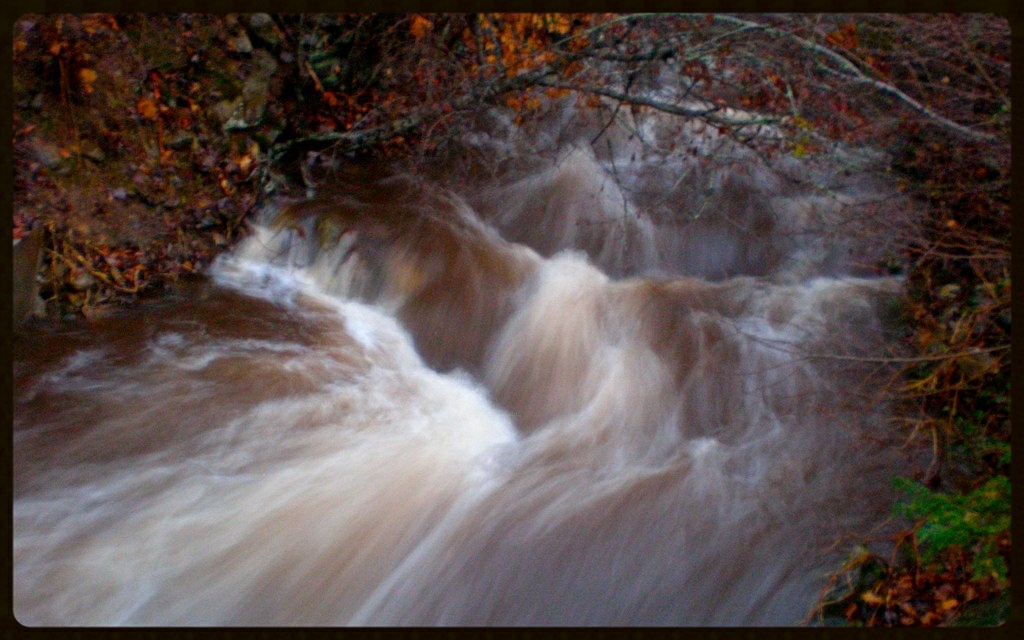
Flush at Walker Creek, 2009

Red Barn
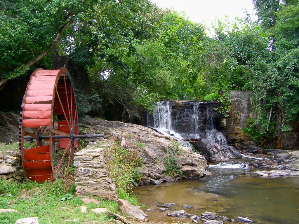
Reems Creek Old Mill Site

Nature and Man

Morning at the Cabin

Flat Creek Oak

Spring Rain
Tennesee Colors

Waterfall at Lake Louise (Weaverville, North Carolina)
Mountains in North Carolina
Topographic Map of U.S. 23, US-23, Mars Hill, NC, USA
Find elevation by address:

Places near U.S. 23, US-23, Mars Hill, NC, USA:
102 Valley Dr
286 Spring Dr
Valley Drive
492 Mountain View Rd
492 Mountain View Rd
Pine Ridge Road
132 Cherry St
Mountain View Road
95 S Main St
81 Chestnut St
22 S Main St
343 Chestnut St
Mars Hill
Madison County Housing Auth
Mars Hill University
831 N Main St
200 Mountain Home Estates Dr
734 Bailey St
110 Spring Valley St
119 Ridgeway Dr
Recent Searches:
- Elevation of Corso Fratelli Cairoli, 35, Macerata MC, Italy
- Elevation of Tallevast Rd, Sarasota, FL, USA
- Elevation of 4th St E, Sonoma, CA, USA
- Elevation of Black Hollow Rd, Pennsdale, PA, USA
- Elevation of Oakland Ave, Williamsport, PA, USA
- Elevation of Pedrógão Grande, Portugal
- Elevation of Klee Dr, Martinsburg, WV, USA
- Elevation of Via Roma, Pieranica CR, Italy
- Elevation of Tavkvetili Mountain, Georgia
- Elevation of Hartfords Bluff Cir, Mt Pleasant, SC, USA