Elevation of U Road, Madison, KS, USA
Location: United States > Kansas > Madison >
Longitude: -96.193759
Latitude: 38.1625633
Elevation: 351m / 1152feet
Barometric Pressure: 97KPa
Elevation Map:
Satellite Map:
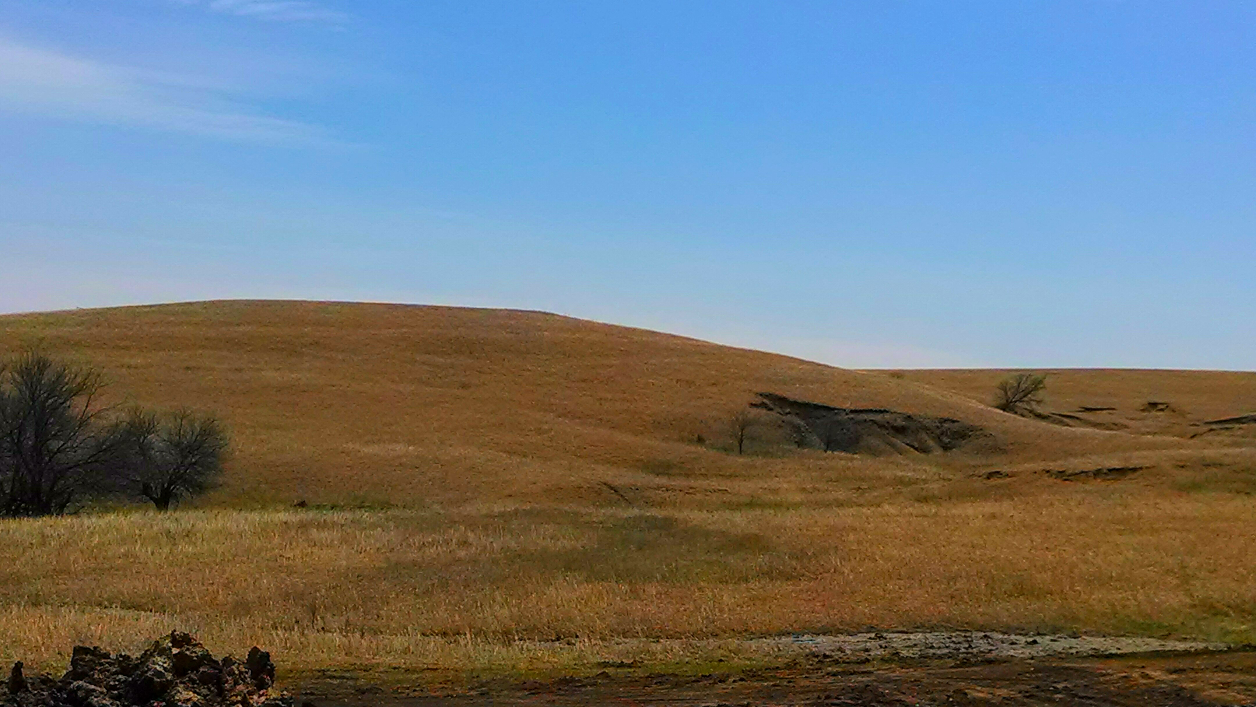
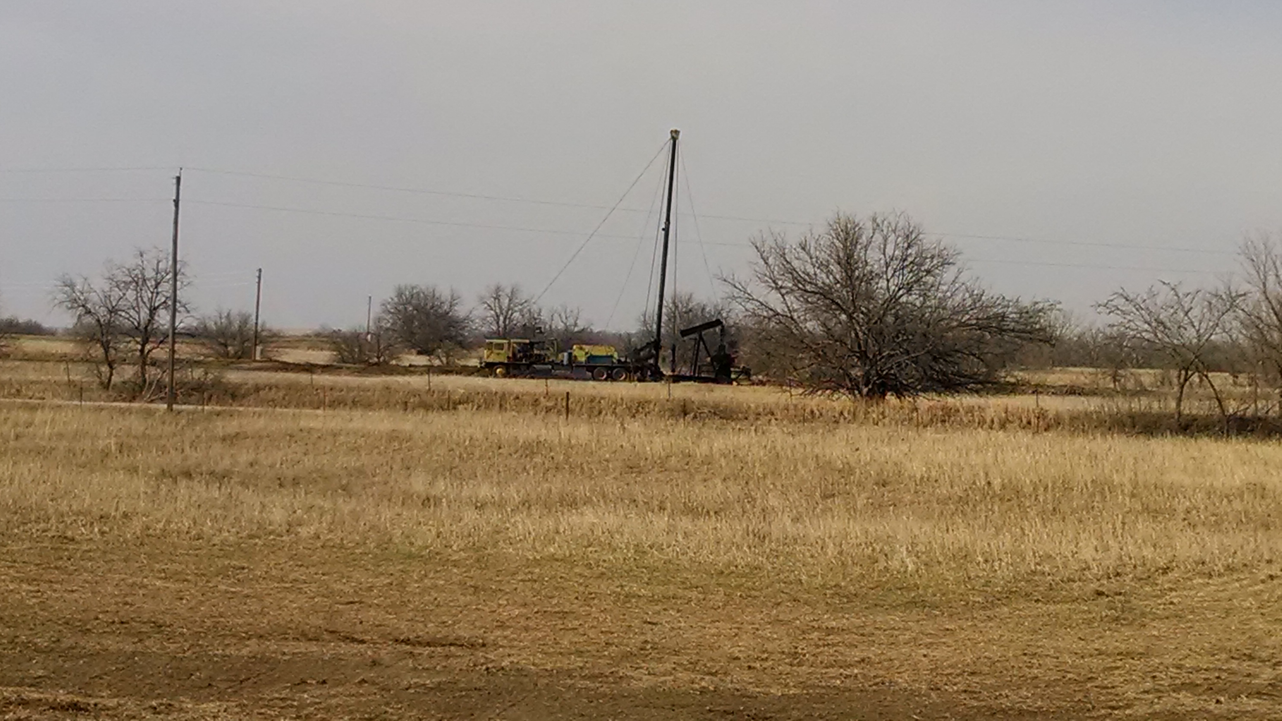
Related Photos:

ebenezer infared june 25

Kansas Highway 99 to Emporia
working in Lyon county.
working in Lyon county.

Some pics from around Olpe, Kansas.

Heading north

Crossing Road 50

By the Creek

Some pics from around Olpe, Kansas.

Some pics from around Olpe, Kansas.

Some pics from around Olpe, Kansas.

Some pics from around Olpe, Kansas.

Some pics from around Olpe, Kansas.

Some pics from around Olpe, Kansas.

misc from phone

misc from phone

photo-4

Kansas Highway 99 to Emporia

ESU Goes To Olpe High School Parent Teacher Conferences

Great Grandma Z

Post Office 66855 (Lamont, Kansas)

Post Office 66860 (Madison, Kansas)
Topographic Map of U Road, Madison, KS, USA
Find elevation by address:

Places near U Road, Madison, KS, USA:
Leiser Construction. Llc
Madison
9 W Attendorn St, Olpe, KS, USA
Olpe
Center
3054 W Rd
Janesville
3054 Co Rd 4
13 Main St, Hamilton, KS, USA
Hamilton
120 Commercial St
Pike
Emporia
Flint Hills Lanes
Carter St, Emporia, KS, USA
Tortas El Toro
7th Avenue Storage
Jimmy John's
Red Rocks State Historic Site
Lyon County
Recent Searches:
- Elevation of Corso Fratelli Cairoli, 35, Macerata MC, Italy
- Elevation of Tallevast Rd, Sarasota, FL, USA
- Elevation of 4th St E, Sonoma, CA, USA
- Elevation of Black Hollow Rd, Pennsdale, PA, USA
- Elevation of Oakland Ave, Williamsport, PA, USA
- Elevation of Pedrógão Grande, Portugal
- Elevation of Klee Dr, Martinsburg, WV, USA
- Elevation of Via Roma, Pieranica CR, Italy
- Elevation of Tavkvetili Mountain, Georgia
- Elevation of Hartfords Bluff Cir, Mt Pleasant, SC, USA