Elevation of Tyler Branch Rd, Enosburg Falls, VT, USA
Location: United States > Vermont > Franklin County > Enosburg > Enosburg Falls >
Longitude: -72.797980
Latitude: 44.872112
Elevation: 138m / 453feet
Barometric Pressure: 100KPa
Elevation Map:
Satellite Map:
Related Photos:

Deer hut at camp
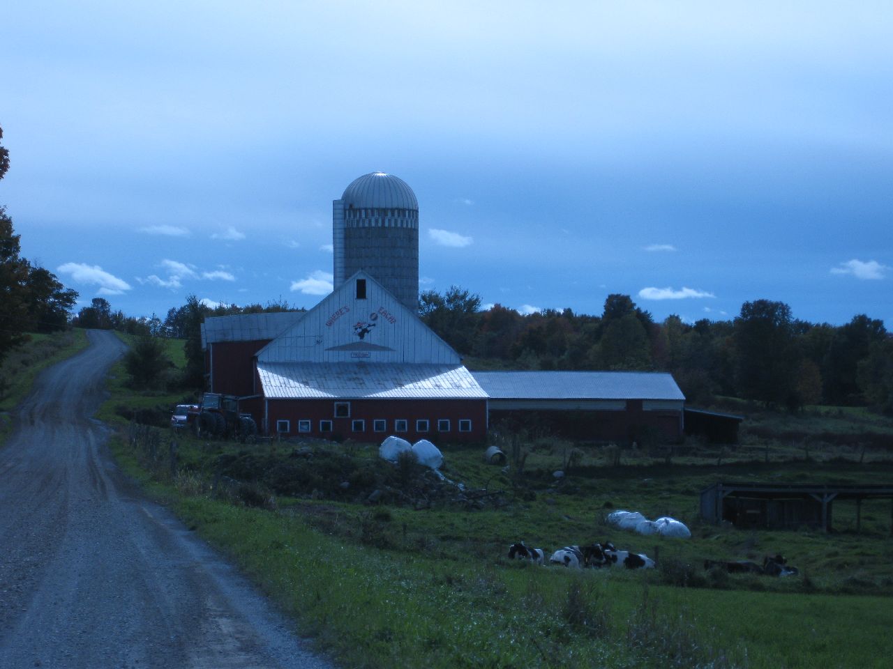
316 Towle Neighborhood Rd 10-2-2009 1-59-26 PM 3648x2736
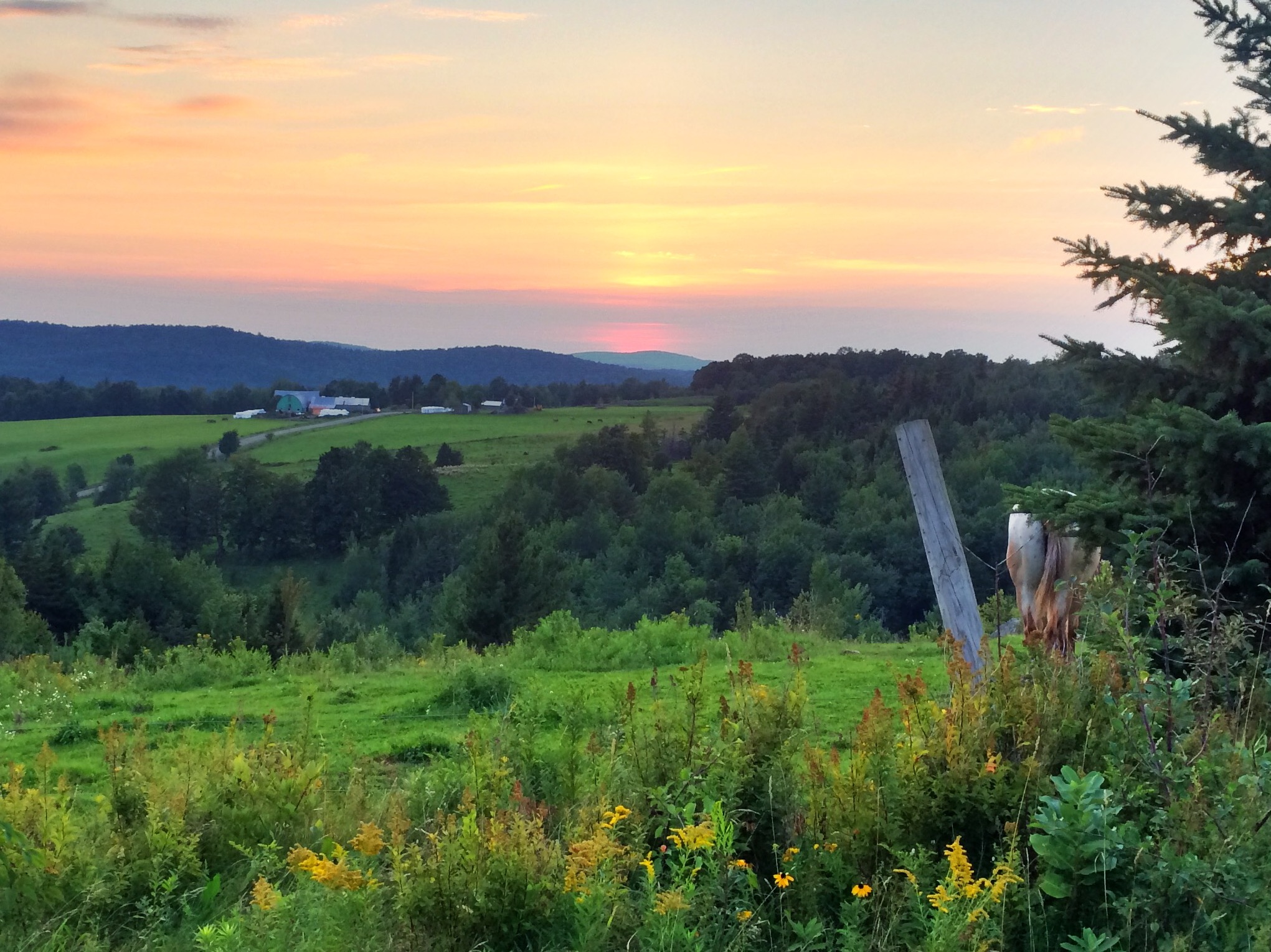
View from one of my running routes
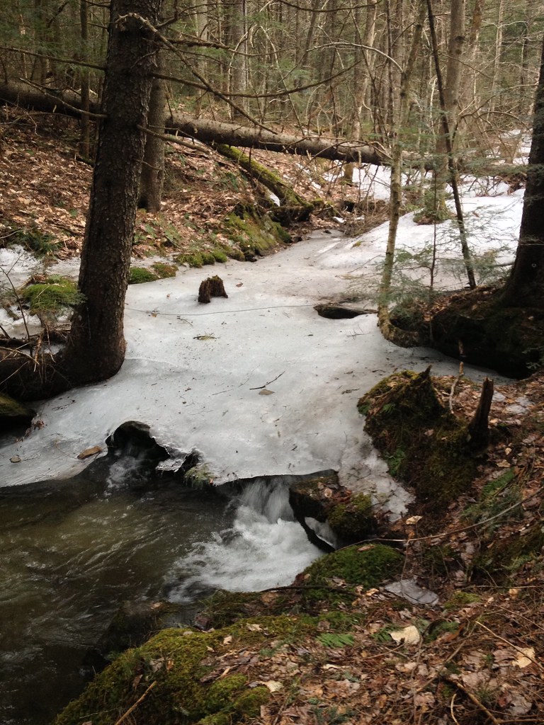
2013-04-11 18.49.37 HDR
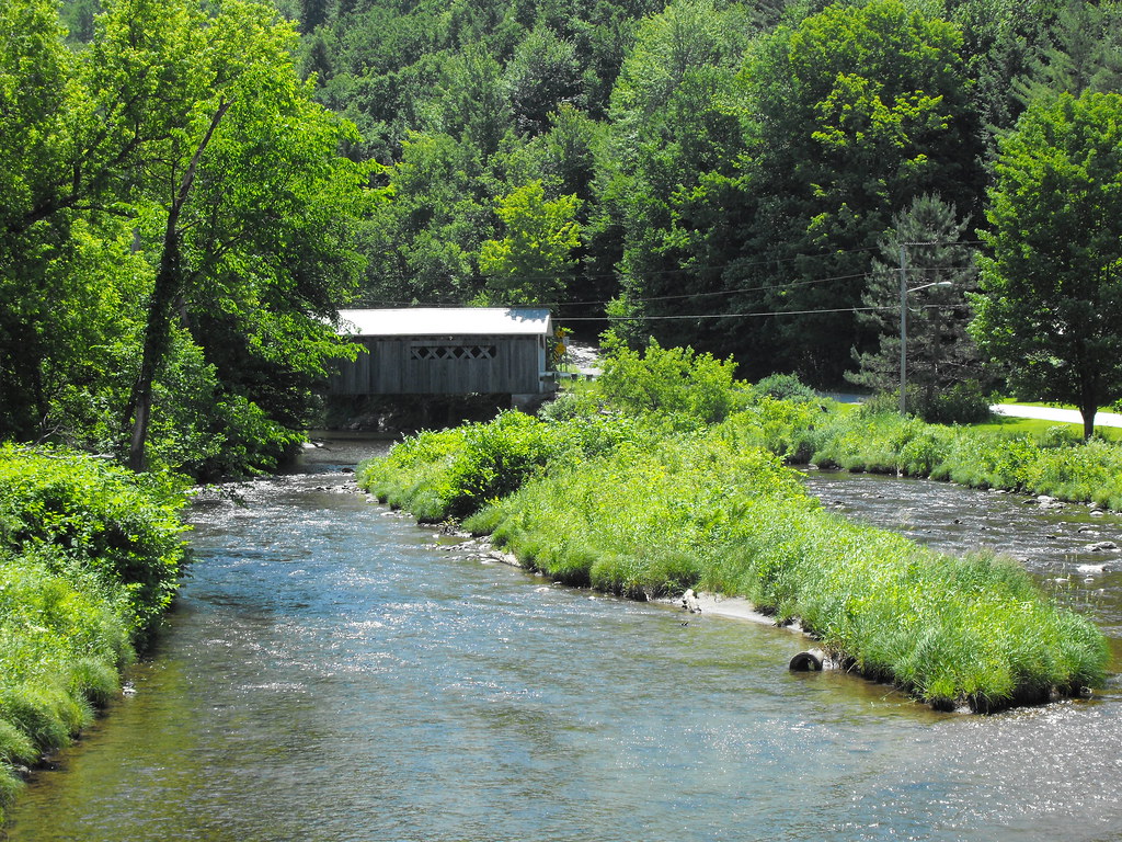
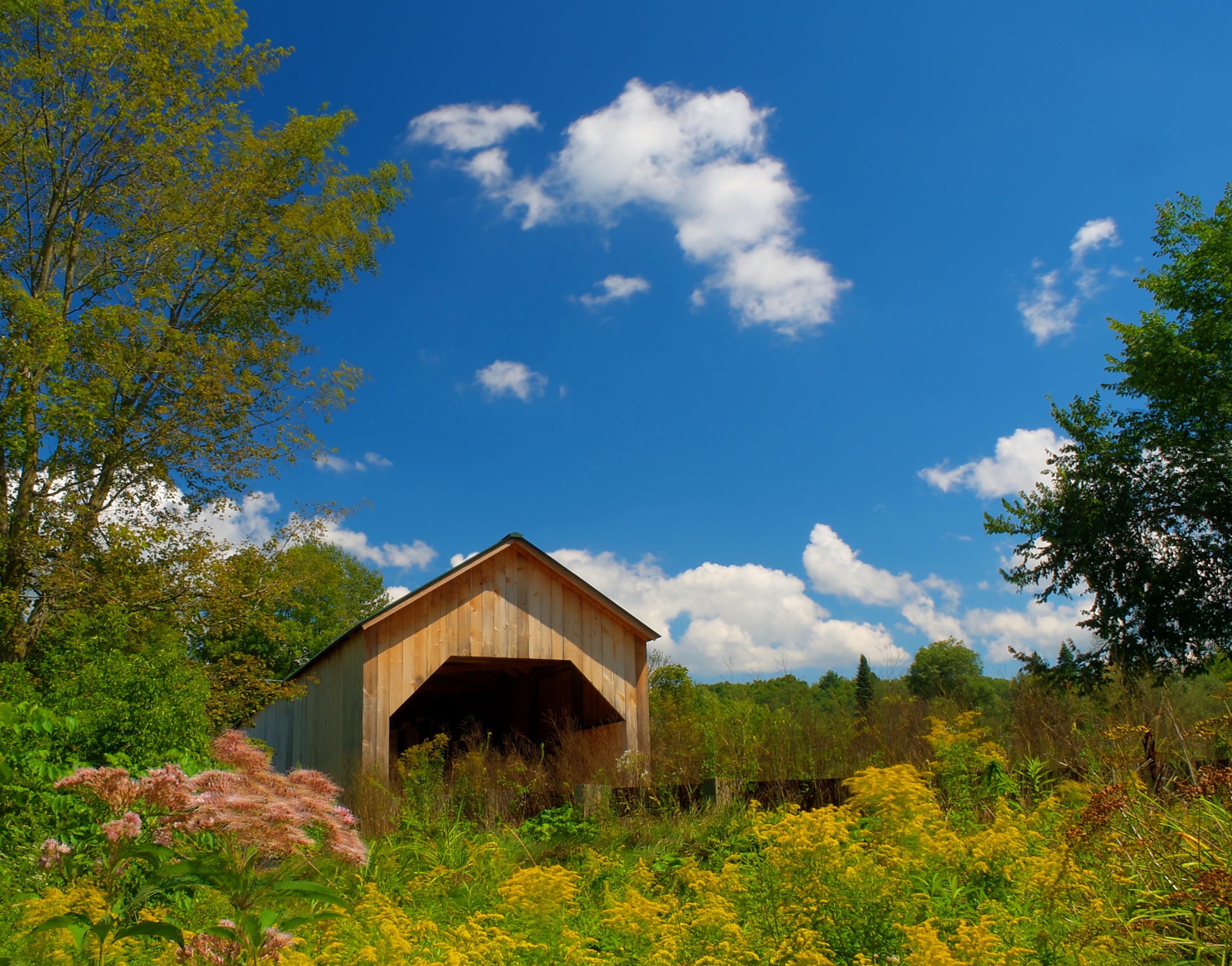
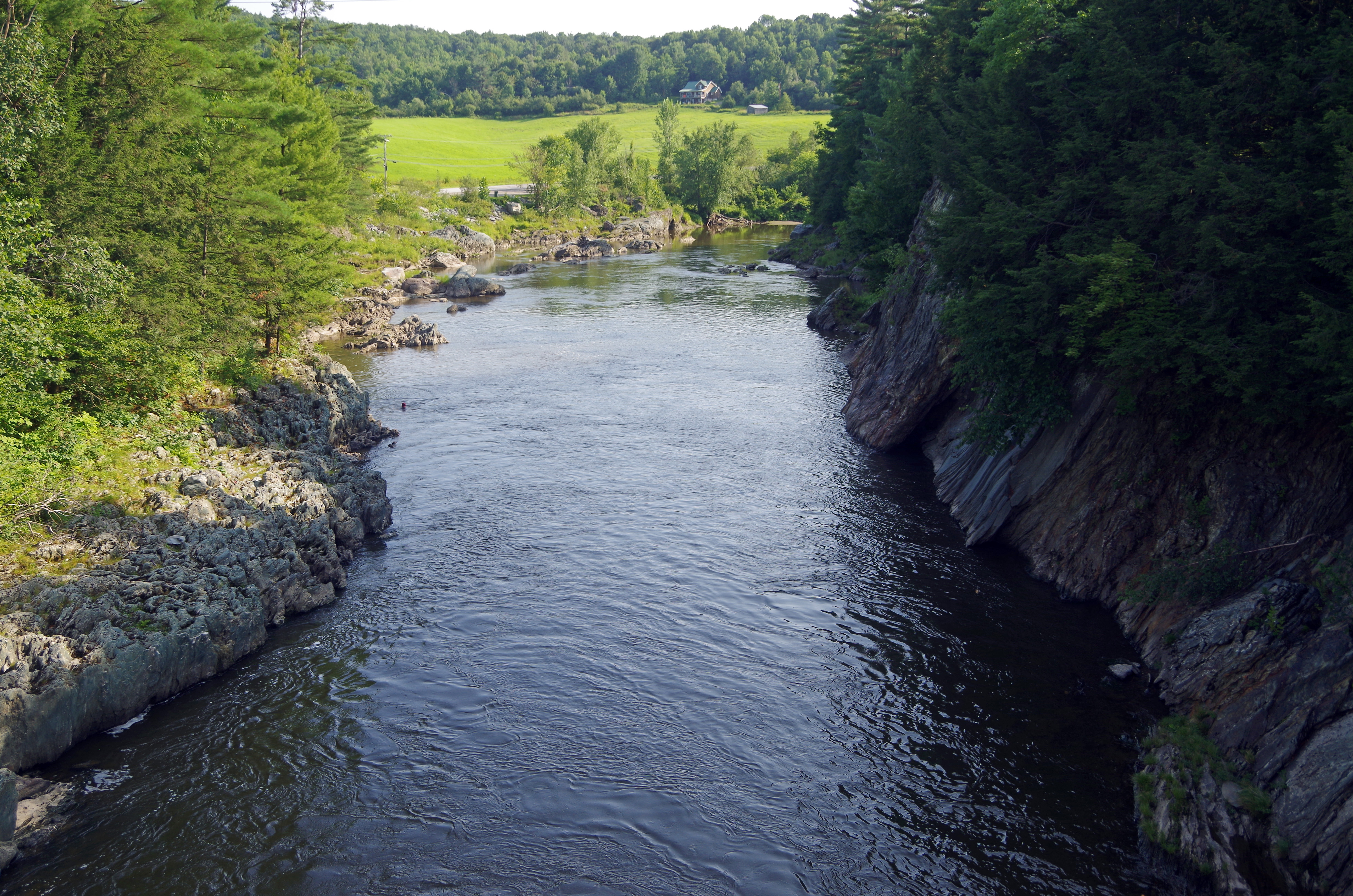
Comstock Covered Bridge in Vermont
#Vermont. Getting back to #nature for a few days does the #soul well! #autumn #trees #hiking #outdoors pic by @mia_tidwell
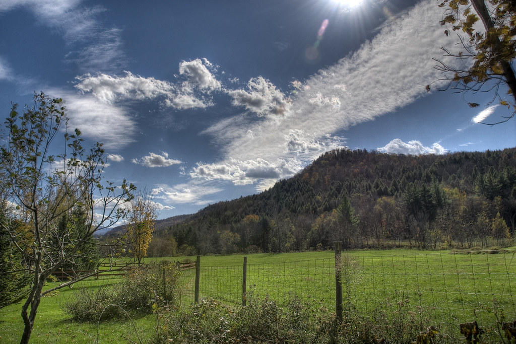
glorious day
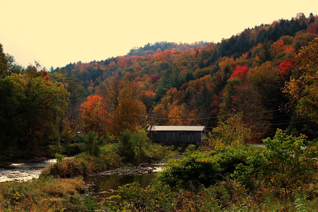
Comstock Covered Bridge
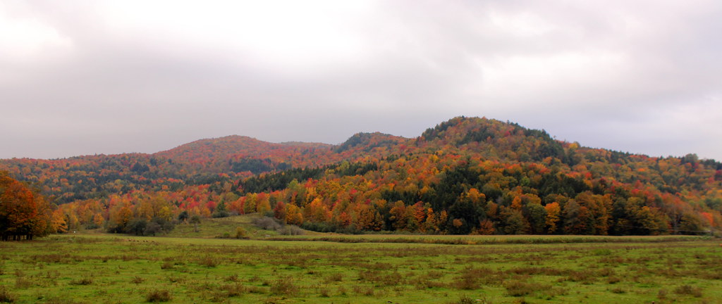
Fall Foliage in Vermont
Comstock Covered Bridge in Montgomery, Vermont
East Fairfield Covered Bridge

100 km de bicicleta / 100 km by bicycle
Hold, Heart, don't beat so loud.. If you fail me now, I am defeated.
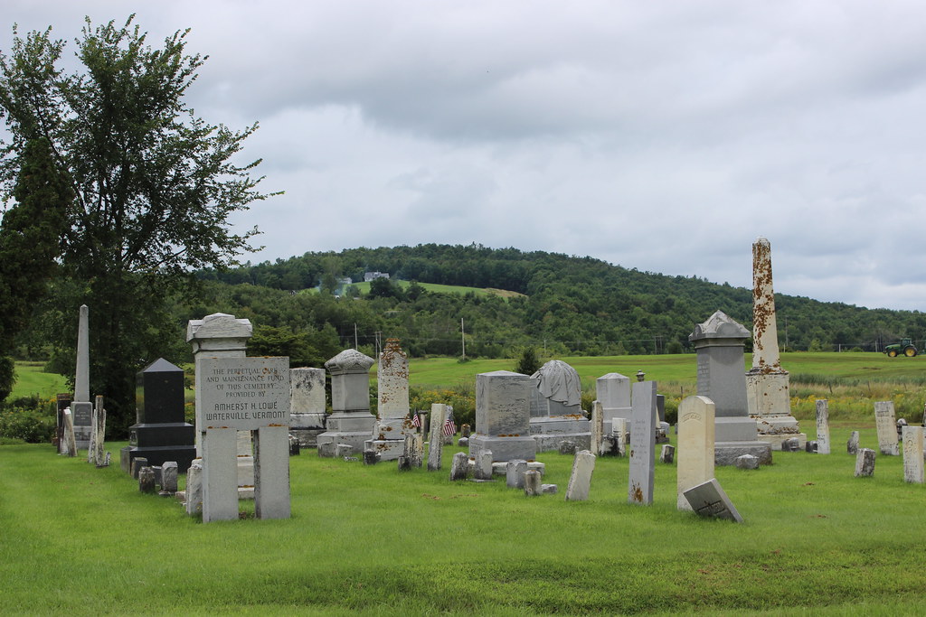
East Berkeshire Episcopal Cemetery
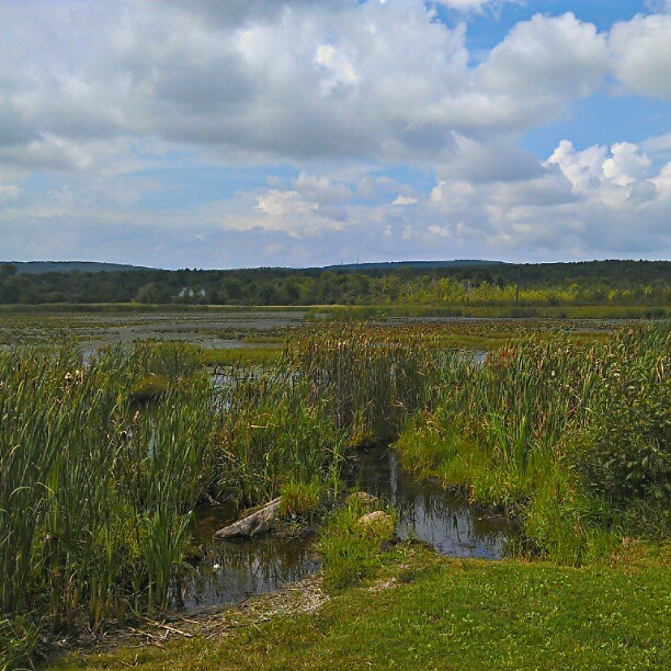
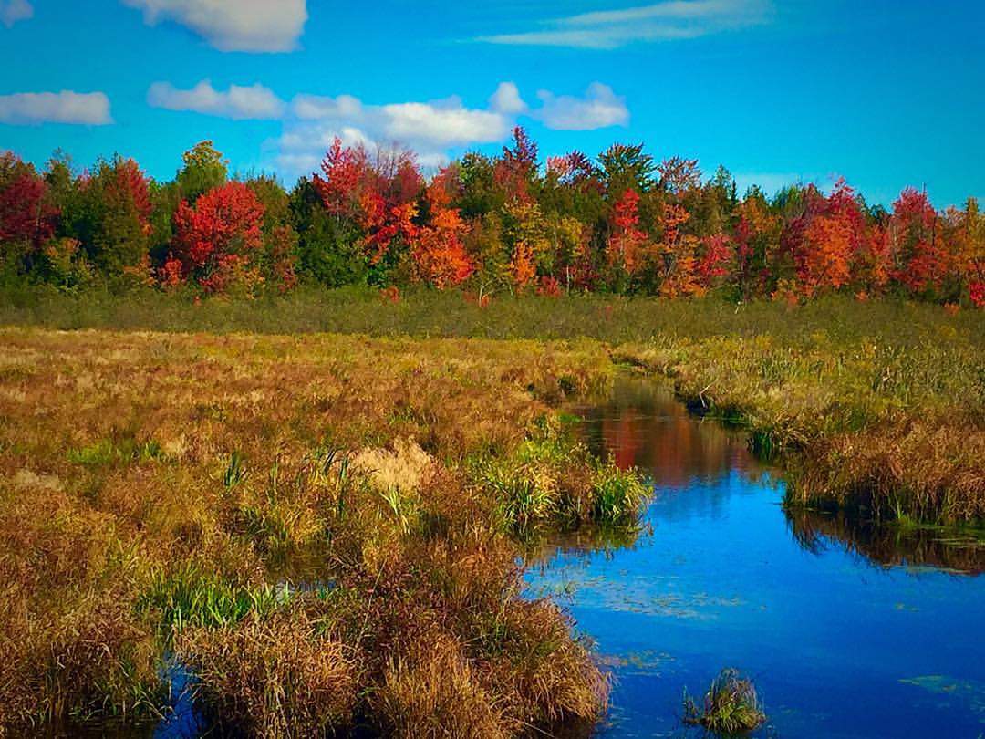
Marsh madness

Fairfield Pond
clouds over charlie's

Sunset Canoe, Lake Carmi

Stormy Vermont Evening

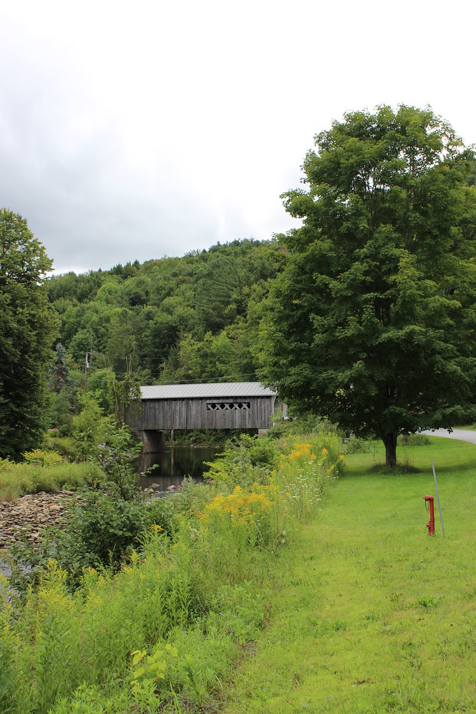
Morgan Bridge - Waterville, VT
20120614NEM0007.jpg
2013-04-08 16.27.32 HDR
Vermont 2014 - 02 122
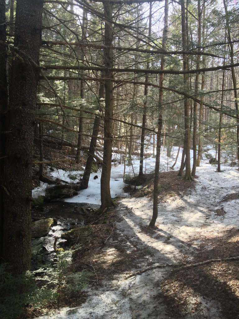
2013-04-08 16.25.48 HDR
Topographic Map of Tyler Branch Rd, Enosburg Falls, VT, USA
Find elevation by address:

Places near Tyler Branch Rd, Enosburg Falls, VT, USA:
Enosburg Falls
474 Gilman Rd
531 Gilman Rd
Stanley Rd, Enosburg Falls, VT, USA
40 Stanley Rd, Enosburg Falls, VT, USA
Berkshire
20 Wanzer Rd
3112 Lake Rd
Tanner Junction Road
Franklin County
3330 Middle Rd
Sheldon
97 Severance Rd, Sheldon, VT, USA
Franklin
10 Rocky Maple Ln
Durkee Rd, Highgate Center, VT, USA
954 Franklin Rd
66 Meadow Ln
393 Cook Rd
481 Bushey Rd
Recent Searches:
- Elevation of Corso Fratelli Cairoli, 35, Macerata MC, Italy
- Elevation of Tallevast Rd, Sarasota, FL, USA
- Elevation of 4th St E, Sonoma, CA, USA
- Elevation of Black Hollow Rd, Pennsdale, PA, USA
- Elevation of Oakland Ave, Williamsport, PA, USA
- Elevation of Pedrógão Grande, Portugal
- Elevation of Klee Dr, Martinsburg, WV, USA
- Elevation of Via Roma, Pieranica CR, Italy
- Elevation of Tavkvetili Mountain, Georgia
- Elevation of Hartfords Bluff Cir, Mt Pleasant, SC, USA