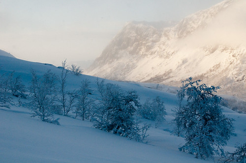
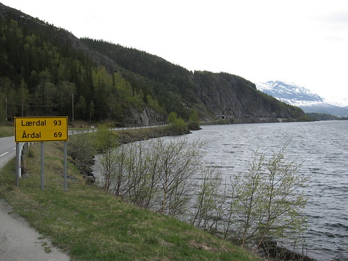
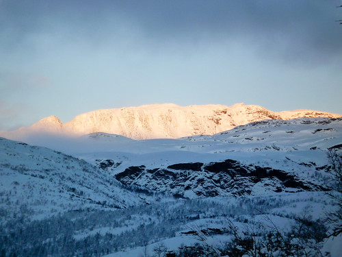
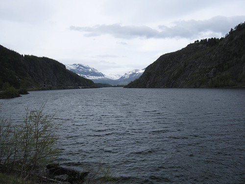
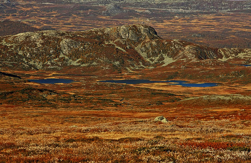
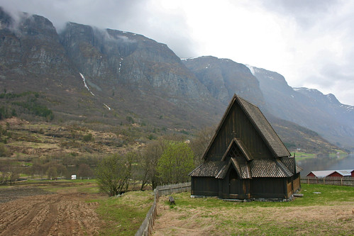
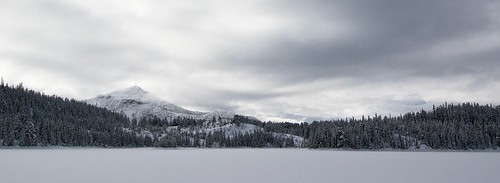
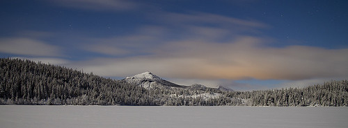
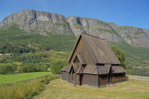
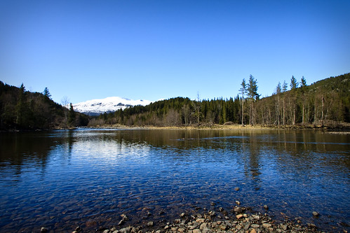
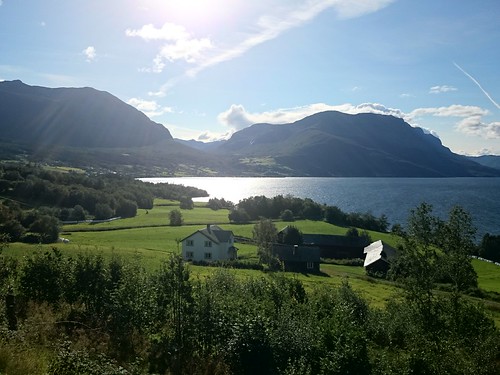
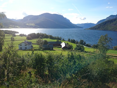
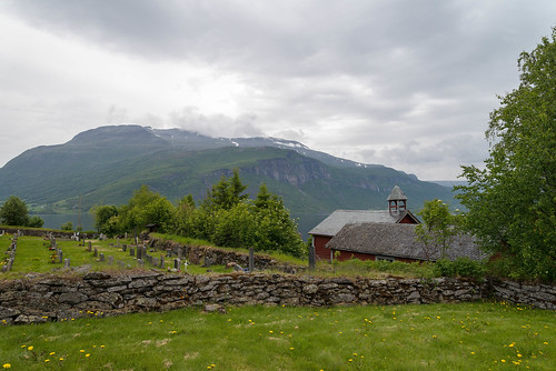
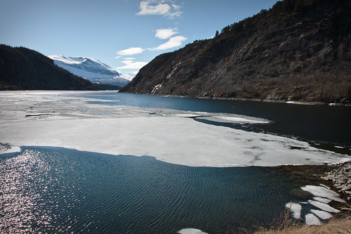
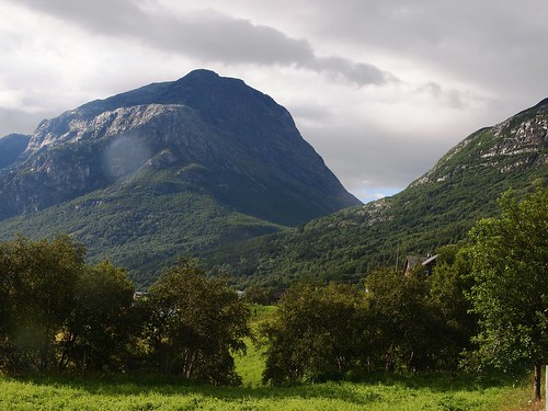
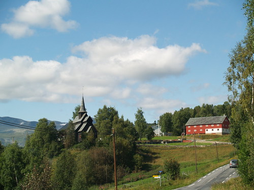
Elevation of Tyinvegen, Norway
Location: Norway > Oppland > Vang >
Longitude: 8.5238382
Latitude: 61.1433259
Elevation: 473m / 1552feet
Barometric Pressure: 96KPa
Related Photos:
Topographic Map of Tyinvegen, Norway
Find elevation by address:

Places near Tyinvegen, Norway:
Fausko Skysstasjon As
Hemsdal Municipality
Raudalen Alpine
Ryfoss
Ulsåk
E16 50, Ryfoss, Norway
Vestre Slidre Municipality
Øystre Slidr Municipality
Beitostølen Resort
Beitostølen
Jotunheimen National Park
Slidre
Skammestein
Ålfjell
Rv51, Tessanden, Norway
Hegge
Gol
Glittertind
Ål Municipality
Vågå
Recent Searches:
- Elevation of Corso Fratelli Cairoli, 35, Macerata MC, Italy
- Elevation of Tallevast Rd, Sarasota, FL, USA
- Elevation of 4th St E, Sonoma, CA, USA
- Elevation of Black Hollow Rd, Pennsdale, PA, USA
- Elevation of Oakland Ave, Williamsport, PA, USA
- Elevation of Pedrógão Grande, Portugal
- Elevation of Klee Dr, Martinsburg, WV, USA
- Elevation of Via Roma, Pieranica CR, Italy
- Elevation of Tavkvetili Mountain, Georgia
- Elevation of Hartfords Bluff Cir, Mt Pleasant, SC, USA
