Elevation of Tyalgum NSW, Australia
Location: Australia > New South Wales > Tweed Shire Council >
Longitude: 153.216667
Latitude: -28.366667
Elevation: -10000m / -32808feet
Barometric Pressure: 295KPa
Elevation Map:
Satellite Map:
Related Photos:

Underneath Chalahn Falls

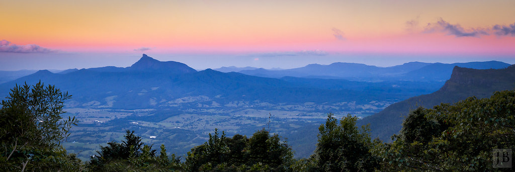
Looking towards Byron Bay from Springbrook

Natural Bridge (Lower)

Road to Nowhere

Elabana Falls, Lamington National Park

the Tweed caldera

Uki, New South Wales, Australia 2016-01-11 14:14:50

Springbrook plateau

Mt Warning views right down to Gold Coast. Whoa.

Gold Coast _DSC4852

Take me to the river (Al Green)

Bullock team hauling logs in the Byangum district, ca. 1911

Gold Coast _D805056

Max Lamont with Ted Brim's bullocks, Chillingham, ca. 1940

Mt Warning

View from Best of All lookout, on the southern end of the Springbrook Plateau

where dreams are shattered.....

5923_View_on_way_down_Warning_Wollumbin_(Big_Volcano)_National_Park_Murwillumbah_NSW

Beautiful view of old man Wollumbin, from Surabhi Kunja.

Over the Border

Mt Warning Summit Track

up in the clouds

Mist rising and Springbrook hidden

Natural Bridge

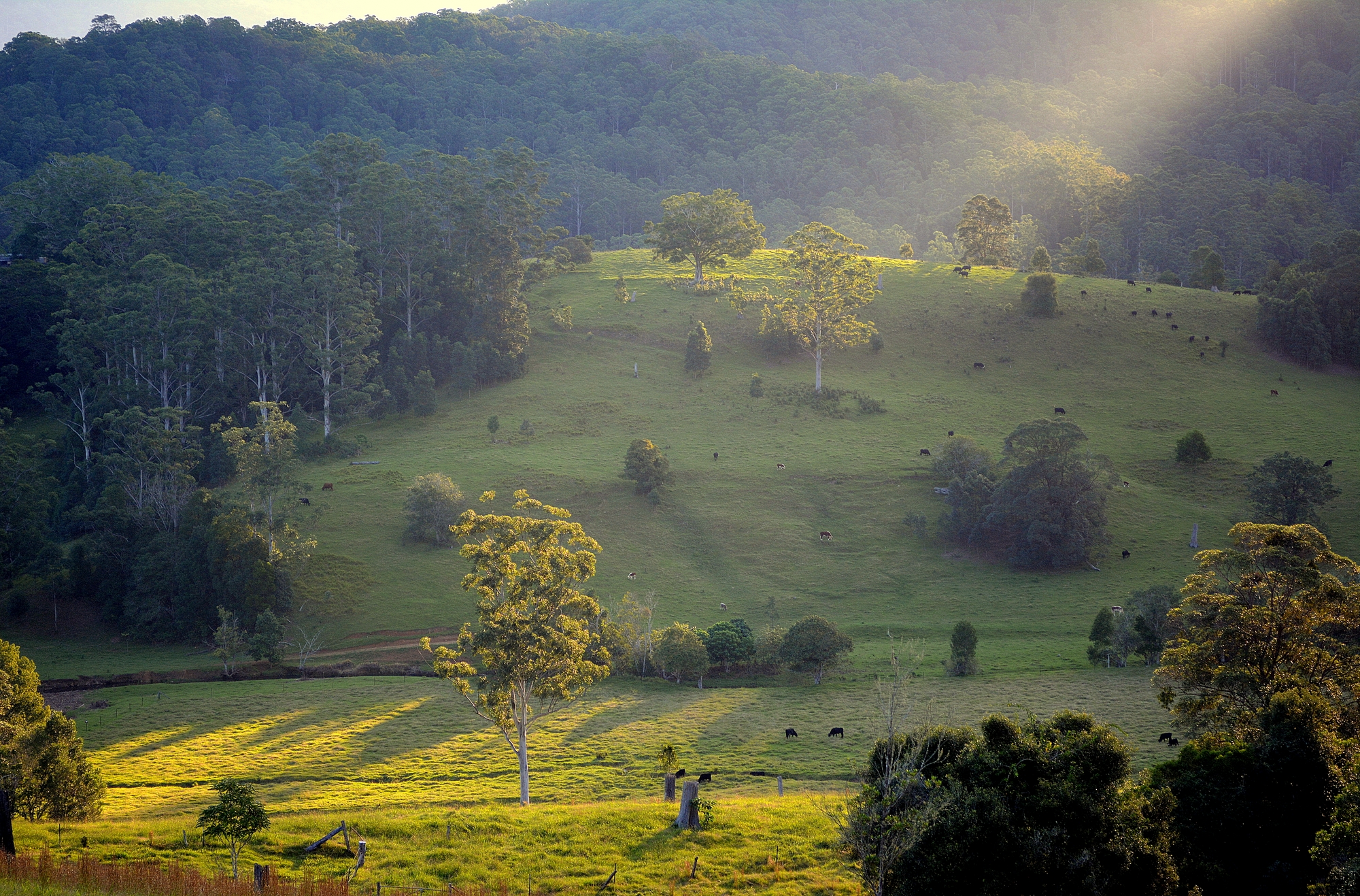
Morning light Tweed Valley
Tweed Valley PANO

Best of All Lookout

upper Rous Valley
Pat Smith's Creek
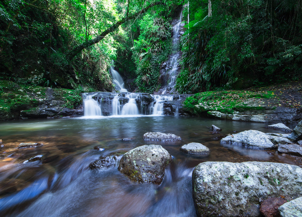
Elabana Falls, Lamington National Park
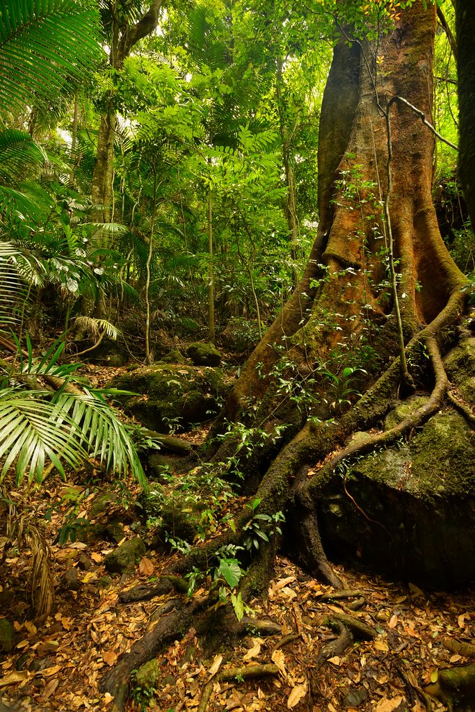
Fig Trees Rule
From the highest point on the Springbrook Plateau

Gwongurai Falls (now and in 1993 below)

Natural Bridge (Upper)

Mt Warning in First Light

Natural Bridge Waterfall

A Sea of Green
Topographic Map of Tyalgum NSW, Australia
Find elevation by address:

Places near Tyalgum NSW, Australia:
1345 Tyalgum Rd
Limpinwood
Limpinwood Lodge
Bald Mountain Road
Hopkins Creek
353 Hopkins Creek Rd
Hopkins Creek Road
700 Hopkins Creek Rd
792 Hopkins Creek Road
Daralulun Fauna Sanctuary
O'reilly
496 Lamington National Park Rd
7 Ee Jung Rd
2699 Springbrook Rd
O'reilly's Rainforest Retreat
Binna Burra Lodge & Rainforest Campsite
37 Velvet Downs Rd
107 Lyrebird Ridge Rd
Rainbow Ridge Steiner School
45 Lillian Rock Rd
Recent Searches:
- Elevation of Corso Fratelli Cairoli, 35, Macerata MC, Italy
- Elevation of Tallevast Rd, Sarasota, FL, USA
- Elevation of 4th St E, Sonoma, CA, USA
- Elevation of Black Hollow Rd, Pennsdale, PA, USA
- Elevation of Oakland Ave, Williamsport, PA, USA
- Elevation of Pedrógão Grande, Portugal
- Elevation of Klee Dr, Martinsburg, WV, USA
- Elevation of Via Roma, Pieranica CR, Italy
- Elevation of Tavkvetili Mountain, Georgia
- Elevation of Hartfords Bluff Cir, Mt Pleasant, SC, USA