Elevation of TX-, Sour Lake, TX, USA
Location: United States > Texas > Hardin County > Sour Lake >
Longitude: -94.397736
Latitude: 30.1396503
Elevation: 12m / 39feet
Barometric Pressure: 101KPa
Elevation Map:
Satellite Map:
Related Photos:

Mothers Day 2009

Mothers Day 2009

Mothers Day 2009

Mothers Day 2009

Mothers Day 2009

Mothers Day 2009

Mothers Day 2009

Mothers Day 2009

Chevrolet 6400

Mothers Day 2009

Mothers Day 2009

Mothers Day 2009

Door to the Past

Mothers Day 2009

Mothers Day 2009

Mothers Day 2009

Mothers Day 2009

Mothers Day 2009

Mothers Day 2009

The Wheels of Time

Mothers Day 2009
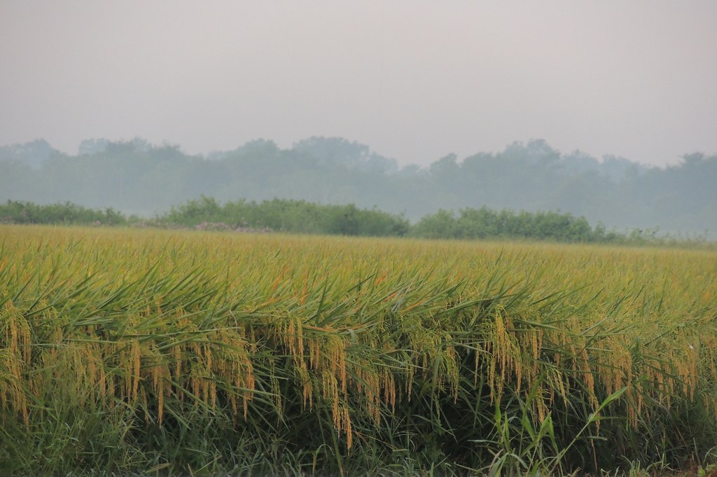
Morning Mist Over a South Texas Rice Field
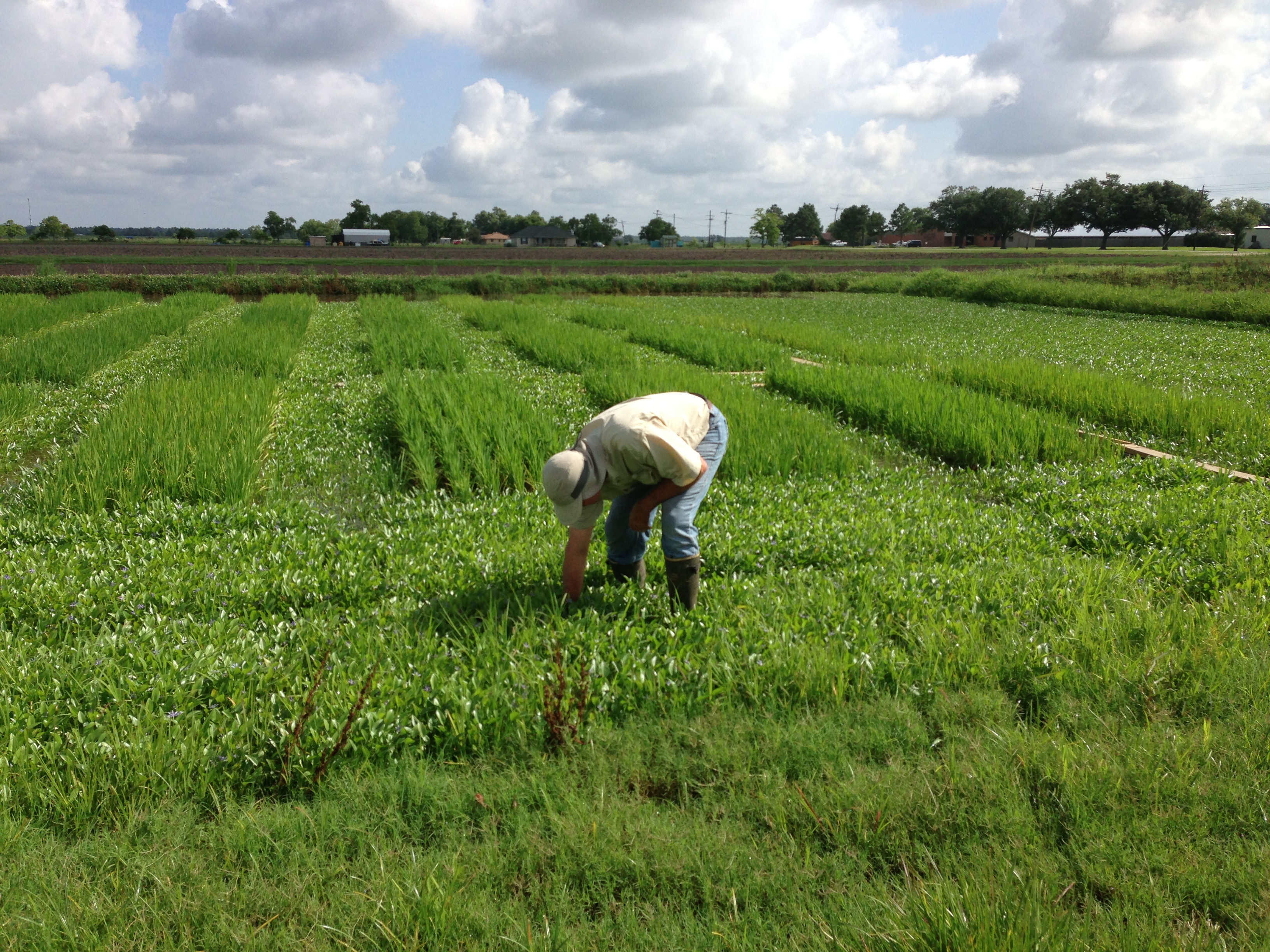
EMBHLU3 009

20121006-DSC04069

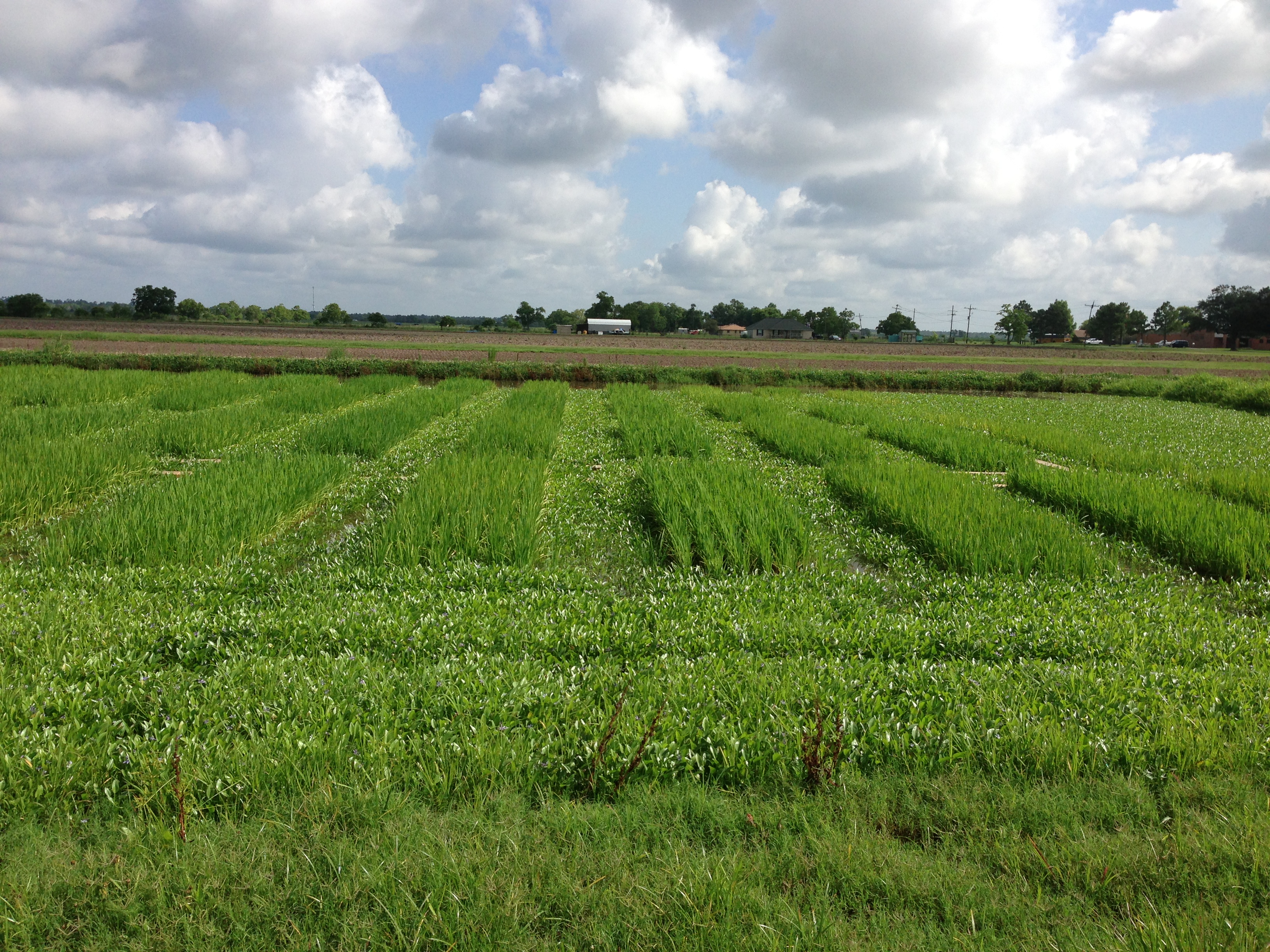
EMBHLU3 003
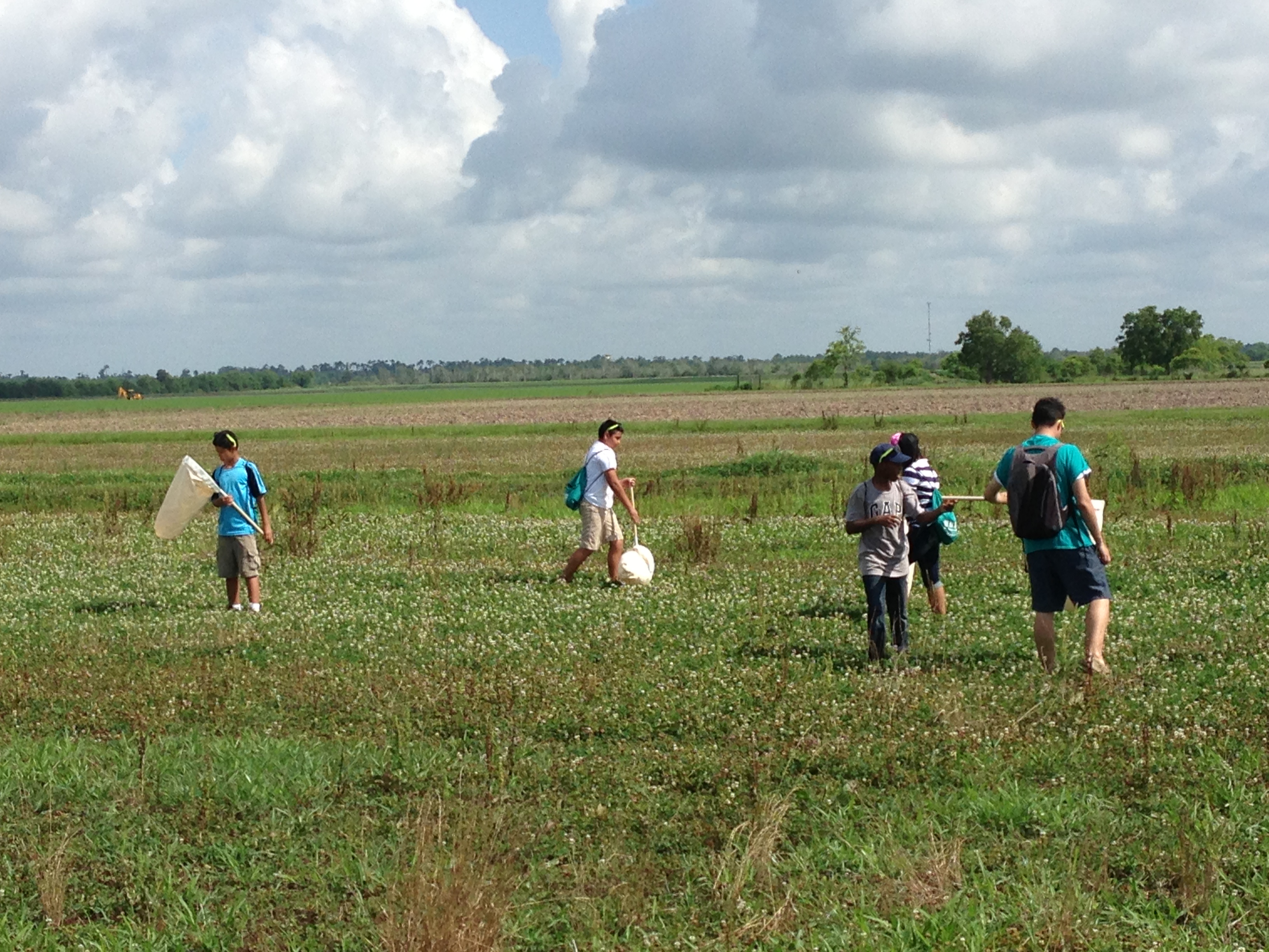
EMBHLU3 026

EMBHLU3 027
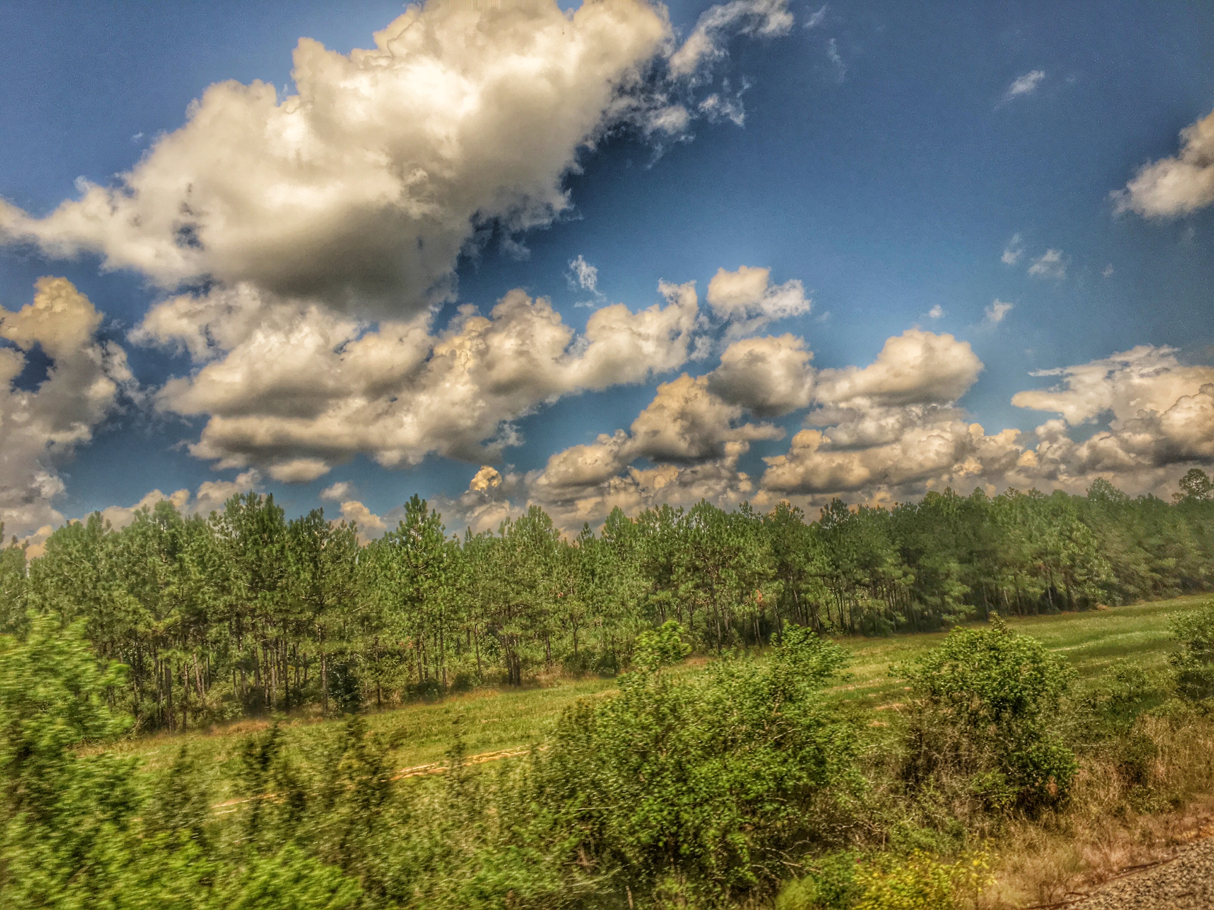
2016:08:28 17:49:29 Flickr-346

Rice Irrigation Canal
EMBHLU3 010
Topographic Map of TX-, Sour Lake, TX, USA
Find elevation by address:

Places near TX-, Sour Lake, TX, USA:
Lake Senior-lake Square
285 W Smith St
Sour Lake
1155 Mowbray St
1155 Mowbray St
1155 Mowbray St
Grayburg Rd, Sour Lake, TX, USA
17767 Tx-326
25216 Tx-105
3152 Oak Lane
495 W Rd
7770 River Rd
13555 Leaning Oaks Dr
Bevil Oaks
Moore Road
13465 Chimney Rock Dr
13430 Wayside Dr
13460 Alaskan Dr
7340 Saddlewood Dr
13375 Moss Hill Dr
Recent Searches:
- Elevation of Corso Fratelli Cairoli, 35, Macerata MC, Italy
- Elevation of Tallevast Rd, Sarasota, FL, USA
- Elevation of 4th St E, Sonoma, CA, USA
- Elevation of Black Hollow Rd, Pennsdale, PA, USA
- Elevation of Oakland Ave, Williamsport, PA, USA
- Elevation of Pedrógão Grande, Portugal
- Elevation of Klee Dr, Martinsburg, WV, USA
- Elevation of Via Roma, Pieranica CR, Italy
- Elevation of Tavkvetili Mountain, Georgia
- Elevation of Hartfords Bluff Cir, Mt Pleasant, SC, USA