Elevation of TX-, Port Lavaca, TX, USA
Location: United States > Texas >
Longitude: -96.763453
Latitude: 28.485146
Elevation: 7m / 23feet
Barometric Pressure: 101KPa
Elevation Map:
Satellite Map:
Related Photos:

alligator in black and white - refugio county, texas

Sunrise on Guadalupe River
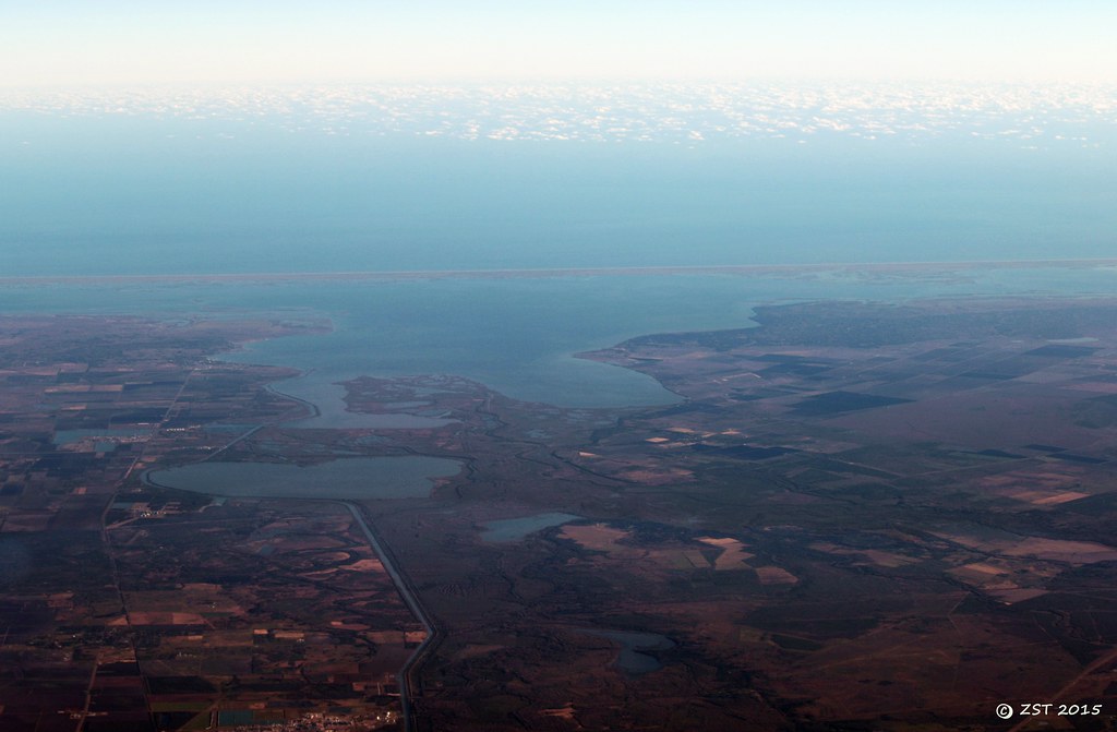
Hynes Bay & Green Lake
Late Afternoon on Guadalupe River

The Mouth of the Guadalupe River

Falcon Point
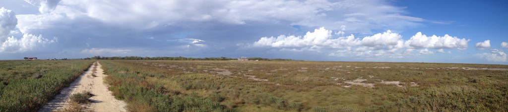
Is this Africa?
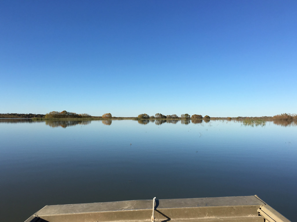
Swan Lake Panorama
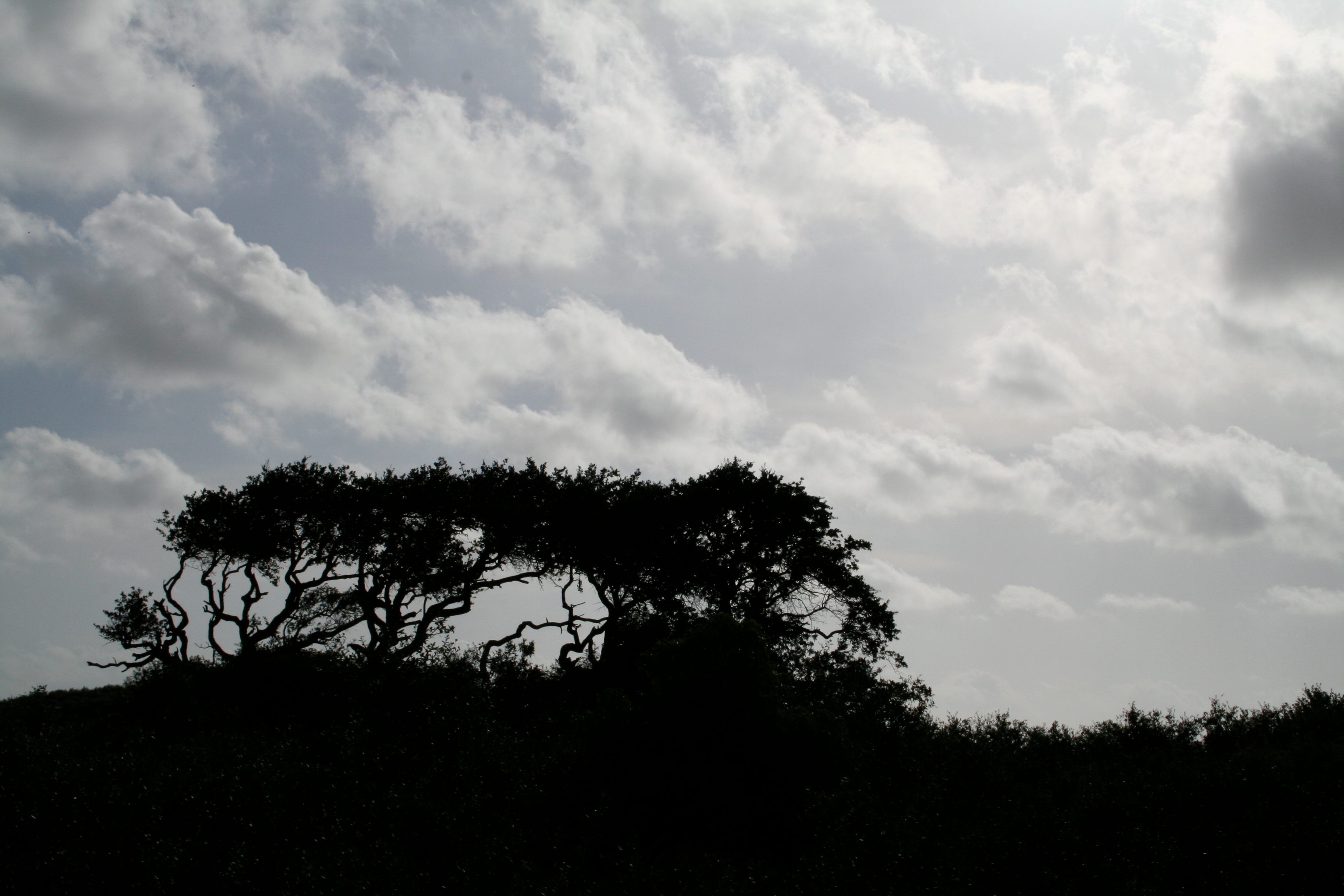
Delta Country

Pelican Point
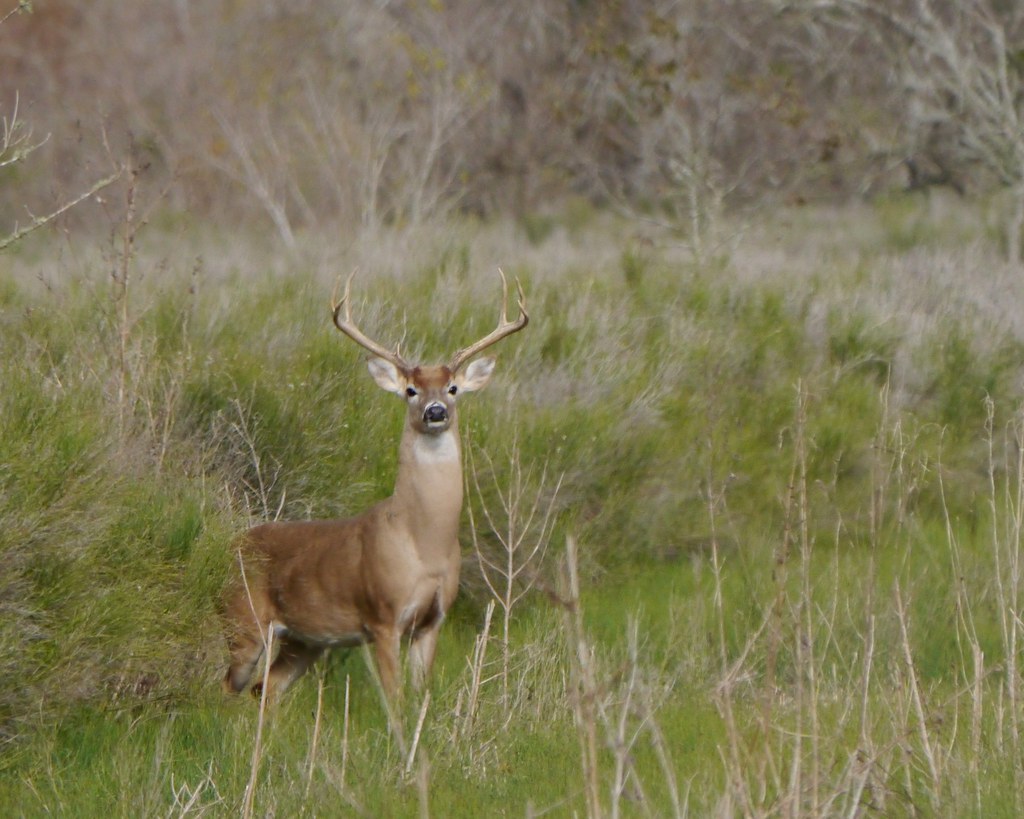
White-tailed Deer in Afternoon
Topographic Map of TX-, Port Lavaca, TX, USA
Find elevation by address:

Places near TX-, Port Lavaca, TX, USA:
Long Mott
Guadalupe Bay
Whatley Rd, Port Lavaca, TX, USA
1103 Cleveland Ave
Seadrift
804 Bay Ave
Green Lake
220 Bay Ave
Calhoun County
Tivoli
Main St, Tivoli, TX, USA
Bayou Drive
FM, Port Lavaca, TX, USA
254 Buren Rd
Randle Road
515 White Rd
433 Jack And Jill Rd
2499 W Austin St
2235 Leon Dr
West Austin Street
Recent Searches:
- Elevation of Corso Fratelli Cairoli, 35, Macerata MC, Italy
- Elevation of Tallevast Rd, Sarasota, FL, USA
- Elevation of 4th St E, Sonoma, CA, USA
- Elevation of Black Hollow Rd, Pennsdale, PA, USA
- Elevation of Oakland Ave, Williamsport, PA, USA
- Elevation of Pedrógão Grande, Portugal
- Elevation of Klee Dr, Martinsburg, WV, USA
- Elevation of Via Roma, Pieranica CR, Italy
- Elevation of Tavkvetili Mountain, Georgia
- Elevation of Hartfords Bluff Cir, Mt Pleasant, SC, USA