Elevation of Twin Lakes Dr, Flat Rock, NC, USA
Location: United States > North Carolina > Henderson County > Green River > Flat Rock >
Longitude: -82.367306
Latitude: 35.310224
Elevation: -10000m / -32808feet
Barometric Pressure: 295KPa
Elevation Map:
Satellite Map:
Related Photos:

Hendersonville Bears 13 - Into The Wild

PEARSON'S FALLS BLUE RIDGE MOUNTAINS ~ N.C.

Early December Sunset

Pearson's Falls-through the Trees

Into the Evening Air

Just a Trickle

90/365 ~ Saluda Cottages, Flat Rock, NC

Bradley Falls Side View

Dusk and Summer

Northwest View from Pinnacle Mountain
After the Storm

Big Bradley Falls

Big Bradley Falls 2

Orange Peppers

In a Hurry

Cascading Water

Pearson's Falls

Pearson Lower New Trail - Read Description

Flat Rock Village Hall

PV McCain Traffic Lights

PV McCain Traffic Lights
Peaceful Trail

Sunrise Tryon

Bright's Creek Golf

Pearson Falls

Gentle North Pacolet

Pearson Falls - BW

Low Key

Mountain Magenta

The Park At Flat Rock (Flat Rock, North Carolina)

First light

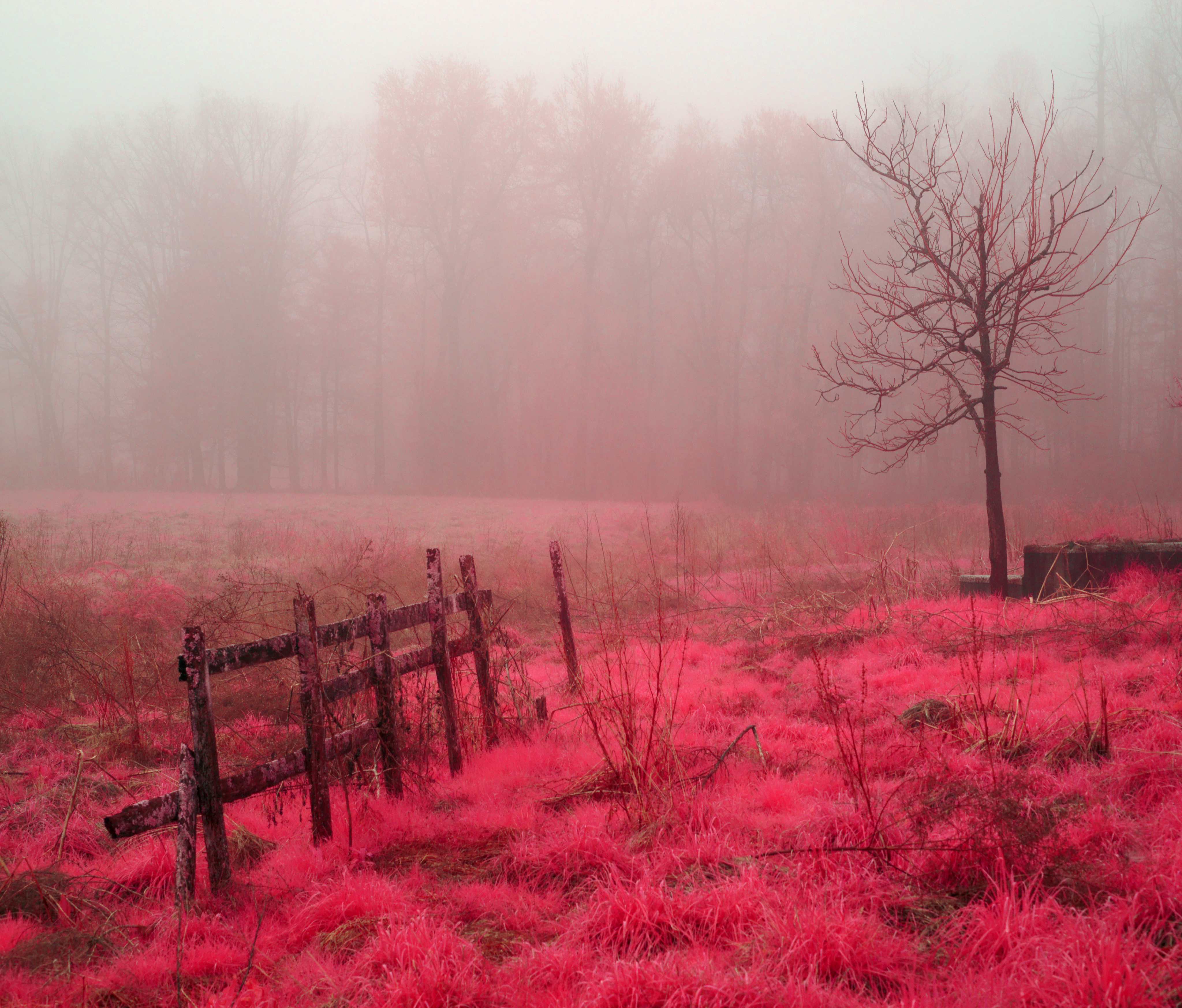
Morning Mist

Field of Zinnias Under a Very Cloudy Sky

Jump Off Rock Hendersonville NC in Amazing Light - Luminous

Pearson's Falls
Small Waterfall at Pearson's Falls

Carolina Dawn
Good Morning
Shag Rug Faceoff

Shades of Brown

Pearson's Falls in HDR
Topographic Map of Twin Lakes Dr, Flat Rock, NC, USA
Find elevation by address:

Places near Twin Lakes Dr, Flat Rock, NC, USA:
O'connor's Grading Inc
346 Big Hungry Rd
256 Pine River Rd
Gallimore Road
Flat Rock, NC, USA
Dana
4 Ridge Rd
Dana, NC, USA
Dana Rd, Hendersonville, NC, USA
603 Oleta Rd
Green River Narrows Put In
515 Rich Mountain Rd
94 Spruce Hill Dr
500 Oleta Mill Trail
67 Highland Hill Ln
107 Stone Valley Way
Deep Gap Road
267 Boulder Ridge Ct
Lakewood Rv Resort
15 Timmie Ln
Recent Searches:
- Elevation of Corso Fratelli Cairoli, 35, Macerata MC, Italy
- Elevation of Tallevast Rd, Sarasota, FL, USA
- Elevation of 4th St E, Sonoma, CA, USA
- Elevation of Black Hollow Rd, Pennsdale, PA, USA
- Elevation of Oakland Ave, Williamsport, PA, USA
- Elevation of Pedrógão Grande, Portugal
- Elevation of Klee Dr, Martinsburg, WV, USA
- Elevation of Via Roma, Pieranica CR, Italy
- Elevation of Tavkvetili Mountain, Georgia
- Elevation of Hartfords Bluff Cir, Mt Pleasant, SC, USA