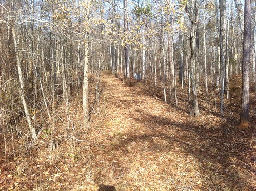
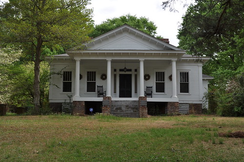
Elevation of Twin Bridges Road Southwest, Twin Bridges Rd SW, Georgia, USA
Location: United States > Georgia > Putnam County > Eatonton >
Longitude: -83.365885
Latitude: 33.2140071
Elevation: 135m / 443feet
Barometric Pressure: 100KPa
Related Photos:
Topographic Map of Twin Bridges Road Southwest, Twin Bridges Rd SW, Georgia, USA
Find elevation by address:

Places near Twin Bridges Road Southwest, Twin Bridges Rd SW, Georgia, USA:
Twin Bridges Rd SW, Eatonton, GA, USA
523 Dennis Station Rd Sw
126 Cedar Point Rd Nw
Montego Court East
Myricks Rd, Eatonton, GA, USA
107 Old Plantation Trail Nw
210 Parham Rd Nw
Gray Rd SW, Eatonton, GA, USA
Meriwether Ln NW, Milledgeville, GA, USA
Lake Sinclair
Putnam County
Putnam County
Putnam County
Putnam County
Putnam County
Putnam County
Putnam County
Putnam County
Putnam County
Putnam County
Recent Searches:
- Elevation of Corso Fratelli Cairoli, 35, Macerata MC, Italy
- Elevation of Tallevast Rd, Sarasota, FL, USA
- Elevation of 4th St E, Sonoma, CA, USA
- Elevation of Black Hollow Rd, Pennsdale, PA, USA
- Elevation of Oakland Ave, Williamsport, PA, USA
- Elevation of Pedrógão Grande, Portugal
- Elevation of Klee Dr, Martinsburg, WV, USA
- Elevation of Via Roma, Pieranica CR, Italy
- Elevation of Tavkvetili Mountain, Georgia
- Elevation of Hartfords Bluff Cir, Mt Pleasant, SC, USA
